_20.jpg)
.jpg)
.JPG)
The Geography of the
Basque Country
Why visit Euskadi?
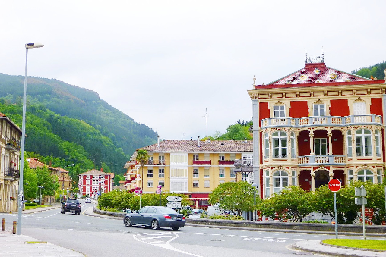
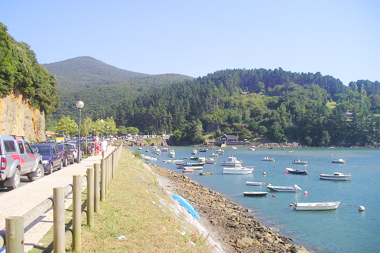
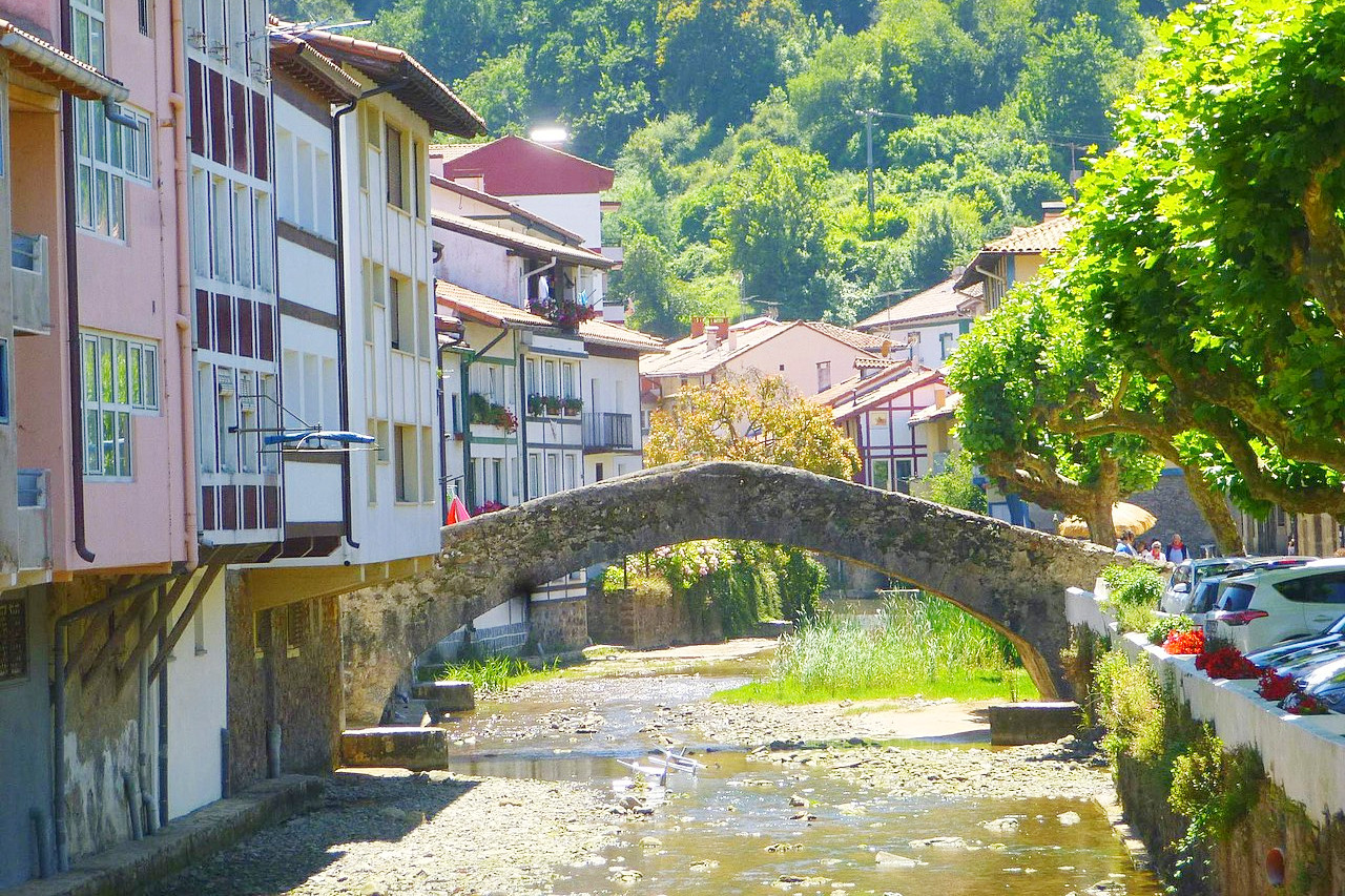
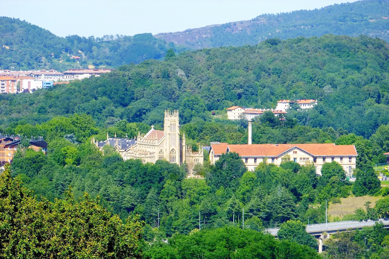
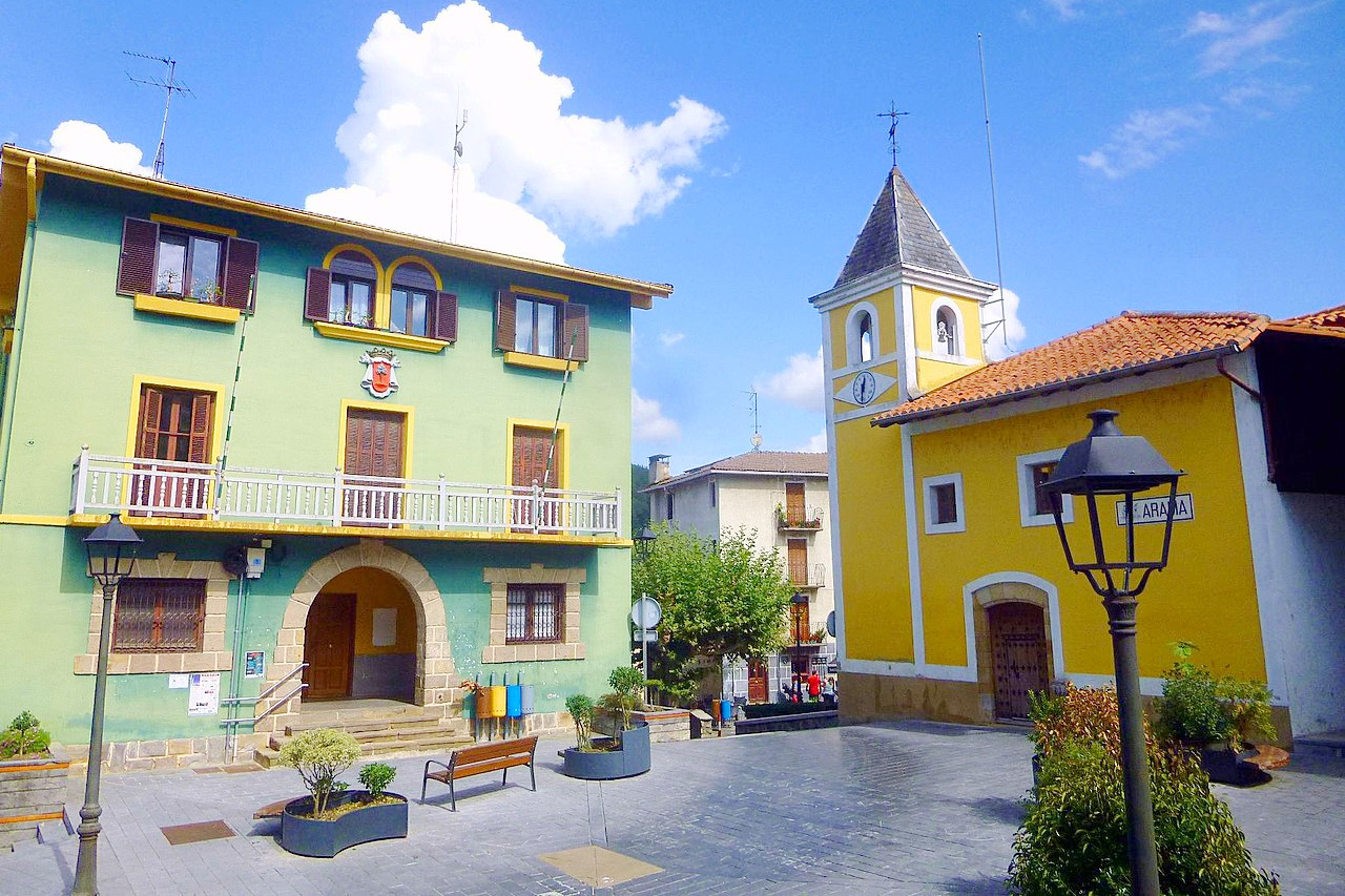
The Basque Country, or "Euskadi" is situated on the northern slope of the great Cantabrian chain. The province has a great variety of rugged scenery—mountains and hills with many narrow valleys and small plains. The coast is heavily indented, and has many small harbours. The mountains are covered with forests of oak, chestnut or pine, with furze and heath in other parts. The scenery, cottages, villages, and houses, are very Swiss-like.
Contents
Map
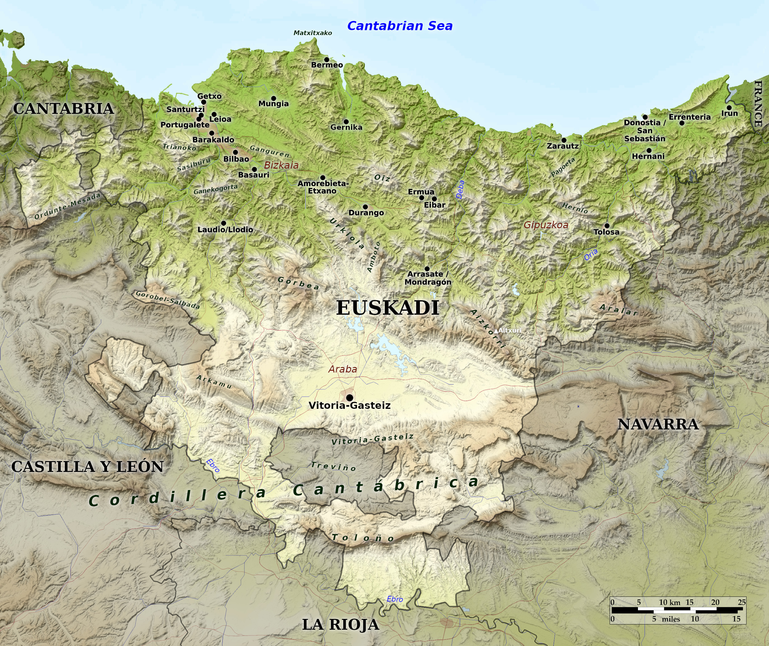 Relief map of the Basque Country
What is the landscape of Euskadi like?
The Basque region consists of three provinces abutting France along Spain's northeastern frontier. The Basques are a distinct people, having their own unique language and cultural traditions. Their region is known as Euskadi in their own language. The largest city in the Basque region is Bilbao, the capital of the province of Bizkaia. Donostia/San Sebastian is a famous seaside resort town and the capital of the northeast province of Gipuzkoa. Vitoria-Gasteiz is the capital of the southern province of Araba and also serves as the capital for the entire Basque region. Vitoria-Gasteiz attracts many visitors who flock to its monuments, museums, and cultural festivals.
The Basque country offers a green and rugged landscape, with wild coastlines. In many places it has an alpine aspect with farmhouses like Swiss chalets. The winter rains produce a vegetation of an intense shade of green. The northern districts of the region are hilly if not mountainous, with ranges of hills reaching the coast. The central and southern areas form part of the elevated plateaus of great Cantabrian chain. In the east is the peak of Aitxuri (1,551 m / 5,089 feet), the highest in the Basque region. South and west of this spot begins the plateau with the city of Vitoria-Gasteiz at its heart.
What is the nature of Euskadi like?
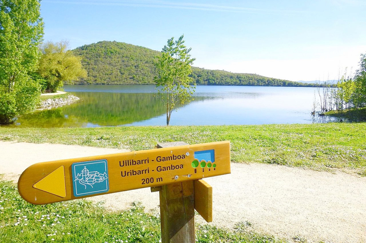
The Basque Region has many natural parks. Most of the valleys of the Basque Region are given over to agriculture, where vines, cereals, and root vegetables are grown. The forests grow on the hills alongside the valleys, and pine, oak, and beech trees can be found throughout the mountains.
What is the climate of Euskadi like?
There are marked differences in the climate in the different regions of the Basque Country. The coastal valleys have a maritime climate with moderate temperatures and year-round rainfall. Inland a more Mediterranean or continental climate begins with warm, dry summers and cold, snowy winters. The far south has a pure continental climate where the climate is hot and dry in summer and cold in winter.
| Climate data for Vitoria-Gasteiz (1981–2010) | |||||||||||||
|---|---|---|---|---|---|---|---|---|---|---|---|---|---|
| Month | Jan | Feb | Mar | Apr | May | Jun | Jul | Aug | Sep | Oct | Nov | Dec | Year |
| Average high °C (°F) | 8.7 (47.7) | 10.3 (50.5) | 13.7 (56.7) | 15.4 (59.7) | 19.3 (66.7) | 23.0 (73.4) | 25.7 (78.3) | 25.9 (78.6) | 23.1 (73.6) | 18.3 (64.9) | 12.4 (54.3) | 9.1 (48.4) | 17.1 (62.8) |
| Daily mean °C (°F) | 4.9 (40.8) | 5.7 (42.3) | 8.2 (46.8) | 9.8 (49.6) | 13.3 (55.9) | 16.6 (61.9) | 19.0 (66.2) | 19.2 (66.6) | 16.6 (61.9) | 12.9 (55.2) | 8.2 (46.8) | 5.5 (41.9) | 11.7 (53.1) |
| Average low °C (°F) | 1.2 (34.2) | 1.1 (34.0) | 2.7 (36.9) | 4.1 (39.4) | 7.2 (45.0) | 10.2 (50.4) | 12.3 (54.1) | 12.5 (54.5) | 10.1 (50.2) | 7.5 (45.5) | 4.0 (39.2) | 1.9 (35.4) | 6.2 (43.2) |
| Average precipitation mm (inches) | 75 (3.0) | 63 (2.5) | 63 (2.5) | 73 (2.9) | 70 (2.8) | 43 (1.7) | 38 (1.5) | 39 (1.5) | 41 (1.6) | 71 (2.8) | 91 (3.6) | 82 (3.2) | 742 (29.2) |
| Source: Agencia Estatal de Meterología | |||||||||||||
_20.jpg&oldid=457567858)
.jpg&oldid=611903512)
.JPG&oldid=460123885)
The official websites
Euskadi
A unique culture
| Location: | Northern Spain |
| Coordinates: | 43° 00′ N, 2° 45′ W |
| Size: | • 110 km N-S; 140 km E-W • 70 miles N-S; 90 miles E-W |
| Terrain: | Rugged terrain with many small ranges of hills and mountains running roughly east to west |
| Climate: | Maritime climate in the north with moderate temperatures and rainfall. Continental climate inland with warm, dry summers and cool, snowy winters |
| Highest point: | Aitxuri 1551 m / 5089 ft |
| Forest: | 60% (2010 est.) (source) |
| Population: | 2,220,504 (2020) |
| Population density: | High (307/km²) |
| Capital: | None (Vitoria de facto) |
| Languages: | Basque; Spanish |
| Human Development Index: | Very High (0.934) |