The Geography of
Spain
Why visit Spain?
Spain is remarkable for its striking contrasts and its vast expanses. There are mountains rising with alpine grandeur, but often sheltering rich and magnificent valleys at their base. Dark woodlands of cork-oak and olive contrast with arid steppes which extend for miles. There is an excitingly "different" feeling about Spain, with its sunny beaches, rich art galleries, grandiose churches, and fiestas. Two totally different cultures have gone into its making—the Roman Catholic and the Muslim—legacy of 700 years of Moorish rule (711–1492).
Contents
Map
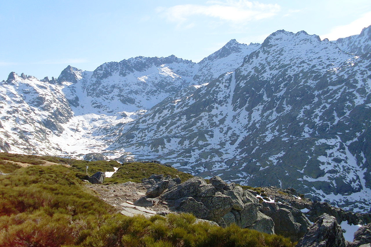
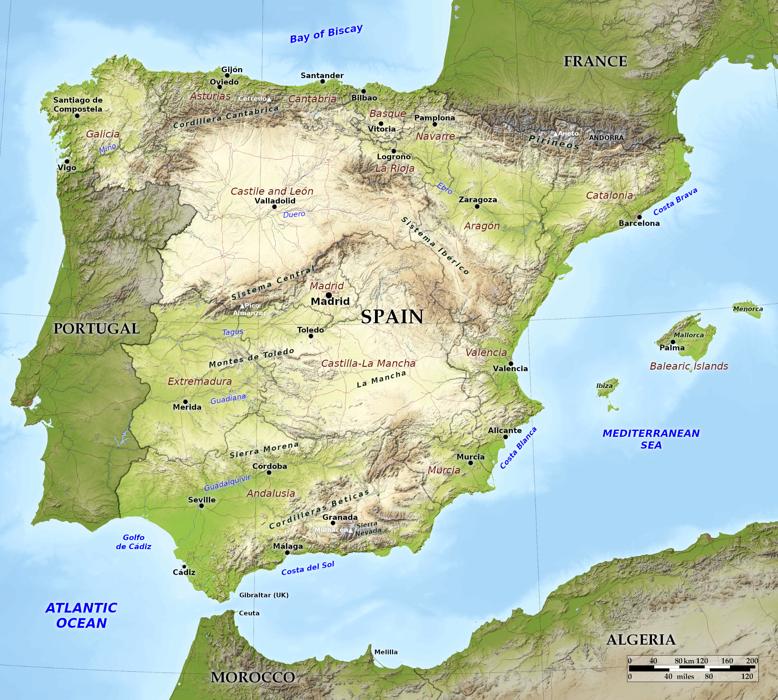 Relief map of Spain
What is the landscape of Spain like?
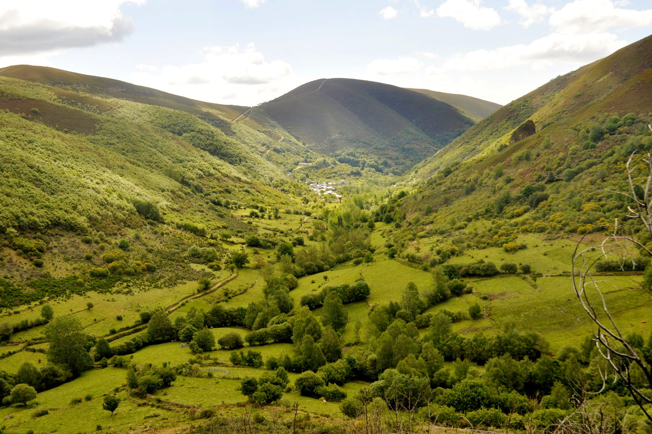
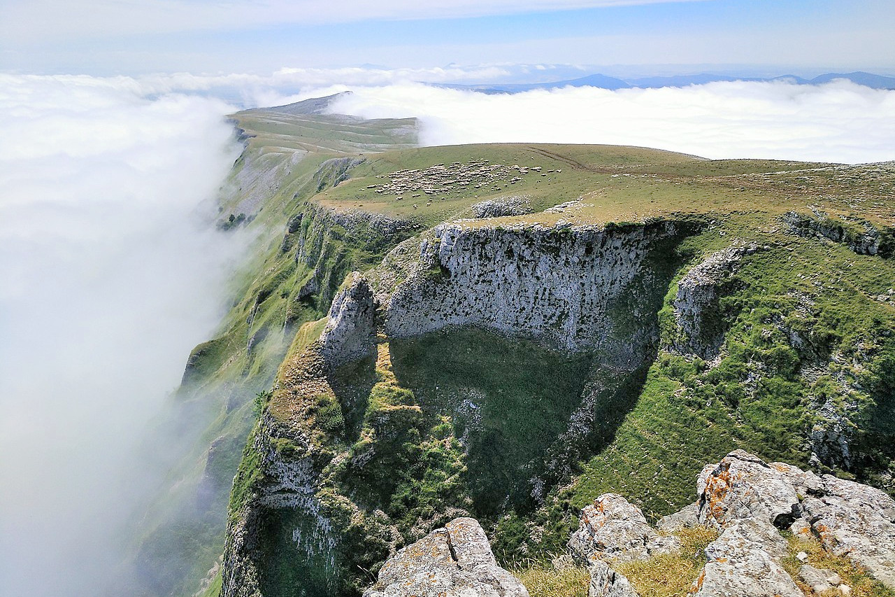
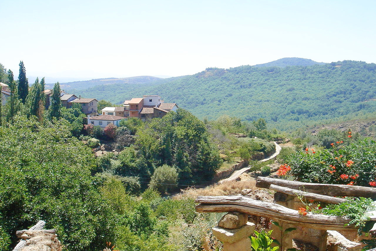
Spain is wonderfully varied; some regions are remarkably fertile, while others are nothing but steppes. The northwest provinces with their mountain scenery are in as striking contrast with the parched prairies of Castile and Extremadura; the fertile plains of Aragon; the meadows of Andalusia; and the perpetual snows of the Pyrenees, the Cantabrian Mountains, and the Sierra Nevada.
Northern Spain
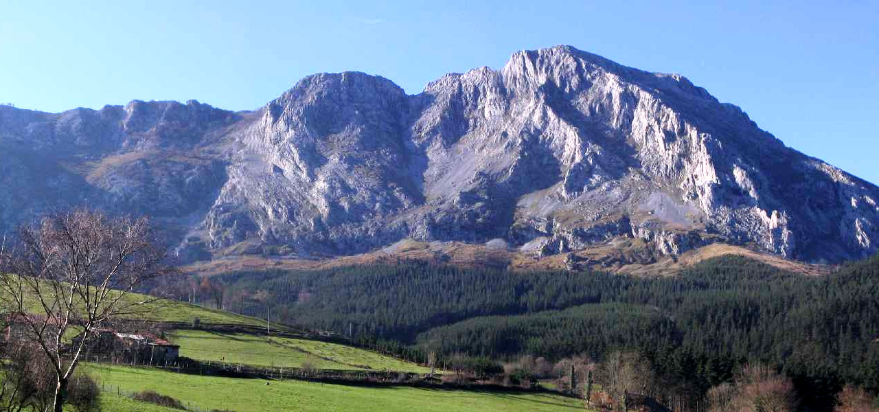
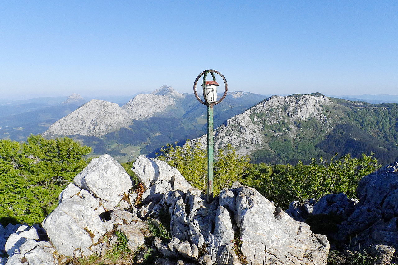
Northern Spain in mountainous. In the northwest are the Galician Hills, about 10,000 square miles of ancient rocks drained by the Minho River. The shoreline is much indented; the capes are rocky, rugged headlands. In the middle are the Cantabrian Mountains—a continuation of the Pyrenees, but they are not raised so high and nor been eroded so deeply but they receive suiricicnt rain at all seasons to be covered in forests. In the northeast are the Pyrenees. This region contains the highest points in Spain, though not the most rugged scenery. Roads wind along the steep valleys and pass over to the French side.
Pyrenees
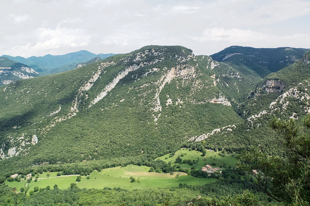
The main crest of the Pyrenees form the France-Spain border. These are high mountains, lacking in great lakes, but with a large number of the mountain torrents which often form lofty waterfalls. The western end of the range receives much more rainfall than eastern end, and consequently, the extreme west is very well wooded, but although the forests decline eastwards, the eastern Pyrenees are quite wild. The Pyrenees attain their greatest altitude in the peak of Aneto at 3,404 metres (11,168 ft) in Aragon.
Central Spain
Two thirds of Spain is the Meseta, a vast plateau of ancient rocks divided in two large areas, one the upper Douro basin and the other southeast of Madrid. Its people practise grazing and large-scale farming. Meseta agriculture today produces wheat, especially in the moist northwest, barley and chick peas, olives and esparto grass in the south, and many grapes in the southern valleys. Olives and almonds are scattered over much of the upland.
Sistema Central
In the middle of Spain is another great mountain range, the Sistema Central. This is a region filled with hills and plains. Its culminating point, Pico Almanzor, attains the height of 2,591 m (8,501 ft), not far short of that of the highest Cantabrian summits. Towards the south the mountains have steep slopes, but on the north they descend somewhat more gently. The westernmost part of this range is another rough and hilly tract the Sierra de Gata, close to the border with Portugal.
Southern Spain
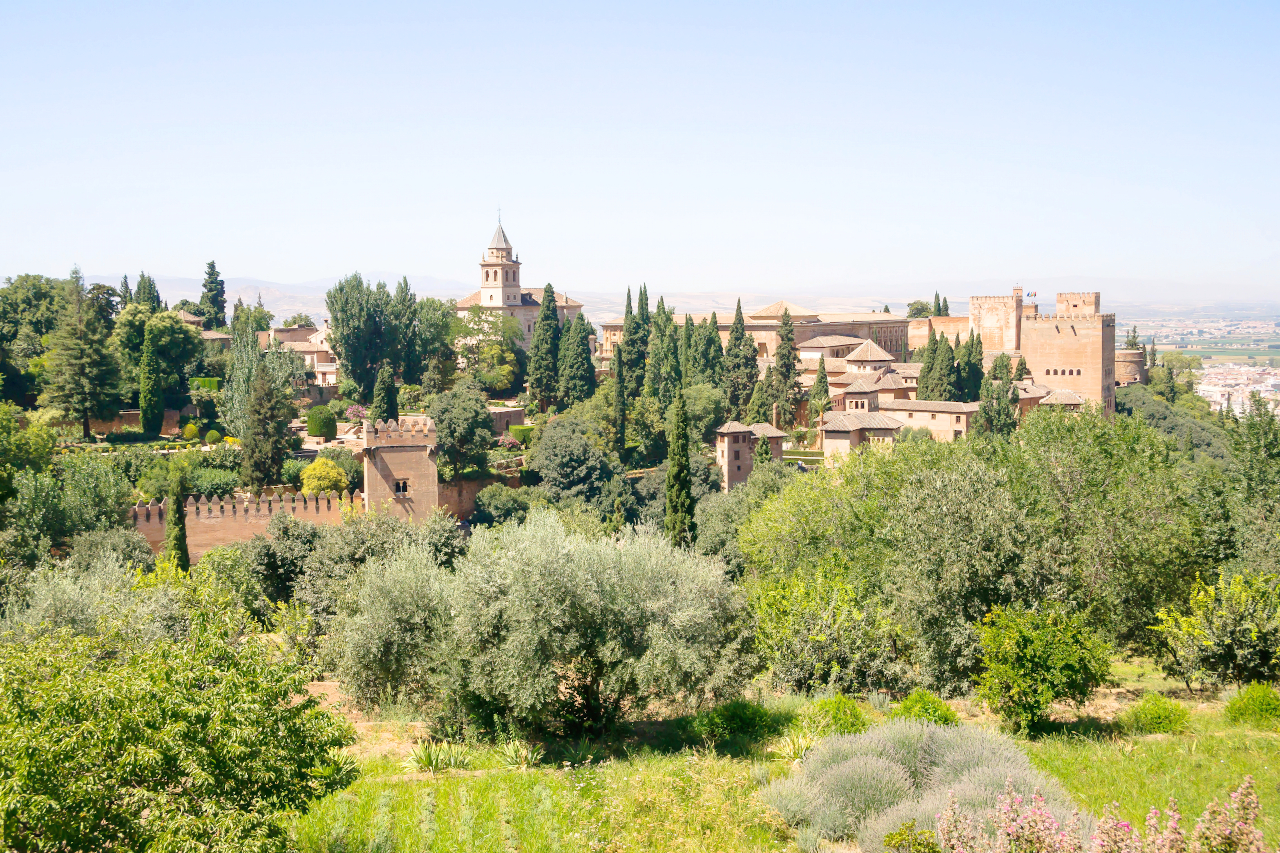
The South contains some of the most inspiring scenery of Spain. Some of the large valleys within the mountains are very beautiful. Granada stands in such a rural valley—while the scenery around the city is interesting, the Moorish palace. Alhambra, is the greatest attraction.
Sierra Nevada
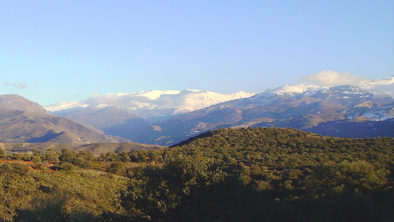
Of the many mountain ranges along the Mediterranean coast, the Sierra Nevada is the most beautiful. These highlands constitute Andalucia Alta or Upper Andalusia. The Sierra Nevada owes its name, "the snowy range," to the fact that several of its peaks exceed 10,000 feet in height and are covered in snow. The culminating point, Mulhacén (3,479 m / 11,413 ft) is the highest mountain in Spain. On both sides deep valleys follow one another in close succession, in many cases with round, basin-shaped heads like the cirques of the Pyrenees, many with alpine lakes.
Balearic Islands
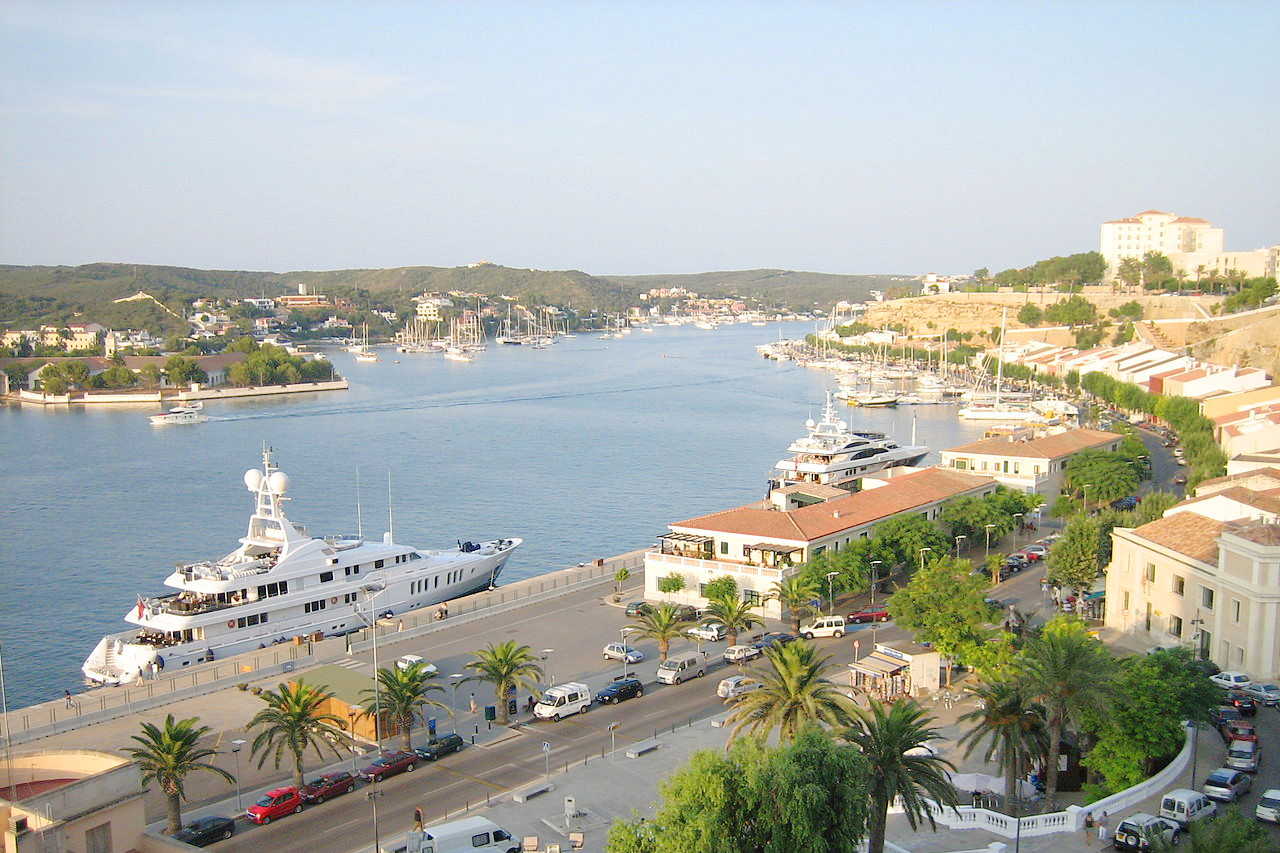 Port of Mahon, Menorca
What is the nature of Spain like?
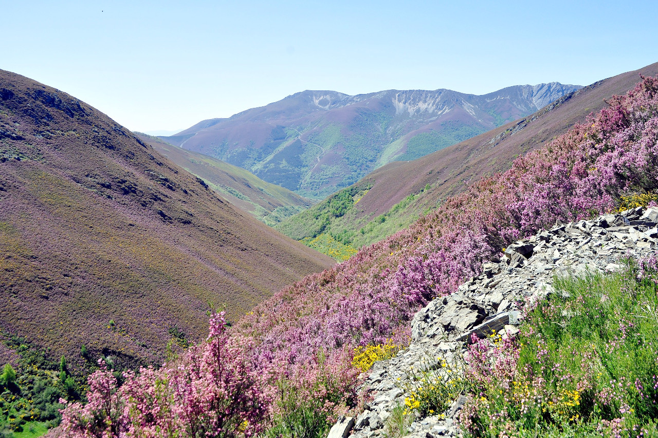
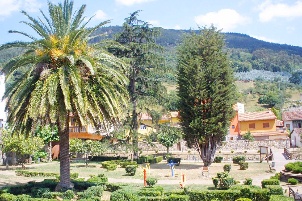
No other country in Europe of equal extent has so great a wealth of plant species as Spain. The northern Atlantic provinces have a high rainfall, and here the soil is very fertile. Hence the vegetation of northwest Spain resembles that of central Europe. Here are found rich grass meadows covered with flowers, and forests of oak, beech and chestnut. There is extraordinary abundance of ferns.
In the inland provinces, especially on the plateaus, the plants are chiefly Mediterranean species, including many which are confined to Spain and Portugal. There are large tracts of evergreen shrubs and large herbaceous plants. In the central regions huge thistles and similar plants are scattered in great profusion. On the higher slopes, the vegetation has an almost alpine character.
The Spanish steppes cover large regions throughout Castile—these often have only a sparse covering of shrubs with thick, greyish green, often downy leaves. In other parts, Murcia, La Mancha, and Granada etc., there are grass steppes covered chiefly with esparto grass.
The southern provinces have plants which are characteristic of North Africa. Around the coasts of Malaga and Granada the vegetation is of almost tropical richness and beauty, while further east in Murcia and Alicante, the scenery is almost Saharan—fertile oases appearing in the midst of rocky deserts or barren steppes. The southwest coast and the swamps of the Guadalquivir, on the other hand, are covered with low shrubs with fleshy leaves; and everywhere on moist sandy ground are tall thickets of giant cane.
Evergreen oaks, chestnuts and conifers are the prevailing trees of Spain. Cork oaks are grown in the southern provinces and in Catalonia. Among other characteristic trees are the Aleppo pine, the Corsican pine, and the Spanish fir. Besides the date-palm, the dwarf-palm grows spontaneously in some parts of the south.
What is the climate of Spain like?
See our main article: The Climate of Spain
.jpeg&oldid=395838511)
.jpg&oldid=387956051)
Spain presents examples of every kind of climate to be found in Europe. the north and north-west provinces have a mild climate with abundant rain all the year round. Roses bloom in the gardens in winter as plentifully as in summer. Inland, in the heart of the tableland provinces, there are great extremes of temperature. The summers have hot days and cold nights; the heat of summer can often be intense—the treeless steppes with a bright-coloured soil acting like a mirror reflecting the sun's rays. In winter, on the other hand, snowfall is common, though the snow seldom lies long except at high altitudes. The south of Spain has a sub-tropical climate with hot and almost rainless summers and mild winters—the temperature hardly ever sinking below freezing-point. Thus the winter in the south is the season of the brightest vegetation: after the long drought of summer the surface gets covered with a fresh green varied with bright-colored flowers.
The rainfall across Spain varies as greatly as the temperatures. The northwest has one of the highest rainfalls on the mainland of Europe, and the rain is abundant all the year round. Once into the interior you will find that the summers are not only hot but almost rainless, and the atmosphere is filled with a fine dust. The south similarly, has almost rainless summers.
| Climate data for Madrid (1981–2010) | |||||||||||||
|---|---|---|---|---|---|---|---|---|---|---|---|---|---|
| Month | Jan | Feb | Mar | Apr | May | Jun | Jul | Aug | Sep | Oct | Nov | Dec | Year |
| Average high °C (°F) | 9.8 (49.6) | 12.0 (53.6) | 16.3 (61.3) | 18.2 (64.8) | 22.2 (72.0) | 28.2 (82.8) | 32.1 (89.8) | 31.3 (88.3) | 26.4 (79.5) | 19.4 (66.9) | 13.5 (56.3) | 10.0 (50.0) | 19.9 (67.8) |
| Daily mean °C (°F) | 6.3 (43.3) | 7.9 (46.2) | 11.2 (52.2) | 12.9 (55.2) | 16.7 (62.1) | 22.2 (72.0) | 25.6 (78.1) | 25.1 (77.2) | 20.9 (69.6) | 15.1 (59.2) | 9.9 (49.8) | 6.9 (44.4) | 15.0 (59.0) |
| Average low °C (°F) | 2.7 (36.9) | 3.7 (38.7) | 6.2 (43.2) | 7.7 (45.9) | 11.3 (52.3) | 16.1 (61.0) | 19.0 (66.2) | 18.8 (65.8) | 15.4 (59.7) | 10.7 (51.3) | 6.3 (43.3) | 3.6 (38.5) | 10.1 (50.2) |
| Average precipitation mm (inches) | 33 (1.3) | 35 (1.4) | 25 (1.0) | 45 (1.8) | 51 (2.0) | 21 (0.8) | 12 (0.5) | 10 (0.4) | 22 (0.9) | 60 (2.4) | 58 (2.3) | 51 (2.0) | 423 (16.8) |
| Source: Agencia Estatal de Meteorología | |||||||||||||
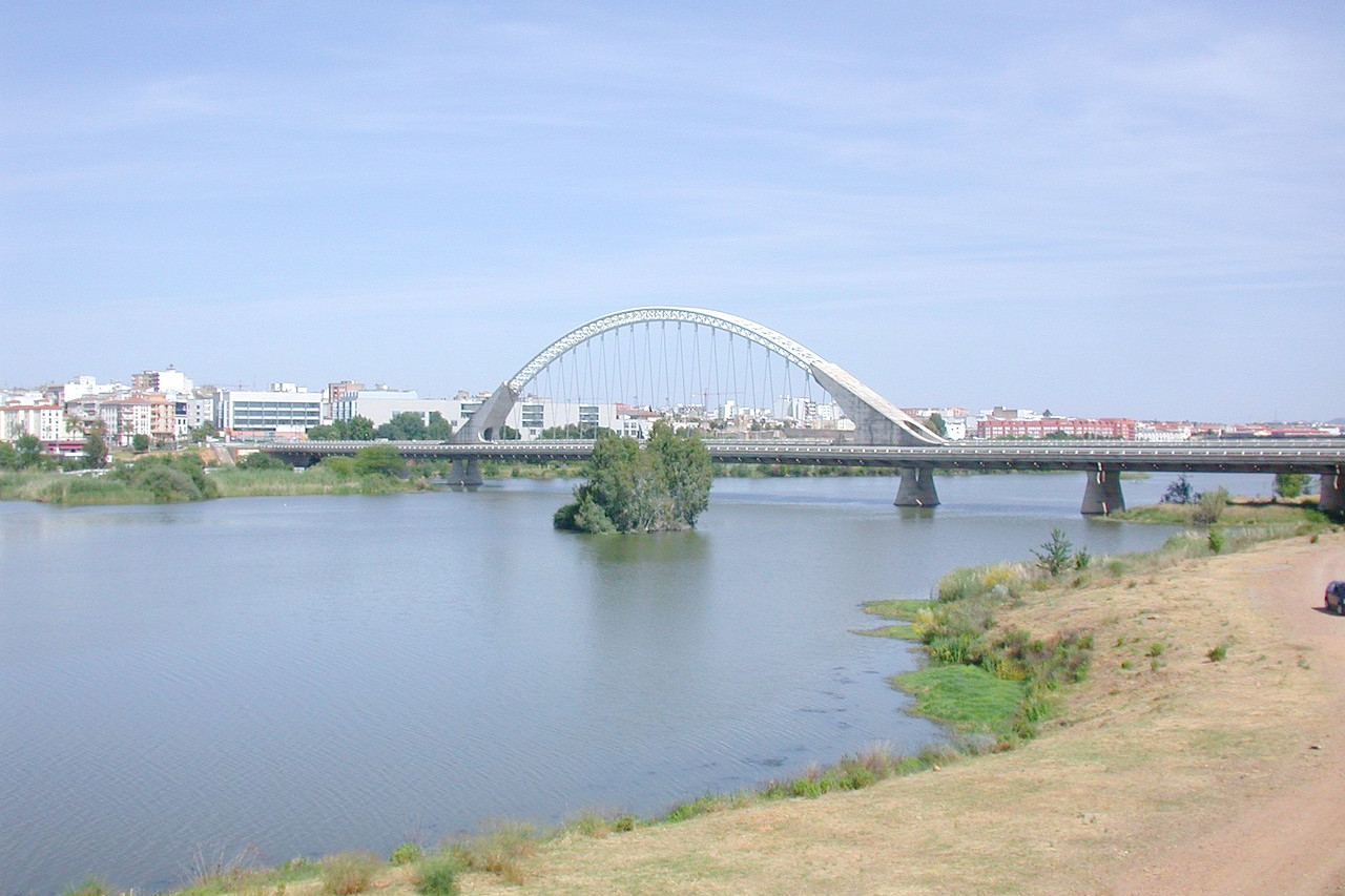
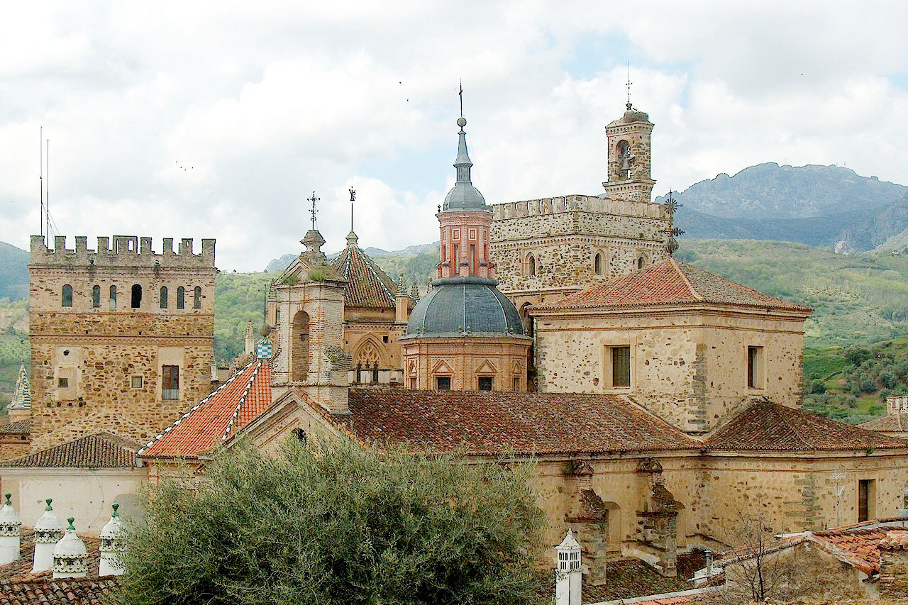 Monasterio de Guadalupe in Extremadura
The official websites
Spain
Everything under the Sun
| Location: | Southwestern Europe, bordering the Mediterranean Sea, North Atlantic Ocean, Bay of Biscay, and Pyrenees Mountains; southwest of France |
| Coordinates: | 40° 00′ N, 4° 00′ W |
| Size: | • 950 km N-S; 1,085 km E-W • 590 miles N-S; 765 miles E-W |
| Terrain: | Large, flat to dissected plateau surrounded by rugged hills; Pyrenees mountains in north |
| Climate: | Temperate; clear, hot summers in interior, more moderate along coast; cloudy, cold winters in interior, partly cloudy and cool along coast |
| Highest point: | Mulhacén 3,479 m / 11,413 ft |
| Forest: | 36.8% (2011 est.) |
| Population: | 50,015,792 (July 2020 est.) |
| Population density: | Low-to-medium (94/km²) |
| Capital: | Madrid |
| Languages: | Castilian Spanish (official nationwide) 74%, Catalan 17%, Galician 7%, Basque 2%, Aragonese, Aranese, Valencian |
| Human Development Index: | Very high (0.904) |
| Currency: | Euro |