The Geography of
Catalonia
Why visit Catalonia?
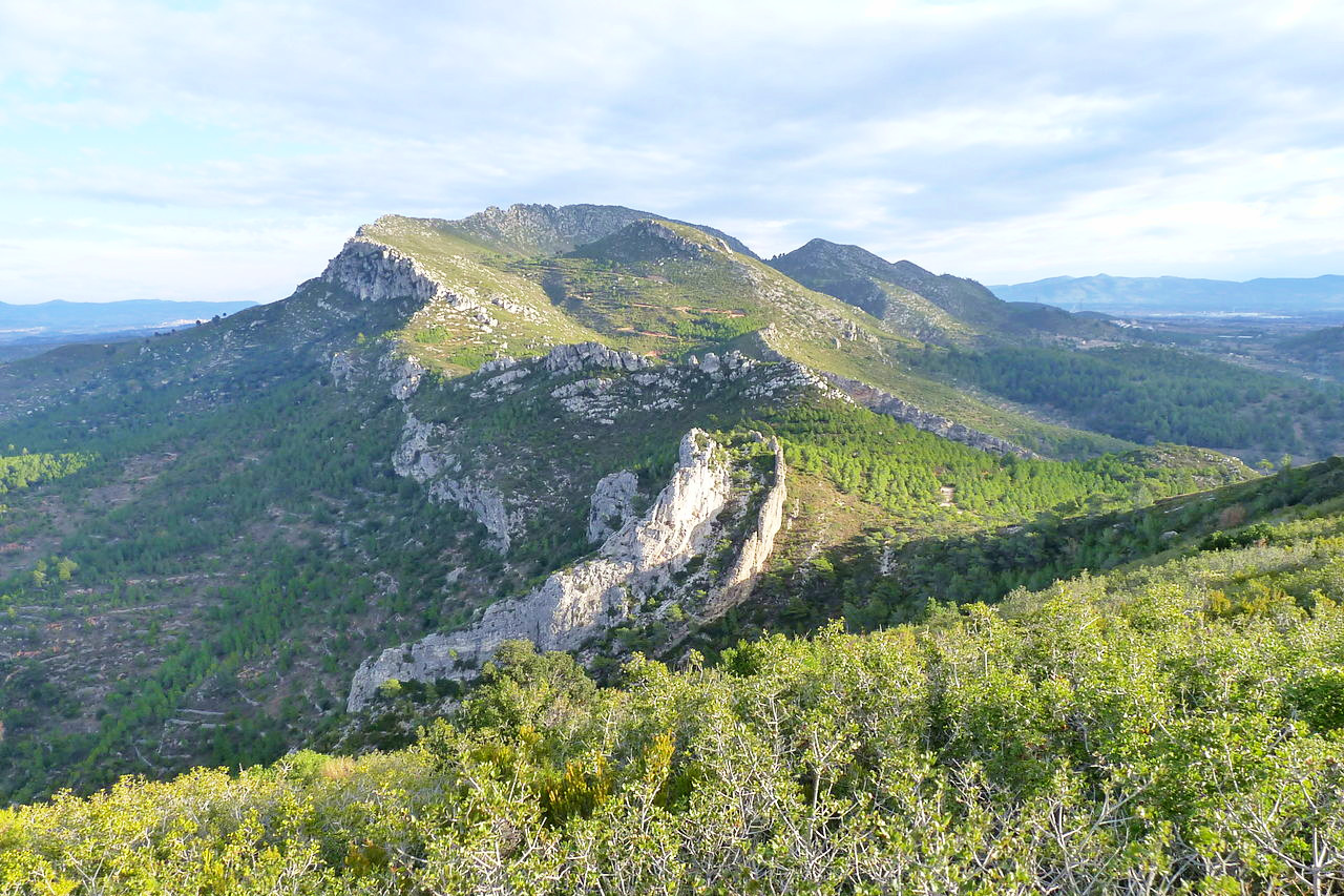
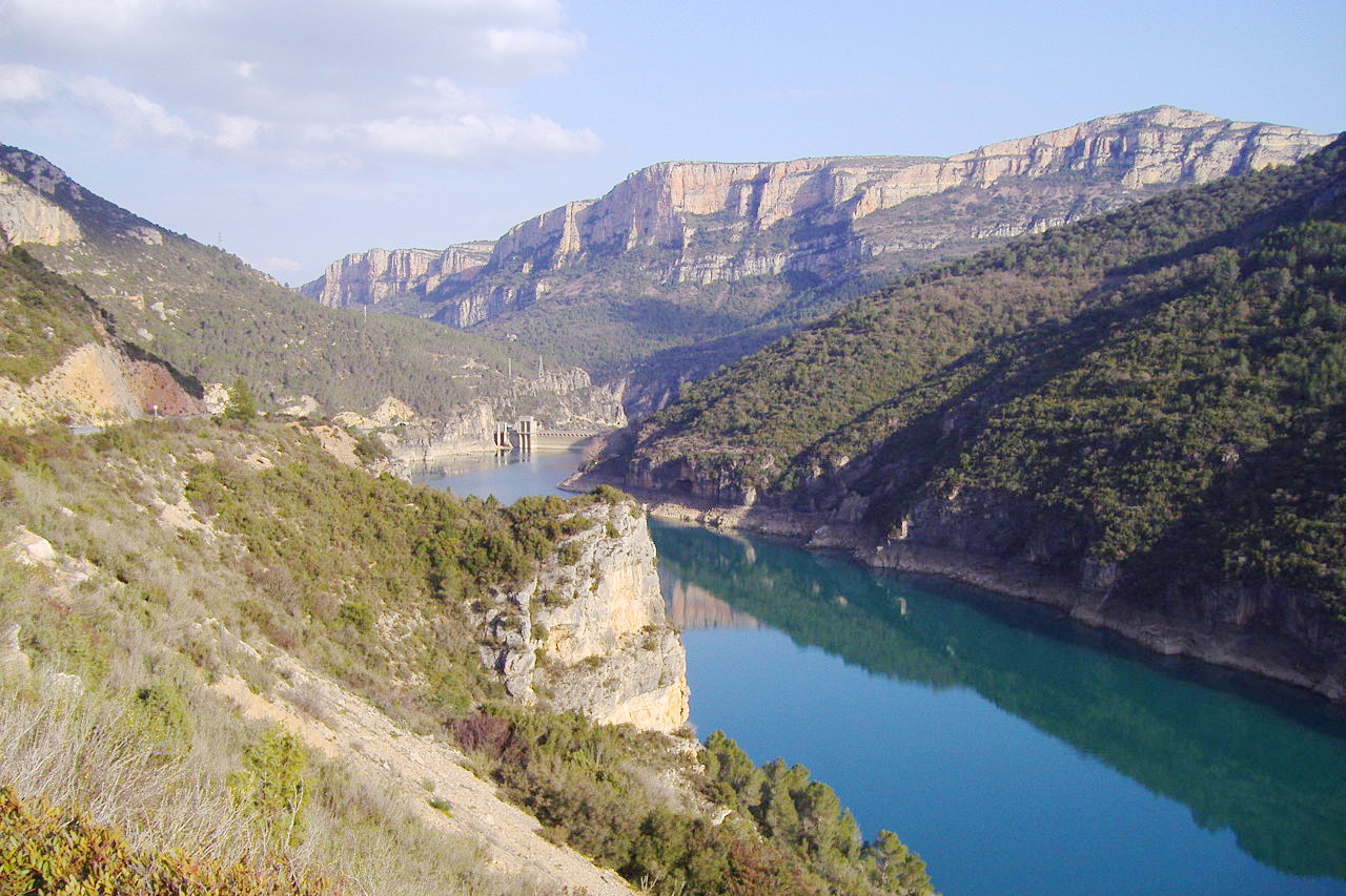
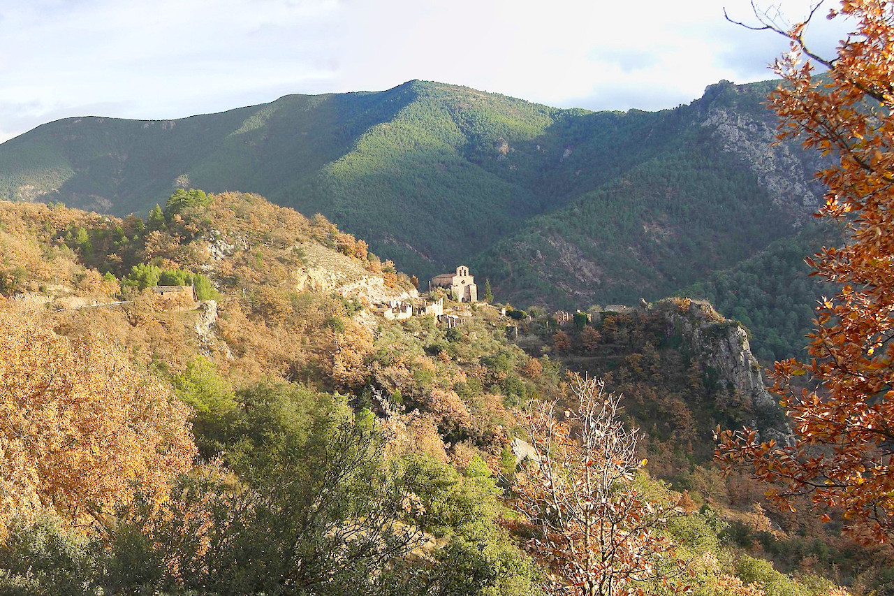
Catalonia is marked by magnificent scenery. Much of Catalonia is broken by spurs of the Pyrenees running south, but this intersects the coastal hills running southwest to northeast. These hills are often densely wooded, and intersected by deep ravines. Along the coast, steep and rocky cliffs alternate with flat stretches with beaches.
Contents
Map
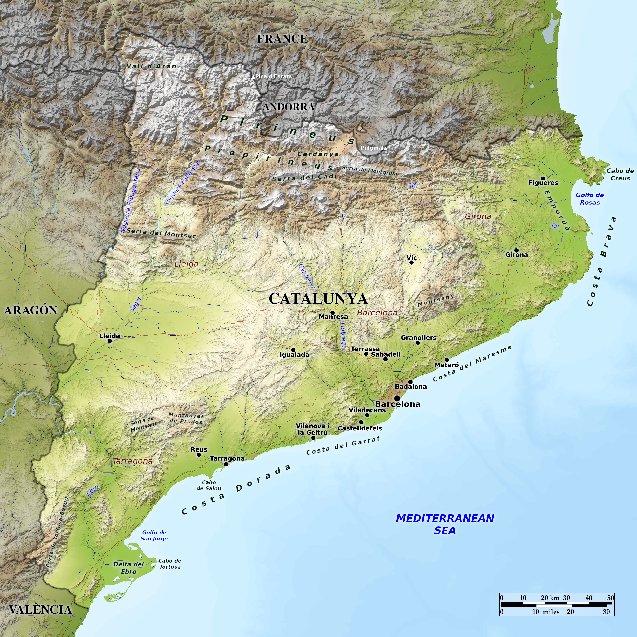 Relief map of Catalonia
What is the landscape of Catalonia like?
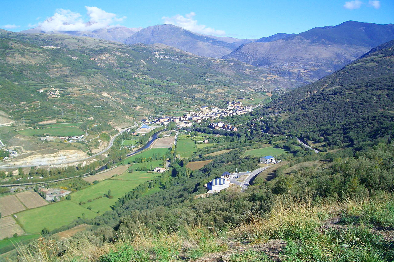
Catalonia is situated on the Mediterranean coast, bordering France and Andorra. Northern Catalonia is marked by magnificent scenery, courtesy of the Pyrenees Mountains. Ranges of hills run southwest through central Catalonia, forming its central watershed. Catalonia's landscape changes from deep valleys and rugged coastlines to fertile gardens ("huertas"), coastal and irrigated plains rich with citrus orchards.
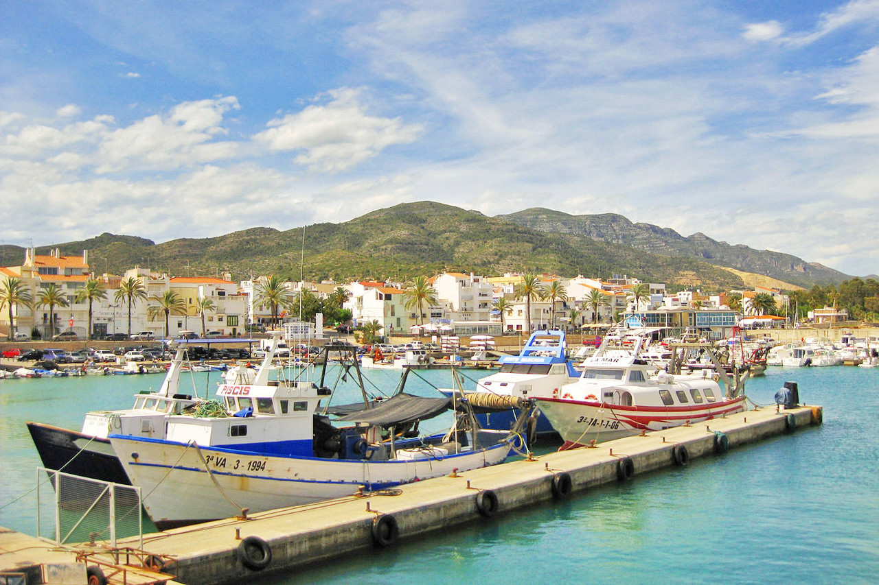
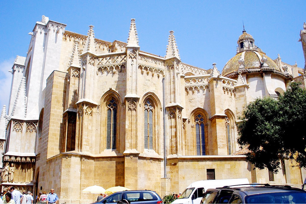
The coast, which is partly sandy, partly rocky, extends about 240 miles. The chief city is Barcelona, the capital and the most populous city. The northern stretch of the coast is the Costa Brava, a coastline known for its beaches and nightlife. Other cities of interest in Catalonia include Tarragona, an important port, and Girona, a well-preserved medieval city in northern Catalonia.
What is the nature of Catalonia like?
The coastal plains of Catalonia feature a coastal scrub with palm trees, oak groves, pine forests, and shrubs and heaths. The inland plains feature holm oak and a scrub of hawthorn/buckthorn. The hills and mountains of Catalonia have extensive beech forests, often with oak groves competing with mountain pine forests. The high altitudes of the Pyrenees have subalpine forests: fir trees, pine groves, and alpine meadows.
What is the climate of Catalonia like?
Catalonia enjoys a Mediterranean climate, although with large variations in temperature between the coastal areas, the interior, and the mountains. The coast has a mild climate, temperate in winter and very hot in summer. The interior has a more continental climate with cold winters and very hot summers. The mountainous areas of the Pyrenees have a high mountain climate, with abundant snow in winter and cooler summers. The mountains and the higher hills receive enough rainfall to make the landscape green and lush; the remainder of Catalonia is considered rather 'dry'.
| Climate data for Barcelona (1987–2010) | |||||||||||||
|---|---|---|---|---|---|---|---|---|---|---|---|---|---|
| Month | Jan | Feb | Mar | Apr | May | Jun | Jul | Aug | Sep | Oct | Nov | Dec | Year |
| Average high °C (°F) | 14.8 (58.6) | 15.6 (60.1) | 17.4 (63.3) | 19.1 (66.4) | 22.5 (72.5) | 26.1 (79.0) | 28.6 (83.5) | 29.0 (84.2) | 26.0 (78.8) | 22.5 (72.5) | 17.9 (64.2) | 15.1 (59.2) | 21.2 (70.2) |
| Daily mean °C (°F) | 11.8 (53.2) | 12.4 (54.3) | 14.2 (57.6) | 15.8 (60.4) | 19.3 (66.7) | 22.9 (73.2) | 25.7 (78.3) | 26.1 (79.0) | 23.0 (73.4) | 19.5 (67.1) | 14.9 (58.8) | 12.3 (54.1) | 18.2 (64.8) |
| Average low °C (°F) | 8.8 (47.8) | 9.3 (48.7) | 10.9 (51.6) | 12.5 (54.5) | 16.1 (61.0) | 19.8 (67.6) | 22.7 (72.9) | 23.1 (73.6) | 20.0 (68.0) | 16.5 (61.7) | 11.9 (53.4) | 9.5 (49.1) | 15.1 (59.2) |
| Average precipitation mm (inches) | 43.7 (1.72) | 31.4 (1.24) | 33.0 (1.30) | 47.7 (1.88) | 47.4 (1.87) | 32.5 (1.28) | 25.1 (0.99) | 40.8 (1.61) | 81.9 (3.22) | 96.5 (3.80) | 45.1 (1.78) | 46.8 (1.84) | 571.9 (22.53) |
| Source: Servei Meteorològic de Catalunya | |||||||||||||
The official websites
Catalunya
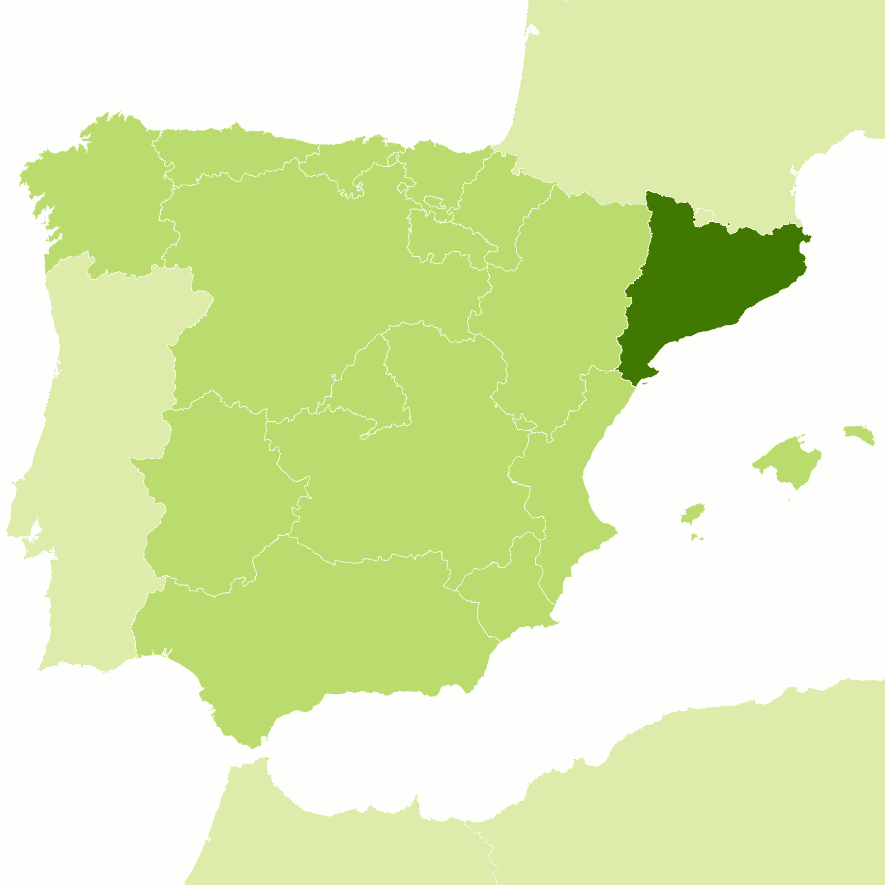
A Land that inspires
| Location: | Northeast Spain |
| Coordinates: | 41° 45′ N, 1° 45′ E |
| Size: | • 260 km N-S; 265 km E-W • 160 miles N-S; 165 miles E-W |
| Terrain: | Partly low, partly rocky coast; hills inland running southwest to northeast to the high mountains of the Pyrenees |
| Climate: | Coast has hot summers and mild winters. Interior has hot summers with colder winters. Alpine climate in the Pyrenees: warm summers; cold, snowy winters |
| Highest point: | Pica d'Estats 3143 m / 10312 ft |
| Forest: | 36% (2010 est.) (source) |
| Population: | 7,780,479 (2020) |
| Population density: | High (242/km²) |
| Capital: | Barcelona |
| Languages: | Catalan, Spanish, Occitan |
| Human Development Index: | Very High (0.916) |
.jpg)
.jpg)
.jpg)