The Geography of
Galicia
Why visit Galicia?
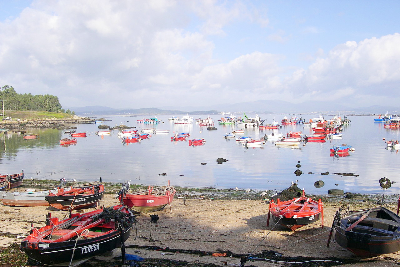
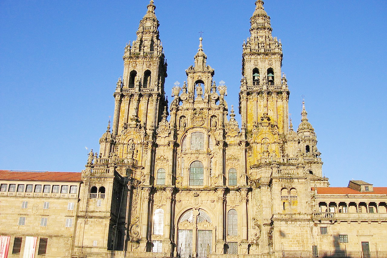
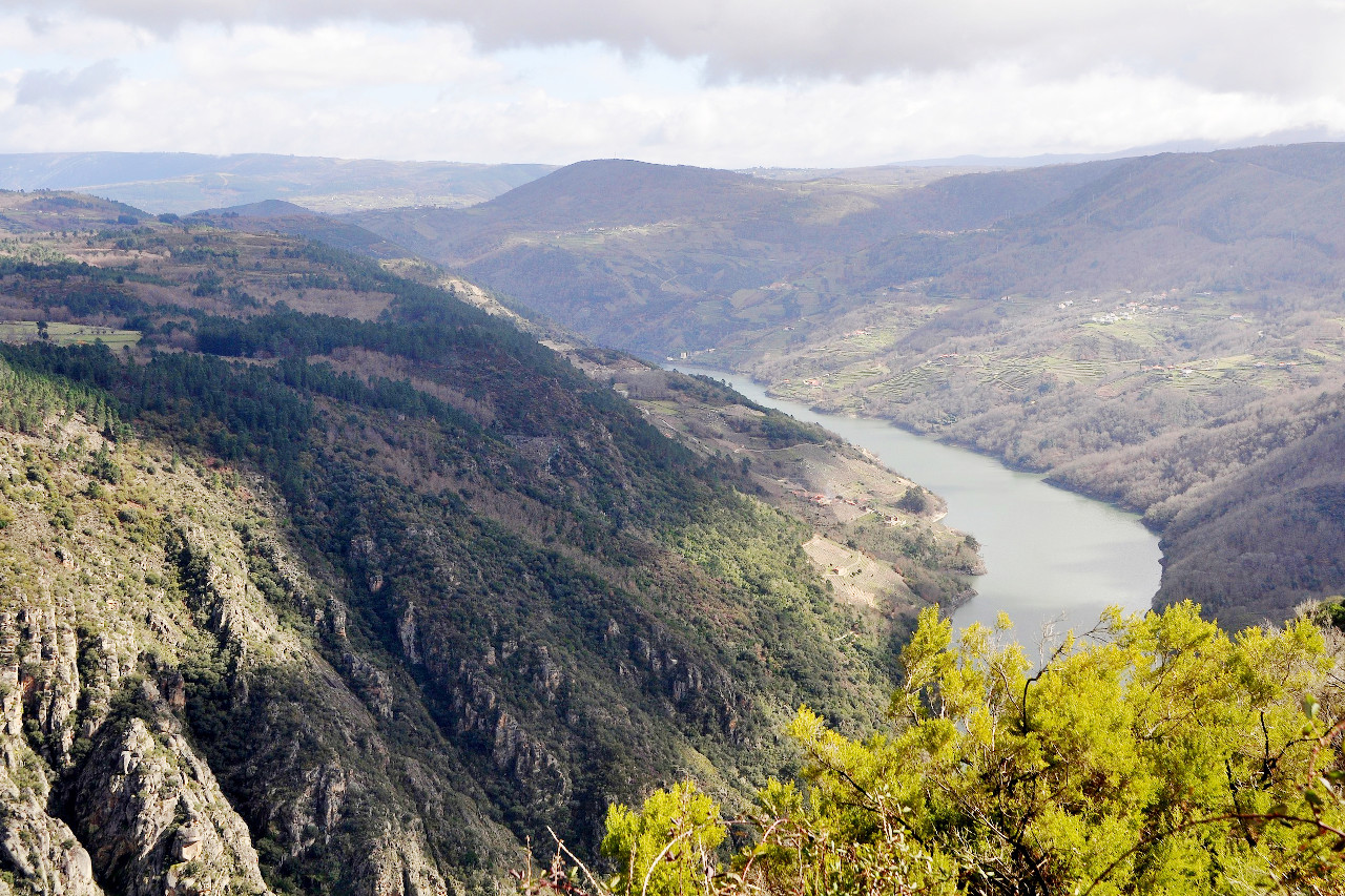
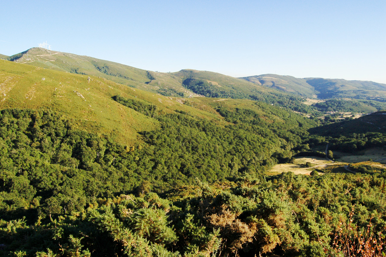
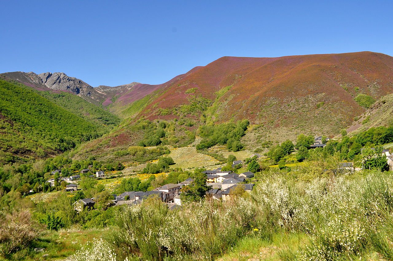
Galicia is known for its forest-clad hills; its steep and rocky coasts; and its fjord-like harbors including the unrivalled Bay of Vigo. The city of Santiago was the greatest pilgrimage centre of medieval times. This capital of Galicia is situated on a hill surrounded by a range of mountains through which passes the pilgrim route.
Contents
Map
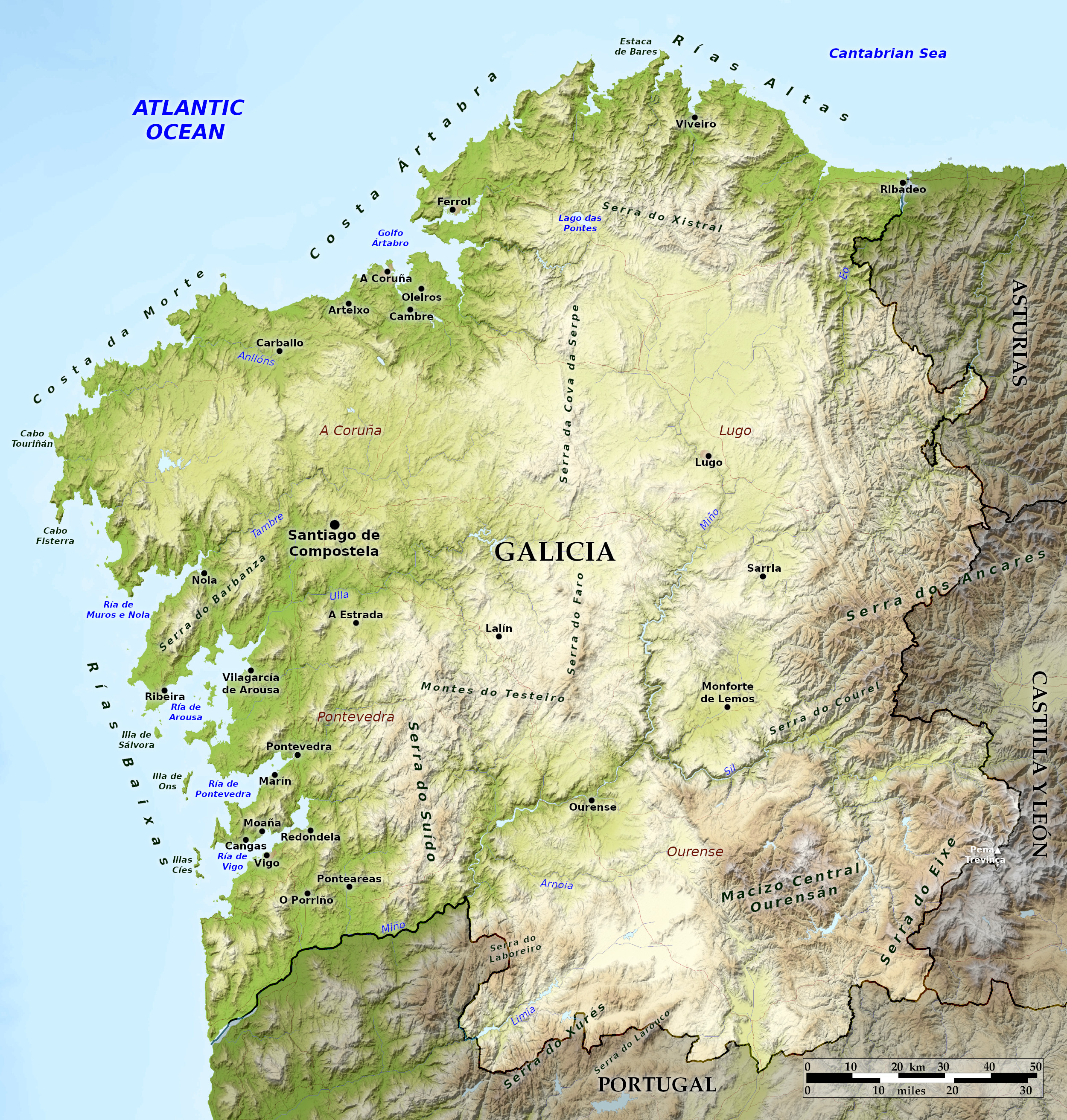 Relief map of Galicia
What is the landscape of Galicia like?
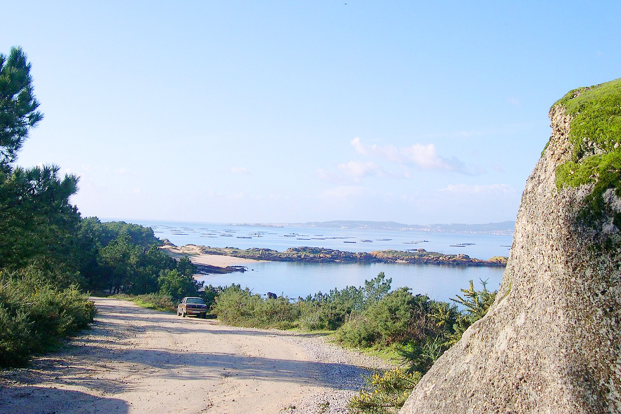
Galicia is situated in the northwest corner of Spain. It is often likened to West Ireland, with plentiful rainfall producing lush green hillsides and half-submerged valleys called rias. Galicia’s jagged, spectacular coastline attracts many visitors. The coastline, about 240 miles long, is everywhere broken by numerous narrow, steep bays which resemble the fjords of Norway and Alaska.
Galicia is also traversed by mountain ranges: in the east are the westernmost ridges of the Cantabrian mountains, but further hills and mountains cover central and western Galicia. Much of the regions is a high plateau, and the maximum height (2,127 m / 6,978 ft) is reached in the southeast.
The Galicians speak a unique Romance language, Galego, which is more closely related to Portuguese than to Castilian Spanish. The region is a joy to visit in the summer, when festivals abound in the villages.
Galicia is also home to the most important Christian shrine in Spain, Santiago de Compostela. During the Middle Ages, Christian pilgrims from every corner of Europe journeyed to the cathedral in this city on the Santiago pilgrimage route (El Camino de Santiago). Today, thousands of tourists, some of them on a religious quest and others merely sightseeing, continue this centuries-old tradition.
What is the nature of Galicia like?
Galicia is one of the most heavily forested parts of Spain, with over half of the region being woodland and forest. The coastal forests typically have oak, birch, alder, etc. whereas the inland forests are more Mediterranean with cork oaks, arbutus, chestnut, etc., but often with holly trees, firs, pines, etc. In some parts though the native forest has been replaced with plantations of Australian eucalyptus. Because of the mild climate and high rainfall, subtropical and even tropical species are also found including palms and orchids.
What is the climate of Galicia like?
In general Galicia has a mild, maritime climate, although the interior with its greater altitude has a wider range of temperature than the coast. The rainfall is highest on the northern coast, but the climate there is a mild oceanic one. A more continental climate can be found inland, especially in the southeast (Orense)—there summers can be very hot. Snow is very rare on the coast but regularly falls in the eastern mountains in the winter months.
| Climate data for Santiago de Compostela (1981–2010) | |||||||||||||
|---|---|---|---|---|---|---|---|---|---|---|---|---|---|
| Month | Jan | Feb | Mar | Apr | May | Jun | Jul | Aug | Sep | Oct | Nov | Dec | Year |
| Average high °C (°F) | 11.2 (52.2) | 12.5 (54.5) | 15.0 (59.0) | 16.1 (61.0) | 18.6 (65.5) | 22.2 (72.0) | 24.3 (75.7) | 24.7 (76.5) | 22.8 (73.0) | 18.1 (64.6) | 14.1 (57.4) | 11.9 (53.4) | 17.6 (63.7) |
| Daily mean °C (°F) | 7.7 (45.9) | 8.3 (46.9) | 10.2 (50.4) | 11.2 (52.2) | 13.6 (56.5) | 16.8 (62.2) | 18.6 (65.5) | 19.0 (66.2) | 17.4 (63.3) | 13.8 (56.8) | 10.4 (50.7) | 8.5 (47.3) | 13.0 (55.4) |
| Average low °C (°F) | 4.1 (39.4) | 4.1 (39.4) | 5.4 (41.7) | 6.2 (43.2) | 8.5 (47.3) | 11.3 (52.3) | 13.0 (55.4) | 13.3 (55.9) | 11.9 (53.4) | 9.5 (49.1) | 6.7 (44.1) | 5.0 (41.0) | 8.3 (46.9) |
| Average precipitation mm (inches) | 210 (8.3) | 167 (6.6) | 146 (5.7) | 146 (5.7) | 135 (5.3) | 72 (2.8) | 43 (1.7) | 57 (2.2) | 107 (4.2) | 226 (8.9) | 217 (8.5) | 261 (10.3) | 1,787 (70.4) |
| Source: Agencia Estatal de Meteorología | |||||||||||||
The official websites
Galicia
A Place to Grow
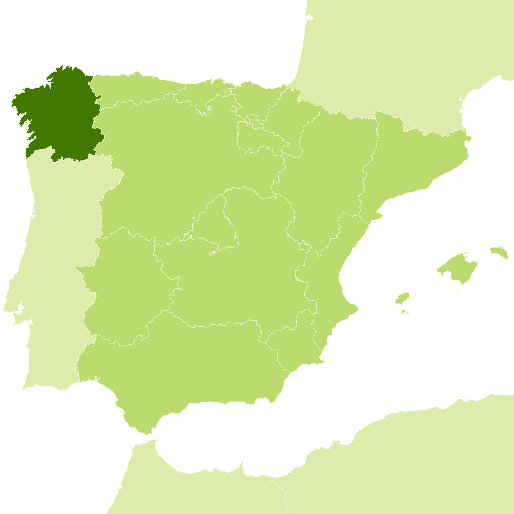
| Location: | Northwest Spain |
| Coordinates: | 42° 45′ N, 08° 00′ W |
| Size: | • 220 km N-S; 210 km E-W • 135 miles N-S; 130 miles E-W |
| Terrain: | Hilly landscape rising to mountain ranges in the east and south. Bold and deeply indented coastline |
| Climate: | A mild oceanic climate with plenty of rainfall and some winter snow at altitude. Warm summers inland and in the south |
| Highest point: | Trevinca 2,127 m / 6,978 ft |
| Forest: | 54% (2010 est.) (source) |
| Population: | 2,701,819 (2020) |
| Population density: | Low-to-Medium (91/km²) |
| Capital: | Santiago de Compostela |
| Languages: | Galician, Spanish |
| Human Development Index: | Very High (0.902) |
.jpg)
