.jpg)
The Geography of
Portugal
Why visit Portugal?
Few small countries contain so great a variety of scenery as Portugal. The heights of the Serra da Estrela and the ranges of the northern frontier are almost alpine in character, whereas the Algarve and parts of Alentejo in the south are sub-tropical. The landscapes of Portugal have no vast plains, no inland seas, no mountain as high as 2,000 meters (7,000 feet), but its flora is some of the richest in Europe, and it combines this with the brilliant sunshine. This wealth of colour gives the scenery of Portugal a quite distinctive character.
Map
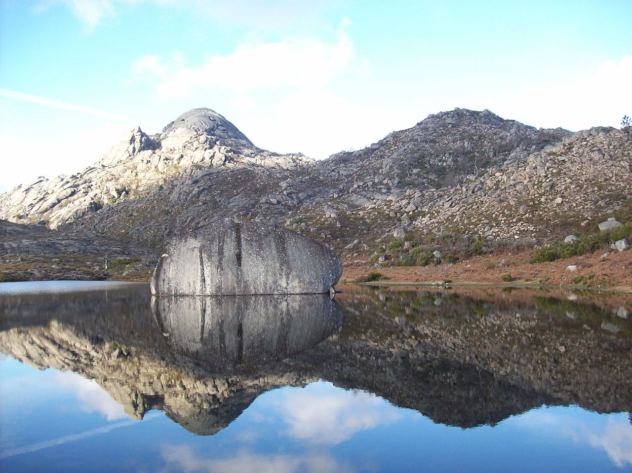
 Relief map of Portugal
What is the landscape of Portugal like?
It might appear at the first glance that Portugal ought to have the same scenery and landscape as Spain; but in fact the Atlantic climate sending rain on the westerly winds, makes Portugal very distinct from the dry plateau of Spain.
North
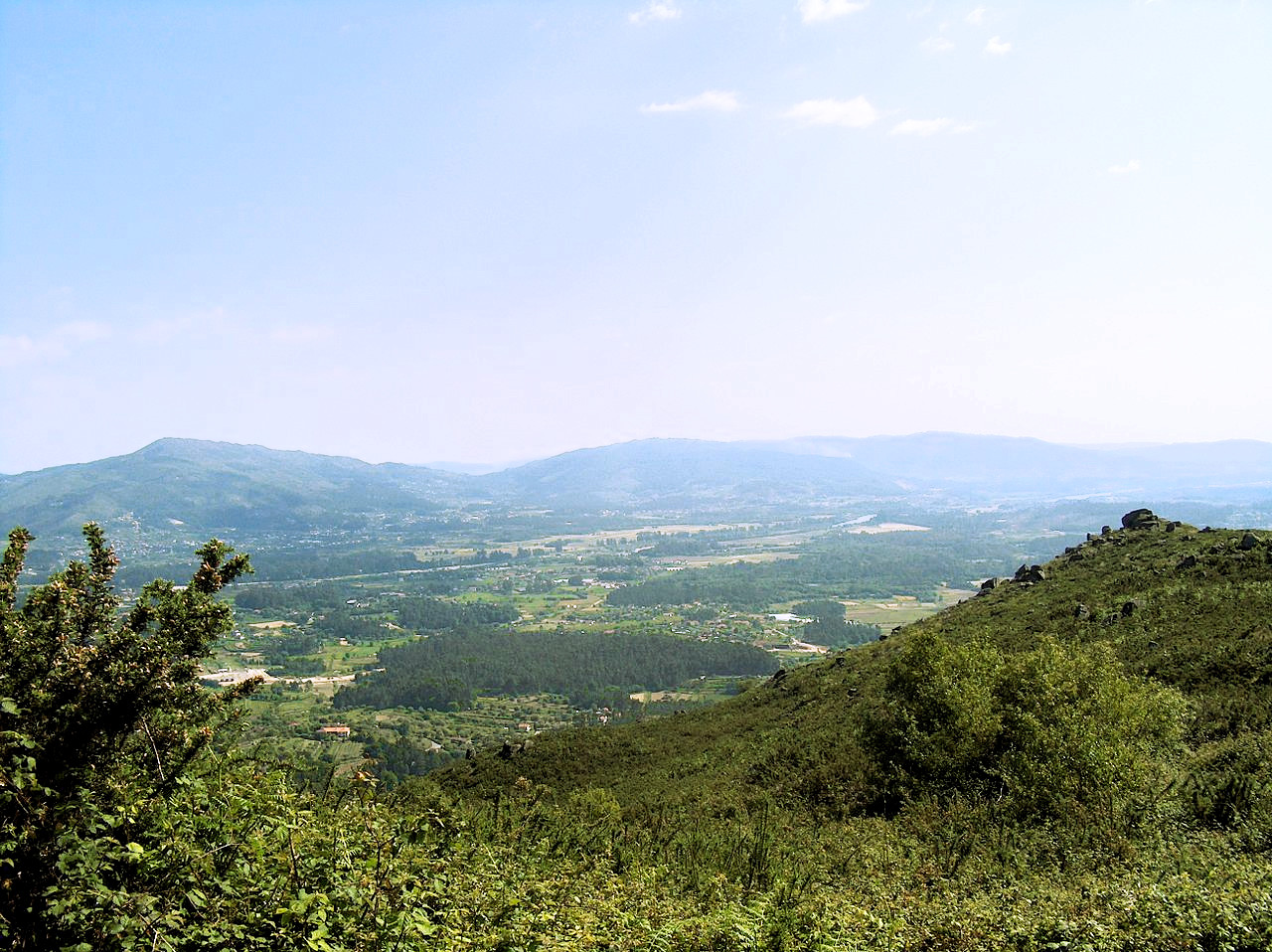
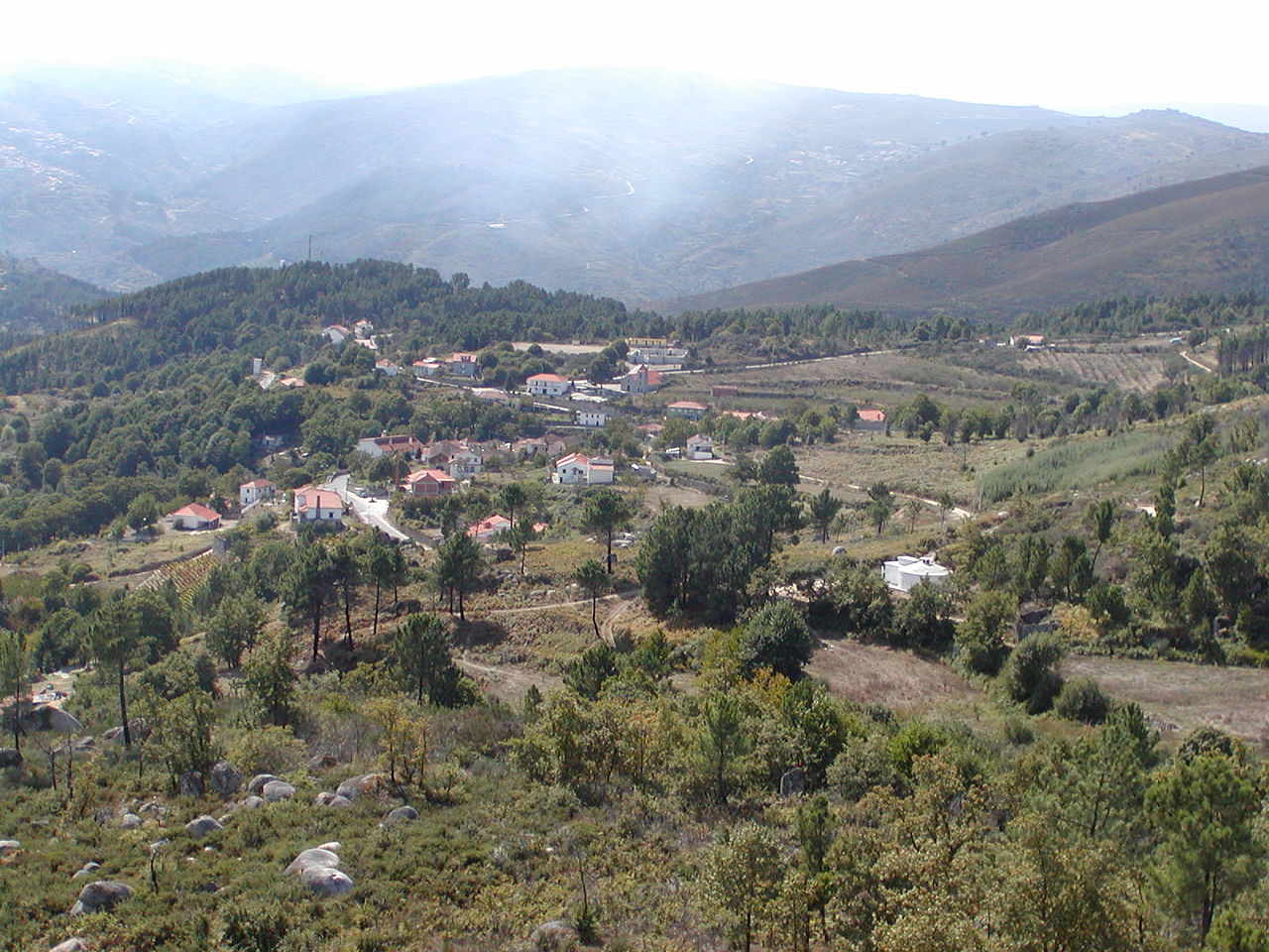
The north of Portugal is one of the most varied parts of the country. The coastal regions are densely settled, and the river valleys contain much farming, but away from the main population centers of Braga and Porto, the scenery becomes one of glens, rocks, water, and wooded hills. In addition to the stands of oak, chestnut, and pine, there are groves of orange, lemon, fig, peach, apricot, almond, and strawberry tree; not to say anything of the Japanese camellias, the vines, acacias, Judas-trees, tulip-trees, and magnolias of many kinds.
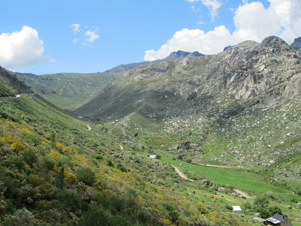
On the northern frontier of Portugal are the western branches of the Cantabrian Mountains of Spain. The highest peak here is the Pico da Nevosa, 1,546 meters (5,072 feet) in the Peneda-Gerês mountain system. These ranges, together with the summit of Larouco (1,535 meters, 5,036 feet) to the east, are part of a very twisted and gnarled range of mountains.
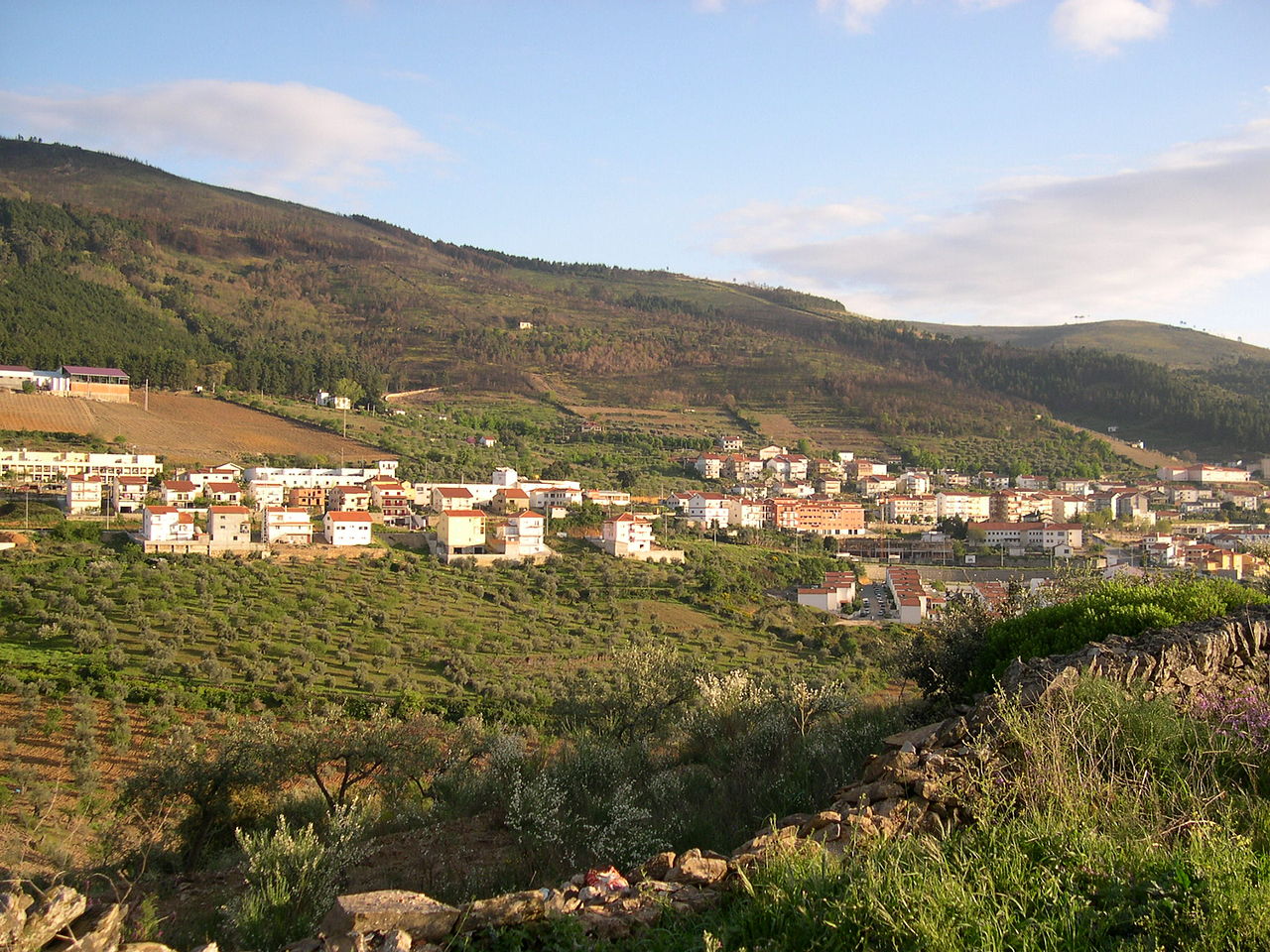
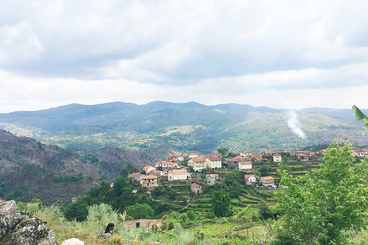
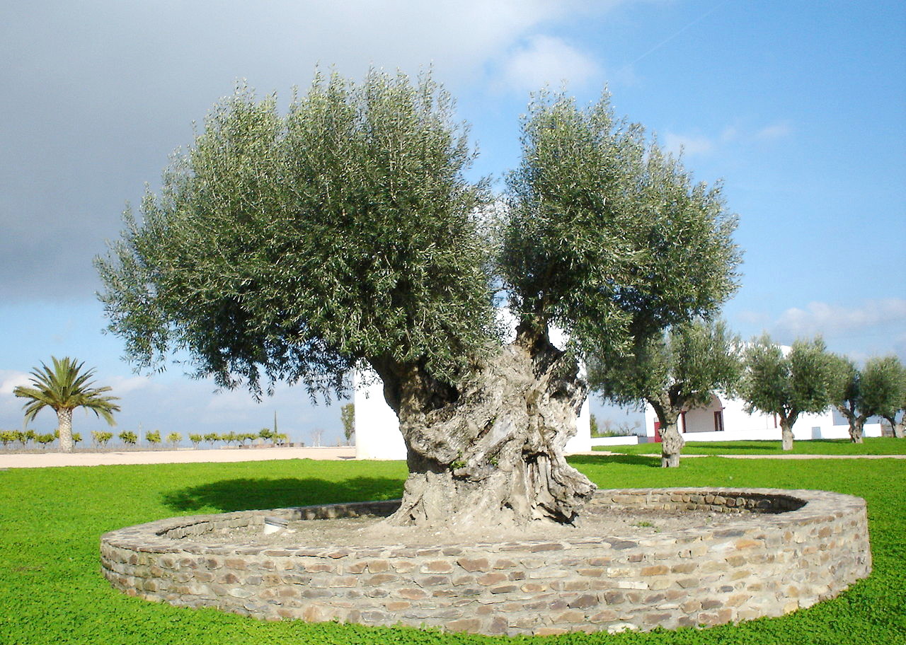
In the northeast of Portugal is the Trás-os-Montes ("beyond-the-hills") region, where cattle, sheep and goats browse the highlands, and there are groves of chestnut trees. It is the most rural and rugged part of Portugal, and much of the region is a succession of mountains and forests where wolves can be found and wild boars are not uncommon. The lowlands though are highly cultivated, and here there are many groves of olives.
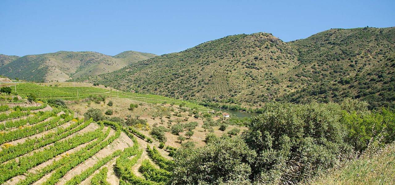
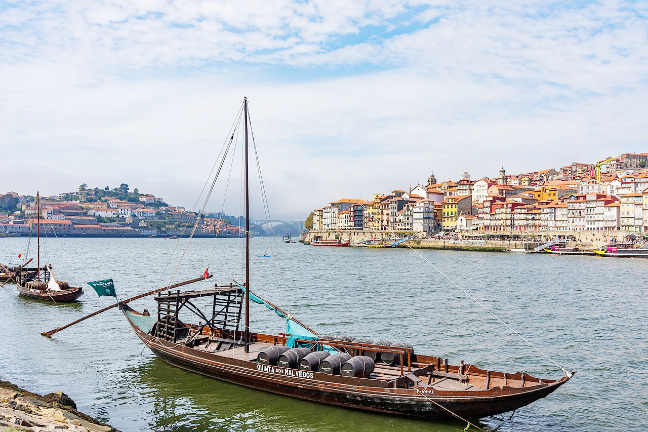
The chief vine-growing district, to the south and east of Vila Real, is the Alto Douro wine region which has been producing wine for over 2000 years, including the world-famous Port wine. The long tradition of wine-making has produced a unique cultural landscape, and the region is designated a UNESCO World Heritage Site.
South of the Douro lies the Serra de Montemuro mountains whose summit is a mountain called Talegre (or Talefe), at 1,381 meters (4,531 feet). The Montemuro mountains are a nature reserve well-known for its biodiversity. Forests of pine and oak predominate at the bottom of the slopes, whereas higher up there is heather, gorse, and broom. Many birds are found here—buzzard, scops owl, woodcock, nightingale, etc. Mammals include wild boar, the wolf, and the Granada hare.
Center
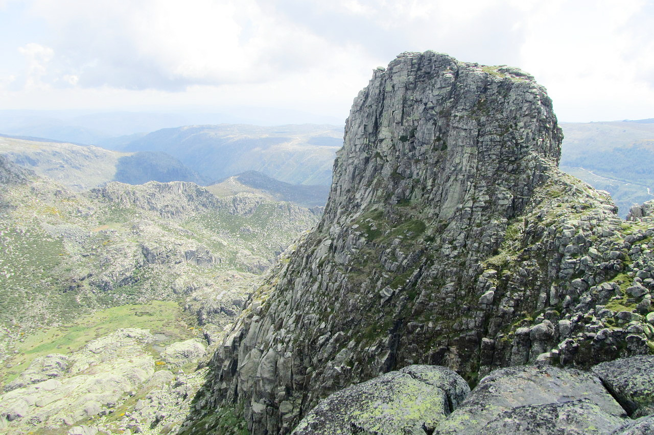
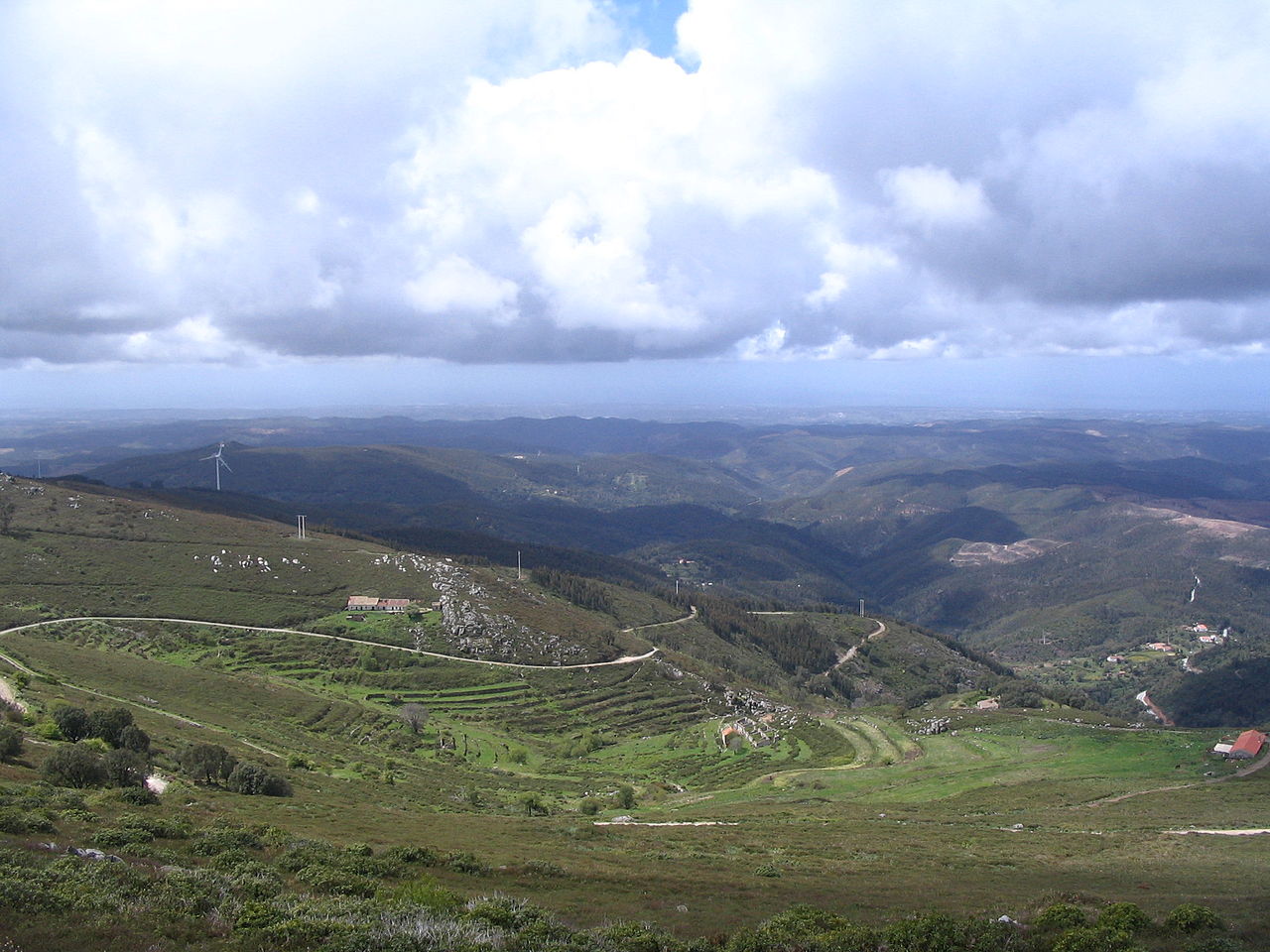
The center of Portugal is dominated by the magnificent Serra da Estrela ("Star Mountain") range. This is the highest summit in mainland Portugal, peaking at 1,993 m (6,539 ft) on a plateau known as Torre ("tower"). The range forms the last link in the chain of mountain ranges known as the Sistema Central, which extends across Spain and Portugal from east to west. The tops of the Serra da Estrela remain covered with snow during four months of the year, and the Torre has the unusual feature of being accessible by road, and is home to the only ski resort in Portugal. The Serra da Estrela is designated a Natural Park, and animals include the wolf, wild boar, the otter, the fox, the Iberian mountain lizard, the common genet, and wild rabbits.
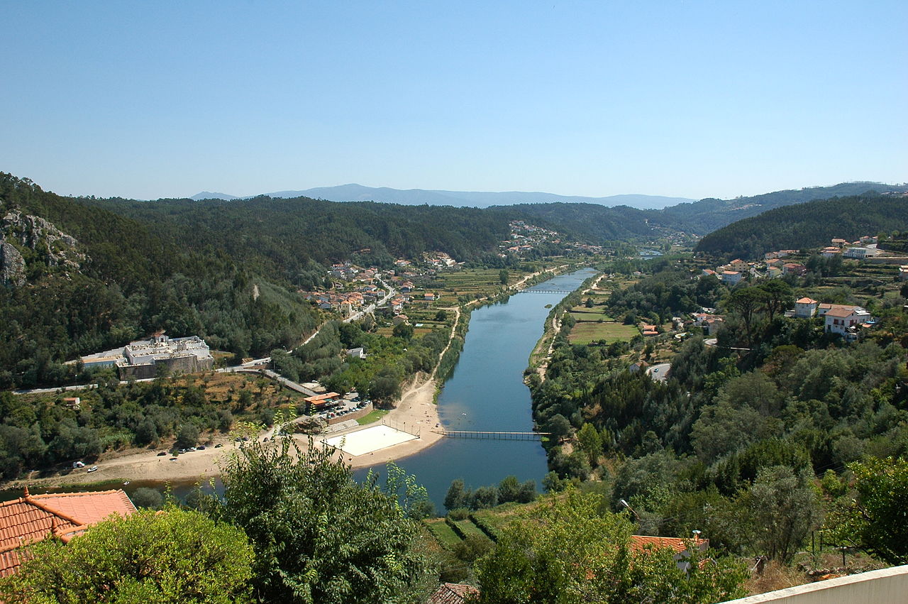
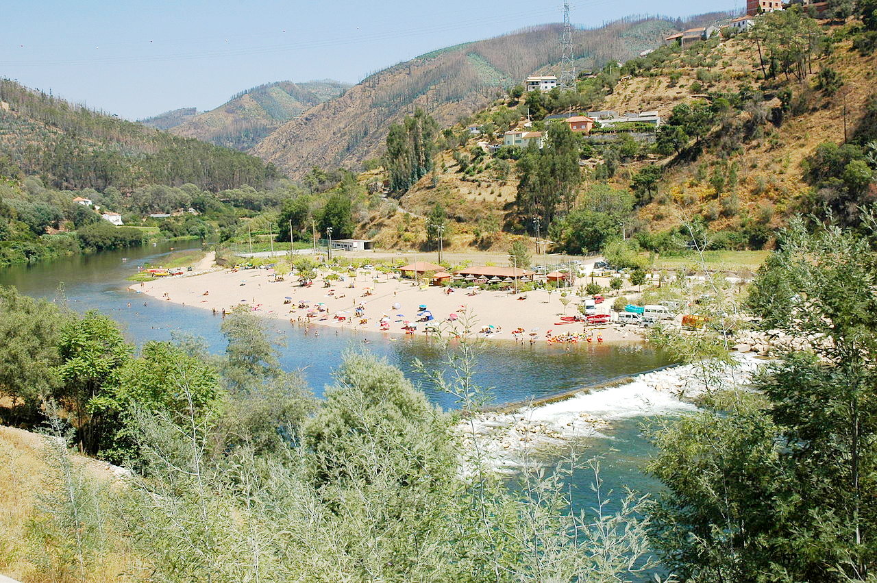
The Estrela mountains enclose the headwaters of the river Mondego in a deep ravine. The Mondego is the longest river which lies solely in Portugal (the other major rivers rise in Spain). The Mondego is possibly the most beautiful valley in Portugal, and certainly the one which the Portuguese celebrate most in songs and poems. In the Lower Mondego there are poplar, elm and willow forests, the most famous of which is undoubtedly the Choupal National Forest on the outskirts of the city of Coimbra. Here nestles the largest urban colony of black kites (Milvus migrans) in Europe, with about seventy nests. Further down the river towards the estuary there are white storks, flamingos, pied avocets, black-winged stilts, little terns, and white-throated dippers.
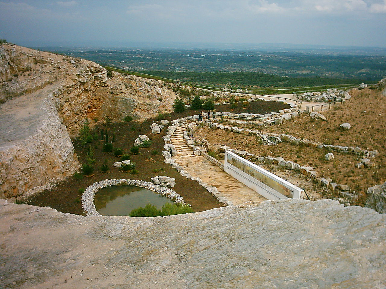
Of the lesser ranges, the Serra de Aire is known for its impressive network of underground caves, situated in the Natural Park of Serras de Aire and Candeeiros. Some of the caves have been coverted into show-caves for tourists, whilst others are accessible for dedicated cave explorers. The natural park also has more than six hundred plant species, including narcissus, rosemary, pepper, and holm oak, among many others. The natural park is also famous for the Serra de Aire Dinosaur Footprints—a vast collection array of Jurrasic-era dinosaur footprints, of which the huge sauropod footprints particularly stand out.
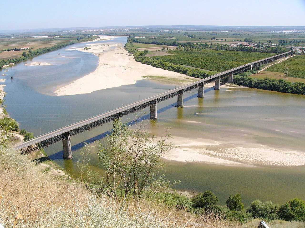
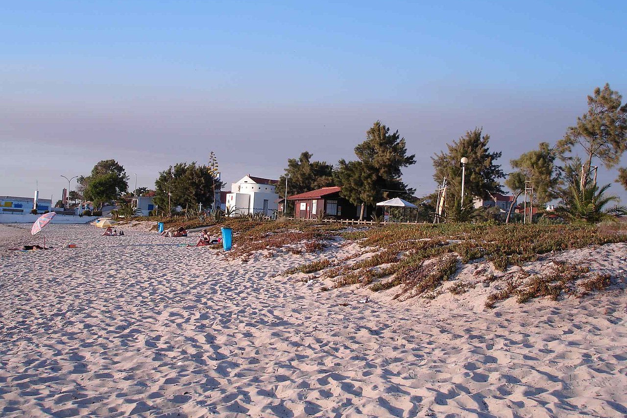
Flowing across the center of Portugal down to Lisbon is the river Tejo—the longest river in the Iberian Peninsula. The river separates Portugal into two portions as a sort of intermediary between the northern highlands and dry plains of the south. The Tejo enters Portugal in a steep valley, and flows along the border before its valley gradually widens. In its lower course it becomes a tranquil stream, abounding in islands and sandbanks. As it approaches Lisbon, the terrain is steep and hilly on its western bank with terraces of vines, olives and fruit trees, whilst the left bank is low. In Lisbon it becomes a vast estuary and nature reserve famed for the bird population which winters here. Over 200 species have been been recorded including the dunlin, collared pratincole, little bustard, and the black-tailed godwit.

The hills on the narrow peninsula to the northwest of Lisbon are of low height but steep and rugged. The beautiful heights of the Serra de Sintra are celebrated for their ancient palaces, shady valleys, and rich fauna, such as the common genet, the salamander, the peregrine falcon, the viper, and several species of scaly reptiles.
Alentejo
South of the river Tejo, we reach the vast Alentejo region of southern Portugal. This is a region of plains, rolling hills, woods, and grasslands. The mountains crossing central Portugal create something of a barrier to Atlantic rain clouds, and so southern Portugal is a dry region. This is the least densely populated part of Portugal, and villages are few and far between.
The coast is mostly flat and sandy, with extensive heaths and clumps of maritime pines and holm-oaks—the remains of the ancient forests which once covered the whole of the country. Farther inland we reach the great plains covered with an infinite variety of plants. There are heaths growing sometimes to head-height, rock-roses, juniper-trees, rosemary, and creeping oaks. In summer the land becomes almost African in its aspect, but in autumn white and yellow flowers dot the landscape.

The highest mountains of southern Portugal are the Serra de São Mamede on the border with Spain. Its ridges, enclosing narrow valleys between them, rise to a height of 1,025 meters (3,362 feet) above sea level. Here is the Serra de São Mamede Natural Park, where you can see vultures and eagles. Deer, wild boar and genets live among chestnut and cork oaks, while the rivers attract otters. The reserve also houses one of Europe's largest bat colonies.
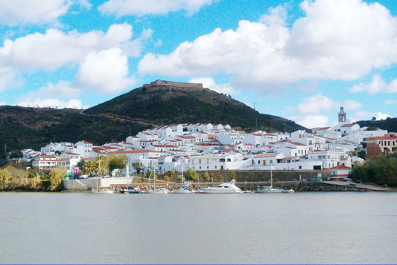
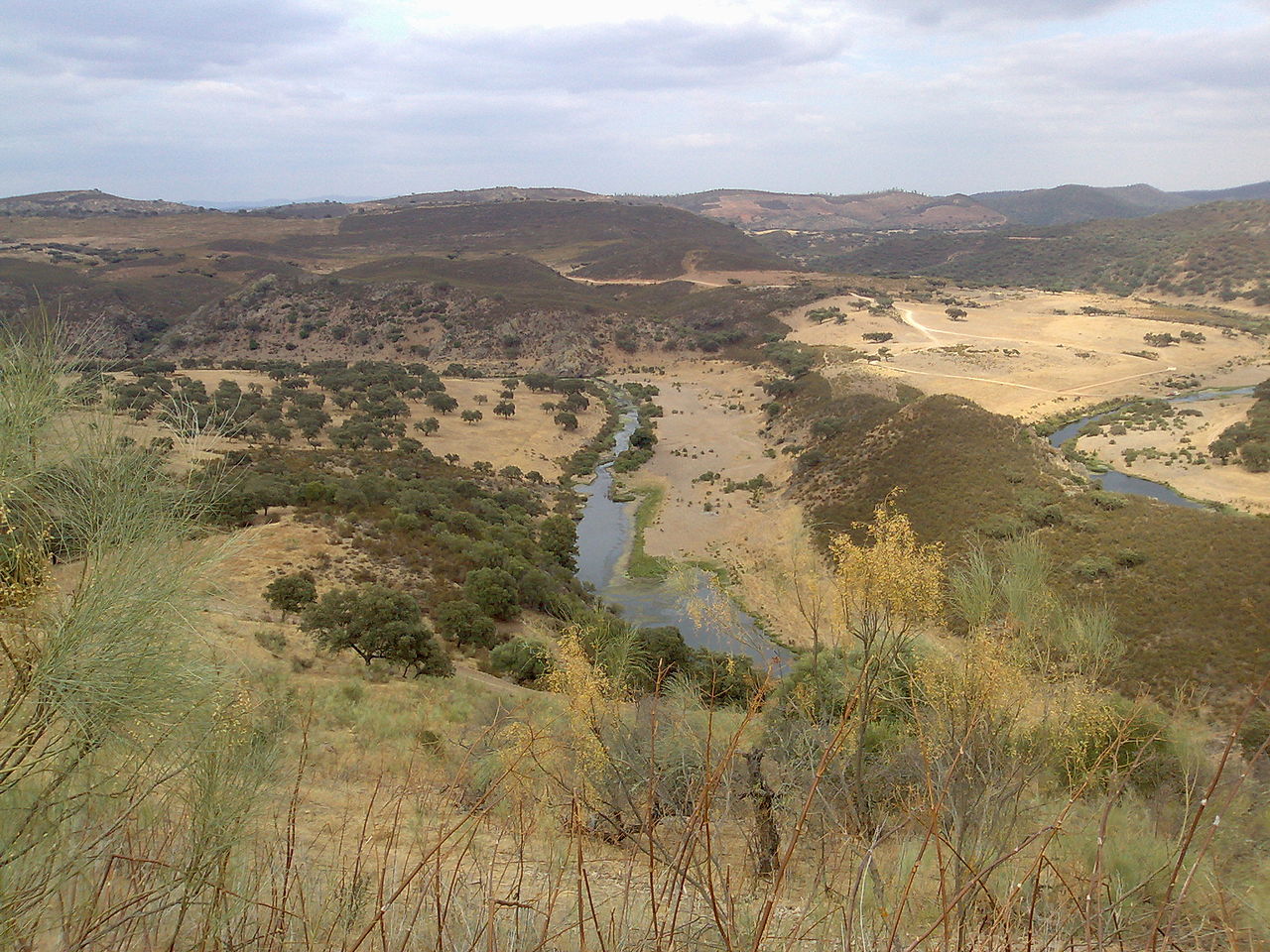
To the south the hills which enclose the river Guadiana are the western extension of the Sierra Morena of Spain. The river itself is confined in deep and narrow valleys. At the Pulo do Lobo ("Wolf's Leap") it descends in cataracts, becoming one of the most dramatic stretches of the Guadiana. Further south, the river broadens into a wide valley dotted with towns and villages.
Algarve
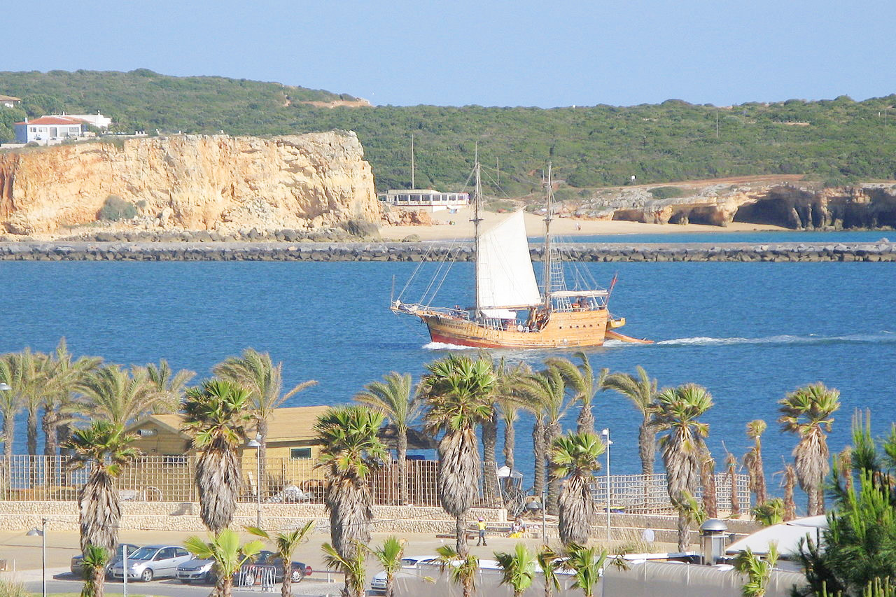
The Algarve region in the extreme south of Portugal presents a striking change from the area to the north of it. Whereas the Alentejo has vast lonely plains, the Algarve has forests of chestnut and olives, and numerous towns, villages, and resorts bordering the seashores. The Algarve is the most tropical part of Portugal with olive-trees, date-palms, agaves, and prickly cacti.
Two low mountain ranges mass together here—the Serra do Caldeirão in the east, and the Serra de Monchique in the west. The natural vegetation of the Caldeirão mountains are the oak trees, strawberry trees and dwarf palms, but human activity over the past century has caused much desertification in this area. The Serra de Monchique, on the other hand, has a wetter climate than the Caldeirão, and so still has a rich vegetation of oak and chestnut trees. The Serra de Monchique fills up the south-western corner of Portugal. Its highest point, Foia, at 902 meters (2,959 feet), is the highest in the Algarve and one of Portugal's most prominent points. A steep ridge, known as Espinhaco do Cao ("Dog's Back"), extends from here in the direction of the Cape of Sao Vincent—the southwest point of Europe.
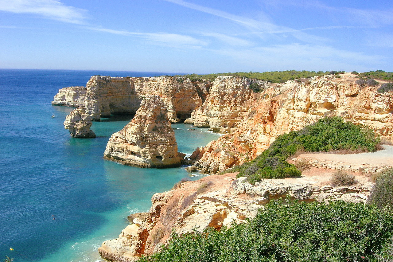
On the south coast is the Ponta de Piedade, a natural rock formation of golden cliff-like rocks. Various caves and grottos here can be visited by boat.
What is the nature of Portugal like?
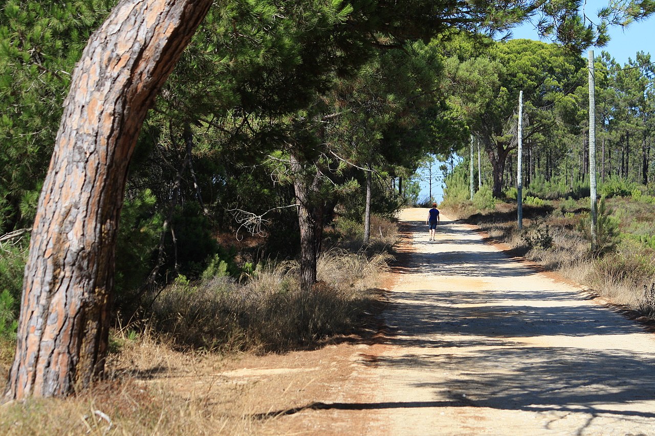
Portugal has a rich variety of plants due to the moisture laden winds from the Atlantic. Over much of Portugal, except for the far south, the plants of northern Europe flourish side by side with cacti, palms, aloes and tree-ferns. Around one third of Portugal is covered in trees, although mostly in managed plantations. The mountains of the north are clad with forests, chiefly pine and oak, in which both the common oak (Querus robur) and the cork-oak (Quercus suber) are conspicuous. The coastline has long stretches of sandy pine forest, with heath or marshland bordered by a wide and fertile plain where olives and fruit trees are grown. Eucalyptus trees are the most common introduced tree species.
.jpg&oldid=384553249)
.jpg&oldid=611623590)
.jpg)
.jpg)
In the south the date-palm is more common, and the dwarf palm grows in the open air along the coast. Camelias, agaves, and cacti grow in the hedgerows. The south of the country has extensive forests of cork oak and holm oak (Quercus ilex), and pines and chestnuts are still common. The more fertile regions have extensive groves of grapes, figs, and citrus fruits.
What is the climate of Portugal like?
See our main article: The Climate of Portugal
The climate of Portugal is warm and temperate. The west coast, being exposed to the Atlantic, is refreshed by summer breezes. Winter here is both short and mild, and by early February the plants are already in full growth. Inland, across Alentejo and the Algarve, summers are hot and dry, and the countryside, especially across Alentejo, has a more desert appearance. In the mountains, winter can be harsh, and on the summits snow lies for many months. In some deep valleys where the mountains keep off the cool winds, it can be very hot in summer.
Rainfall is low in the summer months, and droughts will give the land a very parched appearance, even along the coast. Storms do occur, especially when the weather breaks at the end of summer, and there can be flash floods. However, the autumn rains will often create a second spring, and the parched fields will become covered with flowers and greenery once again.
| Climate data for Lisbon | |||||||||||||
|---|---|---|---|---|---|---|---|---|---|---|---|---|---|
| Month | Jan | Feb | Mar | Apr | May | Jun | Jul | Aug | Sep | Oct | Nov | Dec | Year |
| Average high °C (°F) | 14.8 (58.6) | 16.2 (61.2) | 18.8 (65.8) | 19.8 (67.6) | 22.1 (71.8) | 25.7 (78.3) | 27.9 (82.2) | 28.3 (82.9) | 26.5 (79.7) | 22.5 (72.5) | 18.2 (64.8) | 15.3 (59.5) | 21.3 (70.4) |
| Daily mean °C (°F) | 11.6 (52.9) | 12.7 (54.9) | 14.9 (58.8) | 15.9 (60.6) | 18.0 (64.4) | 21.2 (70.2) | 23.1 (73.6) | 23.5 (74.3) | 22.1 (71.8) | 18.8 (65.8) | 15.0 (59.0) | 12.4 (54.3) | 17.4 (63.4) |
| Average low °C (°F) | 8.3 (46.9) | 9.1 (48.4) | 11.0 (51.8) | 11.9 (53.4) | 13.9 (57.0) | 16.6 (61.9) | 18.2 (64.8) | 18.6 (65.5) | 17.6 (63.7) | 15.1 (59.2) | 11.8 (53.2) | 9.4 (48.9) | 13.5 (56.2) |
| Average rainfall mm (inches) | 99.9 (3.93) | 84.9 (3.34) | 53.2 (2.09) | 68.1 (2.68) | 53.6 (2.11) | 15.9 (0.63) | 4.2 (0.17) | 6.2 (0.24) | 32.9 (1.30) | 100.8 (3.97) | 127.6 (5.02) | 126.7 (4.99) | 774 (30.47) |
| Source: Instituto de Meteorologia | |||||||||||||
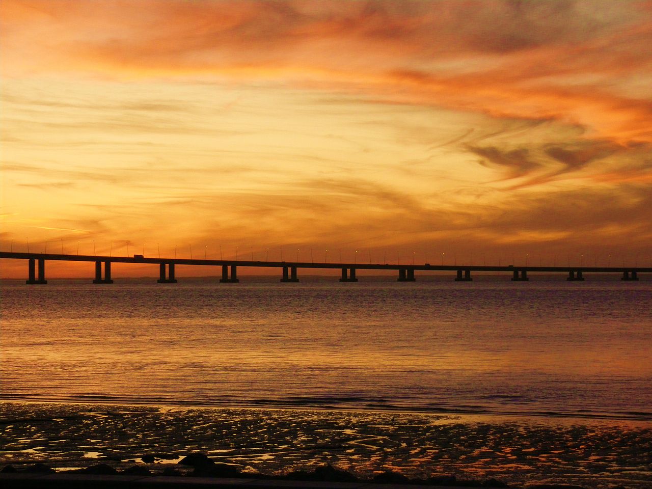 Sunset on the Vasco de Gama bridge, Lisbon
The official websites
Portugal
Europe's West Coast
| Location: | Southwestern Europe, bordering the North Atlantic Ocean, west of Spain |
| Coordinates: | 39° 30′ N, 8° 00′ W |
| Size: | • 560 km N-S; 220 km E-W • 350 miles N-S; 135 miles E-W |
| Terrain: | The north is mountainous toward the interior, while the south is characterized by rolling plains |
| Climate: | Maritime temperate; warm and rainy in north, hotter and drier in south |
| Highest point: | Torre (Serra da Estrela) 1,993 m / 6,539 ft) |
| Forest: | 37.8% (2011 est.) |
| Population: | 10,302,674 (July 2020 est.) |
| Population density: | Medium (115/km²) |
| Capital: | Lisbon |
| Languages: | Portuguese (official), Mirandese (northeastern Portugal) |
| Human Development Index: | Very high (0.864) |
| Currency: | Euro |