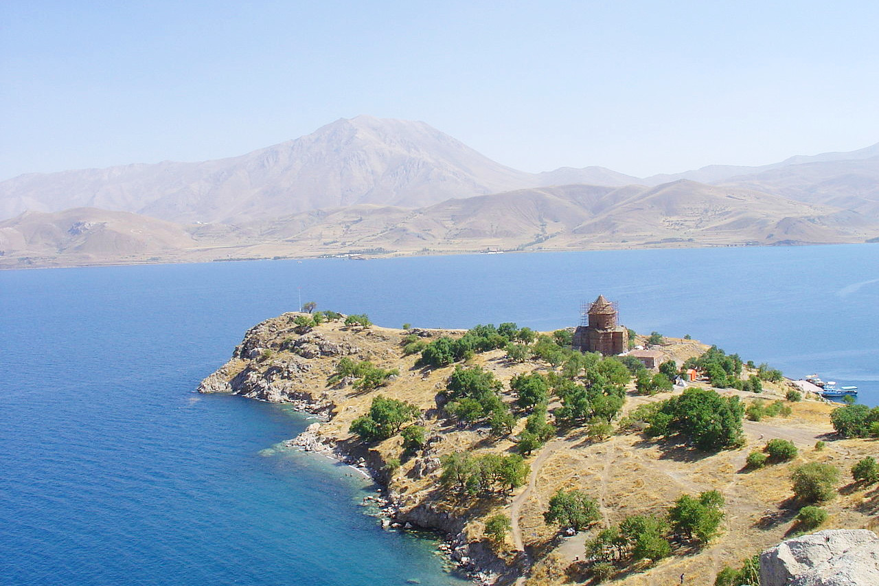
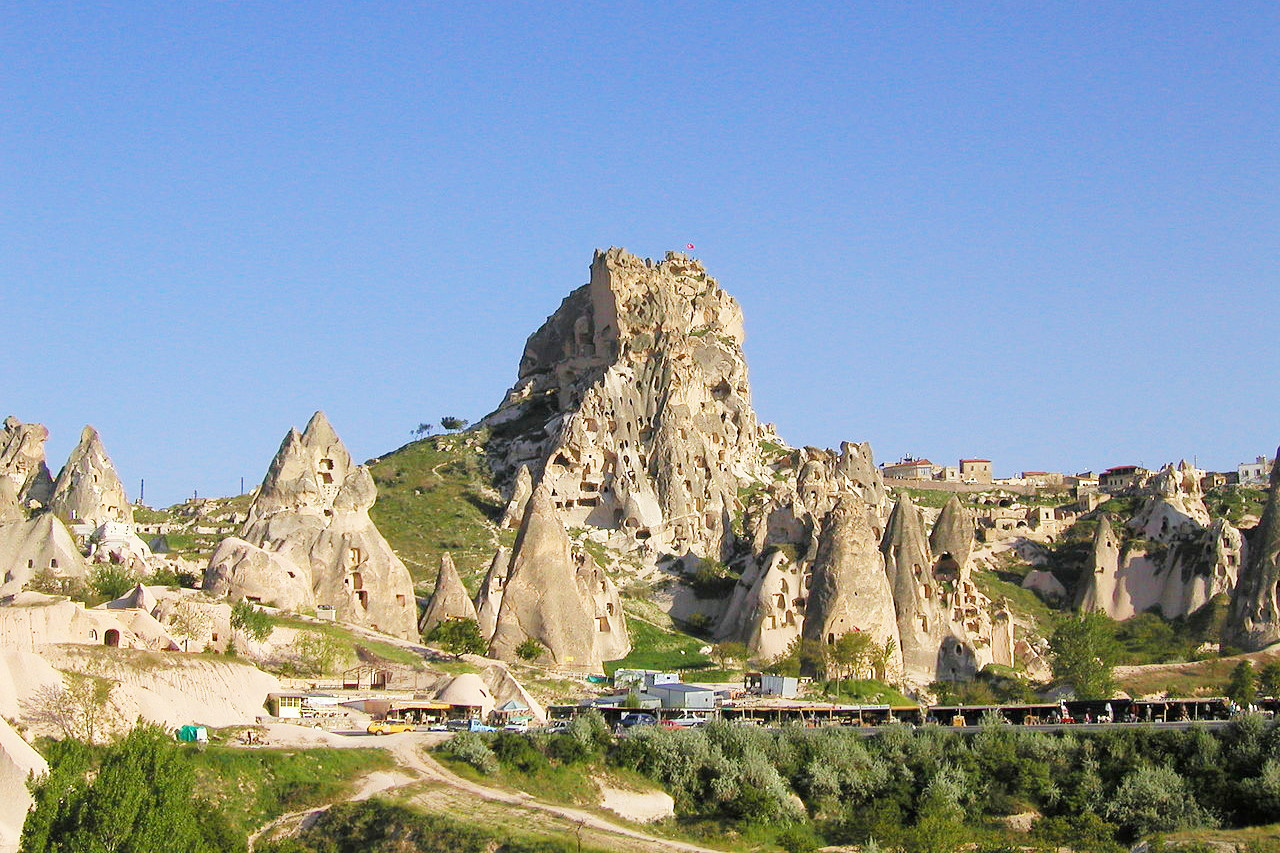
 Fairy Chimneys, Cappadocia region, Turkey
The Geography of
Turkey
Why visit Turkey?
Turkey (Türkiye) is a large, roughly rectangular peninsula situated bridge-like between Europe and Asia. Turkey is full of ancient sites and has a truly magnificent history. Traditions are still alive and strong here. More than 80 percent of the land surface is mountainous providing unique beauty, and making Turkey an unforgettable experience.
Contents
Map
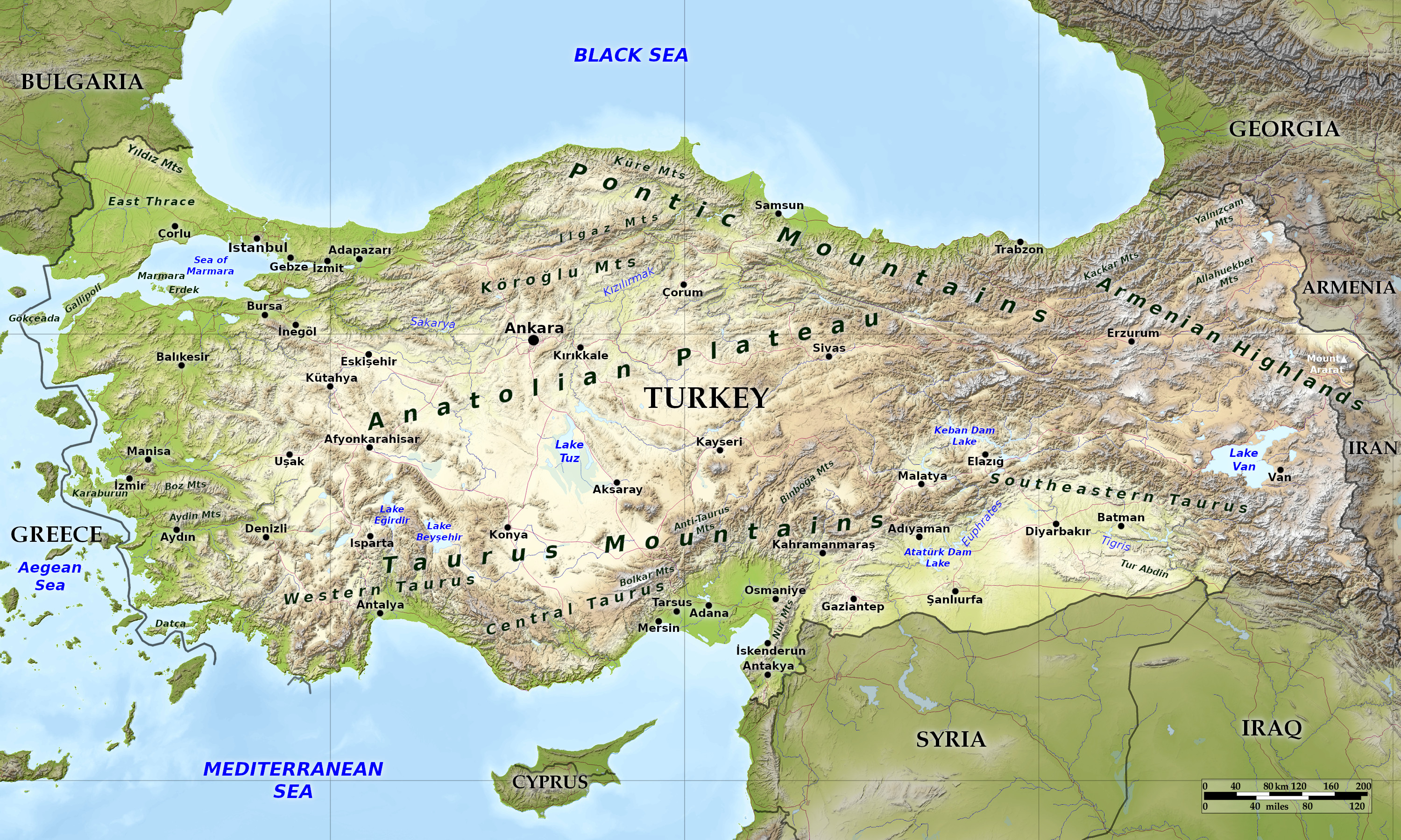 Relief map of Turkey
What is the landscape of Turkey like?
The periphery of Turkey can be divided into the Black Sea region, the Aegean region, and the Mediterranean region. The interior is also divided into four regions: the Pontus and Taurus mountain ranges, the Anatolian Plateau, and the eastern highlands. An eighth region of the country is the Arabian Platform in the southeast, adjacent to the Syrian border.
Black Sea Region
The Black Sea region has a steep, rocky coast with rivers that cascade through the gorges of the coastal ranges. A few larger rivers, those cutting back through the Pontus Mountains (Kuzey Anadolu Dağları), have tributaries that flow in broad, elevated basins. Access inland from the coast is limited to a few narrow valleys because mountain ridges, with heights of 1,525 to 1,800 meters (5,000 to 6,000 feet) in the west and 3,000 to 4,000 meters (10,000 to 13,000 feet) in the east, form an almost unbroken wall separating the coast from the interior. The higher slopes facing northwest tend to be densely forested. Because of these natural conditions, the Black Sea coast historically has been isolated from Anatolia.
Running from Zonguldak in the west to Rize in the east, the narrow coastal strip widens at several places into fertile, intensely cultivated deltas. The climate is relatively mild and humid. In the east are numerous citrus groves. The area around Trabzon is world-renowned for the production of hazelnuts, and farther east the Rize region has numerous tea plantations.
Aegean Region
The European portion of Turkey, known as Thrace (Trakya), encompasses 3 percent of the total area but is home to more than 10 percent of the total population. It consists mainly of rolling plateau country. Densely populated, this area includes the cities of Istanbul and Edirne.
The Bosporus strait, which links the Sea of Marmara and the Black Sea, is about 25 kilometers (15 miles) long and averages 1.5 kilometers (1 mile) in width but narrows in places to less than 500 meters (1,600 feet). Both its Asian and European banks rise steeply from the water and form a succession of cliffs, coves, and nearly landlocked bays. Most of the shores are densely wooded and are marked by numerous small towns and villages. The Dardanelles Strait, which links the Sea of Marmara and the Aegean Sea, is approximately 40 kilometers (25 miles) long and increases in width toward the south. In comparison to the Bosporus, the Dardanelles has few settlements along its shores.
On the Asian side, this region has fertile soils and a typically Mediterranean climate with mild, wet winters and hot, dry summers. The broad, cultivated valley lowlands contain about half of the country's richest farmland. Major crops are olives, citrus, and nuts (especially almonds). The most important valleys are the Kocaeli Valley, the Bursa Ovasi (Bursa Basin), and the Plains of Troy. The valley lowlands are densely populated, particularly around Bursa and İzmir, the country's third largest city.
Mediterranean Region
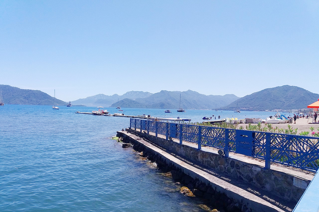
The narrow coastal plains of the Mediterranean region, separated from Anatolia by the Taurus Mountains, are cultivated intensively. Fertile soils and a warm climate make the Mediterranean coast ideal for growing citrus fruits, grapes, and, in irrigated areas, rice and cotton. In general, summers are hot and dry in the Mediterranean region. The weather in combination with the region's numerous sandy beaches brings many tourists.
Toward the east, the extensive plains around Adana, Turkey's fourth largest city, consist largely of reclaimed flood lands. In general, rivers have not cut valleys to the sea in the western part of the region. Historically, movement inland from the western Mediterranean coast was difficult. East of Adana, much of the coastal plain has limestone features such as collapsed caverns and sinkholes. Between Adana and Antalya, the Taurus Mountains rise sharply from the coast to high elevations. Other than Adana, Antalya, and Mersin, the Mediterranean coast has few major cities, although it has many villages.
Pontus Mountains
The Pontus Mountains (also called the North Anatolian Mountains) in the north are an interrupted chain of folded highlands that generally parallel the Black Sea coast. In the west, the mountains tend to be low, with elevations rarely exceeding 1,500 meters (5,000 feet), but they rise in an easterly direction to heights greater than 3,000 meters (10,000 feet) in the east. Lengthy, troughlike valleys and basins characterize the mountains. Many rivers flow from the interior highlands to the coast. Northern mountain slopes are forested and are visually more attractive. They receive greater amounts of rain because of prevailing winds and their proximity to the Black Sea. The southern slopes—facing the Anatolian Plateau—are typically unwooded.
Taurus Mountains
On the southern side of the Anatolian Peninsula, the Taurus (Toros Dağları) is Turkey's second chain of folded mountains. The range rises just inland from the coast, creating spectacular scenery in many locations. The mountains trend generally in an easterly direction until it reaches the Arabian Platform, where it arcs around to the north. The highest peaks reach nearly 3,000 meters (10,000 feet). The Taurus Mountains are more rugged and less dissected by rivers than the Pontus Mountains and historically have served as a barrier to human movement inland from the Mediterranean coast except where there are mountain passes such as the Cilician Gates (Gulek Bogazi), northwest of Adana. East of Adana, the Taurus is known as the Anti-Taurus, and the range continues eastward into Iran, where it forms the Zagros Mountains.
Anatolian Plateau
Most of Turkey is dominated by the relatively rugged terrain of Inner Anatolia—the Anatolian Plateau. Here, population densities are generally low and rural settlements dominate the landscape. These semi-arid highlands are considered the heartland of the country. The region varies in elevation from 600 to 1,200 meters from west to east. The two largest basins on the plateau are the Konya Ovasi and the basin occupied by the large salt lake, Tuz Gölü. Wooded areas are confined to the northwest and northeast of the plateau. This part of Turkey has long been home to pastoral nomads.
The Pontus Mountains often blocks air masses from the north, making the plateau much drier than the coasts. Actual rainfall from year to year is irregular leading to frequent droughts. During the summers, dust storms blow a fine yellow powder across the plateau. In general, the plateau experiences extreme heat, with almost no rainfall in summer and cold weather with heavy snow in winter.
Eastern Highlands
Eastern Anatolia, where the Pontus and Taurus mountain ranges converge, is rugged country with higher elevations, a more severe climate, and greater rainfall than are found on the Anatolian Plateau. The region is known as the Anti-Taurus, and the average height of its peaks exceeds 3,000 meters. Mount Ararat, at 5,137 meters (16,854 feet) the highest point in Turkey, is located in the Anti-Taurus. Many of the Anti-Taurus peaks apparently are recently extinct volcanoes, to judge from extensive lava flows. Turkey's largest lake, Lake Van, is situated in the mountains at an elevation of 1,640 meters (5,380 feet). The headwaters of three major rivers arise in the Anti-Taurus: the east-flowing Aras, which empties into the Caspian Sea; the south-flowing Euphrates; and the south-flowing Tigris, which eventually joins the Euphrates in Iraq before emptying into the Persian Gulf.
Most of eastern Anatolia comprises the area known historically as Kurdistan. In addition to its rugged mountains, the area is known for severe winters with heavy snowfalls. The few valleys and plains in these mountains tend to be fertile and to support diverse agriculture. The main basin is the Mus Valley, west of Lake Van. Narrow valleys also lie at the foot of the lofty peaks along river corridors.
Arabian Platform
The Arabian Platform is in southeast Anatolia south of the Anti-Taurus Mountains. It is a region of rolling hills and a broad plateau surface that extends into Syria. The altitude decrease gradually, from about 800 meters (2,600 feet) in the north to about 500 meters (1,600 feet) in the south. Traditionally, wheat and barley are the main crops of the region.
What is the nature of Turkey like?
Generally speaking, most of Turkey’s natural environment suffers from inadequate rainfall. Vegetation, therefore, is well adapted to conditions of scarce moisture. Short grassland, brush, bushes, and wild flowers dominate the flora.
In coastal regions, the vegetation is similar to that of southern coastal Spain or California: short grasses, small bushes, and scattered trees. Because of centuries of cutting, stands of woodland are few and small. An exception is on the northern slopes of the Pontus Mountains, the wettest area of Turkey—here can be found large expanses of woodland.
Turkey is blessed with a geographic location that has long served as a corridor for the migration of birds and animals that have contributed to the country’s diversity of wildlife. The country has many national and natural parks, as well as other preserved areas. With more than 80,000 different animal species, the country has an abundance of fauna.
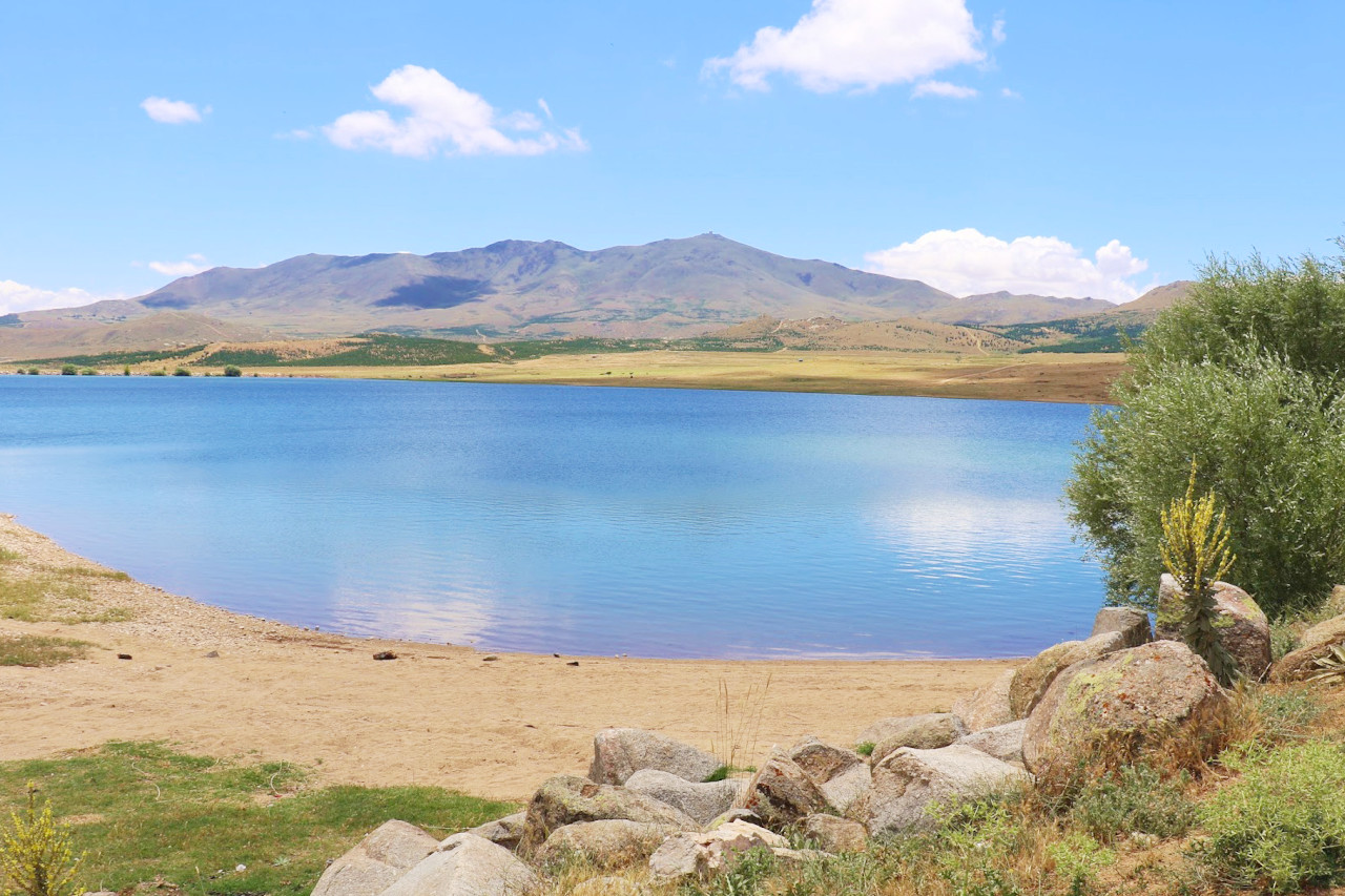
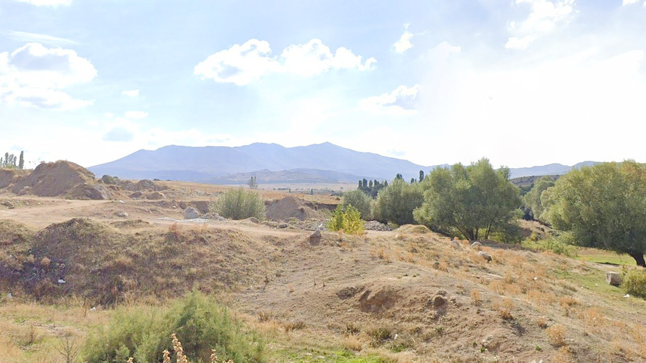 Landscape of Ekecik Dağı
What is the climate of Turkey like?
See our main article: The Climate of Turkey
Turkey's Aegean and Mediterranean coastal regions enjoy a Mediterranean climate. This climate, judged by many to be the world’s most pleasant, offers long, warm summers and short, mild winters.
In general, Anatolia experiences hot and dry summers and cool to cold winters, and it is always lacking in rainfall. It is not unusual for temperatures to exceed 38°C (100°F). Winters, on the other hand, are mostly cold and dry and can bring severe conditions. In Eastern Anatolia, where elevations are higher, there is more precipitation (the majority of it in the form of snow), which increases with elevation. Here, it is not unusual for snow cover to last as long as three months.
| Climate data for Ankara (1991–2020) | |||||||||||||
|---|---|---|---|---|---|---|---|---|---|---|---|---|---|
| Month | Jan | Feb | Mar | Apr | May | Jun | Jul | Aug | Sep | Oct | Nov | Dec | Year |
| Average high °C (°F) | 4.7 (40.5) | 7.4 (45.3) | 12.2 (54.0) | 17.5 (63.5) | 22.8 (73.0) | 27.3 (81.1) | 31.0 (87.8) | 31.0 (87.8) | 26.5 (79.7) | 20.3 (68.5) | 13.0 (55.4) | 6.7 (44.1) | 18.4 (65.1) |
| Daily mean °C (°F) | 0.9 (33.6) | 2.7 (36.9) | 6.7 (44.1) | 11.5 (52.7) | 16.5 (61.7) | 20.6 (69.1) | 24.2 (75.6) | 24.3 (75.7) | 19.6 (67.3) | 13.9 (57.0) | 7.3 (45.1) | 2.8 (37.0) | 12.59 (54.66) |
| Average low °C (°F) | −2.2 (28.0) | −1.2 (29.8) | 1.9 (35.4) | 6.0 (42.8) | 10.5 (50.9) | 14.1 (57.4) | 17.2 (63.0) | 17.4 (63.3) | 13.1 (55.6) | 8.4 (47.1) | 2.7 (36.9) | −0.3 (31.5) | 7.3 (45.1) |
| Average precipitation mm (inches) | 38.6 (1.52) | 36.6 (1.44) | 46.9 (1.85) | 44.5 (1.75) | 51.0 (2.01) | 40.2 (1.58) | 14.8 (0.58) | 14.6 (0.57) | 17.9 (0.70) | 33.4 (1.31) | 31.9 (1.26) | 43.2 (1.70) | 413.6 (16.28) |
| Source: Meteoroloji Genel Müdürlüğü | |||||||||||||
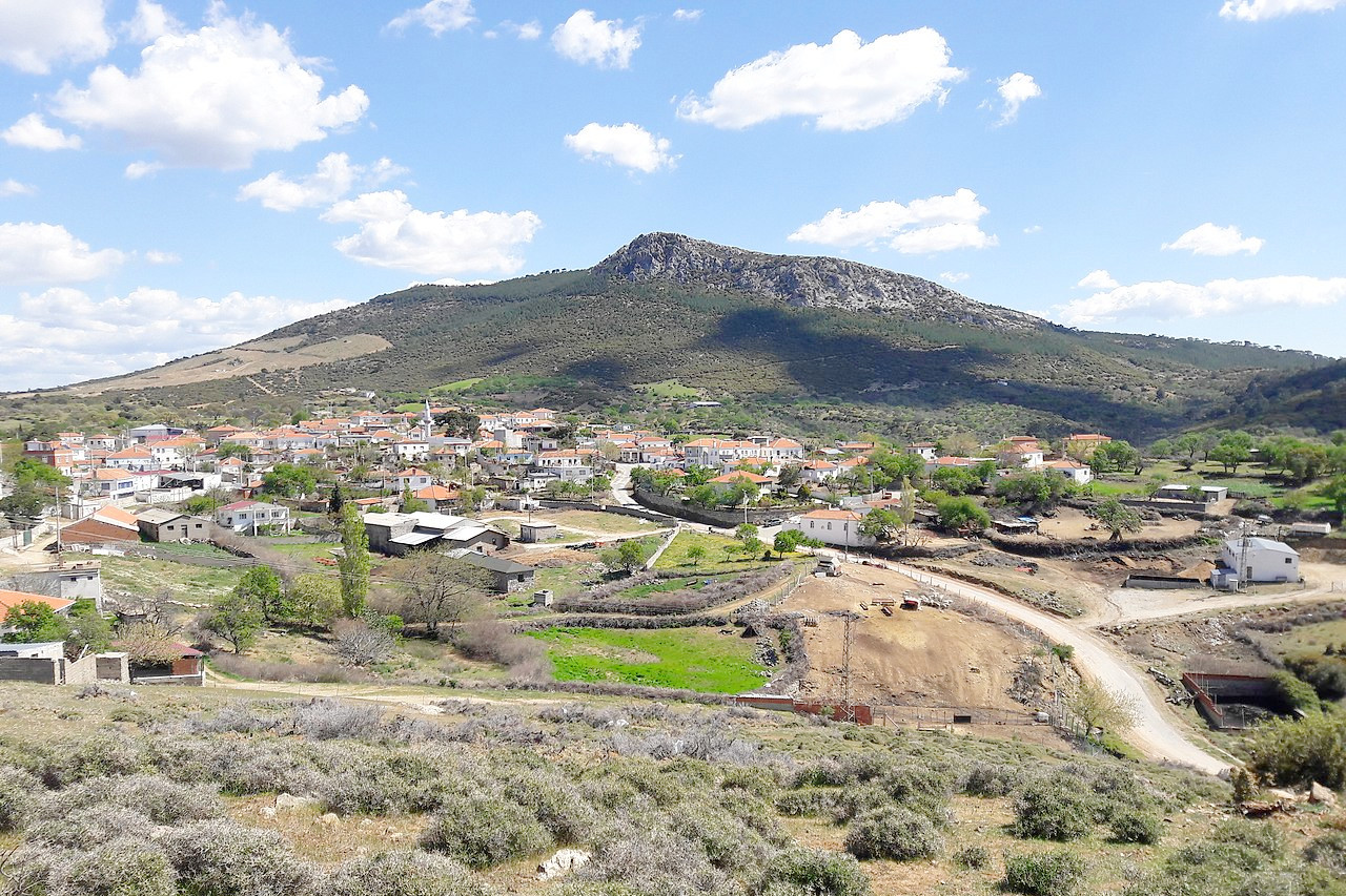 Tavaklı village, Ezine
The official websites
Turkey
The Coast of Happiness
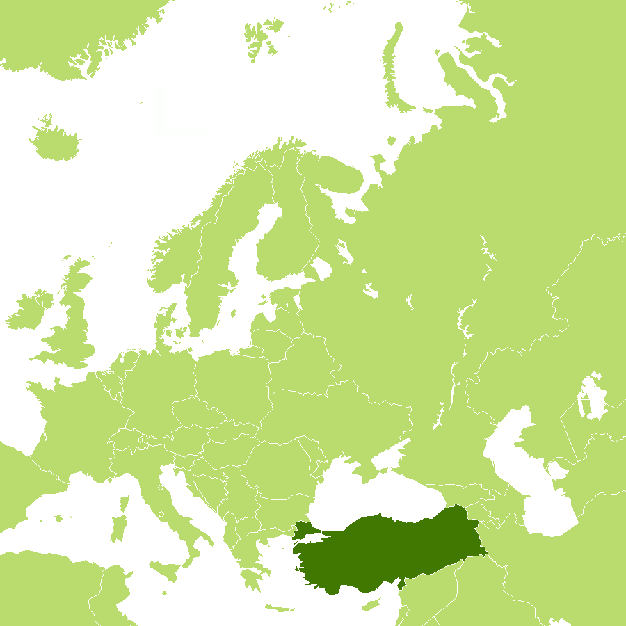
| Location: | Southeastern Europe and Southwestern Asia, bordering the Black Sea, the Aegean Sea, and the Mediterranean Sea |
| Coordinates: | 39° 00′ N, 35° 00′ E |
| Size: | • 700 km N-S; 1660 km E-W • 435 miles N-S; 1030 miles E-W |
| Terrain: | High central plateau (Anatolia); narrow coastal plain; several mountain ranges |
| Climate: | Hot, dry summers with mild, wet winters; harsher in the interior |
| Highest point: | Mount Ararat 5,137 m / 16,854 ft |
| Forest: | 15% (2018 est.) |
| Population: | 83,593,483 (2023 est.) |
| Population density: | Medium (111/km²) |
| Capital: | Ankara |
| Languages: | Turkish (official), Kurdish, other minority languages |
| Human Development Index: | Very high (0.838) |
