The Geography of
Armenia
Why visit Armenia?
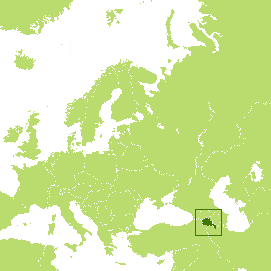
Armenia is a country of beautiful scenery and ancient history. The country offers a contrast of ancient monasteries, UNESCO World Heritage sites, and the ruins of unique temples. Armenia is located in southern Transcaucasia, the region southwest of Russia between the Black Sea and the Caspian Sea. Modern Armenia occupies part of historical Armenia, whose ancient centers were in the valley of the Aras River and the region around Lake Van in Turkey.
Contents
Map
 Relief map of Armenia
What is the landscape of Armenia like?
About half of Armenia's area has an elevation of at least 2,000 meters (6,500 feet), and only 3 percent of the country lies below 650 meters (2,000 feet). The lowest points are in the valleys of the Aras River in the west, and the Debet River in the far north, where the altitude is around 400 meters (1,300 feet). Altitudes in the Lesser Caucasus vary between 2,640 and 3,280 meters (8,650 to 10,750 feet).
To the south of the Lesser Caucasus is the Armenian Plateau. The plateau is masked by intermediate mountain ranges and extinct volcanoes. The largest of these, Mount Aragats, 4,090 meters (13,420 feet) high, is also the highest point in Armenia. Most of the population lives in the western and northwestern parts of the country, where the two major cities, Yerevan and Gyumri are located.
Lake Sevan, 375 kilometers (300 miles) long, is by far the largest lake—and one of the largest high-elevation lakes in the world. It lies 2,070 meters (6,200 feet) above sea level on the plateau. Armenia's terrain is most rugged in the extreme southeast, and most moderate in the Aras River valley to the west. Most of Armenia is drained by the river Aras or its tributary, the Razdan, which flows from Lake Sevan.
What is the nature of Armenia like?
Armenia is a mountainous country where lovely landscapes can be seen. The country has low grassy plateaus, little forest land, and fast flowing rivers.
What is the climate of Armenia like?
See our main article: The Climate of Armenia
Armenia’s climate ranges from subtropical to alpine-like in the mountains. The mean temperature in midsummer is 25°C (77°F). In midwinter, the mean temperature is 0°C (32°F). Rainfall is infrequent. The capital city receives 360 millimeters (14 inches) of rain annually, though more rainfall occurs in the mountains.
| Climate data for Yerevan (1991–2020) | |||||||||||||
|---|---|---|---|---|---|---|---|---|---|---|---|---|---|
| Month | Jan | Feb | Mar | Apr | May | Jun | Jul | Aug | Sep | Oct | Nov | Dec | Year |
| Average high °C (°F) | 1.7 (35.1) | 6.3 (43.3) | 13.7 (56.7) | 19.8 (67.6) | 25.1 (77.2) | 30.9 (87.6) | 34.5 (94.1) | 34.4 (93.9) | 29.2 (84.6) | 21.6 (70.9) | 12.8 (55.0) | 4.2 (39.6) | 19.5 (67.1) |
| Daily mean °C (°F) | −3.5 (25.7) | 0.0 (32.0) | 7.0 (44.6) | 12.9 (55.2) | 17.7 (63.9) | 23.1 (73.6) | 26.8 (80.2) | 26.7 (80.1) | 21.4 (70.5) | 14.0 (57.2) | 5.8 (42.4) | −0.8 (30.6) | 12.6 (54.7) |
| Average low °C (°F) | −7.8 (18.0) | −5.4 (22.3) | 0.9 (33.6) | 6.4 (43.5) | 10.8 (51.4) | 15.1 (59.2) | 19.1 (66.4) | 18.9 (66.0) | 13.2 (55.8) | 7.1 (44.8) | 0.1 (32.2) | −4.9 (23.2) | 6.1 (43.0) |
| Average precipitation mm (inches) | 21 (0.8) | 21 (0.8) | 60 (2.4) | 56 (2.2) | 47 (1.9) | 24 (0.9) | 17 (0.7) | 10 (0.4) | 10 (0.4) | 51 (2.0) | 25 (1.0) | 21 (0.8) | 363 (14.3) |
| Source: www.pogodaiklimat.ru | |||||||||||||
The official websites
Armenia

Natural splendor
| Location: | Southwestern Asia, between Turkey and Azerbaijan |
| Coordinates: | 40° 00′ N, 45° 00′ E |
| Size: | • 360 km N-S; 355 km E-W • 225 miles N-S; 220 miles E-W |
| Terrain: | Highland with mountains; little forest land; fast flowing rivers; good soil in Aras River valley |
| Climate: | A highland continental climate, with hot summers and cold winters |
| Highest point: | Mount Aragats 4,090 m / 13,420 ft |
| Forest: | 9% (2018 est.) |
| Population: | 2,989,091 (2023 est.) |
| Population density: | Medium (102/km²) |
| Capital: | Yerevan |
| Languages: | Armenian (official) 97.9%, Kurmanji (spoken by Yezidi minority) 1%, other 1.1%. (Russian is widely spoken) |
| Human Development Index: | High (0.759) |