The Geography of
Yorkshire and the Humber
Why visit Yorkshire and the Humber?
Yorkshire is a beautiful region with rolling hills and picturesque villages. The landscape varies from the hills of the Yorkshire Dales to the limestone scarped moors of the North York Moors National Park. The backdrop to this diverse countryside is dramatic. The hills, the forests, and the lakes are just a few of the beautiful things that make this region a must-visit in England.
Contents
Map
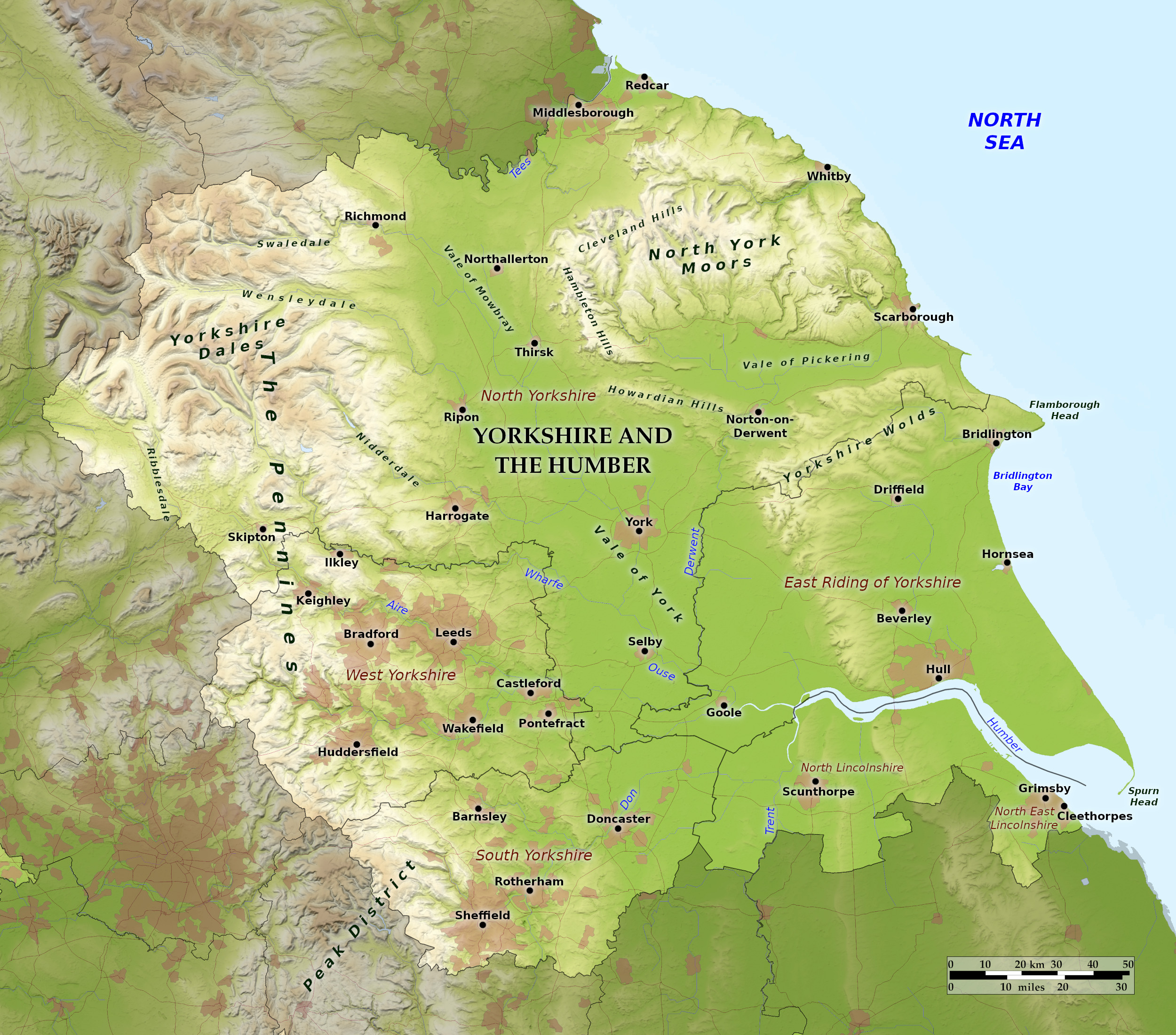 Relief map of Yorkshire and the Humber
What is the landscape of Yorkshire and the Humber like?
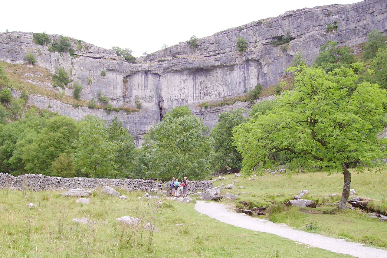
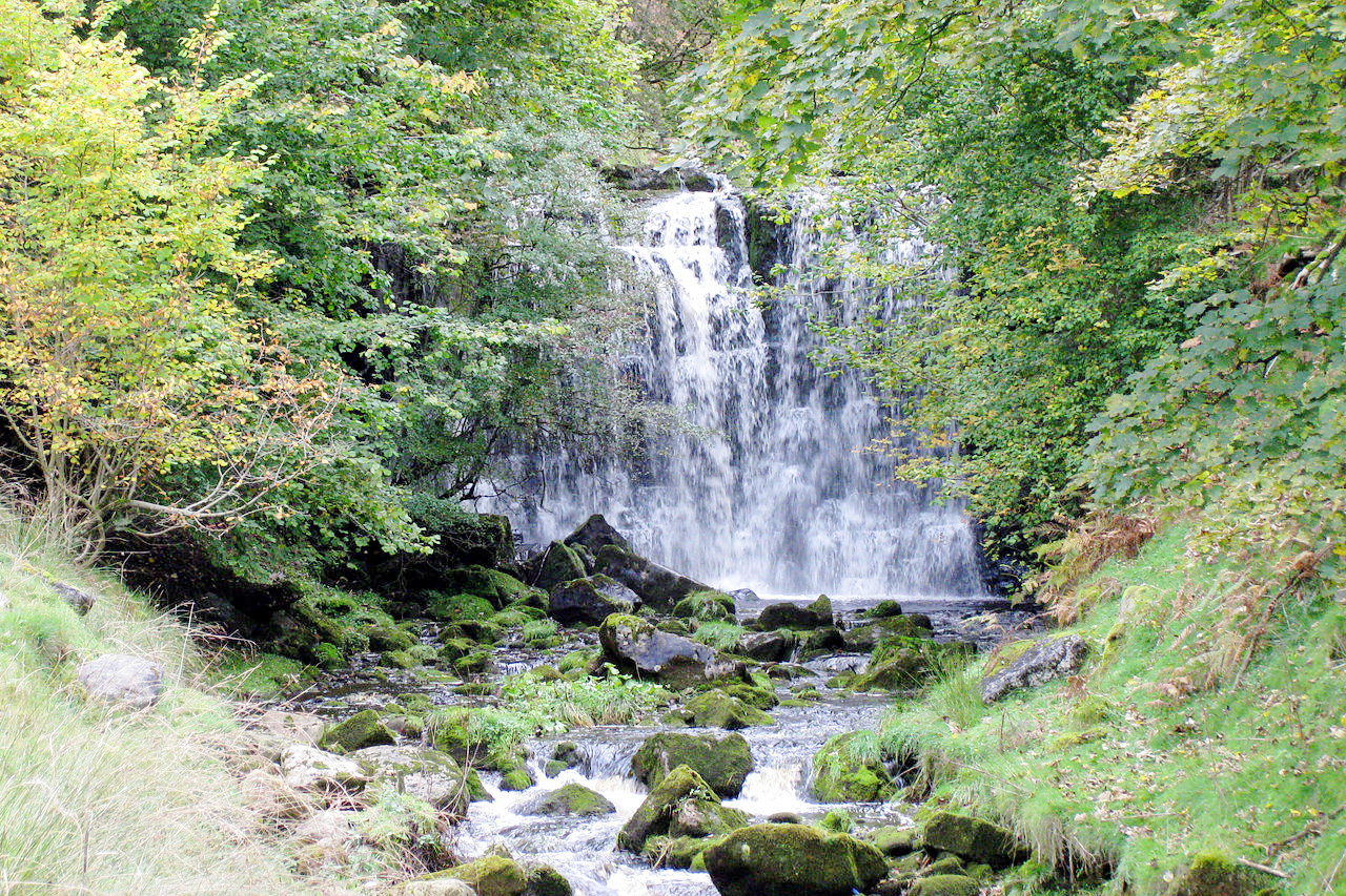
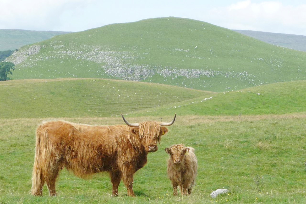
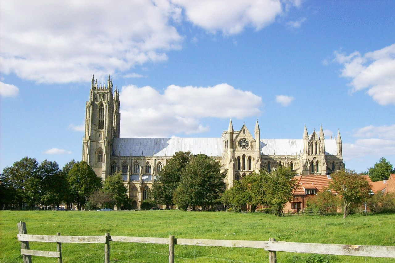
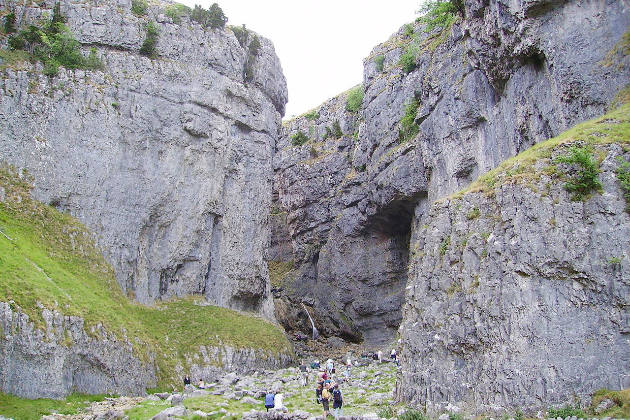
Yorkshire is almost a separate kingdom in itself and has its own special character within England. The middle of the county is a plain, which in the south, around the Humber Estuary, merges with the Fens of Lincolnshire. York is an ancient city—York Minster at its heart is one of the most glorious churches in all England, and has the most beautiful stained glass. The hills west of the central plain cover nearly the whole of the western third of Yorkshire. These are part of the great Pennine Chain of England—in the south merging with the Peak District, but in the north known as the Yorkshire Dales. These hills consist of high-lying moorland. The higher parts are wind-swept wildlands, and the slope towards the central plain is gradual. The chief beauty of the district is to be found in the numerous deep valleys or dales, such as Teesdale, Swaledale, Wensleydale, Nidderdale, Wharfedale and Airedale, in which the rivers are often interrupted by waterfalls.
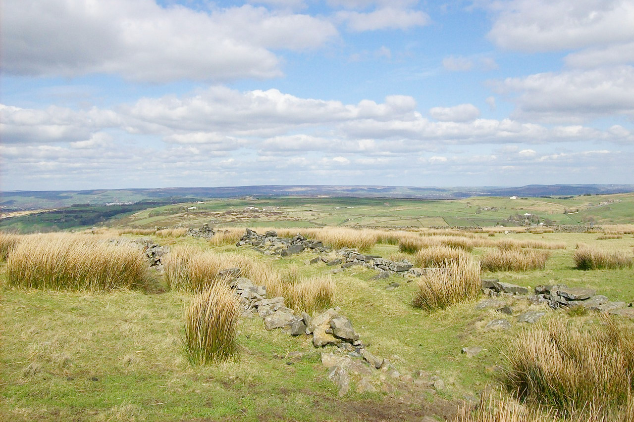
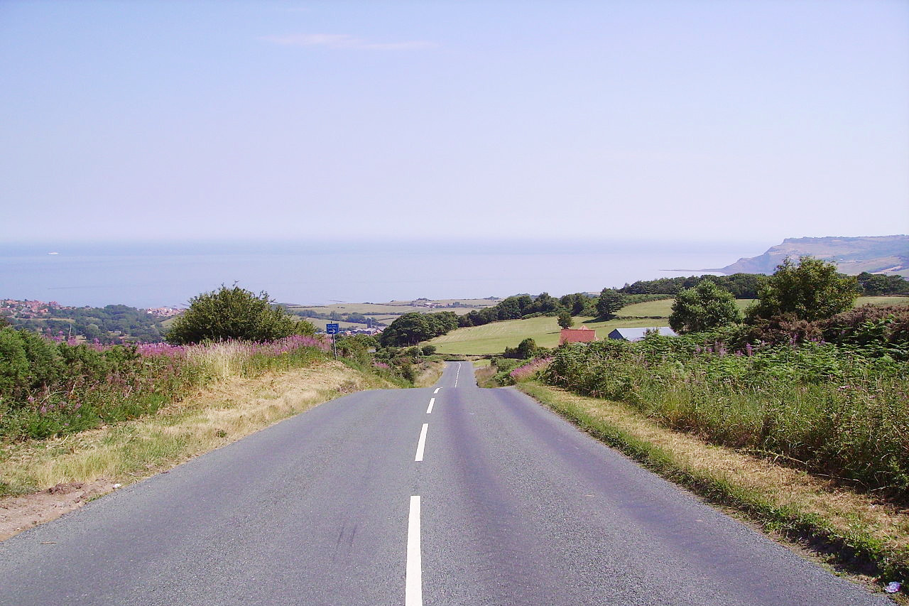
The eastern part of the region has several ranges of hills. In the north are the North York Moors, which like the Yorkshire Dales consist of open moorland in their higher parts. Eastward the North York Moors reach the coast, with high and steep cliffs, and the cries of numerous sea birds. To the south there is a lower range of hills known as the Yorkshire Wolds which superficially resemble the moors, and like them, reach the coast, most dramatically at Flamborough Head, some 140 meters (450 feet) high, and one of the boldest headlands on the English coast.
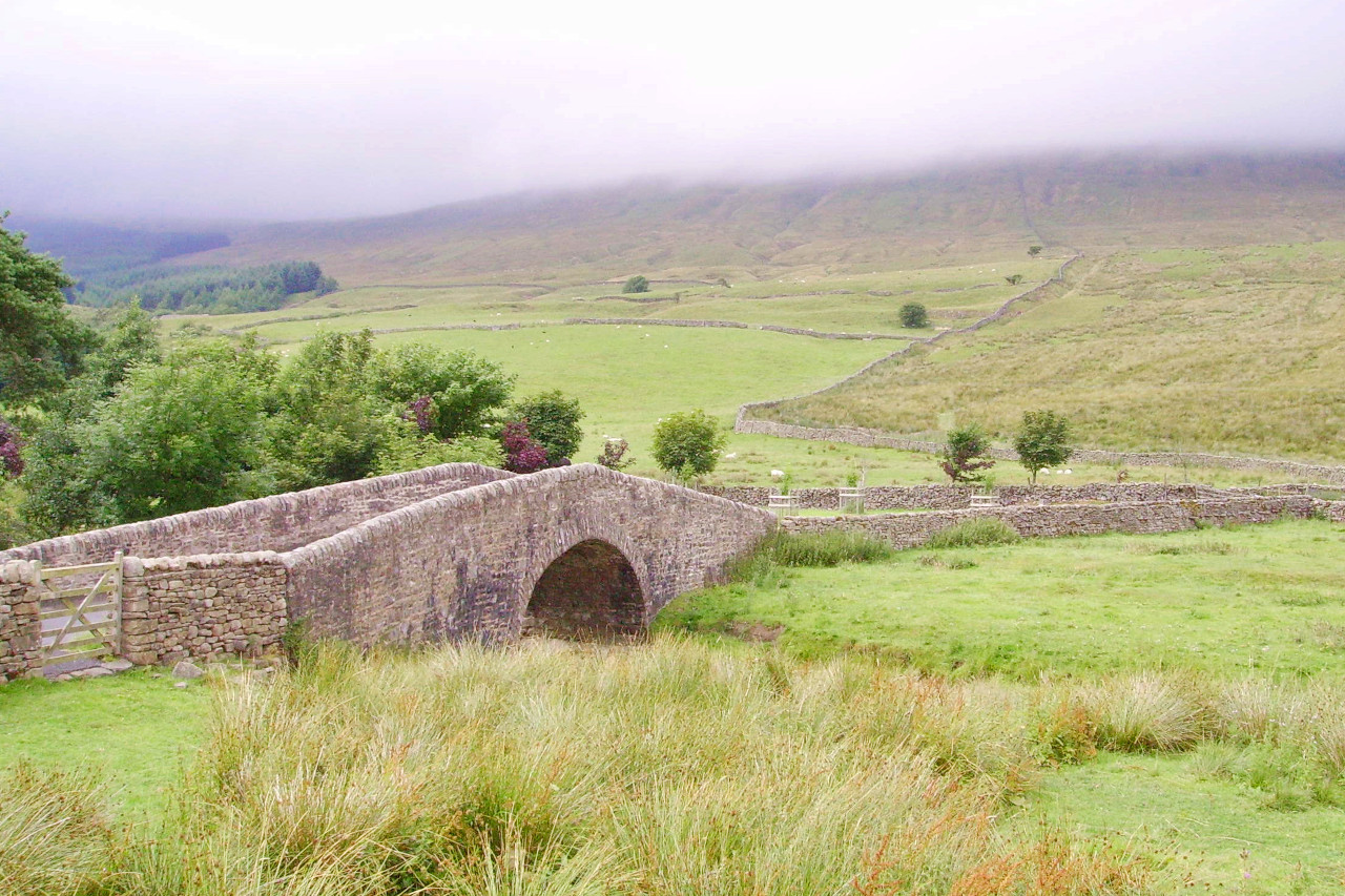 Bridge in the Yorkshire Dales
What is the climate of Yorkshire and the Humber like?
Yorkshire has an oceanic climate typical for England, and there are four distinct seasons. Lowland areas are sheltered from the rain-bearing winds from the west, making these parts some of the drier parts of the country. Snow can fall in winter from December onwards to as late as April but quickly melts. Temperatures range from mild summer highs in July and August typically around 21°C (70°F), to winter lows in December and January falling to around 0°C (32°F).
The Pennine hills have more rain, stronger winds, and colder weather. More snow falls on the Pennines than in the lowland areas and winters can be quite harsh. The eastern side is drier than the west—the rain shadow of the mountains shields eastern parts from rainfall that would otherwise fall there.
| Climate data for Hull (1991–2020) | |||||||||||||
|---|---|---|---|---|---|---|---|---|---|---|---|---|---|
| Month | Jan | Feb | Mar | Apr | May | Jun | Jul | Aug | Sep | Oct | Nov | Dec | Year |
| Average high °C (°F) | 7.7 (45.9) | 8.6 (47.5) | 10.9 (51.6) | 13.7 (56.7) | 16.6 (61.9) | 19.6 (67.3) | 22.0 (71.6) | 21.8 (71.2) | 18.9 (66.0) | 14.8 (58.6) | 10.7 (51.3) | 7.9 (46.2) | 14.5 (58.1) |
| Daily mean °C (°F) | 5.0 (41.0) | 5.4 (41.7) | 7.1 (44.8) | 9.4 (48.9) | 12.2 (54.0) | 15.0 (59.0) | 17.4 (63.3) | 17.2 (63.0) | 14.7 (58.5) | 11.2 (52.2) | 7.7 (45.9) | 5.2 (41.4) | 10.7 (51.3) |
| Average low °C (°F) | 2.2 (36.0) | 2.2 (36.0) | 3.4 (38.1) | 5.1 (41.2) | 7.7 (45.9) | 10.5 (50.9) | 12.8 (55.0) | 12.6 (54.7) | 10.5 (50.9) | 7.8 (46.0) | 4.6 (40.3) | 2.4 (36.3) | 6.9 (44.4) |
| Average precipitation mm (inches) | 54.3 (2.14) | 47.7 (1.88) | 43.3 (1.70) | 47.5 (1.87) | 48.4 (1.91) | 69.7 (2.74) | 61.4 (2.42) | 64.7 (2.55) | 61.4 (2.42) | 66.4 (2.61) | 68.3 (2.69) | 60.5 (2.38) | 693.5 (27.30) |
| Source: Met Office | |||||||||||||
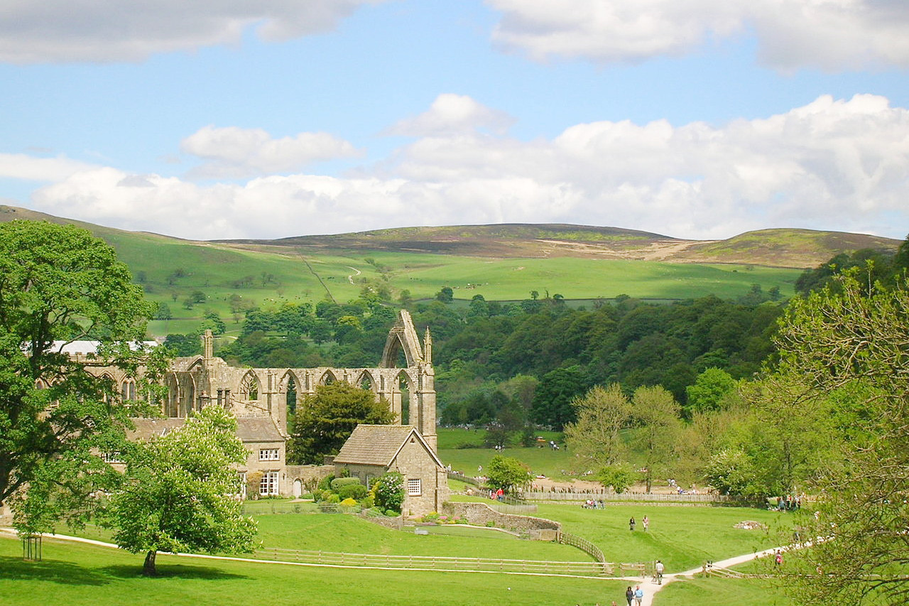
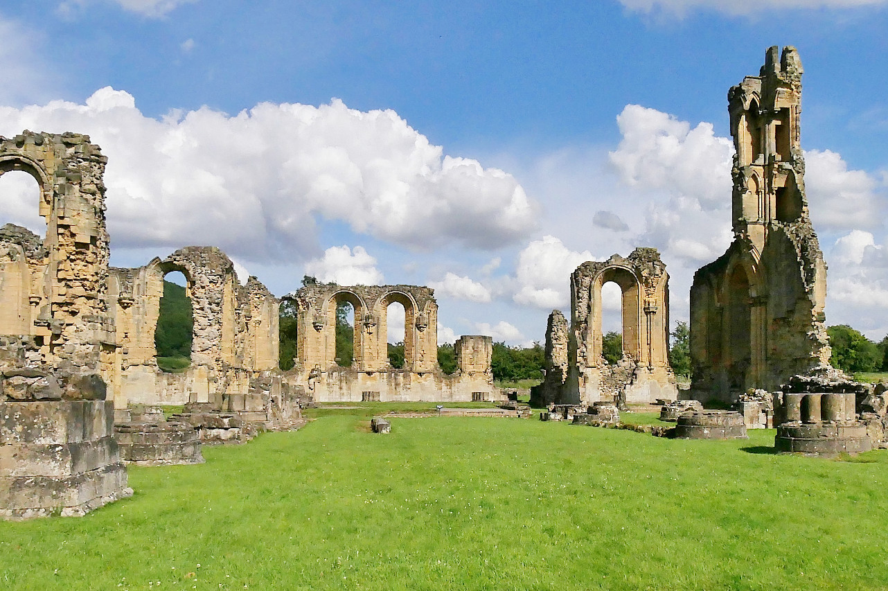 Byland Abbey in the North York Moors National Park
The official websites
Yorkshire and the Humber
From moorland hills to peaceful dales
| Location: | Eastern Britain |
| Coordinates: | 54° 00′ N, 1° 15′ W |
| Size: | • 150 km N-S; 175 km E-W • 90 miles N-S; 110 miles E-W |
| Terrain: | Ranges of hills separated by large lowland plains |
| Climate: | Maritime climate with cool summers and cool winters; year-round rainfall |
| Highest point: | Whernside 736 m / 2,415 ft |
| Forest: | 16% (2010 est.) (source) |
| Population: | 5,284,000 (2011) |
| Population density: | High (340/km²) |
| Capital: | — |
| Languages: | English |
| Human Development Index: | Very High (0.911) |