.jpg)
.jpg&oldid=459753657)
The Geography of
Northwest England
Why visit Northwest England?
Anyone who has ever visited Northwest England will tell you that it is one of the most beautiful regions in the United Kingdom. The rolling hills, the clear lakes, and the evergreen forests are all reasons why visitors find this area so captivating. From the serenity of Cumbria's Lake District, to the ruggedness of Lancashire's Forest of Bowland, this region is steeped in history and intrigue.
Contents
Map
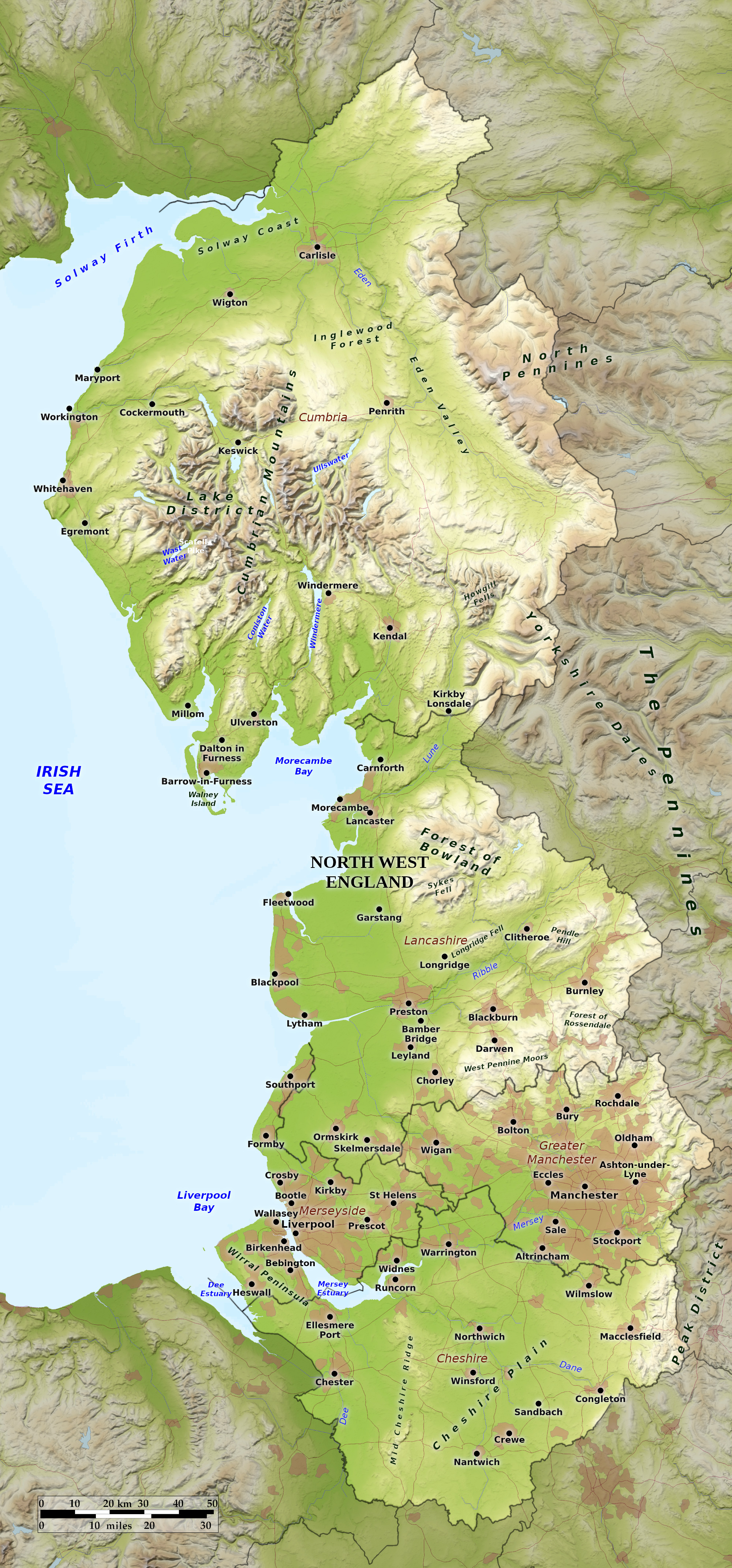 Relief map of Northwest England
What is the landscape of Northwest England like?
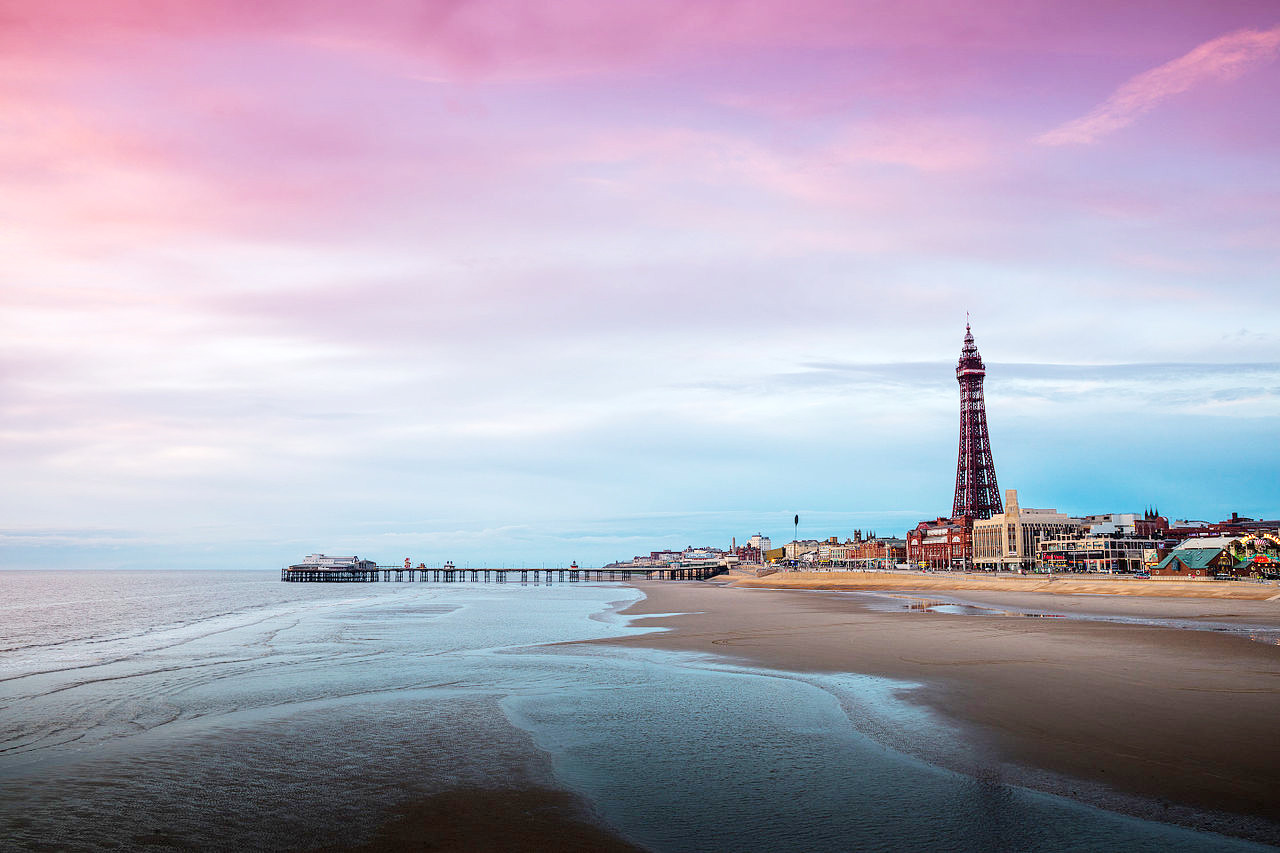
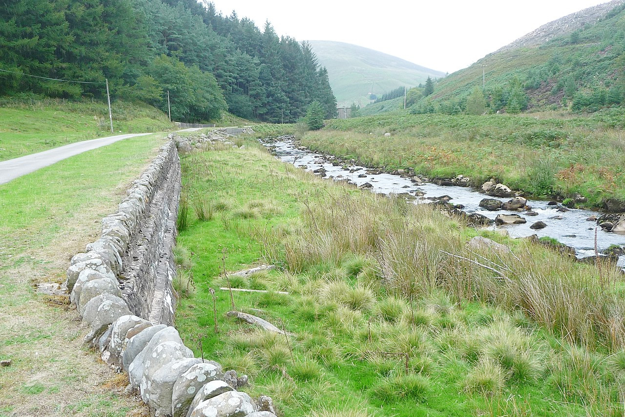
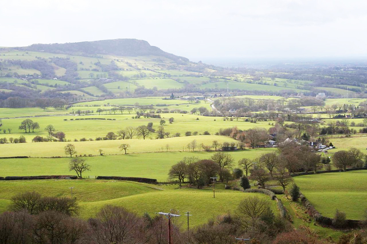
In the south of the region is the Cheshire Plain, low and mostly flat, with one significant line of hills—the Mid Chesire Ridge. Chester is a lively, busy city, but with the charm that only great age brings; it has Roman ruins, including its ancient walls. To the east lies the high land which embraces the Peak district of Derbyshire. To the north is the historic county of Lancashire. Along the seacoast from the Mersey to Lancaster there is a continuous plain of reclaimed peat moss. The east is a hill district, part of the Pennine Hills. The moorlands in the south are generally wild and covered with heather. Towards the north the scenery is frequently beautiful, the ancient Forest of Bowland comprising green rounded ridges separated by wooded valleys.
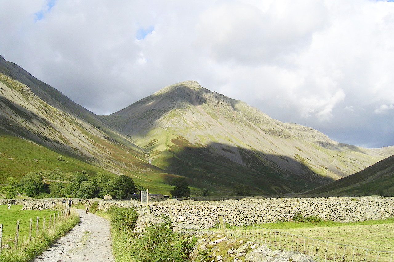
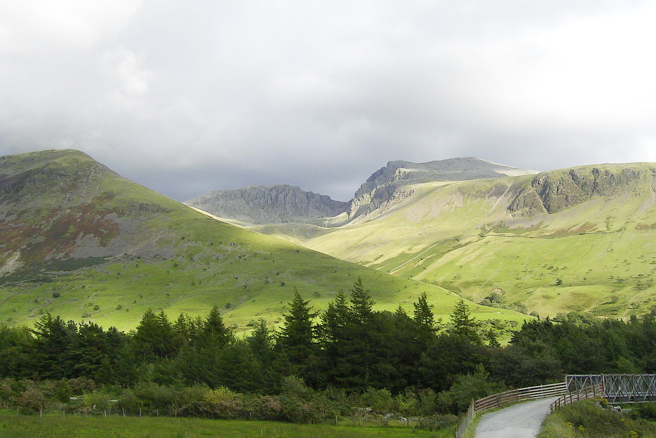
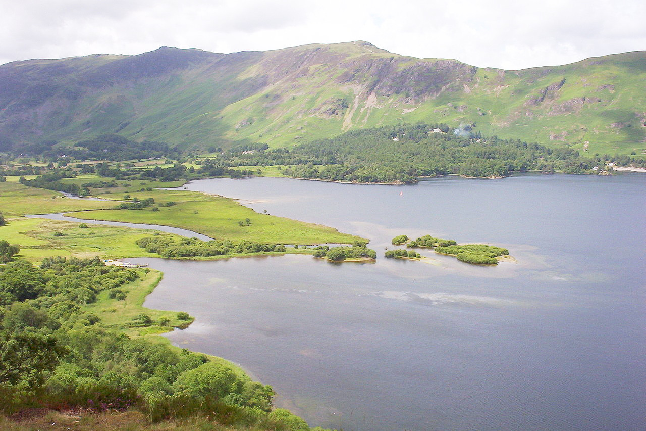
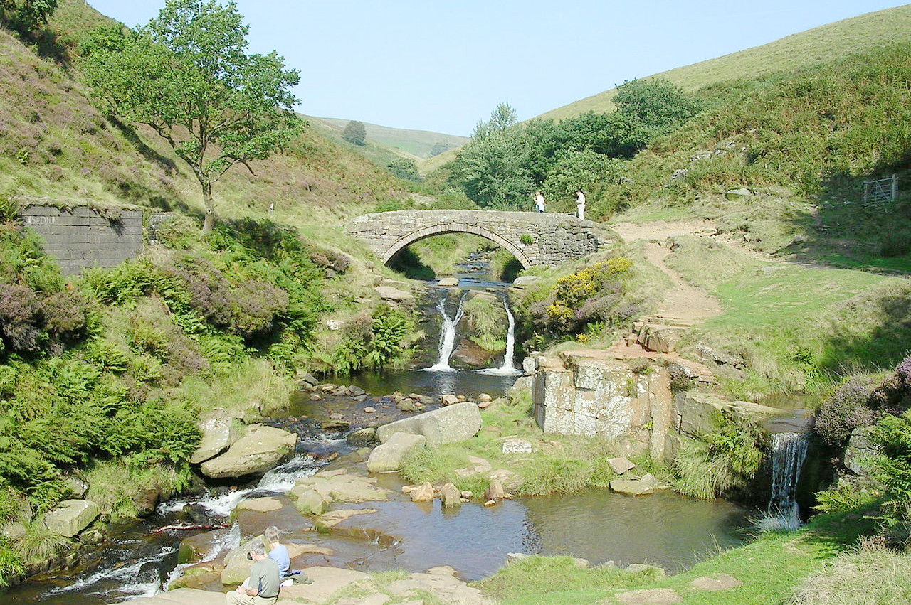
Cumbria is renowned for its lofty mountains, naked hills, and barren moors, fertile valleys, romantic lakes, and beautiful scenery. The mountains, usually called Fells, often culminate in sheer cliffs or crags. They tower above flat green valley floors which give way in the lower parts to lovely woods. The principal mountains are Scafell, Helvellyn, Skiddaw, and Blencathra—some of these rise over 900 m (3,000 feet) above sea-level. The celebrated lakes which give this region its name—The Lake District—show a wonderful variety of character, from open expanse and steep rock-bound shores to beautiful island-groups and soft wooded banks. The Lake District is ideal for hikers. Often called "Little Switzerland," it was the haven of great English poets, notably Wordsworth.
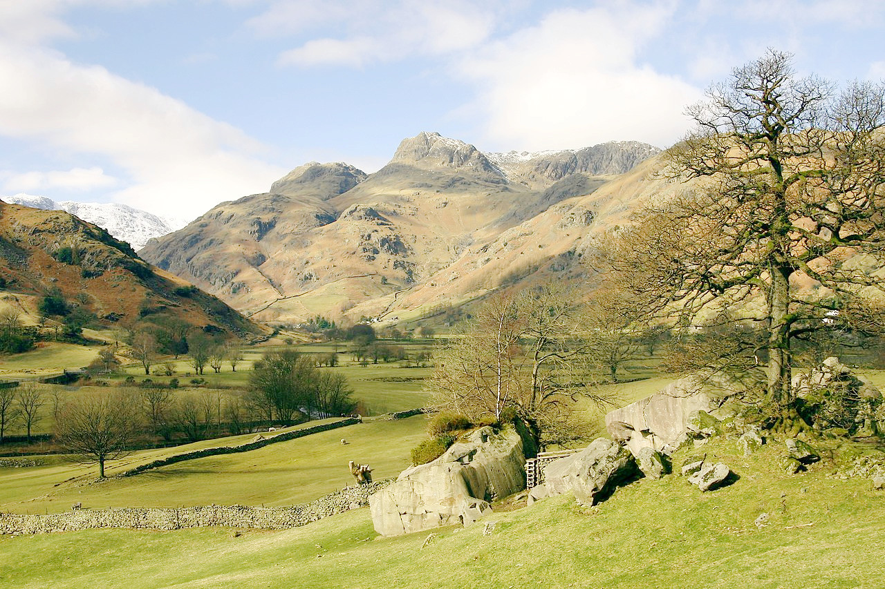 Great Langdale and Copt Howe, Cumbria
What is the climate of Northwest England like?
Northwest England experiences a temperate oceanic climate, like much of the British Isles, with warm summers and cool winters. Summer daytime temperatures regularly top 20°C, quite often reaching 25°C on sunny days during July and August in particular.
Rainfall is spread fairly evenly throughout the year. Snowfalls are not common in lowland areas, but the higher ground of the Peak District, Pennines, and Cumbrian Hills receive more snow, and harsh winter conditions. The Lake District is the wettest part of England. Annual rainfall can exceed 2,000 mm (80 in) there, but with very large local variation.
| Climate data for Manchester (1981–2010) | |||||||||||||
|---|---|---|---|---|---|---|---|---|---|---|---|---|---|
| Month | Jan | Feb | Mar | Apr | May | Jun | Jul | Aug | Sep | Oct | Nov | Dec | Year |
| Average high °C (°F) | 7.3 (45.1) | 7.6 (45.7) | 10.0 (50.0) | 12.6 (54.7) | 16.1 (61.0) | 18.6 (65.5) | 20.6 (69.1) | 20.3 (68.5) | 17.6 (63.7) | 13.9 (57.0) | 10.0 (50.0) | 7.4 (45.3) | 13.5 (56.3) |
| Daily mean °C (°F) | 4.5 (40.1) | 4.6 (40.3) | 6.7 (44.1) | 8.8 (47.8) | 11.9 (53.4) | 14.6 (58.3) | 16.6 (61.9) | 16.4 (61.5) | 14.0 (57.2) | 10.7 (51.3) | 7.1 (44.8) | 4.6 (40.3) | 10.0 (50.0) |
| Average low °C (°F) | 1.7 (35.1) | 1.6 (34.9) | 3.3 (37.9) | 4.9 (40.8) | 7.7 (45.9) | 10.5 (50.9) | 12.6 (54.7) | 12.4 (54.3) | 10.3 (50.5) | 7.4 (45.3) | 4.2 (39.6) | 1.8 (35.2) | 6.6 (43.9) |
| Average precipitation mm (inches) | 72.3 (2.85) | 51.4 (2.02) | 61.2 (2.41) | 54.0 (2.13) | 56.8 (2.24) | 66.1 (2.60) | 63.9 (2.52) | 77.0 (3.03) | 71.5 (2.81) | 92.5 (3.64) | 81.5 (3.21) | 80.7 (3.18) | 828.8 (32.63) |
| Source: Met Office | |||||||||||||
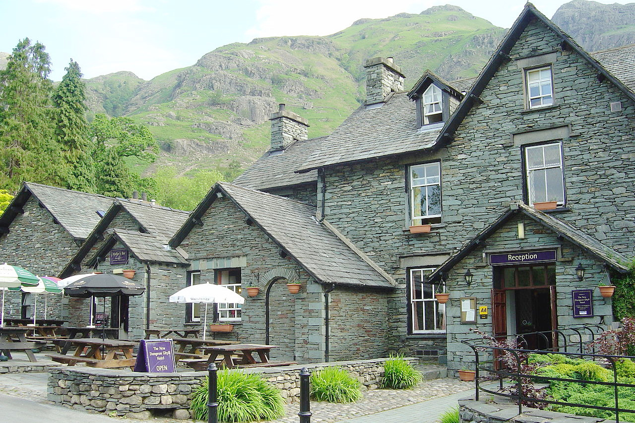 The New Dungeon Ghyll Hotel, Langdale Valley, Cumbria
The official websites
North West England
Wild hills and serene lakes
| Location: | Western Britain |
| Coordinates: | 54° 00′ N, 2° 45′ W |
| Size: | • 250 km N-S; 105 km E-W • 155 miles N-S; 65 miles E-W |
| Terrain: | Ranges of hills with intermittant lowland plains |
| Climate: | Maritime climate with cool summers and winters; year-round rainfall |
| Highest point: | Scafell Pike 978 m / 3,209 ft |
| Forest: | 14% (2010 est.) (source) |
| Population: | 7,052,000 (2011) |
| Population density: | High (497/km²) |
| Capital: | — |
| Languages: | English |
| Human Development Index: | Very High (0.919) |