
The Geography of
Rhode Island
Why visit Rhode Island?
Rhode Island is a small, but geographically diverse—you can find different landscapes, from the rocky coastline to the rolling hills, all within a short distance from each either. Rhode Island has an Atlantic Ocean coastline, Narragansett Bay and the Sakonnet River, and a wide variety of forests. The state also has an abundant history, with many historic sites to explore.
Contents
Map
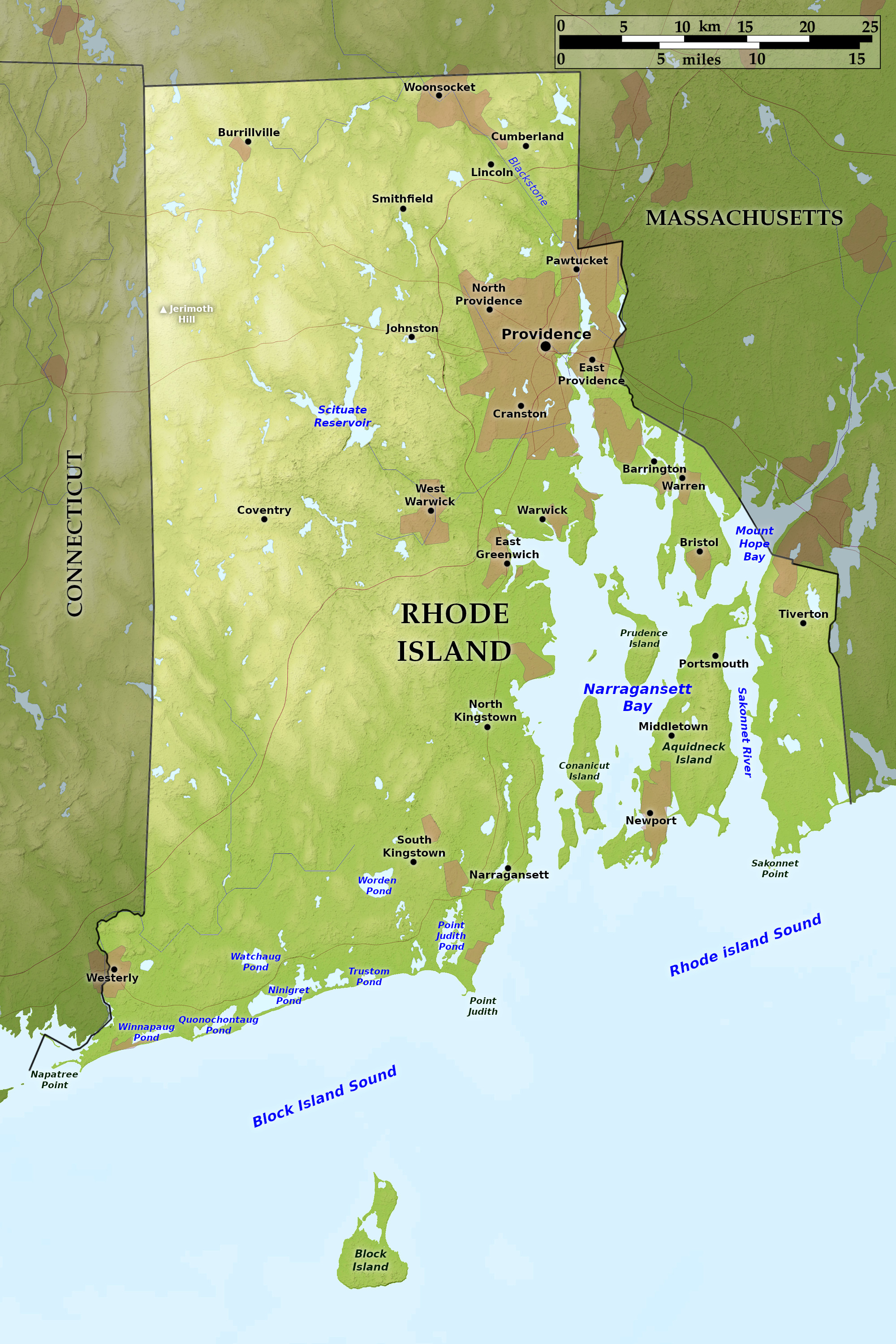 Relief map of Rhode Island
What is the landscape of Rhode Island like?
Rhode Island is characterized by low, rounded hills. In the north and west it consists of a somewhat rugged upland which slopes gradually southward. In the northwest is Jerimoth Hill, which attains aheight of 811 feet (247 m), and is the highest point within Rhode Island. The landscape in the south and east is very gently rolling, and the State contains many lakes and small waterfalls.
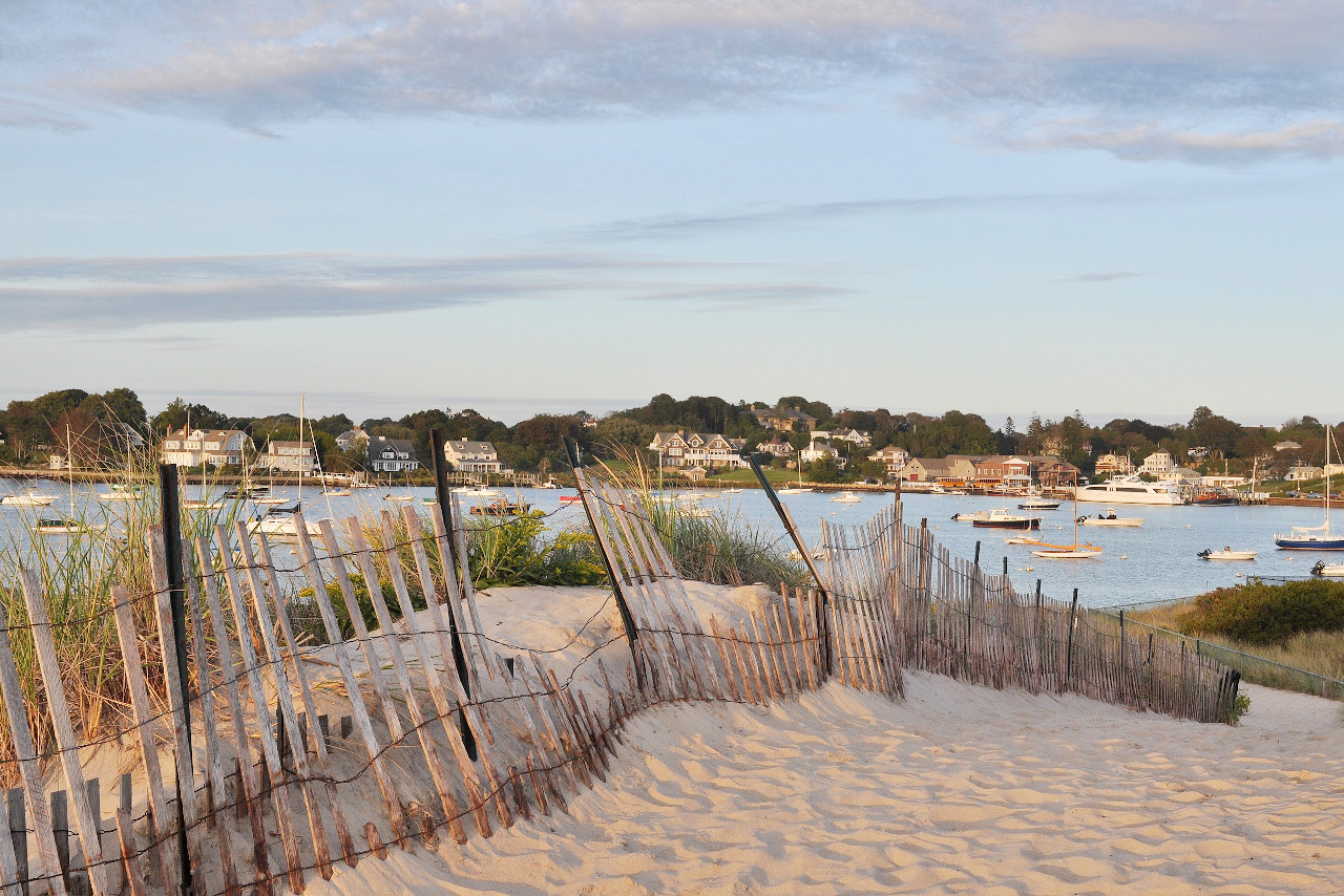
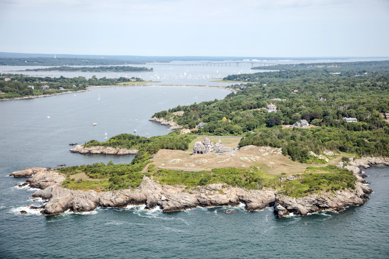
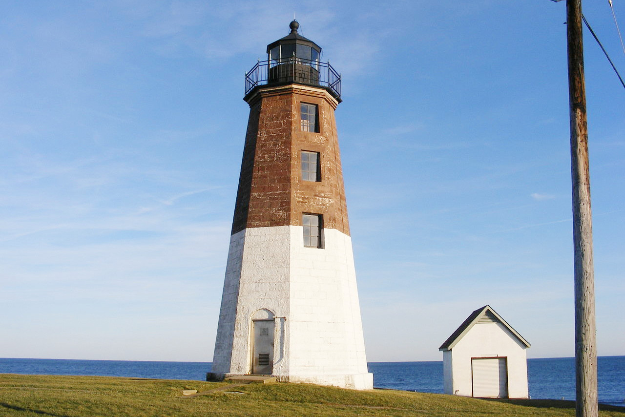
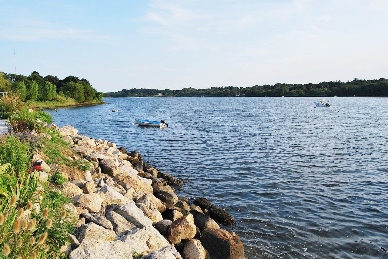
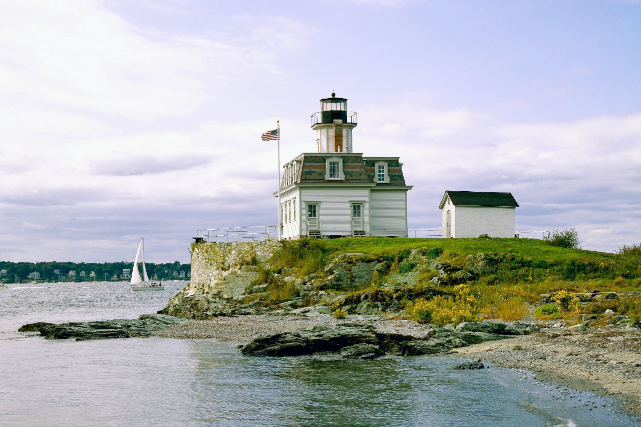
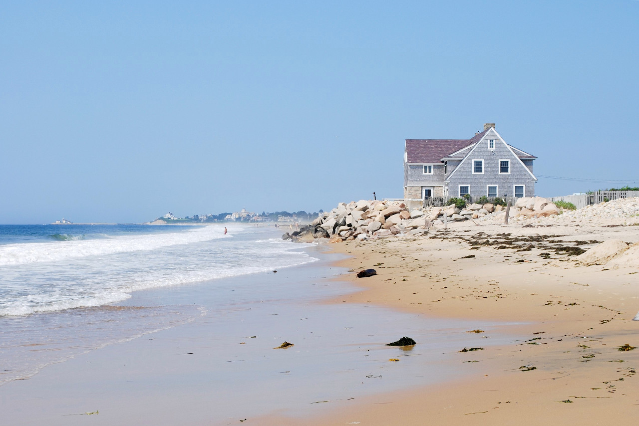
The coastline, including the shores of the bays and islands, is extensive; its western portion contains numerous salt marshes along the shore, but its eastern portion is dominated by Narragansett Bay. This is a large, irregular, and branching inlet extending 28 miles inland, with a width of from 12 to 3 miles. It incloses a number of islands, the largest of which are Aquidneck Island, Conanicut Island, and Prudence Island. Aquidneck, containing the town of Newport, is a beautiful island, 15 miles long and 3 miles wide—it is lined with cliffs and beaches. Lying about 10 miles off the coast is Block Island, a sandy island 6 miles long enclosing a salt lagoon.
What is the nature of Rhode Island like?
The natural state of Rhode Island is very similar to that of Connecticut and Massachusetts. The most common varieties of trees are the oak, walnut and chestnut. There are a few stretches of pine forest, and in the south the marshes contain stands of cedar.
What is the climate of Rhode Island like?
Rhode Island has a temperate, maritime climate. There are no great extremes of either heat or cold, and a number of the towns and cities, especially Newport and Narragansett, have become noted summer resorts. The cold winds striking the eastern coast of New England are almost unknown here.
| Climate data for Providence, Rhode Island (1991–2020) | |||||||||||||
|---|---|---|---|---|---|---|---|---|---|---|---|---|---|
| Month | Jan | Feb | Mar | Apr | May | Jun | Jul | Aug | Sep | Oct | Nov | Dec | Year |
| Average high °F (°C) | 38.3 (3.5) | 40.5 (4.7) | 47.7 (8.7) | 58.9 (14.9) | 68.9 (20.5) | 77.7 (25.4) | 83.6 (28.7) | 82.2 (27.9) | 74.8 (23.8) | 63.8 (17.7) | 53.2 (11.8) | 43.4 (6.3) | 61.1 (16.2) |
| Daily mean °F (°C) | 30.2 (−1.0) | 32.0 (0.0) | 38.9 (3.8) | 49.3 (9.6) | 59.1 (15.1) | 68.2 (20.1) | 74.4 (23.6) | 73.0 (22.8) | 65.6 (18.7) | 54.4 (12.4) | 44.5 (6.9) | 35.5 (1.9) | 52.1 (11.2) |
| Average low °F (°C) | 22.1 (−5.5) | 23.5 (−4.7) | 30.2 (−1.0) | 39.6 (4.2) | 49.2 (9.6) | 58.8 (14.9) | 65.2 (18.4) | 63.9 (17.7) | 56.5 (13.6) | 45.1 (7.3) | 35.8 (2.1) | 27.6 (−2.4) | 43.1 (6.2) |
| Average precipitation inches (mm) | 3.96 (101) | 3.44 (87) | 4.90 (124) | 4.29 (109) | 3.37 (86) | 3.81 (97) | 2.91 (74) | 3.59 (91) | 4.17 (106) | 4.18 (106) | 4.27 (108) | 4.65 (118) | 47.54 (1,208) |
| Average snowfall inches (cm) | 10.3 (26) | 10.5 (27) | 6.4 (16) | 0.6 (1.5) | 0.0 (0.0) | 0.0 (0.0) | 0.0 (0.0) | 0.0 (0.0) | 0.0 (0.0) | 0.2 (0.51) | 1.0 (2.5) | 7.6 (19) | 36.6 (93) |
| Source: NOAA | |||||||||||||
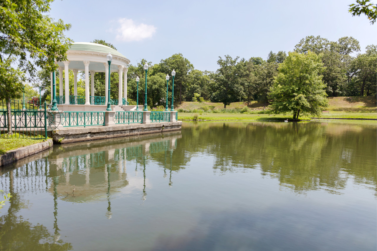
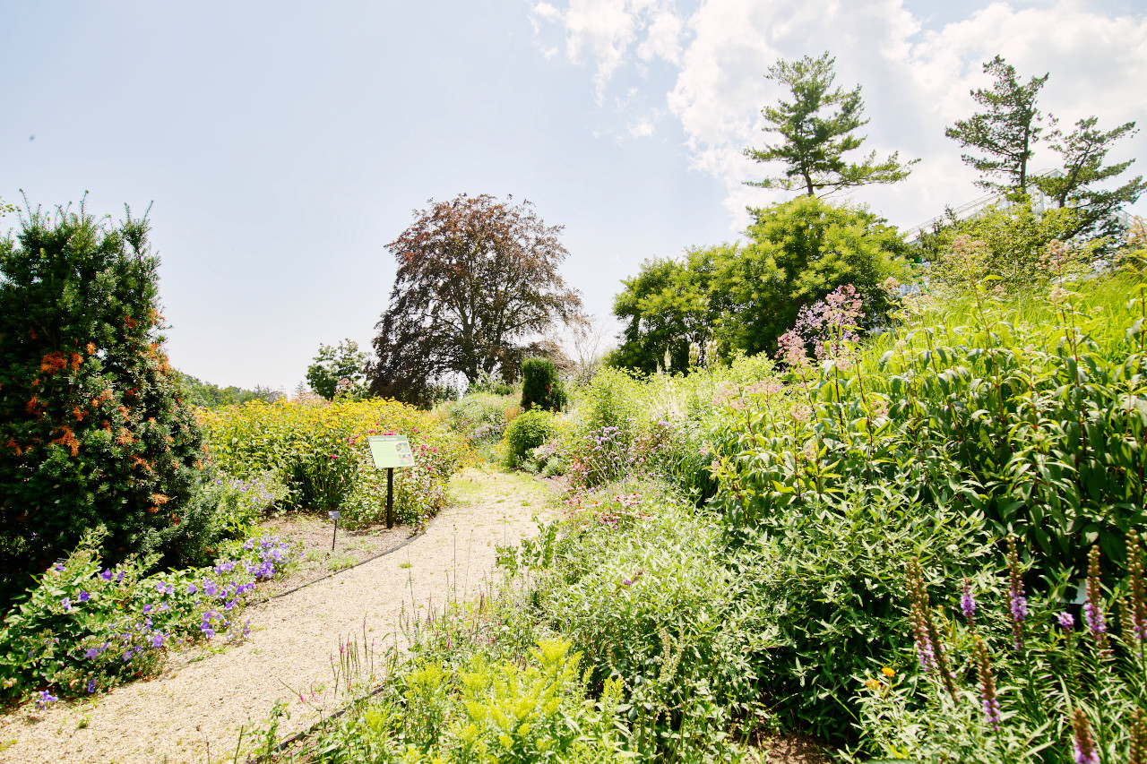 Roger Williams Park in Providence
The official websites
Rhode Island
The Ocean State
| Location: | Northeastern United States |
| Coordinates: | 41° 45′ N, 71° 30′ W |
| Size: | • 75 km N-S; 60 km E-W • 50 miles N-S; 35 miles E-W |
| Terrain: | The west is rolling hills and marked by forests and lakes; the east is lowland with sandy beaches and salt marshes |
| Climate: | Maritime climate with short summers and cool winters |
| Highest point: | Jerimoth Hill 247 m / 811 ft |
| Forest: | 54% (2016) (source) |
| Population: | 1,098,163 (2020) |
| Population density: | High (388/km²) |
| Capital: | Providence |
| Languages: | English |
| Human Development Index: | Very High (0.930) |