.jpg)
The Geography of
Massachusetts
Why visit Massachusetts?
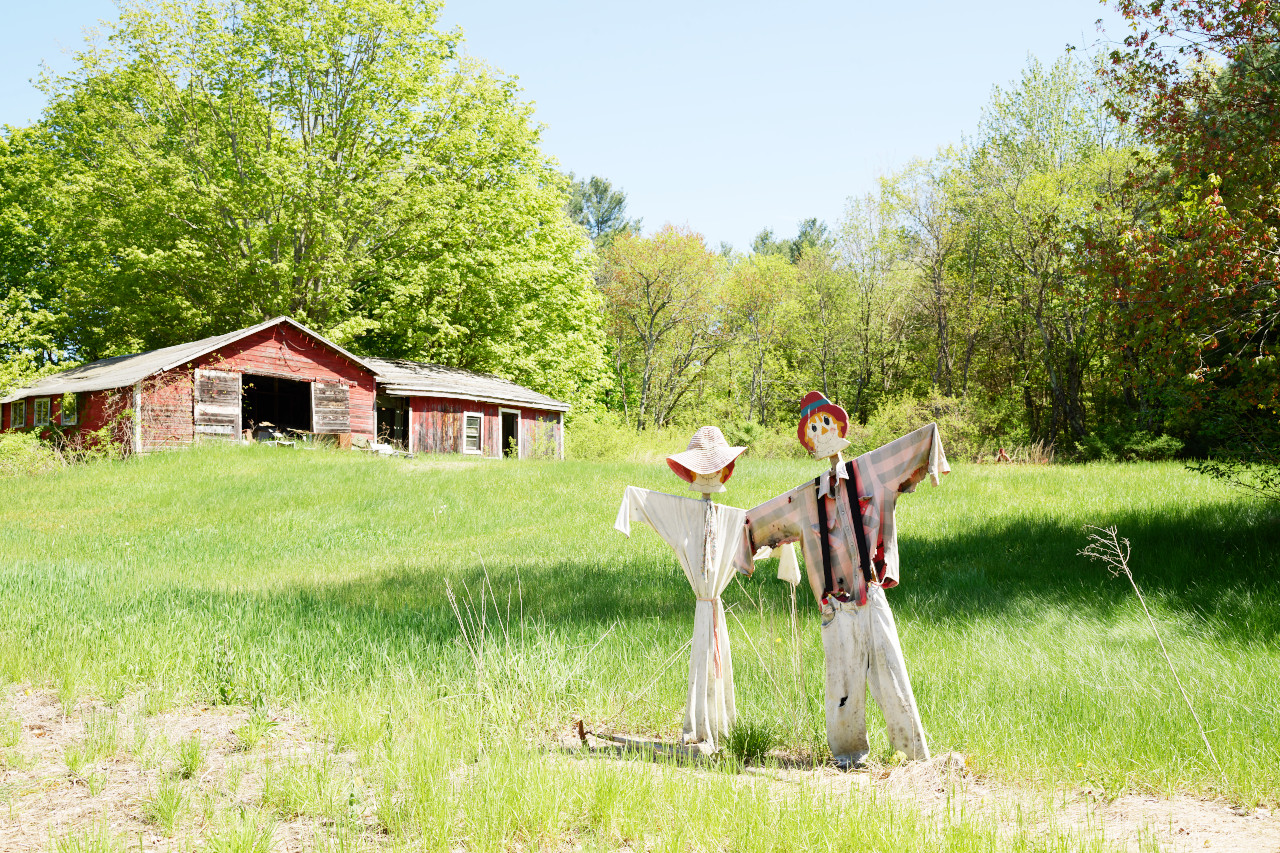
There are many reasons to love Massachusetts: it has rolling hills, quaint towns and bustling cities, and a rich history that dates back to the early days of America. The northeastern coast extending south from Cape Ann is bold and rocky, whereas in the south are the low and sandy shores of Cape Cod, and the islands of Martha's Vineyard and Nantucket. The towns and villages in the Central and Eastern regions are picturesque and charming, while the Western region boasts the rugged Berkshire Hills.
Contents
Map
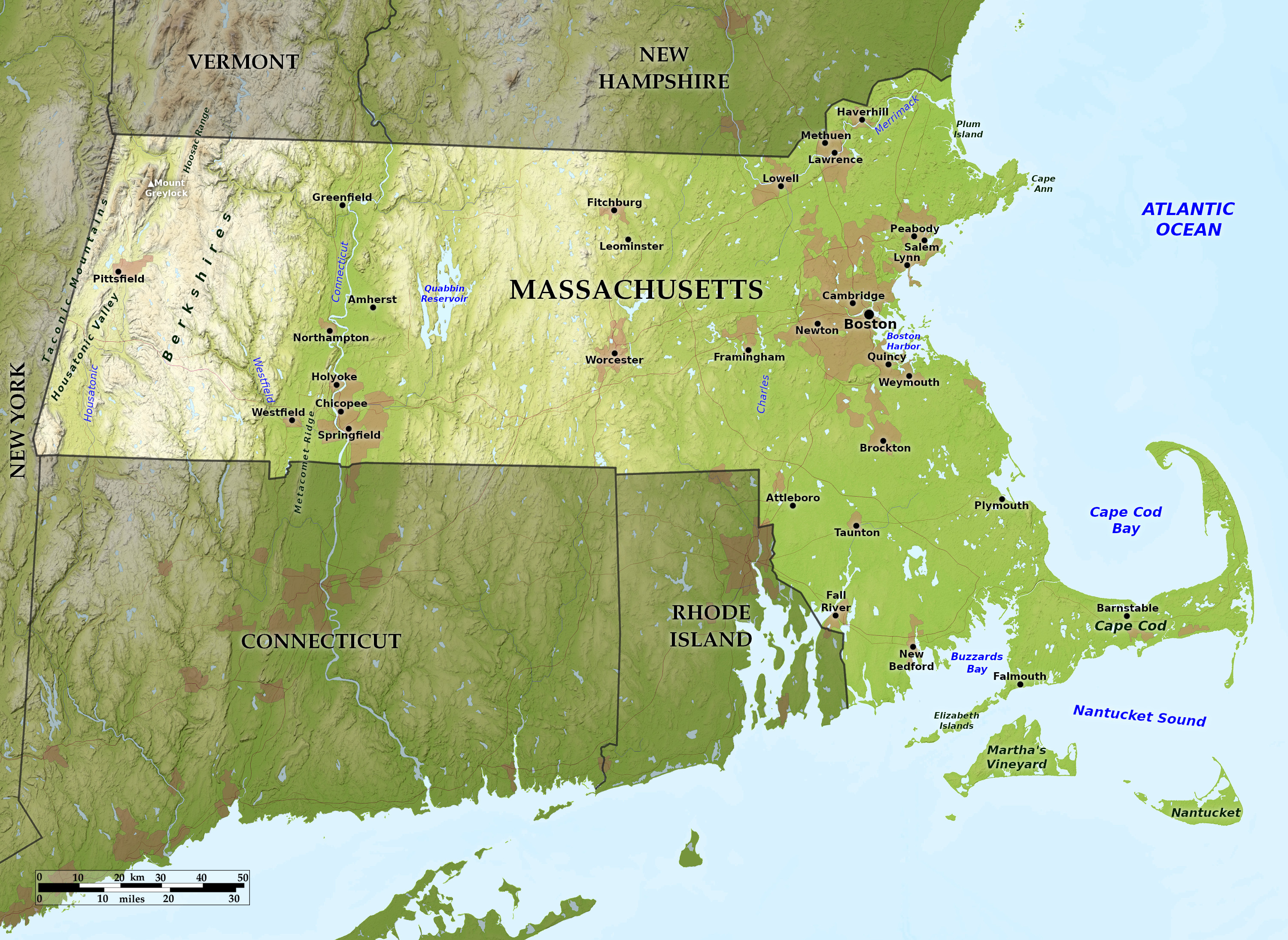 Relief map of Massachusetts
What is the landscape of Massachusetts like?
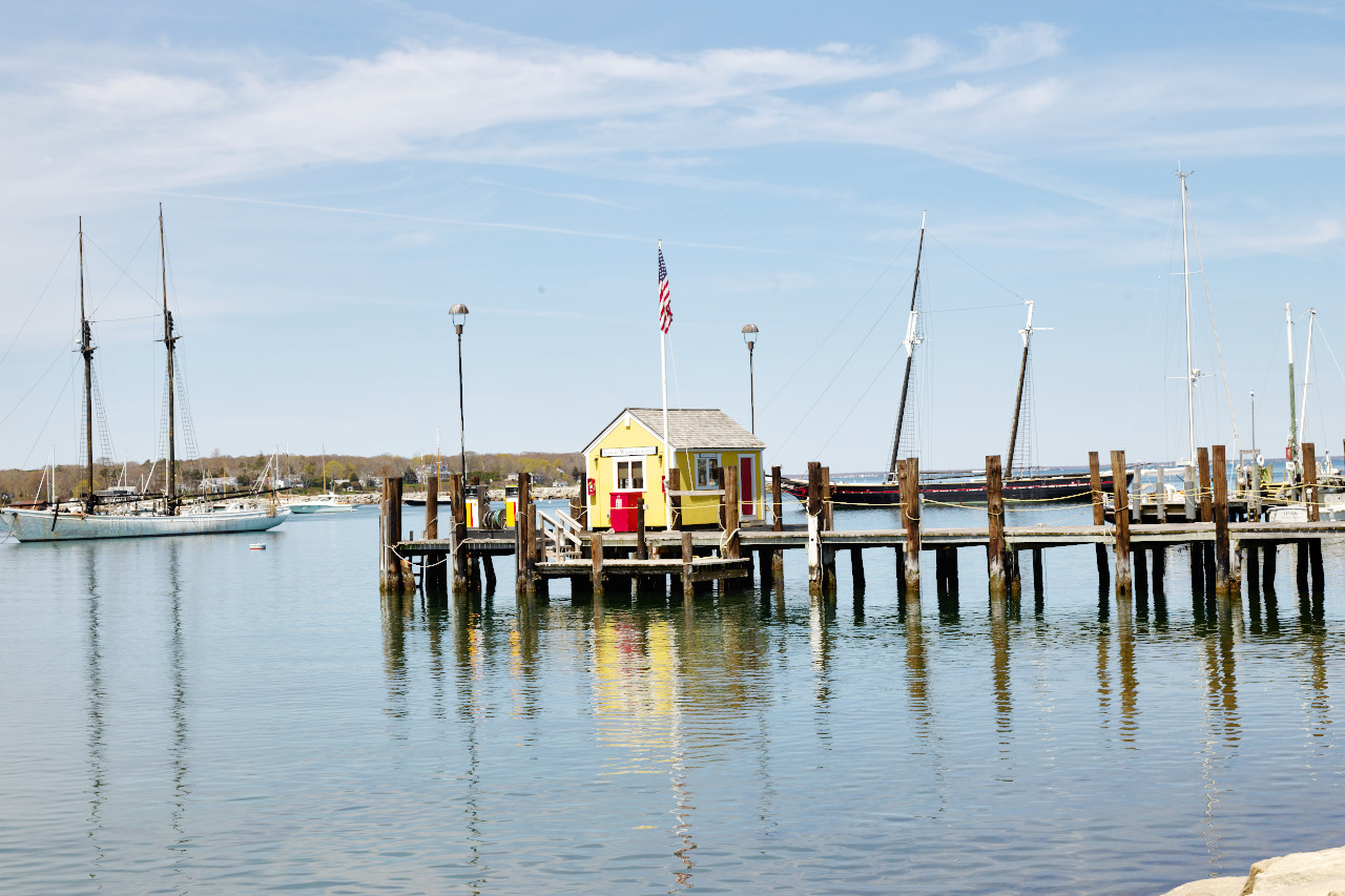
Coast and Islands
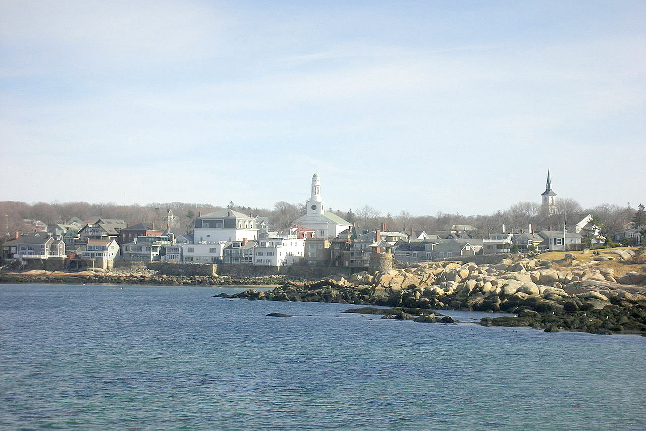
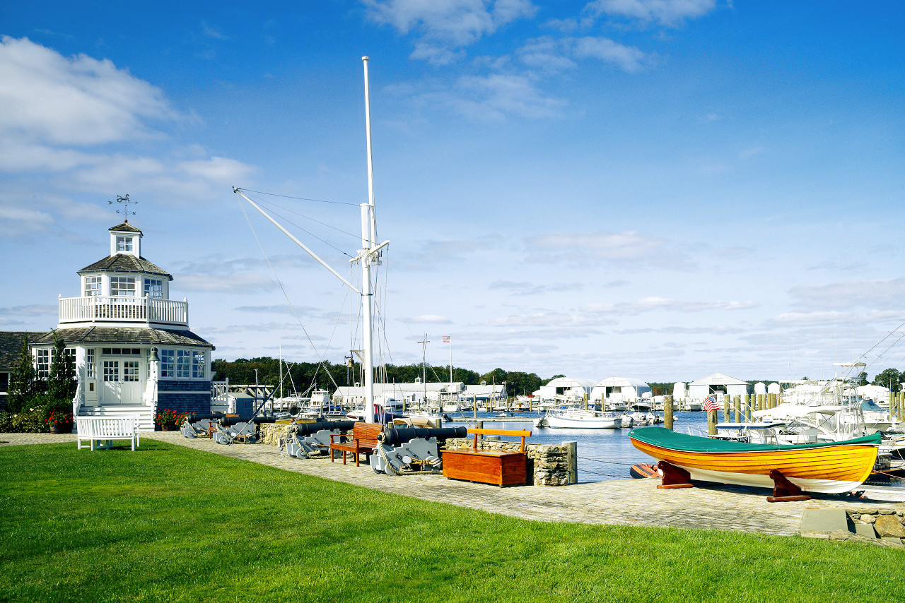
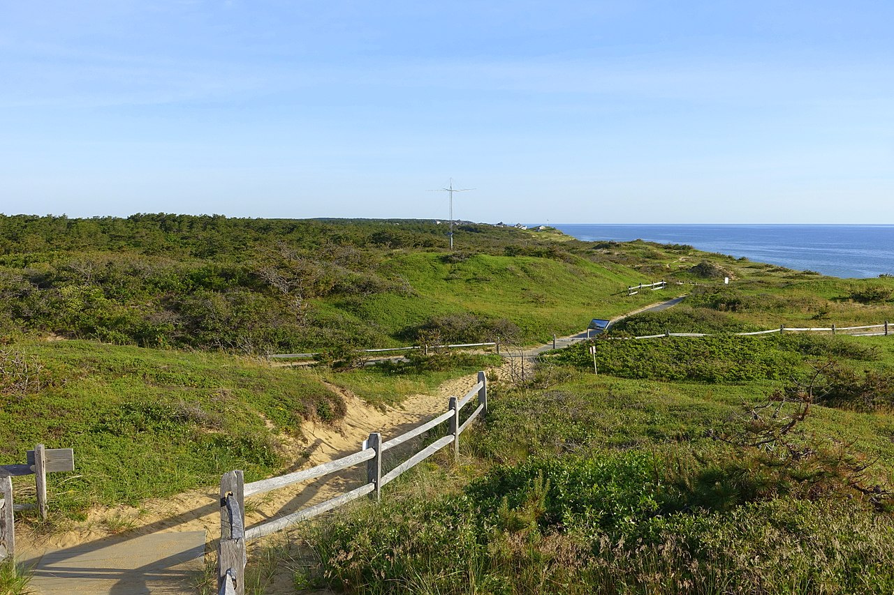
The coastal lowland is located all along the state's eastern edge; it includes Cape Cod and the offshore islands. The northern coastline of the state is characterized by rugged high slopes. Cape Ann has a ragged, rocky coast; it is a summer recreation ground, with much beautiful scenery.
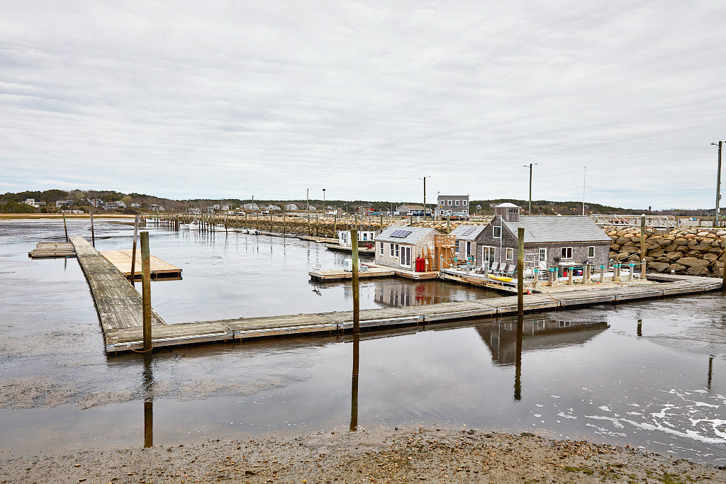
The southern coast of Massachusetts, along Cape Cod, is flatter and covered with grassy heaths. Cape Cod is like a human arm doubled at the elbow, 40 miles from shoulder to elbow and 30 miles from elbow to hand, but nowhere more than a few miles broad. It is a sandy ridge, dotted with summer resorts and cottages.
The principal islands lie off the south coast. The largest is Martha's Vineyard, roughly triangular in shape and about 20 miles long. The island is hilly and covered with stunted trees. Farther east, Nantucket, a smaller island is likewise the home of a seafaring folkand a popular summer resort. The Elizabeth Islands are characterized by broad, grassy plains.
Eastern Uplands
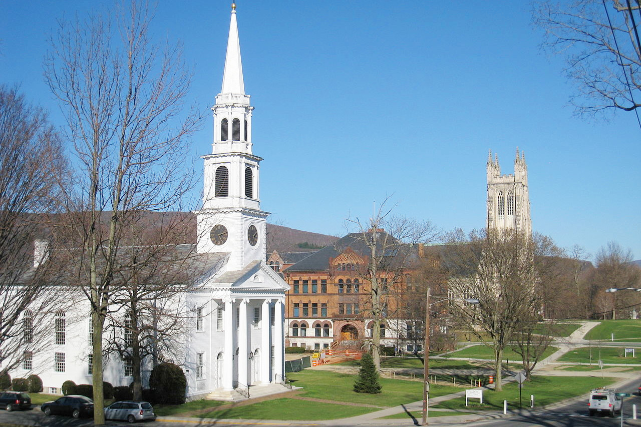
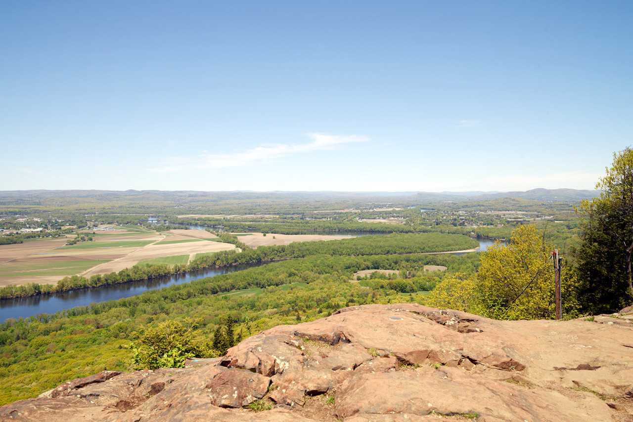
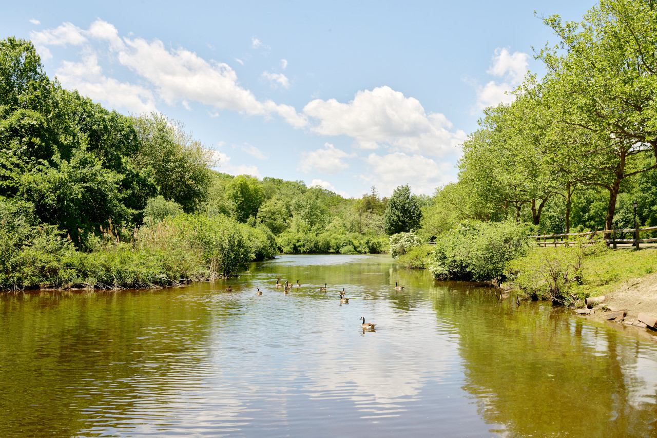
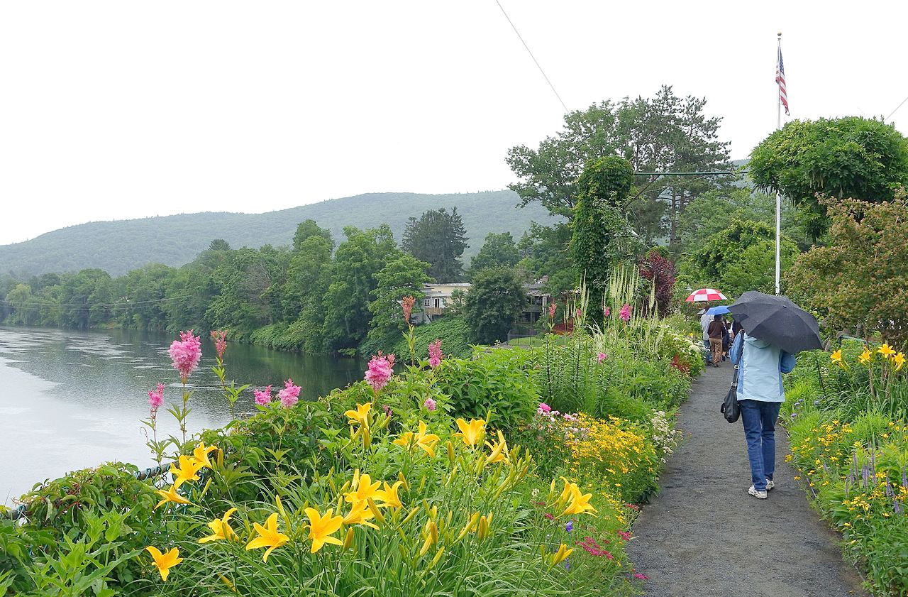
Inland are the eastern uplands, (an extension of the White Mountains of New Hampshire). Here the country is more or less hilly and rocky. From elevations of 1,100 ft (335 m) in midstate, this ridge of heavily forested hills slopes down gradually toward the rocky coast. The Connecticut River Valley is the main feature of west-central Massachusetts being the largest river in the state. Its valley, with much the richest farmland of the state, is celebrated for the quiet variety and beauty of its scenery.
Western Highlands
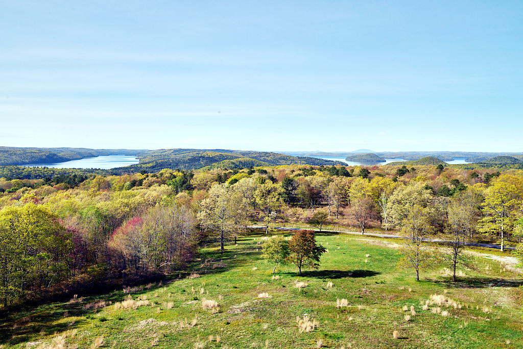
In western Massachusetts, the Taconic Range and Berkshire Hills (which extend southward from the Green Mountains of Vermont) have numerous hills and valleys. The Berkshire country is among the most beautiful regions of the United States. It is a rolling highland dominated by long, wooded hill-ridges, remarkably even-topped in height, intersected and broken by deep valleys.
Scores of charming lakes lie in the hollows. The district is often called the Lake Region of America and has become a favoured resort of summer residents. Mount Greylock, close to the New York border, is the highest point in the state, at 3,487 ft (1,064 m). Northeast of the Berkshires is the Hoosac Range, an area of plateau land.
What is the nature of Massachusetts like?
_-_DSC00819.JPG)
.jpg&oldid=513431612)
_-_DSC00819.JPG&oldid=535778719)
With the exception of small areas in the north and west, Massachusetts lies outside of the region of the great pine forests, and instead the State is filled with deciduous hardwood trees. Of the many tree species, maple, birch, beech, oak, pine, hemlock, and larch cover the Massachusetts uplands. The notable shrubs are mountain laurel, witch hazel, dogwood and viburnum. Typical wildflowers include the Maryland meadow beauty and false loosestrife, as well as several varieties of orchid, lily, goldenrod, and aster.
What is the climate of Massachusetts like?
The weather of Massachusetts is variable and, especially in the eastern parts of the State, subject to marked local variations. The winters are moderately severe, although near the sea there is much milder weather. Changes are often sudden, and the passage from winter to summer is through a rapid spring.
The summers are frequently marked by long periods of heat and sometimes by drought. In the summer and the autumn the weather is commonly fine, and often most beautiful; and, especially in the Berkshires, a cool, pure atmosphere prevails, relatively dry, and altogether delightful.
| Climate data for Boston (1991−2020) | |||||||||||||
|---|---|---|---|---|---|---|---|---|---|---|---|---|---|
| Month | Jan | Feb | Mar | Apr | May | Jun | Jul | Aug | Sep | Oct | Nov | Dec | Year |
| Average high °F (°C) | 36.8 (2.7) | 39.0 (3.9) | 45.5 (7.5) | 56.4 (13.6) | 66.5 (19.2) | 76.2 (24.6) | 82.1 (27.8) | 80.4 (26.9) | 73.1 (22.8) | 62.1 (16.7) | 51.6 (10.9) | 42.2 (5.7) | 59.3 (15.2) |
| Daily mean °F (°C) | 29.9 (−1.2) | 31.8 (−0.1) | 38.3 (3.5) | 48.6 (9.2) | 58.4 (14.7) | 68.0 (20.0) | 74.1 (23.4) | 72.7 (22.6) | 65.6 (18.7) | 54.8 (12.7) | 44.7 (7.1) | 35.7 (2.1) | 51.9 (11.1) |
| Average low °F (°C) | 23.1 (−4.9) | 24.6 (−4.1) | 31.1 (−0.5) | 40.8 (4.9) | 50.3 (10.2) | 59.7 (15.4) | 66.0 (18.9) | 65.1 (18.4) | 58.2 (14.6) | 47.5 (8.6) | 37.9 (3.3) | 29.2 (−1.6) | 44.5 (6.9) |
| Average precipitation inches (mm) | 3.39 (86) | 3.21 (82) | 4.17 (106) | 3.63 (92) | 3.25 (83) | 3.89 (99) | 3.27 (83) | 3.23 (82) | 3.56 (90) | 4.03 (102) | 3.66 (93) | 4.30 (109) | 43.59 (1,107) |
| Average snowfall inches (cm) | 14.3 (36) | 14.4 (37) | 9.0 (23) | 1.6 (4.1) | 0.0 (0.0) | 0.0 (0.0) | 0.0 (0.0) | 0.0 (0.0) | 0.0 (0.0) | 0.2 (0.51) | 0.7 (1.8) | 9.0 (23) | 49.2 (125) |
| Source: NOAA | |||||||||||||
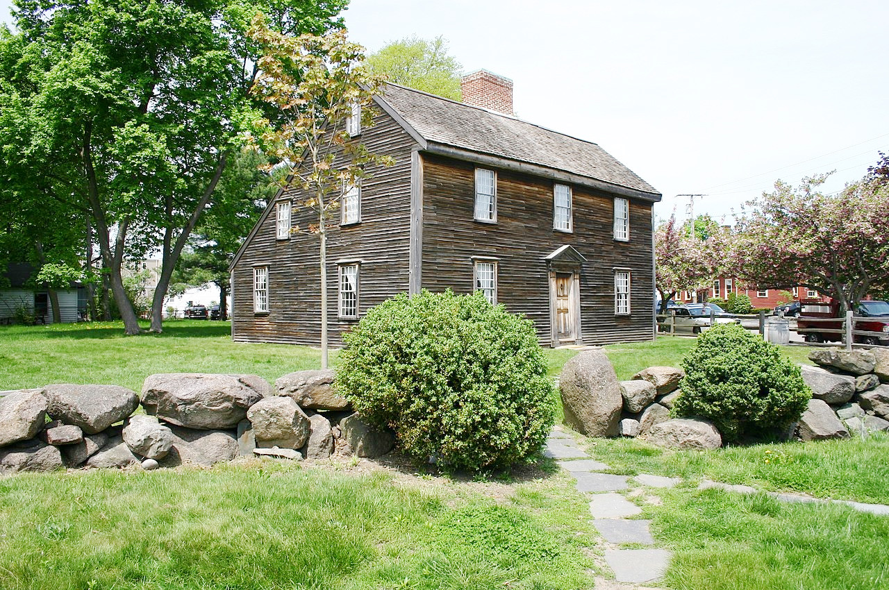 John Adams Birthplace in Quincy, Massachusetts
The official websites
Massachusetts
The Bay State
| Location: | Northeastern United States |
| Coordinates: | 42° 15′ N, 71° 45′ W |
| Size: | • 175 km N-S; 305 km E-W • 110 miles N-S; 190 miles E-W |
| Terrain: | Coastal lowlands including Cape Cod and offshore islands. Interior uplands; remnants of ancient mountains |
| Climate: | Moderately hot summers. Cold winters with heavy snowfall in the west |
| Highest point: | Mount Greylock 1,063 m / 3,489 feet |
| Forest: | 61% (2016) (source) |
| Population: | 6,892,503 (2019) |
| Population density: | High (324/km²) |
| Capital: | Boston |
| Languages: | English (78%); Spanish (9%) |
| Human Development Index: | Very High (0.956) |