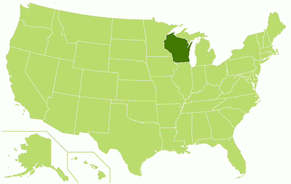
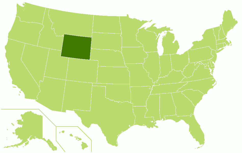
The Geography of the
United States
Why visit the United States?
The United States is a vast land that features mountains, deserts, plateaus, glaciers, lakes, rivers, caves, volcanoes, canyons, mesas, seashores, plains, and even geysers. The country has an openness and generosity of spirit to newcomers. Visitors will find a dynamic, adventurous, warm people who will accept you on your own terms.
Map
 Relief map of the United States
The fifty states
What is the nature of the United States like?
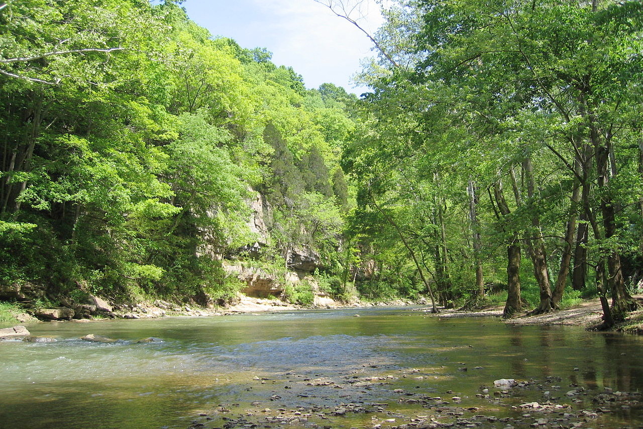
The natural enviroment of the United States has great variety and a wealth of species. This is especially noticeable in the trees, of which there are hundreds of species. There are also great differences between the various parts of the country, not only the climatic differences as one passes from south to north, but also between the eastern and western regions. Many of the most common trees, shrubs, and herbs of the Eastern States are unknown on the Pacific Coast. Equally, most of the characteristic species in the West are absent in the East. It is in the East that one finds the greatest local variety in vegetation, hundreds of widely different forms growing in luxuriant profusion side by side within narrow areas, while in the West there is much greater uniformity, immense areas being almost monopolized by a single species or at least a single type. The Eastern regions are also the great forested area of the country. West of the Mississippi the forests rapidly disappear as one approaches the Great Plains, and reappear only on the mountains. Indeed, in the entire Western half of the country, with the exception of the northern part of the Pacific Coast, the forests are confined to the mountain slopes above a certain altitude, all the great valleys and lowlands being treeless except where irrigated.
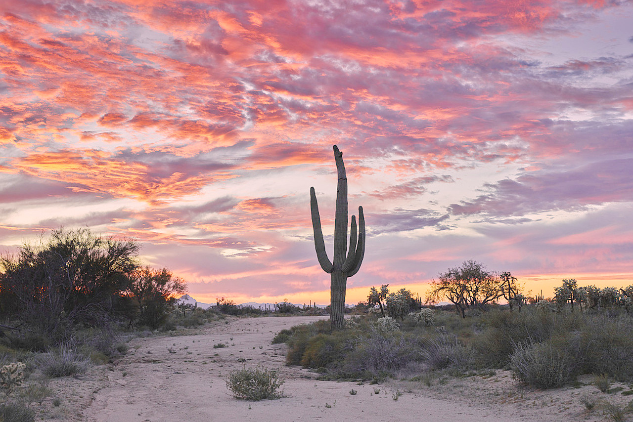
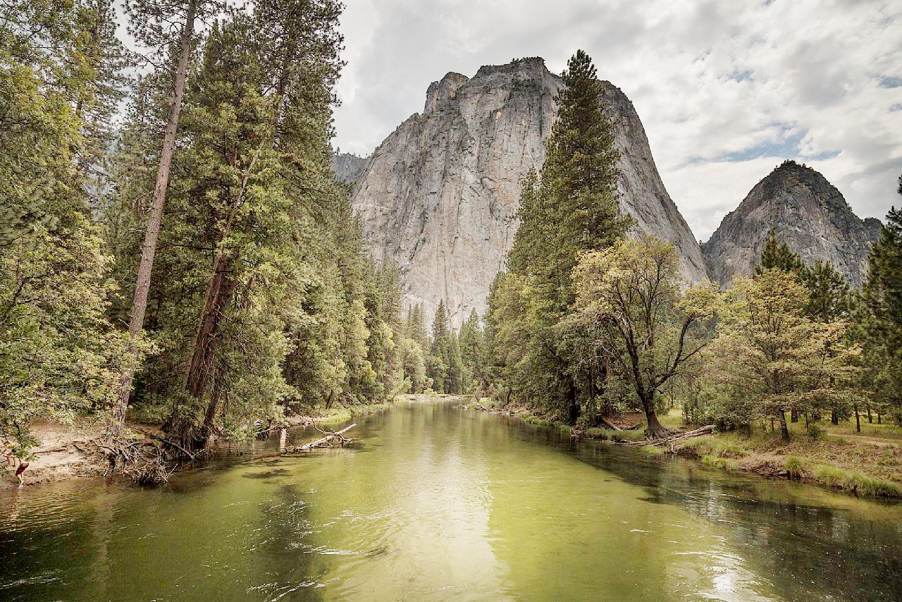
The Appalachian Region has probably the most varied and luxuriant vegetation of all regions within the temperate zones. This is due partly to the abundant rainfall coupled with the great and prolonged summer heat. In the Great Plains grass predominates, but mixed with asters, sunflowers, and a number of other similar plants, while cottonwood and willows grow along the rivers. In the Western plains the grasses give place to the sagebrush, and in the semi-desert areas of the South, to yuccas and cacti. The flora of southern Florida is closely related to that of the West Indies; it consists largely of mangrove and cypress swamps and palm woods, with a profusion tropical species. The Rocky Mountains are covered with coniferous forests, and in the lofty Sierras of California the trees are especially remarkable for their gigantic trees.
What is the climate of the United States like?
See our main article: The Climate of the United States
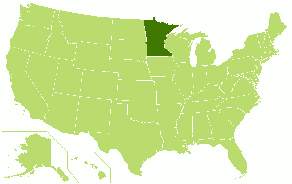
The greater part of the United States proper has a temperate or continental climate. The average annual temperatures vary from somewhat less than 50°F (10°C) on the northern border to 75°F (24°C) in the extreme southeast. The whole country is exposed to great annual differences in temperature. The average maximum temperatures is as high as 115° to 120°F (46 to 49°C) in the drier portions of Texas and Arizona, and the average minimum falls as low as -40°F (-40°C) in northern Minnesota. The climate of the United States is controlled very largely by its characteristic winds. In January these are from the west, but in July southeast winds prevail in the Southern States, which penetrate up the eastern slope of the Rocky Mountain range, but finally turn eastward with the westerly winds of the northern parts of this region.
One of the most notable features in the climate of the United States is the great contrast between the Atlantic and Pacific coasts. In general the Pacific coast is under the influence of south and west winds, which bring abundant winter rains to northern California, Oregon, and Washington without severe cold weather. On the Atlantic coast the winter rains and snows are followed by very cold weather. Another striking fact in the climate of the United States is the great contrast in rainfall. The heaviest rain occurs on the coast of Oregon and Washington; next to this are the humidity and rainfall of the coasts of Florida and the adjacent States. Throughout the Mississippi Valley and along the Atlantic coast there are great fluctuations in rainfall. On the average the driest portion of the continent extends from southern California and Arizona eastward over the eastern slopes of the Rocky Mountain region. Not only is the rainfall here a minimum, but the humidity of the atmosphere is also very small with clear skies.
| Climate data for Washington D.C. (1991−2020) | |||||||||||||
|---|---|---|---|---|---|---|---|---|---|---|---|---|---|
| Month | Jan | Feb | Mar | Apr | May | Jun | Jul | Aug | Sep | Oct | Nov | Dec | Year |
| Average high °F (°C) | 44.8 (7.1) | 48.3 (9.1) | 56.5 (13.6) | 68.0 (20.0) | 76.5 (24.7) | 85.1 (29.5) | 89.6 (32.0) | 87.8 (31.0) | 80.7 (27.1) | 69.4 (20.8) | 58.2 (14.6) | 48.8 (9.3) | 67.8 (19.9) |
| Daily mean °F (°C) | 37.5 (3.1) | 40.0 (4.4) | 47.6 (8.7) | 58.2 (14.6) | 67.2 (19.6) | 76.3 (24.6) | 81.0 (27.2) | 79.4 (26.3) | 72.4 (22.4) | 60.8 (16.0) | 49.9 (9.9) | 41.7 (5.4) | 59.3 (15.2) |
| Average low °F (°C) | 30.1 (−1.1) | 31.8 (−0.1) | 38.6 (3.7) | 48.4 (9.1) | 58.0 (14.4) | 67.5 (19.7) | 72.4 (22.4) | 71.0 (21.7) | 64.1 (17.8) | 52.2 (11.2) | 41.6 (5.3) | 34.5 (1.4) | 50.9 (10.5) |
| Average precipitation inches (mm) | 2.86 (73) | 2.62 (67) | 3.50 (89) | 3.21 (82) | 3.94 (100) | 4.20 (107) | 4.33 (110) | 3.25 (83) | 3.93 (100) | 3.66 (93) | 2.91 (74) | 3.41 (87) | 41.82 (1,062) |
| Source: NOAA | |||||||||||||
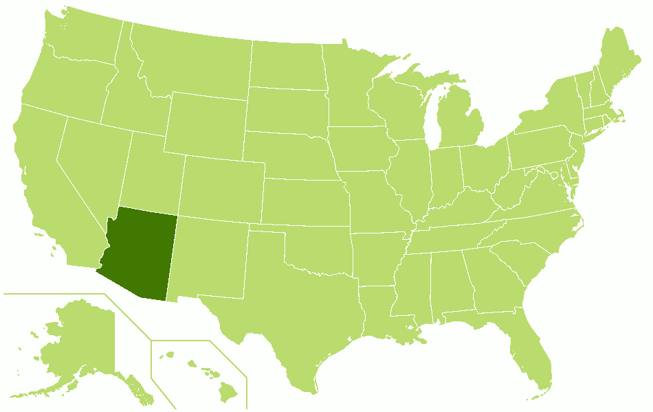
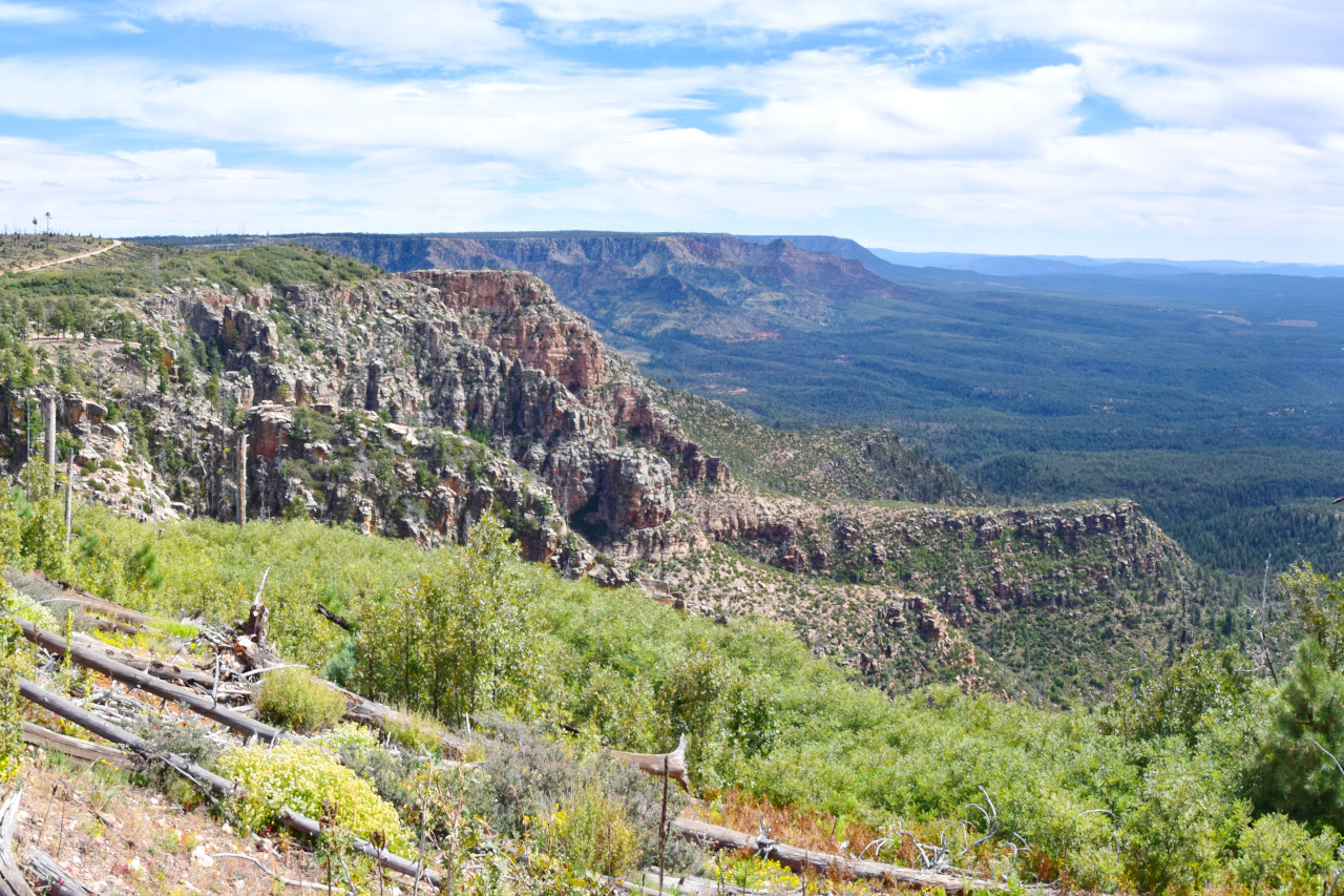 View from the top of Mogollon Rim in Arizona
The official websites
United States
All within your reach
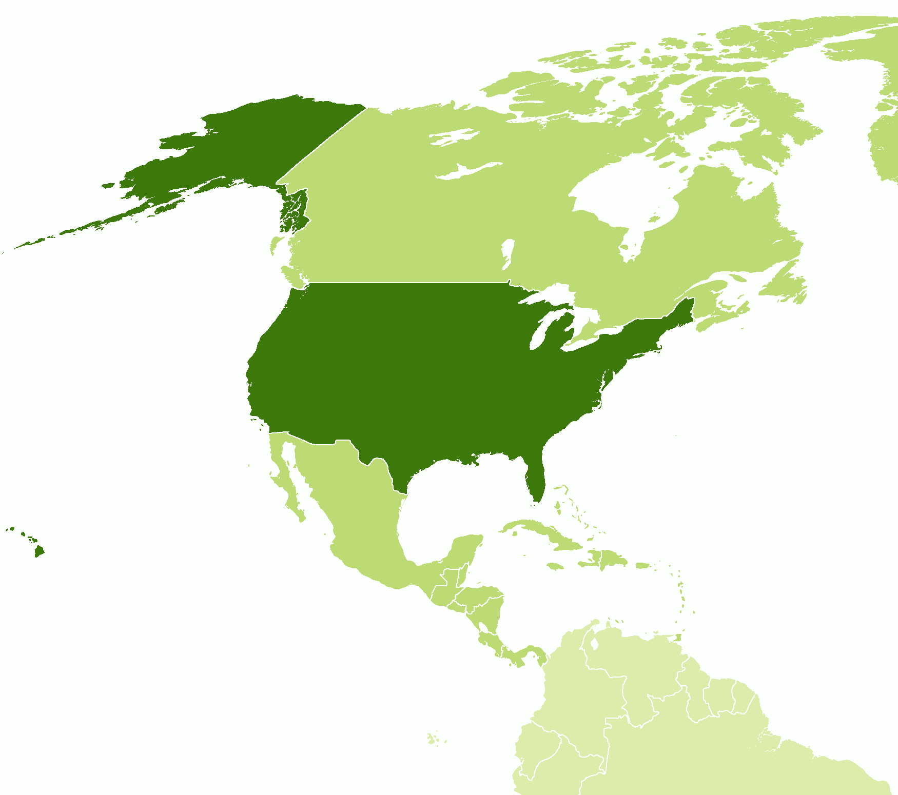
| Location: | Western Hemisphere on the continent of North America |
| Coordinates: | 37° 30′ N, 98° 30′ W |
| Size (the 48 states): | • 2600 km N-S; 4450 km E-W • 1600 miles N-S; 2800 miles E-W |
| Size (inc. Alaska and Hawaii): | • 4900 km N-S; 8700 km E-W • 3100 miles N-S; 5400 miles E-W |
| Terrain: | Coastal plains in the east rising to the Appalachian Mountains. A vast interior plain until the Rocky Mountains are reached in the west. Alaskan mountains in the N.W. of the continent. The Hawaiian islands are volcanic. |
| Climate: | Mainly a continental climate with hot summers and cold winters, becoming subtropical in the southeast, arid in the southwest. Alpine climate in the high mountains. The west coast has a Mediterranean or maritime climate |
| Highest point: | Denali 6,190 m / 20,310 ft |
| Forest: | 29% (2010 est.) (source) |
| Population: | 337,341,954 (2022 est.) |
| Population density: | Low (34/km²) |
| Capital: | Washington D.C. |
| Languages: | English only 78.2%, Spanish 13.4%, Chinese 1.1%, other 7.3% (2017 est.) |
| Human Development Index: | Very High (0.926) |
| Currency: | US Dollar |
.jpeg)
.jpeg)
