The Geography of
Western Australia
Why visit Western Australia?
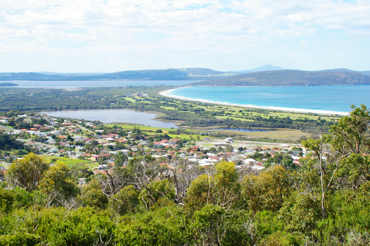
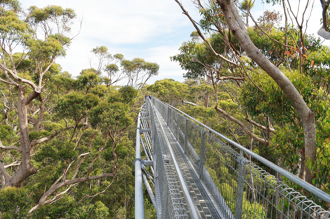
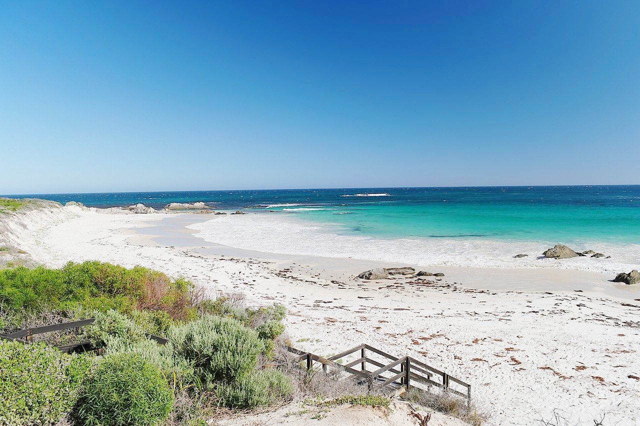
Western Australia is one of the most beautiful regions on Earth with a lot to offer. The landscape is simply stunning, from the coastline to the barren outback, everything is spectacular. The south has tall-tree forests, amazing caves, wild coastline and endearing small towns. The interior is a gigantic wilderness area laced with gorges, desert sands and waterfalls.
Contents
Map
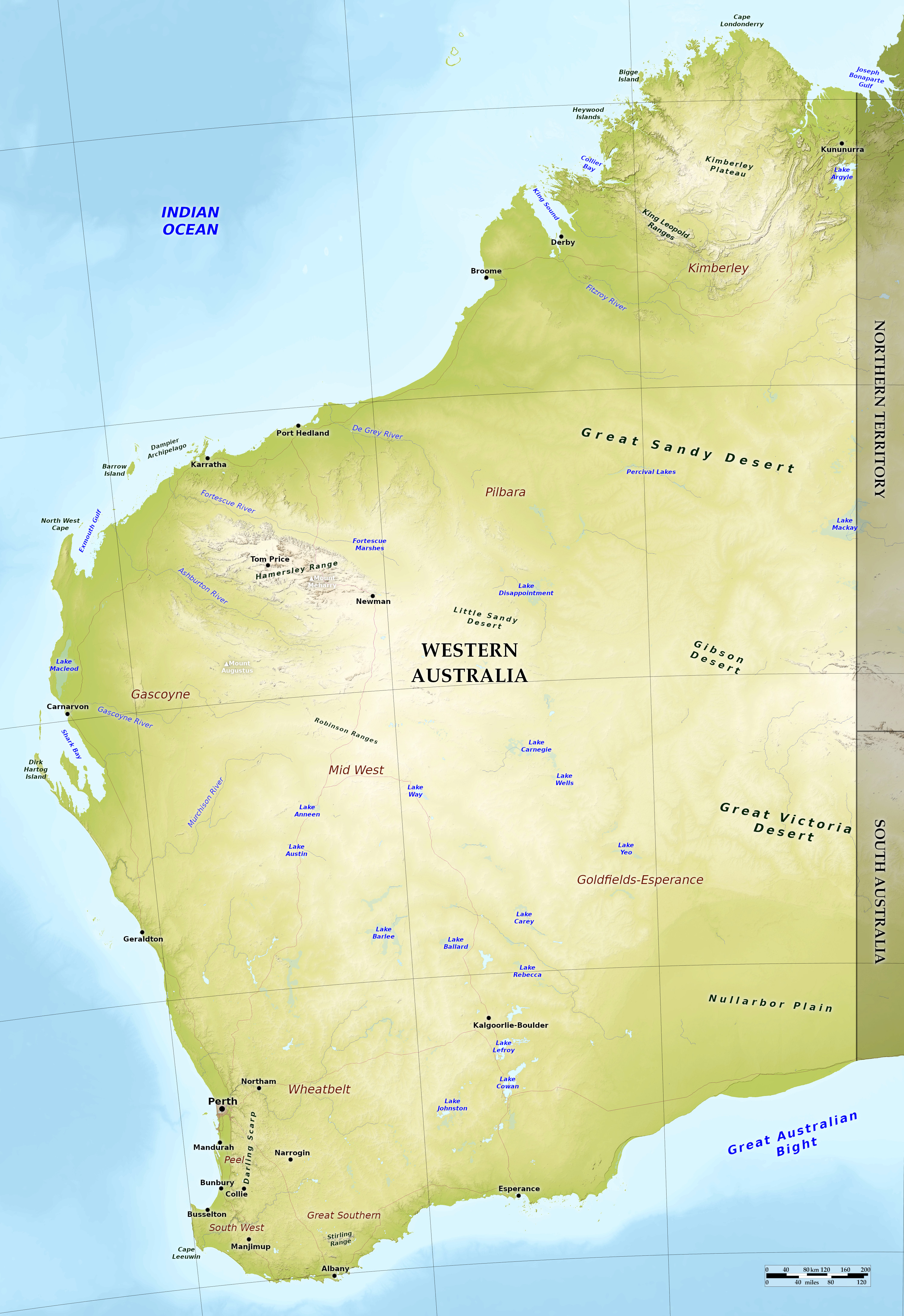 Relief map of Western Australia
What is the landscape of Western Australia like?
Western Australia is one of the most sparsely settled regions in the world. Most of it is wholly uninhabited, the population being confined mainly to portions of the coast region, especially the southwest, and the gold-mining settlements in the interior. Low mountain ranges can be found in the southwest—the Stirling and Darling ranges along the southwest coast; although the highest mountains can be found in the Hamersley Range in the northwest where Mount Meharry reaches a height of 1,249 m (4,098 feet).
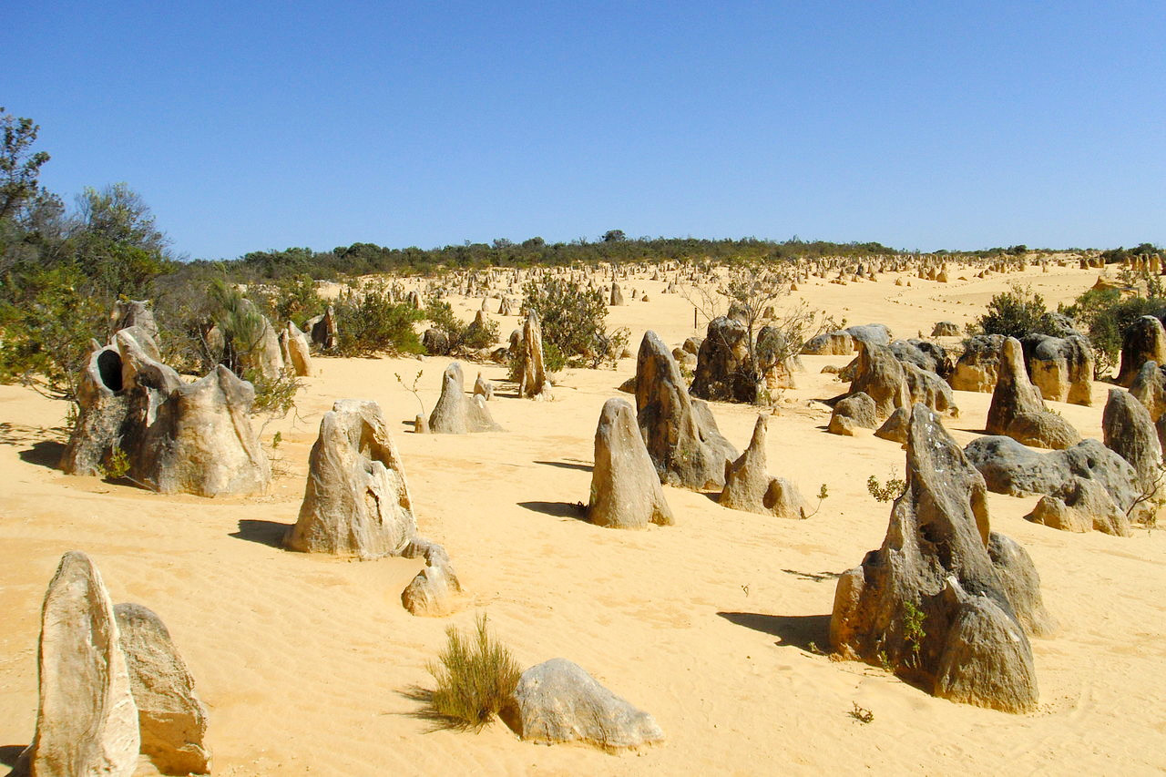
The interior consists mainly of undulating sand or sandstone plateaus broken by isolated sandstone ranges, sand hills, and wind-blown ridges. The southeastern part of the State consists of a limestone plateau about 200 miles wide and ending in a line of steep cliffs running for several hundred miles along the southern coast. The extreme northern part of the State, known as the Kimberley District, consists of elevated plains in the interior, falling toward the coast in several lines of steep and rugged escarpments broken by deep ravines.
The coasts of Western Australia have few bays or harbors. Along the south coast not a single river enters the sea for about 600 miles from the eastern boundary. On the west coast, however, there are a number of rivers, some of considerable size, such as the Murchison, Gascoyne, Ashburton, and Fitzroy. Most of the smaller rivers are little more than storm-water channels, dry the greater part of the year. In the interior there are a number of so-called lakes, which in the dry season are nothing but mud flats covered with incrustations of salt.
What is the nature of Western Australia like?
The southwestern section of the State is a great forest region, in which the eucalyptus grows to an immense height. The interior, however, consists mainly of sandy and stony desert, partly barren, partly covered with acacia scrub and spiny grass, and almost destitute of surface water.
What is the climate of Western Australia like?
The climate of Western Australia is hot and very dry. The range of temperature is considerable, and frost may occur in winter. The southeastern plateau is covered with rich grass during the wet season, and greenery is also found in the upper valleys of the western rivers.
| Climate data for Perth (1993–2020) | |||||||||||||
|---|---|---|---|---|---|---|---|---|---|---|---|---|---|
| Month | Jan | Feb | Mar | Apr | May | Jun | Jul | Aug | Sep | Oct | Nov | Dec | Year |
| Average high °C (°F) | 31.2 (88.2) | 31.5 (88.7) | 29.6 (85.3) | 26.0 (78.8) | 22.3 (72.1) | 19.5 (67.1) | 18.5 (65.3) | 19.1 (66.4) | 20.5 (68.9) | 23.4 (74.1) | 26.7 (80.1) | 29.4 (84.9) | 24.8 (76.6) |
| Daily mean °C (°F) | 24.7 (76.5) | 24.9 (76.8) | 23.2 (73.8) | 19.9 (67.8) | 16.4 (61.5) | 14.1 (57.4) | 13.2 (55.8) | 13.7 (56.7) | 15.1 (59.2) | 17.5 (63.5) | 20.5 (68.9) | 22.9 (73.2) | 18.8 (65.9) |
| Average low °C (°F) | 18.1 (64.6) | 18.3 (64.9) | 16.8 (62.2) | 13.8 (56.8) | 10.4 (50.7) | 8.6 (47.5) | 7.9 (46.2) | 8.3 (46.9) | 9.6 (49.3) | 11.6 (52.9) | 14.3 (57.7) | 16.4 (61.5) | 12.8 (55.0) |
| Average rainfall mm (inches) | 18.5 (0.73) | 14.3 (0.56) | 20.4 (0.80) | 35.4 (1.39) | 87.7 (3.45) | 127.3 (5.01) | 142.3 (5.60) | 124.4 (4.90) | 82.7 (3.26) | 37.7 (1.48) | 24.2 (0.95) | 10.4 (0.41) | 730.9 (28.78) |
| Source: Australian Bureau of Meteorology | |||||||||||||
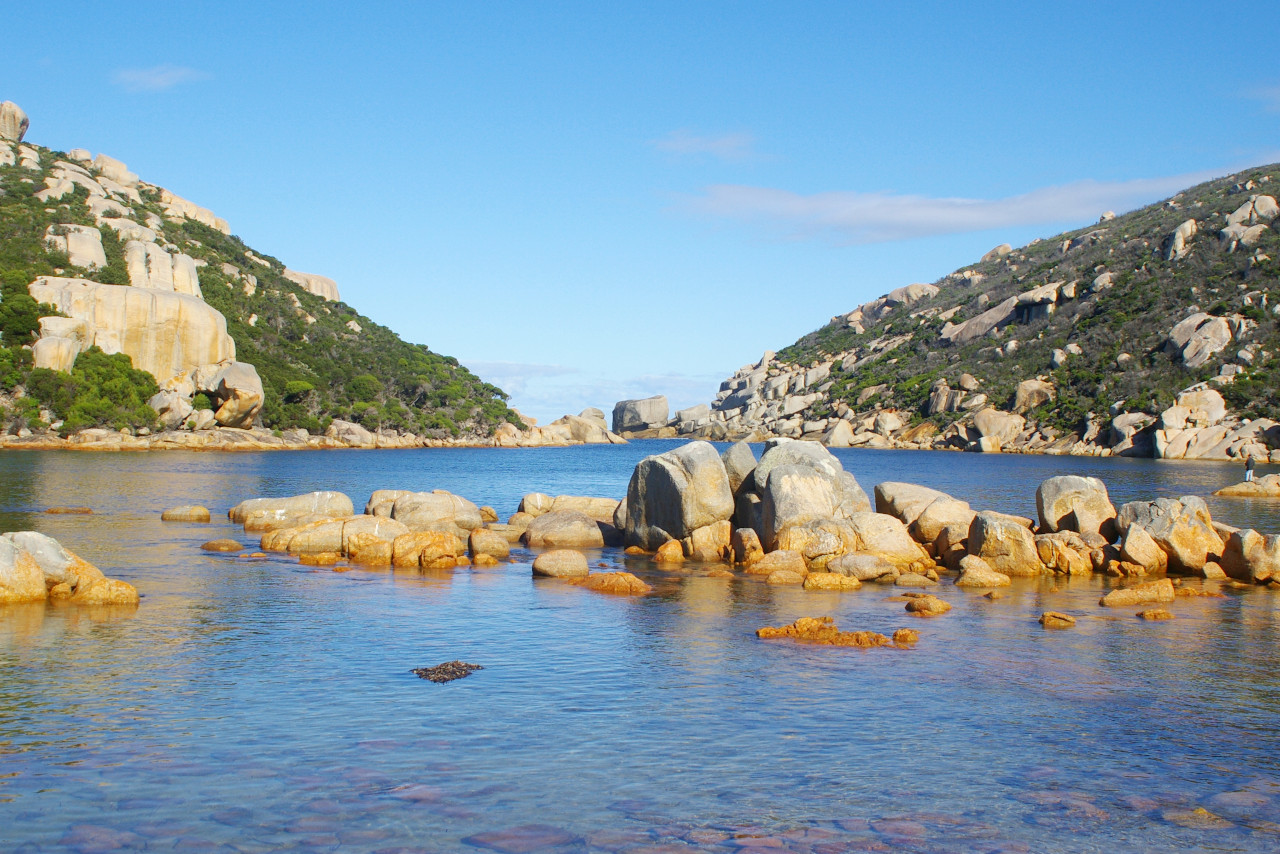 Waychinicup inlet at Waychinicup National Park
The official websites
Western Australia
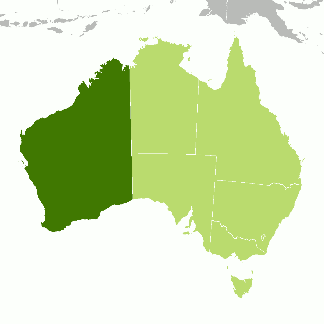
The Wildflower State
| Location: | Westernmost state of Australia |
| Coordinates: | 25° 45′ S, 121° 30′ E |
| Size: | • 2420 km N-S; 1680 km E-W • 1500 miles N-S; 1040 miles E-W |
| Terrain: | Mostly a large desert plateau with a few hill and mountain ranges |
| Climate: | Hot, dry, desert conditions in the interior. Tropical climate in the far north. Mediterranean climate in the southwest with summer drought |
| Highest point: | Mount Meharry 1,249 m / 4,098 ft |
| Forest: | 8% (2018) (source) |
| Population: | 2,681,600 (2021) |
| Population density: | Very low (1.0/km²) |
| Capital: | Perth |
| Languages: | English |
| Human Development Index: | Very High (0.960) |
