The Geography of
South Australia
Why visit South Australia?
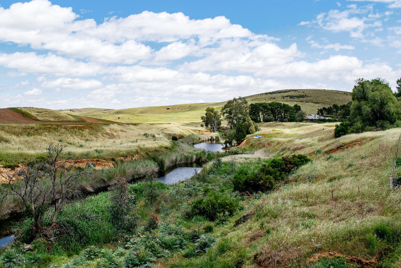
South Australia is a beautiful region which offers stunning scenery. One of the great attractions of the state is the landscape. With its mountain ranges, clear rivers, and sweeping deserts, South Australia is a natural beauty lover's paradise. The coast is renowned for its limestone cliffs and empty beaches, whereas in the east the photogenic Flinders Ranges rise from the semi-desert in a jagged spine.
Contents
Map
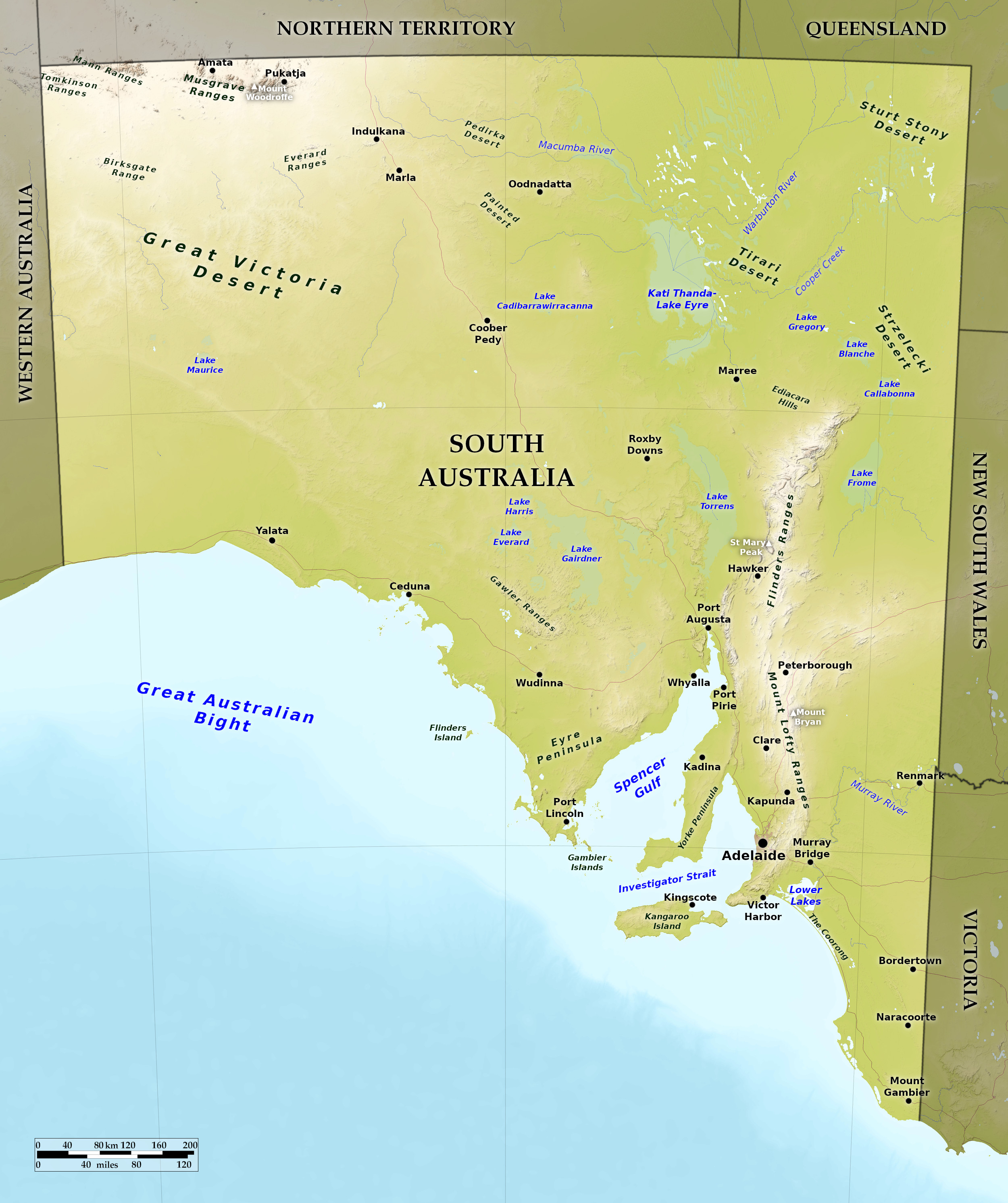 Relief map of South Australia
What is the landscape of South Australia like?
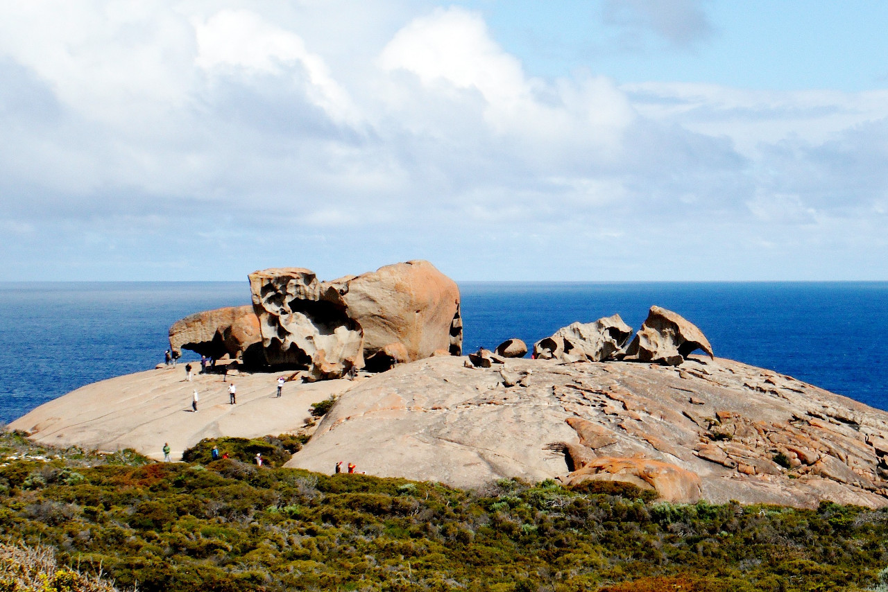
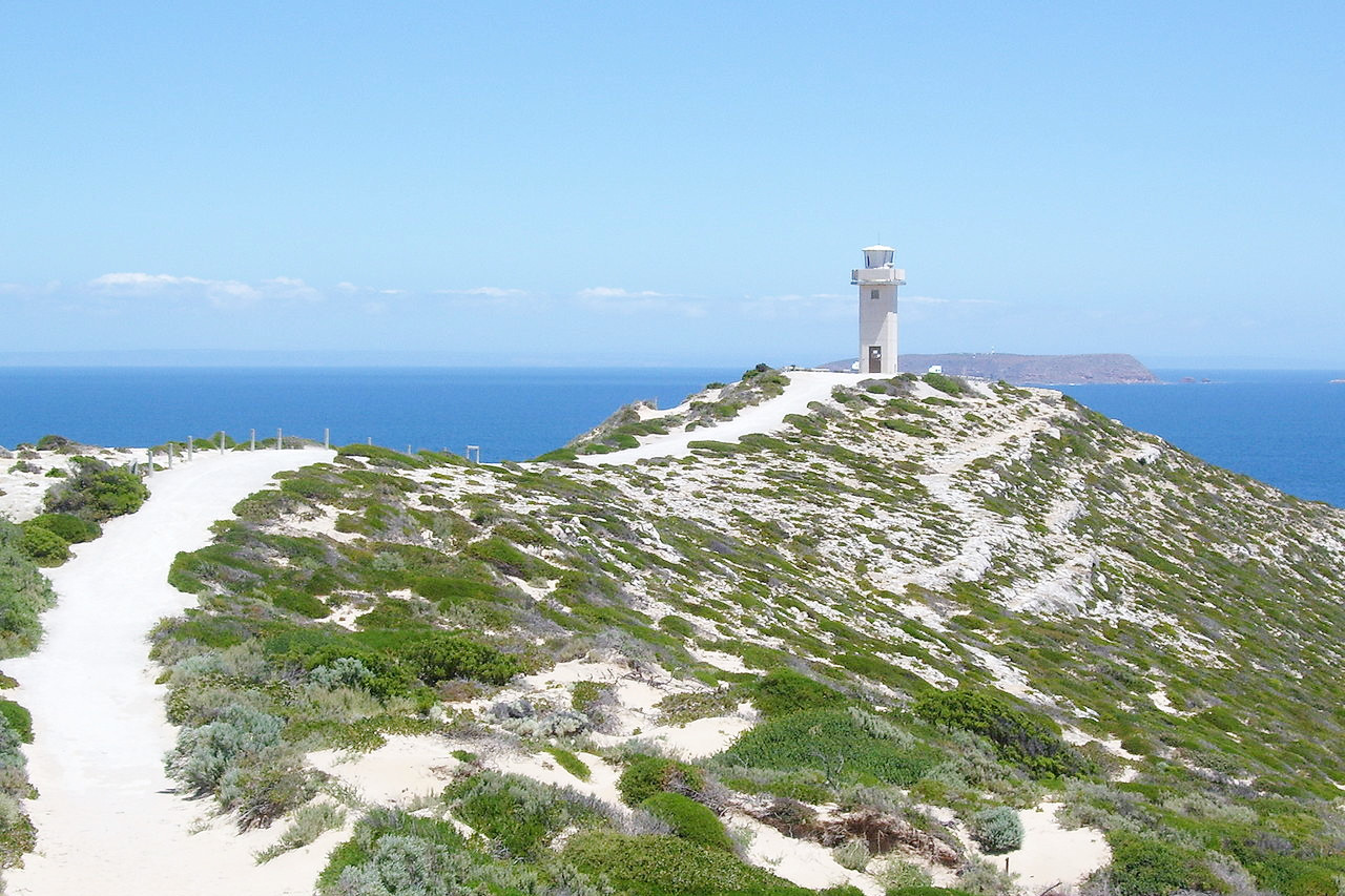
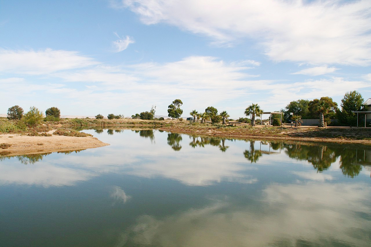
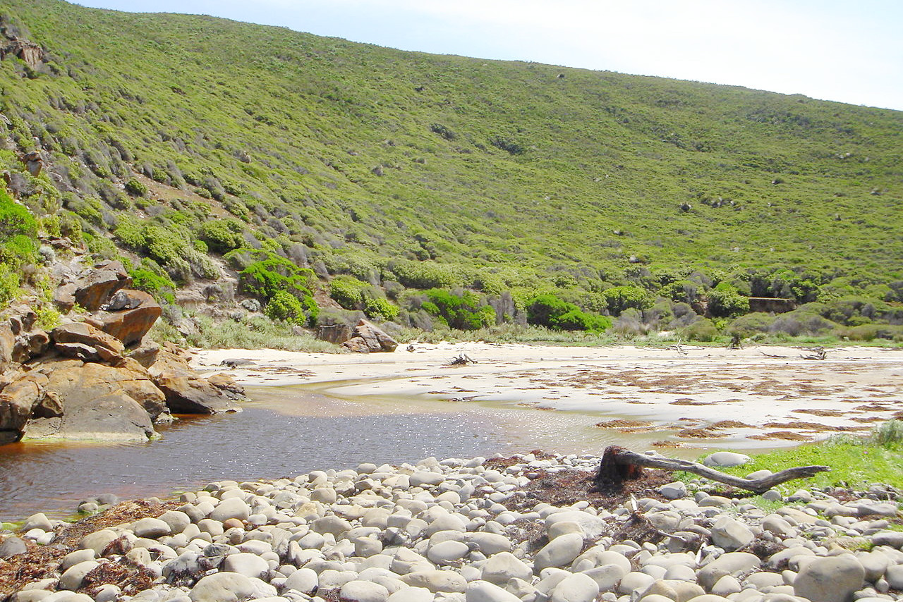
The coast of South Australia is dominated in the west by the broad sweep of the Great Australian Bight where there are a number of smaller bays. The main feature of the eastern coast however are the two large gulfs, Spencer Gulf and Gulf St Vincent—the first 180 miles long, the other 100 miles. Spencer Gulf is open to the ocean, while St Vincent Gulf is partly shielded by Kangaroo Island—the largest island of South Australia at 90 miles in length. Going eastward from Gulf St Vincent is Encounter Bay, where the Murray river reaches the ocean. The Coorong is the name given to the narrow lake of water, nearly 200 miles long, formed by the Murray and separated from the ocean by a very narrow strip of land.
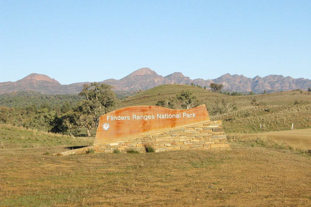
In the south of the State are the main mountain ranges of South Australia, which run north-to-south. The Mount Lofty Ranges, beginning at Cape Jervis, runs parallel with St Vincent's Gulf and at one or two points touches 900 meters (3,000 feet). The Flinders Range rises on the eastern shores of Spencer Gulf and extends north for several hundred miles; there are in this range several peaks which attain 1,000 meters (3,300 feet), the highest being St Mary Peak at 1,189 meters (3,901 feet). The Gawler Ranges, running across Eyre Peninsula, are a lower set of hills attaining a height of about 450 meters (1,500 feet). The highest peaks though are in the far northwest of the State where Mount Woodroffe reaches 1,435 meters (4,708 feet).
The remainder of the State is, on the whole, level or slightly undulating. In the interior there are a number of river courses, which are dry for a great part of the year, and even in the wet season are lost in marshes or salt lakes. In the great depression in the northeast there are a number of large lakes, several of them being 100 miles in length. They are brackish and shallow, being reduced during the dry season to marshes or mud-flats covered with salt.
What is the nature of South Australia like?
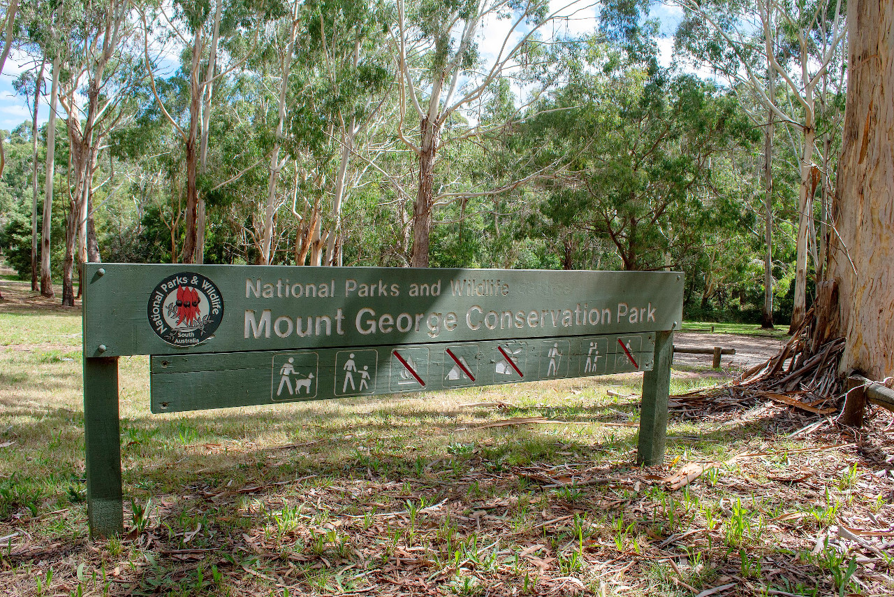
There are considerable areas of fertile land in the south, but the interior of South Australia consists largely of treeless plains, in some parts barren, stony or sandy, or covered with a dry scrub, but here and there becoming grasslands during the wet season. Trees, for the most part, are found near the mountains or larger river courses, and especially the hills of the southeast. The main trees are Eucalyptus and Acacia, with some pines. Flowering shrubs are common too.
What is the climate of South Australia like?
The climate of South Australia is, in general, hot and dry. The south of the State has a Mediterranean climate. In the southeast, the spring and winter seasons are very pleasant, although very high temperatures are sometimes registered in summer. In the interior districts, however, the heat is more intense. Rain is generally confined to the winter, but in the interior it is always very scarce.
| Climate data for Adelaide (1991–2020) | |||||||||||||
|---|---|---|---|---|---|---|---|---|---|---|---|---|---|
| Month | Jan | Feb | Mar | Apr | May | Jun | Jul | Aug | Sep | Oct | Nov | Dec | Year |
| Average high °C (°F) | 30.0 (86.0) | 29.7 (85.5) | 26.6 (79.9) | 23.0 (73.4) | 19.0 (66.2) | 16.2 (61.2) | 15.6 (60.1) | 16.7 (62.1) | 19.3 (66.7) | 22.5 (72.5) | 25.4 (77.7) | 27.6 (81.7) | 22.6 (72.7) |
| Daily mean °C (°F) | 23.8 (74.8) | 23.6 (74.5) | 21.0 (69.8) | 17.9 (64.2) | 14.6 (58.3) | 12.3 (54.1) | 11.7 (53.1) | 12.4 (54.3) | 14.6 (58.3) | 17.1 (62.8) | 19.8 (67.6) | 21.7 (71.1) | 17.5 (63.5) |
| Average low °C (°F) | 17.6 (63.7) | 17.5 (63.5) | 15.3 (59.5) | 12.7 (54.9) | 10.2 (50.4) | 8.3 (46.9) | 7.7 (45.9) | 8.1 (46.6) | 9.9 (49.8) | 11.7 (53.1) | 14.1 (57.4) | 15.8 (60.4) | 12.4 (54.3) |
| Average rainfall mm (inches) | 21.2 (0.83) | 20.0 (0.79) | 24.9 (0.98) | 37.6 (1.48) | 59.3 (2.33) | 77.7 (3.06) | 71.1 (2.80) | 66.9 (2.63) | 59.6 (2.35) | 40.0 (1.57) | 31.0 (1.22) | 28.3 (1.11) | 536.5 (21.12) |
| Source: Australian Bureau of Meteorology | |||||||||||||
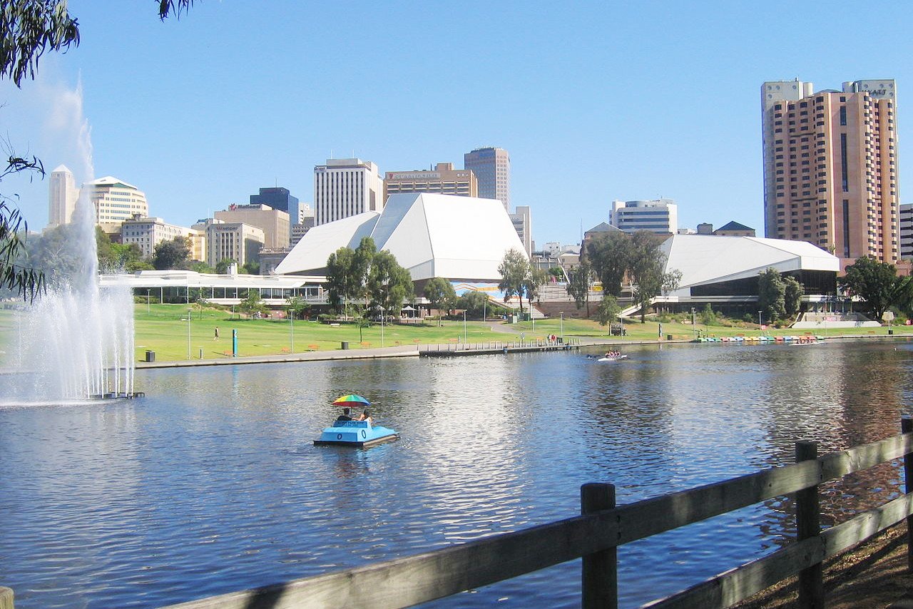 River Torrens in Adelaide
The official websites
South Australia
The Festival State
| Location: | South-central Australia |
| Coordinates: | 32° 30′ S, 135° 00′ E |
| Size: | • 1375 km N-S; 1155 km E-W • 850 miles N-S; 720 miles E-W |
| Terrain: | Coastal plain rising to an interior plateau. Some mountains in the southeast and far northwest |
| Climate: | Mediterranean climate in the southeast. Arid desert and semi-desert conditions elsewhere |
| Highest point: | Mount Woodroffe 1,435 m / 4,708 ft |
| Forest: | 5% (2018) (source) |
| Population: | 1,771,703 (2021) |
| Population density: | Very low (1.7/km²) |
| Capital: | Adelaide |
| Languages: | English |
| Human Development Index: | Very High (0.932) |