The Geography of
Manitoba
Why visit Manitoba?
Manitoba is a prairie province, but it is far from a featureless plain. In fact, over half of the province is forested, and it features the huge glacial lakes of Winnipeg, Winnipegosis, and Manitoba. The landscape is so varied, it is an ideal place to explore, whether you're looking for lakes and rolling hills or forested hills and rivers.
Contents
Map
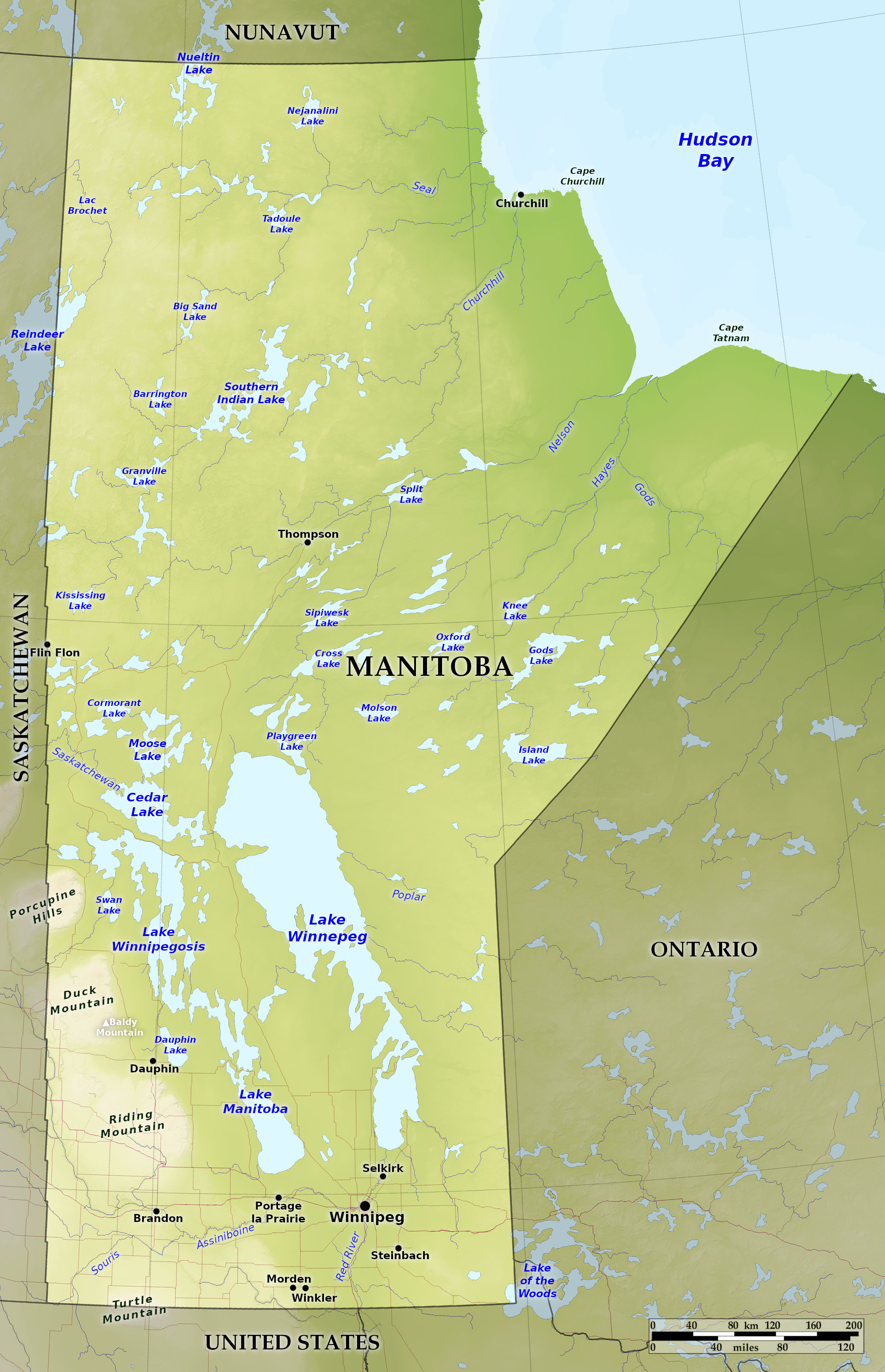 Relief map of Manitoba
What is the landscape of Manitoba like?
Manitoba belongs to the great central prairie region of Canada and the United States. The southeastern and central parts consist of an almost perfectly level landscape. It slopes very gently northward; its western boundary formed by a line of escarpments running southeast to northwest. This is the edge of a higher and undulating plain known as the Turtle, Riding, and Duck Mountains, and the Porcupine Hills, which all cover the southwestern parts of the province.
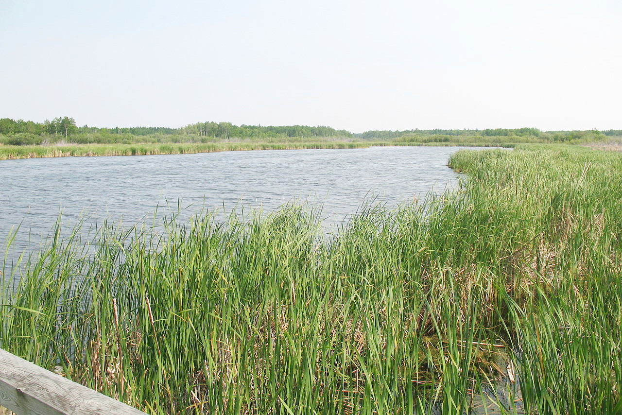
The principal river of the south is the Red River, which enters Manitoba from the south and flows through the prairies into Lake Winnipeg near the centre of the province. Its chief tributary is the Assiniboine, cutting through the western upland. Nearly all the rivers of the province have cut their beds through the soft glacial deposits, so that they flow in narrow valleys from 10 to nearly 30 meters (100 feet) below the surrounding plains. The lowest depressions are flooded and form the great lakes of Manitoba. These lakes are all of irregular shape, and are fresh, shallow and tideless. Of the largest, Lake Winnipeg is 270 miles long and from 20 to 60 miles wide; Lake Winnipegoosis 150 miles, and Lake Manitoba 135 miles long. Lake Manitoba is very shallow, and the shores of all are low and marshy.
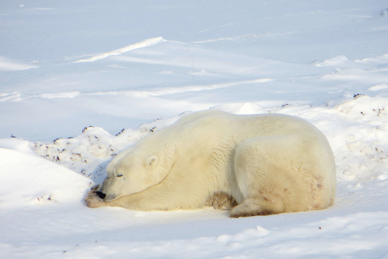
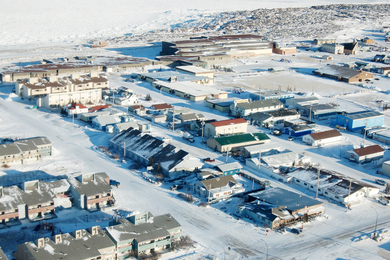
On the west shore of Hudson Bay lies Churchill, a town famous for the many polar bears that move toward the shore from inland during the polar bear season (October and November). Tourists also visit to watch beluga whales in the Churchill River in June and July. The area is also popular for birdwatchers and to view the aurora borealis.
What is the nature of Manitoba like?
Much of southern Manitoba is a prairie region, with treeless plains covered in summer with native prairie grasses, which grow luxuriantly. The river banks, however, are fringed with trees, and in the more undulating lands the woodland belts are up to 5 or 10 miles in width, forming at times forests. The chief trees are the aspen, the ash-leaved maple, oak, and many varieties of willow.
To the north Manitoba becomes gradually wooded, first along the river courses and in isolated clumps of poplars, and finally thickening into dense pine forests. In the extreme north, beyond the coniferous forest, lies the Arctic tundra. The reindeer, or caribou, here are plentiful, ranging down into the northern third of the province.
In the Churchill region, polar bears gather in October and early November, waiting on the vast peninsula until the water freezes on Hudson Bay so they can return to hunt their primary food source, ringed seals. In the summer months, thousands of beluga whales move into the warmer waters of the Churchill River estuary during July and August.
What is the climate of Manitoba like?
The climate of Manitoba is cold in winter and warm in summer. Winter, with cold but clear and bracing weather, usually sets in about the middle of November, and ends with March. In April and May the rivers have opened, and the snow has disappeared. July and August are warm, but, excepting some short heatwaves, not uncomfortably so; while the autumn weeks of late August and September are very pleasant.
| Climate data for Winnipeg (1981–2010) | |||||||||||||
|---|---|---|---|---|---|---|---|---|---|---|---|---|---|
| Month | Jan | Feb | Mar | Apr | May | Jun | Jul | Aug | Sep | Oct | Nov | Dec | Year |
| Average high °C (°F) | −11.3 (11.7) | −8.1 (17.4) | −0.8 (30.6) | 10.9 (51.6) | 18.6 (65.5) | 23.2 (73.8) | 25.9 (78.6) | 25.4 (77.7) | 19.0 (66.2) | 10.5 (50.9) | −0.5 (31.1) | −8.5 (16.7) | 8.7 (47.7) |
| Daily mean °C (°F) | −16.4 (2.5) | −13.2 (8.2) | −5.8 (21.6) | 4.4 (39.9) | 11.6 (52.9) | 17.0 (62.6) | 19.7 (67.5) | 18.8 (65.8) | 12.7 (54.9) | 5.0 (41.0) | −4.9 (23.2) | −13.2 (8.2) | 3.0 (37.4) |
| Average low °C (°F) | −21.4 (−6.5) | −18.3 (−0.9) | −10.7 (12.7) | −2.0 (28.4) | 4.5 (40.1) | 10.7 (51.3) | 13.5 (56.3) | 12.1 (53.8) | 6.4 (43.5) | −0.5 (31.1) | −9.2 (15.4) | −17.8 (0.0) | −2.7 (27.1) |
| Average precipitation mm (inches) | 19.9 (0.78) | 13.8 (0.54) | 24.5 (0.96) | 30.0 (1.18) | 56.7 (2.23) | 90.0 (3.54) | 79.5 (3.13) | 77.0 (3.03) | 45.8 (1.80) | 37.5 (1.48) | 25.0 (0.98) | 21.5 (0.85) | 521.1 (20.52) |
| Average snowfall cm (inches) | 23.7 (9.3) | 12.5 (4.9) | 16.5 (6.5) | 10.6 (4.2) | 2.6 (1.0) | 0.0 (0.0) | 0.0 (0.0) | 0.0 (0.0) | 0.3 (0.1) | 4.8 (1.9) | 19.9 (7.8) | 23.0 (9.1) | 113.7 (44.8) |
| Source: Environment and Climate Change Canada | |||||||||||||
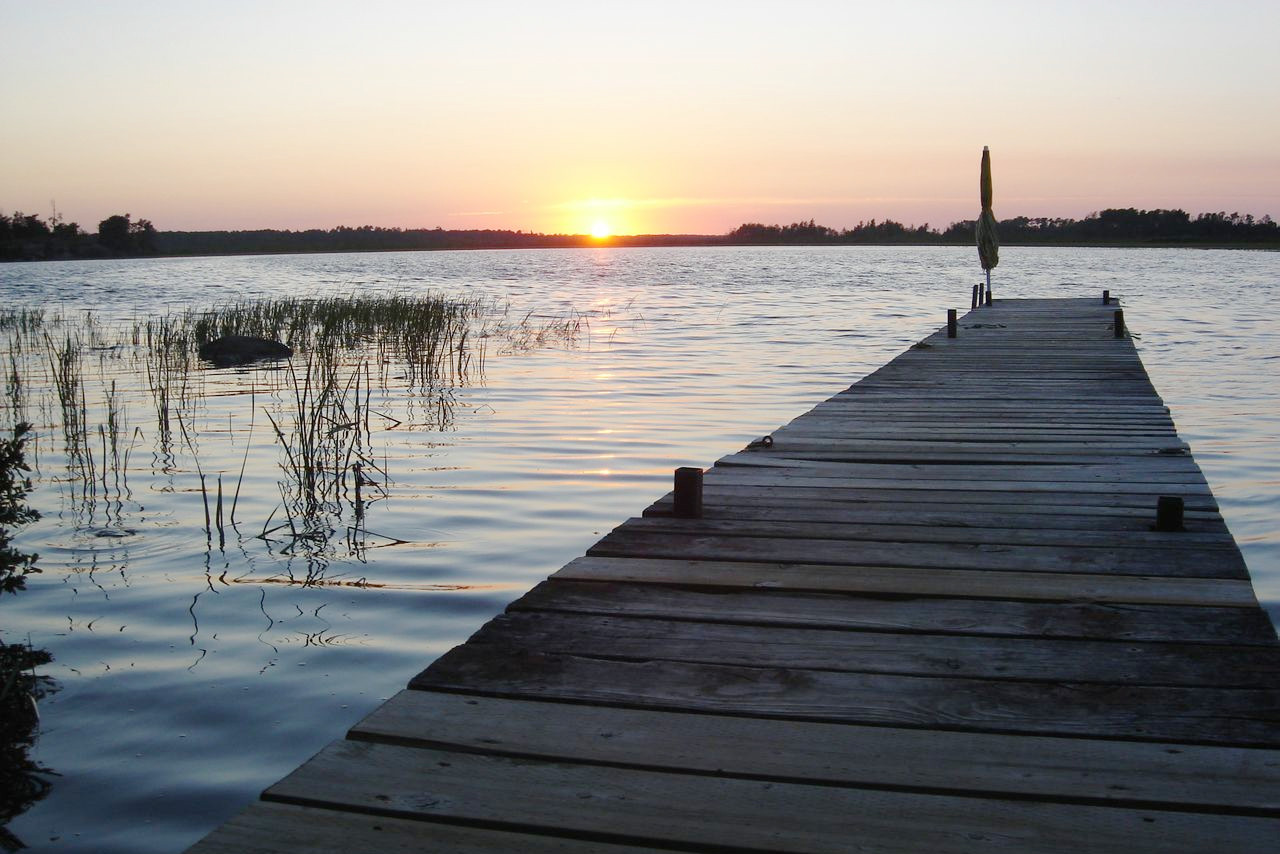
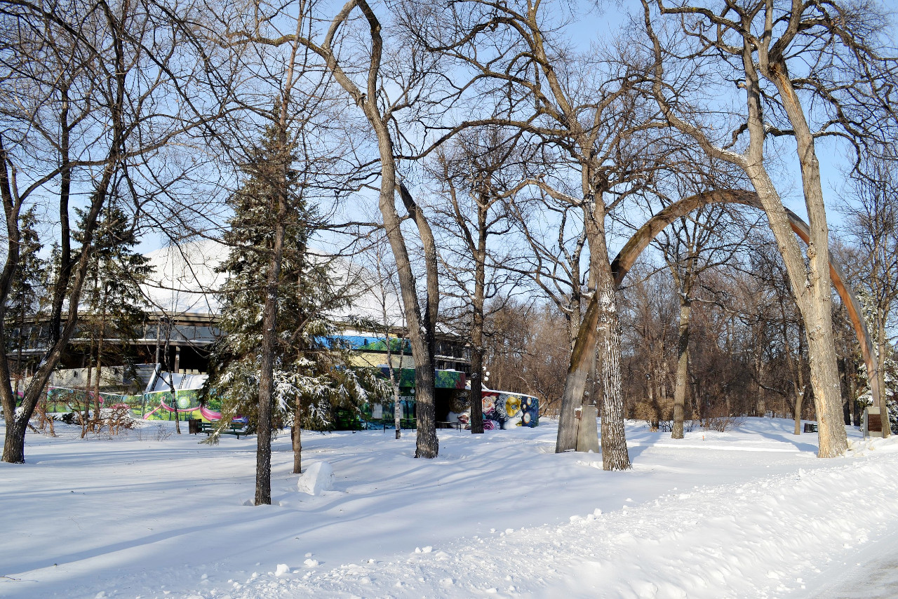
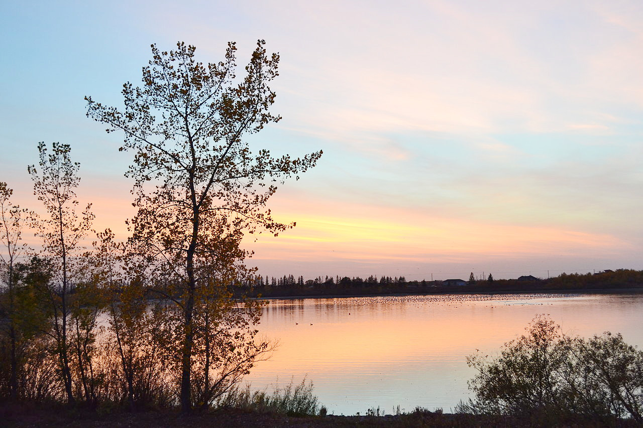 Sunset at FortWhyte, Winnipeg
The official websites
Manitoba
Friendly Manitoba
| Location: | Central Canada |
| Coordinates: | 55° 00′ N, 97° 00′ W |
| Size: | • 1220 km N-S; 790 km E-W • 760 miles N-S; 490 miles E-W |
| Terrain: | Prairie plains in the south becoming subarctic in the north. Numerous lakes. Low mountains in the southwest |
| Climate: | Continental climate: hot, dry summers; cold winters |
| Highest point: | Baldy Mountain 832 m / 2,730 ft |
| Forest: | 55% (2010) (source) |
| Population: | 1,380,935 (2021) |
| Population density: | Very Low (6/km²) |
| Capital: | Winnipeg |
| Languages: | English |
| Human Development Index: | Very High (0.905) |