
The Geography of
Saskatchewan
Why visit Saskatchewan?
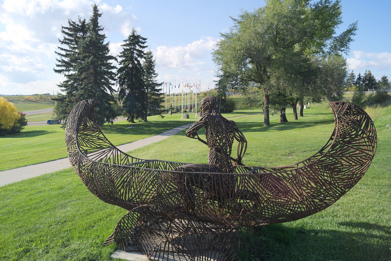
Saskatchewan is a beautiful province in western Canada. It has a stunning array of landscapes from prairies in the south, to the forests, lakes, and subarctic tundra of the north. In the middle of the province lies the rolling, forested landscape of Prince Albert National Park noted for its numerous lakes. Each season offers a new view to explore and admire.
Contents
Map
 Relief map of Saskatchewan
What is the landscape of Saskatchewan like?
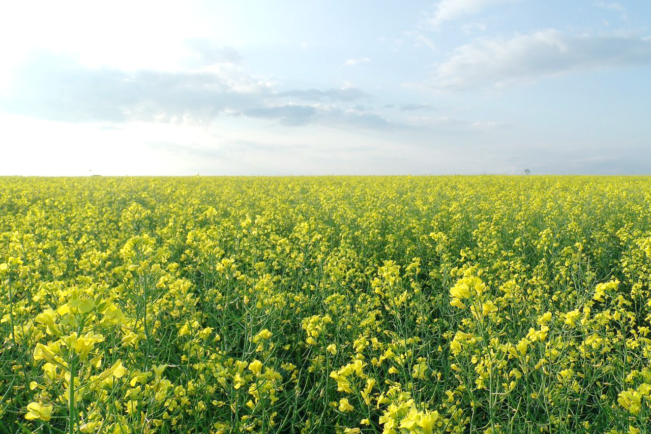
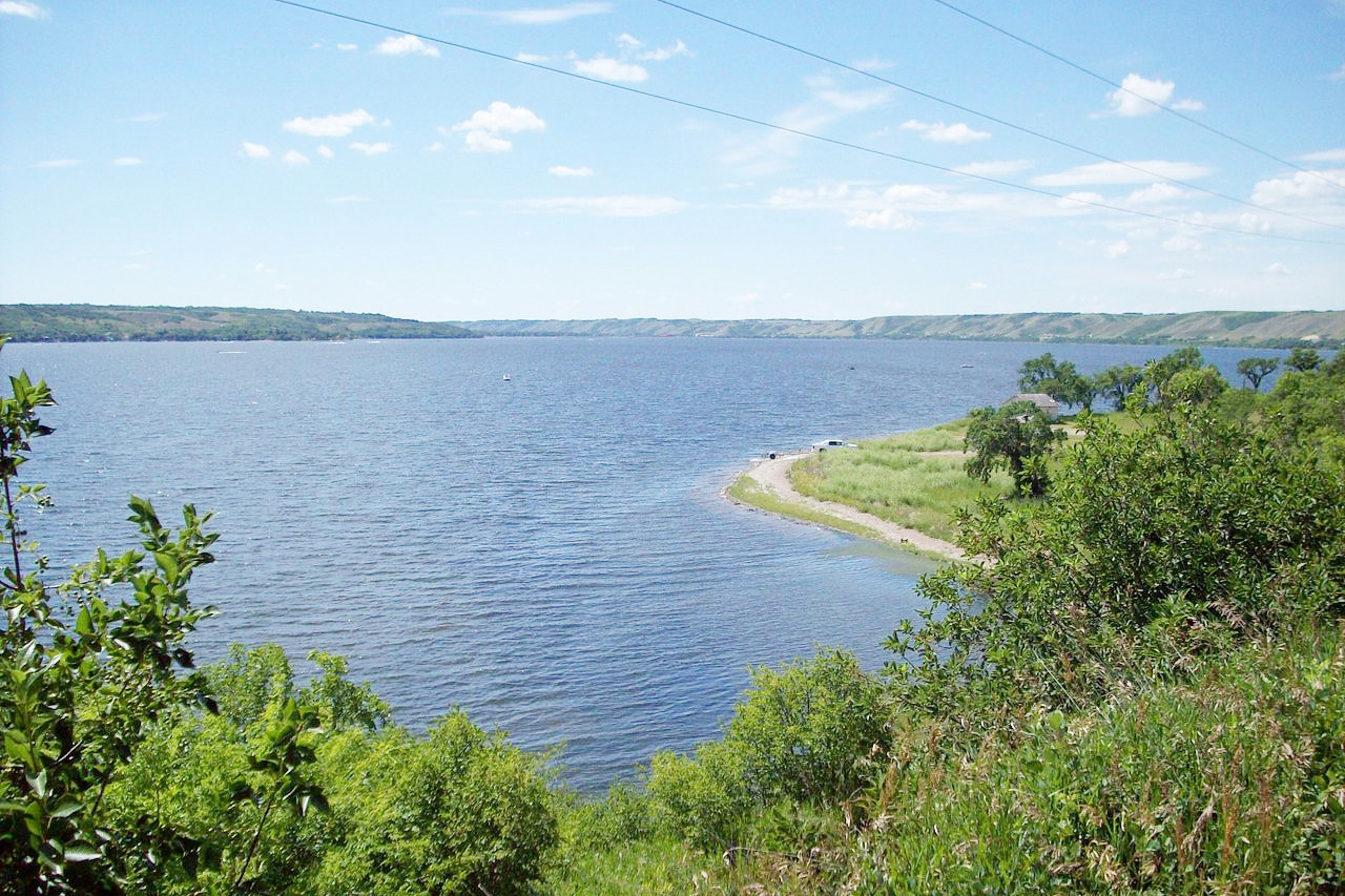
The landscape of Saskatchewan is a rolling prairie sloping to the east and broken at intervals by groups of hills. The altitude is markedly higher in the southwest corner, where the Cypress Hills approach the foothills of the Rockies. The south is a small proportion of the Great Plains of North America, and it may be described as a mixed prairie and wooded region, covered in grasslands. The main river of southern Saskatchewan is the river Qu’Appelle (“Who Calls?”) which runs eastward into Manitoba.
The central portion of the province is divided by the Saskatchewan River and by its principal branch, the North Saskatchewan River. North of the Saskatchewan River the surface of the province becomes heavily wooded, and this great forest continues through the region, the trees becoming dwarfed as it goes north. Prairie lakes are scattered throughout the province. In the north are two large lakes: Reindeer Lake, and northwest of this the easterly portion of Lake Athabasca, which is on the border with Alberta.
What is the nature of Saskatchewan like?
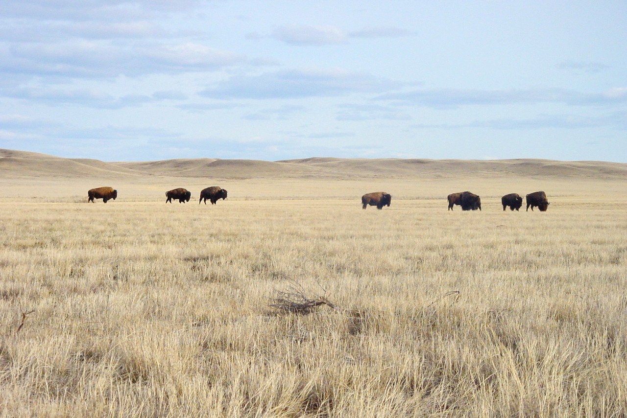
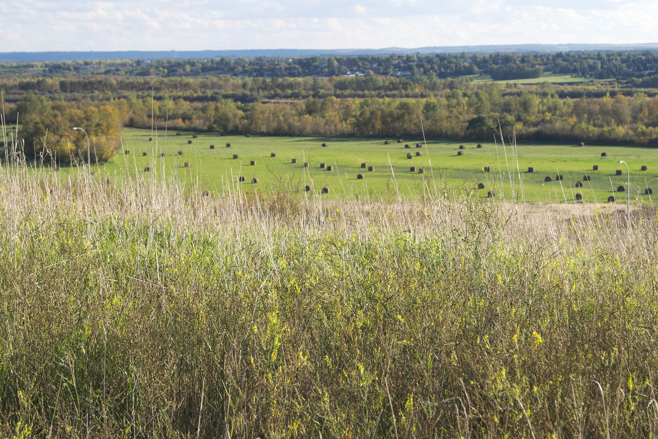
The southern half of Saskatchewan is prairie land, and in the main, only the hills being forested. Saskatchewan's southern plains were once covered by native prairie grass. The northern half of the province is well wooded with forests of aspen, poplar, pine, and spruce.
Western wheat grass, snowberry, and silver sage are common to Grasslands National Park, located in the extreme south. To the north, several types of berries and wildflowers, Labrador tea, and feather moss are commonly found under the aspens and black spruce trees of Prince Albert National Park.
What is the climate of Saskatchewan like?
Saskatchewan has a continental climate with a great range of climate and temperature. The southern third of Saskatchewan has a moderate and changeable climate; in the central third it is steady, while in the northern third, it can be severe. The southwestern part of the province is influenced much by the Chinook winds which come through Alberta from the Rocky Mountain valley. The climate here is dry. In southeastern Saskatchewan the prairie lies on a lower level, and the climate in winter is more steady. Rainfall is abundant throughout Saskatchewan, except the southwestern part which is rather dry.
| Climate data for Regina (1981–2010) | |||||||||||||
|---|---|---|---|---|---|---|---|---|---|---|---|---|---|
| Month | Jan | Feb | Mar | Apr | May | Jun | Jul | Aug | Sep | Oct | Nov | Dec | Year |
| Average high °C (°F) | −9.3 (15.3) | −6.4 (20.5) | 0.4 (32.7) | 11.6 (52.9) | 18.5 (65.3) | 22.8 (73.0) | 25.8 (78.4) | 25.5 (77.9) | 19.1 (66.4) | 11.0 (51.8) | 0.1 (32.2) | −7.1 (19.2) | 9.3 (48.7) |
| Daily mean °C (°F) | −14.7 (5.5) | −11.7 (10.9) | −4.8 (23.4) | 4.8 (40.6) | 11.3 (52.3) | 16.2 (61.2) | 18.9 (66.0) | 18.1 (64.6) | 11.8 (53.2) | 4.3 (39.7) | −5.2 (22.6) | −12.4 (9.7) | 3.1 (37.6) |
| Average low °C (°F) | −20.1 (−4.2) | −17.0 (1.4) | −9.9 (14.2) | −2.0 (28.4) | 4.1 (39.4) | 9.5 (49.1) | 11.9 (53.4) | 10.7 (51.3) | 4.6 (40.3) | −2.4 (27.7) | −10.5 (13.1) | −17.7 (0.1) | −3.2 (26.2) | Average precipitation mm (inches) | 15.3 (0.60) | 9.4 (0.37) | 19.7 (0.78) | 24.1 (0.95) | 51.4 (2.02) | 70.9 (2.79) | 66.9 (2.63) | 44.8 (1.76) | 32.8 (1.29) | 24.5 (0.96) | 14.2 (0.56) | 15.7 (0.62) | 389.7 (15.34) |
| Average snowfall cm (inches) | 19.4 (7.6) | 11.4 (4.5) | 18.8 (7.4) | 6.9 (2.7) | 3.6 (1.4) | 0.0 (0.0) | 0.0 (0.0) | 0.0 (0.0) | 0.7 (0.3) | 6.9 (2.7) | 13.0 (5.1) | 19.5 (7.7) | 100.2 (39.4) |
| Source: Environment and Climate Change Canada | |||||||||||||
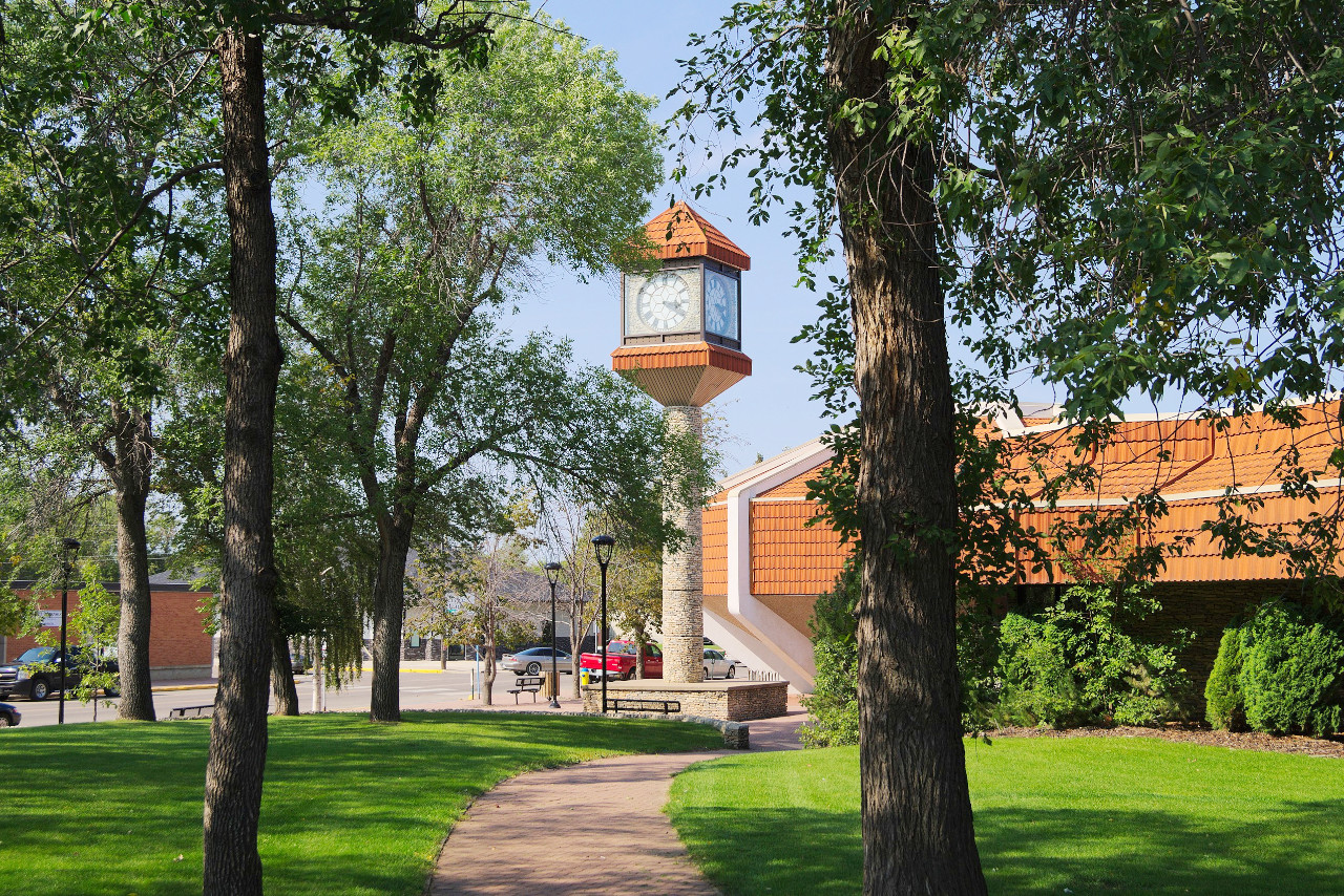
 Victoria Park, Regina
The official websites
Saskatchewan
Land of the Living Skies
| Location: | Western central Canada |
| Coordinates: | 54° 00′ N, 106° 00′ W |
| Size: | • 1220 km N-S; 630 km E-W • 760 miles N-S; 390 miles E-W |
| Terrain: | Prairie plains in the south becoming subarctic in the north with numerous lakes |
| Climate: | Continental climate: hot, dry summers; cold winters |
| Highest point: | Cypress Hills 1,468 m / 4,816 ft |
| Forest: | 39% (2010) (source) |
| Population: | 1,178,832 (2021) |
| Population density: | Very Low (5/km²) |
| Capital: | Regina |
| Languages: | English |
| Human Development Index: | Very High (0.921) |