The Climate of
Niger
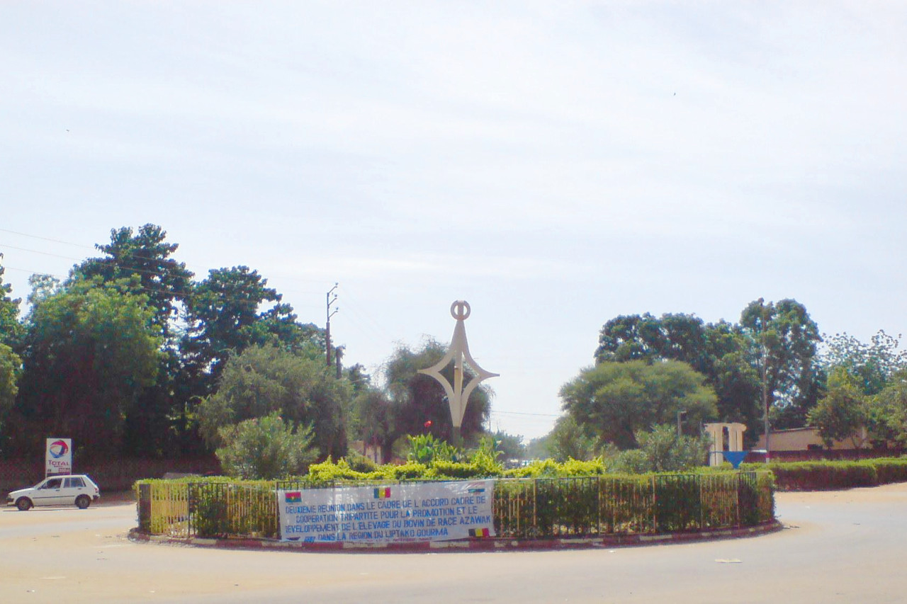
 Street in Niamey
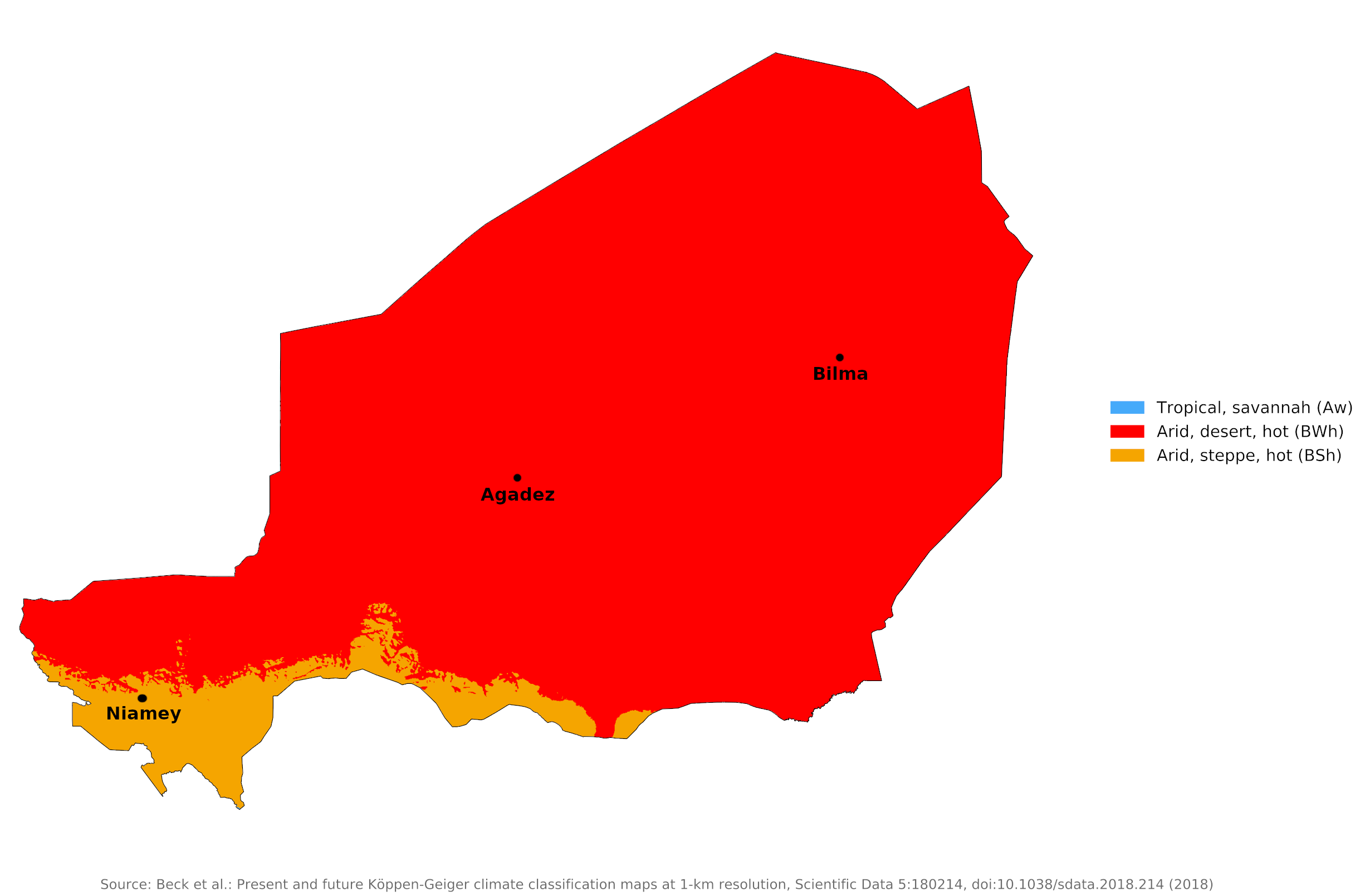
Climate Map
 Climate map of Niger
What is the climate of Niger like?
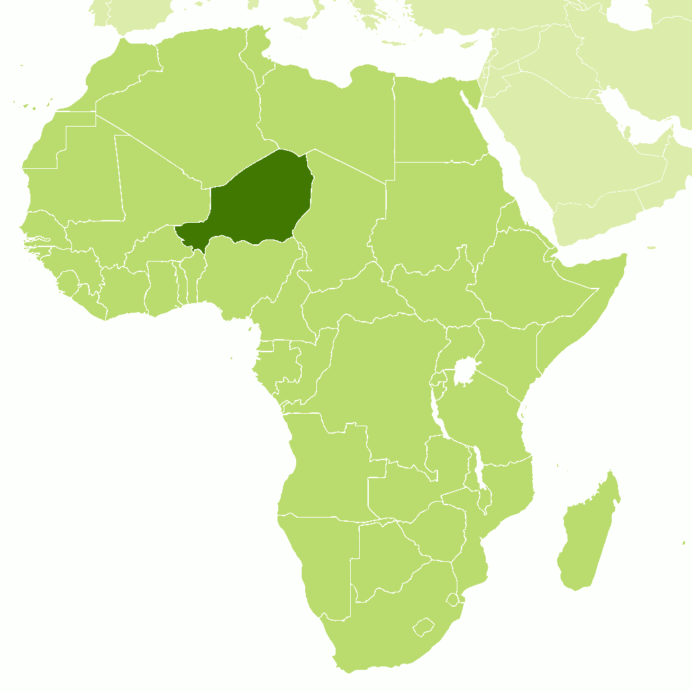
Niger is a relatively large country, about the size of Egypt, but with a small and sparse population. It is bordered on the north by Algeria and Libya, on the east by Chad, on the south by Nigeria and Benin, on the west by Burkina Faso and Mali. Located in the middle of North Africa, it includes a large part of the Sahara. The southern part of the country is in the Sahel belt in interior West Africa and has sparse to moderate but rather unreliable rainfall.
Niger is one of the hottest countries in the world. The country is naturally divided into three distinct regions: the south, the Sahelian belt, and the desert north. The southwest region is a fertile region around the Niger River. The arid transitional center, the Sahel, has sparse to moderate but rather unreliable rainfall. It separates Niger River valley from the harsh desert of the north. The north includes the Aïr Mountains and the plateaus of Djado, Tchigai, and Manguéni, as well as the Saharan sandy lowlands surrounding the Aïr Mountains. Niger has three basic climate zones centered on these three divisions.
The rainy season is between June and October; temperatures are high during this period, averaging around 31°C (88°F). From November the temperature starts to drop; a desert wind, the harmattan, lowers average temperatures to 21°C (70°F). Reddish sandstorms sweep across the countiy during this period. From February to July the dry and hot season sets in, with temperatures exceeding 40°C (104°F) and sometimes reaching a scorching 50°C (122°F) in the northeast.
The North
The intense heat of the Sahara often causes the sparse rainfall to evaporate before it hits the ground; at Bilma to the east, annual rainfall is only 13 millimeters (0.5 inches). The desert regions experience both the hottest temperatures and the greatest contrast between highs and lows. Between February and July, high temperatures can reach 50°C (122°F) on the plateaus in the Northeast. In January, readings can drop to a low of 8°C (46°F). The harmattan wind blows through the eastern desert most of the year.
| Climate data for Bilma | |||||||||||||
|---|---|---|---|---|---|---|---|---|---|---|---|---|---|
| Month | Jan | Feb | Mar | Apr | May | Jun | Jul | Aug | Sep | Oct | Nov | Dec | Year |
| Average high °C (°F) | 27.7 (81.9) | 31.9 (89.4) | 35.3 (95.5) | 40.6 (105.1) | 42.9 (109.2) | 44.1 (111.4) | 43.0 (109.4) | 42.1 (107.8) | 41.8 (107.2) | 39.1 (102.4) | 33.1 (91.6) | 28.7 (83.7) | 37.5 (99.6) |
| Daily mean °C (°F) | 18.2 (64.8) | 21.7 (71.1) | 24.9 (76.8) | 30.4 (86.7) | 33.5 (92.3) | 34.7 (94.5) | 34.3 (93.7) | 34.4 (93.9) | 32.7 (90.9) | 29.3 (84.7) | 22.7 (72.9) | 18.5 (65.3) | 27.9 (82.3) |
| Average low °C (°F) | 8.7 (47.7) | 11.4 (52.5) | 14.5 (58.1) | 20.1 (68.2) | 24.1 (75.4) | 25.3 (77.5) | 25.5 (77.9) | 26.6 (79.9) | 23.6 (74.5) | 19.5 (67.1) | 12.2 (54.0) | 8.3 (46.9) | 18.3 (65.0) |
| Average precipitation mm (inches) | 0.00 (0.00) | 0.00 (0.00) | 0.00 (0.00) | 0.00 (0.00) | 0.00 (0.00) | 0.00 (0.00) | 2.5 (0.10) | 7.6 (0.30) | 2.5 (0.10) | 0.00 (0.00) | 0.00 (0.00) | 0.00 (0.00) | 13 (0.50) |
| Source: Niger Climatology | |||||||||||||
The Sahel
In the middle of the country, rain is scarce and unreliable. In Agadez in the northern Sahel, annual rainfall averages 110 millimeters (4.5 inches), but annual totals often vary widely. Rainfall in the Aïr Mountains is limited to a maximum of 250 millimeters (10 inches) per year, and most of this falls in a single two-month period.
| Climate data for Agadez | |||||||||||||
|---|---|---|---|---|---|---|---|---|---|---|---|---|---|
| Month | Jan | Feb | Mar | Apr | May | Jun | Jul | Aug | Sep | Oct | Nov | Dec | Year |
| Average high °C (°F) | 27.9 (82.2) | 31.1 (88.0) | 35.0 (95.0) | 39.2 (102.6) | 41.3 (106.3) | 41.3 (106.3) | 39.1 (102.4) | 37.9 (100.2) | 38.9 (102.0) | 37.1 (98.8) | 32.4 (90.3) | 29.0 (84.2) | 35.8 (96.4) |
| Daily mean °C (°F) | 19.8 (67.6) | 22.5 (72.5) | 26.7 (80.1) | 31.2 (88.2) | 33.7 (92.7) | 33.8 (92.8) | 32.1 (89.8) | 31.0 (87.8) | 31.7 (89.1) | 29.4 (84.9) | 24.3 (75.7) | 21.0 (69.8) | 28.1 (82.6) |
| Average low °C (°F) | 11.7 (53.1) | 13.9 (57.0) | 18.3 (64.9) | 23.1 (73.6) | 26.0 (78.8) | 26.4 (79.5) | 25.1 (77.2) | 24.2 (75.6) | 24.5 (76.1) | 21.7 (71.1) | 16.2 (61.2) | 12.8 (55.0) | 20.3 (68.5) |
| Average precipitation mm (inches) | 0.0 (0.0) | 0.0 (0.0) | 0.1 (0.00) | 2.0 (0.08) | 5.5 (0.22) | 10.4 (0.41) | 35.2 (1.39) | 49.7 (1.96) | 8.2 (0.32) | 0.3 (0.01) | 0.0 (0.0) | 0.0 (0.0) | 111.4 (4.39) |
| Source: NOAA | |||||||||||||
The extreme South
Precipitation is higher in the south. There is a distinct rainy season during the high sun period. The average rainfall is moderate but rather unreliable. It averages 540 millimeters (21 inches) at Niamey in the southern Sahel and 800 millimeters (32 inches) at Gaya in the extreme south. The rainy season lasts from May to October, with heaviest rainfall in July and August. In Niamey, the average daily high temperature ranges from 31°C (88°F) in August to 41°C (106°F) in April. From November to February, nights are cool (below 20°C / 68°F).
| Climate data for Niamey (1961–1990) | |||||||||||||
|---|---|---|---|---|---|---|---|---|---|---|---|---|---|
| Month | Jan | Feb | Mar | Apr | May | Jun | Jul | Aug | Sep | Oct | Nov | Dec | Year |
| Average high °C (°F) | 32.5 (90.5) | 35.7 (96.3) | 39.1 (102.4) | 40.9 (105.6) | 40.2 (104.4) | 37.2 (99.0) | 34.0 (93.2) | 33.0 (91.4) | 34.4 (93.9) | 37.8 (100.0) | 36.2 (97.2) | 33.3 (91.9) | 36.2 (97.2) |
| Daily mean °C (°F) | 24.3 (75.7) | 27.3 (81.1) | 30.9 (87.6) | 33.8 (92.8) | 34.0 (93.2) | 31.5 (88.7) | 29.0 (84.2) | 27.9 (82.2) | 29.0 (84.2) | 30.8 (87.4) | 27.9 (82.2) | 25.0 (77.0) | 29.3 (84.7) |
| Average low °C (°F) | 16.1 (61.0) | 19.0 (66.2) | 22.9 (73.2) | 26.5 (79.7) | 27.7 (81.9) | 25.7 (78.3) | 24.1 (75.4) | 23.2 (73.8) | 23.6 (74.5) | 24.2 (75.6) | 19.5 (67.1) | 16.7 (62.1) | 22.4 (72.3) |
| Average precipitation mm (inches) | 0.0 (0.0) | 0.0 (0.0) | 3.9 (0.15) | 5.7 (0.22) | 34.7 (1.37) | 68.8 (2.71) | 154.3 (6.07) | 170.8 (6.72) | 92.2 (3.63) | 9.7 (0.38) | 0.7 (0.03) | 0.0 (0.0) | 540.8 (21.28) |
| Source: Deutscher Wetterdienst | |||||||||||||
References
- E. A. Pearce, Charles Gordon Smith, (1990) The Hutchinson World Weather Guide, John Murray Press. ISBN 1859863426
- Timothy L. Gall, (ed.), (2003), Worldmark Encyclopedia of the Nations, Eleventh Edition, Thomson Gale
- Rabah Seffal, (2001), Cultures of the World. Niger. Marshall Cavendish. ISBN 0761409955
- Hugh Chisholm, (ed.), (1911), Encyclopædia Britannica, Eleventh edition, Cambridge University Press
The Climate of
Niger

In summary:
The climate of Niger is hot semi-arid in the south becoming desert in the north. It is one of the hottest countries on Earth. At Niamey, the average maximum daily temperature fluctuates from 31°C (88°F) in August to 41°C (106°F) in April.
Most of Niger receives less than 360 mm (14 in) of rain annually; in fact, almost half the country receives less than 100 mm (4 inches). Rainfall is is moderate but rather unreliable in the south; the northern districts are virtually rainless.