The Geography of
Estonia
Why visit Estonia?
Estonia is unique in many ways. It has the largest island, the largest lake, the longest coast, and the highest point among the Baltic states. It has more marshland per square mile than any nation in Europe. Its people are not Slavic like the Latvians and Lithuanians, but culturally and socially closer to Finland, only about 50 miles (80 km) to the north.
Contents
Map
 Relief map of Estonia
What is the landscape of Estonia like?
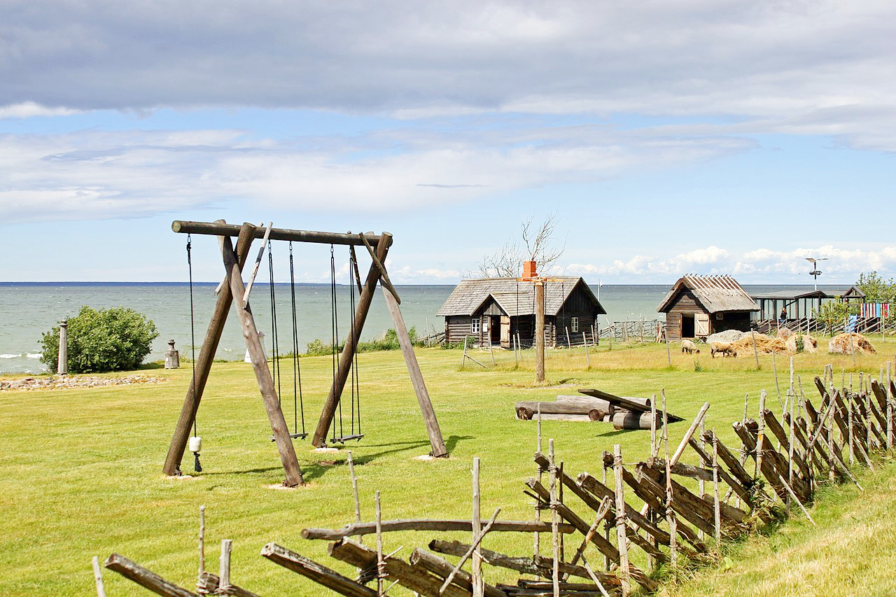
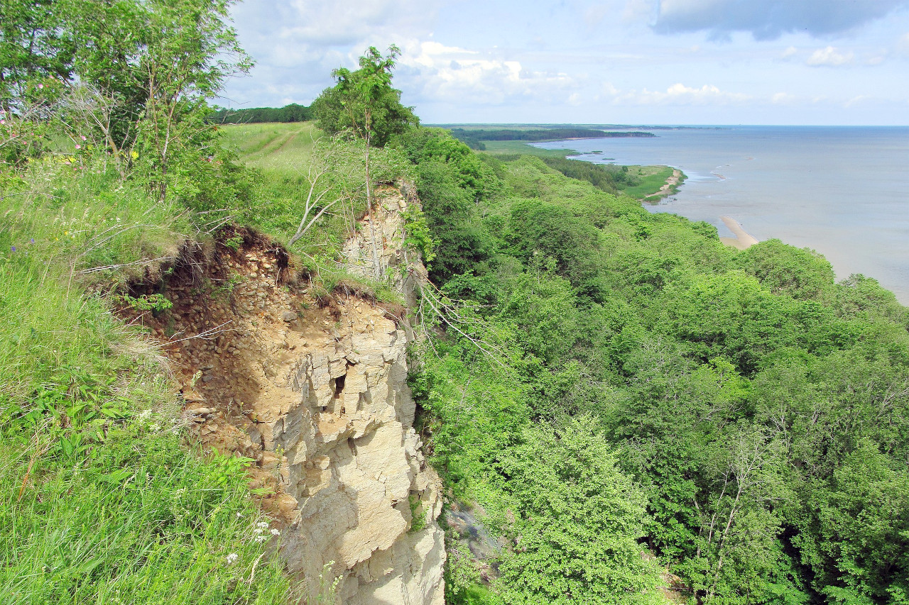
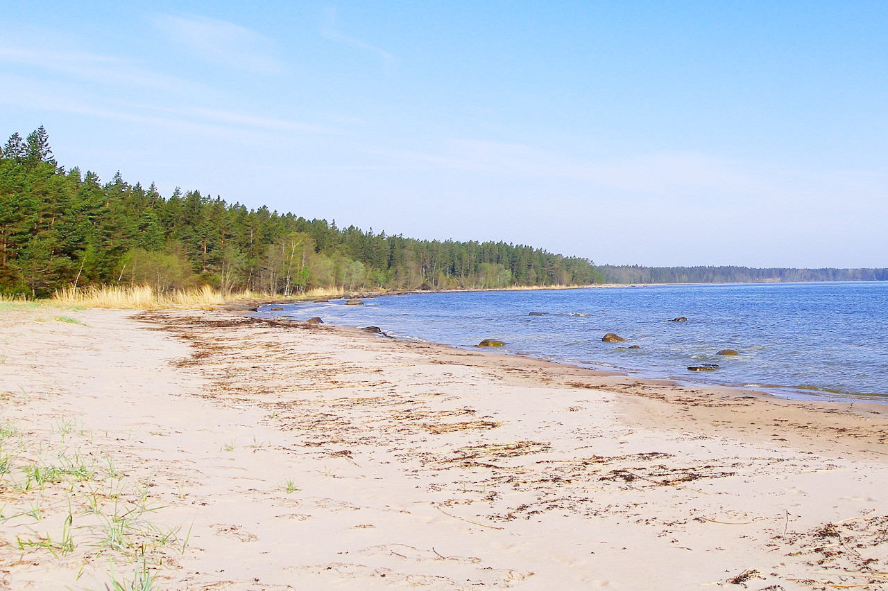
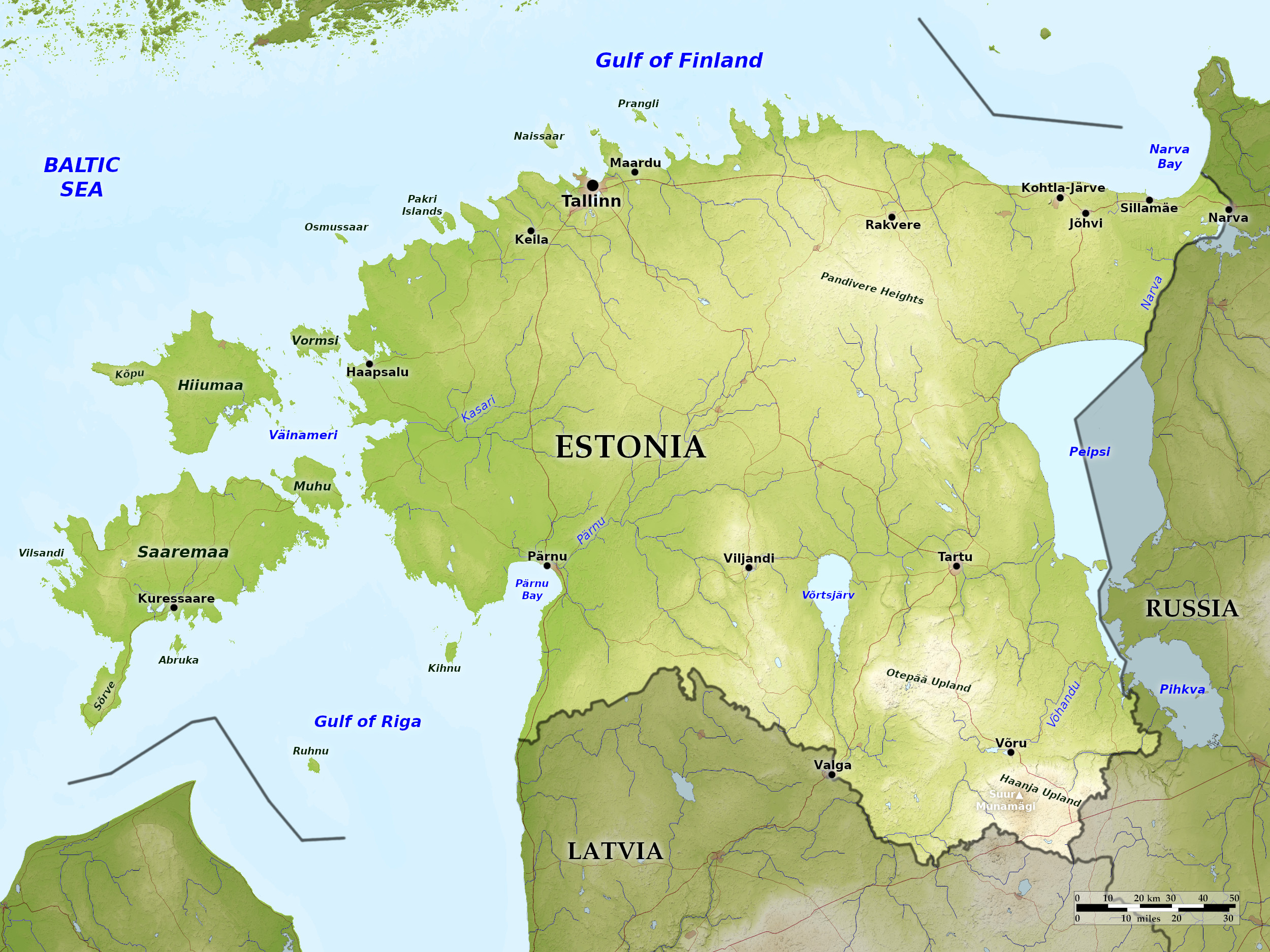
Estonia has a very long coastline for such a small country, stretching 2,300 miles (3,700 km) along the Gulf of Rı̄ga, Baltic Sea, and the Gulf of Finland. More than 1,500 islands lie off its coast, mostly to the west, making up nearly 10 percent of its territory. The largest of these islands is Saaremaa—one of the most pristine parts of Estonia. Another large island is Hiiumaa, a favorite summer home for writers and artists.
Water is everywhere in low-lying Estonia. Lake Peipus forms much of Estonia’s border with Russia, and is the fourth-largest lake in Europe. Some of the most beautiful scenery in the country can be south of Tartu. Lake Võrtsjärv is the largest lake that lies completely within Estonia. Wetlands cover nearly a quarter of the remaining land. Although much of the country is low-lying, there is a hilly region in the southeast. The highest point is Suur Munamägi (1,040 ft., 317 m), which literally means "Great Egg Hill."
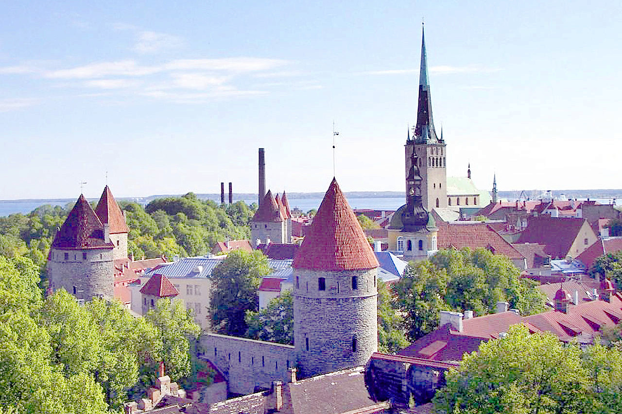
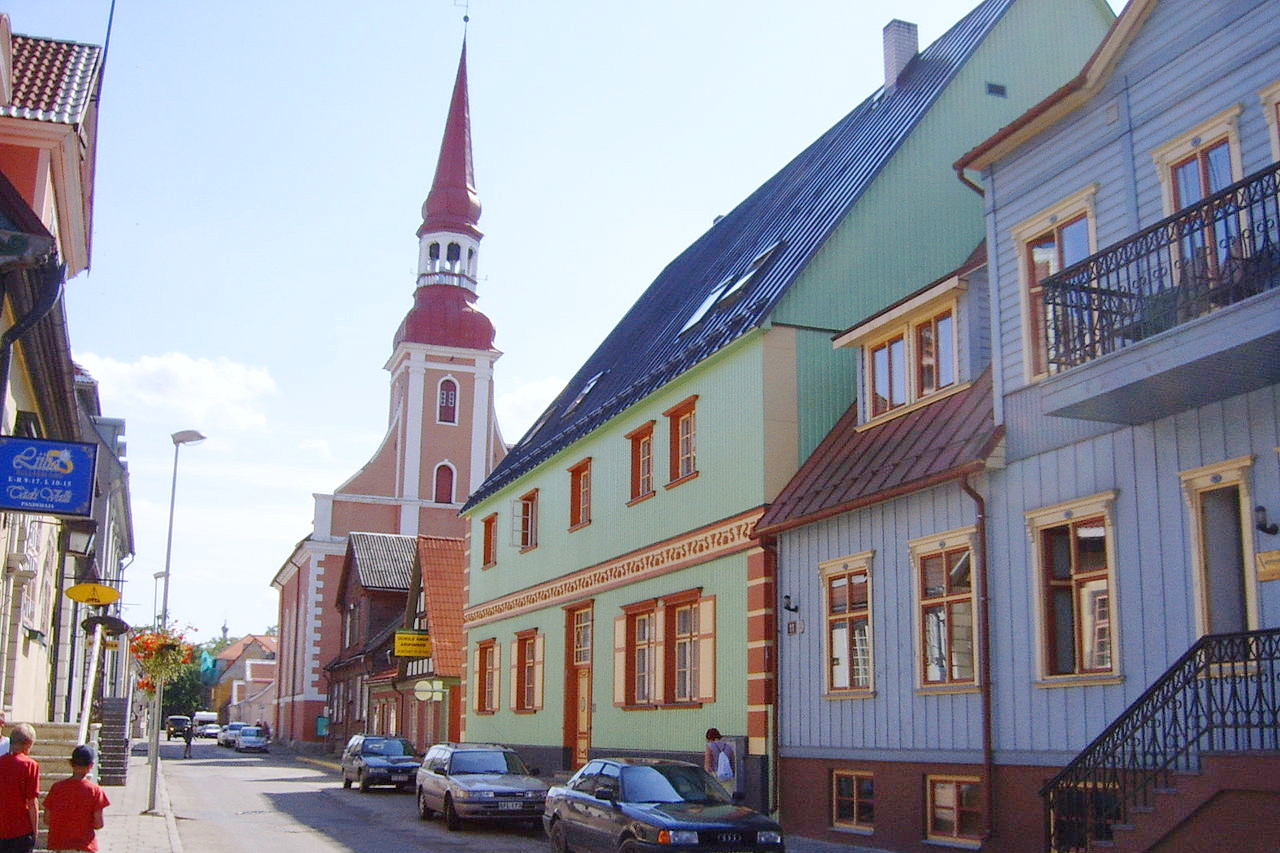
Tallinn, the capital, is not only the country’s largest city, but with Toompea Castle and an extraordinarily well preserved medieval Old Town, it is also arguably its most beautiful. Tartu, whose university dates to 1632, can justly stake a claim to being the country’s leading cultural center.
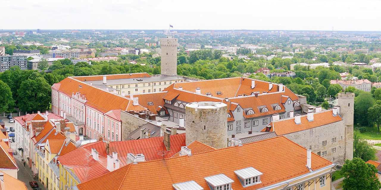 Toompea Castle, Tallinn. View from the northeast
What is the nature of Estonia like?
Around sixty percent of Estonia is forested, a larger percentage than in either Latvia or Lithuania. The most common trees on forested land are pine, followed by birch, aspen, and fir. These forests provide a hospitable home to such large mammals as elk, deer, and wild boar, and smaller populations of brown bears and beavers. Other common mammals include foxes, squirrels, and badgers.
The vegetation of the north is a 'park' type: wooded meadows with scattered forest patches among open glades. In central Estonia the landscape is dominated by drumlins: little hills and depressions of glacial origin. Although forests and woodlands cover more than half of Estonia’s territory, another fifth is covered by marshes. No European country has more living peat bogs than Estonia.
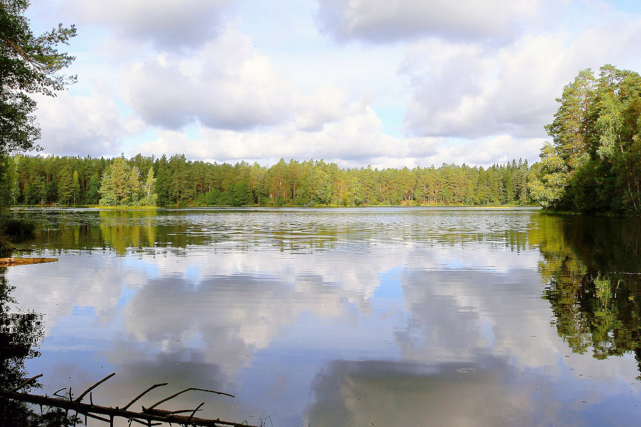
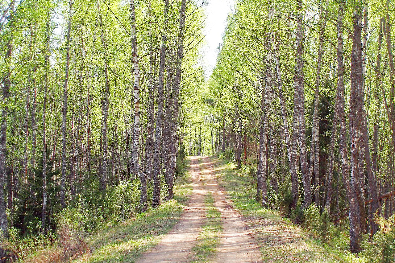 Forest trail in Põhja-Kõrvemaa
What is the climate of Estonia like?
See our main article: The Climate of Estonia
Estonia has a similar climate to its neighbours, but is relatively mild thanks to the moderating influence of the sea. Summers are generally warm—the average temperature in July is around 18°C (64°F). Winters are cold, with temperatures often below freezing from December through February.
Rainfall is quite moderate though, ranging from 500 mm (20 in) to 700 mm (28 in). It tends to be heaviest during the summer and lightest in the spring.
| Climate data for Tallinn (1991–2020) | |||||||||||||
|---|---|---|---|---|---|---|---|---|---|---|---|---|---|
| Month | Jan | Feb | Mar | Apr | May | Jun | Jul | Aug | Sep | Oct | Nov | Dec | Year |
| Average high °C (°F) | −0.7 (30.7) | −1.0 (30.2) | 2.8 (37.0) | 9.5 (49.1) | 15.4 (59.7) | 19.2 (66.6) | 22.2 (72.0) | 21.0 (69.8) | 16.1 (61.0) | 9.5 (49.1) | 4.1 (39.4) | 1.2 (34.2) | 9.9 (49.8) |
| Daily mean °C (°F) | −2.9 (26.8) | −3.6 (25.5) | −0.6 (30.9) | 4.8 (40.6) | 10.2 (50.4) | 14.5 (58.1) | 17.6 (63.7) | 16.5 (61.7) | 12.0 (53.6) | 6.5 (43.7) | 2.0 (35.6) | −0.9 (30.4) | 6.4 (43.5) |
| Average low °C (°F) | −5.5 (22.1) | −6.2 (20.8) | −3.7 (25.3) | 0.7 (33.3) | 5.2 (41.4) | 9.8 (49.6) | 13.1 (55.6) | 12.3 (54.1) | 8.4 (47.1) | 3.7 (38.7) | −0.2 (31.6) | −3.1 (26.4) | 2.9 (37.2) |
| Average precipitation mm (inches) | 56 (2.2) | 40 (1.6) | 37 (1.5) | 35 (1.4) | 37 (1.5) | 68 (2.7) | 82 (3.2) | 85 (3.3) | 58 (2.3) | 78 (3.1) | 66 (2.6) | 59 (2.3) | 700 (27.6) |
| Source: Estonian Weather Service | |||||||||||||
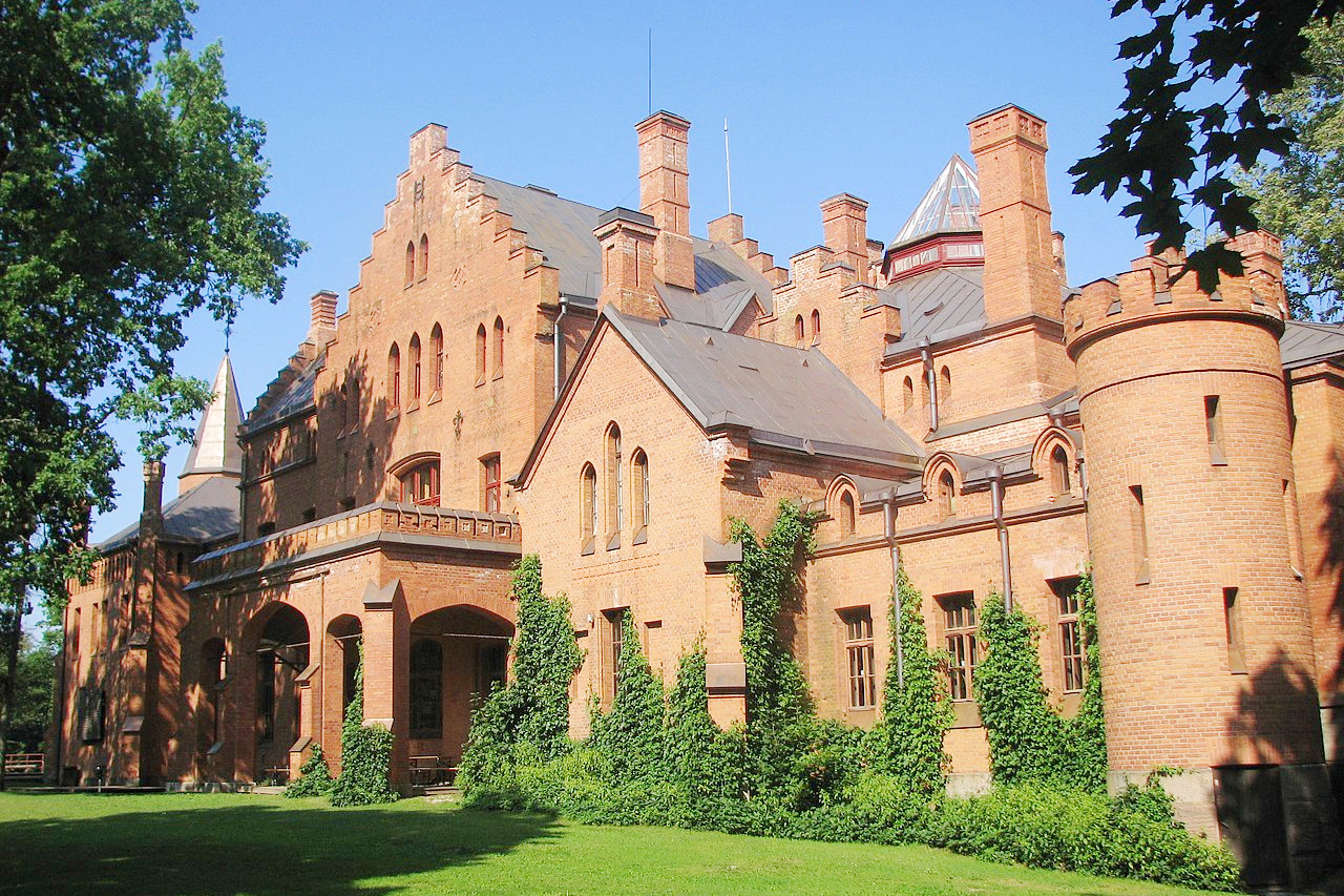
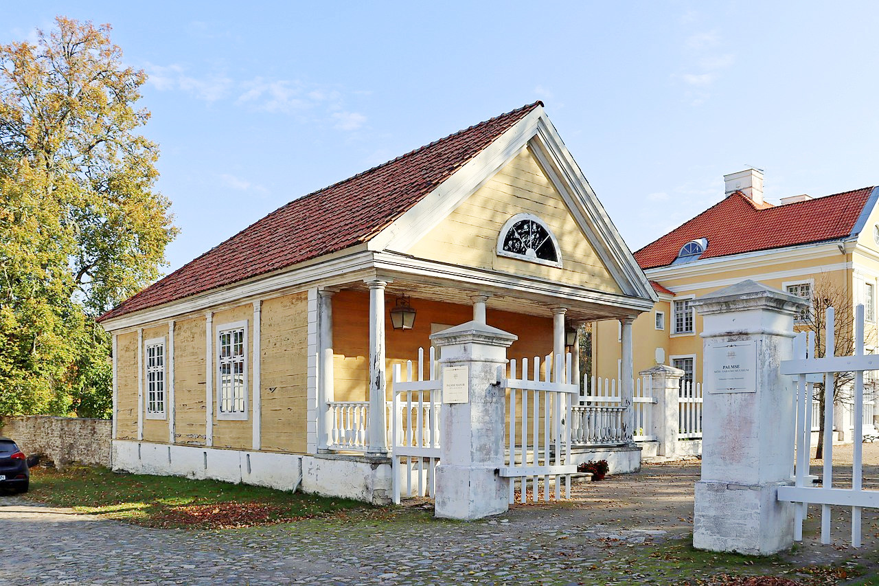 Palmse manor in Lääne-Viru County
The official websites
Estonia
Positively Surprising
| Location: | Northeastern Europe, bordering the Baltic Sea and Gulf of Finland, north of Latvia |
| Coordinates: | 58° 45′ N, 24° 45′ E |
| Size: | • 240 km N-S; 375 km E-W • 150 miles N-S; 235 miles E-W |
| Terrain: | Low and flat with a hilly region in the southeast. There is a long, shallow coastline onthe Baltic Sea, with many islands off the coast |
| Climate: | A maritime climate on the coast, with more extreme temperatures ainland. Summer temperatures average around 18°C (64°F). Winters are cold. |
| Highest point: | Suur Munamägi 318 m / 1,043 ft |
| Forest: | 60% (2010 est.) (source) |
| Population: | 1,211,524 (2022 est.) |
| Population density: | Low (31/km²) |
| Capital: | Tallinn |
| Languages: | Estonian (official) 68.5%, Russian 29.6%, Ukrainian 0.6%, other 1.2% |
| Human Development Index: | Very high (0.892) |