The Geography of
Burgundy and the Jura
Why visit Burgundy-and-Jura?
intro
Contents
Map
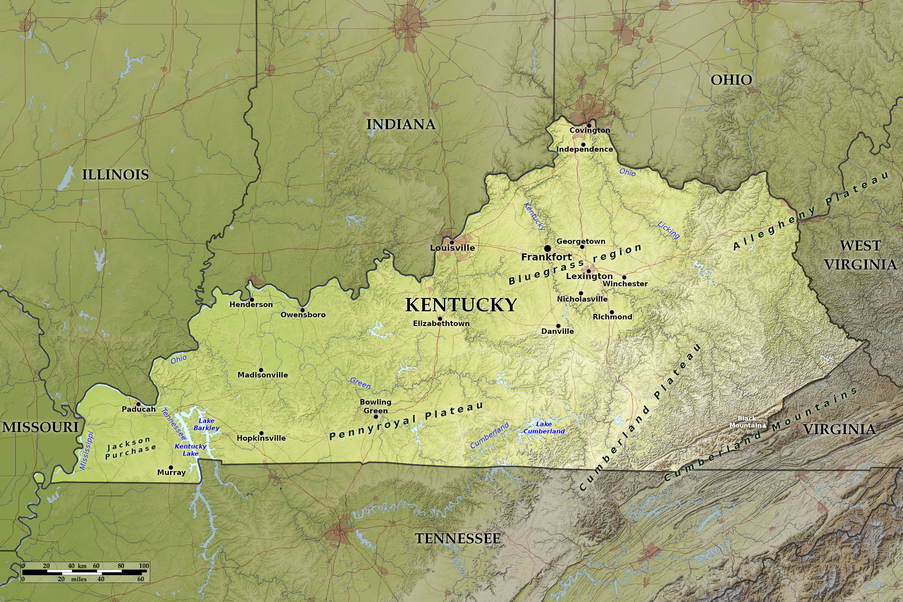 Relief map of Burgundy and Jura
What is the landscape of Burgundy-and-jura like?
Burgundy is another wine-country, prosperous, with rolling vine-clad hills. Dijon, the provincial capital, has many interesting old houses, fine churches, and one of the largest museums and art gallery in France. Beaune should be visited for its 15th-century hospice, containing the famous picture, "The last Judgment," by Roger van der Weyden, and at Vezelay is one of the best Romanesque churches in Europe. There are many chateaux in Burgundy, especially around Chablis and Tonnerre, chief among these being those of Bussy-Rabutin and Ancy-le-Franc, the latter being the earliest building in the classical style still remaining in France.
The Jura mountains are high and remote. This district was owned by Spain until the 17th century and you can still see Spanish influence in some of the architecture. In winter the slopes are used for skiing, though the season is not as long as in the high centres of the Alps.
On the west, the Jura overlooks the plain of the river Saône from a rather steep slope, deeply indented by valleys. To the east it rises in series of plateaus peaking at a height of 1,720 meters (5,640 feet). Toward the south the mountain folds are closely pressed together, the plateaus disappear, and the Jura is composed as at the north of a succession of low chains. At the extreme south, the valley of the Rhône crosses the Jura through imposing gorges. Abundant rainfall produces dense forests, and pasture lands, and the vine is found almost everywhere.
What is the nature of Burgundy-and-jura like?
TEXT
What is the climate of Burgundy-and-jura like?
TEXT
The official websites
Belize
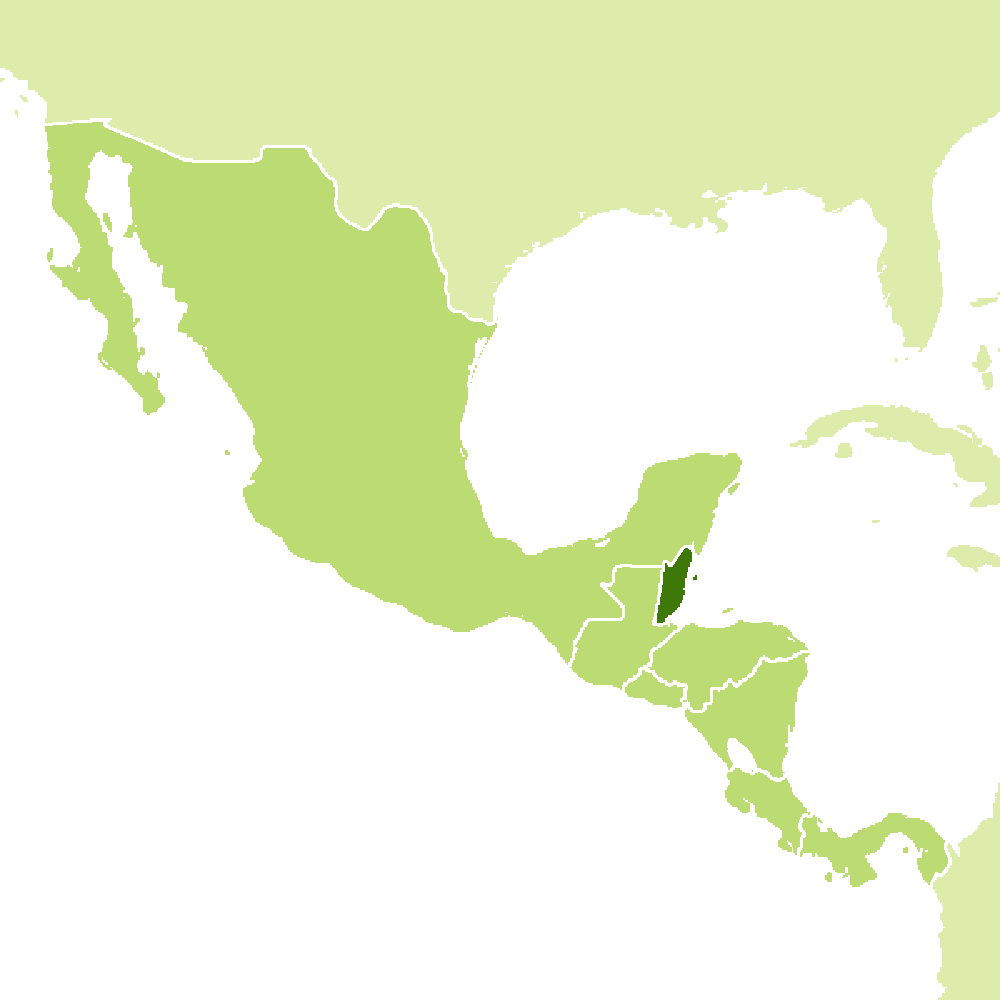
Under the shade we flourish
| Location: | ### |
| Coordinates: | 17° 15′ N, 88° 45′ W |
| Size: | • ### km N-S; ### km E-W • ### miles N-S; ### miles E-W |
| Terrain: | ### |
| Climate: | ### |
| Highest point: | ### ### m / ### ft |
| Forest: | ### |
| Population: | ### |
| Population density: | Low (###/km²) |
| Capital: | ### |
| Languages: | ### |
| Human Development Index: | ### |
| Currency: | ### |