.JPG)
The Geography of
Honduras
Why visit Honduras?
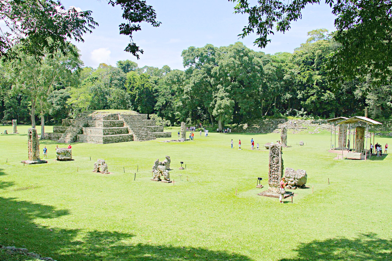
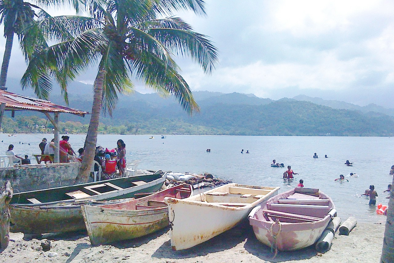
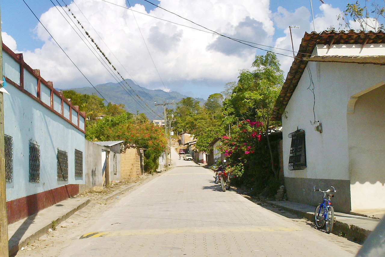
Honduras is a country of great natural beauty. The mountains and the rivers give Honduras a very beautiful and natural appearance. The country is special because of the forests, small towns and villages, and the many different kinds of animals. Honduras's coast, on the Atlantic, has sandy beaches that make tourism attractive. Honduran cultural offerings include the beautiful Mayan ruins at Copan and the smaller sample of Mayan artifacts in the Parque de la Concordia in Tegucigalpa.
Contents
Map
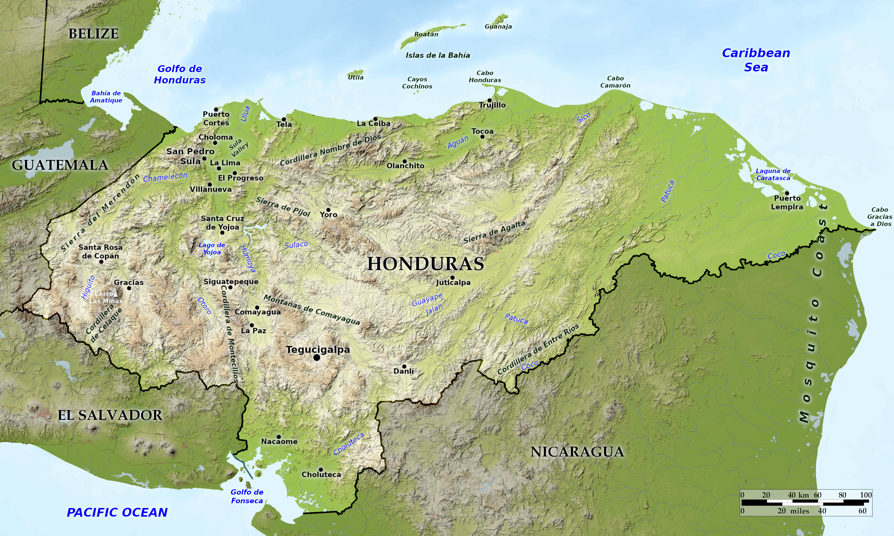 Relief map of Honduras
What is the landscape of Honduras like?
Honduras is a triangular country that lies at the widest point of the Isthmus of Central America. Honduras has three distinct regions: a vast inland highland area and two narrow coastal plains. The interior of the country, which makes up about 80 percent of the country's area, is mountainous. The greater Caribbean lowlands to the north and the Pacific lowlands bordering the Golfo de Fonseca are alluvial plains.
Interior Highlands
The interior highlands are the most prominent feature of Honduras. These mountainous areas make up about 80 percent of the country's total area and are home to the majority of the population.
To the west, the mountains of Honduras merge with the mountain ranges of Guatemala. The western mountains have the highest peaks, with the the Cerro Las Minas at 2,870 meters (9,420 feet). These mountains are forests mainly covered with pine forests.
To the east, the mountains merge with those in Nicaragua. Although generally not as high as the mountains near the Guatemalan border, the eastern mountain ranges possess some high peaks, such as Pico Bonito at 2,435 meters (7,989 feet).
One of the most striking features of the interior highlands is a depression that runs from the Caribbean Sea to the Golfo de Fonseca. This depression divides the country's cordillera into eastern and western parts and provides a relatively easy route across the isthmus. The depression is widest at its northern end near San Pedro Sula and narrows as it follows the upper reaches of the Rio Humuya. First through Comayagua and then through narrow passes south of the city, the depression widens again as it empties into the Golfo de Fonseca along the border with El Salvador.
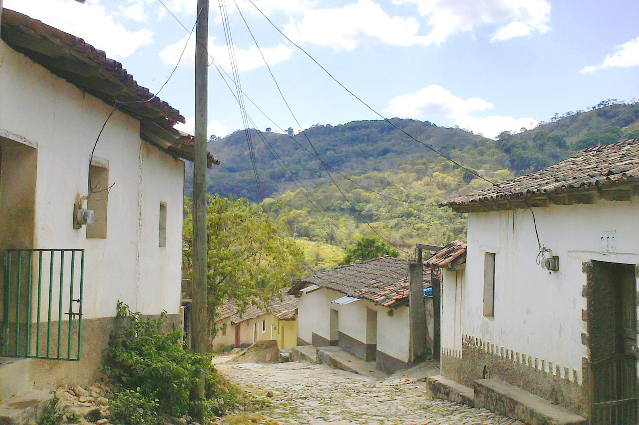
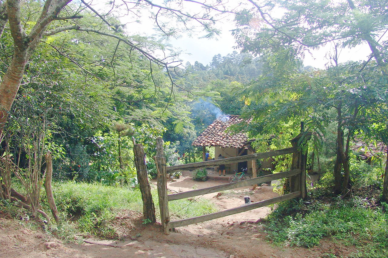
Scattered throughout the interior highlands are numerous flat-bottomed valleys ranging in height from 300 to 900 meters (1,000 to 3,000 feet) and varying in size. The soils of the great valleys provide sufficient grass, shrubs, and dry forest to support livestock and, in some cases, commercial agriculture. Villages and towns, including the capital Tegucigalpa, are hidden in the larger valleys.
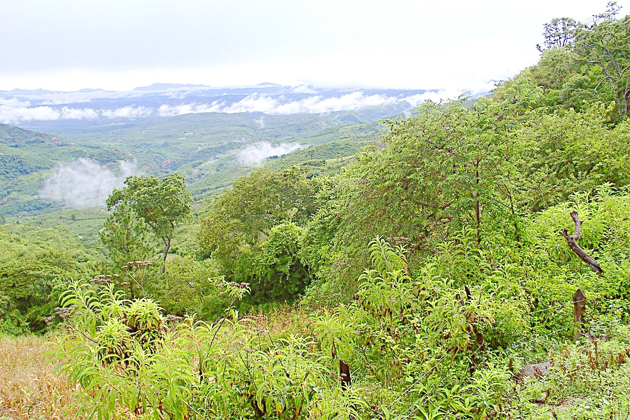
The vegetation in the interior highlands is diverse. Much of the western, southern and central mountains are open woodland - supportive pine forest interspersed with some oak, scrub and grassy clearings. The mountain ranges to the east are mostly continuous areas of dense, evergreen deciduous forest. Remnants of the dense rainforest that once covered much of the area can still be found around the highest peaks.
The Caribbean Lowlands
The Caribbean lowlands are an area of river valleys and coastal plains that most Hondurans call "the North Coast" or simply "the Coast". The central part of the Caribbean lowlands, east of La Ceiba, is a narrow coastal plain only a few kilometers wide. To the east and west of this section, however, the Caribbean lowlands widen and extend a considerable distance inland along wide river valleys in places. The widest river valley along the Rio Ulua near the Guatemalan border is the most developed area of Honduras. Here you will find both Puerto Cortes, the country's largest port, and San Pedro Sula, the industrial capital of Honduras.
To the east, near the Nicaraguan border, the Caribbean lowlands widen into a vast area known as the Mosquitia. Unlike the western part of the Caribbean lowlands, the Mosquitia is the least developed area of Honduras. Underpopulated and culturally distinct from the rest of the country, the area consists of inland savannah with swamps and coastal mangroves. During heavy rains, much of the savannah area is covered by shallow water, requiring transport by shallow-draft boats.
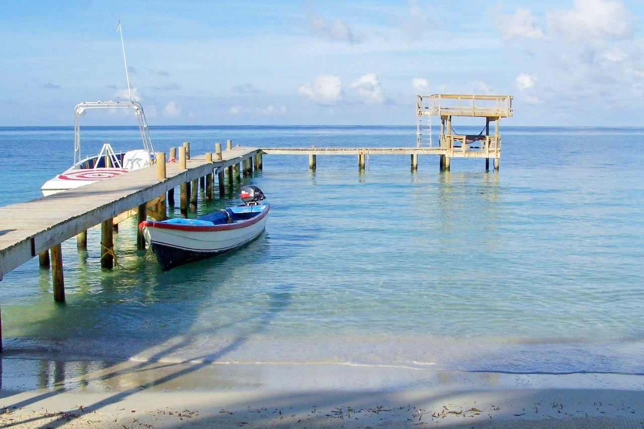
In the Caribbean, the islands of Roatan, Utila and Guanaja together form the Islas de la Bahia (Bay Islands). Roatan, the largest of the three islands, is fifty kilometers long and five wide (thirty miles by three miles). The Islas de la Bahia archipelago also has a number of smaller islands, including the islands of Barbareta, Santa Elena, and Morat. Further out in the Caribbean are the Islas Santanillas, formerly known as the Swan Islands. There are some small islands and keys nearby, including Cayos Zapotillos and Cayos Cochinos.
Pacific Lowlands
.JPG&oldid=625086751)
The smallest region of Honduras, the Pacific Lowlands is a strip of land on the north shore of the Golfo de Fonseca, averaging 25 kilometers (15 miles) wide. The land is flat and becomes swampy near the Gulf Coast and consists mostly of alluvial soil washed down from the mountains. The gulf is shallow. Mangroves along the coast provide safe and plentiful breeding grounds for wildlife amidst their extensive networks of underwater roots.
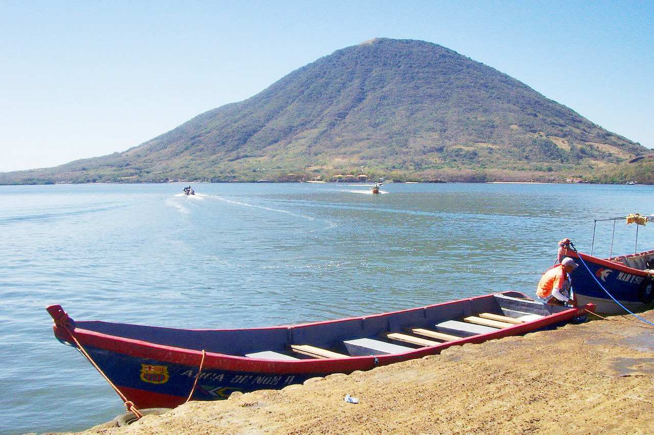
Honduras possesses several islands in the Gulf. The two largest, Zacate Grande and El Tigre, are eroded volcanoes that are part of the volcanic chain that stretches along the Pacific coast of Central America. Both islands have volcanic cones more than 700 meters (2,300 feet) high.
What is the nature of Honduras like?
Honduras has a rich and diverse flora and fauna. Around half of Honduras is covered with forest and wooded areas. Tropical lowlands are found on both coasts but are much larger in the north. Inland from the north coast, Caribbean pines cover much of the land. Tropical trees, ferns, mosses and orchids abound, especially in the rainforest areas.
Mammal life includes the anteater, armadillo, coyote, deer, fox, peccary, pocket gopher, porcupine, jaguar, and tapir. There are several varieties of monkey, including white-faced monkeys and mantled howler monkeys with their long prehensile tails. With more than 700 bird species, Honduras is a birdwatcher’s paradise. Birds include the black robin, hummingbird, macaw, nightingale, thrush, quetzal, toucanet, wren, and many others.
Off the northern coast, the Mesoamerican Reef extends south along the coast of Belize to the Honduran Bay Islands. It is the largest coral reef in the Western Hemisphere. This tropical habitat is home to 60 species of coral and numerous fish and mollusks. Five species of sea turtles swim and sometimes nest along the Honduran coast.
What is the climate of Honduras like?
See our main article: The Climate of Honduras
The northern Caribbean area and the southern coastal plain have a wet, tropical climate, but the interior highlands are drier and cooler. Coastal temperatures average 27°C (81°F), with lower temperatures at the higher elevations.
Central and southern regions experience a rainy period from May through October, and a dry season from November through April. Northern coastal districts however get heavy rain in autumn and winter.
| Climate data for Tegucigalpa (1961–1990) | |||||||||||||
|---|---|---|---|---|---|---|---|---|---|---|---|---|---|
| Month | Jan | Feb | Mar | Apr | May | Jun | Jul | Aug | Sep | Oct | Nov | Dec | Year |
| Average high °C (°F) | 25.7 (78.3) | 27.4 (81.3) | 29.5 (85.1) | 30.2 (86.4) | 30.2 (86.4) | 28.6 (83.5) | 27.8 (82.0) | 28.5 (83.3) | 28.5 (83.3) | 27.3 (81.1) | 26.0 (78.8) | 25.4 (77.7) | 27.9 (82.2) |
| Daily mean °C (°F) | 19.5 (67.1) | 20.4 (68.7) | 22.1 (71.8) | 23.4 (74.1) | 23.6 (74.5) | 22.6 (72.7) | 22.1 (71.8) | 22.4 (72.3) | 22.2 (72.0) | 21.5 (70.7) | 20.4 (68.7) | 19.7 (67.5) | 21.7 (71.1) |
| Average low °C (°F) | 14.3 (57.7) | 14.5 (58.1) | 15.5 (59.9) | 17.1 (62.8) | 18.2 (64.8) | 18.2 (64.8) | 18.0 (64.4) | 18.0 (64.4) | 17.9 (64.2) | 17.6 (63.7) | 16.3 (61.3) | 15.0 (59.0) | 16.7 (62.1) |
| Average precipitation mm (inches) | 5.3 (0.21) | 4.7 (0.19) | 9.9 (0.39) | 42.9 (1.69) | 143.5 (5.65) | 158.7 (6.25) | 82.3 (3.24) | 88.5 (3.48) | 177.2 (6.98) | 108.9 (4.29) | 39.9 (1.57) | 9.9 (0.39) | 871.7 (34.32) |
| Source: NOAA | |||||||||||||
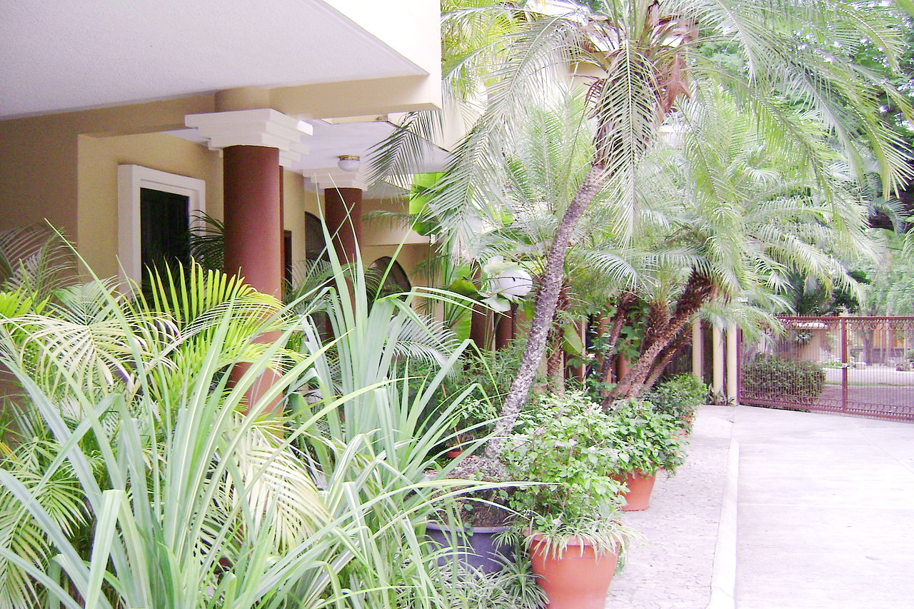 Garden at Villa Toscana, San Pedro Sula
The official websites
Honduras
One small country, three worlds apart
| Location: | Central America, bordering the Caribbean Sea, between Guatemala and Nicaragua; and bordering the Pacific Ocean, between El Salvador and Nicaragua |
| Coordinates: | 15° 00' N, 86° 30′ W |
| Size: | • 395 km N-S; 675 km E-W • 245 miles N-S; 420 miles E-W |
| Terrain: | Mostly mountains in interior, narrow coastal plains |
| Climate: | Subtropical in the lowlands, temperate in the mountains |
| Highest point: | Cerro Las Minas 2,870 m / 9,420 ft |
| Forest: | 45% (2018 est.) |
| Population: | 9,459,440 (2022 est.) |
| Population density: | Low-to-medium (85/km²) |
| Capital: | Tegucigalpa |
| Languages: | Spanish (official), Amerindian languages |
| Human Development Index: | Medium (0.621) |