The Geography of
Île de France
Why visit Ile-de-France?
intro
Contents
Map
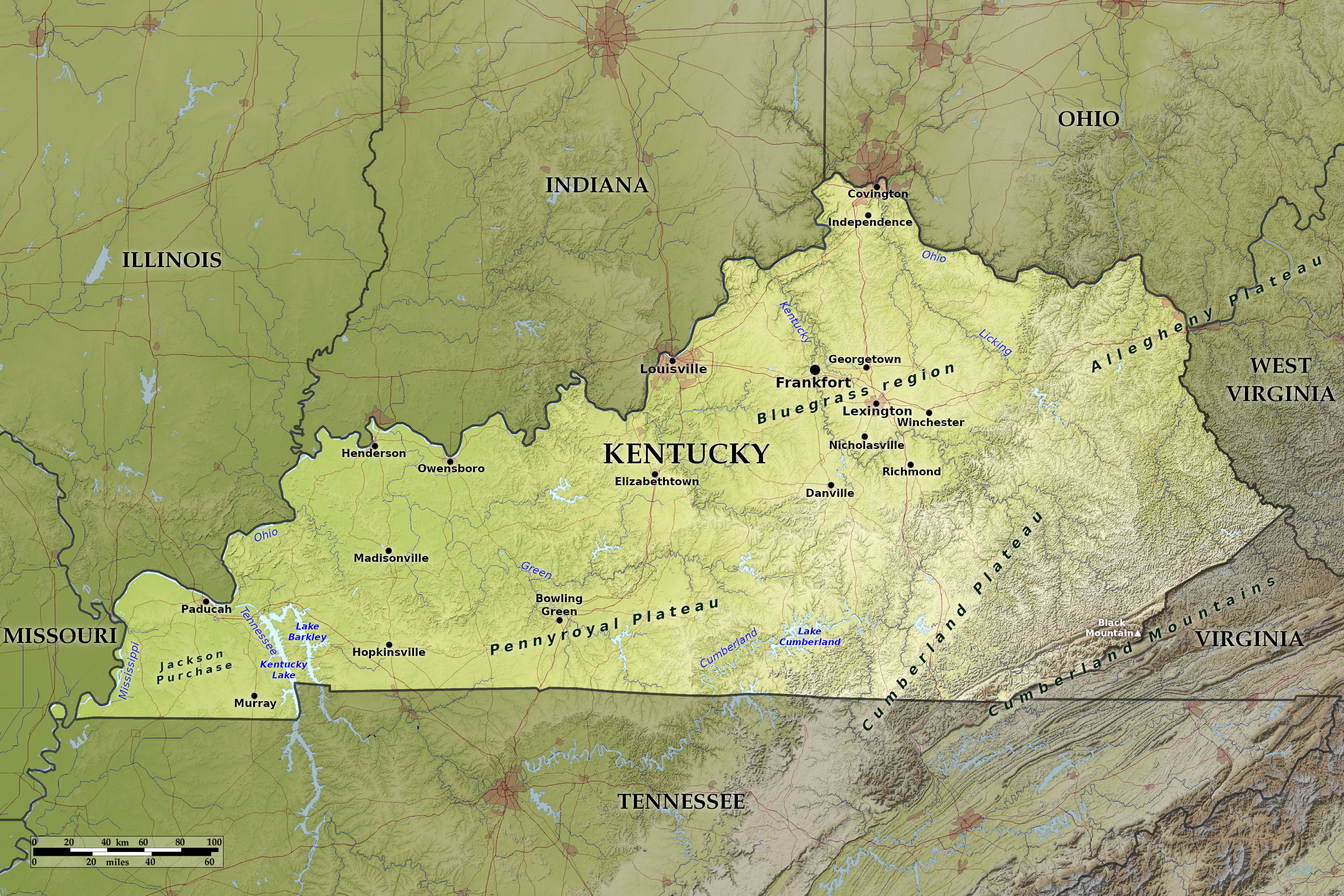 Relief map of Île de France
What is the landscape of Ile-de-france like?
Île de France is the province which surrounds Paris. It is a lovely countryside, part of which in the past was the domain of the kings of France. In consequence, there are many lovely palaces, chateaux and parks to be found. Amongst these are Versailles, Malmaison, Fontainebleau, Compiegne, Chantilly, Saint-Cloud, St. Germain-en-Laye and Rambouillet. All are wonderfully interesting and often beautiful. Then there are the magnificent cathedrals of Soissons, Laon, Senlis and Beauvais in this area, while glorious Chartres is just beyond its borders.
Versailles is 12 miles away from Paris. Here is the palace of Louis XIV, with its beautiful landscaped gardens, the chapel, royal bedrooms and petits appartements, the Grand and Petit Trianon. You can see La Malmaison, too, the home of Napoleon and Josephine. In another direction Fontainebleau, with its Renaissance palace and formal gardens, is fascinating. Halfway between Paris and Fontainebleau is the 17th-century chateau of Vaux-le-Vicomte, the richly baroque mansion which aroused Louis XIV’s suspicions about the honesty of his finance minister, Nicolas Fouquet. At Chantilly there is a huge chateau with an art museum set in a formal park. Fontainebleau, once a 12th-century fortress, was reconstructed in the 16th century and eventually became the favorite residence of Napoleon. During the summer, in the gardens of Versailles and Fontainebleau there are fountain displays, night festivals with ancient dances, fireworks, etc.
What is the nature of Ile-de-france like?
TEXT
What is the climate of Ile-de-france like?
TEXT
The official websites
Belize
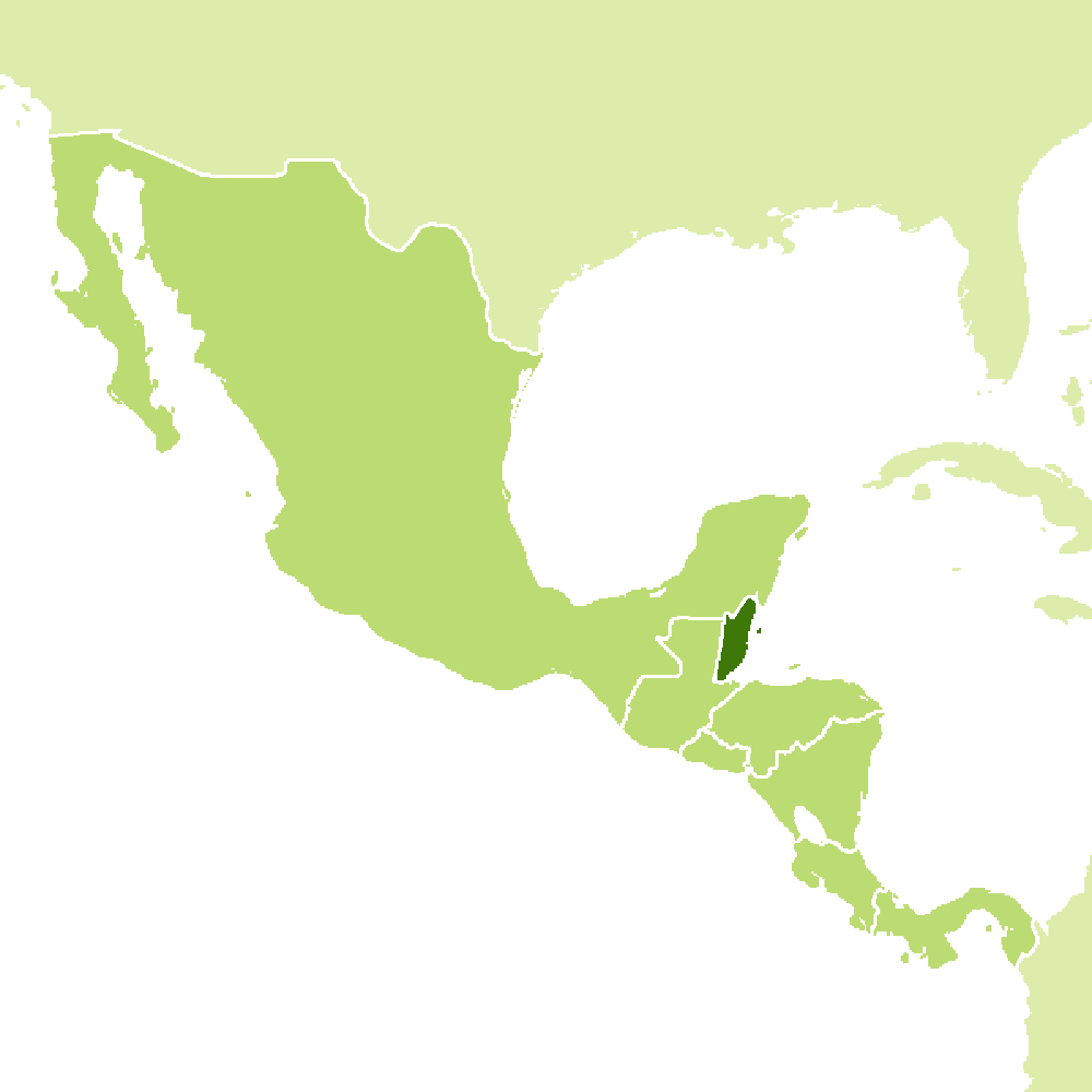
Under the shade we flourish
| Location: | ### |
| Coordinates: | 17° 15′ N, 88° 45′ W |
| Size: | • ### km N-S; ### km E-W • ### miles N-S; ### miles E-W |
| Terrain: | ### |
| Climate: | ### |
| Highest point: | ### ### m / ### ft |
| Forest: | ### |
| Population: | ### |
| Population density: | Low (###/km²) |
| Capital: | ### |
| Languages: | ### |
| Human Development Index: | ### |
| Currency: | ### |