The Geography of the
Pyrenees
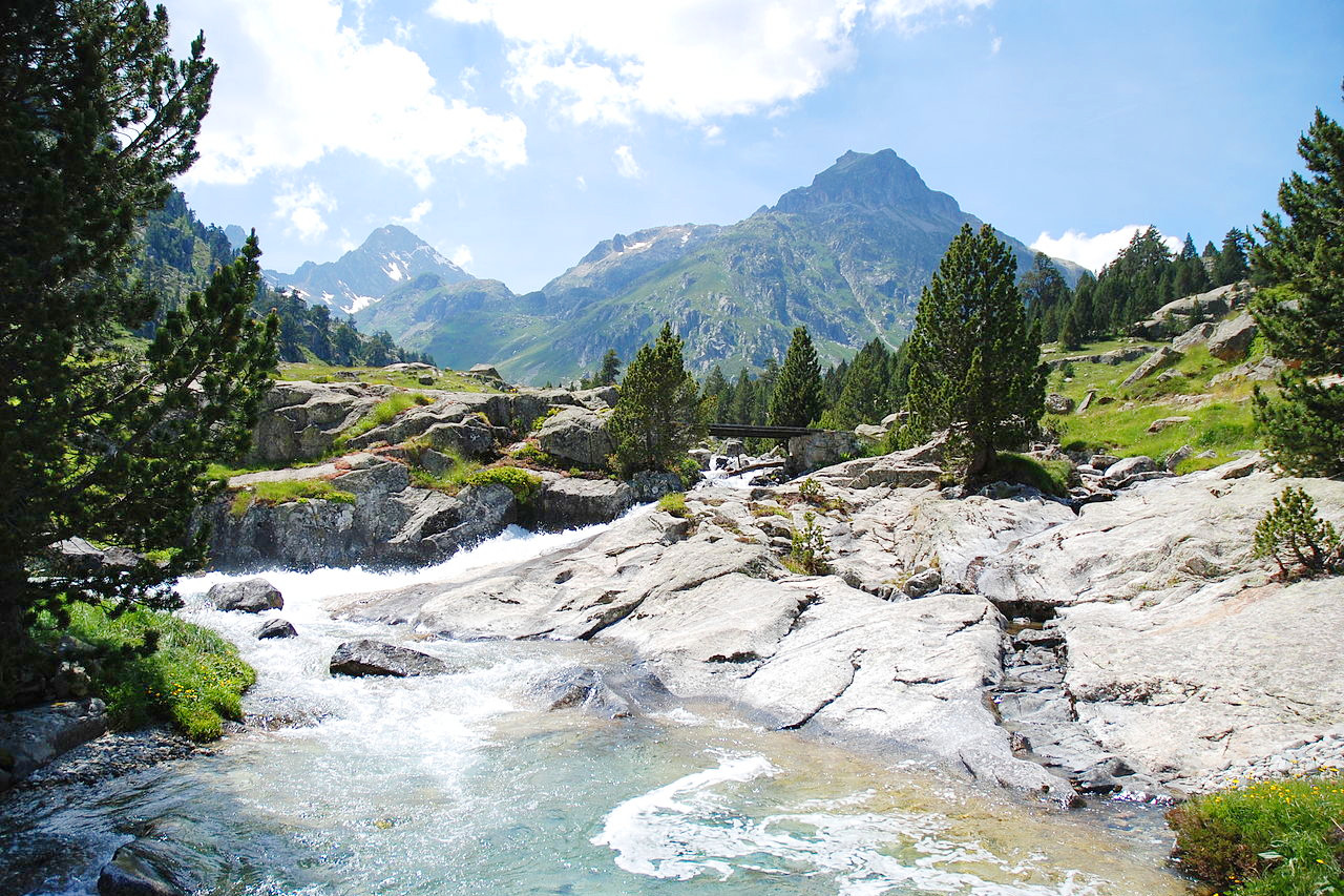
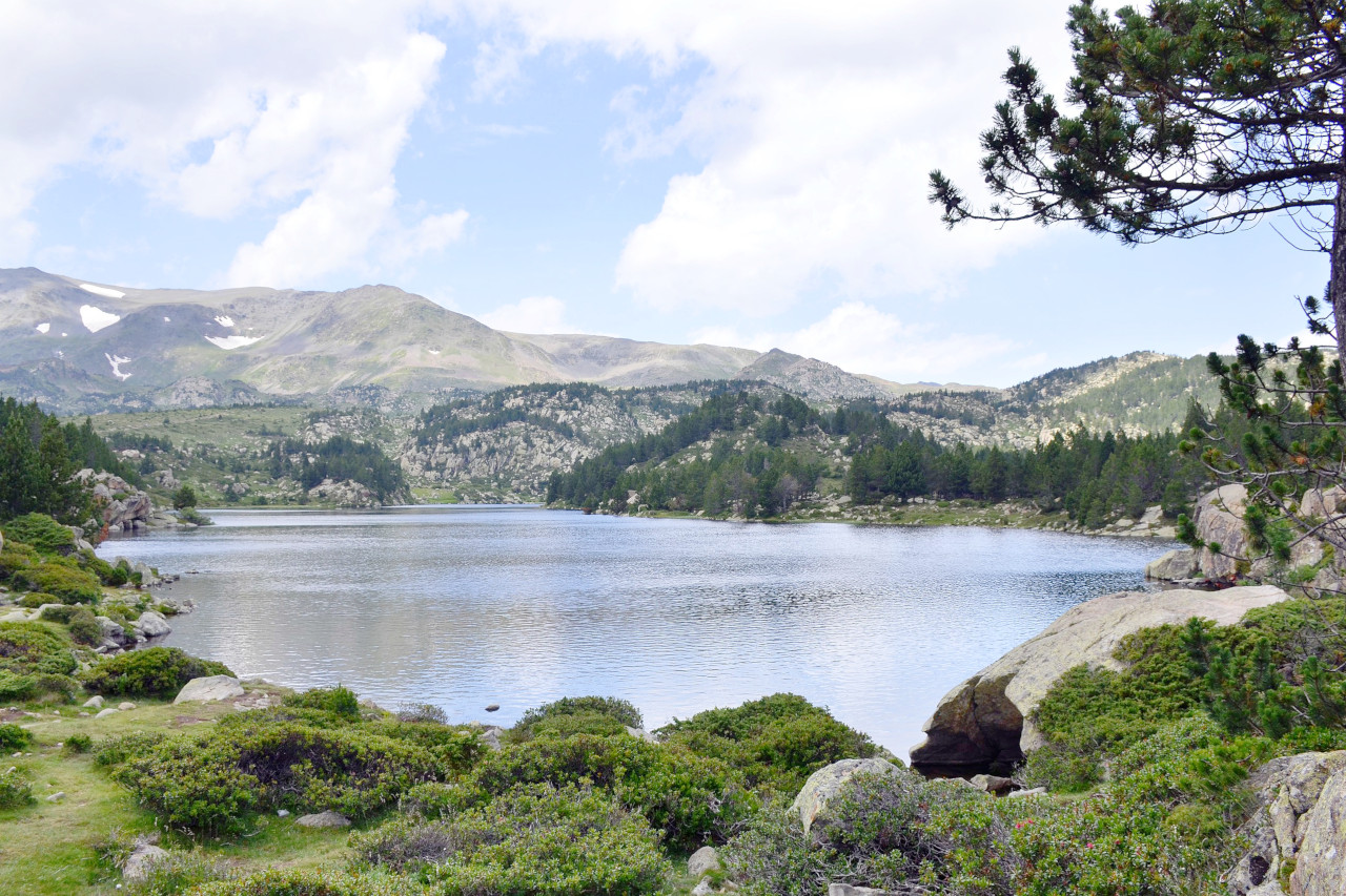
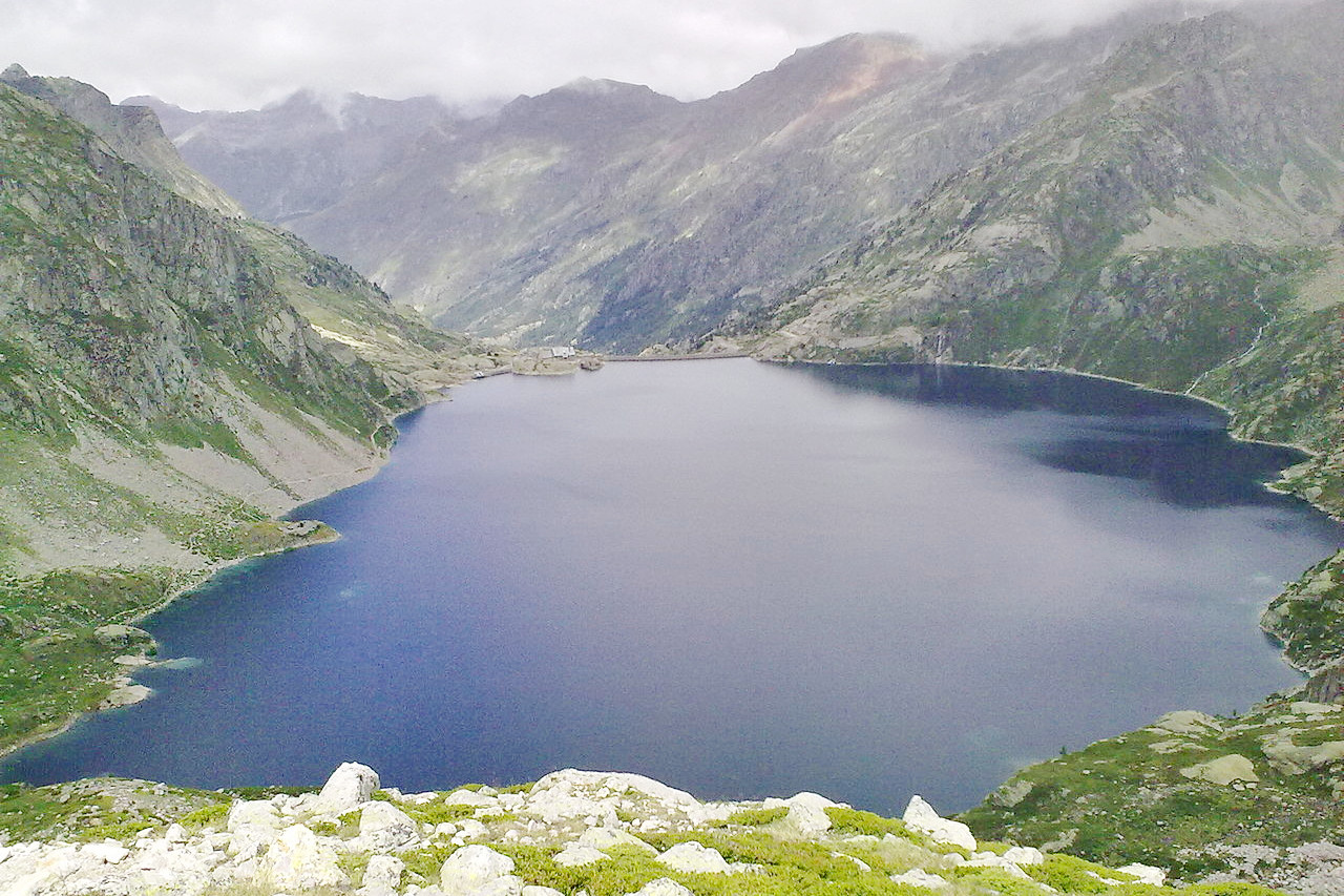
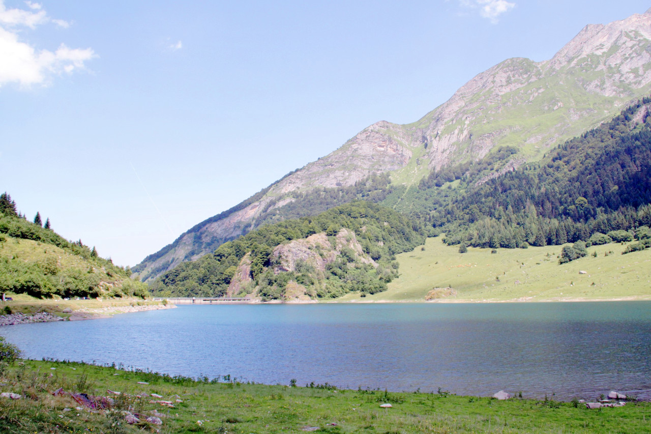
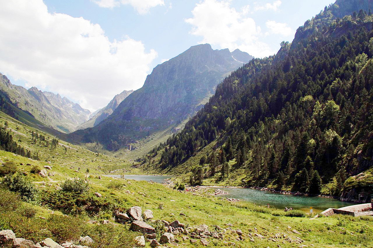
The Pyrenees contain some of the finest scenery in Europe. They extend like a wall from sea to sea forming the bounding between France and Spain. The mountains rise steeply on the French side to heights of over 3,000 meters (10,000 feet). Many roads lead across it, but the mountain passes are all high and the terrain rugged. There are no great lakes, but there are a large number of the mountain torrents, which often form lofty waterfalls. Glacial erosion has excavated immense natural amphitheaters, or cirques.
Contents
Map
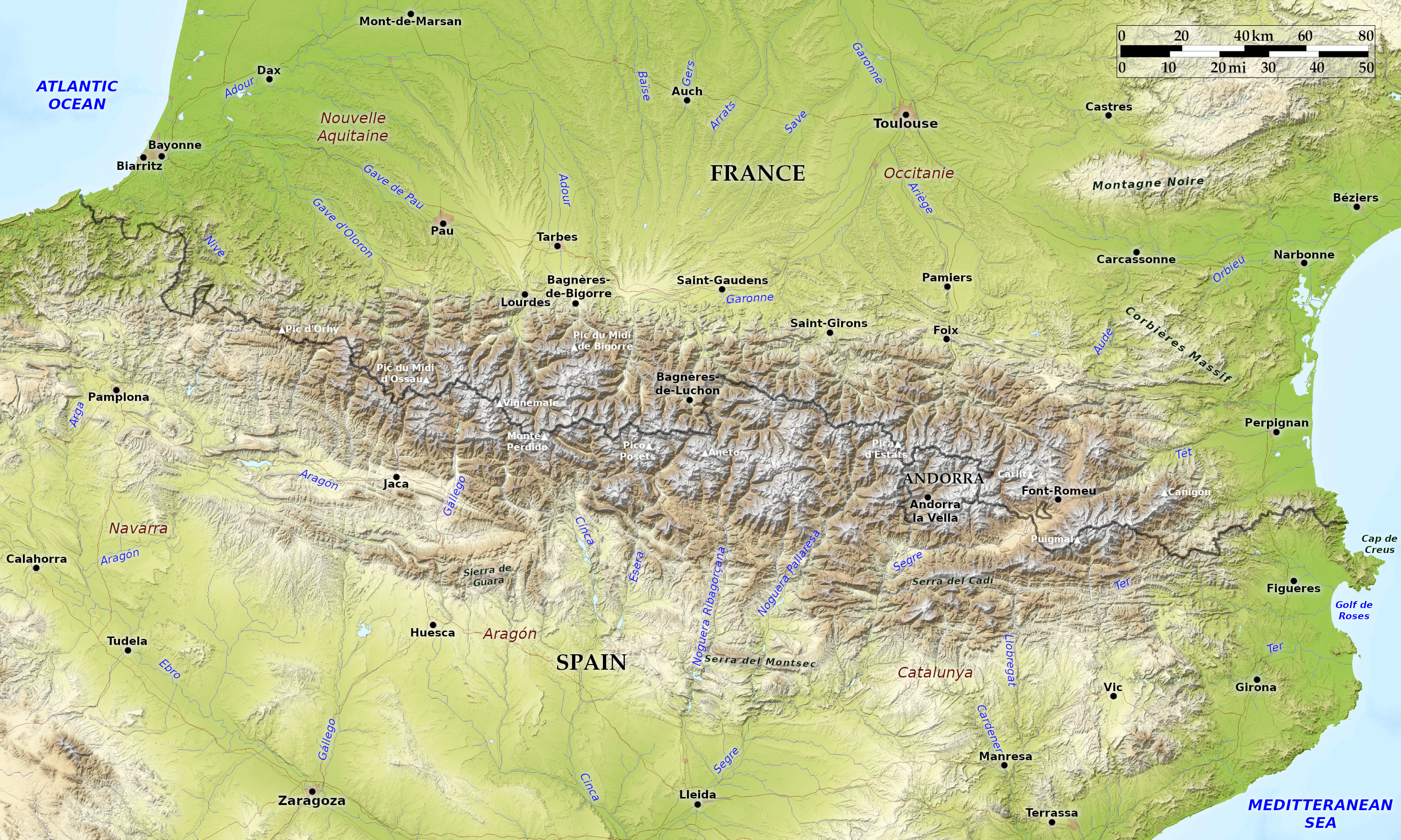 Relief map of the Pyrenees
What is the landscape of Pyrenees like?
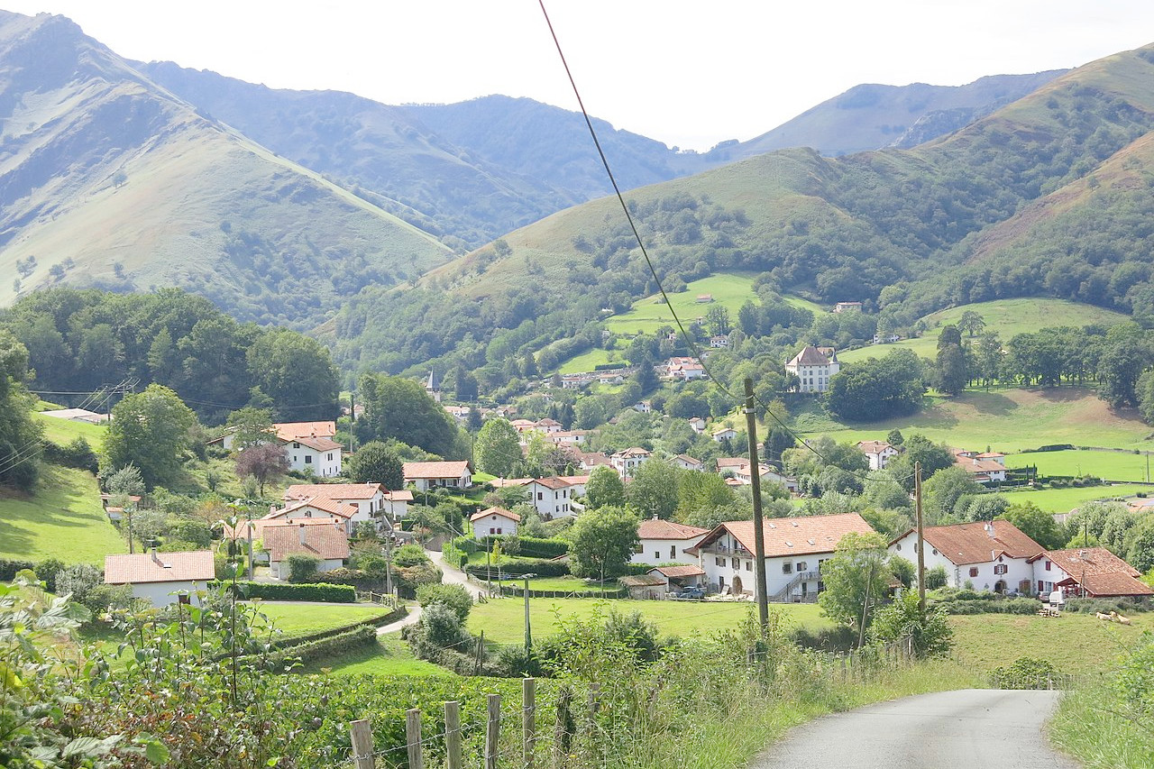
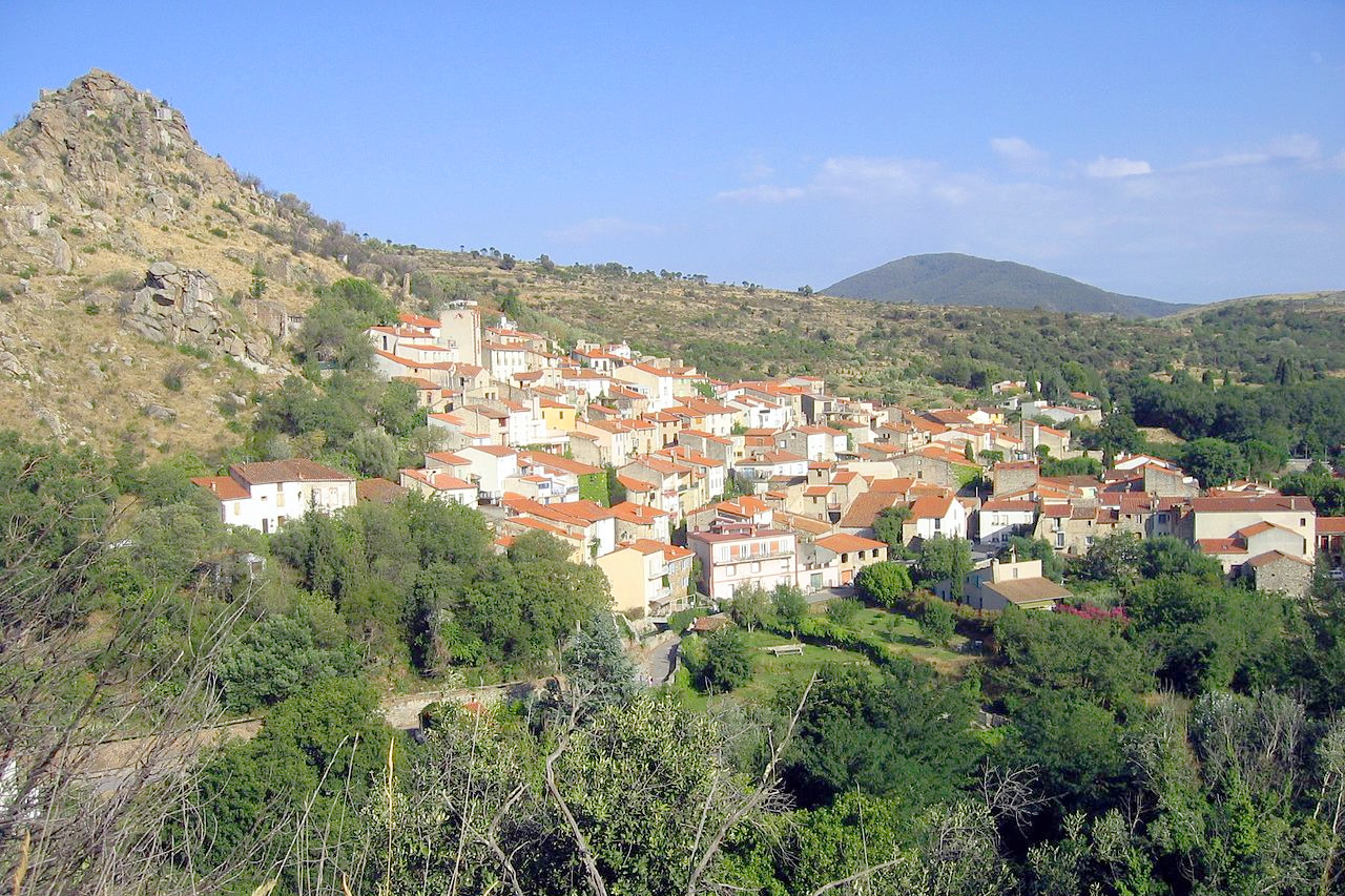
The Pyrenees are a great divide, 250 miles long, stretching from the Mediterranean to the Atlantic. Here, France marches with Spain. Almost the whole way the boundary is on the crest of the mountain range. Yet the people on both sides of the frontier belong to the same races—Catalans in the east, Basques in the west.
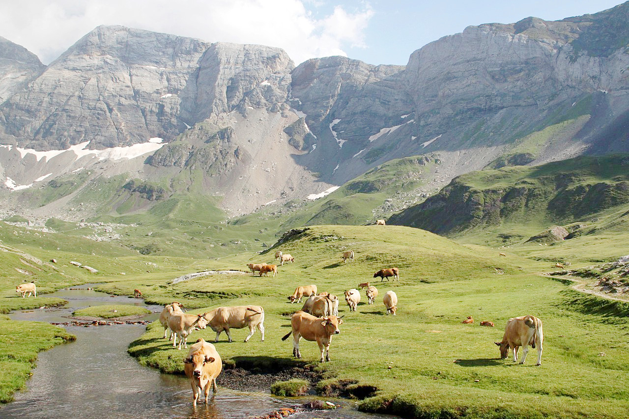
The Pyrenees has some of the finest scenery in France, Spain, if not in all of Europe. The roads take you over many of the high passes and through many interesting towns and villages. The Port de Venasque, a mountain pass above Luchon, with views into Spain; the Canigou, which towers dramatically over the east coast; and the observatory by the Pic du Midi de Bigorre; these are among the scenic high-spots of the Pyrenees. There are many winter sports stations in these mountains. The mountain ciimber will find many peaks to scale, the highest on the French side of the range being Vignemale.
The glory of the Pyrenees is the Cirque de Gavarnie, bounded on one side by a steep cliff 1,500 metres (4,900 feet) in height, on the other by rocky terraces. A magnificent waterfall 422 metres (1,385 feet) in height, plunges down from the glaciers when the snow melts, but in winter this and the numerous minor cascades are converted into pillars of ice, which surround the amphitheatre like a colonnade of marble.
What is the nature of Pyrenees like?
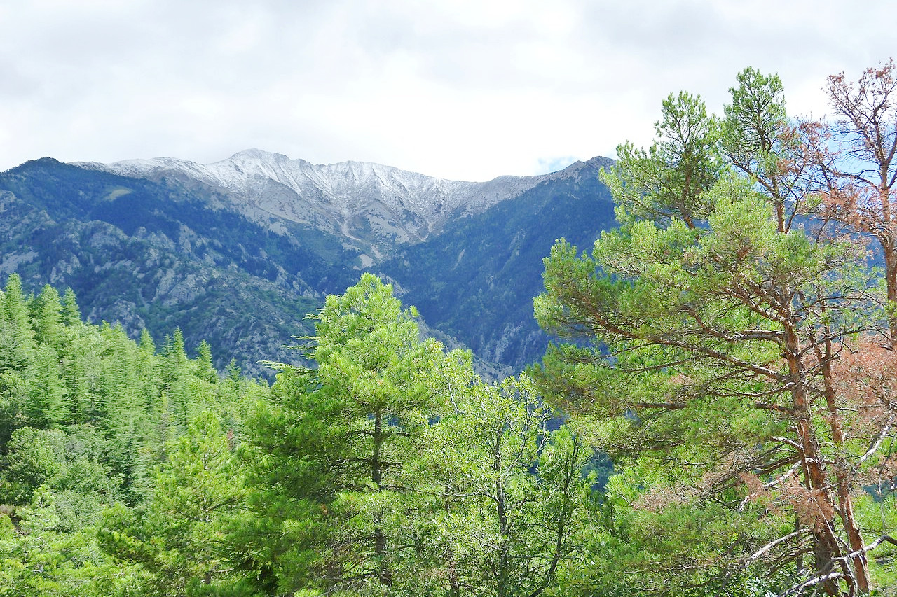
The western Pyrenees have a different aspect from that in the east. The Basque mountains are clothed with trees, pines and birch, walnut and chestnut, and above them are turf and heather. But the extent of forest declines eastwards, and the eastern Pyrenees are peculiarly wild and naked, all the more since it is in this part of the chain that granitic masses prevail.
This is due to the fact that the Western Pyrenees catch and condense the vapours from the Atlantic, whereas the Oriental Pyrenees do not draw to them heavy and continuous rains. In the west the flora, at least in the north, resembles that of central Europe, while in the east it is distinctly Mediterranean in character.
The contrast between the northern and southern slopes is even more marked than that between the extremities of the chain. On the French side are snow, ice, running streams, fertile vales, luxuriant meadows and forests, and valleys and hillsides that sparkle with villages smiling in prosperity. But on the southern slope the eye ranges over barren rocks, and sun-baked pastures.
What is the climate of Pyrenees like?
Although the hilly and mountainous areas can be cold in winter, the region is generally known for its warm climate during the summer and its relatively mild winters. A variety of microclimates are due, in part, to the numerous valleys with differing degrees of sunshine and wind conditions. The climate of the Pyrenees becomes gradually warmer and drier as we advance from the Atlantic to the basin of the Mediterranean. The best months for seeing the Pyrenees are August and September as at that period of the year one may most depend upon fine weather. Although in the Pyrenean valleys the heat is greater and the air less bracing than in Switzerland, among the mountains the climate is truly delightful.
| Climate data for Bagnères-de-Luchon, elevation: 618 m (2,027 ft) | |||||||||||||
|---|---|---|---|---|---|---|---|---|---|---|---|---|---|
| Month | Jan | Feb | Mar | Apr | May | Jun | Jul | Aug | Sep | Oct | Nov | Dec | Year |
| Average high °C (°F) | 10.1 (50.2) | 11.6 (52.9) | 14.6 (58.3) | 16.2 (61.2) | 19.7 (67.5) | 23.1 (73.6) | 24.9 (76.8) | 25.1 (77.2) | 21.8 (71.2) | 19.0 (66.2) | 13.0 (55.4) | 10.0 (50.0) | 17.4 (63.4) |
| Daily mean °C (°F) | 4.2 (39.6) | 5.3 (41.5) | 8.1 (46.6) | 10.2 (50.4) | 13.9 (57.0) | 17.2 (63.0) | 19.0 (66.2) | 19.0 (66.2) | 15.6 (60.1) | 12.7 (54.9) | 7.2 (45.0) | 4.3 (39.7) | 11.4 (52.5) |
| Average low °C (°F) | −1.6 (29.1) | −1.0 (30.2) | 1.6 (34.9) | 4.2 (39.6) | 8.1 (46.6) | 11.4 (52.5) | 13.1 (55.6) | 12.9 (55.2) | 9.4 (48.9) | 6.4 (43.5) | 1.3 (34.3) | −1.4 (29.5) | 5.4 (41.7) |
| Average precipitation mm (inches) | 94.9 (3.74) | 61.4 (2.42) | 73.3 (2.89) | 94.1 (3.70) | 100.5 (3.96) | 64.4 (2.54) | 58.0 (2.28) | 56.9 (2.24) | 60.3 (2.37) | 66.5 (2.62) | 101.1 (3.98) | 77.1 (3.04) | 908.5 (35.78) |
| Source: Meteociel.fr | |||||||||||||
.JPG) Pont Gisclard, Pyrénées-Orientales
Pont Gisclard, Pyrénées-Orientales
.JPG&oldid=443149828)
The Pyrenees
Where Spain meets France
| Location: | Southwest Europe on the border between France and Spain |
| Coordinates: | 42° 45′ N, 00° 45′ E |
| Size: | • 150 km N-S; 400 km E-W • 100 miles N-S; 250 miles E-W |
| Terrain: | An east-to-west mountain range with steep-side valleys and cirques |
| Climate: | Warm summers and mild winters except at high altitudes |
| Highest point: | Aneto 3,404 m / 11,168 ft |
| Forest: | 46% (2010 est.) (source) |
| Population: | — |
| Population density: | — |
| Capital: | — |
| Languages: | French; Spanish; Catalan; Basque; Occitan |
| Human Development Index: | Very high (0.902) |