The Geography of
France
Why visit France?
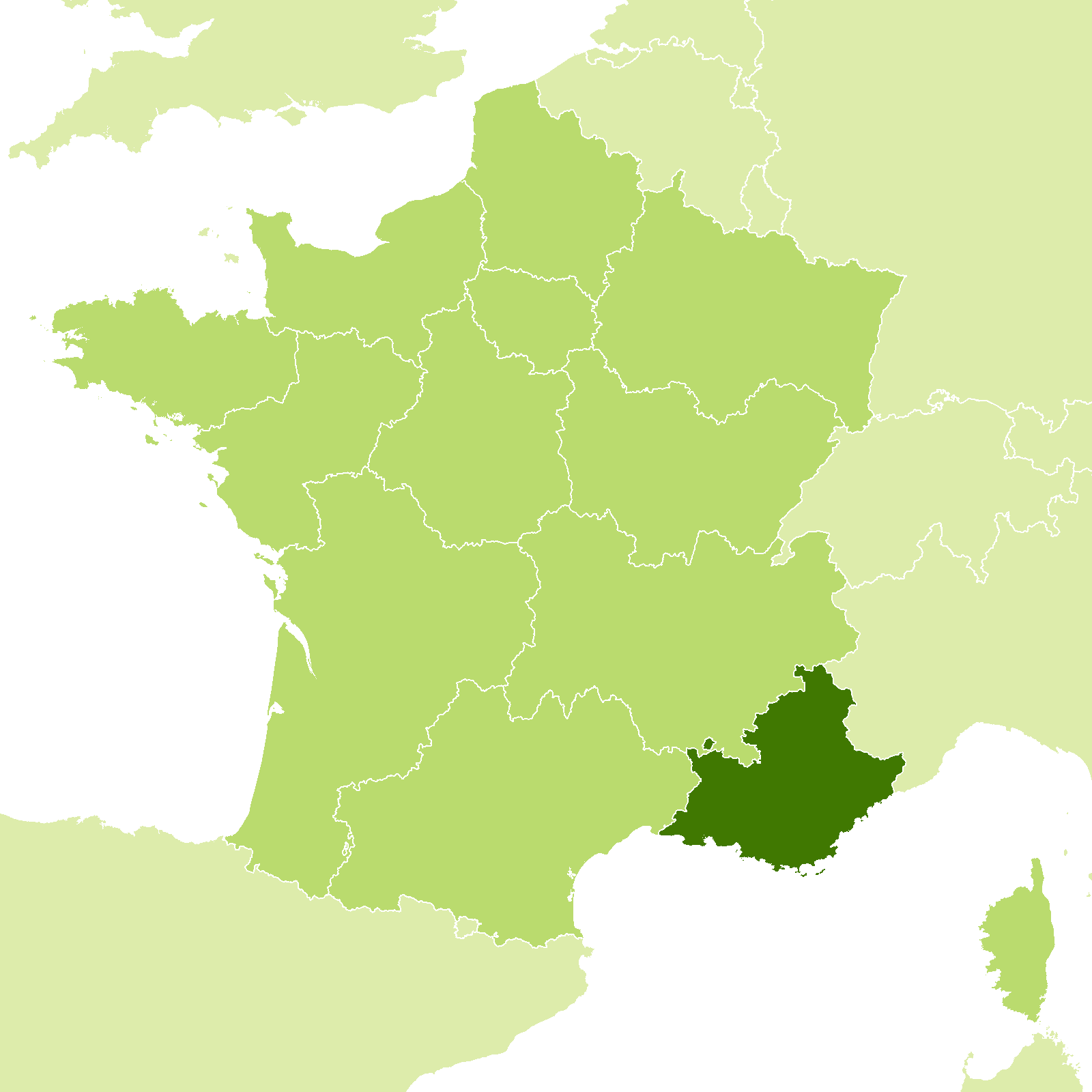
France is one the most varied countries in the world. In passing from the Atlantic Ocean to the Alps, or from north to south, one encounters all varieties of climates ranging from the alpine to the subtropical. France includes the valleys and peaks of the Massif Central, the rocky Atlantic coast of Brittany, the chateaux of the Loire, the French Alps, and the sun and brightness of Provence and the Mediterranean Coast. The country has torrents, cascades, lakes, rivers, streams, water in abundance, extinct volcanes, and the highest mountain in Europe.
Contents
Map
 Relief map of France
What is the landscape of France like?
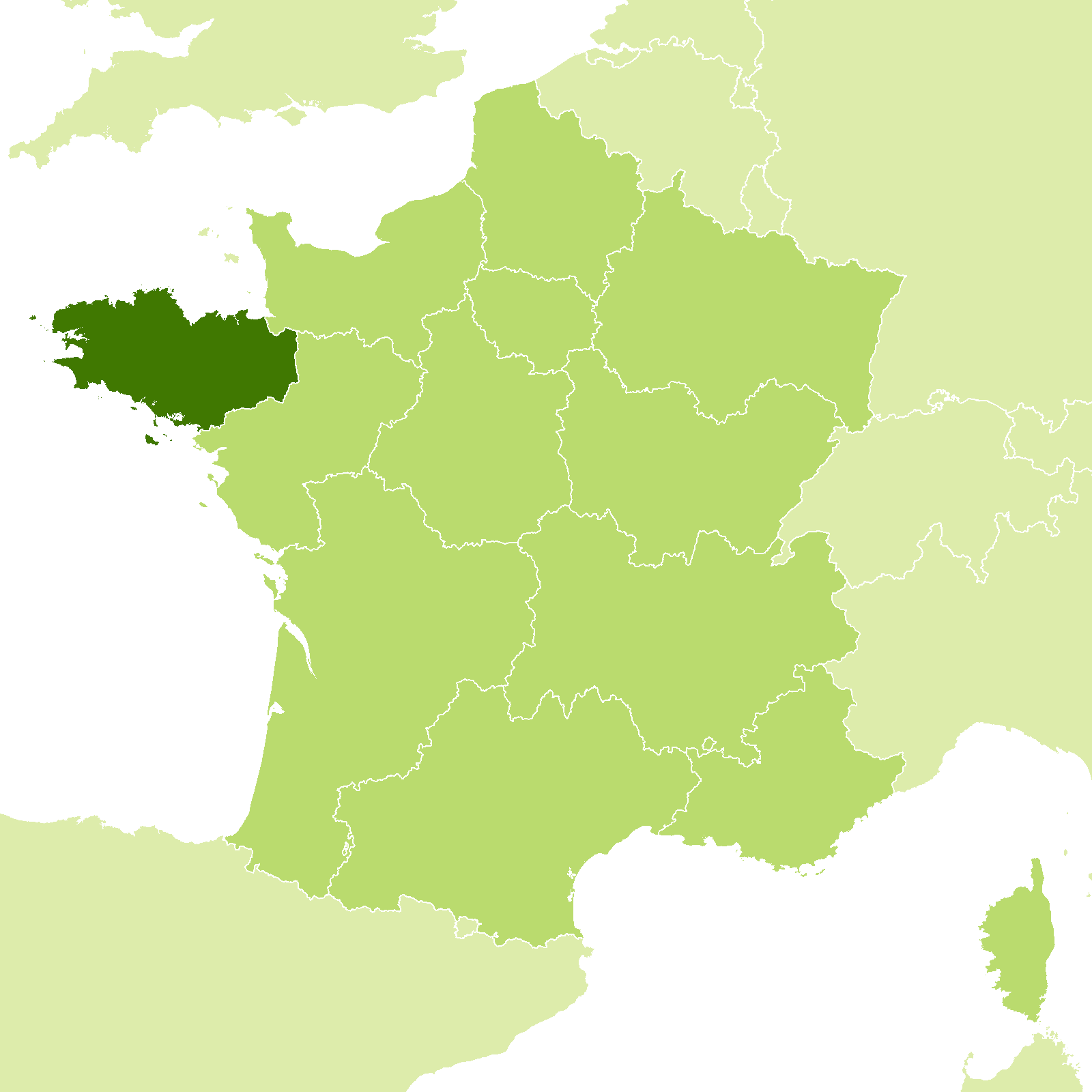
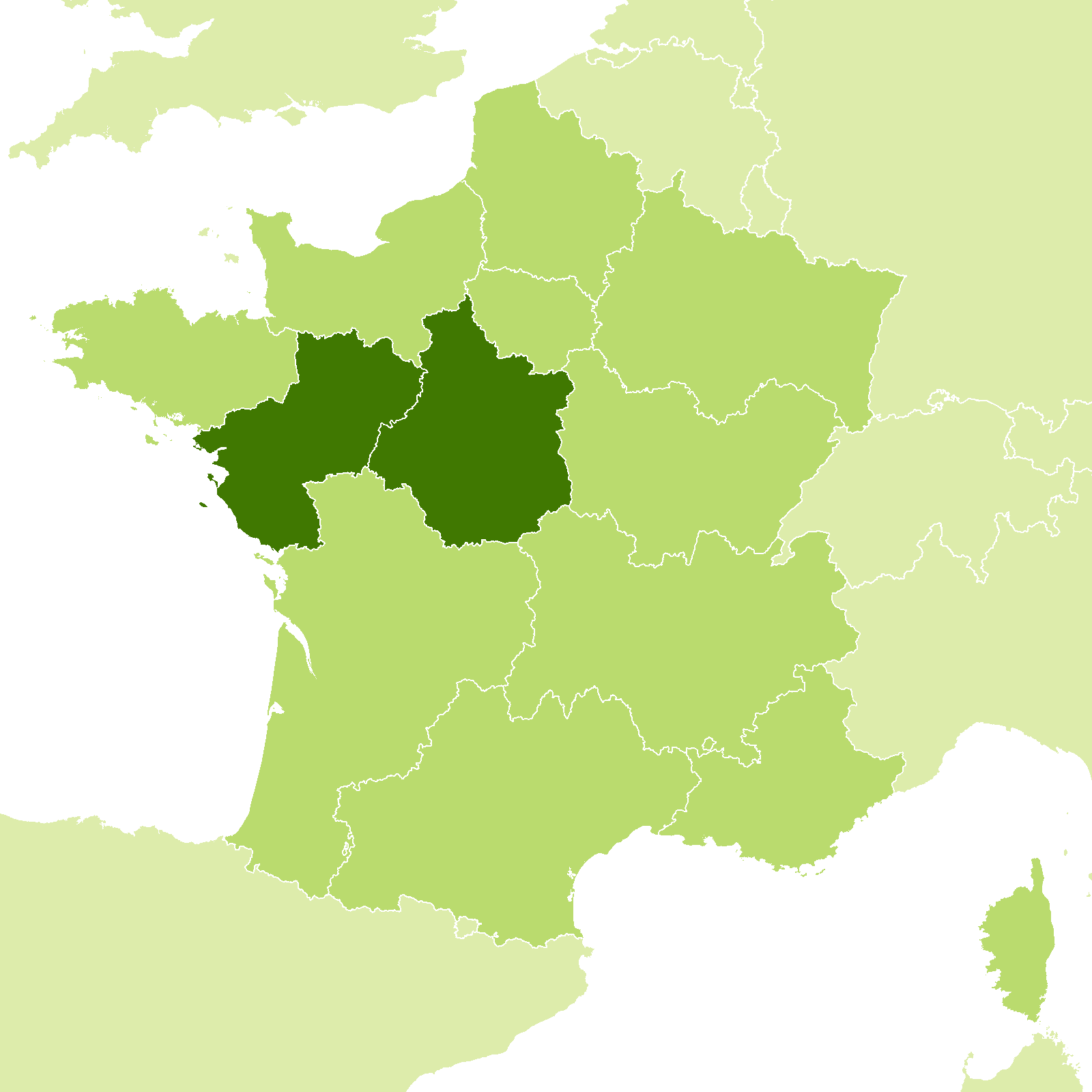
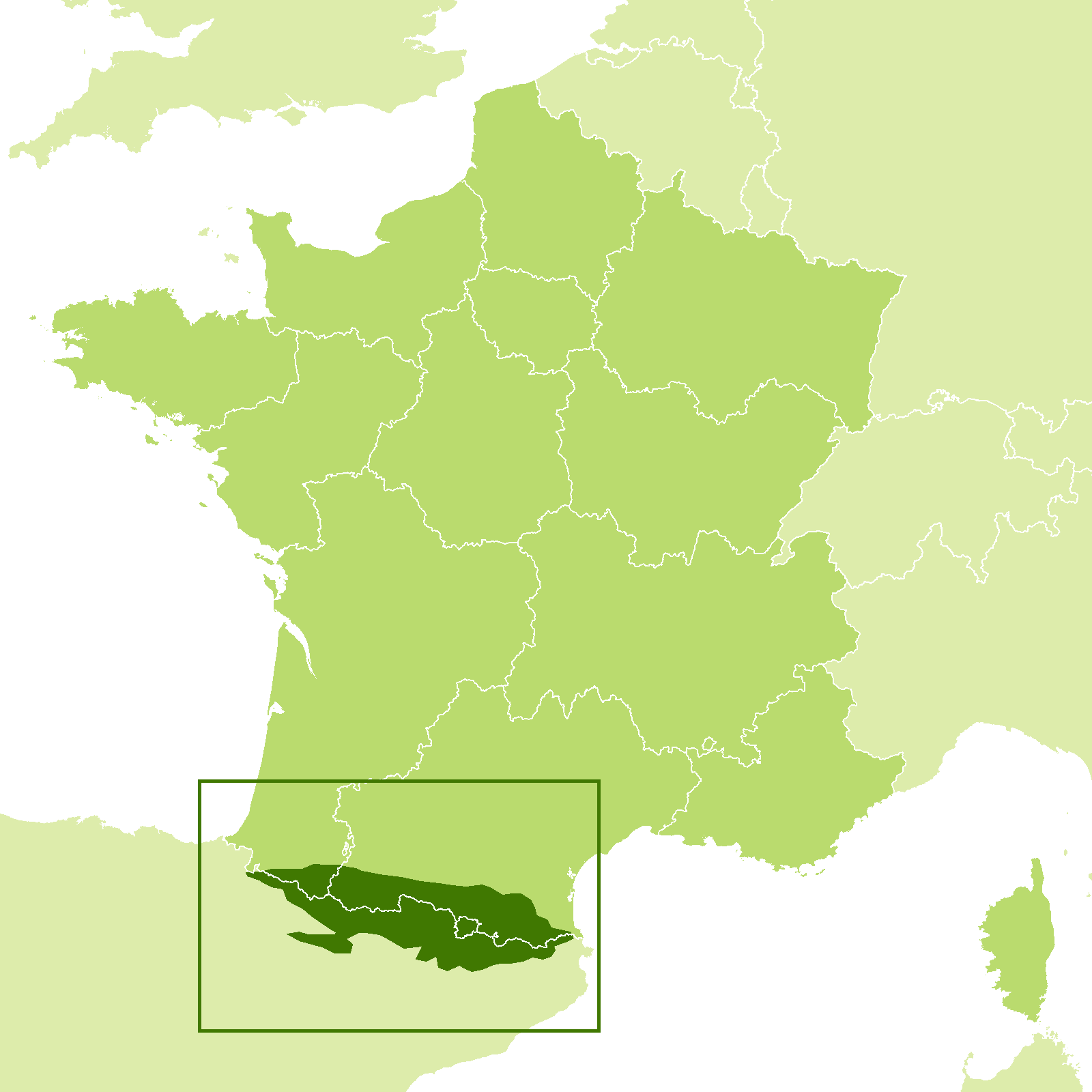
The landscape of France varies from the wild coasts of Brittany in the north, to the Loire valley in the center, the savage magnificence of peaks and glaciers of the Alps in the east, Provence with its sunny skies in the south, and of course the Pyrenees with some of the finest scenery in Europe.
 "Aups, Provence
What is the nature of France like?
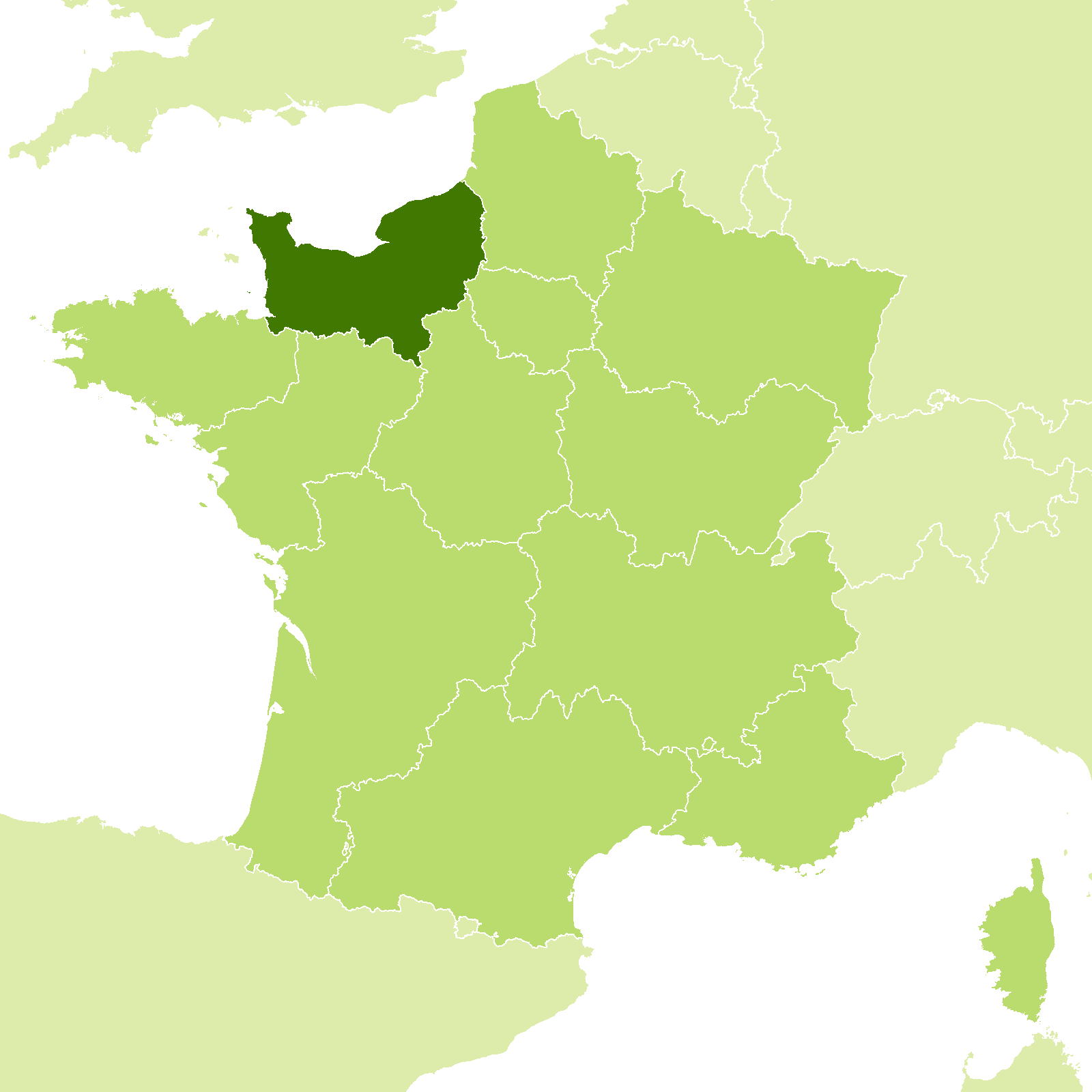
In north and central France can be found forests of oak, beech, and hornbeam; intermixed with birch, poplar, ash, and walnut trees. In the east, in the Vosges and Jura, are fine forests of firs, pines, larches, etc. Normandy and Brittany are provinces of green meadows and apple orchards, elsewhere there are luxuriant vineyards across much of the country. Everywhere there are beautiful trees with delicate foliage, walnut, almond, chestnut, and fruit trees. Even in the midst of harsh mountain climates there are valleys with mulberry and fruit trees.
Mediterranean-style evergreens predominate in the south of France, where grow subtropical plants such as the myrtle, arbutus, laurel, holm-oak, olive and fig. In Provence and the Riviera grow drought-resitance plants: evergreen oaks, olives, cypresses, Aleppo pines, and woody shrubs being armed against evaporation with leaves that are small, hard, and varnished. The orange, date-palm and eucalyptus have been acclimatized on the Mediterranean coast.
 Vineyards of Cramant, Champagne
What is the climate of France like?
See our main article: The Climate of France
The climate of France ranges from the foggy promontories of Brittany to the sunny shores of Provence. Much of France lies under the influence of the Atlantic Ocean, which supplies abundant rainfall and moderates the cold. In Brittany, the winter temperature almost never descends below freezing point, and the summer lacks heat. In the interior the summers become hotter, the winters cooler, but although the rains are less frequent, they tend to be heavier. As a result, there is a vigorous, lush vegetation across much of the country.
The Mediterranean region, however, is the most isolated of any in France, being shut in by the mountains. Here summers are very dry—from the beginning of June to the end of September rain is extremely rare. The atmosphere is almost always clear, and the skies cloudless. Sometimes a dry, cold north wind, the mistral, blows in Provence and accentuates the dryness.
| Climate data for Paris (1981–2010) | |||||||||||||
|---|---|---|---|---|---|---|---|---|---|---|---|---|---|
| Month | Jan | Feb | Mar | Apr | May | Jun | Jul | Aug | Sep | Oct | Nov | Dec | Year |
| Average high °C (°F) | 7.2 (45.0) | 8.3 (46.9) | 12.2 (54.0) | 15.6 (60.1) | 19.6 (67.3) | 22.7 (72.9) | 25.2 (77.4) | 25.0 (77.0) | 21.1 (70.0) | 16.3 (61.3) | 10.8 (51.4) | 7.5 (45.5) | 16.0 (60.8) |
| Daily mean °C (°F) | 4.9 (40.8) | 5.6 (42.1) | 8.8 (47.8) | 11.5 (52.7) | 15.2 (59.4) | 18.3 (64.9) | 20.5 (68.9) | 20.3 (68.5) | 16.9 (62.4) | 13.0 (55.4) | 8.3 (46.9) | 5.5 (41.9) | 12.4 (54.3) |
| Average low °C (°F) | 2.7 (36.9) | 2.8 (37.0) | 5.3 (41.5) | 7.3 (45.1) | 10.9 (51.6) | 13.8 (56.8) | 15.8 (60.4) | 15.7 (60.3) | 12.7 (54.9) | 9.6 (49.3) | 5.8 (42.4) | 3.4 (38.1) | 8.8 (47.8) |
| Average precipitation mm (inches) | 51.0 (2.01) | 41.2 (1.62) | 47.6 (1.87) | 51.8 (2.04) | 63.2 (2.49) | 49.6 (1.95) | 62.3 (2.45) | 52.7 (2.07) | 47.6 (1.87) | 61.5 (2.42) | 51.1 (2.01) | 57.8 (2.28) | 637.4 (25.09) |
| Source: Meteo France | |||||||||||||
 Château de Haut-Andlau, Alsace
France

Rendez-vous en France
| Location: | Western Europe, bordering the Bay of Biscay and English Channel, between Belgium and Spain, southeast of the UK; bordering the Mediterranean Sea, between Italy and Spain; |
| Coordinates: | 46° 00′ N, 02° 00′ E |
| Size: | • 960 km N-S; 950 km E-W • 600 miles N-S; 590 miles E-W |
| Terrain: | Mostly flat plains or gently rolling hills in north and west; remainder is mountainous, especially Pyrenees in south, Alps in east; |
| Climate: | Generally cool winters and warm summers, but mild winters and hot summers along the Mediterranean; occasional strong, cold, dry, north-to-northwesterly wind known as the mistral |
| Highest point: | Mont Blanc 4,808 m / 15,774 ft |
| Forest: | 31% (2010 est.) (source) |
| Population: | 67,848,156 (July 2020 est.) |
| Population density: | Medium (104/km²) |
| Capital: | Paris |
| Languages: | French (official). Regional dialects and languages: Provençal, Breton, Alsatian, Corsican, Catalan, Basque, Flemish, Occitan, Picard |
| Human Development Index: | Very high (0.901) |
| Currency: | Euro |


