


The Geography of
Southwest France
Why visit Southwest France?
intro
Contents
Map
 Relief map of Southwest France
What is the landscape of Southwest France like?
The southwest of France is taken up by the the vast basin of Aquitaine which stetches from Bordeaux to Toulouse. In the north, the plains are dissected by wide, deep valleys—under the influence of the mild Atlantic climate there are many meadows and woodlands which enjoy a soft, sunny climate.
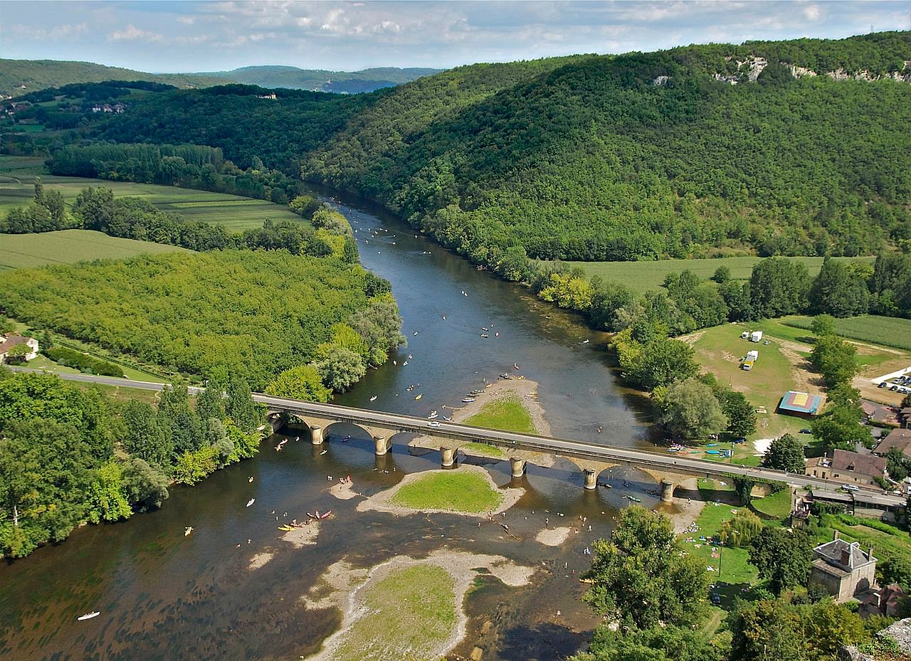
The valley of the Garonne is fed by torrents from the Pyrenees and streams which have traversed the Massif Central. In the upper valley stretches the plain of Toulouse where are grown the largest crops of grain in southern France. The lower valley, around Bordeaux, is known for its grape vines—here there are vineyards as far as the eye can see. The united waters of the Garonne and Dordogne rivers form a vast estuary, known as Gironde, varying in width between two and six miles, and dotted over with numerous islands.
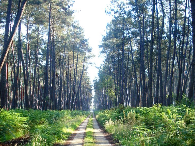
On the coast is the low-lying plain of the Landes, which is watered by numerous coastal rivers. It was once a vast wetland, although much of the area has now been drained. The dunes skirting the shore of the Atlantic have been contained by the planting of a vast forest of pines, cork-oak, and other trees. There are now large lakes—once ancient bays—entirely shut off from the sea.
The south of Aquitaine, which includes the ancient region of Gascony, contains of the a multitude of valleys radiate out from the Pyrenees in every direction. All along the slopes and in the valleys there is a great many little hamlets where grain and fruit is grown. In between, the slopes the hills are covered with trees.
What is the nature of Southwest like?
TEXT
What is the climate of Southwest France like?
TEXT
The official websites
Belize
Under the shade we flourish
| Location: | ### |
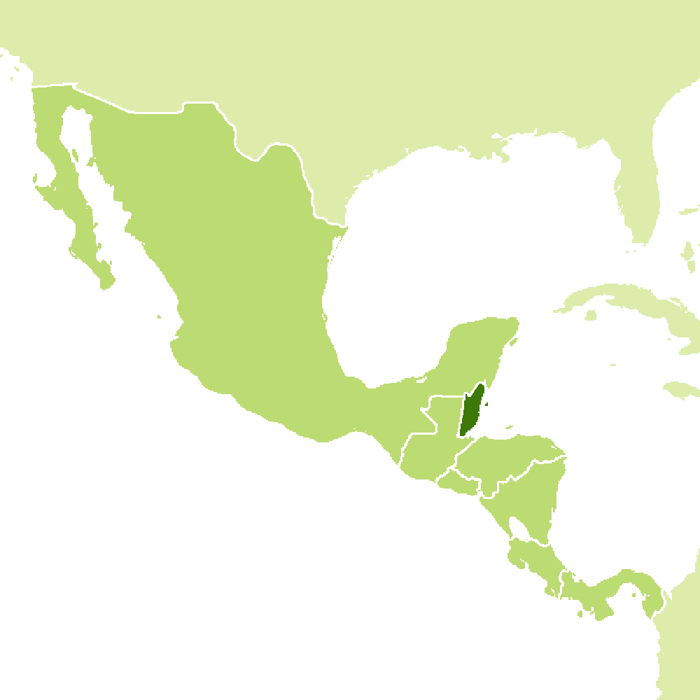
| Coordinates: | 17° 15′ N, 88° 45′ W |
| Size: | • ### km N-S; ### km E-W • ### miles N-S; ### miles E-W |
| Terrain: | ### |
| Climate: | ### |
| Highest point: | ### ### m / ### ft |
| Forest: | ### |
| Population: | ### |
| Population density: | Low (###/km²) |
| Capital: | ### |
| Languages: | ### |
| Human Development Index: | ### |
| Currency: | ### |