The Geography of
Luxembourg
Why visit Luxembourg?
The tiny Grand Duchy of Luxembourg offers some of the loveliest scenery in western Europe. It is a veritable "pocket" state complete with fairytale castles. This is one of the wealthiest countries, per capita, in the world and is completely charming.
Contents
Map
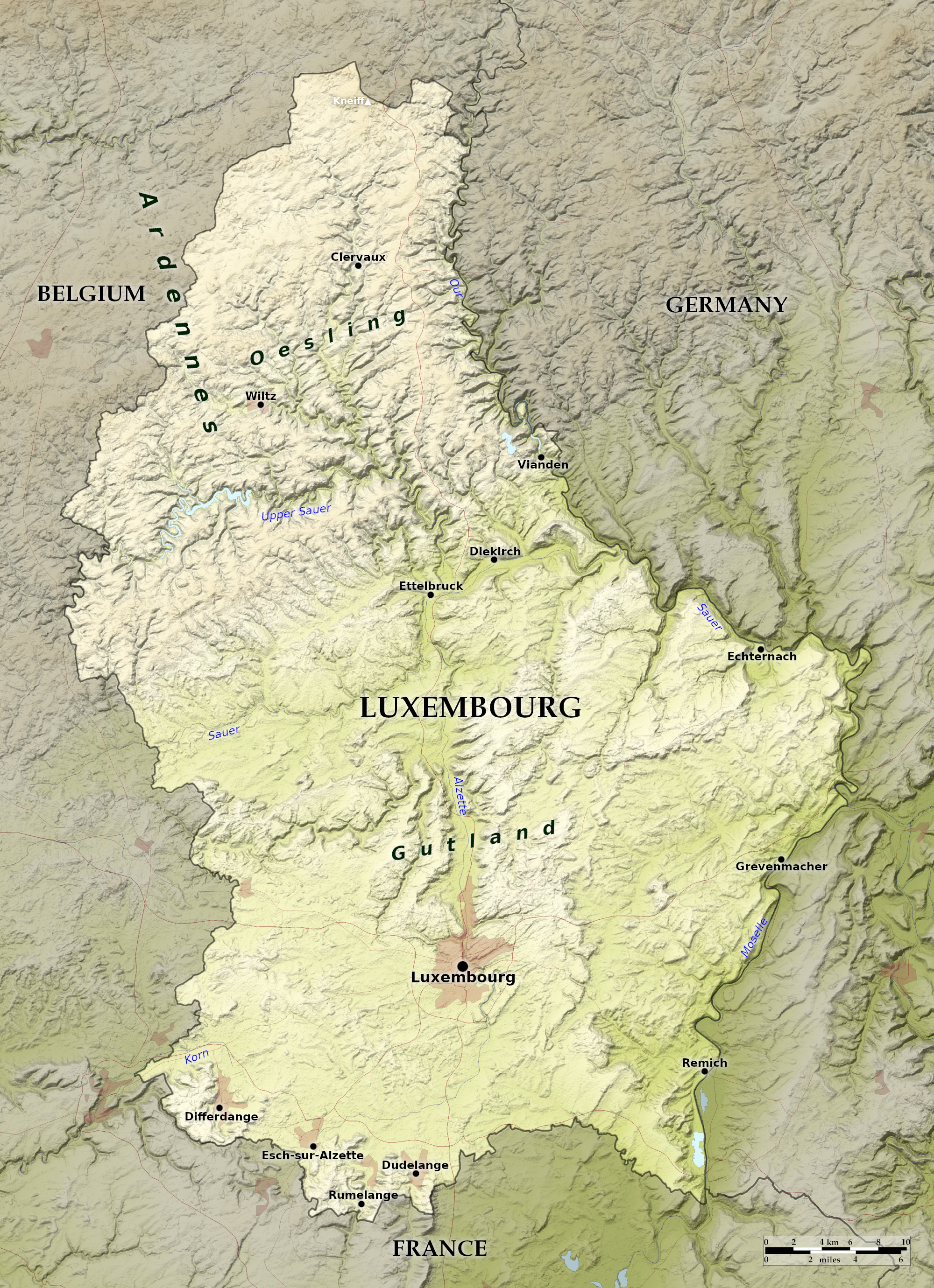 Relief map of Luxembourg
What is the landscape of Luxembourg like?
Luxembourg is a small independent country situated between Belgium, France and Germany. It is divided into two major geographic regions:
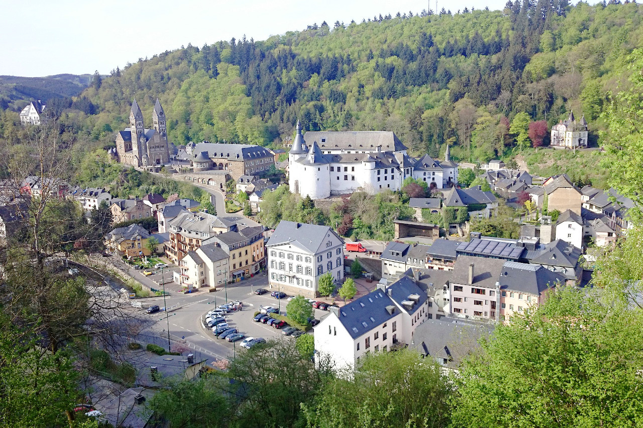
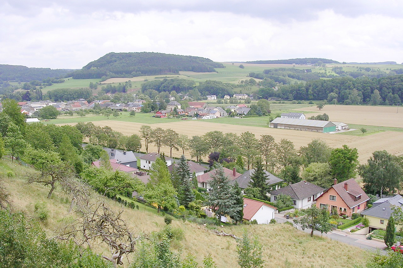
The northern third of the country, known as the Oesling, is a plateau region of the Ardennes extending from Belgium. This northern section of Luxembourg is wild and rugged. Ruins of fortresses and castles brood among the crags. There are wide rivers in which fish abound, and deep misty ravines. The most important lake is the Upper Sûre Lake, situated on the course of the Sûre River as it winds across the upper portion of the country. Esch-sur-Sûre is located at its eastern end, which is the site of both a nature reserve and a hydroelectric dam.
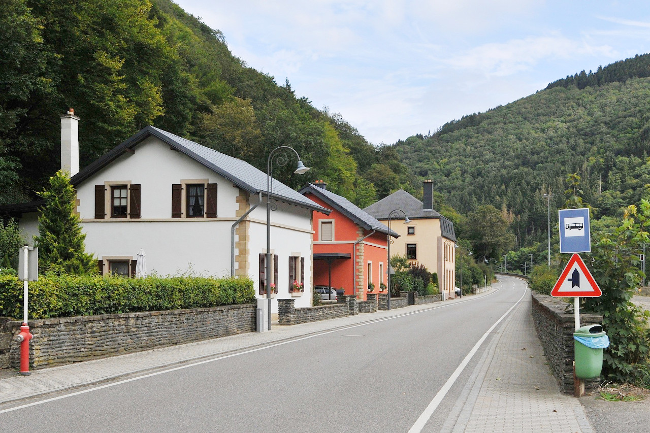
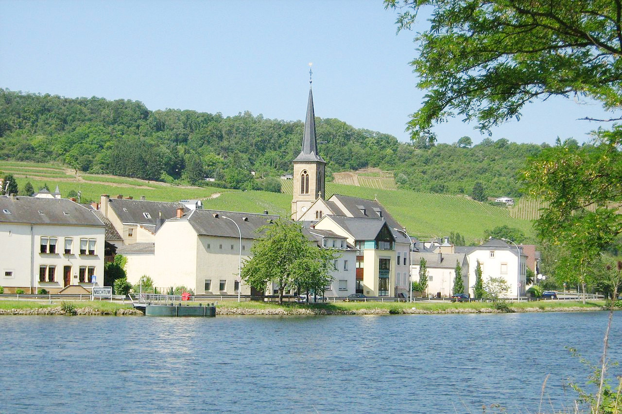
The southern two-thirds of Luxembourg, known as Gutland, or the Bon Pays, is a region of lower elevation consisting of hills and broad valleys. It is pleasant, rolling farmland. To the east is the Moselle River Valley, known for its vineyards. Hiking is a delight; the rivers are ideal for canoers, and campsites and cozy hotels line the waterways.
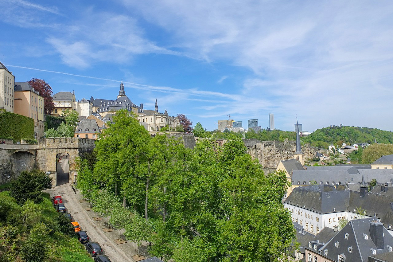
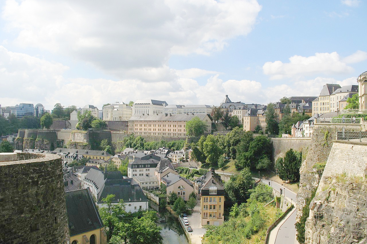
The capital city, also called Luxembourg, is very ancient. Its position is very romantic, steep cliffs overhanging the winding river, and the principal portion of the town with the palace and public buildings covering a central plateau. The city was once strongly fortified, but is now beautifully laid out with fine churches and castles.
What is the nature of Luxembourg like?
In the north are the Ardennes which extend into southeast Belgium; they are a cultivated wilderness in the heart of western Europe. The hills of the Ardennes are undulating but draped with woods almost everywhere, regardless of altitude.
What is the climate of Luxembourg like?
See our main article: The Climate of Luxembourg
Luxembourg's climate is temperate and mild. Summers are generally cool, with a mean temperature of about 18°C (65°F); winters average temperature being about 1°C (33°F). Rainfall occurs all year round, averaging about 750 mm (30 in) annually.
| Climate data for Luxembourg City (1991–2020) | |||||||||||||
|---|---|---|---|---|---|---|---|---|---|---|---|---|---|
| Month | Jan | Feb | Mar | Apr | May | Jun | Jul | Aug | Sep | Oct | Nov | Dec | Year |
| Average high °C (°F) | 3.8 (38.8) | 5.2 (41.4) | 9.8 (49.6) | 14.4 (57.9) | 18.4 (65.1) | 21.7 (71.1) | 23.9 (75.0) | 23.5 (74.3) | 19.0 (66.2) | 13.5 (56.3) | 7.7 (45.9) | 4.5 (40.1) | 13.8 (56.8) |
| Daily mean °C (°F) | 1.4 (34.5) | 2.2 (36.0) | 5.7 (42.3) | 9.6 (49.3) | 13.5 (56.3) | 16.7 (62.1) | 18.7 (65.7) | 18.4 (65.1) | 14.3 (57.7) | 9.9 (49.8) | 5.2 (41.4) | 2.3 (36.1) | 9.8 (49.6) |
| Average low °C (°F) | −1.0 (30.2) | −0.7 (30.7) | 2.0 (35.6) | 5.1 (41.2) | 8.7 (47.7) | 11.8 (53.2) | 13.8 (56.8) | 13.6 (56.5) | 10.3 (50.5) | 6.6 (43.9) | 2.8 (37.0) | 0.0 (32.0) | 6.1 (43.0) |
| Average precipitation mm (inches) | 72.0 (2.83) | 59.0 (2.32) | 57.0 (2.24) | 49.0 (1.93) | 71.2 (2.80) | 75.6 (2.98) | 71.5 (2.81) | 71.9 (2.83) | 66.2 (2.61) | 76.6 (3.02) | 72.1 (2.84) | 89.4 (3.52) | 831.5 (32.74) |
| Source: Meteolux | |||||||||||||
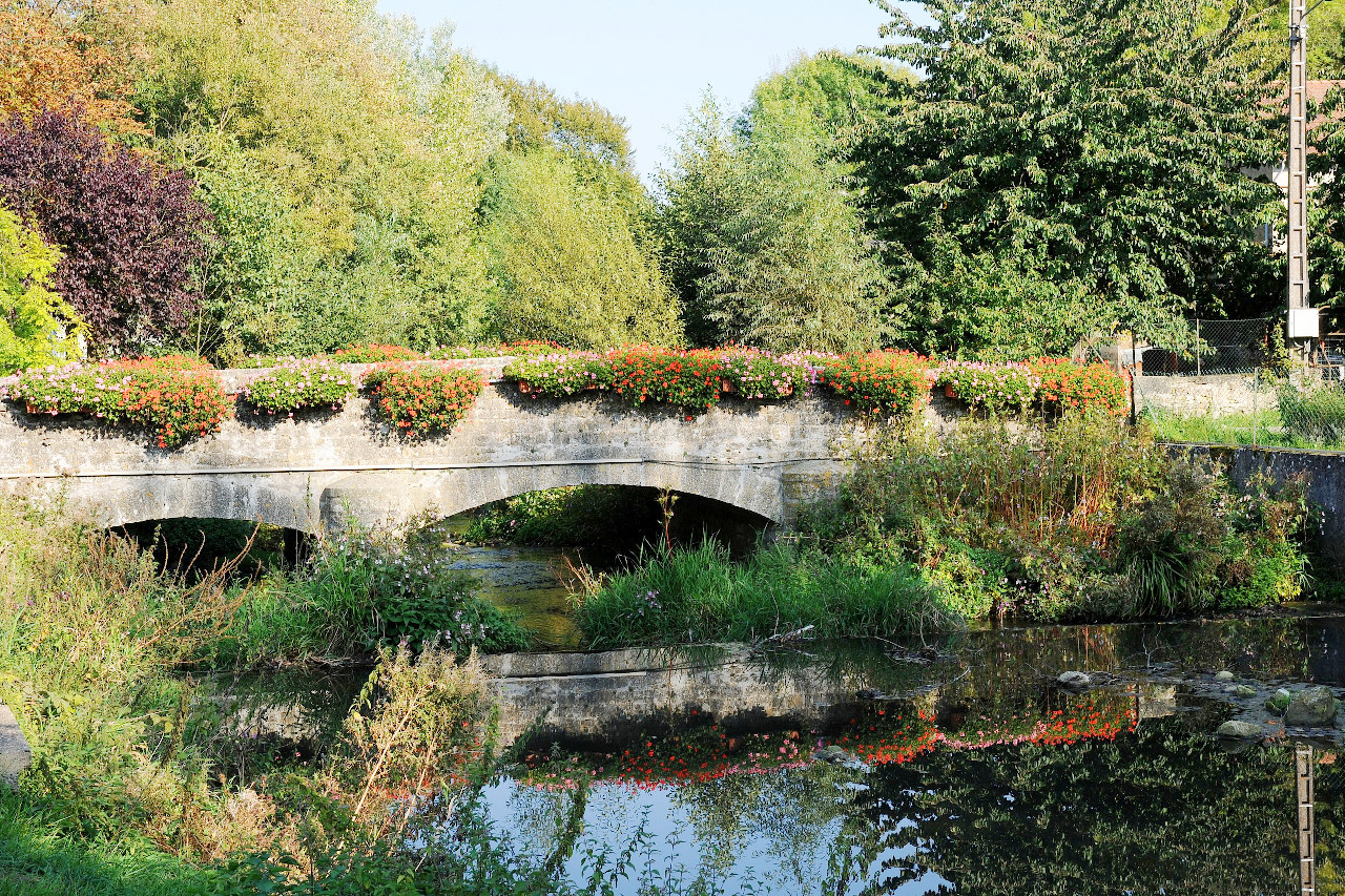 Bridge over the Gander river at Altwies
The official websites
Luxembourg
Live Your Unexpected
| Location: | Western Europe, between Belgium, France, and Germany |
| Coordinates: | 49° 45′ N, 06° 07′ E |
| Size: | • 80 km N-S; 55 km E-W • 50 miles N-S; 35 miles E-W |
| Terrain: | The north is a dissected plateau. The south is a lower region of hills and broad valleys |
| Climate: | A temperate climate, with warm summers, cool winters, and year-round rain |
| Highest point: | Kneiff 560 m / 1,840 ft |
| Forest: | 40% (2010 est.) (source) |
| Population: | 645,397 (2021 est.) |
| Population density: | High (242/km²) |
| Capital: | Luxembourg City |
| Languages: | Luxembourgish, French, German |
| Human Development Index: | Very high (0.916) |
| Currency: | Euro |