The Geography of
Morocco
Why visit Morocco?
Morocco is a beautiful country with a rich culture with influences from both Arab and Berber cultures. The sights and sounds of the country are amazing and different from anywhere else in the world. From the city of Casablanca to the awe-inspiring Atlas Mountains, there is something for everyone to see. The sounds of the Berber music and the camel bells are unforgettable. The best thing about Morocco is the people—they are warm and friendly and always happy to help.
Contents
Map
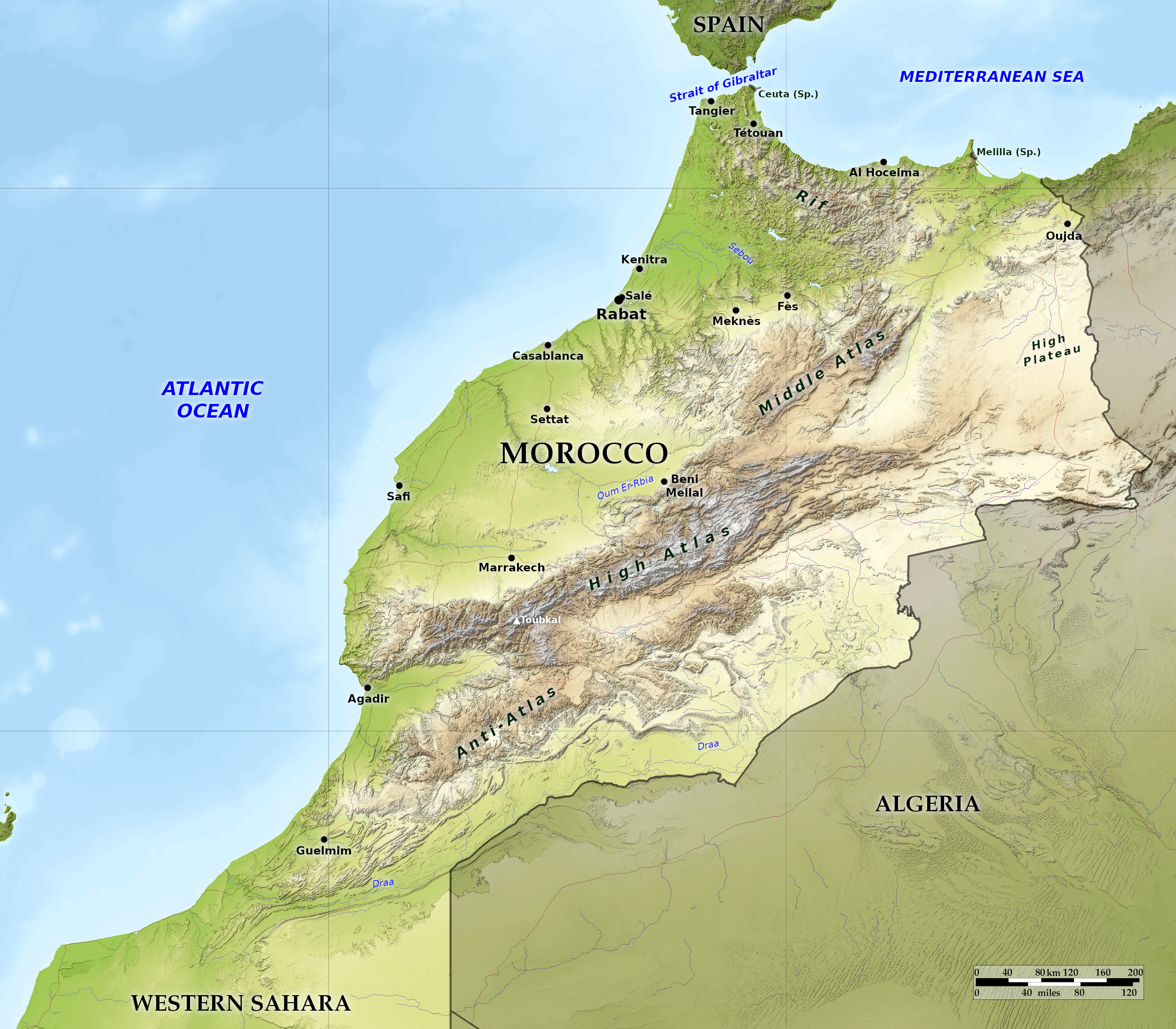 Relief map of Morocco
What is the landscape of Morocco like?
Morocco’s strong individuality comes from her being the only country in North Africa with a coastline on both the Atlantic Ocean and the Mediterranean Sea. Morocco falls naturally into four regions: 1. The Rif and the northern coast, comprising the chains of mountains near the Mediterranean Sea. 2. The western plains of the Atlantic coast, intermixed with gentle hill and valley. 3. The great range of the Atlas mountains. 4. The sub-Saharan plains and valleys southeast of Atlas.
The Rif and the northern coast
The Mediterranean coast is dominated by the rugged profile of the Rif mountains for about 200 miles. These hills, which have a general height from 750 to 1,000 meters (2,500–3,500 feet), continue to the east as the Beni-Snassen mountains to the west of Oujda. They have the effect of cutting off the rest of Morocco from the Mediterranean Sea. Along much of the coast, the Rif mountains drop sheer to the sea, ending in lines of cliff broken at intervals by narrow sweeps of sandy beach, but occasionally open up into beautiful and fertile valleys.
To the southeast of the little Spanish enclave of Melilla runs a low and sandy shore in front of a great salt marsh, the Nador lagoon. Melilla is a fortified rock held by the Spaniards since 1497 and forming a peninsula. Further west is the so-called Bay of Tetouan—little more than the straight stretch of coast marking the east coast of the Tangier peninsula which reaches out towards Europe, only nine miles away across the sea.
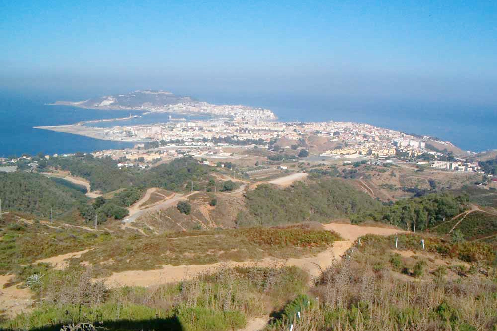
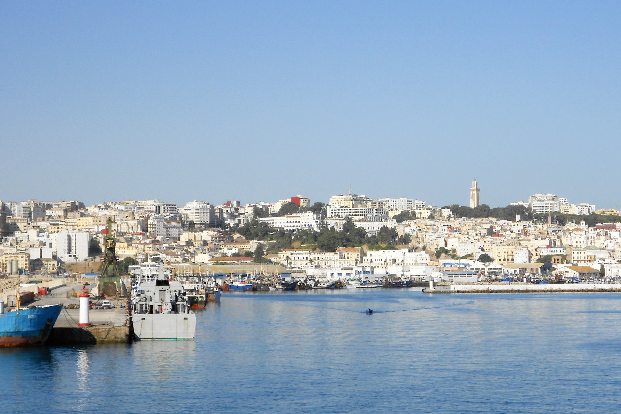
On the east side of the Tangier peninsula is Ceuta, the most important of Spain's two enclaves; the major landmark here is Jebel Musa (842 meters or 2,762 feet), which towers above the intervening hills marking the African side of the Strait of Gibraltar. On the west side is the Bay of Tangier one of the finest harbours in Morocco. The city of Tangier, situated so close to Europe, is a cultural crossroads between the two continents. West from Tangier the seaward extremity forms Cape Spartel, the northwest point of the African continent.
The Atlantic coast and the western plains
The Atlantic coast of Morocco is on the whole very regular; it has not a single gulf or major estuary, and the capes are few and far between. From Tangier all the way to Casablanca—Morocco's largest city— the coastline is for the most part straight and low although sometimes backed by rounded hills which occasionally form sea cliffs or small capes. The city of Safi, set amid rugged scenery, is notable for the high walls and square towers of Portuguese fortifications from the early 16th-century. Farther south the coast becomes more inaccessible and wild and we meet the western spurs of the Atlas mountains. Beyond this lies the port city of Agadir which was rebuilt following an earthquake in 1960, and is now known for its white buildings, wide boulevards, modern hotels and European-style cafes. To the south the coast continues hilly and fertile, but in the far south it becomes flatter and more sandy, and the Sahara may be said to begin.
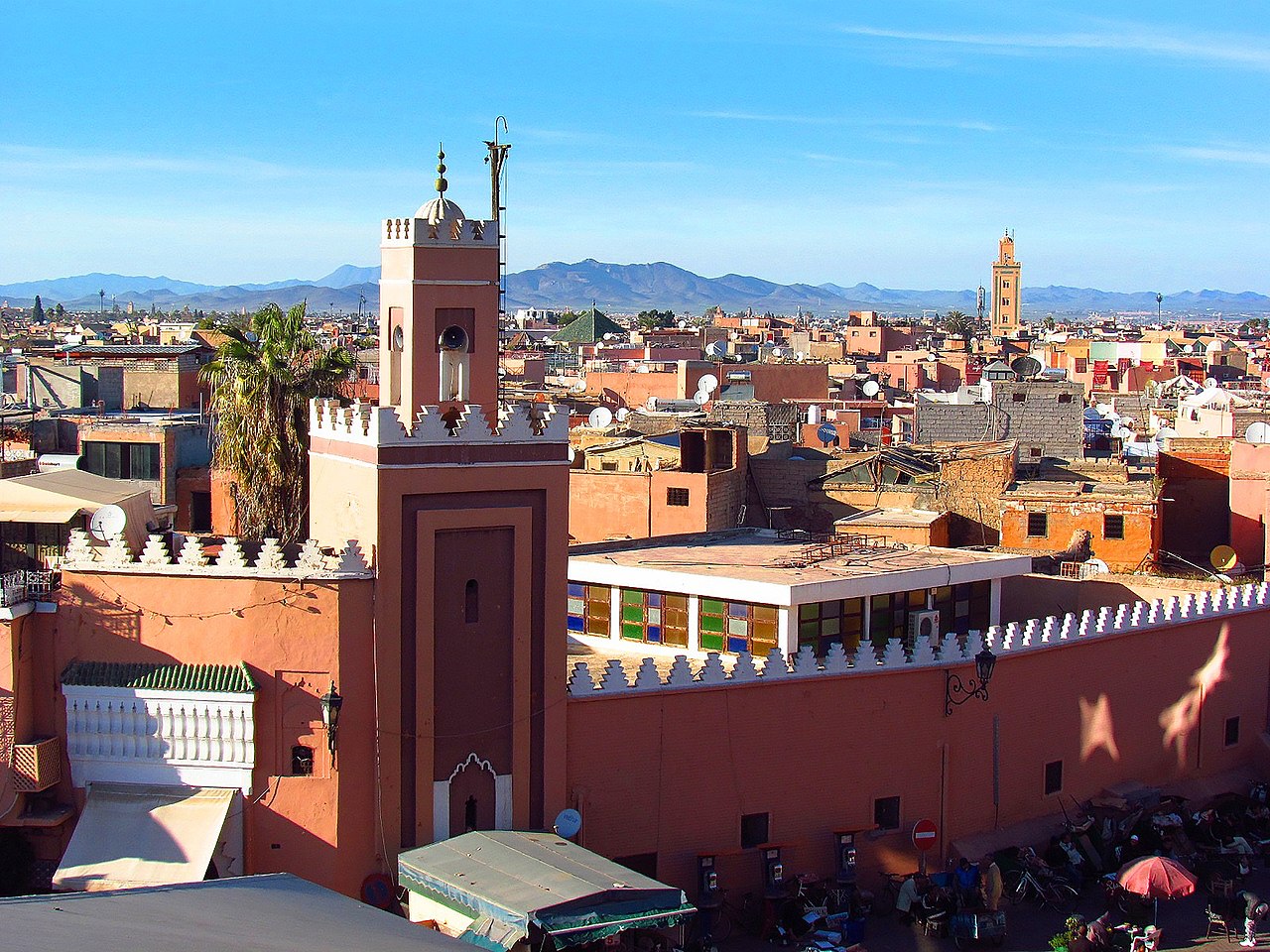
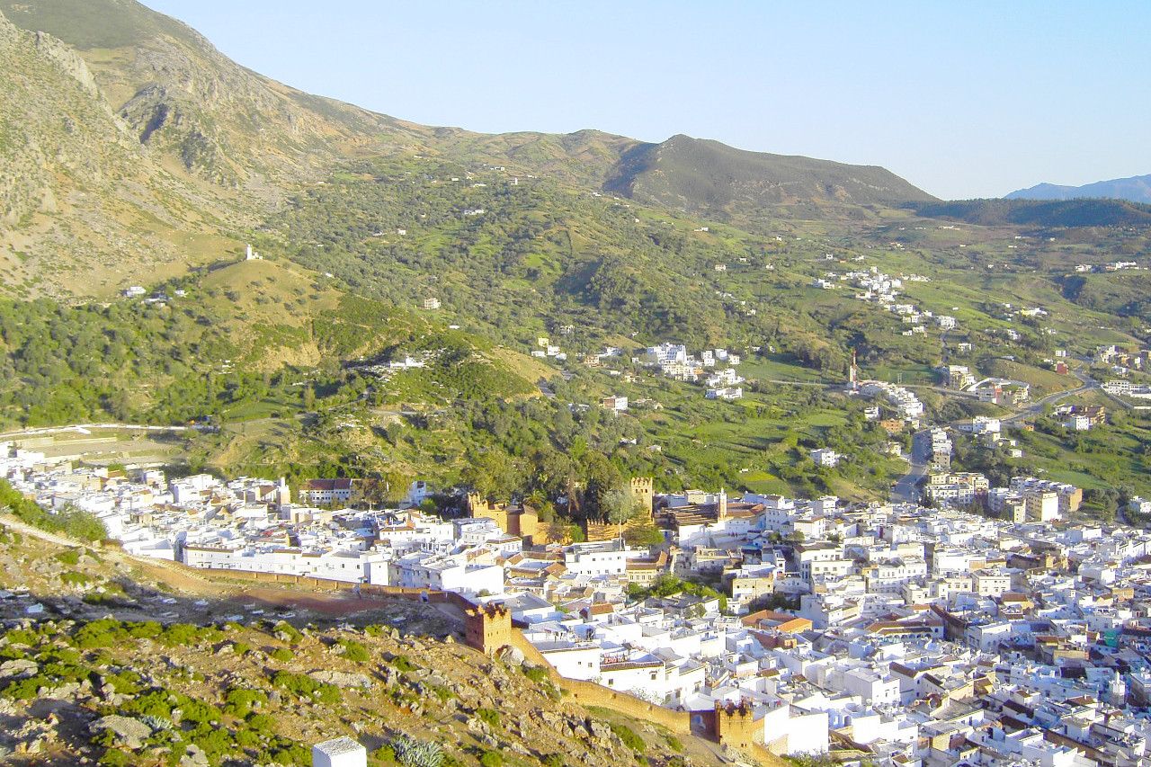
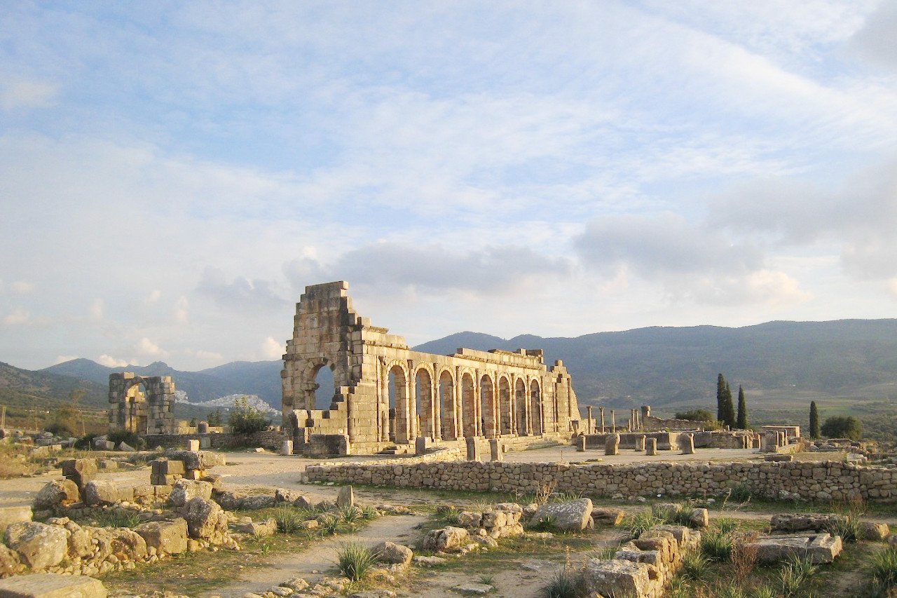
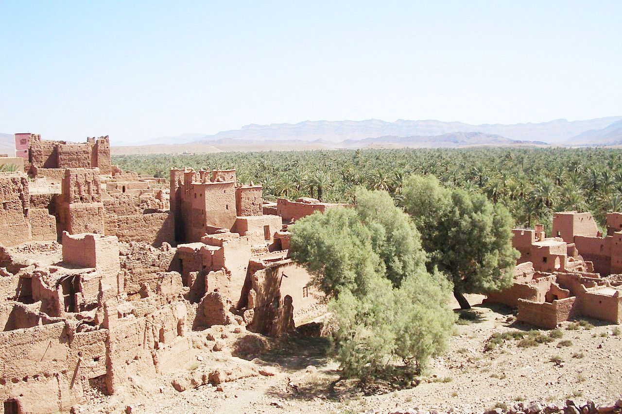
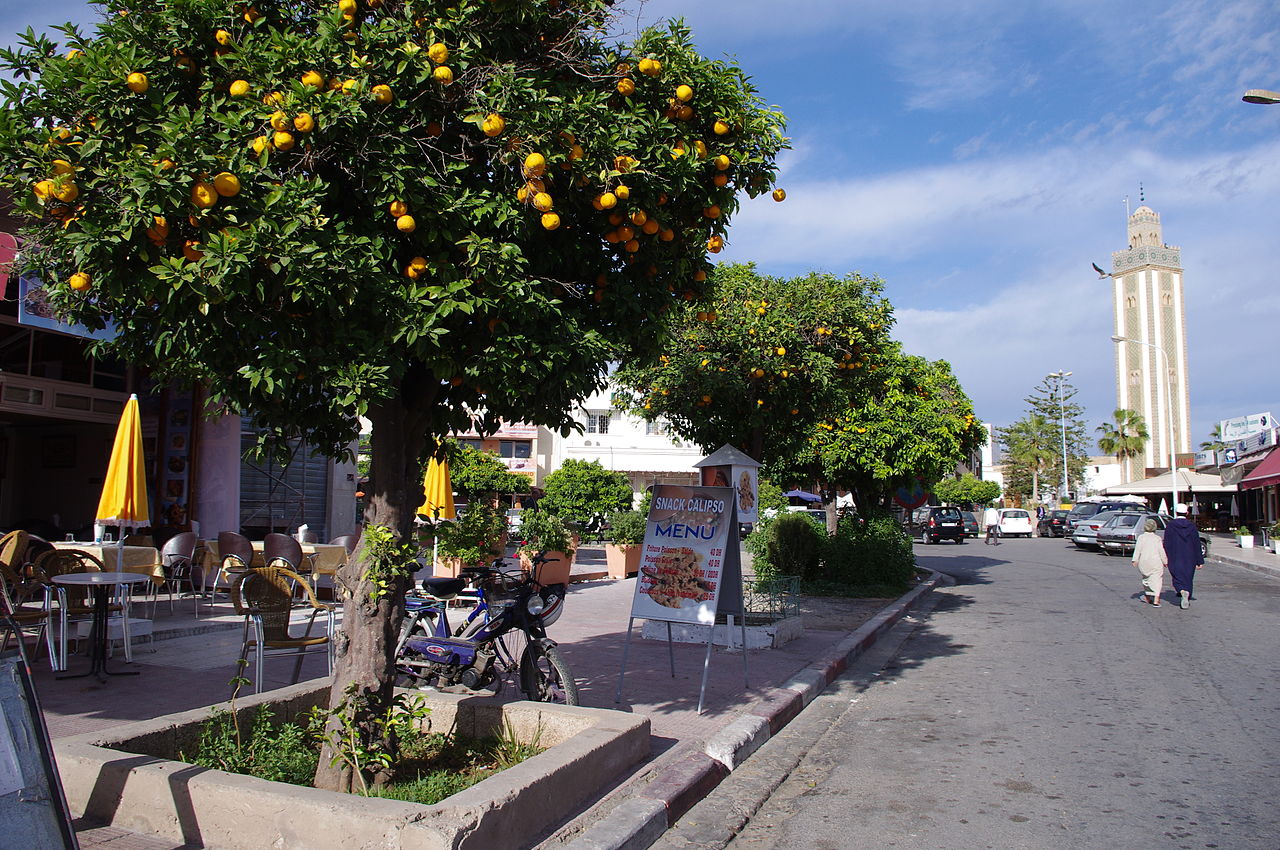
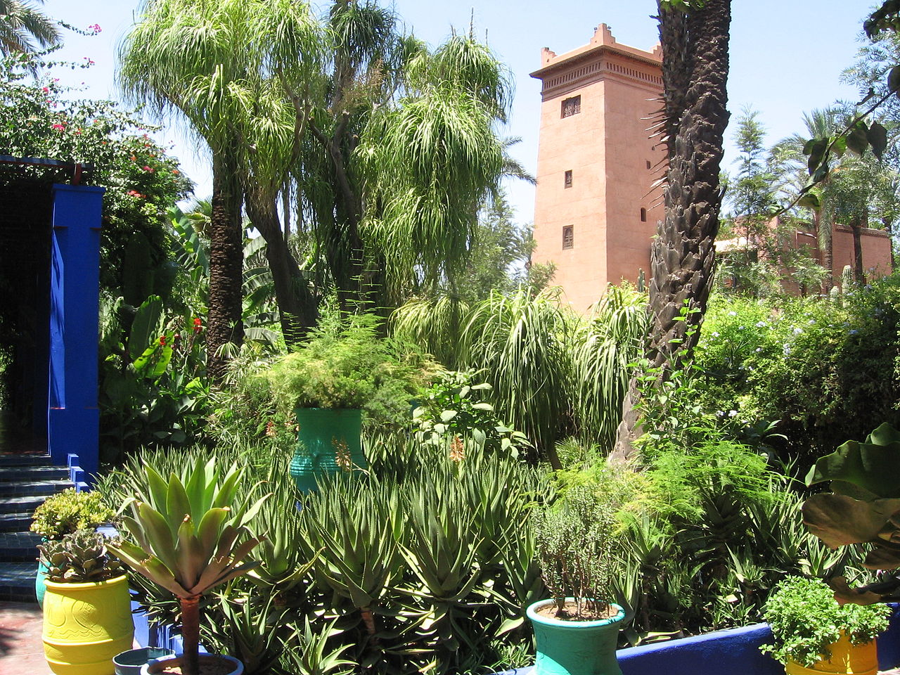
Inland, and enclosed by mountains, the fertile plains of western Morocco are the heart and the wealth of the country. The great cities to be found here are Fez, Meknes, and Marrakesh. The land is sometimes undulating and even partly wooded. This is a region of farms, fruit orchards, orange groves, and plantations of trees. Fez is a sprawling medieval city with a maze of narrow lanes and alleys over a broad valley. Marrakesh is the southern capital, white and reddish brown from Saharan dust, situated among palm groves and against the background of the immense serrated snow-capped Atlas mountains.
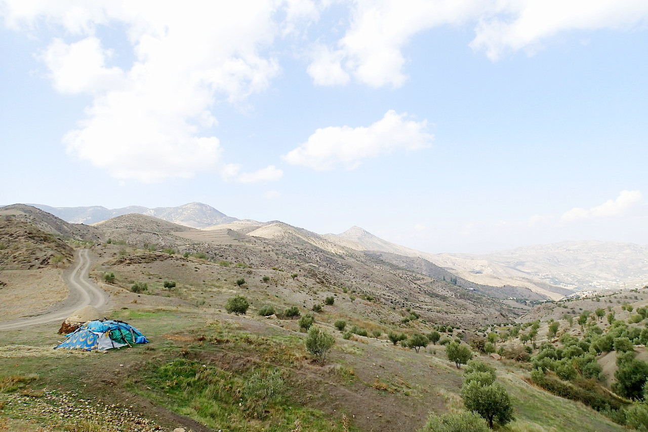
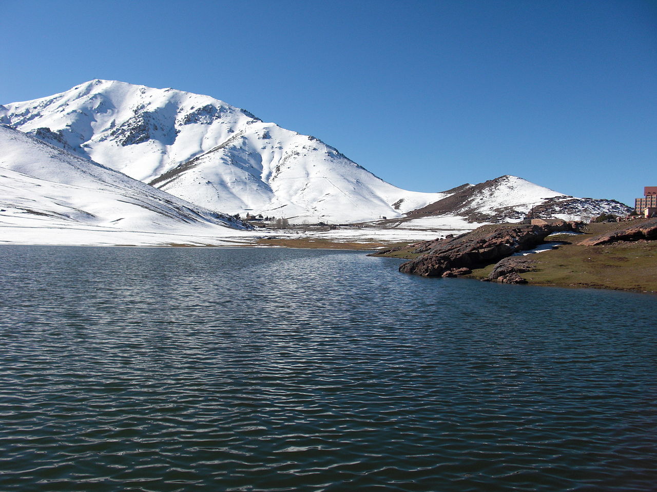
The Atlas mountains
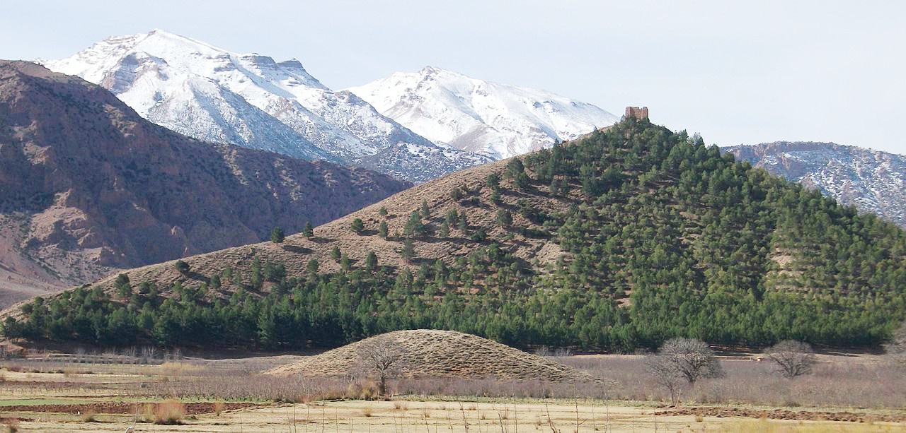
The most remarkable natural feature of Morocco are the Atlas mountains, being the western end of the range which stretches across North Africa. In Morocco it is composed of several parallel chains, and contains the highest peaks in North Africa. From the lowlands to the north it has a superb appearance, rising, as it seems, in steep and almost abrupt ascent.
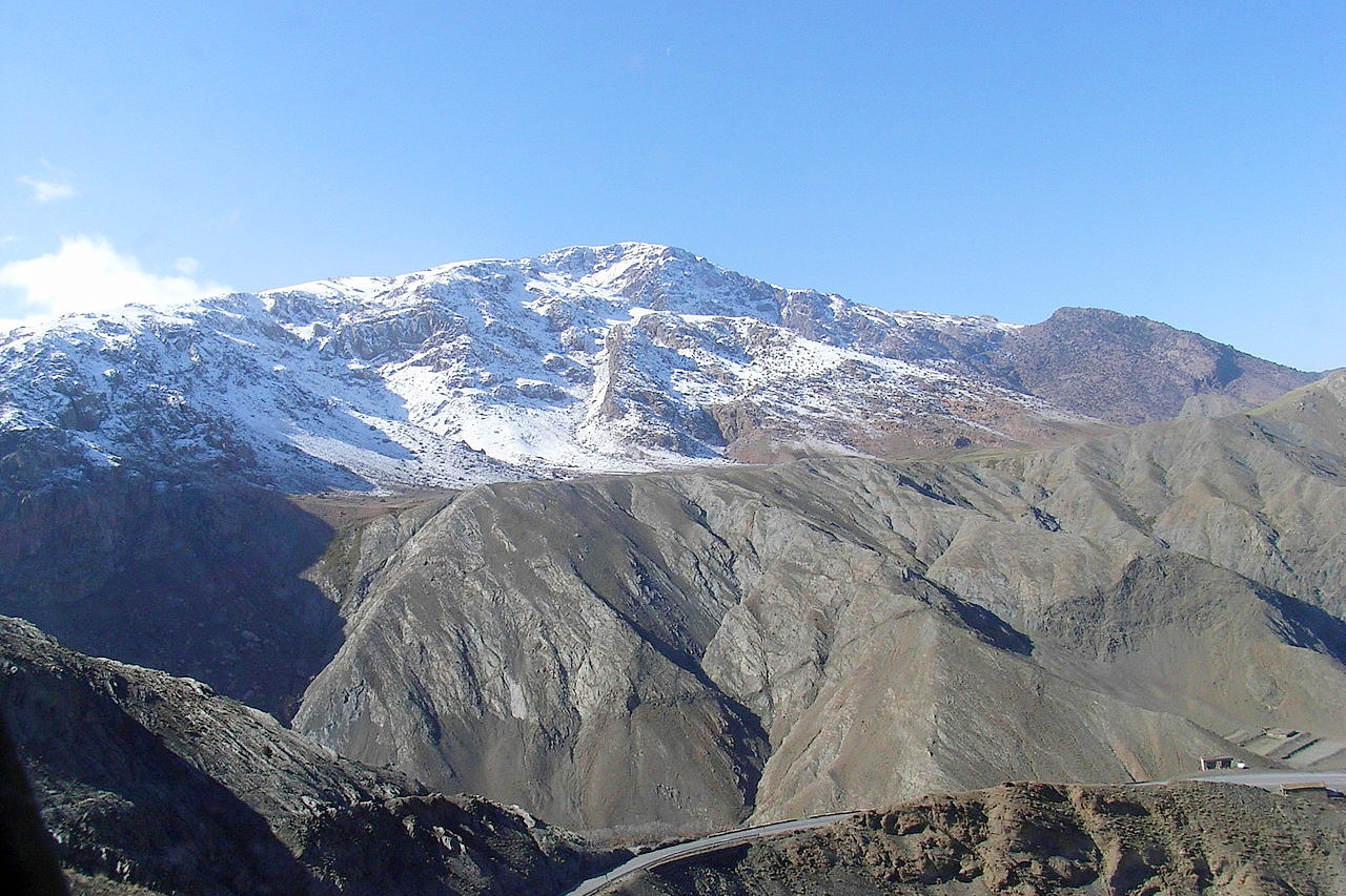
Three ranges can be distinguished: the High Atlas in the center, the Middle Atlas range to the north, and in the south the Anti-Atlas. The High and Middle Atlas form a true central mountain block, difficult to climb, except for sturdy mountaineers. At its western extremity the range averages from 1,200 to 1,500 meters (4,000–5,000 feet) in height; after a slight falling off for a few miles it rises till it exceeds 3,000 meters (10,000 feet); the main ridge then continues at a height of about 3,650 meters (12,000 feet). Several peaks in the High Atlas reach 4,000 meters (13,000 feet) while Toubkal at 4,167 meters (13,671 feet) is the highest mountain in all North Africa, and its summit is usually under snow from November until mid-June.
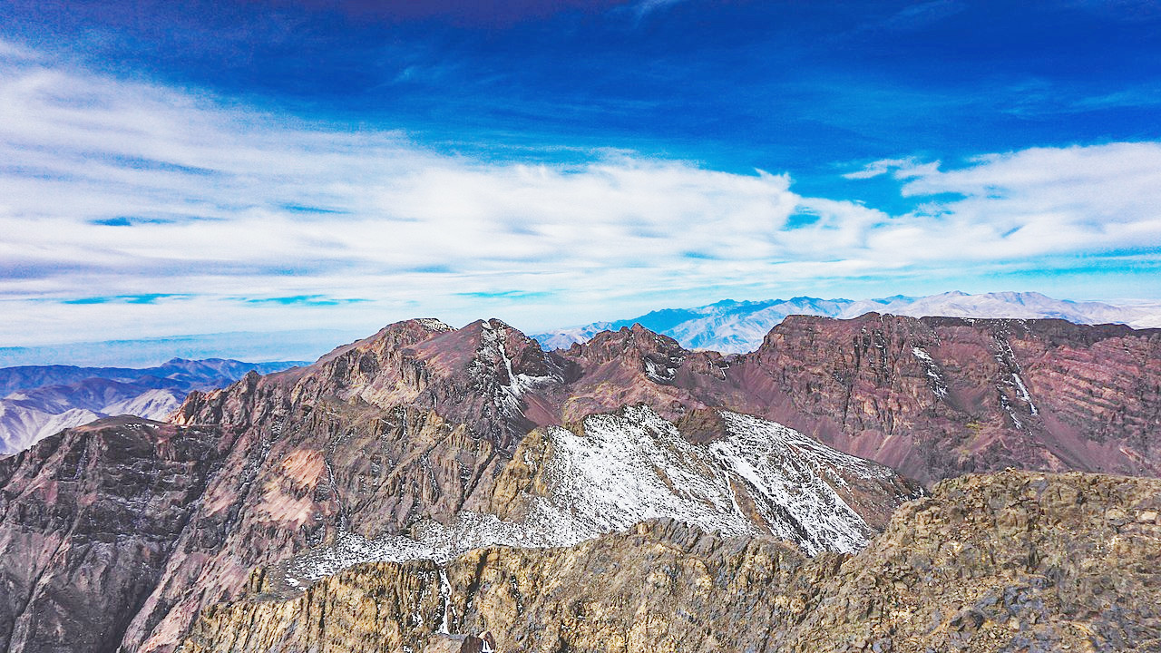 Toubkal mountain peak
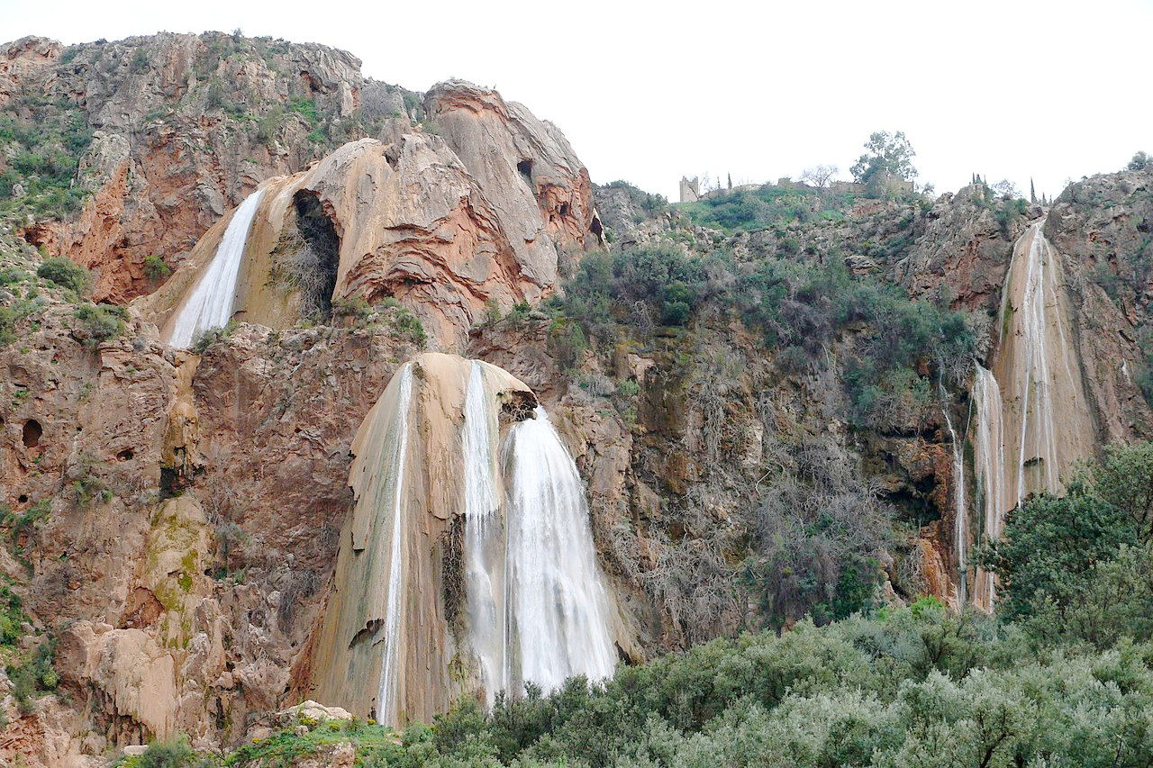
The Atlas mountains are also the reservoir of Morocco; from here vigorous rivers emerge in all directions. In almost every instance the summer flows are weak, but the wide beds and often high steep banks show the changes produced by the rains of winter and the thaws of spring. The Sebou and the Oum Er-Rbia, both more than 300 miles long, are the two of the most important rivers of North Africa.
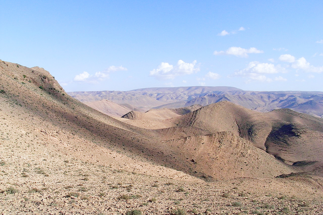
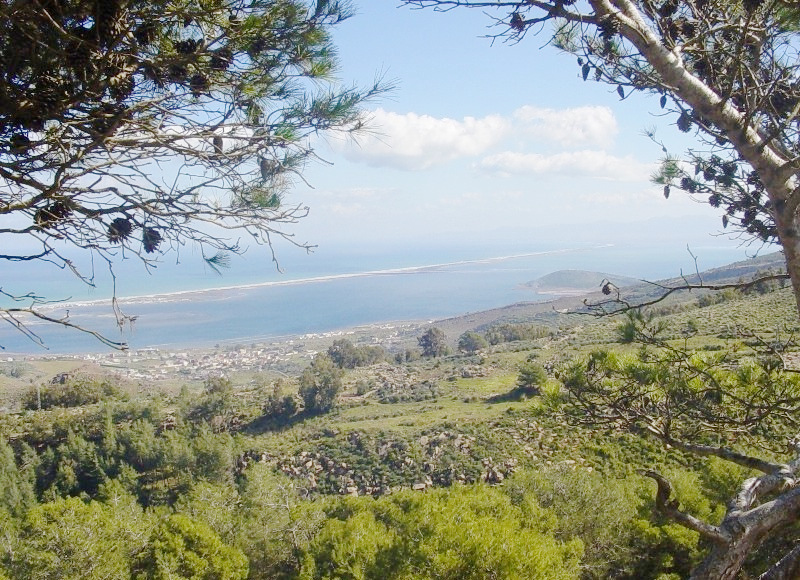
Adjoining the central chain are several table-lands of great extent: undulating steppe-like tracts with low hills. To the south, the Anti-Atlas mountains follows the general direction of the whole Atlas Complex to the north. From its southern flanks run rivers that, before they lose themselves in the desert sands, water the desert oases. The Draa with its 680 miles is the longest river in Morocco, but its flow is intermittent in its lower course.
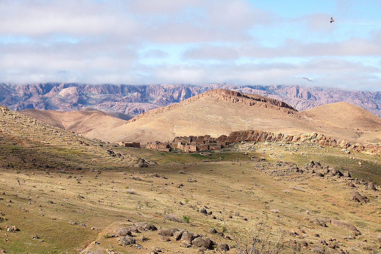
Outer Morocco
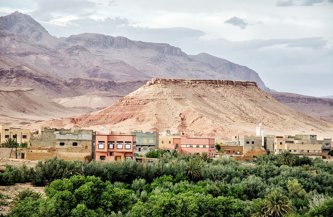
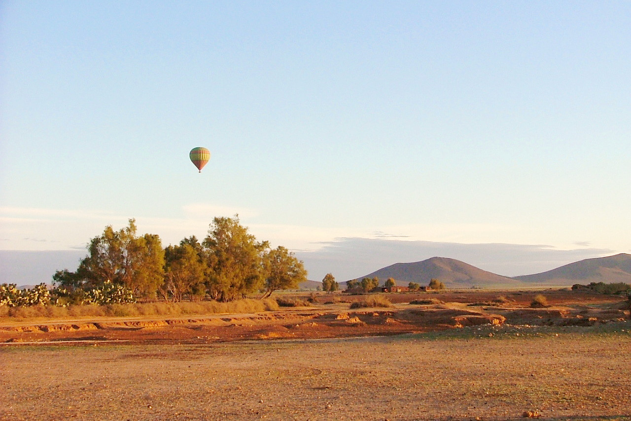
In the south and east, the Atlas mountains cut off a vast zone from the Atlantic and bring it under the influence of the Sahara desert. This is the southern Morocco of the pre-Saharan steppes, and the High Plateau of eastern Morocco, the domain of nomads and pastural farmers. This outer Morocco, as we may call it, has always been separate from the other Morocco. It is a Morocco of oasis valleys; the mountain slopes are dotted here and there with the gigantic kasbahs—the former strongholds of feudal chieftains.
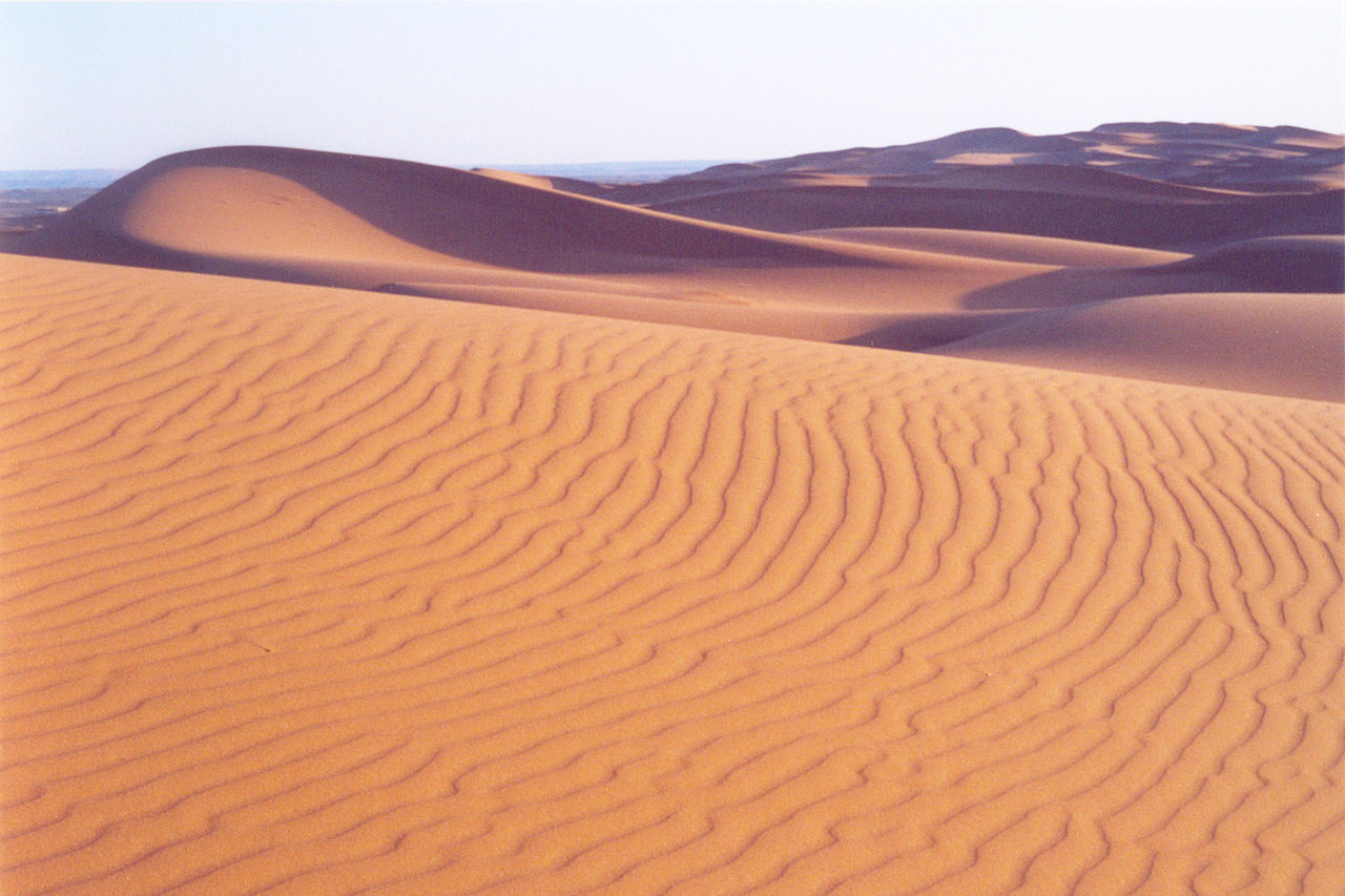 Erg Chebbi at sunrise
What is the nature of Morocco like?
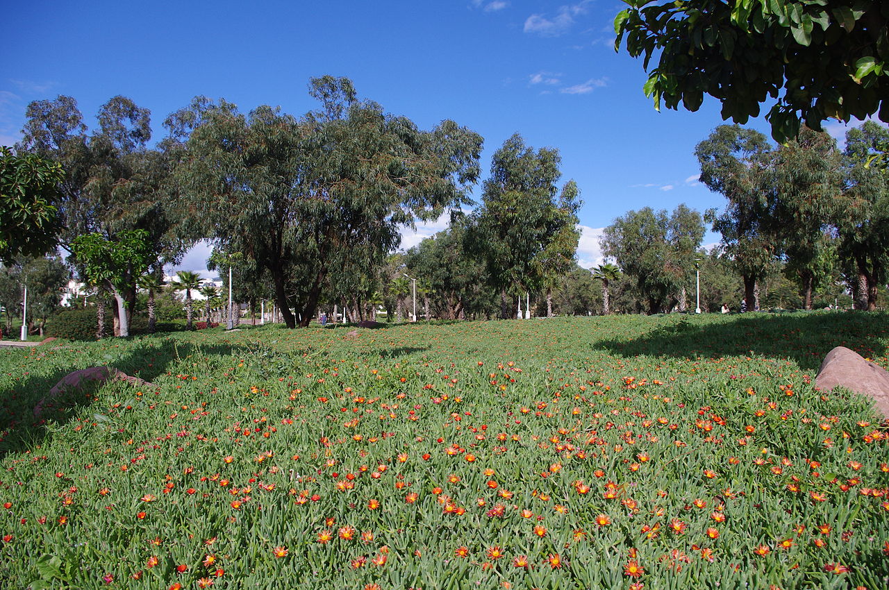
The lowlands of Morocco varies enormously according to the season of the year, during the hot, dry weather the land appears arid and sunburnt, but after the rains there is a rich vegetation with bright colours. Wild flowers give the landscape a brilliant and unique appearance: Irises, marigolds, poppies, asphodel, lilies, broom, thyme and lavender all occur, and moorlands are covered for miles with a beautiful white heather. However the season of floral splendour is brief, and under the hot sun everything soon becomes the color of straw.
.jpg&oldid=332649724)
.jpg&oldid=273971274)
.jpg&oldid=334551690)
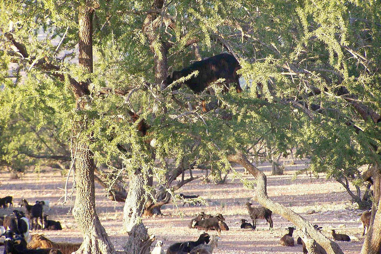
The greater part of the country has been cleared of forest, exhibiting only brushwood, and many cultivated fruit-trees. In some of the Atlas valleys there are still forests of conifers, oaks, etc, and in the higher regions of the Atlas the cedar and Aleppo pine, with many varieties of juniper occur. Prickly pear cacti and the aloe form part of the landscape from the coast up to the slopes of the mountains, and thorny acacias grow on the plains. The palmetto is often locally very abundant, and the date-palm and the dwarf-palm are grown east and south of the Atlas. One tree indiginous only to Morocco is the Argania which is confined to the southwest of the country. The fruit, which ripens between May and August, is an olive-looking nut, greedily eaten by camels, goats, sheep etc, and crushed by the local people to extract the oil.
What is the climate of Morocco like?
See our main article: The Climate of Morocco
Morocco's climate west of Atlas is much more temperate than might be expected for the latitude. The mountains, covered in some parts with snow, intercept the hot winds from the deserts of the interior, so that sea-breezes prevail throughout the year. Hence the temperature lie within moderate limits; on the northwest coast the thermometer rarely reaches freezing point in the winter, while extreme heat is rarely encountered in summer. On the southern coasts the climate is influenced by the Sahara with its intense daytime heat and cold nights. East of the mountains, the cold is felt in winter, while in summer the heat of the plains is intense.
Rain falls mainly in the winter months between September and April, and the Atlas highlands are often visited by snowstorms. On the Atlantic coast rain is brought by the southwest wind, and on the Mediterranean coast sometimes also by the east wind. Rain is rare in the southern regions turned towards the Sahara.
| Climate data for Rabat | |||||||||||||
|---|---|---|---|---|---|---|---|---|---|---|---|---|---|
| Month | Jan | Feb | Mar | Apr | May | Jun | Jul | Aug | Sep | Oct | Nov | Dec | Year |
| Average high °C (°F) | 17.2 (63.0) | 17.7 (63.9) | 19.2 (66.6) | 20.0 (68.0) | 22.1 (71.8) | 24.1 (75.4) | 26.8 (80.2) | 27.1 (80.8) | 26.4 (79.5) | 24.0 (75.2) | 20.6 (69.1) | 17.7 (63.9) | 21.9 (71.4) |
| Daily mean °C (°F) | 12.6 (54.7) | 13.1 (55.6) | 14.2 (57.6) | 15.2 (59.4) | 17.4 (63.3) | 19.8 (67.6) | 22.2 (72.0) | 22.4 (72.3) | 21.5 (70.7) | 19.0 (66.2) | 15.9 (60.6) | 13.2 (55.8) | 17.2 (63.0) |
| Average low °C (°F) | 8.0 (46.4) | 8.6 (47.5) | 9.2 (48.6) | 10.4 (50.7) | 12.7 (54.9) | 15.4 (59.7) | 17.6 (63.7) | 17.7 (63.9) | 16.7 (62.1) | 14.1 (57.4) | 11.1 (52.0) | 8.7 (47.7) | 12.5 (54.5) |
| Average precipitation mm (inches) | 77.2 (3.04) | 74.1 (2.92) | 60.9 (2.40) | 62.0 (2.44) | 25.3 (1.00) | 6.7 (0.26) | 0.5 (0.02) | 1.3 (0.05) | 5.7 (0.22) | 43.6 (1.72) | 96.7 (3.81) | 100.9 (3.97) | 554.9 (21.85) |
| Source: NOAA | |||||||||||||
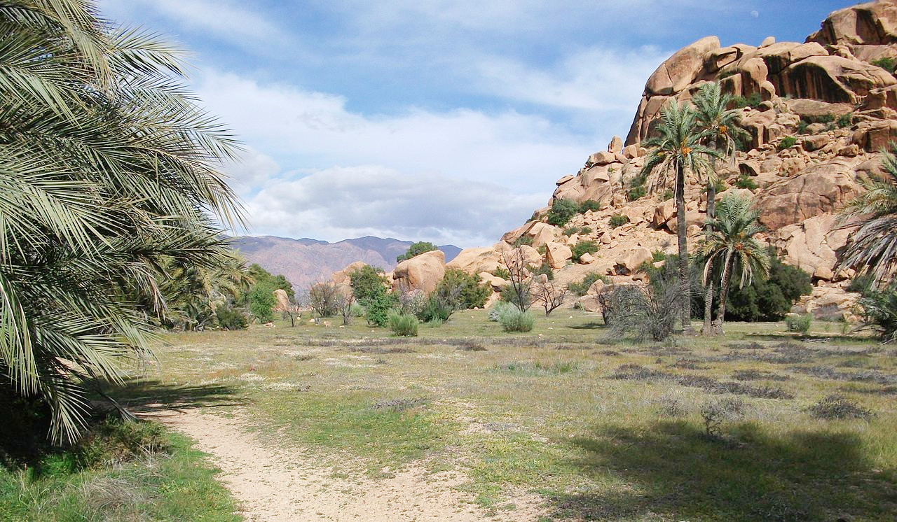 Tafraout, Anti-Atlas mountains
.jpg&oldid=332652313)
The official websites
Morocco
A land of wonder
| Location: | Northwest Africa, bordering the North Atlantic Ocean and the Mediterranean Sea |
| Coordinates: | 32° 00′ N, 5° 00′ W |
| Terrain: | Mountainous northern coast (Rif Mountains) and interior (Atlas Mountains) bordered by large plateaus with intermontane valleys, and fertile coastal plains |
| Climate: | Mediterranean, becoming more extreme in the interior |
| Highest point: | Toubkal 4,167 m / 13,671 ft |
| Forest: | 11.5% (2011 est.) |
| Population: | 35,561,654 (July 2020 est.) |
| Population density: | Low (50/km²) |
| Capital: | Rabat |
| Languages: | Arabic (official); Berber languages (Tamazight (official), Tachelhit, Tarifit); French (often the language of business, government, and diplomacy) |
| Human Development Index: | Medium (0.686) |
| Currency: | Dirham |