The Geography of
Andalusia
Why visit Andalusia?
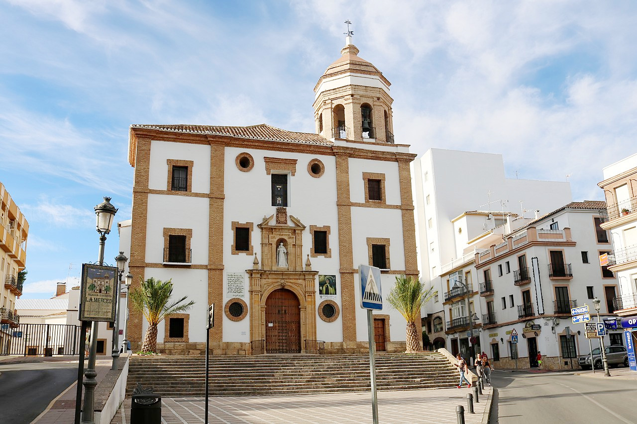
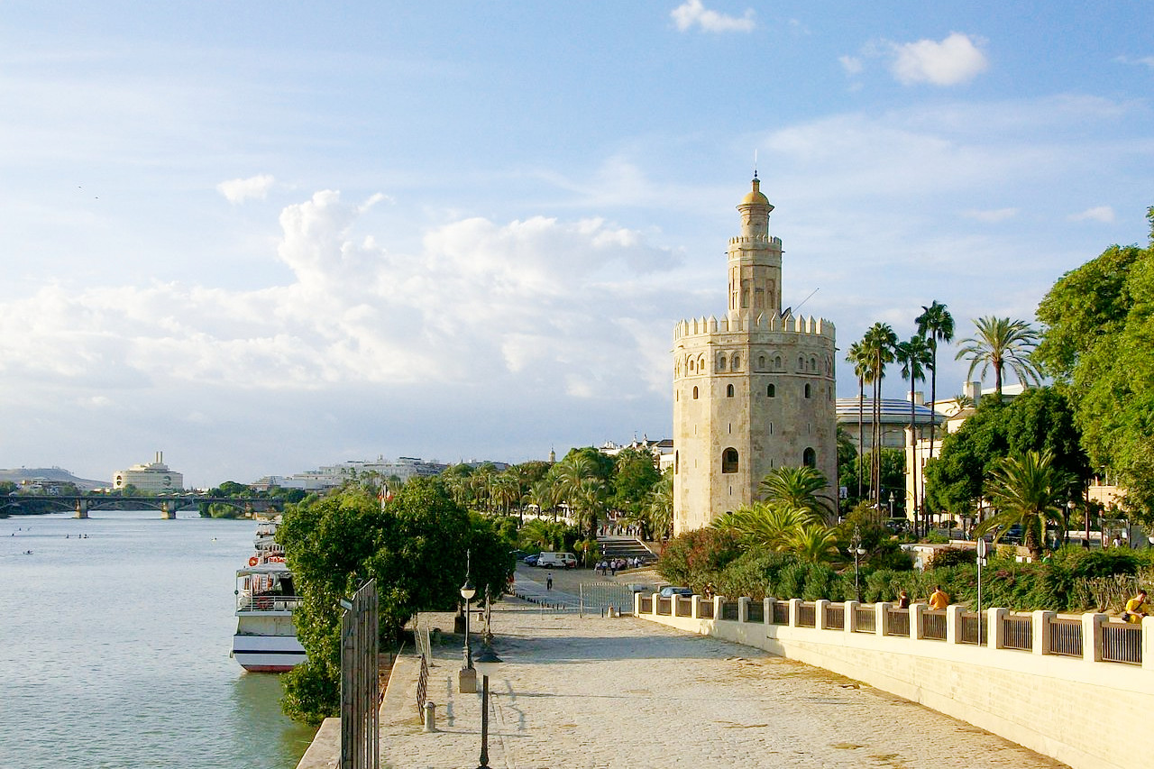
Andalusia is famous for the brilliancy of its climate, and the beauty of its scenery (which ranges in character from the alpine to the tropical). Some of the higher mountains are covered with perpetual snow, whereas the valleys have very hot summers. The country is still full of the most glorious monuments which the Moors erected during their seven centuries of rule. Seville and its alcazar, cathedral, and giralda; Granada and the Alhambra; Cordoba and its wonderful mosque, cannot fail to attract untiring admiration. With its warm climate year-round and rolling hills covered with olive trees and vineyards, Andalusia is an ideal place to visit any time of year.
Contents
Map
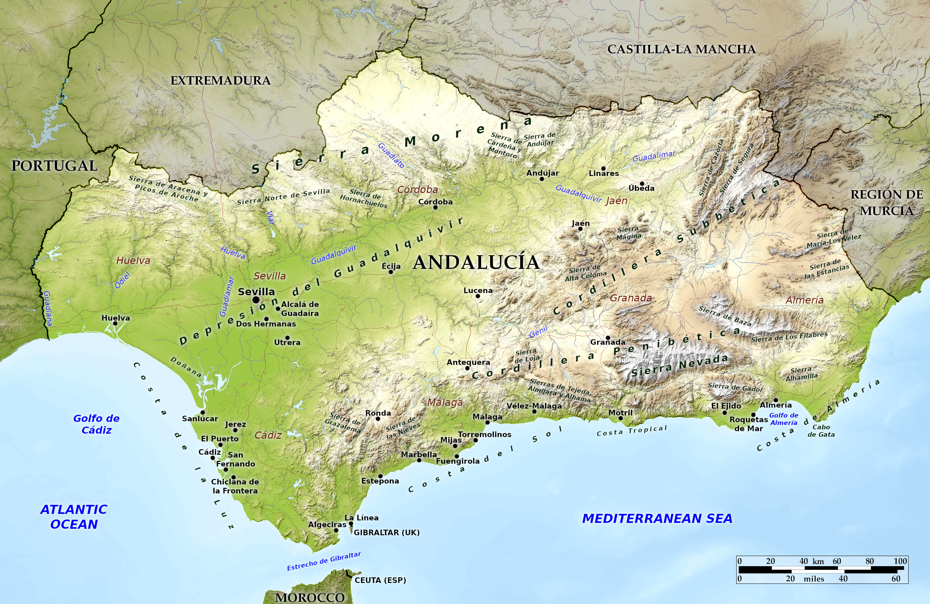 Relief map of Andalucía
What is the landscape of Andalucia like?
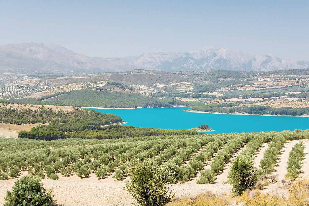
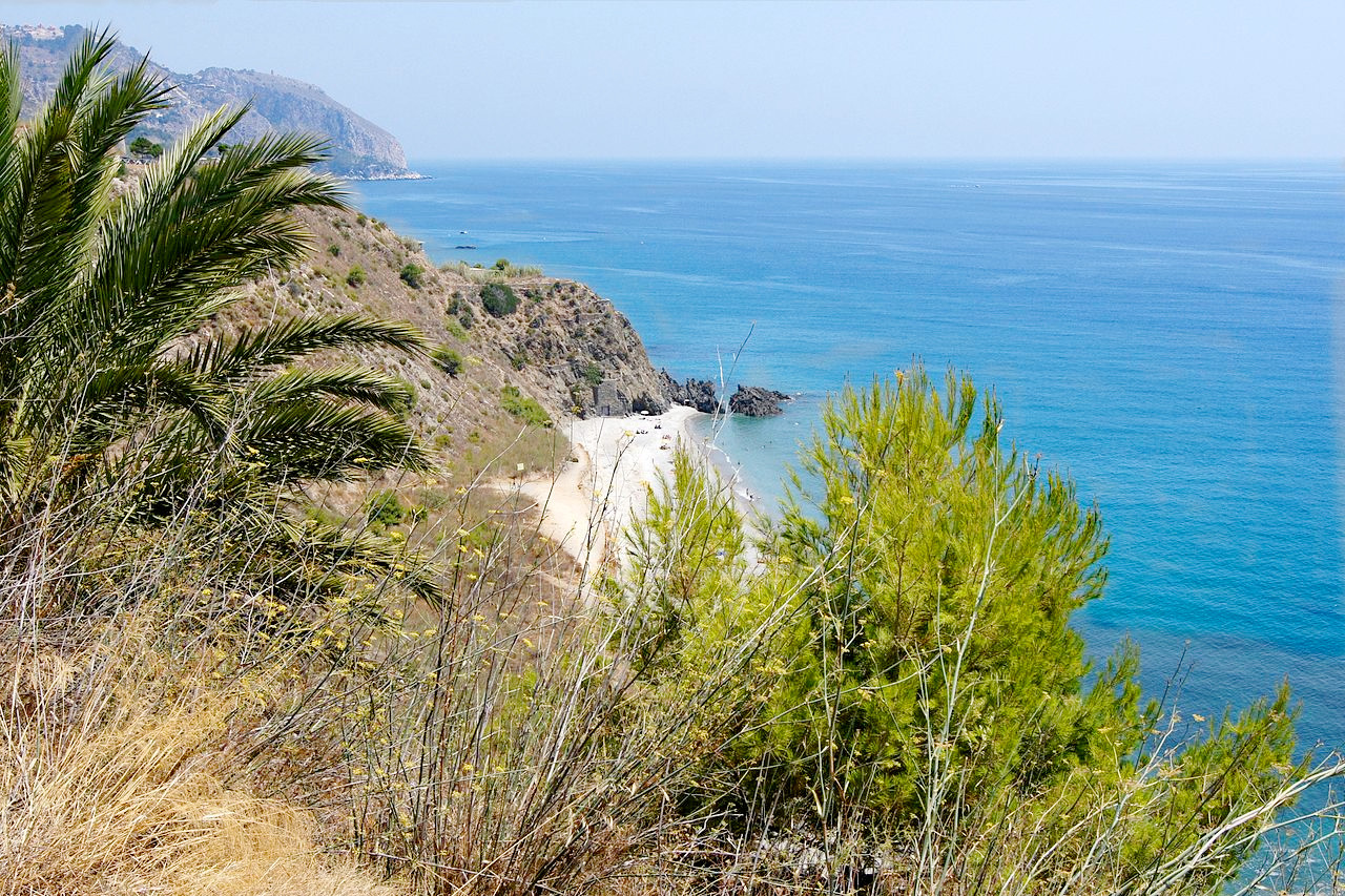
Andalucía is one of the largest regions of Spain. It is also one of the best-known regions, as it contains Spain’s oldest cities and some of its most spectacular architecture. The landscape here is varied and powerful. Andalucía consists of a great plain, the valley of the Guadalquivir, shut in by mountain ranges on every side except the southwest, where it descends to the Atlantic. This lowland, which is known as Andalucía Baja, or Lower Andalusia. The great river Guadalquivir is surrounded by fertile pastures, marshlands and beaches.
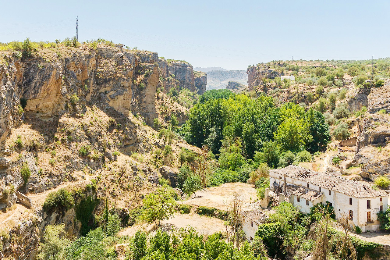
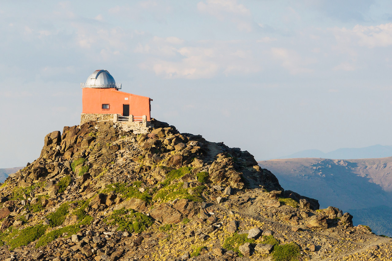
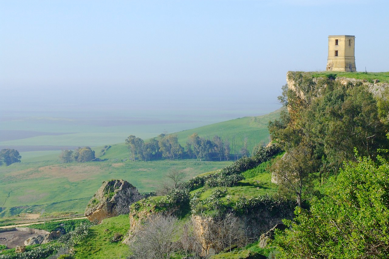
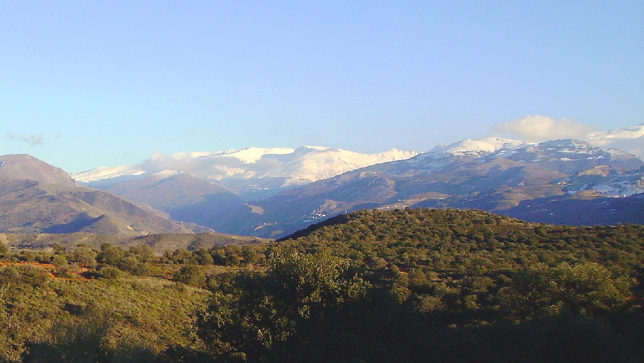
On the north, the valley is bounded by the wild Sierra Morena; on the south, by the mountains of the Mediterranean coast, among which the snow-capped Sierra Nevada range contains Spain’s highest peaks. These highlands, constitute Andalucía Alta or Upper Andalusia. Sierra Nevada owes its name, "the snowy range," to the fact that several of its peaks exceed 3,000 meters (10,000 feet) in height and are covered in snow. The culminating point, Mulhacén (3,479 m / 11,413 ft) is the highest mountain in Spain. On both sides deep valleys (barrancas) follow one another in close succession, in many cases with round, basin-shaped heads like the cirques of the Pyrenees, many with alpine lakes.
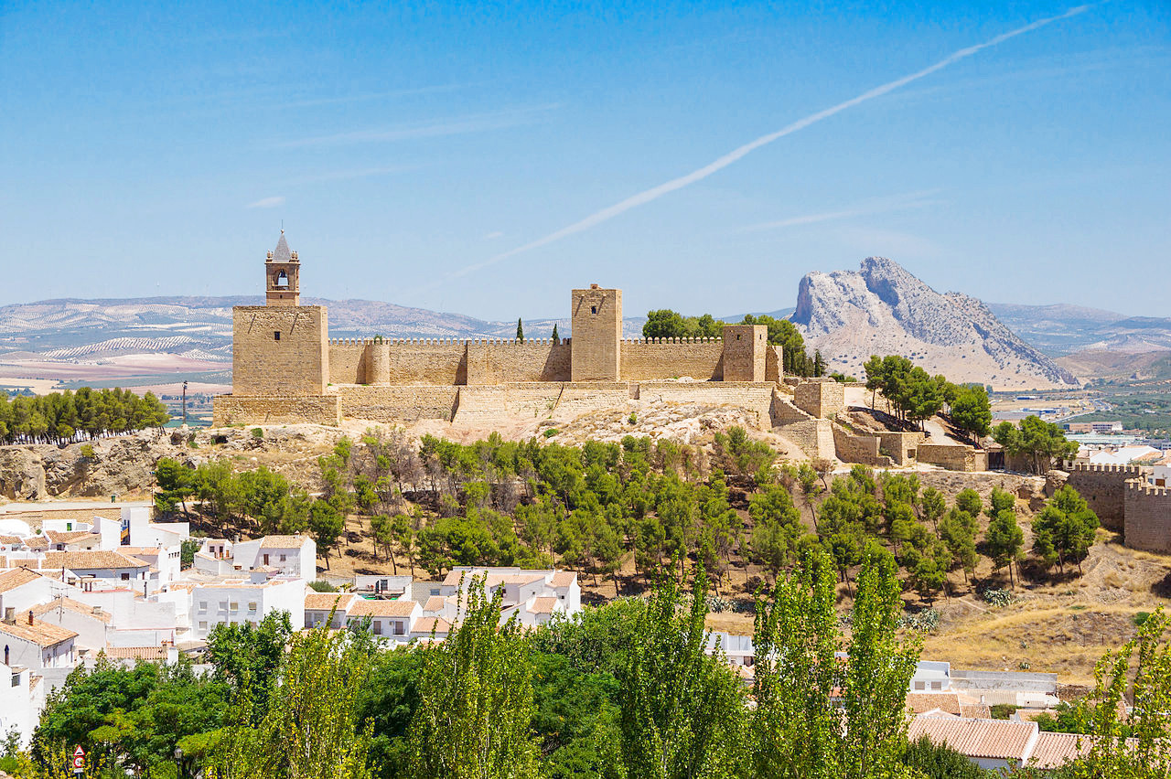
The Muslims from North Africa occupied this area for nearly 800 years and left a deep impression, especially in its architecture. Buildings are whitewashed to keep them cool and, in the bright sunlight, the effect is simply dazzling. Granada and Cordoba were Muslim strongholds, and Granada's Alhambra palace draws tens of thousands of tourists to the city annually.
What is the nature of Andalucia like?
In Andalucía the more common European plants and trees give place to the wild olive, caper shrubs, the aloe, the cactus, the evergreen oak, the orange, the lemon, the palm and other productions of a tropical climate. The valley of the Guadalquivir in Lower Andalucía, is richly fertile agricultural land, but which near the coast becomes salt lakes or fens. Some districts, for example in and around Granada, are famous for the luxuriance of their vegetation.
What is the climate of Andalucia like?
The climate of Andalucia varies widely with the altitude. Some of the higher mountains are covered with perpetual snow. In the valleys, the summer is usually extremely hot, and in winter the snow falls only to melt when it reaches the ground.
| Climate data for Seville (1981–2010) | |||||||||||||
|---|---|---|---|---|---|---|---|---|---|---|---|---|---|
| Month | Jan | Feb | Mar | Apr | May | Jun | Jul | Aug | Sep | Oct | Nov | Dec | Year |
| Average high °C (°F) | 16.2 (61.2) | 18.1 (64.6) | 21.9 (71.4) | 23.4 (74.1) | 27.2 (81.0) | 32.2 (90.0) | 36.0 (96.8) | 35.5 (95.9) | 31.7 (89.1) | 26.0 (78.8) | 20.2 (68.4) | 16.6 (61.9) | 25.4 (77.7) |
| Daily mean °C (°F) | 11.0 (51.8) | 12.5 (54.5) | 15.6 (60.1) | 17.3 (63.1) | 20.7 (69.3) | 25.1 (77.2) | 28.2 (82.8) | 27.9 (82.2) | 25.0 (77.0) | 20.2 (68.4) | 15.1 (59.2) | 11.9 (53.4) | 19.2 (66.6) |
| Average low °C (°F) | 5.7 (42.3) | 7.0 (44.6) | 9.2 (48.6) | 11.1 (52.0) | 14.2 (57.6) | 18.0 (64.4) | 20.3 (68.5) | 20.4 (68.7) | 18.2 (64.8) | 14.4 (57.9) | 10.0 (50.0) | 7.3 (45.1) | 13.0 (55.4) |
| Average precipitation mm (inches) | 66 (2.6) | 50 (2.0) | 36 (1.4) | 54 (2.1) | 31 (1.2) | 10 (0.4) | 2 (0.1) | 5 (0.2) | 27 (1.1) | 68 (2.7) | 91 (3.6) | 99 (3.9) | 539 (21.2) |
| Source: Agencia Estatal de Meteorología | |||||||||||||
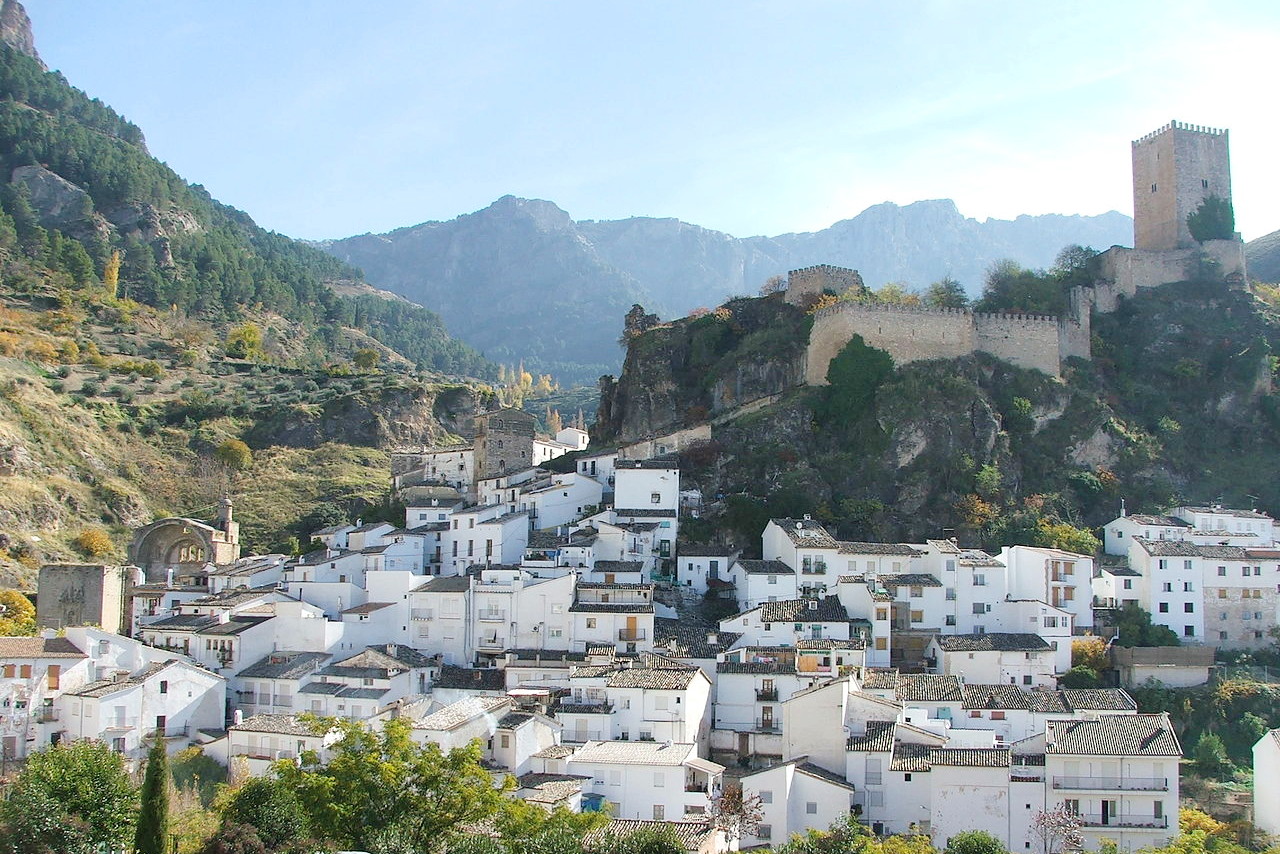 View of Cazorla with the Yedra Castle
The official websites
Andalucía
Wild and beautiful
| Location: | Southern Spain |
| Coordinates: | 37° 30′ N, 04° 30′ W |
| Size: | • 305 km N-S; 520 km E-W • 190 miles N-S; 325 miles E-W |
| Terrain: | A central plain descending to the sea in the southwest. Hills to the north, and high mountains to the south and east |
| Climate: | Hot, dry summers with droughts and high levels of sunshine. Rainfall in other seasons, but always scarce towards the east |
| Highest point: | Mulhacén 3,479 m / 11,413 ft |
| Forest: | 12% (2010 est.) (source) |
| Population: | 8,388,107 (2016) |
| Population density: | Low-to-Medium (96/km²) |
| Capital: | Sevilla (English: Seville) |
| Languages: | Spanish |
| Human Development Index: | Very High (0.873) |