The Geography of
Murcia
Why visit Murcia?
Murcia is a province of southeastern Spain. It is fringed by hills belonging to the same system as the Sierra Nevada. The climate is hot and dry, and the coastline borders the Mediterranean Sea.
Contents
Map
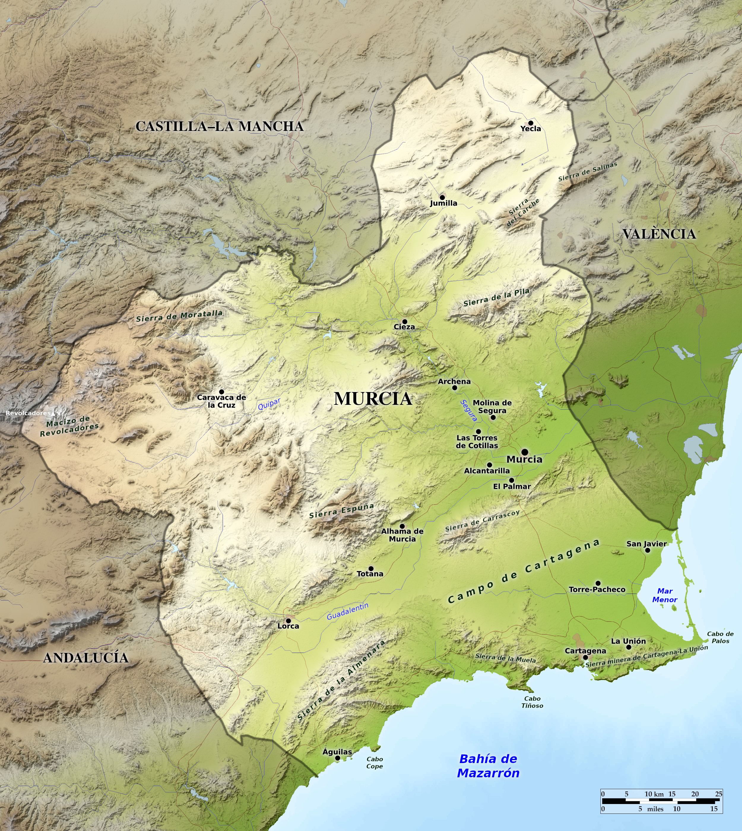 Relief map of Murcia
What is the landscape of Murcia like?
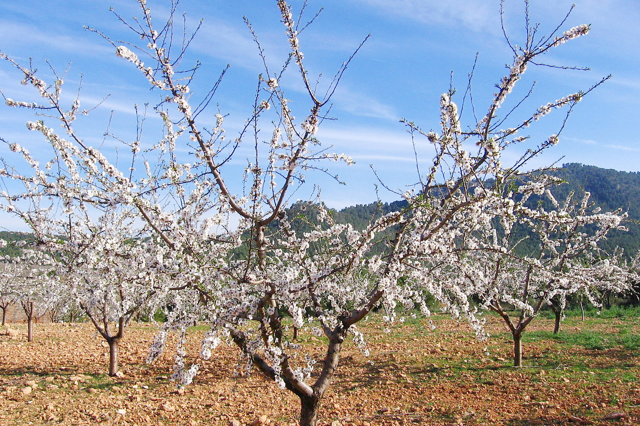
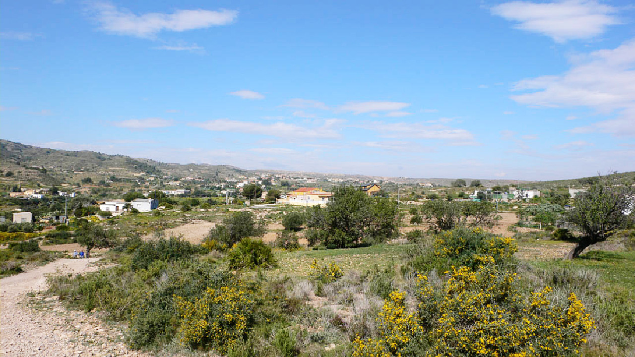
Murcia is a region of southeastern Spain bordering the Mediterranean Sea. The coastline is about 75 miles long, fringed by hills for the most part except northwards from Cape Palosa where a low sand spit encloses the shallow salt lagoon called Mar Menor. The region is one of the largest producers of fruits, vegetables and flowers in Europe.
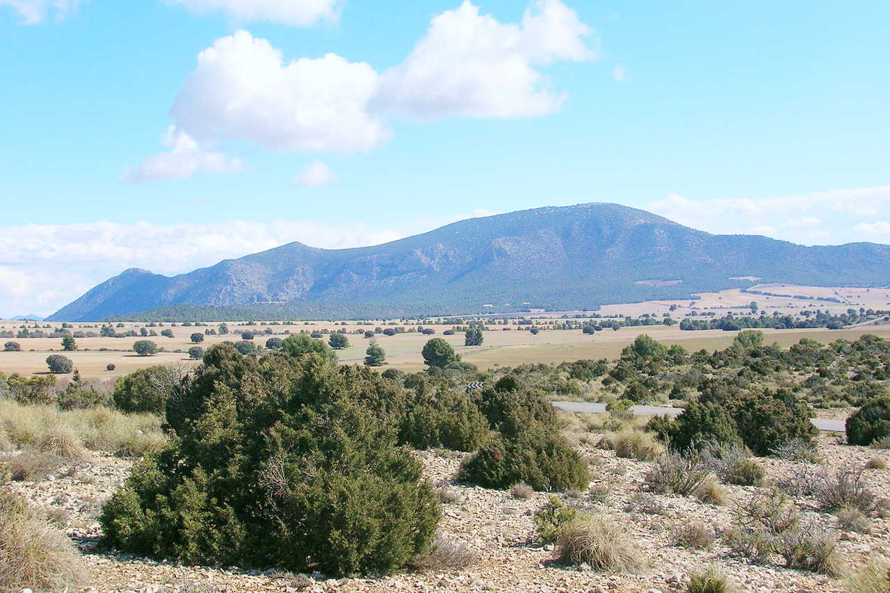
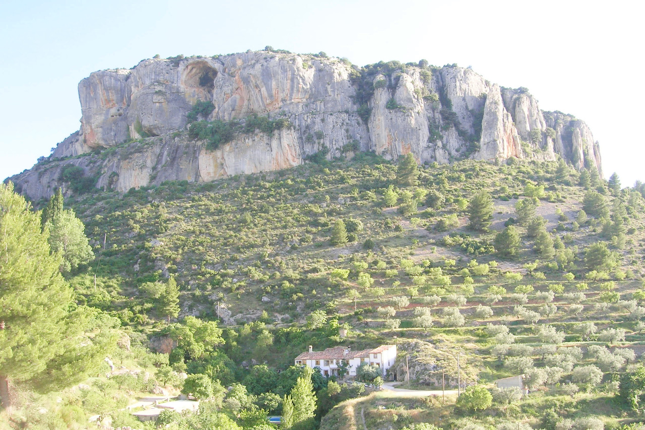
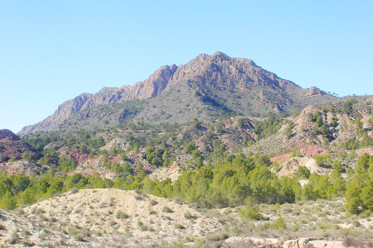
Inland from the Mar Menor and northward from the city of Cartagena stretches the plain known as El Campo de Cartagena, but the rest of the province is crossed by ranges of hills, belonging to the same system as the Sierra Nevada further west. The general direction of these ranges is from southwest to northeast; they reach their highest point on the Macizo de Revolcadores at 2,014 meters (6,608 feet).
What is the nature of Murcia like?
In the mountainous interior of Murcia, where there is higher rainfall, the trees are those typical to the hills of Spain, with pine, holm oak, patches of juniper, arbutus, and specimens of cork oak. In the more humid sierras there are also the rowan, ash, and Portuguese oak. The drier lowlands of Murcia are characterised by scrubland and in particular the esparto grass. River valleys also see poplar and willow trees.
What is the climate of Murcia like?
The Region of Murcia has a dry Mediterranean climate with mild winters and hot summers, becoming cooler in the mountains. Annual rainfall is low due to the mountains which hinder the Atlantic rain arriving from the west. Rainfall is normally concentrated in winter, spring, and especially autumn. The mountains of the northwest see a bit more rain, and snow may fall at times on the peaks and high mountain areas in winter.
| Climate data for Murcia (1984–2010) | |||||||||||||
|---|---|---|---|---|---|---|---|---|---|---|---|---|---|
| Month | Jan | Feb | Mar | Apr | May | Jun | Jul | Aug | Sep | Oct | Nov | Dec | Year |
| Average high °C (°F) | 16.6 (61.9) | 18.4 (65.1) | 20.9 (69.6) | 23.3 (73.9) | 26.6 (79.9) | 31.0 (87.8) | 34.0 (93.2) | 34.2 (93.6) | 30.4 (86.7) | 25.6 (78.1) | 20.3 (68.5) | 17.2 (63.0) | 24.9 (76.8) |
| Daily mean °C (°F) | 10.6 (51.1) | 12.2 (54.0) | 14.3 (57.7) | 16.5 (61.7) | 20.0 (68.0) | 24.2 (75.6) | 27.2 (81.0) | 27.6 (81.7) | 24.2 (75.6) | 19.8 (67.6) | 14.6 (58.3) | 11.5 (52.7) | 18.6 (65.5) |
| Average low °C (°F) | 4.7 (40.5) | 5.9 (42.6) | 7.7 (45.9) | 9.7 (49.5) | 13.3 (55.9) | 17.4 (63.3) | 20.3 (68.5) | 20.9 (69.6) | 18.0 (64.4) | 13.9 (57.0) | 8.9 (48.0) | 5.8 (42.4) | 12.3 (54.1) |
| Average precipitation mm (inches) | 27 (1.1) | 27 (1.1) | 30 (1.2) | 25 (1.0) | 28 (1.1) | 18 (0.7) | 3 (0.1) | 8 (0.3) | 32 (1.3) | 36 (1.4) | 32 (1.3) | 29 (1.1) | 297 (11.7) |
| Source: Agencia Estatal de Meteorología | |||||||||||||
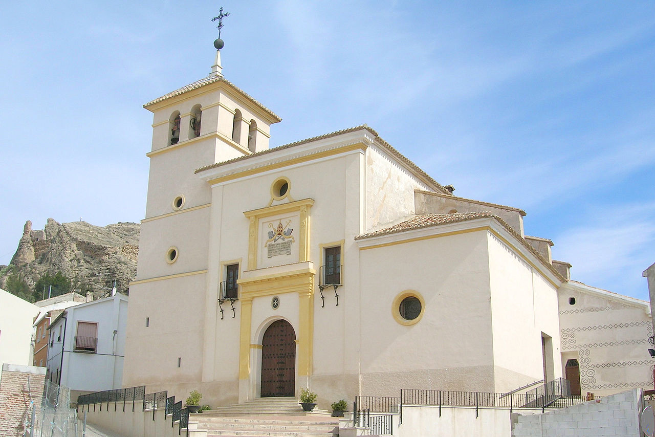
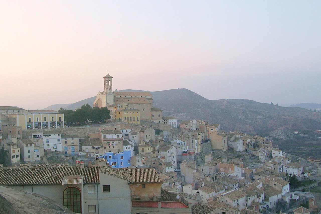
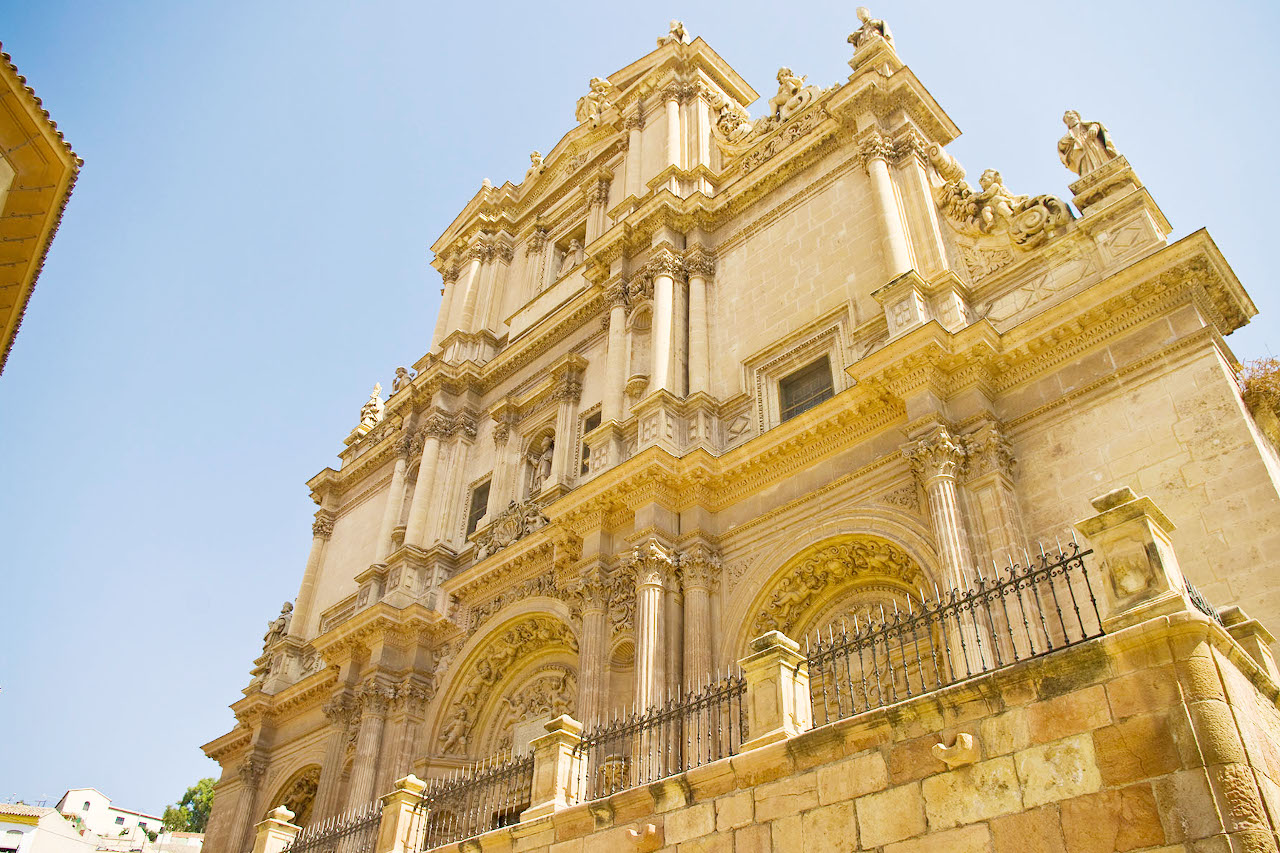
Church of San Pedro, Calasparra
The official websites
Región de Murcia
The Costa Cálida
| Location: | Southeast Spain |
| Coordinates: | 38° 00′ N, 1° 30′ W |
| Size: | • 155 km N-S; 145 km E-W • 95 miles N-S; 90 miles E-W |
| Terrain: | Plains and ranges of hills near the coast. Hilly interior with ranges of hills and mountains trending in a southwest to northeast direction |
| Climate: | Hot and dry Mediterranean summers; mild winters |
| Highest point: | Macizo de Revolcadores 2,014 m / 6608 ft |
| Forest: | 5% (2010 est.) (source) |
| Population: | 1,511,251 (2020) |
| Population density: | Medium (134/km²) |
| Capital: | Murcia |
| Languages: | Spanish |
| Human Development Index: | Very High (0.881) |