.jpg)
The Geography of
Navarre
Why visit Navarra?
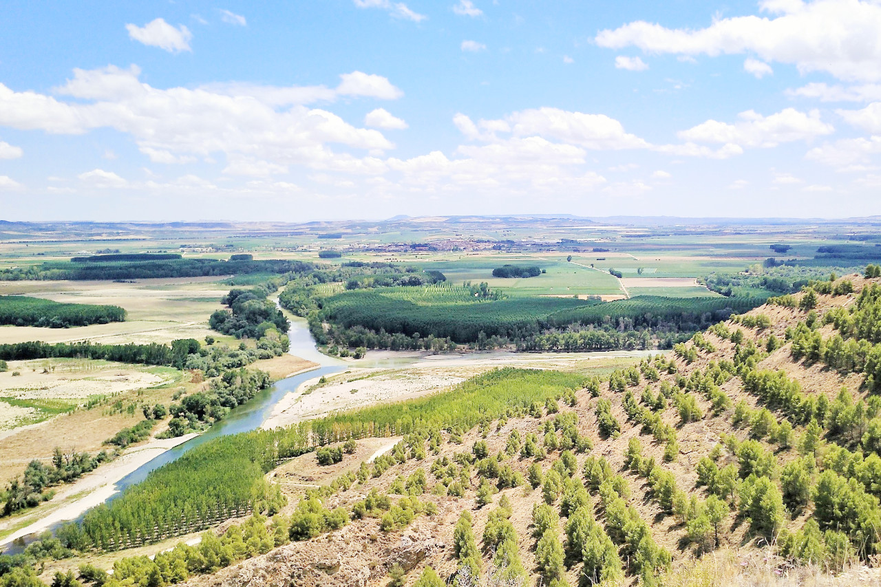
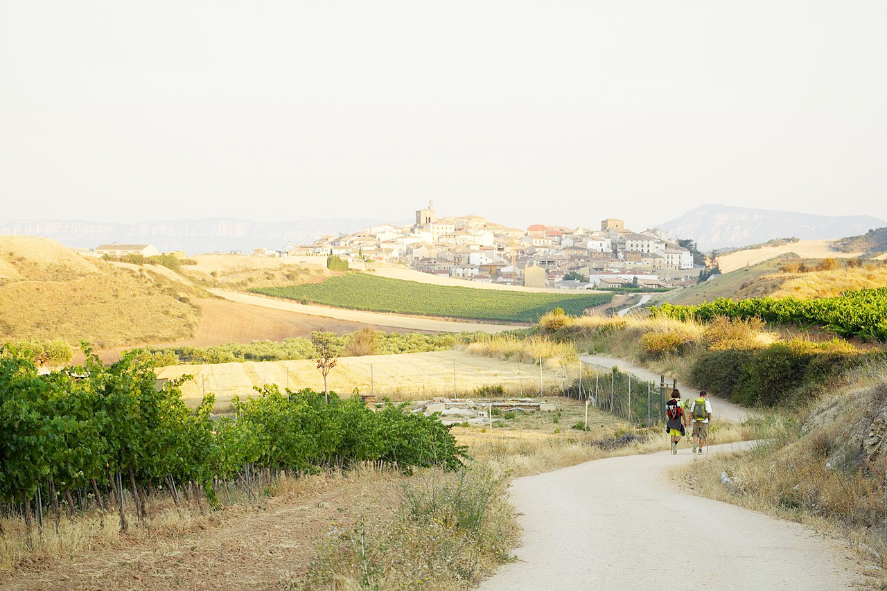
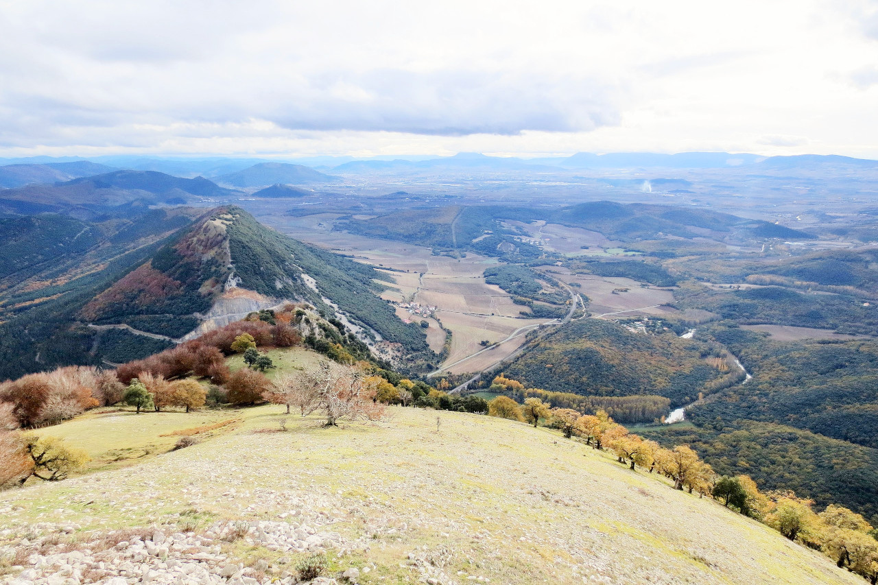
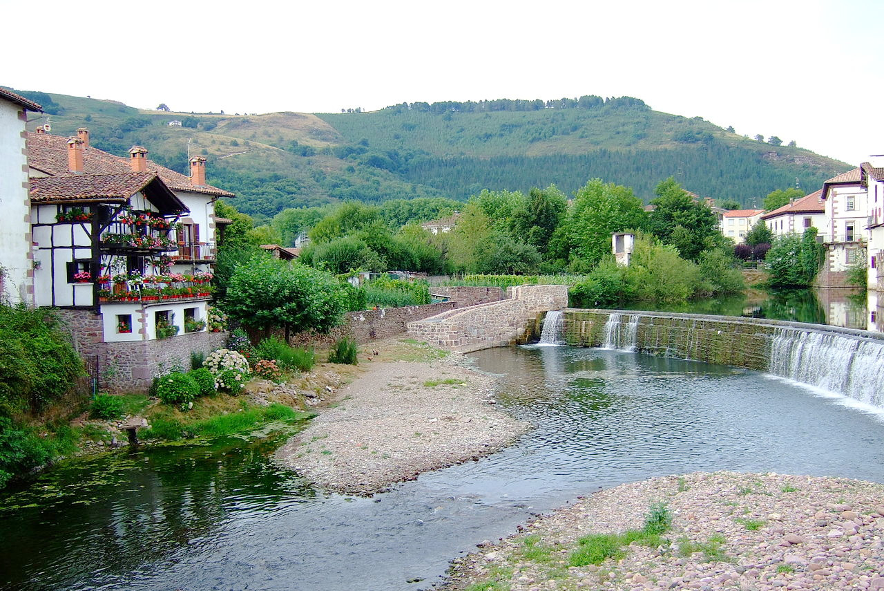
Navarre is a country of hills and plains. Navarre marks the intersections between the Pyrenees and the Cantabrian Mountains, and much of the province is overrun by the spurs of these ranges. The hilly districts consist almost entirely of forest and meadow, the most common trees being the pine, beech, oak and chestnut. Much of the lower ground is farmland, with apple orchards and vineyards.
Contents
Map
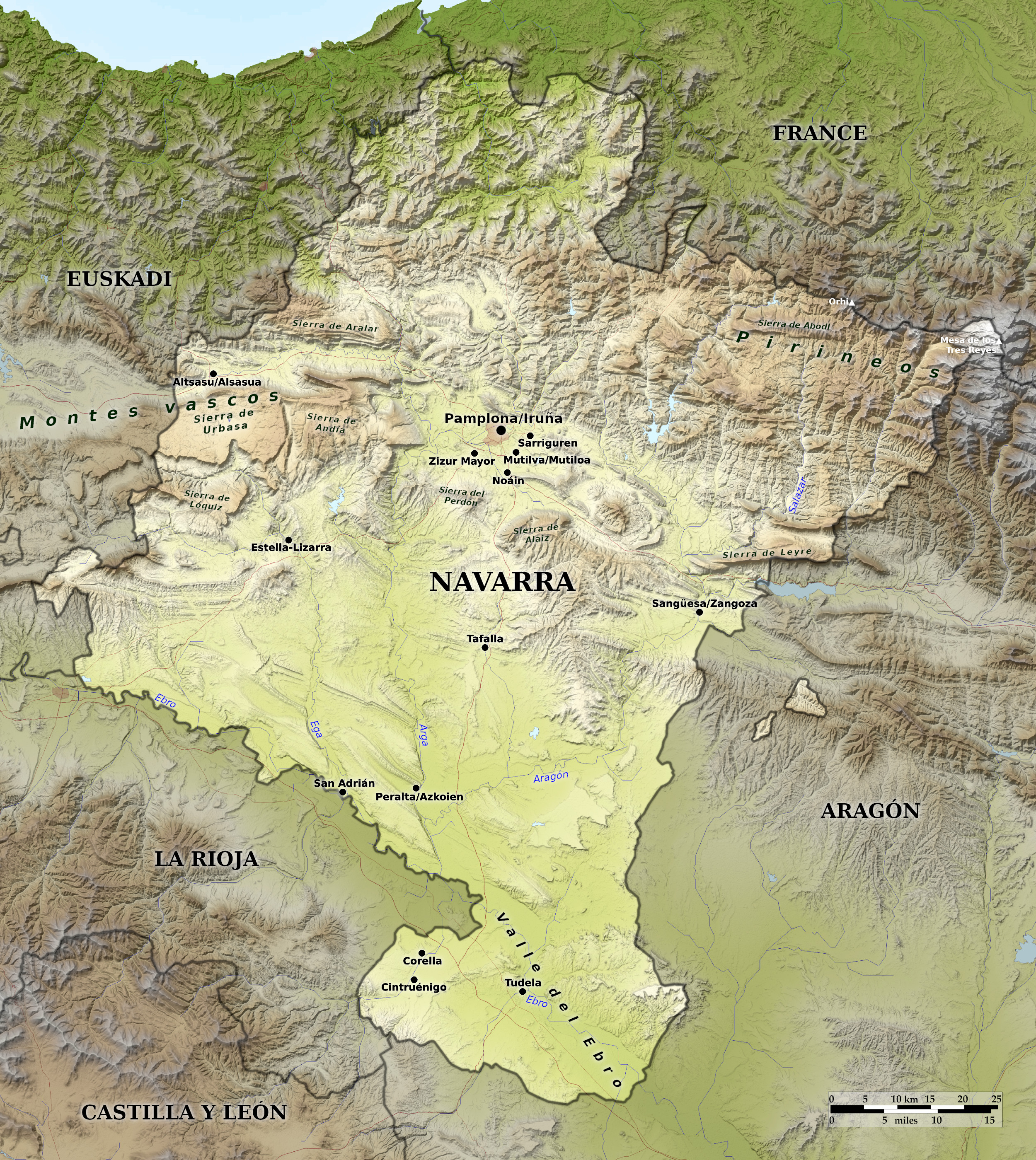 Relief map of Navarre
What is the landscape of Navarra like?
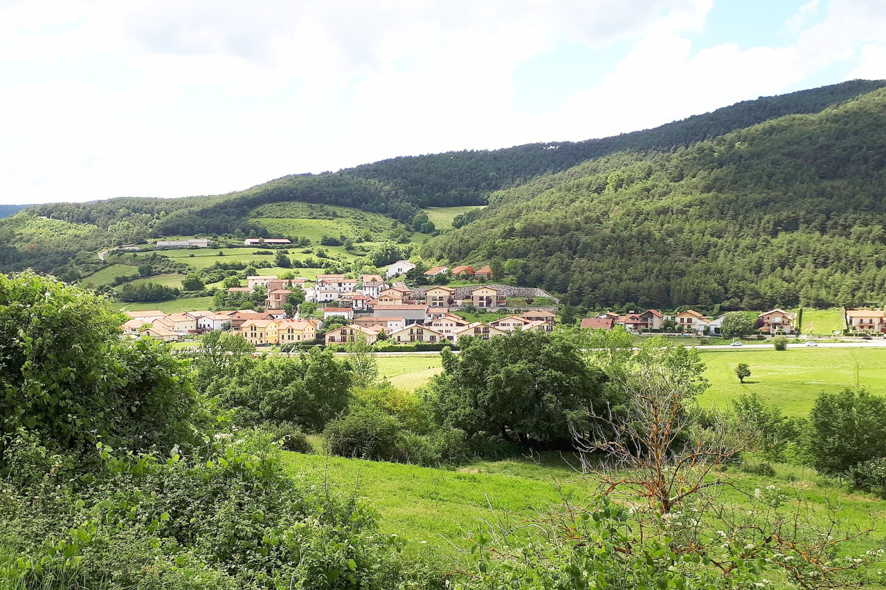
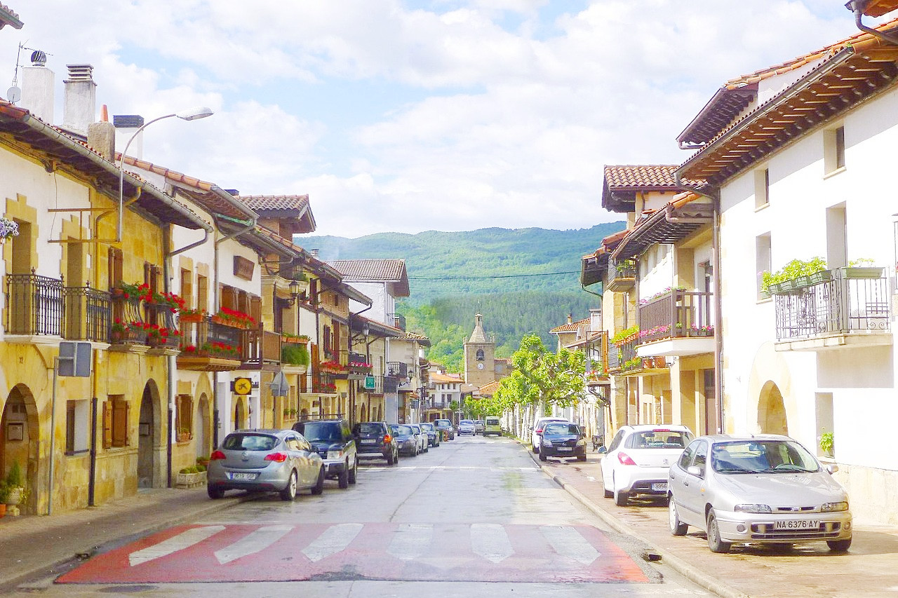
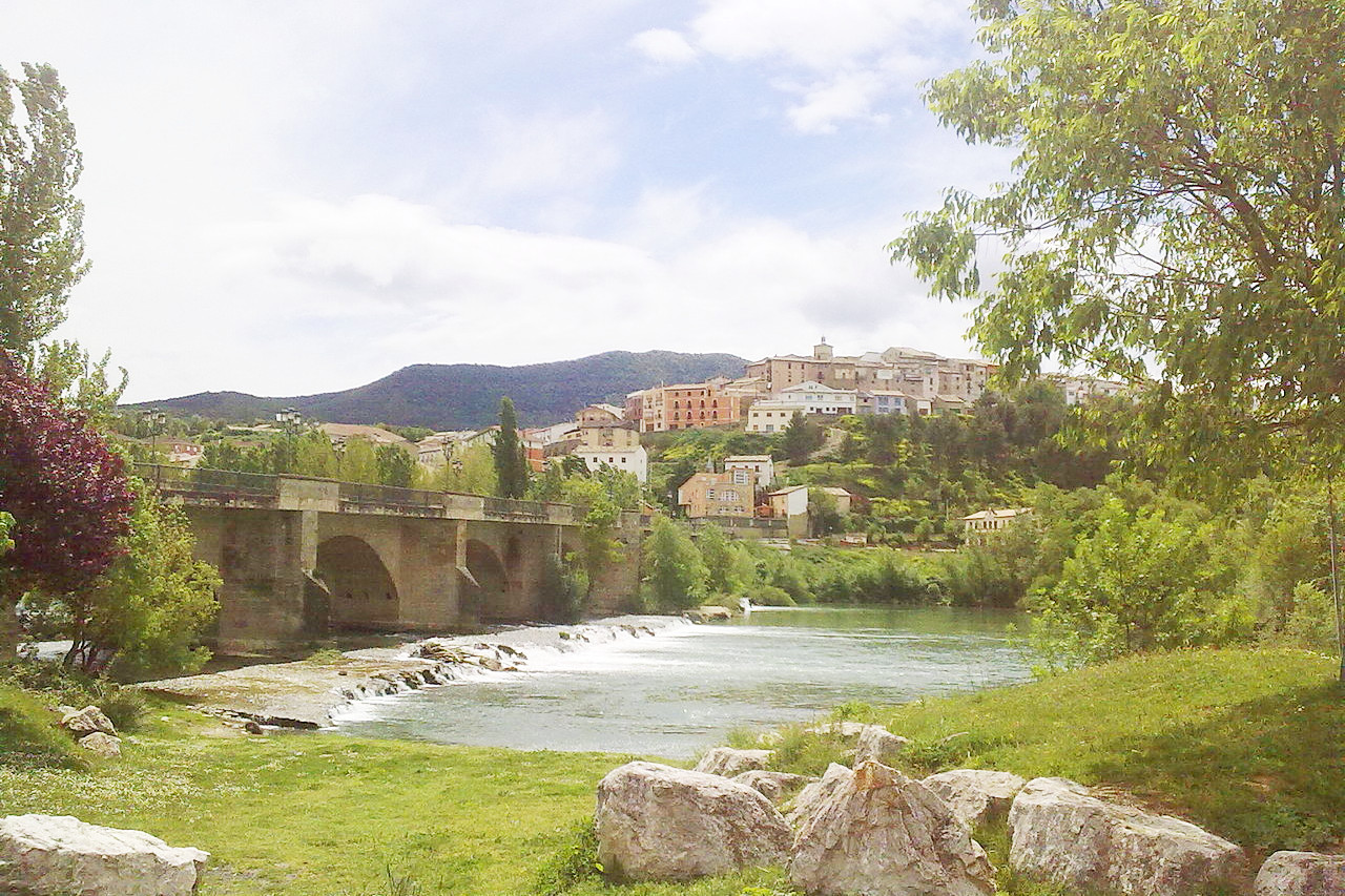
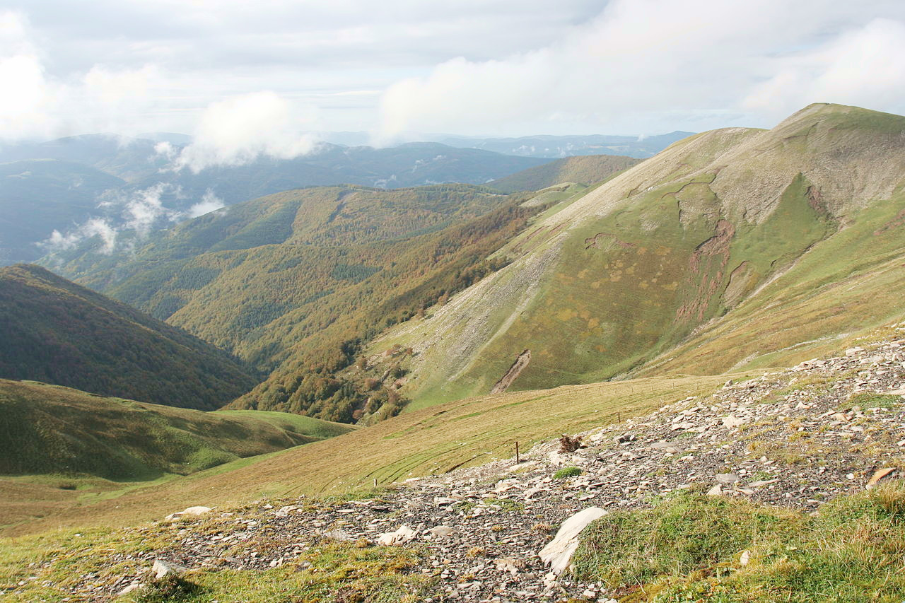
Navarre is an inland province of northern Spain, and once a kingdom which extended into France. The north is bounded by the Pyrenees—here rather lower than they are further east. To the south the landscape descends into stretches of tawny-golden undulating countryside around Pamplona and vast expanses of vineyards as you go even further south.
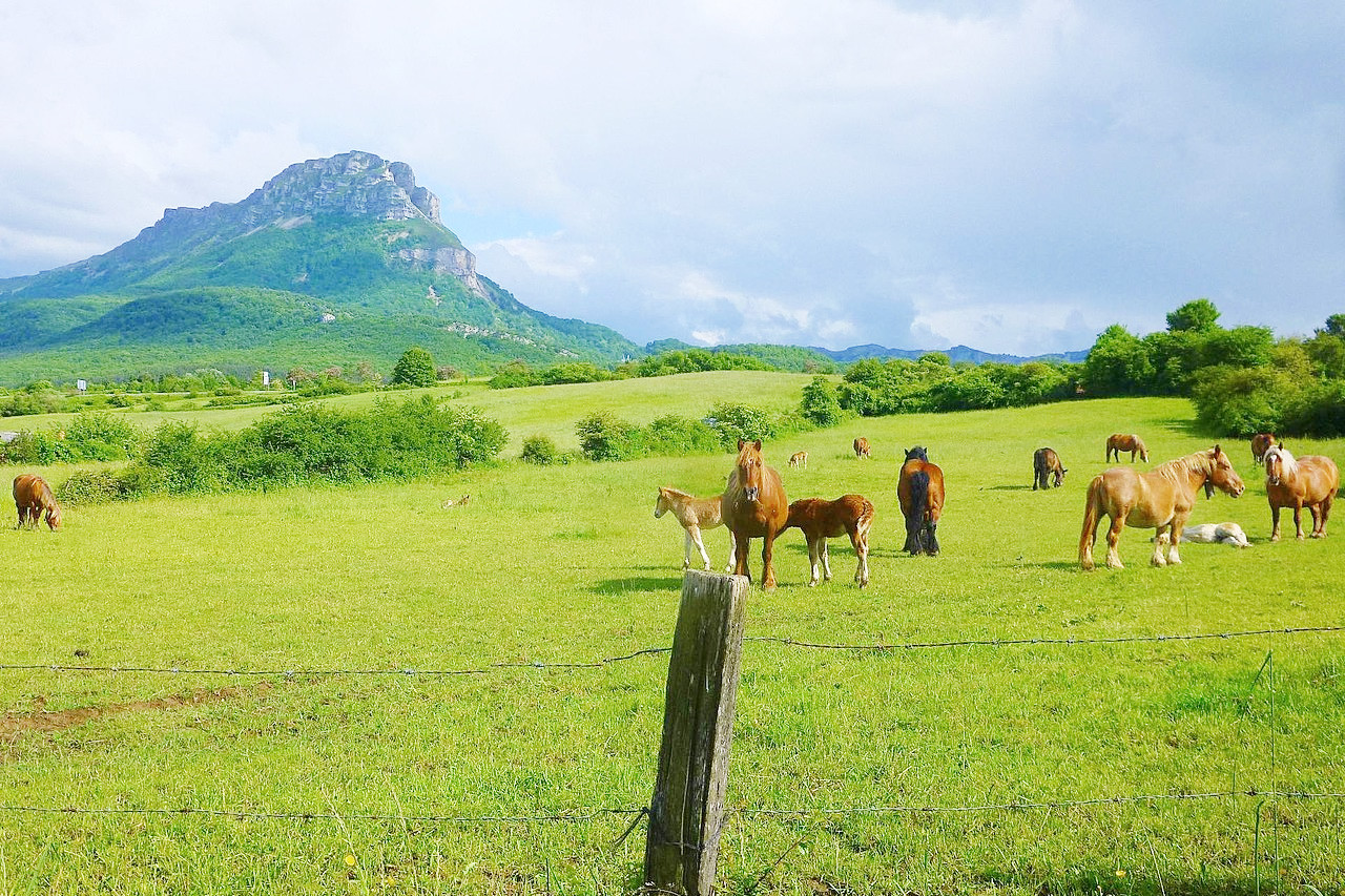
The highest summit in the province is the Mesa de los Tres Reyes (2,428 m / 7,966 ft) in the extreme northeast. The northwest of Navarre has the eastern extension of the Cantabrian Mountains known as the Basque Mountains (Montes vascos). The southern half of the province is traversed by foothills of the northern ranges, and the rivers which flow from the northern mountains drain to the Ebro river in the south.
What is the nature of Navarra like?
The hills and mountains of Navarre consist almost entirely of forest and pasture, the most common trees being the pine, beech, oak and chestnut. Much of the lower ground is used for agriculture, with extensive vineyards.
What is the climate of Navarra like?
Navarre has something of a mixed climate being influenced both by the mountains of the Pyrenees and Mediterranean climate of the Ebro valley. In general the north is more humid and with frequent rainfall, and the south is more Mediterranean and with higher temperatures and more sporadic rainfall and dry summers.
| Climate data for Pamplona (1981–2010) | |||||||||||||
|---|---|---|---|---|---|---|---|---|---|---|---|---|---|
| Month | Jan | Feb | Mar | Apr | May | Jun | Jul | Aug | Sep | Oct | Nov | Dec | Year |
| Average high °C (°F) | 9.1 (48.4) | 10.9 (51.6) | 14.6 (58.3) | 16.4 (61.5) | 20.8 (69.4) | 25.2 (77.4) | 28.2 (82.8) | 28.3 (82.9) | 24.5 (76.1) | 19.3 (66.7) | 13.1 (55.6) | 9.7 (49.5) | 18.4 (65.1) |
| Daily mean °C (°F) | 5.2 (41.4) | 6.3 (43.3) | 9.1 (48.4) | 10.9 (51.6) | 14.7 (58.5) | 18.6 (65.5) | 21.2 (70.2) | 21.4 (70.5) | 18.2 (64.8) | 14.1 (57.4) | 9.0 (48.2) | 6.0 (42.8) | 12.9 (55.2) |
| Average low °C (°F) | 1.4 (34.5) | 1.6 (34.9) | 3.7 (38.7) | 5.3 (41.5) | 8.6 (47.5) | 11.9 (53.4) | 14.2 (57.6) | 14.5 (58.1) | 12.0 (53.6) | 8.9 (48.0) | 4.8 (40.6) | 2.2 (36.0) | 7.4 (45.3) |
| Average precipitation mm (inches) | 62 (2.4) | 55 (2.2) | 59 (2.3) | 79 (3.1) | 65 (2.6) | 51 (2.0) | 38 (1.5) | 43 (1.7) | 49 (1.9) | 73 (2.9) | 80 (3.1) | 77 (3.0) | 734 (28.9) |
| Source: Agencia Estatal de Meteorología | |||||||||||||
.jpg&oldid=574598972)
The official websites
Navarra
The little Kingdom where nothing's missing
| Location: | Northeast Spain |
| Coordinates: | 42° 45′ N, 1° 45′ W |
| Size: | • 155 km N-S; 145 km E-W • 95 miles N-S; 90 miles E-W |
| Terrain: | Lower flat lands in the south with some hilly districts. Ranges of hills and mountains in the north including the Pyrenees |
| Climate: | Warmer and dryer Mediterranean climate to the south; cooler and wetter mountain climate to the north |
| Highest point: | Mesa de los Tres Reyes 2,428 m / 7,966 ft |
| Forest: | 35% (2010 est.) (source) |
| Population: | 661,197 (2020) |
| Population density: | Low (64/km²) |
| Capital: | Pamplona |
| Languages: | Spanish; Basque |
| Human Development Index: | Very High (0.926) |