_-_cropped.jpeg)
_(9255502965).jpeg)
The Geography of
Florida
Why visit Florida?
Florida—the Sunshine State—is famous for its warm climate and rich lush landscape, which provides a home for unique plants and animals. There's many different types of scenery. There's the beaches, which are beautiful and peaceful. Then there are the dense forests, which are so green and full of life. Then there's the Everglades National Park with its birdlife, cypresses, and alligators. The climate is perfect too, with year-round sunshine and mild temperatures.
Contents
Map
 Relief map of Florida
What is the landscape of Florida like?
North and the Panhandle
The Panhandle of Florida is similar to south-eastern Alabama, being a rolling, hilly country, except where large swampy areas cut in from the Gulf coast. Unlike much of southern Florida, this region has an exuberance and diversity of highland, plain, lake, and woodland scenery; but still the hills are of very limited height. The major rivers of this region are the Suwannee River, which flows south from Georgia through Florida and empties into the Gulf of Mexico; and the Apalachicola River flowing southward across the panhandle to the Gulf.
Peninsular Florida
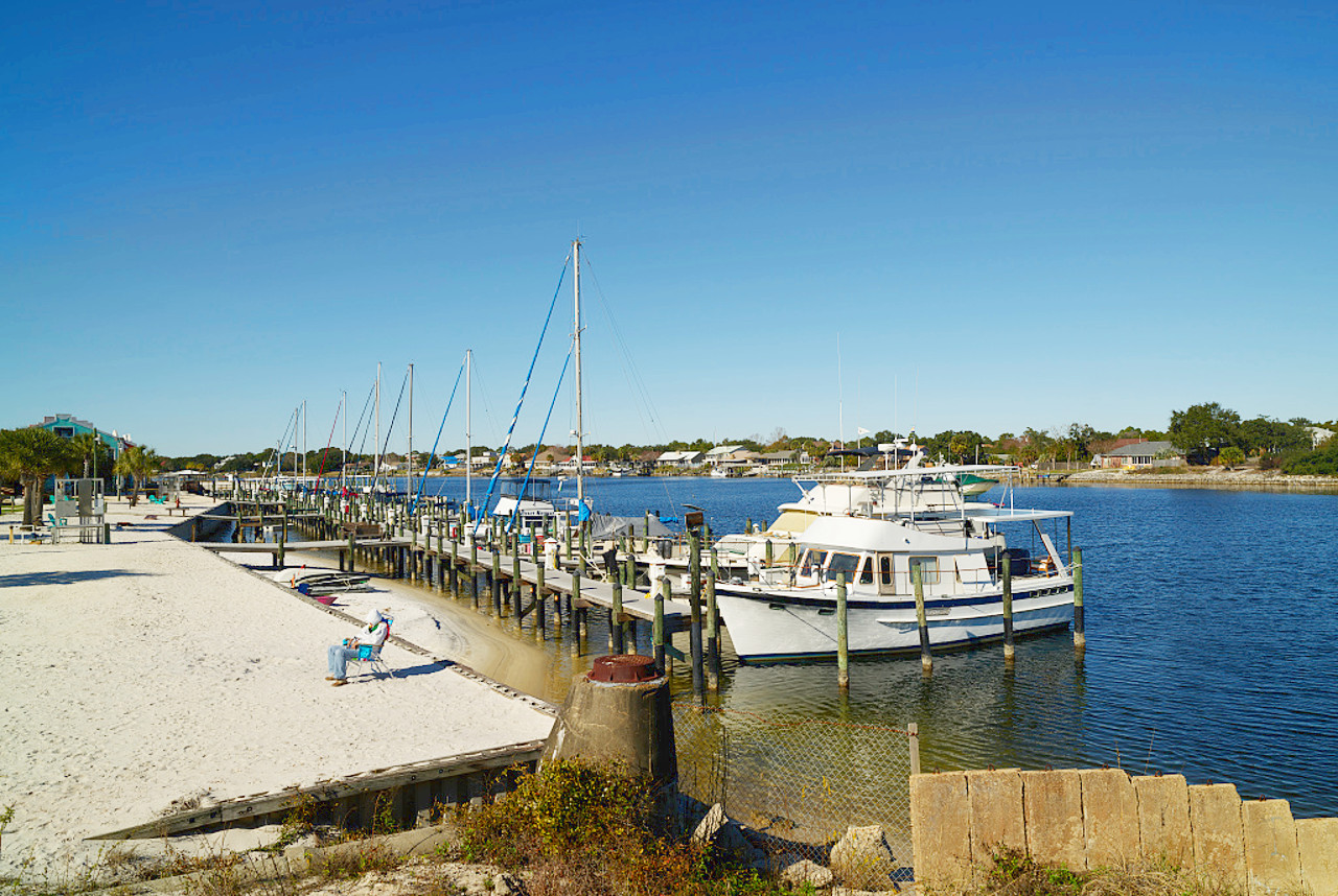
Coasts
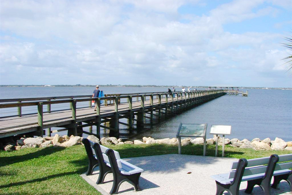
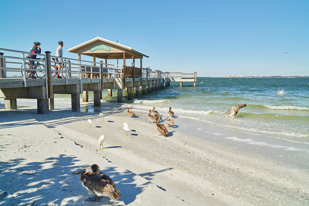
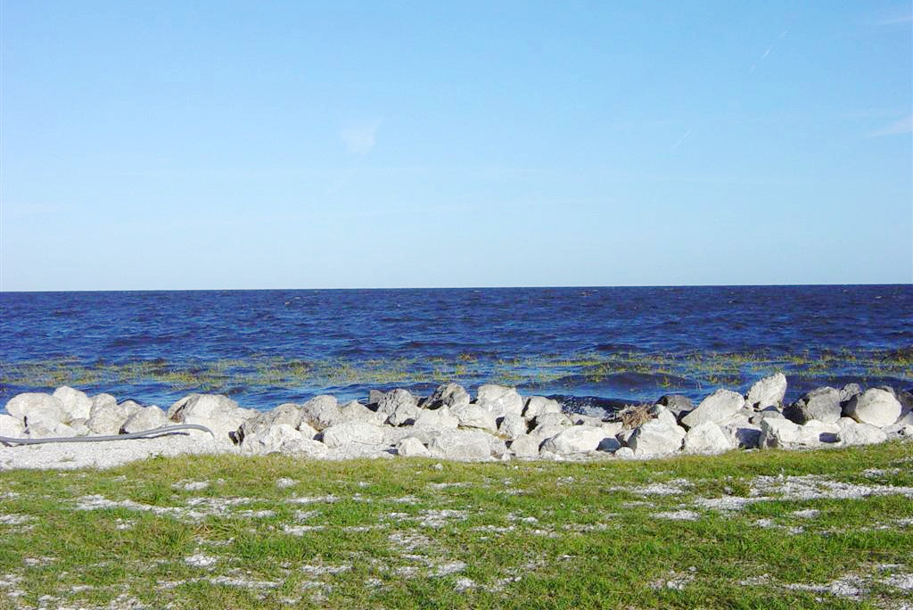
Florida has the longest coastline of any American State except Alaska. Along much of the western coast and along nearly the whole of the eastern coast extends a line of sand reefs and narrow islands enclosing shallow and narrow bodies of water called rivers, lakes, lagoons, bays and harbours. Eastern Florida is part of the Atlantic coastal plain, and its east coast is shielded from the Atlantic by sandbars.
,_NPSPhoto_(9101483950).jpeg)
The western coast line is less regular than the eastern, being indented by a number of bays and harbours the largest of which are Charlotte Harbour, Tampa Bay and Pensacola Bay. Near its southern tip are the Ten Thousand Islands, a mass of mostly tiny mangrove-covered islets.
Central
.jpeg)
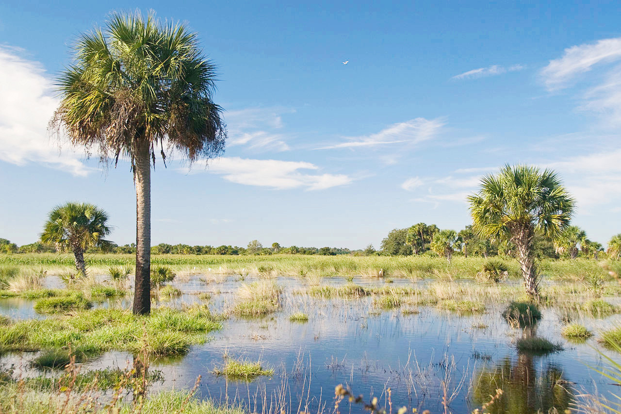
Inland Florida is a vast tracts of prairie or savanna land with large swamp areas. Central Florida is remarkable for its thousands of lakes, ponds, and sinks; Lakes Kissimmee, Tohopekaliga, Apopka, Harris, and George are chief among them. They are due largely to sinkholes or depressions in the limestone of the region. Many of the lakes are connected by flooded subterranean channels. Florida also has more than 1,700 rivers, streams, and creeks. The longest river is the St. Johns River, which empties into the Atlantic 19 miles (42 km) east of Jacksonville: its length is approximately 310 miles (500 km).
Lake Okeechobee, in south-central Florida, is the largest of the state's lakes. About 40 miles long and 30 miles wide, it is one of the largest natural lakes located entirely within the United States. Like all of Florida's lakes, it is extremely shallow, having a maximum depth of 15 feet (5 meters), and was formed through the action of groundwater and rainfall in dissolving the limestone layer that underlies Florida.
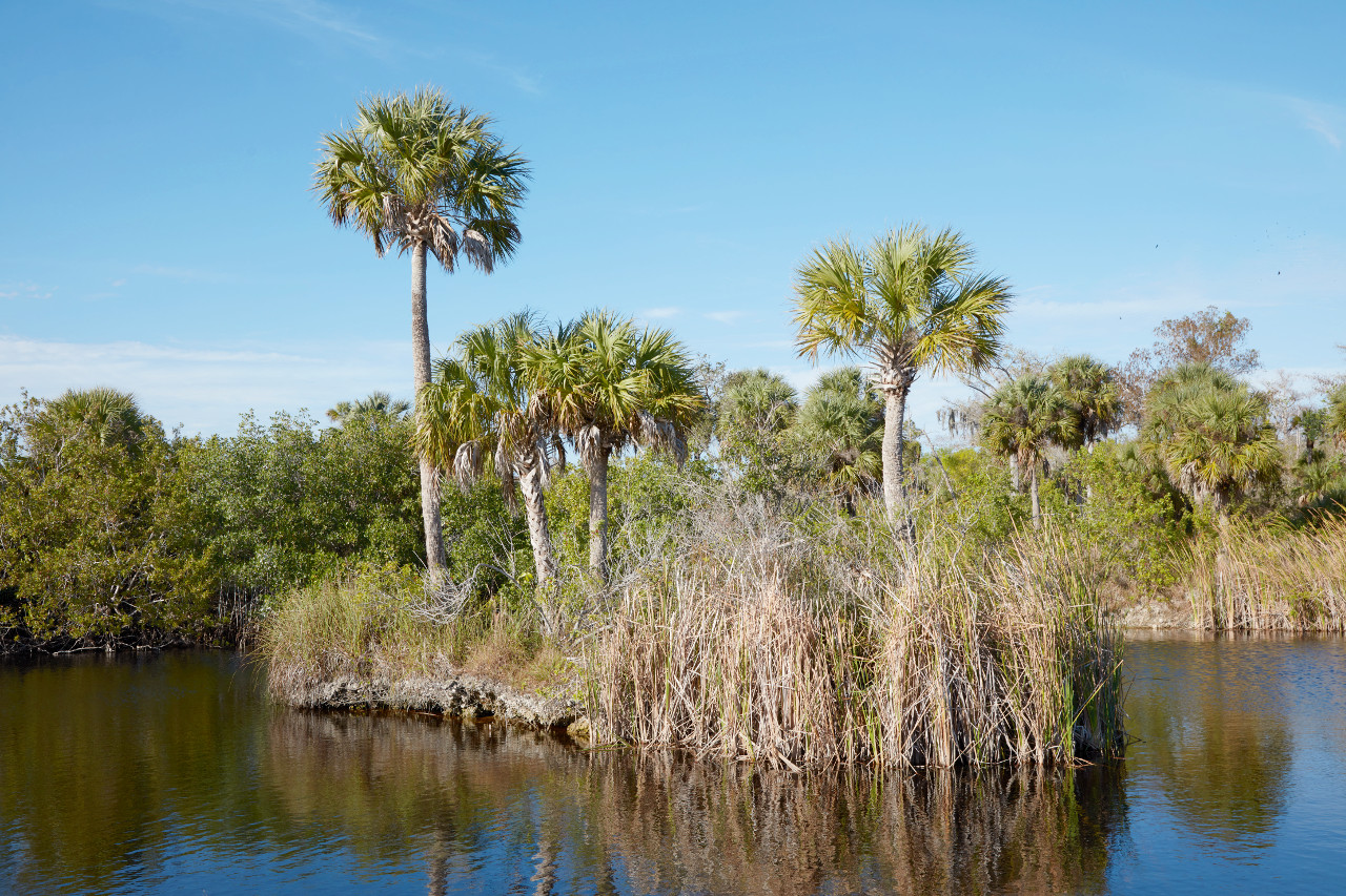
South
,_NPSphoto_(9099279043).jpeg)
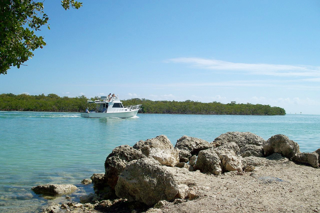
Much of southeastern Florida is covered by the Everglades, the world's largest sawgrass swamp. Extending 130 by 70 miles, its surface is largely submerged during the rainy season—April to November—and becomes a muddy expanse in the dry months. The Everglades are penetrated in all directions by a network of small, shallow streams, and at short intervals over the entire area are found wooded islands covered with semi-tropical vegetation. The surface water, often only knee-deep, is pure water abounding in fish, and has a perceptible southbound current. The Everglades is, in a sense, a huge river, in which water flows south–southwest from Lake Okeechobee to Florida Bay.
Slight elevations, known as hammocks, support clumps of cypress trees. To the west and north of the Everglades is Big Cypress National Preserve which contains far less surface water. The Everglades are separated from the Gulf by extensive cypress swamps, the forests extending down the west coast, narrowing out around the cape, and extending up along the Atlantic coast.
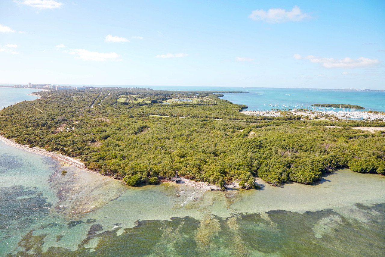
Islands
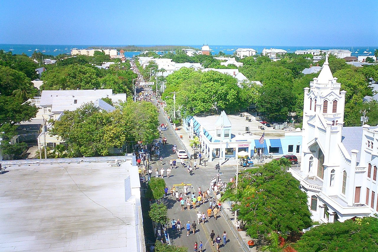
More than 4,500 islands surround Florida, but best known are the Florida Keys. South from the mainland this chain of small rocky islands, cays or keys, extends southwest, ending in a cluster of rocks and sand banks called the 'Tortugas'—a name derived from the turtles found in the neighboring waters. South of the bank upon which these keys rise, is a long narrow coral reef known as the Florida Reef. The most important of the keys is Key West, the westernmost. For a long period the haunt of smugglers and pirates, it is now a popular resort and the southernmost city in Florida. This key is about 6 miles long and 2 broad, with a large, well sheltered harbor.
What is the nature of Florida like?
.jpeg)
Florida is a well-wooded and well-watered State. The plant species of northern Florida are similar to that of south-eastern North America; but southern Florida seems to be a link between the vegetation of North America and that of South America and the Carribean, and many of the plants are common to the West Indies, Mexico and South America. The forests cover around half the area of the State, and are predominant in the north. Pine trees—longleaf pine, loblolly pine, slash pine—are the common tree, except in the coastal marsh lands, where cypress, found throughout the state, particularly abounds. But many other varieties of forest trees are found including cedar, oak, magnolia, hickory, and sweet gum.
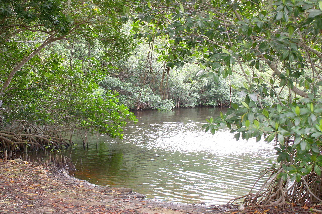
The state is known for its wide variety of palms, but only 15 are native, and more than 100 have been introduced; common types include royal palm and coconut palm. The swamplands are shallow and covered in some parts by tall sawgrass, limestone rock, and tree islands. Dense mangrove thickets grow along the lower coastal regions. Open forests have an abundance of flowers, including more than 60 varieties of orchid.
_(6852446958).jpeg)
_-_cropped.jpg&oldid=510517768)
_(9255502965).jpg&oldid=477572571)
,_NPSPhoto_(9101483950).jpg&oldid=474658144)
.jpg&oldid=487953818)
,_NPSphoto_(9099279043).jpg&oldid=206355241)
.jpg&oldid=206354589)
_(6852446958).jpg&oldid=490570884)
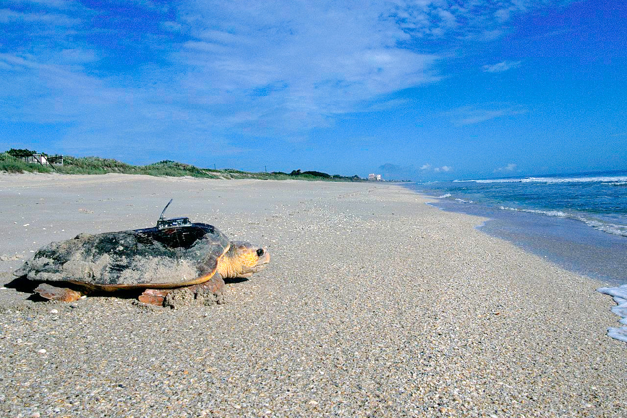
Up to ninety species of mammals, including Florida panthers, black bears, manatees, and bottle-nosed dolphins, can be found in Florida. There are hundreds of bird species, most of which feed in the rich wetlands which provide food and shelter for many wild animals. The State is famous for its marine life: scores of freshwater and saltwater fish, rays, shrimps, and the live coral reefs. Turtle species include mud, green, and loggerhead turtles.
What is the climate of Florida like?
Florida is famous for its mild, sunny climate, making it a major tourist center. Average annual temperatures range from 65° to 70°F (18° to 21°C) in the north, and from 74° to 77°F (23° to 25°C) in the south. Key West has the highest annual average temperature in the US, at 78° F (26°C).
Florida has high humidity and abundant rainfall, although droughts can occur. Rainfall is generally frequent from June through September; and periods of extremely heavy rainfall are common. But the state also receives abundant sunshine—as high as 68% at Miami. Florida’s long coastline makes it vulnerable to hurricanes and tropical storms, which may approach from either the Atlantic or the Gulf coast.
| Climate data for Tallahassee (1991–2020) | |||||||||||||
|---|---|---|---|---|---|---|---|---|---|---|---|---|---|
| Month | Jan | Feb | Mar | Apr | May | Jun | Jul | Aug | Sep | Oct | Nov | Dec | Year |
| Average high °F (°C) | 63.9 (17.7) | 67.8 (19.9) | 74.2 (23.4) | 80.2 (26.8) | 87.4 (30.8) | 90.8 (32.7) | 92.1 (33.4) | 91.5 (33.1) | 88.6 (31.4) | 81.7 (27.6) | 72.5 (22.5) | 65.9 (18.8) | 79.7 (26.5) |
| Daily mean °F (°C) | 52.2 (11.2) | 55.6 (13.1) | 61.4 (16.3) | 67.3 (19.6) | 75.2 (24.0) | 80.8 (27.1) | 82.5 (28.1) | 82.4 (28.0) | 79.1 (26.2) | 70.3 (21.3) | 60.2 (15.7) | 54.4 (12.4) | 68.5 (20.2) |
| Average low °F (°C) | 40.5 (4.7) | 43.5 (6.4) | 48.6 (9.2) | 54.4 (12.4) | 63.0 (17.2) | 70.8 (21.6) | 73.0 (22.8) | 73.2 (22.9) | 69.6 (20.9) | 58.8 (14.9) | 48.0 (8.9) | 42.9 (6.1) | 57.2 (14.0) |
| Average precipitation inches (mm) | 4.41 (112) | 4.28 (109) | 5.24 (133) | 3.53 (90) | 3.36 (85) | 7.76 (197) | 7.14 (181) | 7.60 (193) | 4.91 (125) | 3.24 (82) | 3.10 (79) | 4.24 (108) | 58.81 (1,494) |
| Source: NOAA | |||||||||||||
.jpeg) Cypress sunset, Everglades National Park
Cypress sunset, Everglades National Park
.jpg&oldid=485856051)
The official websites
Florida
The Sunshine State
| Location: | Extreme southeastern United States |
| Coordinates: | 28° 45′ N, 82° 30′ W |
| Size: | • 720 km N-S; 580 km E-W • 445 miles N-S; 360 miles E-W |
| Terrain: | A huge plain. Rolling country in the north. The Everglades, the world’s largest sawgrass swamp, in the south |
| Climate: | Sub-tropical. Mild, sunny, and moderate all year round. Vulnerable to tropical storms |
| Highest point: | Britton Hill 105 m / 345 ft |
| Forest: | 51% (2016) (source) |
| Population: | 21,477,73 (2019) |
| Population density: | Medium (121/km²) |
| Capital: | Tallahassee |
| Languages: | English; Spanish |
| Human Development Index: | Very High (0.916) |