The Geography of
Georgia
Why visit Georgia?
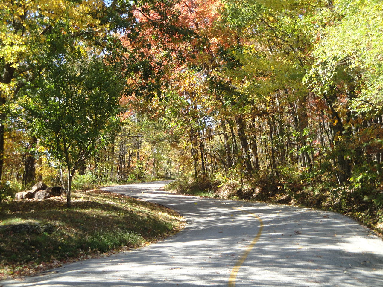
Georgia is a beautiful state with lots of history and culture. It's renowned for its natural beauty. Georgia's attractions range from the humid lowlands of the Okefenokee National Wildlife Refuge to the breezy summits of the Blue Ridge Mountains. There's the chain of tidal Sea Islands, and the historic city of Savannah. The state is varied and fascinating.
Contents
Map
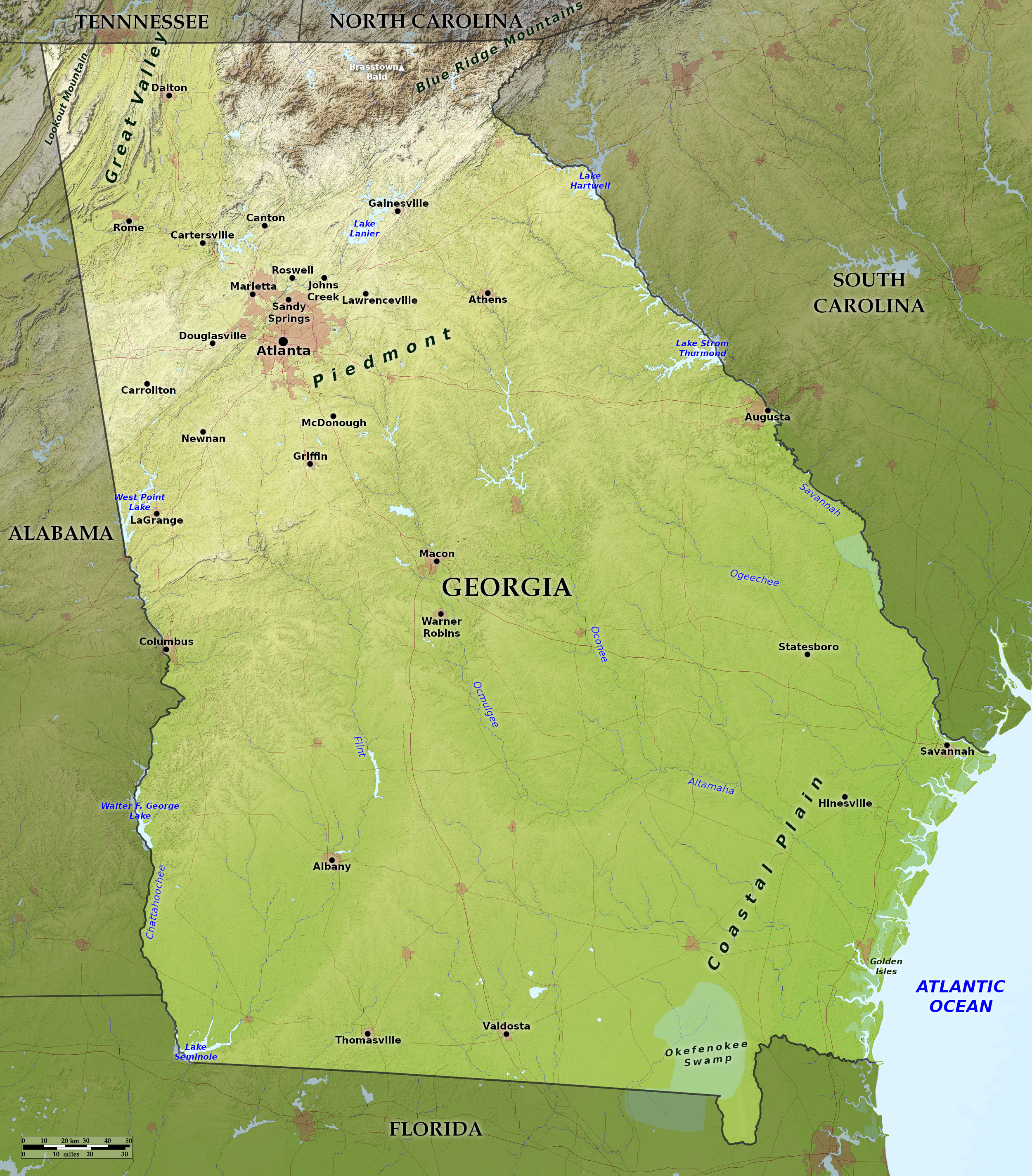 Relief map of Georgia
What is the landscape of Georgia like?
Northern Georgia is mountainous, the central region is characterized by the rolling hills of the Piedmont Plateau, and southern Georgia is a nearly flat coastal plain.
North: The mountains
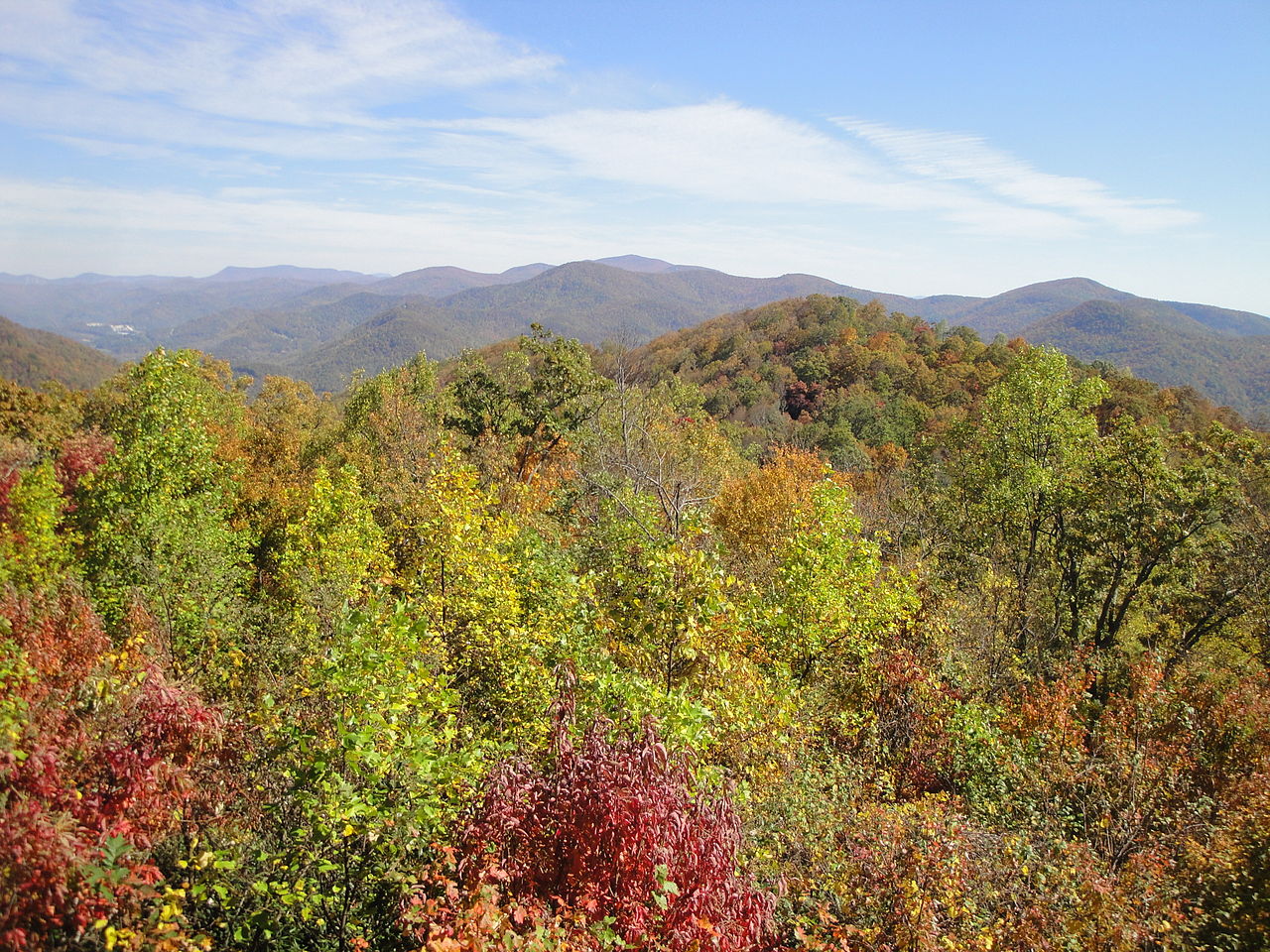
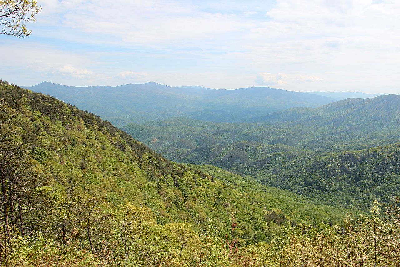
Northern Georgia lie the Appalachian Mountains Region and the Great Valley Region. The former to the east is the Blue Ridge chain of the Appalachians, which crosses into North Carolina. The Blue Ridge Mountains consist of detached crystalline mountain masses which fade out entirely towards the southwest. They have a height of around 3,000 to 4,000 feet (900–1,200 m), of which the highest peak is Brasstown Bald, at 4,784 feet (1,458 m).
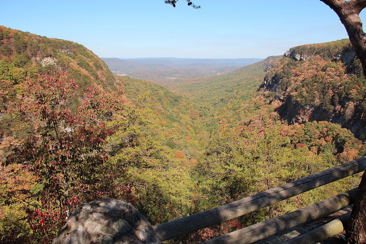
The Great Valley Region in the northwest consists of folded sedimentary rocks, where erosion has formed valleys running in a northeast-to-southwest direction. In the extreme northwest corner of the state is a small part of the Cumberland Plateau, represented by Lookout Mountain.
Center: The Piedmont Plateau
From the mountains in the north, the Piedmont Plateau slowly, descending from about 2,000 feet (600 m) to 300 feet (90 m) above sea level. This is a broad belt of hills and valleys, sloping toward the sea. The Piedmont region ends in a series of sand hills running across the middle of the State from Augusta to Columbus.
South: The Coastal Plain
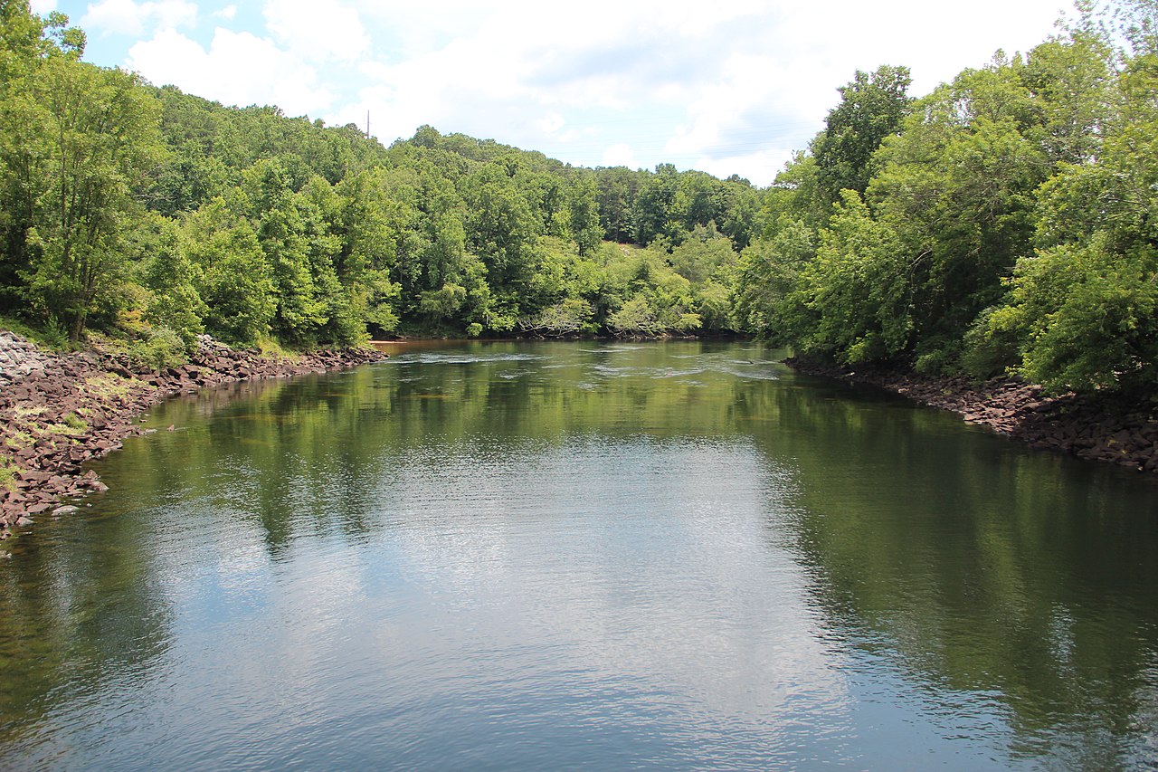
Southern Georgia is the coastal plain, thinly populated except for towns at the mouths of inland rivers. The land is uniform except where crossed by low hills and river valleys. The region is bounded by rwo great rivers: the Savannah River, which forms part of the border with South Carolina, and the Chattahoochee River, which flows across the state to become the western border. Huge lakes created by dams are found on both rivers. Another large river, the Flint joins the Chattahoochee at the southwestern corner of Georgia. The two largest rivers of central Georgia, the Ocmulgee and Oconee, flow together to form the Altamaha River, which then flows into the Atlantic Ocean.
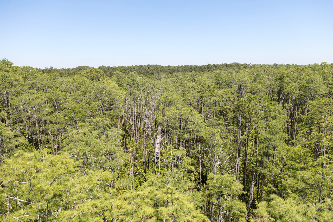
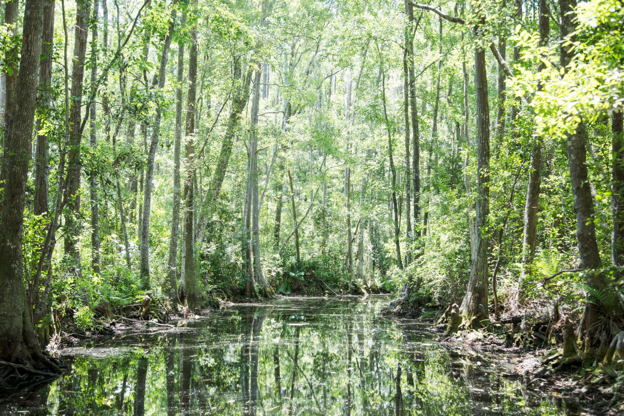
On the southern border of Georgia is the Okefinokee Swamp, or rather series of swamps, occupying an area 45 miles long by 30 miles wide. It contains several fresh-water lakes, but there are numerous islands and intersecting ridges that support heavy forests. This wildlife reserve is covered with vines, bay trees, and underwood, and teeming with alligators, lizards, and other reptiles.
The coast of Georgia ends in marshlands bordering the Atlantic Ocean. Numerous low islands which extend parallel to the shores, of which the most famous are called the Golden Isles of Georgia. The islands are flat, and generally just slightly above the sea-level. These islands are most attractive—many contain forests of oak, and the shores are skirted with palms, palmettos, and tropical shrubs.
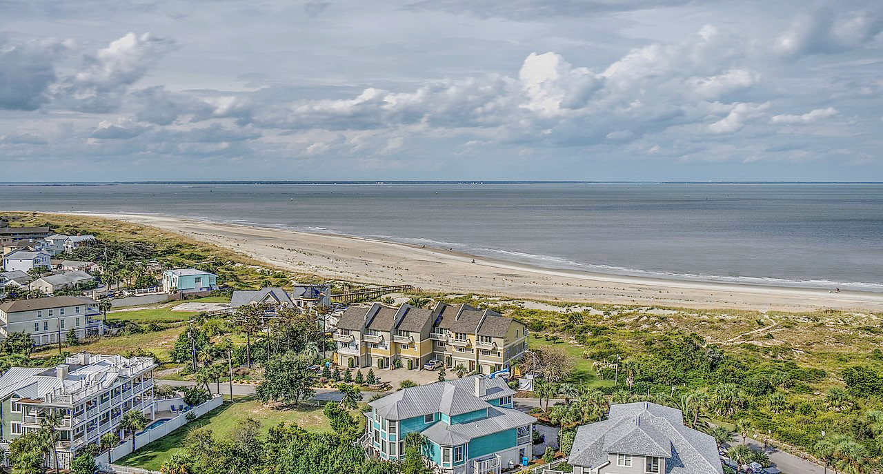 View over Tybee Island
What is the nature of Georgia like?
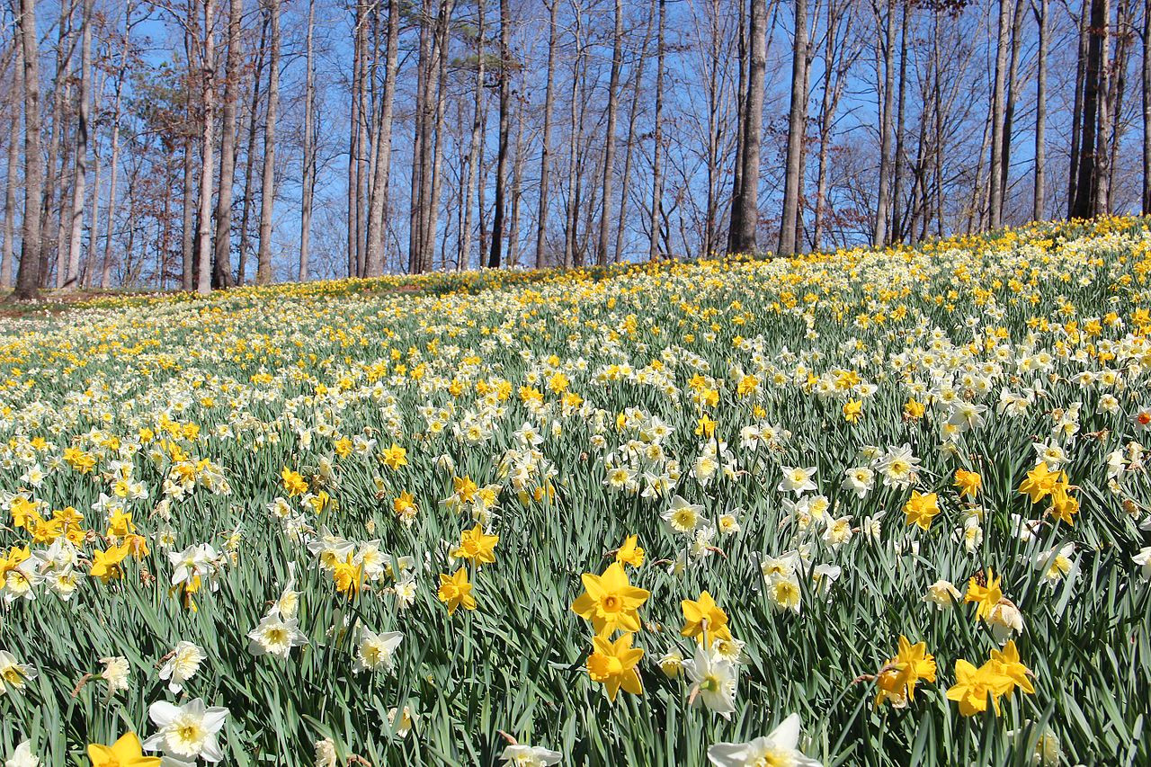
Georgia is heavily forested and the State has around 250 species of trees. White pines and scrub pines, chestnut, red oak, and buckeye cover the mountain zone, while loblolly pine, shortleaf pine and whiteback maple are found throughout the Piedmont Plateau. Pecan trees grow densely in southern Georgia, and white oak and cypress are plentiful in the eastern part of the state. Other trees found throughout the state include red cedar, hickory, red maple, sycamore, yellow poplar, sassafras, sweet gum, black gum, and various dogwoods and magnolias. Common flowering shrubs of Georgia include yellow jasmine, flowering quince, and mountain laurel.
Near the coast the plants along the river banks are of canes, cypress, magnolia, gum, oak, tulip, ash, sweet bay, and many other species; while back upon the sandy lands there are pines and scrub oaks. Many species of palmetto give a tropical air to the sea islands. Spanish moss grows abundantly on the coast and around the streams and swamps of the entire coastal plain. Kudzu vines, originally from Asia, are everywhere.
What is the climate of Georgia like?
The climate of Georgia is temperate, but it differs considerably in different parts of the state. In southern Georgia the climate resembles that of northern Florida; the winters are mild with few frosts and rarely snow; the summers long and hot with July temperatures averaging 80°F (27°C) or above. The northern part has a cooler climate, but both the winters and summers are free from extreme temperatures, averaging 39°F (4°C) in January and 78°F (26°C) in July.
Humidity is high, and rainfall varies considerably from year, but it is generally greatest in the extreme north, and lowest in the eastern part. Winter snow occurs occasionally in the interior.
| Climate data for Atlanta (1991–2020) | |||||||||||||
|---|---|---|---|---|---|---|---|---|---|---|---|---|---|
| Month | Jan | Feb | Mar | Apr | May | Jun | Jul | Aug | Sep | Oct | Nov | Dec | Year |
| Average high °F (°C) | 54.0 (12.2) | 58.2 (14.6) | 65.9 (18.8) | 73.8 (23.2) | 81.1 (27.3) | 87.1 (30.6) | 90.1 (32.3) | 89.0 (31.7) | 83.9 (28.8) | 74.4 (23.6) | 64.1 (17.8) | 56.2 (13.4) | 73.2 (22.9) |
| Daily mean °F (°C) | 44.8 (7.1) | 48.5 (9.2) | 55.6 (13.1) | 63.2 (17.3) | 71.2 (21.8) | 77.9 (25.5) | 80.9 (27.2) | 80.2 (26.8) | 74.9 (23.8) | 64.7 (18.2) | 54.2 (12.3) | 47.3 (8.5) | 63.6 (17.6) |
| Average low °F (°C) | 35.6 (2.0) | 38.9 (3.8) | 45.3 (7.4) | 52.5 (11.4) | 61.3 (16.3) | 68.6 (20.3) | 71.8 (22.1) | 71.3 (21.8) | 65.9 (18.8) | 54.9 (12.7) | 44.2 (6.8) | 38.4 (3.6) | 54.1 (12.3) |
| Average precipitation inches (mm) | 4.59 (117) | 4.55 (116) | 4.68 (119) | 3.81 (97) | 3.56 (90) | 4.54 (115) | 4.75 (121) | 4.30 (109) | 3.82 (97) | 3.28 (83) | 3.98 (101) | 4.57 (116) | 50.43 (1,281) |
| Source: NOAA | |||||||||||||
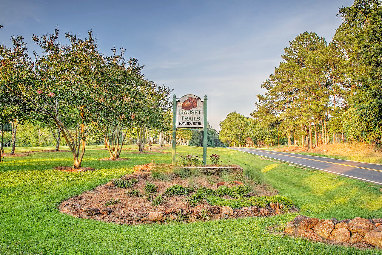
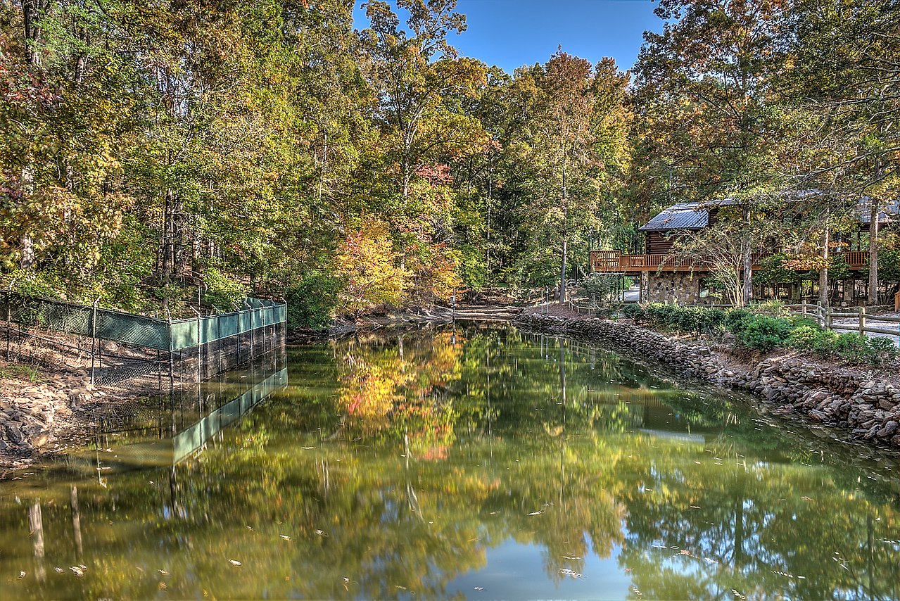 Dauset Trails Nature Center
The official websites
Georgia

The Peach State
| Location: | Southeastern United States; north of Florida |
| Coordinates: | 32° 45′ N, 83° 30′ W |
| Size: | • 480 km N-S; 370 km E-W • 300 miles N-S; 230 miles E-W |
| Terrain: | The northern is mountainous, the central region has rolling hills, the south is a nearly flat coastal plain |
| Climate: | Mild winters, hot summers, high humidity, cooler in the mountains |
| Highest point: | Brasstown Bald 1,458 m / 4,784 ft |
| Forest: | 67% (2016) (source) |
| Population: | 10,617,423 (2019) |
| Population density: | Low (65/km²) |
| Capital: | Atlanta |
| Languages: | English; Spanish (7.42%); Other (2.82%) |
| Human Development Index: | Very High (0.910) |
.jpeg)
.jpeg)
