.jpg)
The Geography of
New Jersey
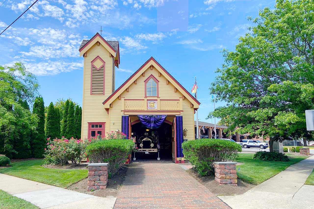
Why visit New Jersey?
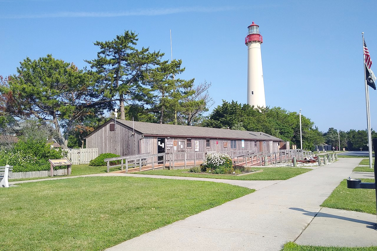
New Jersey has plenty of natural wonders and attractions to explore. From the beaches in the Atlantic Ocean to forests, hills, and lakes in the northern part of the state. There's more than 125 miles of seashore, culminating with the Victorian beach resort of Cape May. Highlights include the Delaware Water Gap (on the border with Pennsylvania); Palisades (cliffs) along the west bank of the Hudson River; Morristown National Historical Park; Edison National Historic Park; the Walt Whitman House, Camden; and the Statue of Liberty National Monument (shared with New York).
Map
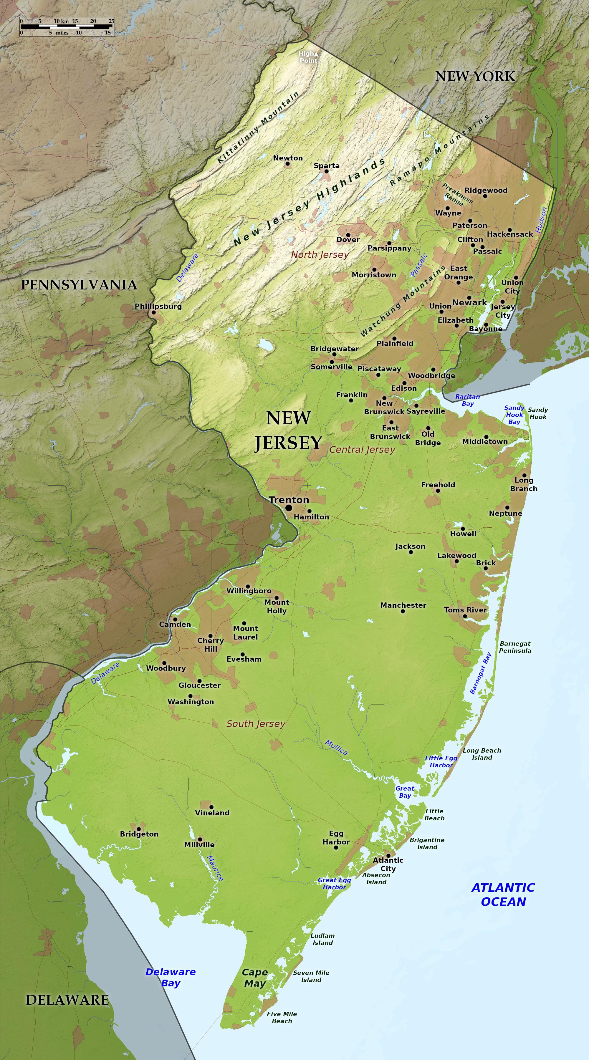 Relief map of New Jersey
What is the landscape of New Jersey like?
Highlands
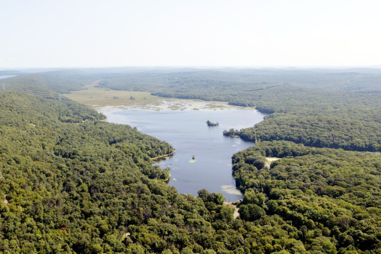
New Jersey is divided between the Highlands in the north and the Coastal Plain further south. The Appalachians cross the northwest corner of the state, and includes the Kittatinny Mountain and Valley. The mountain is a ridge a few miles in width. In the north at High Point, the ridge attains a height of 1,804 feet (550 m), the highest point within the state. Southeast of the Kittatinny Range, are the Highlands proper. This region with a width varying from 9 to 18 miles, consists of an upland plateau divided by rivers into hills and ridges about 1,000 feet (300 m) in height. In this region too, are numerous lakes, which are popular tourist resorts during the summer months.
Coastal Plain
.jpg&oldid=605144614)
The Coastal Plain, contains slightly more than half the entire surface of the state. It is free from mountain ridges, but there are a number of isolated hills. About one-eighth of the area consists of tidal marsh, lying between the long sandy ridges or barrier beaches of the Atlantic coast and the mainland. The width of the marsh varies from 1 to 6 miles, being greatest near the mouths of the rivers. There is also extensive marsh along Delaware Bay, unprotected by beach. The eastward-flowing rivers of the Coastal Plain are also fringed with large areas of forests and marsh.
The other great feature of the State is the Delaware river which flows along the western and southern borders of the state for a distance of 245 miles. In the northeast there is also the Hudson river, whose lower waters form the northeastern boundary of New Jersey for a distance of 22 miles.
What is the nature of New Jersey like?
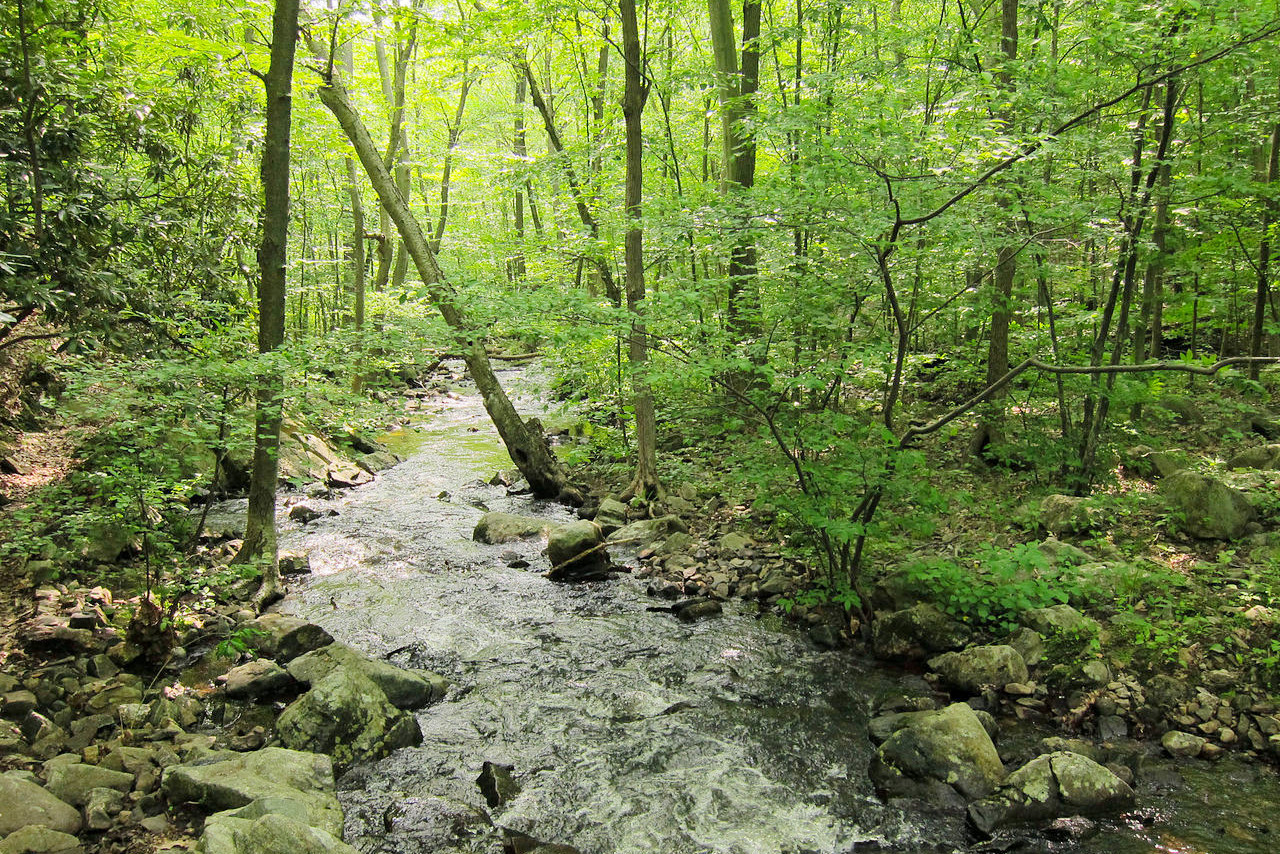
In southern and eastern New Jersey is a nearly level, sandy region known as "The Pines." This is the great forest area of the State; it contains pitch pine and shortleaf pine with a variety of oaks. Along the streams in this section are many swamps noted for white cedar. The northern part of the state is much more rugged, and the forests are chiefly of chestnut and various species of oak.
What is the climate of New Jersey like?
The climate of New Jersey is temperate, and generally rather cooler in the Highlands than on the Coastal Plain. The closeness to the sea gives New Jersey a milder climate than some of the states further west. During the summer months an incoming current of air, the “sea breeze,” arrives around midday and gradually increases until about three o'clock in the afternoon, and then gradually lessens until the offshore wind takes its place.
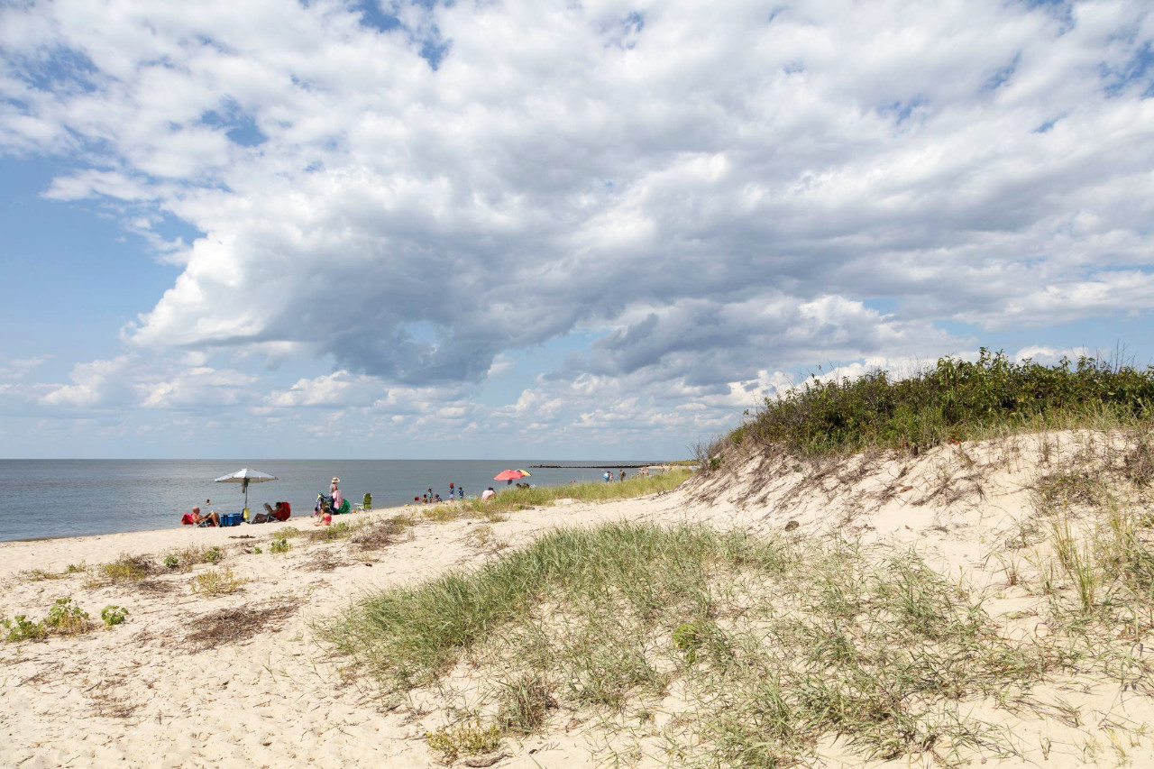
As the heat is less oppressive along the coast, the beaches of New Jersey have rapidly built up with towns and cities that have become popular summer resorts—among the best known of these are Atlantic City and Cape May. Rainfall occurs in all seasons, but from December to March sometimes arrives in the form of snow.
| Climate data for Trenton, New Jersey (1991–2020) | |||||||||||||
|---|---|---|---|---|---|---|---|---|---|---|---|---|---|
| Month | Jan | Feb | Mar | Apr | May | Jun | Jul | Aug | Sep | Oct | Nov | Dec | Year |
| Average high °F (°C) | 39.7 (4.3) | 42.8 (6.0) | 50.8 (10.4) | 62.9 (17.2) | 72.4 (22.4) | 81.0 (27.2) | 86.0 (30.0) | 84.0 (28.9) | 77.1 (25.1) | 65.5 (18.6) | 54.5 (12.5) | 44.4 (6.9) | 63.4 (17.4) |
| Daily mean °F (°C) | 32.0 (0.0) | 34.3 (1.3) | 41.7 (5.4) | 52.5 (11.4) | 62.0 (16.7) | 71.0 (21.7) | 76.3 (24.6) | 74.4 (23.6) | 67.4 (19.7) | 55.7 (13.2) | 45.4 (7.4) | 36.8 (2.7) | 54.1 (12.3) |
| Average low °F (°C) | 24.3 (−4.3) | 25.9 (−3.4) | 32.7 (0.4) | 42.1 (5.6) | 51.6 (10.9) | 60.9 (16.1) | 66.6 (19.2) | 64.8 (18.2) | 57.7 (14.3) | 45.9 (7.7) | 36.3 (2.4) | 29.3 (−1.5) | 44.8 (7.1) |
| Average precipitation inches (mm) | 3.29 (84) | 2.63 (67) | 3.97 (101) | 3.63 (92) | 3.99 (101) | 4.25 (108) | 4.39 (112) | 4.22 (107) | 4.09 (104) | 3.79 (96) | 3.18 (81) | 4.04 (103) | 45.47 (1,155) |
| Source: NOAA | |||||||||||||
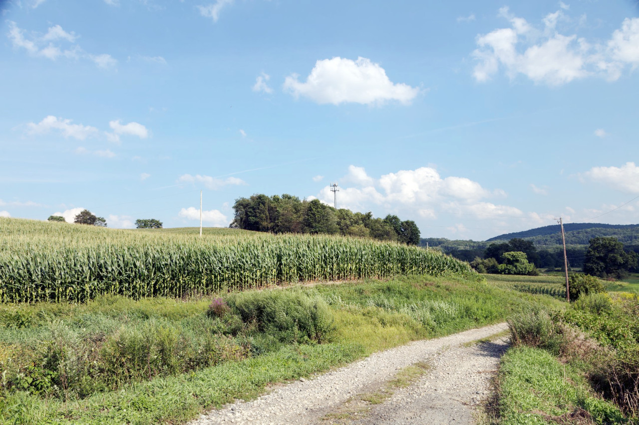
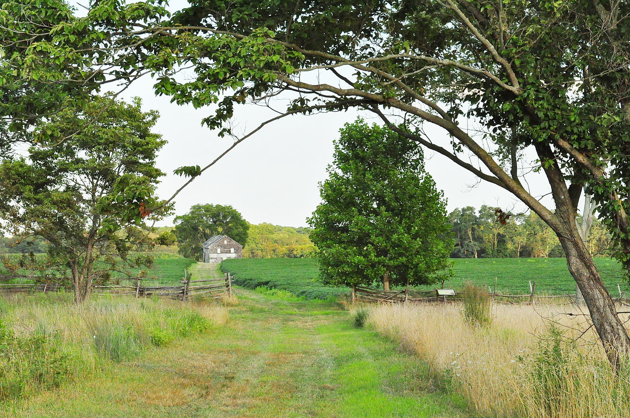
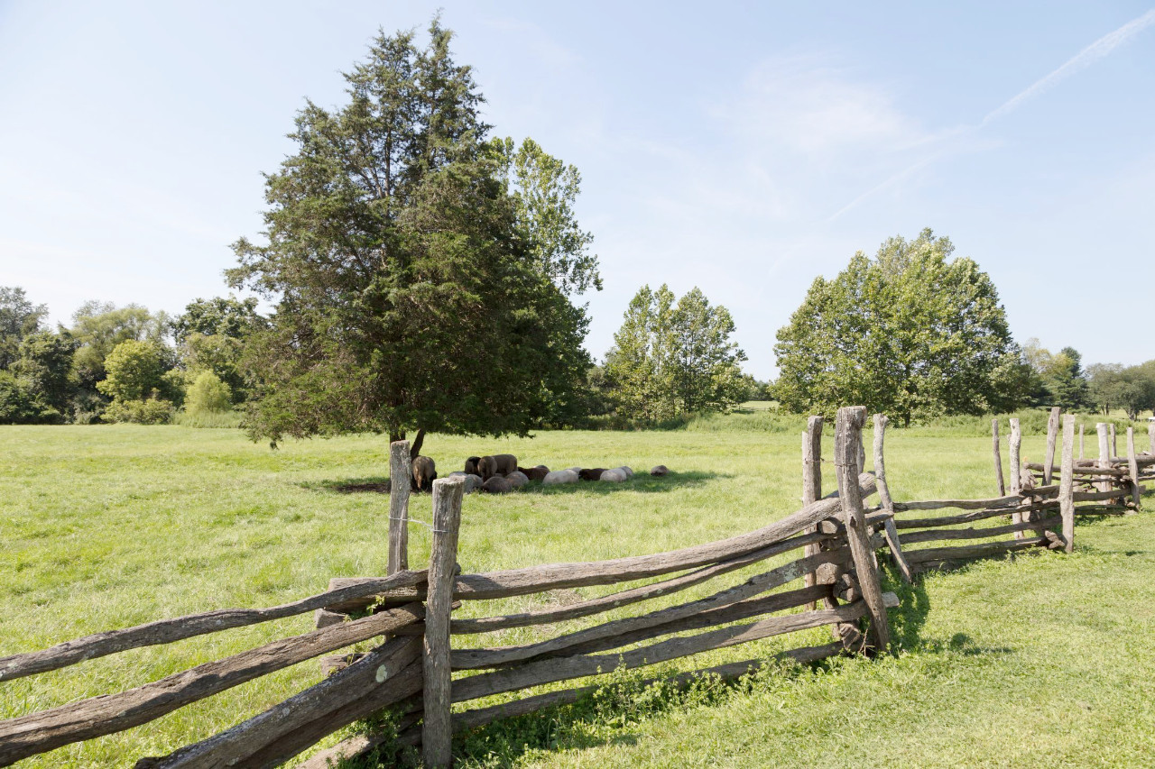 Pastureland at The Howell Living History Farm in Lambertville
The official websites
New Jersey
The Garden State
| Location: | Northeastern United States |
| Coordinates: | 40° 15′ N, 74° 45′ W |
| Size: | • 265 km N-S; 90 km E-W • 165 miles N-S; 55 miles E-W |
| Terrain: | Highlands in the northwest; flat coastal plain elsewhere |
| Climate: | Temperate climate. Warm, humid summers; cold winters |
| Highest point: | High Point 550 m / 1,804 ft |
| Forest: | 42% (2016) (source) |
| Population: | 8,882,190 (2019) |
| Population density: | High (467/km²) |
| Capital: | Trenton |
| Languages: | English (69%); Spanish (16%) |
| Human Development Index: | Very High (0.948) |