.jpeg)
.jpeg)
The Geography of
Delaware
Why visit Delaware?
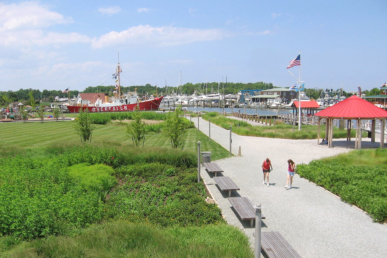
Although the second smallest State in the United States, Delaware is far from uniform. The wooded hills and pastures of the north give way to marshes in the south, with sandy beaches along the coast. Delaware possesses a naturally rich variety of plants and animals. Delaware towns are quaint and charming and the state has a pristine coastline with lovely beaches. From its beaches to its charming towns and art museums, Delaware has something for everyone.
Map
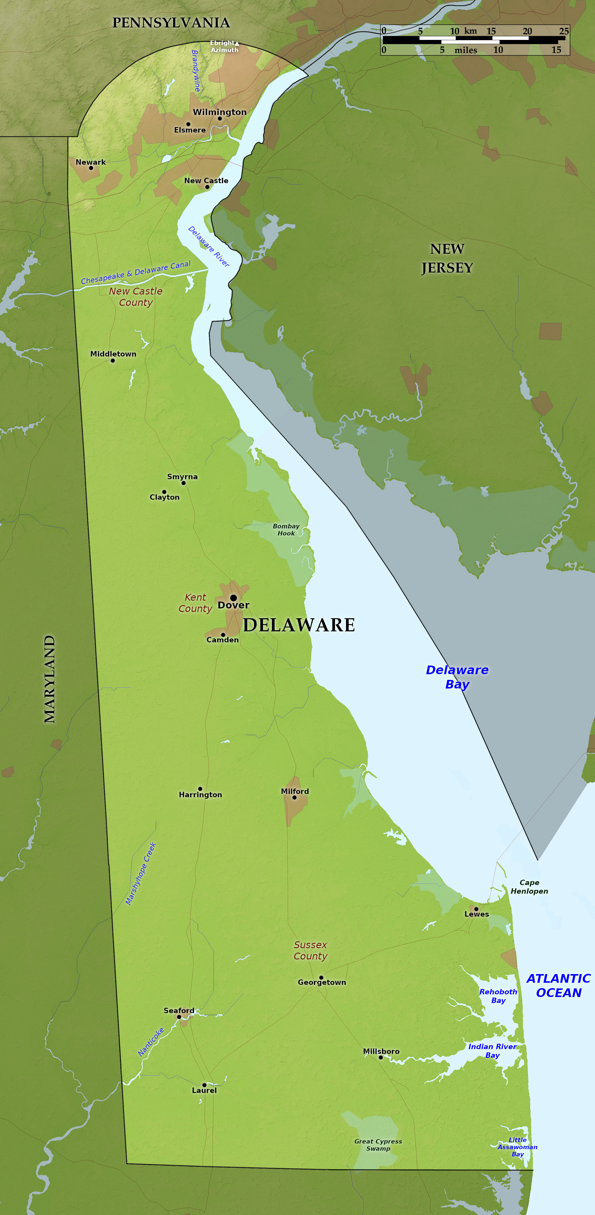 Relief map of Delaware
Regions
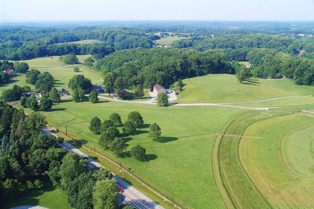
North
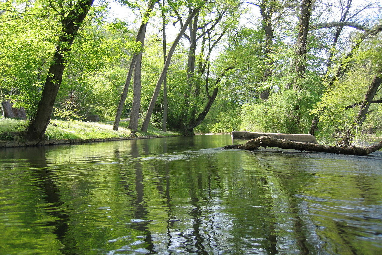
In the north of Delware there are rolling, moderately high hills and valleys and rapid streams. This area, about one-twentieth of the area of the State, is part of the Piedmont Plateau with rocky hills. There was once hardwood forest across this region. Much of it is now gone, but the remains of the Brandywine Forest survive bordering the winding course of the Brandywine Creek—from the city Wilmington to the Pennsylvania line: about seven miles. The State's highest point though is just 448 ft (137 m) near Centerville, New Castle County.
South
The rest of Delaware lies on the Atlantic Coastal Plain, and so is a rolling to flat landscape, hardly every rising above 60 feet (20 m) above sea level. The region was originally was forested with hardwood trees with the exception of the tidal marshes bordering the Delaware River and Delaware Bay. Much of this landscape is now farmland, but around 30% of the State remains forested. Dykeing, ditching, and filling have modified many of the tidal marshes. The damming of small streams has created dozens of inland freshwater lakes and ponds, and these with their natural margins support many plants and animals.
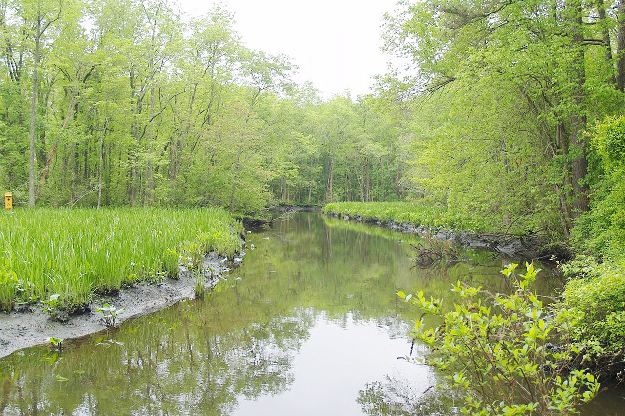
The tidal marshes of Kent County, on the shores of Delaware Bay, are a continuous tidal marshland about 15 miles in length, and around 4 miles wide. Here, much of the original marshland survives. The marsh is treeless and it is divided into islands by the courses of many small creeks.
Whereas the shore of Delaware Bay is marshy, the Atlantic shore is sandy with many sand dunes. Rehoboth Beach, on the State's southeastern coast has been a popular vacation spot with summer visitors for more than 100 years. In the far the south of the state is another nature reserve, still known as Cypress Swamp (because it once included a magnificent growth of cypress).
.jpeg) Bombay Hook National Wildlife Refuge
Bombay Hook National Wildlife Refuge
What is the nature of Delaware like?
.jpg&oldid=481373405)
.jpg&oldid=507799420)
.jpg&oldid=492663542)
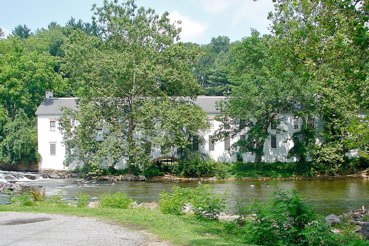
The original forest of Delware consisted of trees such as oak, tulip poplar, beech, hickory, ash, maple, and walnut, as well as coniferous trees of cypress and mixed pine. Delware's forests today are not disimilar, varying from pine, or mixed pine and oak, to pure hardwood oak, maple, and so on. The forests are penetrated by many streams both natural and artificial.
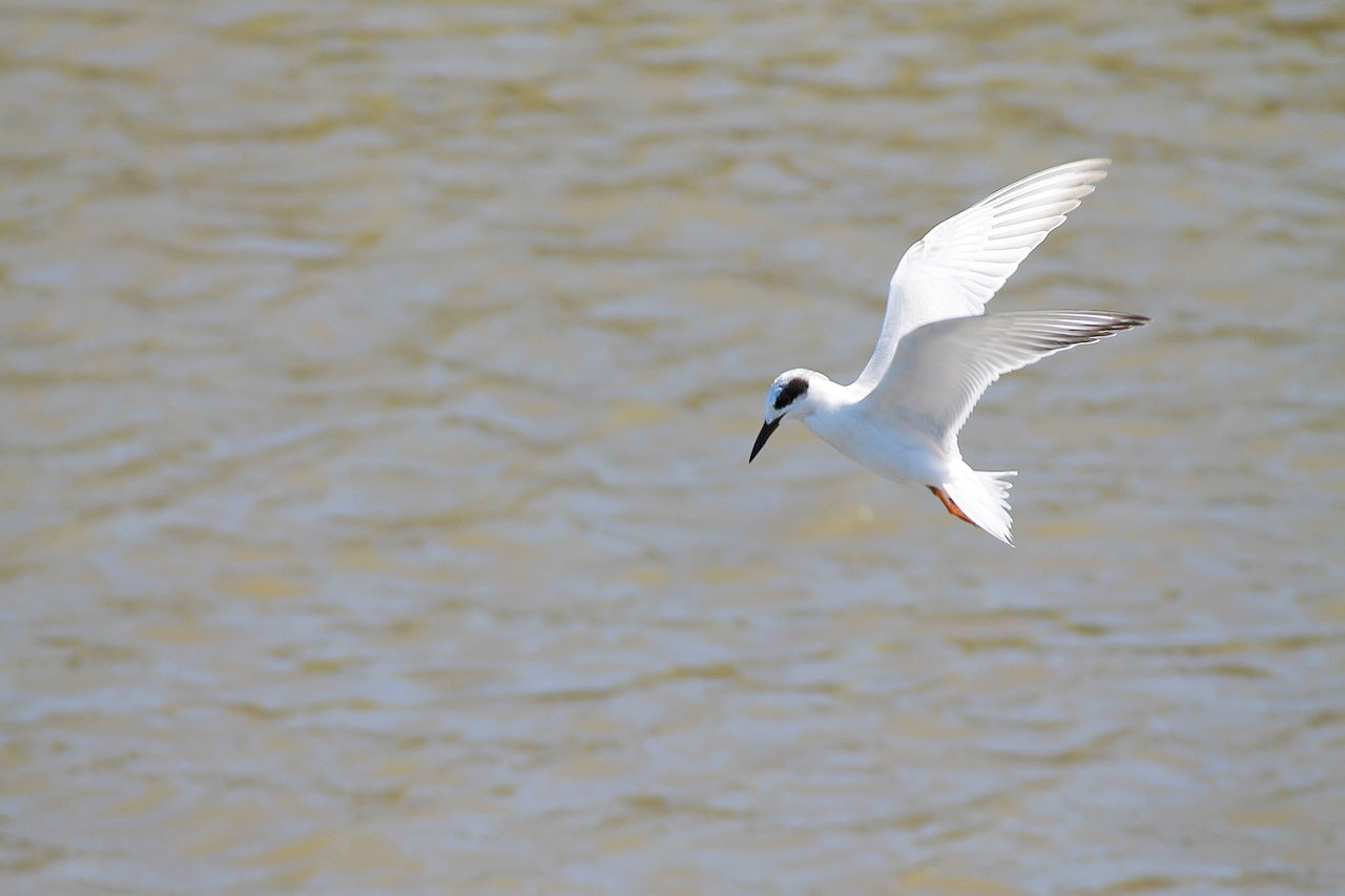
Delaware possesses a rich variety of birdlife, lying as it does in the path of the annual migrations. Snow geese migrate through Delaware in early fall, stopping in the state's wetlands. Other wetland birds include grebes, loons, petrels, gannets, scoters, herons, egrets, knots, sandpipers, plovers, turnstones, and oyster-catchers.
What is the climate of Delaware like?
Delaware has a mild and temperate climate. Average temperatures range from 36°F (2°C) in January to 78°F (26°C) in July. Rainfall is quite high; and about 10 in (25 cm) of snow falls each winter.
| Climate data for Dover (1991−2020) | |||||||||||||
|---|---|---|---|---|---|---|---|---|---|---|---|---|---|
| Month | Jan | Feb | Mar | Apr | May | Jun | Jul | Aug | Sep | Oct | Nov | Dec | Year |
| Average high °F (°C) | 44.4 (6.9) | 47.4 (8.6) | 54.5 (12.5) | 66.0 (18.9) | 74.4 (23.6) | 82.7 (28.2) | 86.9 (30.5) | 85.1 (29.5) | 79.2 (26.2) | 68.9 (20.5) | 58.0 (14.4) | 48.6 (9.2) | 66.3 (19.1) |
| Daily mean °F (°C) | 36.0 (2.2) | 38.2 (3.4) | 45.0 (7.2) | 55.5 (13.1) | 64.4 (18.0) | 73.2 (22.9) | 77.9 (25.5) | 76.2 (24.6) | 70.1 (21.2) | 59.2 (15.1) | 48.7 (9.3) | 40.3 (4.6) | 57.1 (13.9) |
| Average low °F (°C) | 27.6 (−2.4) | 29.0 (−1.7) | 35.4 (1.9) | 44.9 (7.2) | 54.4 (12.4) | 63.8 (17.7) | 69.0 (20.6) | 67.3 (19.6) | 61.0 (16.1) | 49.5 (9.7) | 39.3 (4.1) | 32.1 (0.1) | 47.8 (8.8) |
| Average precipitation inches (mm) | 3.43 (87) | 3.08 (78) | 4.21 (107) | 3.72 (94) | 3.89 (99) | 4.56 (116) | 4.14 (105) | 4.92 (125) | 4.25 (108) | 4.06 (103) | 3.36 (85) | 3.99 (101) | 47.61 (1,209) |
| Average snowfall inches (cm) | 4.1 (10) | 5.9 (15) | 0.6 (1.5) | 0.0 (0.0) | 0.0 (0.0) | 0.0 (0.0) | 0.0 (0.0) | 0.0 (0.0) | 0.0 (0.0) | 0.0 (0.0) | 0.0 (0.0) | 2.6 (6.6) | 13.2 (34) |
| Source: NOAA | |||||||||||||
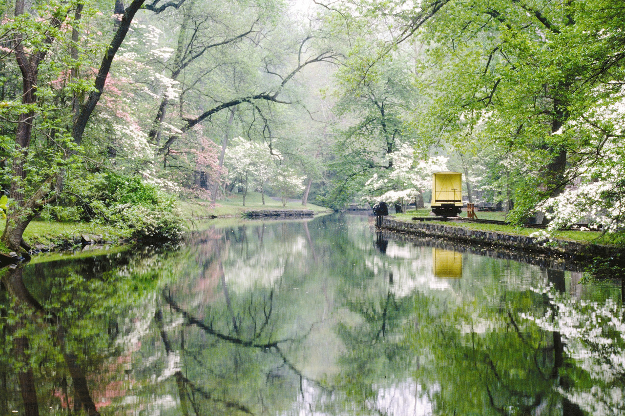
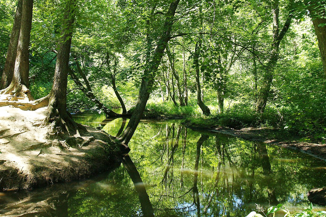
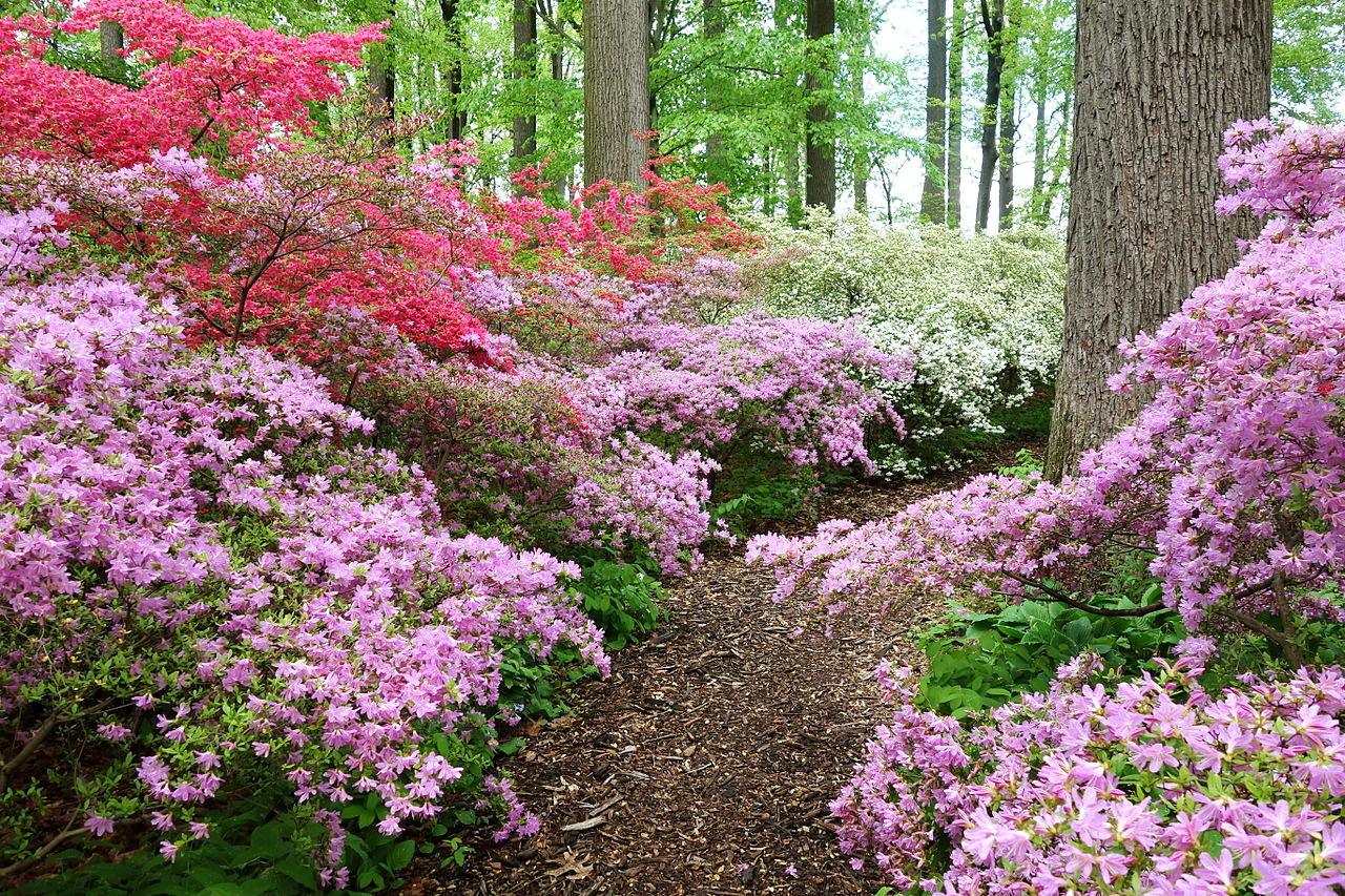 Springtime, Winterthur Museum, New Castle County
The official websites
Delaware
The First State
| Location: | Eastern seaboard of the United States |
| Coordinates: | 39° 00′ N, 75° 30′ W |
| Size: | • 155 km N-S; 50 km E-W • 95 miles N-S; 30 miles E-W |
| Terrain: | Mostly coastal plain. Rolling hills and pastures in the north; wetlands in the south; sandy beaches along the coast. |
| Climate: | Temperate and humid. Snowfall in the winter; hot summers |
| Highest point: | Ebright Azimuth 137 m / 448 ft |
| Forest: | 27% (2016) (source) |
| Population: | 973,764 (2019) |
| Population density: | Medium (179/km²) |
| Capital: | Dover |
| Languages: | English |
| Human Development Index: | Very High (0.936) |