The Geography of
Pennsylvania
Why visit Pennsylavania?
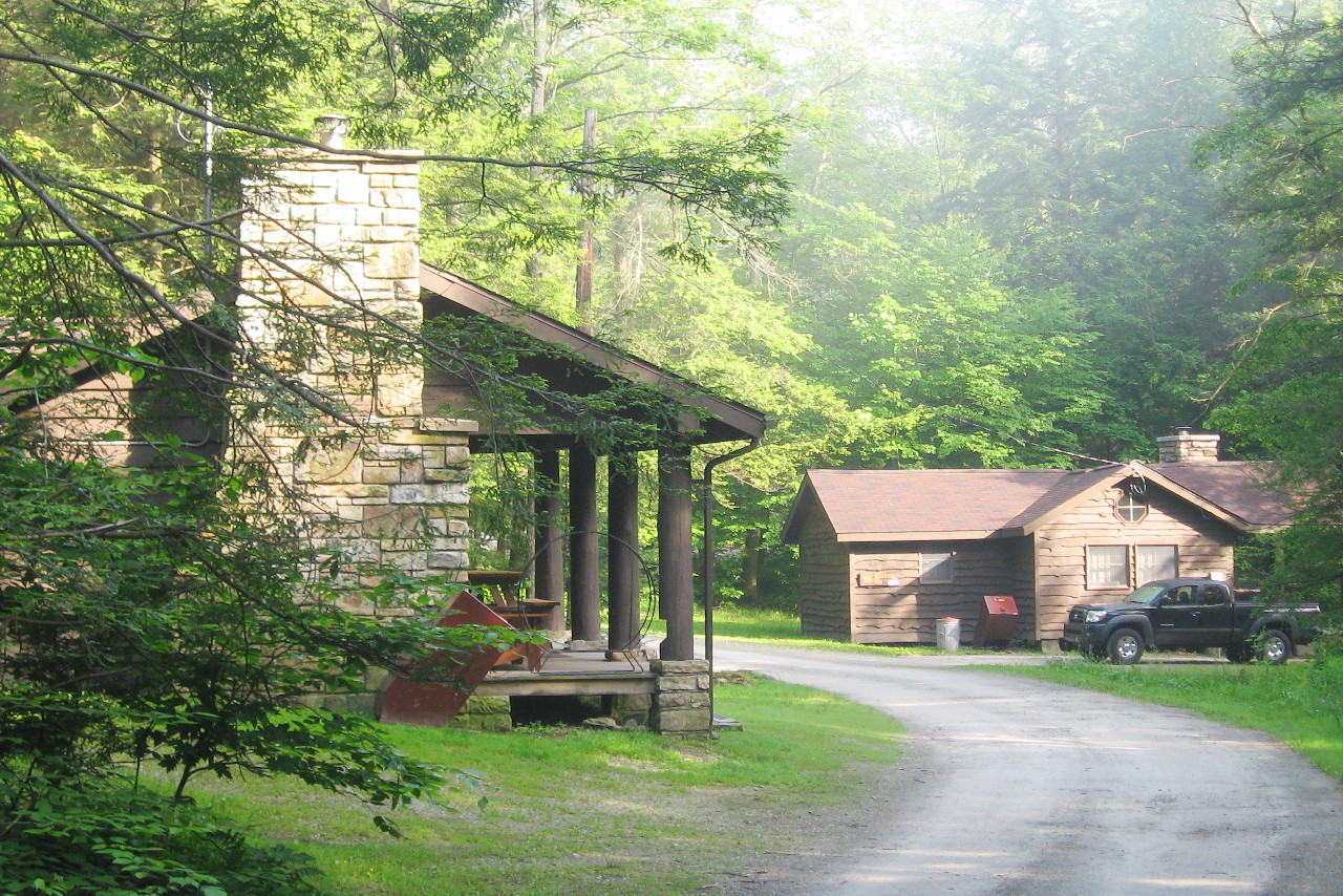
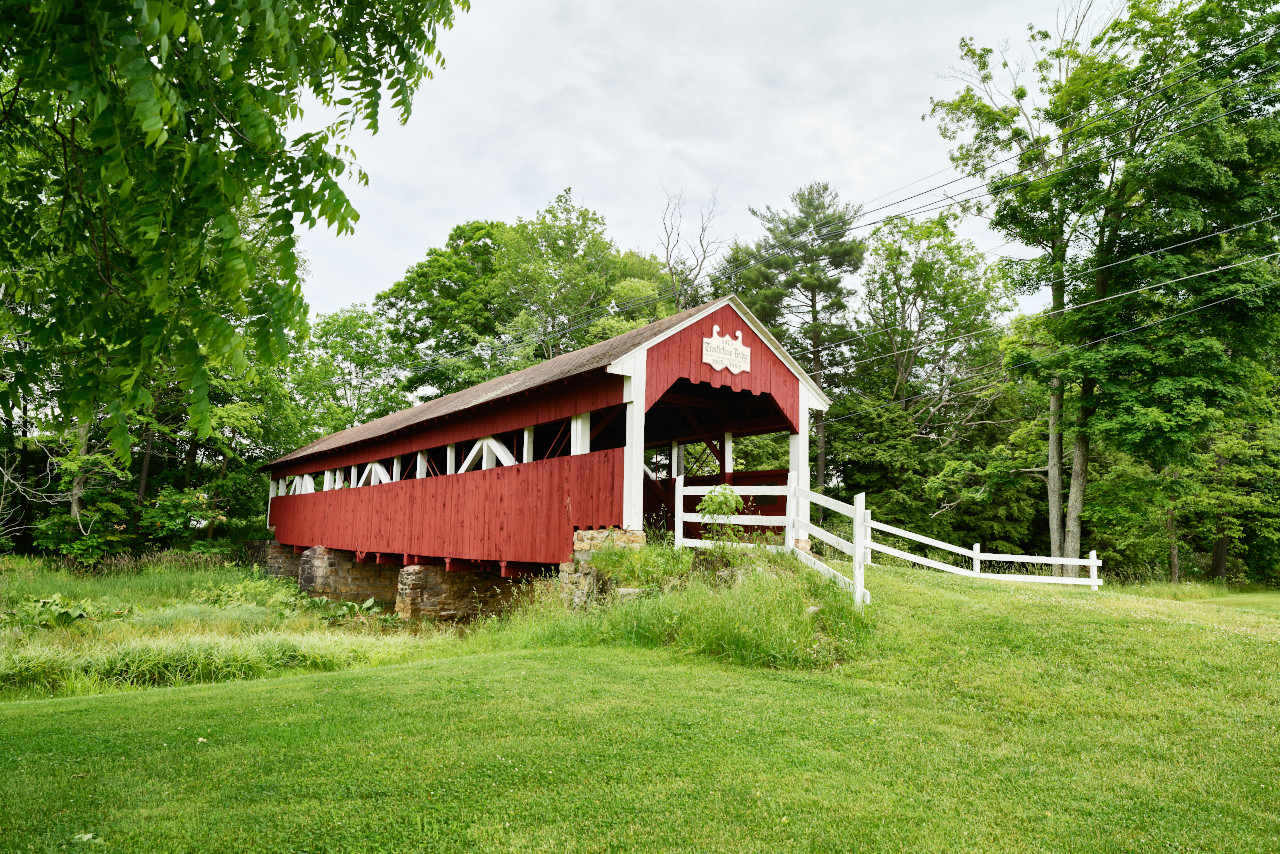
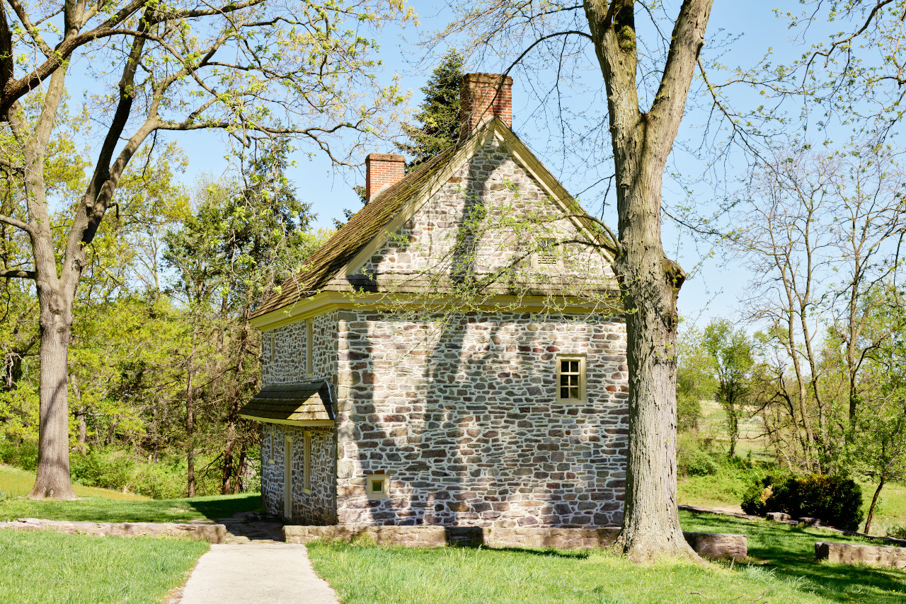
Pennsylvania's diverse landscape contains everything from small towns to picturesque rivers. From north to south the State is home to rolling hills and valleys culminating in the Allegheny Mountains in the southwest. There are many historic towns and attractions, such as Independence National Historical Park; Valley Forge National Historical Park; Gettysburg Battlefield; and Pennsylvania Dutch Country.
Contents
Map
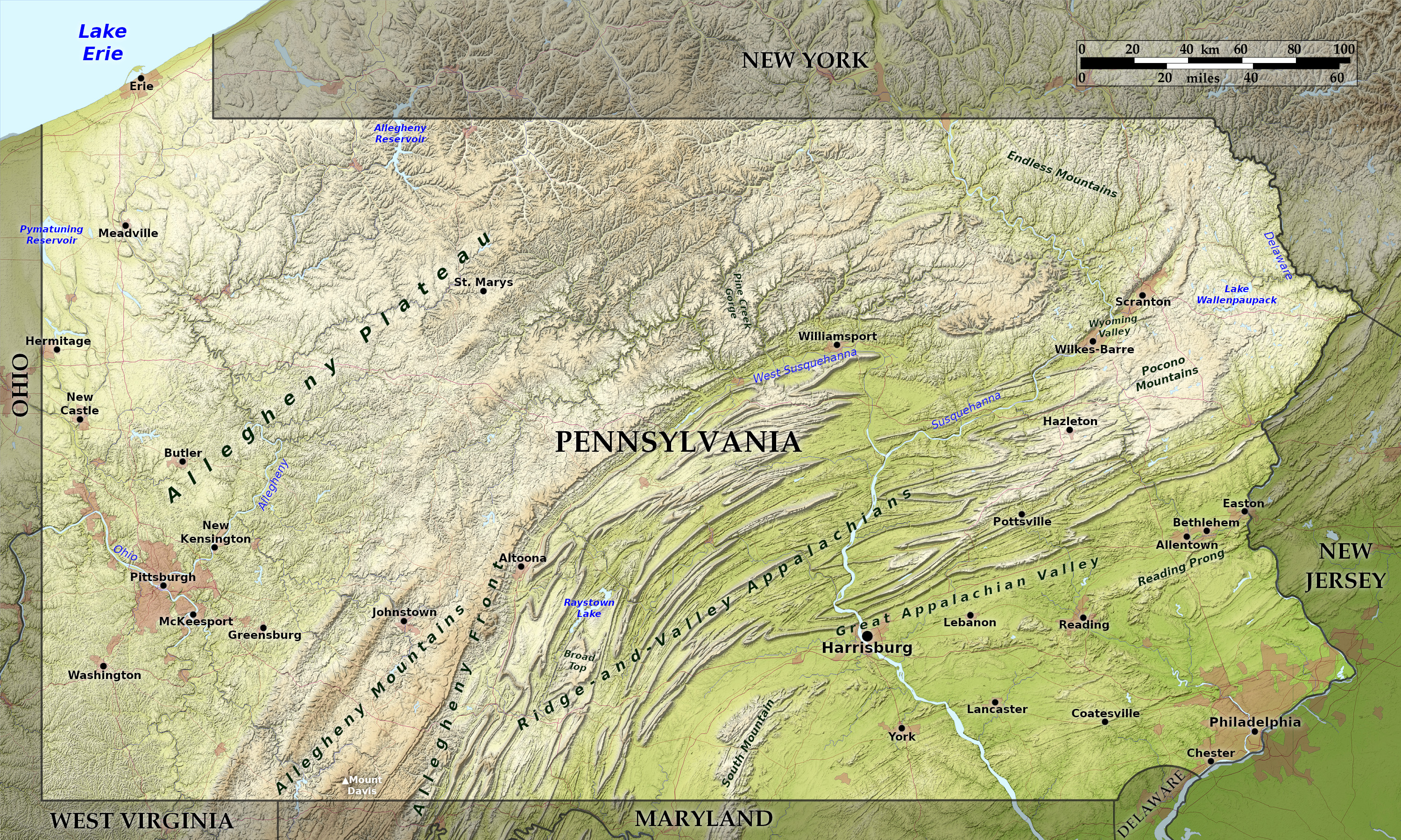 Relief map of Pennsylvania
What is the landscape of Pennsylvania like?
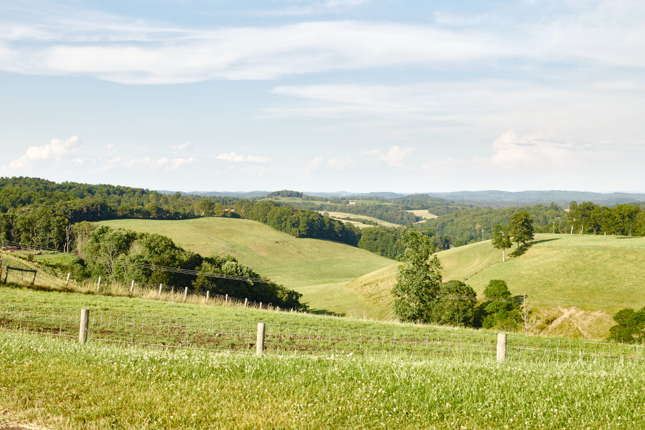
Southeast
Southeast Pennsylvania is a lowland region consisting of an undulating plain. To the north and west of this plain are chains of semi-detached and usually rounded hills extending from South Mountain in the west to the Reading Prong in the east. Then comes the Pennsylvania portion of the Appalachian or Great Valley about 10 to 20 miles in width.
Ridge and Valley Appalachians
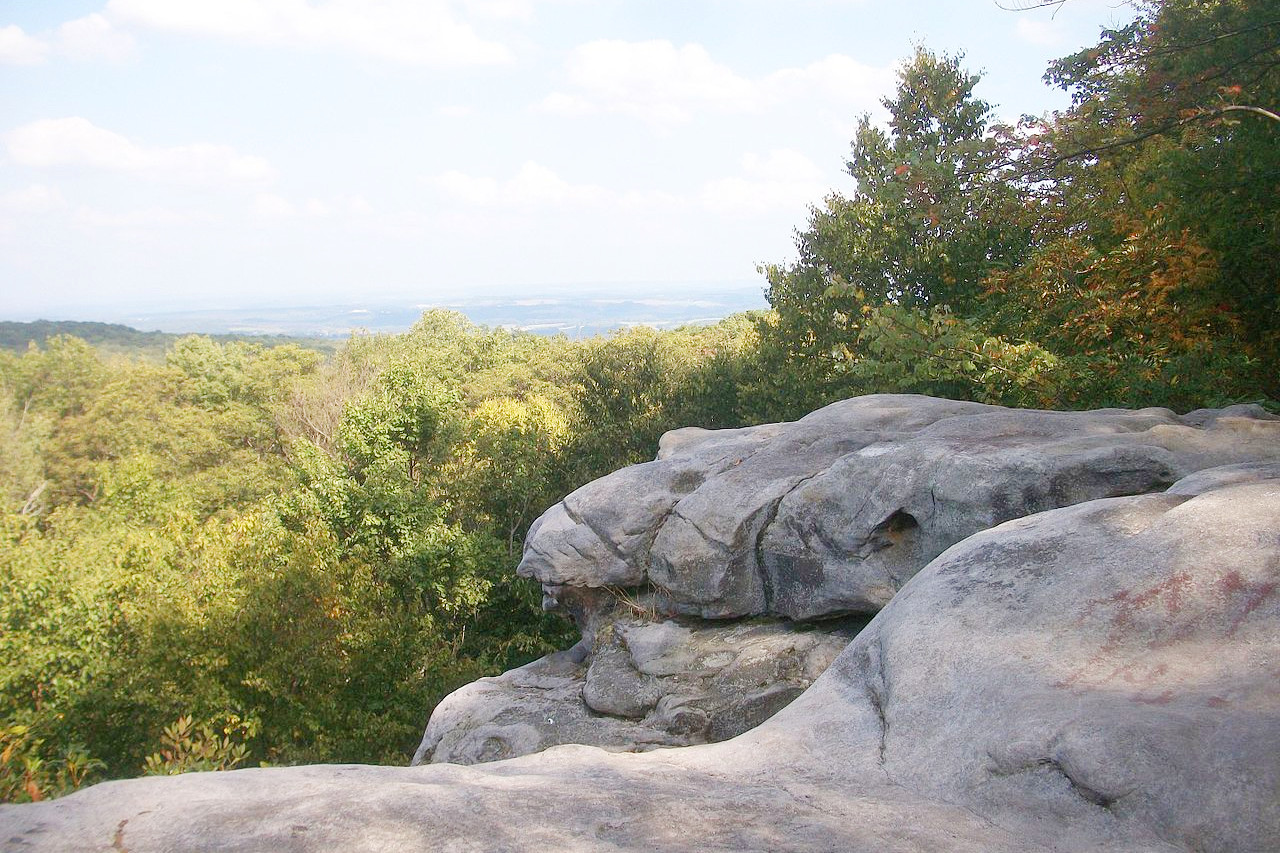
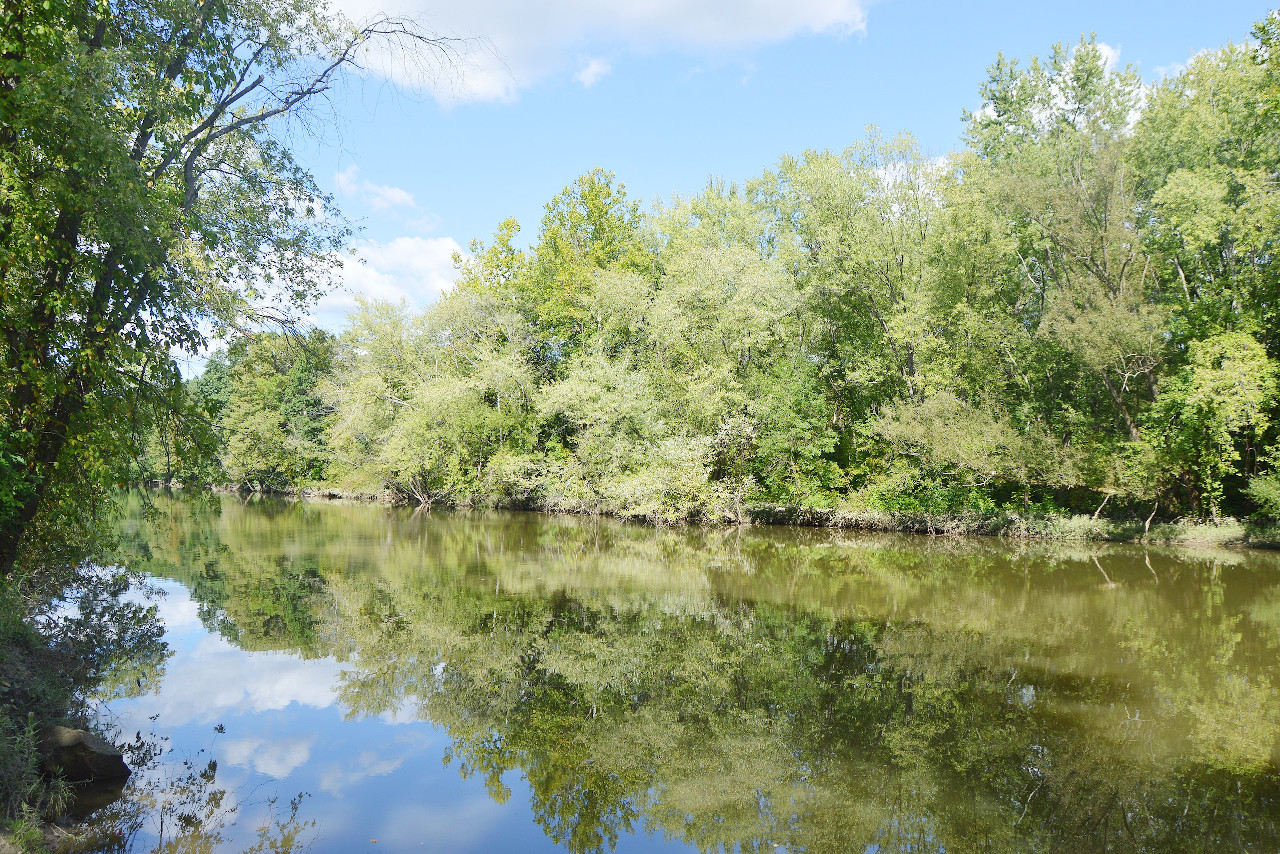
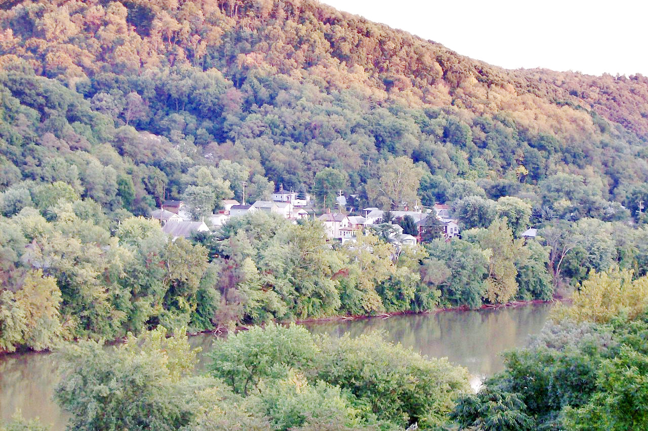
Running nearly through the middle of Pennsylvania is the Pennsylvania portion of the Appalachian ridges and valleys. It extends from southwest to northeast about 230 miles and has a nearly uniform width of 50 miles except that it narrows rapidly in the northeast. The ridges are made up of hard, erosion-resistant rock; and the valleys, which rarely exceed more than a few miles in width, are usually steep-sided. In the northeast are the Pocono Mountains. This is a continuation of the Catskill plateau southward from New York. Its surface is little broken except by shallow valleys and occasional rounded hills. The Susquehanna and the Delaware Rivers, which are wide and shallow further south, here run through gorges and water-gaps in this mountain region, and have some of the most picturesque scenery in the State.
Alleghany Plateau
The Alleghany plateau takes up much of western and northern Pennsylvania. In the northern, middle and southwest parts the upland is cut by an intricate network of narrow valleys and ravines that are commonly 300–600 feet (90–180 m) deep and occasionally 800–1,000 feet (240–300 m) deep, but elsewhere the uplands are broader and the valleys wider and shallower. In the far northwest is the shore of Lake Erie, a narrow plain. In front of the city of Erie the shore currents have formed a spit, known as Presque Isle.
What is the nature of Pennsylvania like?
Pennsylvania is very well-forested, and about sixty percent of the State is still woodland. On the highest spots the trees are mostly white pine, yellow pine and hemlock, but lower levels are covered with deciduous forests of black, white and red oak, chestnut, tulip tree, ashes, hickories and black walnut. In the lowland plains of the southeast sweet gum and willow oak are common.
What is the climate of Pennsylvania like?
Pennsylvania has a continental climate, although in the more sheltered southeast region it is rather milder. Elsewhere the valleys are subject to excessive heat in summer and severe cold in winter, although the crests of the higher ridges can be delightfully cool in summer. In general Pennsylvania is cooler towards the northwest except along Lake Erie where the mean temperature rises, and extremes shorten. July is the warmest month in all parts of the State; January or February is the coldest. In the mountains and in the vicinity of Lake Erie there is often snow during the winter months.
| Climate data for Harrisburg, Pennsylvania (1991–2020) | |||||||||||||
|---|---|---|---|---|---|---|---|---|---|---|---|---|---|
| Month | Jan | Feb | Mar | Apr | May | Jun | Jul | Aug | Sep | Oct | Nov | Dec | Year |
| Average high °F (°C) | 38.6 (3.7) | 42.0 (5.6) | 51.3 (10.7) | 63.8 (17.7) | 73.7 (23.2) | 82.4 (28.0) | 86.8 (30.4) | 84.7 (29.3) | 77.6 (25.3) | 65.7 (18.7) | 53.9 (12.2) | 43.3 (6.3) | 63.6 (17.6) |
| Daily mean °F (°C) | 30.8 (−0.7) | 33.4 (0.8) | 41.8 (5.4) | 53.2 (11.8) | 63.4 (17.4) | 72.5 (22.5) | 77.3 (25.2) | 75.2 (24.0) | 67.9 (19.9) | 55.8 (13.2) | 44.8 (7.1) | 35.8 (2.1) | 54.3 (12.4) |
| Average low °F (°C) | 23.0 (−5.0) | 24.7 (−4.1) | 32.3 (0.2) | 42.5 (5.8) | 53.1 (11.7) | 62.7 (17.1) | 67.8 (19.9) | 65.8 (18.8) | 58.2 (14.6) | 46.0 (7.8) | 35.8 (2.1) | 28.2 (−2.1) | 45.0 (7.2) |
| Average precipitation inches (mm) | 3.03 (77) | 2.59 (66) | 3.70 (94) | 3.55 (90) | 3.83 (97) | 3.98 (101) | 4.74 (120) | 3.77 (96) | 4.83 (123) | 3.81 (97) | 2.97 (75) | 3.43 (87) | 44.23 (1,123) |
| Average snowfall inches (cm) | 9.1 (23) | 9.4 (24) | 5.6 (14) | 0.4 (1.0) | 0.0 (0.0) | 0.0 (0.0) | 0.0 (0.0) | 0.0 (0.0) | 0.0 (0.0) | 0.2 (0.51) | 0.8 (2.0) | 4.4 (11) | 29.9 (76) |
| Source: NOAA | |||||||||||||
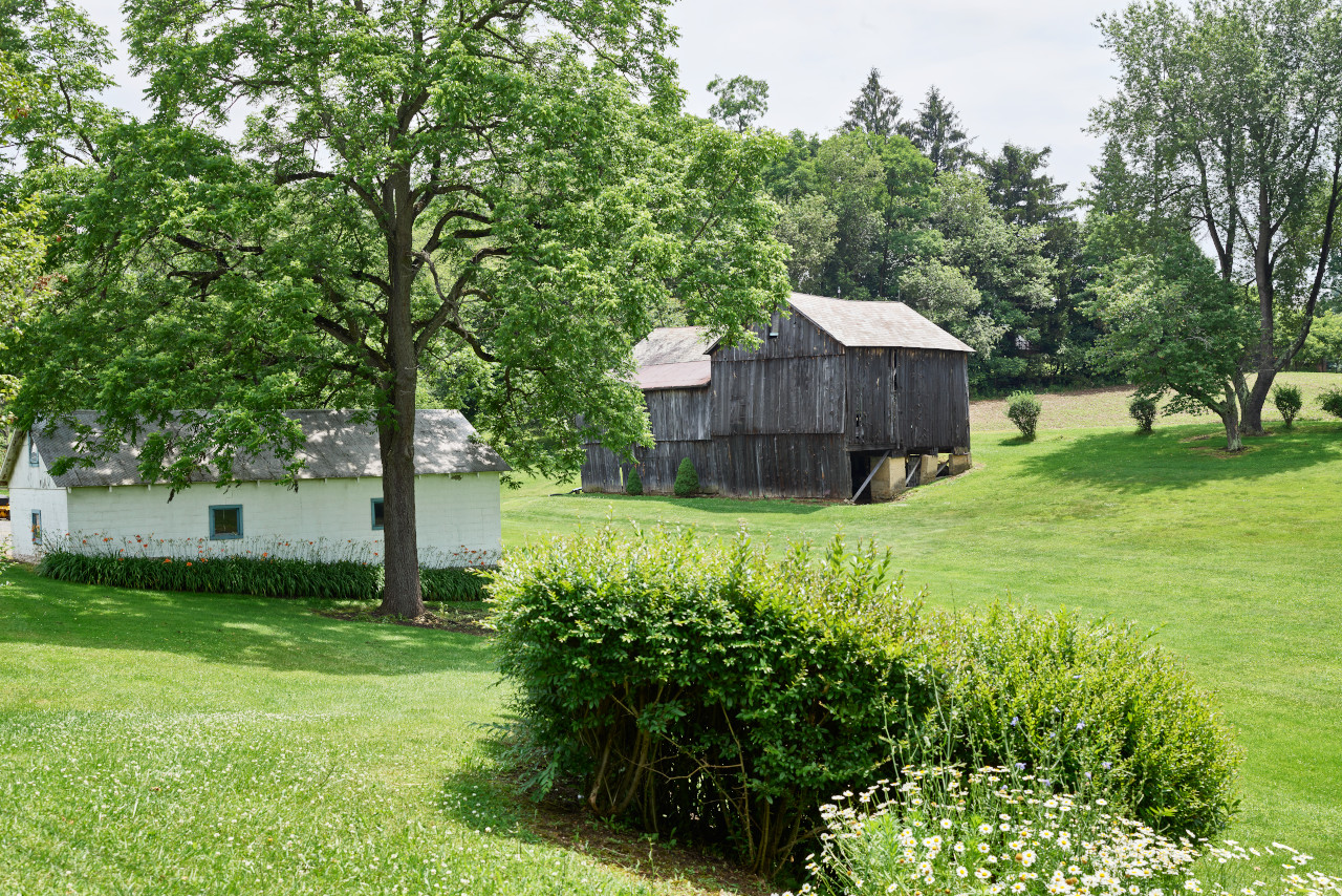 Vintage barns in Oakland Township
The official websites
Pennsylvania
The Keystone State
| Location: | Northeastern United States |
| Coordinates: | 41° 00′ N, 77° 45′ W |
| Size: | • 270 km N-S; 495 km E-W • 170 miles N-S; 305 miles E-W |
| Terrain: | Rolling hills in the southeast giving way to the parallel ridges and valleys of the Appalachian Mountains. A hilly plateau makes up the western and northern parts |
| Climate: | Continental climate. Hot summers and winter snows in the southwest and southeast. Cooler summers and winters in the hills |
| Highest point: | Mount Davis 979 m / 3,213 ft |
| Forest: | 59% (2016) (source) |
| Population: | 13,011,844 (2020) |
| Population density: | Medium (112/km²) |
| Capital: | Harrisburg |
| Languages: | English (90%); Spanish (4%) |
| Human Development Index: | Very High (0.928) |