The Geography of
South Carolina
Why visit South Carolina?
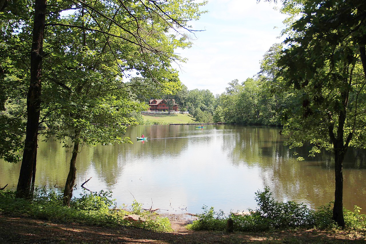
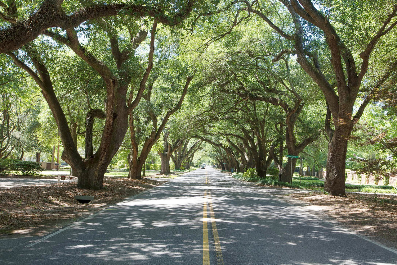
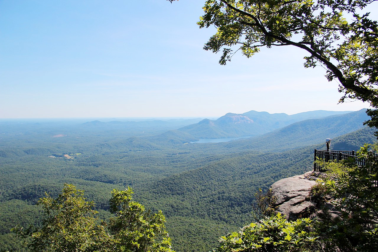
South Carolina is known for its natural beauty with many different landscapes. The coastline has crystal-clear waters and white sandy beaches. The inland areas are lush with large areas of woodland, rolling hills, and creeks running through the countryside. There are also several mountains in the state including the Blue Ridge Mountains, which offer breathtaking views of valleys and rivers from their peaks. The climate is close to subtropical in coastal areas—making it hot or mild year-round.
Contents
Map
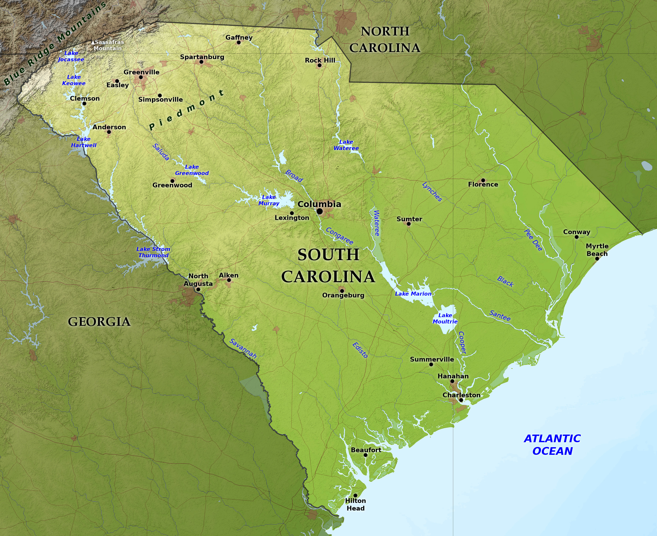 Relief map of South Carolina
What is the landscape of South Carolina like?
South Carolina divided between the Coastal Plain and the Piedmont Plateau region, but in the northwest it extends slightly into the Appalachian Mountains.
Coastal Plain
.jpg)
.jpg&oldid=567618148)
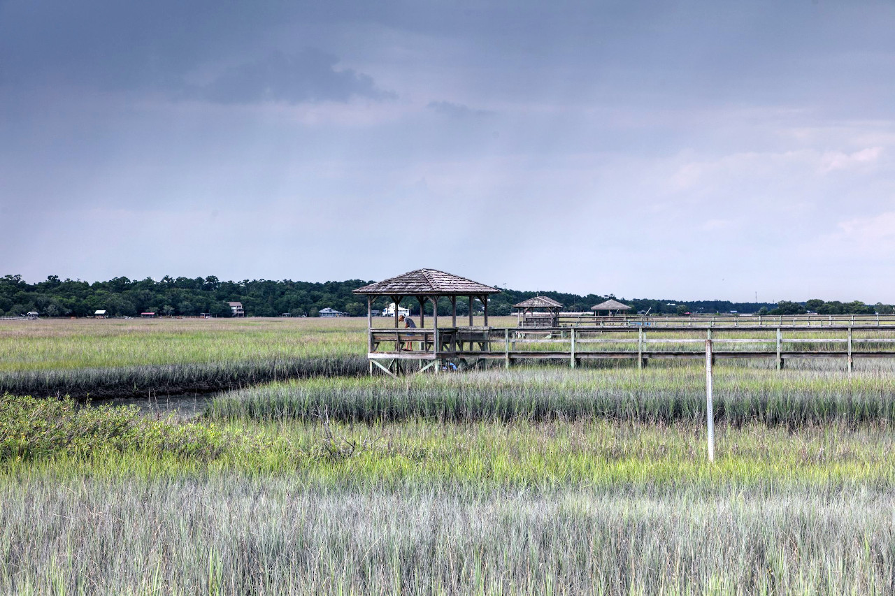
Locally the Coastal Plain region is known as the low country. The coast, about 200 miles in length, is generally low. For 60 miles southwest of the North Carolina border it is unbroken and lined with a smooth beach of light-coloured sand, but below this it becomes increasingly broken by estuaries and is lined with flat and low sea-islands that increase in size and number toward the Georgia border. For about 10 miles back from the coast the region is occupied by salt marshes. Then, although still continuing flat, the surface slowly rises and becomes increasingly broken into rolling plateaus and deep valleys.
Piedmont Plateau and Appalachian Mountains
The Piedmont Plateau and Appalachian Mountain regions are known as the up-country. The Piedmont Plateau rises gradually from a height of about 500 feet (150 m) above sea-level reaching around 1,000 feet (300 m). It is a plateau broken into undulating ridges and deeply cut valleys; the major rivers have swift currents and there are often falls or rapids. In the far northwest is the small section of the Appalachian Mountains where a few mountains of the Blue Ridge rise abruptly from the foothills. The highest point in the state is Sassafras Mountain (3,554 feet / 1,083 m) in the Blue Ridge and on the North Carolina state line.
What is the nature of South Carolina like?
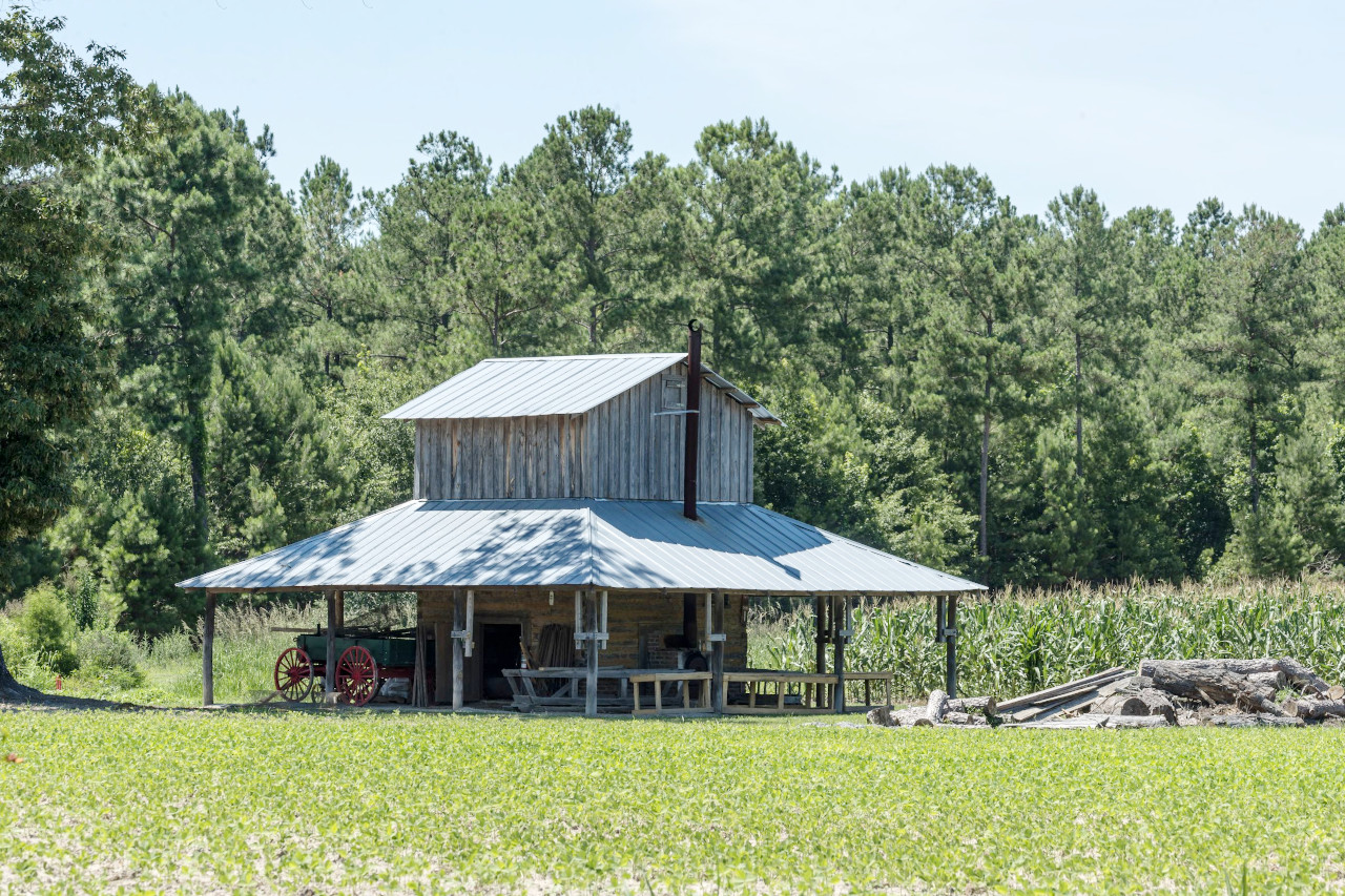
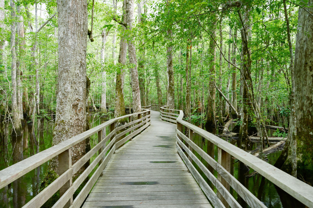
From the number of palmettoes along the coast South Carolina has become known as the Palmetto State. Scarcely less common for some distance from the ocean are the magnolias, the live oaks draped with long gray moss, and the reed covered marshes. In the swamps there are cypresses and some gum and bay trees. In most of the uplands of the Coastal Plain region the longleaf pine is dominant, but large water-oaks and undergrowths of other oaks and of hickories are not uncommon. On the Piedmont Plateau and in some of the more hilly there is some shortleaf pine, but other trees are of the hardwoods: deciduous oaks are most common, but beech, birch, ash, maple, black walnut, chestnut, sycamore and tulip trees also abound. On the mountains are the cucumber tree, laurel, white pine and hemlock. Flowering plants are exceptionally abundant; prominent among these are jessamines, azaleas, lilies, roses, violets, honey-suckle and golden-rod.
What is the climate of South Carolina like?
Along the coast the climate is comparatively mild with hot summers and mild winters. Toward the northwest the temperatures decrease a little. January is the coldest month and July the warmest. One-third of the rain falls during the summer. Winter snow is uncommon in the southeast; but in the center and northwest occasionally covers the ground. The east occasionally suffers from hurricanes.
| Climate data for Columbia, South Carolina (1991–2020) | |||||||||||||
|---|---|---|---|---|---|---|---|---|---|---|---|---|---|
| Month | Jan | Feb | Mar | Apr | May | Jun | Jul | Aug | Sep | Oct | Nov | Dec | Year |
| Average high °F (°C) | 56.8 (13.8) | 60.8 (16.0) | 68.3 (20.2) | 76.7 (24.8) | 83.8 (28.8) | 89.7 (32.1) | 92.7 (33.7) | 90.8 (32.7) | 85.7 (29.8) | 76.5 (24.7) | 66.4 (19.1) | 58.9 (14.9) | 75.6 (24.2) |
| Daily mean °F (°C) | 45.7 (7.6) | 49.1 (9.5) | 55.9 (13.3) | 64.1 (17.8) | 72.2 (22.3) | 79.1 (26.2) | 82.4 (28.0) | 81.0 (27.2) | 75.5 (24.2) | 64.6 (18.1) | 54.0 (12.2) | 47.7 (8.7) | 64.3 (17.9) |
| Average low °F (°C) | 34.6 (1.4) | 37.3 (2.9) | 43.6 (6.4) | 51.5 (10.8) | 60.5 (15.8) | 68.6 (20.3) | 72.0 (22.2) | 71.2 (21.8) | 65.3 (18.5) | 52.7 (11.5) | 41.6 (5.3) | 36.5 (2.5) | 53.0 (11.7) |
| Average precipitation inches (mm) | 3.49 (89) | 3.39 (86) | 3.57 (91) | 2.83 (72) | 3.49 (89) | 4.97 (126) | 5.35 (136) | 4.65 (118) | 3.91 (99) | 3.13 (80) | 2.76 (70) | 3.70 (94) | 45.24 (1,149) |
| Source: NOAA | |||||||||||||
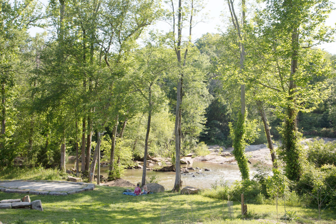 River view at the Glendale Shoals Preserve in Spartanburg
The official websites
South Carolina
The Palmetto State
| Location: | Southeastern United States |
| Coordinates: | 34° 00′ N, 81° 00′ W |
| Size: | • 340 km N-S; 440 km E-W • 210 miles N-S; 275 miles E-W |
| Terrain: | The southeast is coastal plain; the northwest is hilly uplands rising to the Blue Ridge mountains |
| Climate: | South Carolina has a humid, Subtropical climate with hot summers. Ample rainfall; winter snow in the mountains |
| Highest point: | Sassafras Mountain 1,083 m / 3,554 ft |
| Forest: | 68% (2016) (source) |
| Population: | 5,124,712 (2020) |
| Population density: | Low (61/km²) |
| Capital: | Columbia |
| Languages: | English |
| Human Development Index: | Very High (0.898) |