The Geography of
North Carolina
Why visit North Carolina?
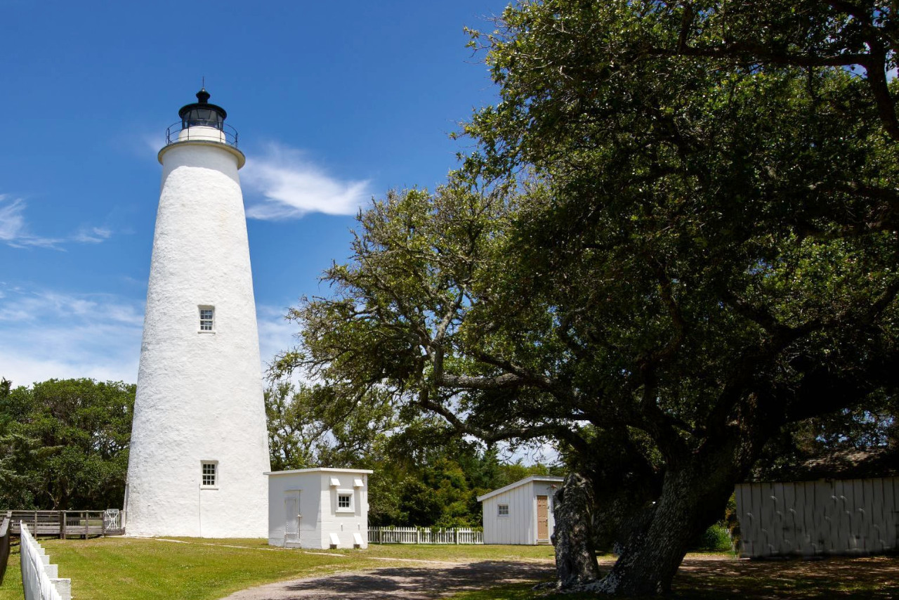
North Carolina is one of the most beautiful states in America. With its rolling hills, clean air and crystal-clear waters, it’s hard to find a single thing not to like. From the Appalachian Mountains (including Blue Ridge and Great Smoky mountains), the site of Fort Raleigh on Roanoke Island, the Wright Brothers National Memorial at Kitty Hawk, to Cape Hatteras and Cape Lookout national seashores.
Contents
Map
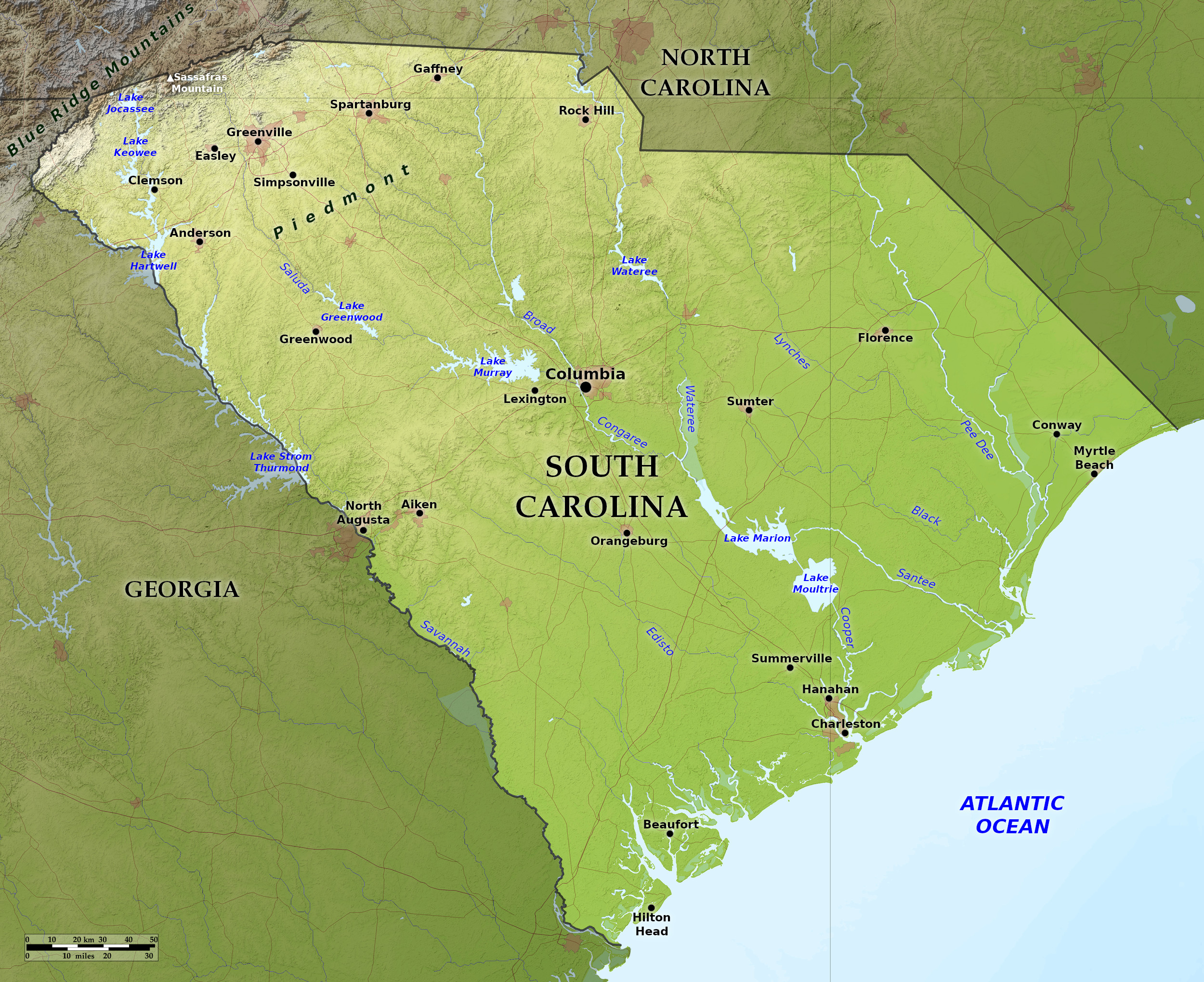 Relief map of North Carolina
What is the landscape of North Carolina like?
North Carolina is divided into the Coastal Plain Region which occupies approximately the eastern half of the State; the Piedmont Plateau Region, which occupies the middle; and the Appalachian mountains which occupy the west.
Coastal Plain and Piedmont Plateau
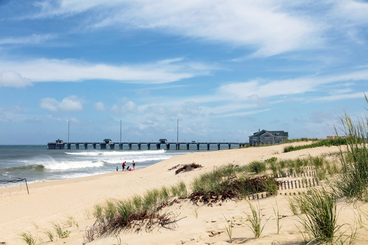
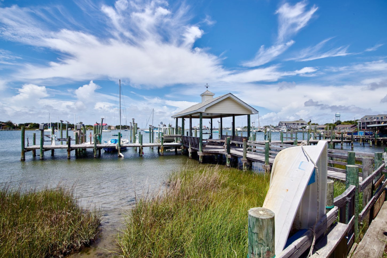
The outer coastline of North Carolina is formed by a chain of long narrow barrier beaches. To the north, deeply indented between the chain of islands, the large shallow inlets of Albemarle Sound and Pamlico Sound form a large area of almost tideless water. Projecting into these sounds and between the estuaries of rivers flowing into them are extensive tracts of swamp land.
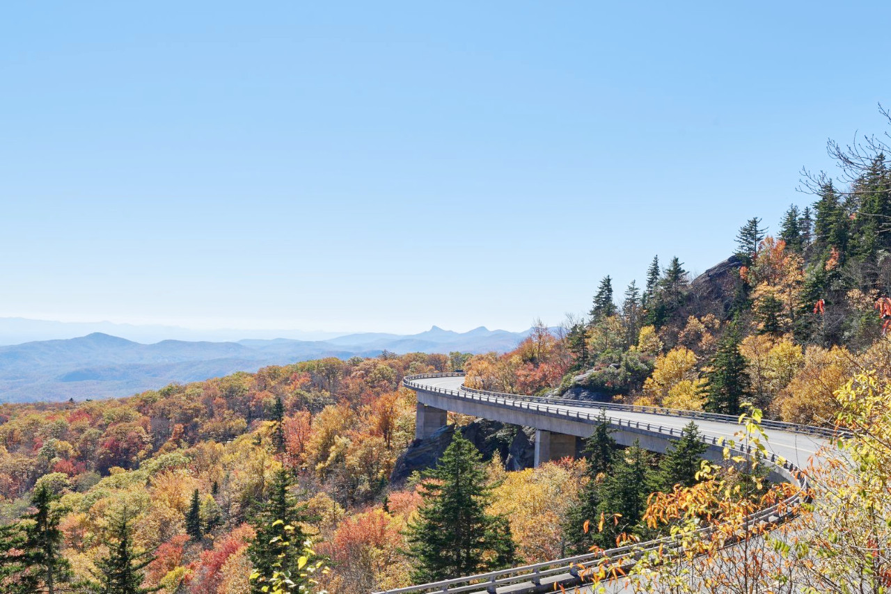
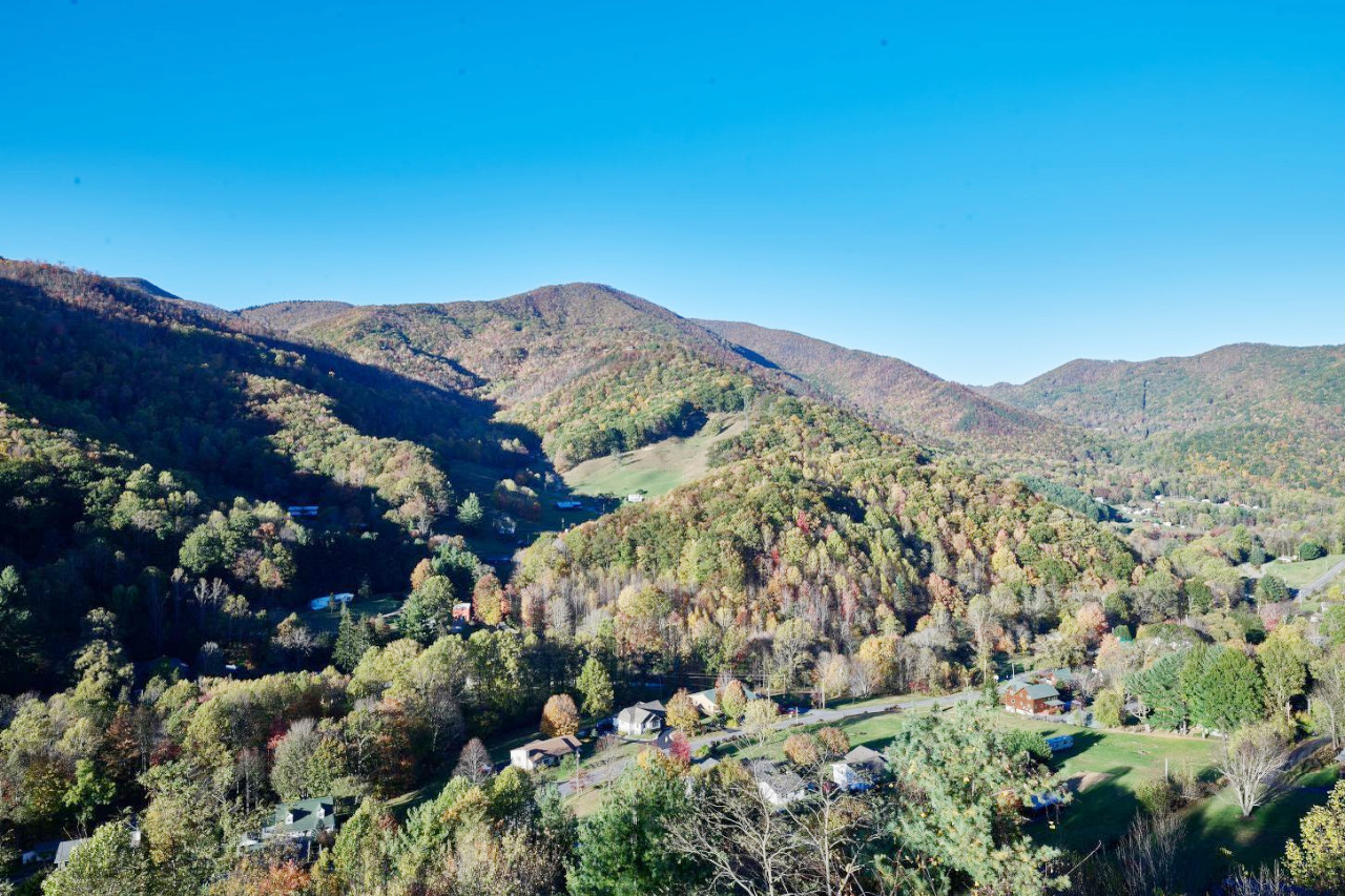
Throughout most of the Coastal Plain region, which extends inland from 80 to 150 miles, the country continues very level, only becoming slightly hilly in the west. Here we reach the Piedmont Plateau, which is traversed from northeast to southwest by a series of ridges which in the east produce only a rolling landscape but to the westward become higher and steeper until the country becomes rugged.
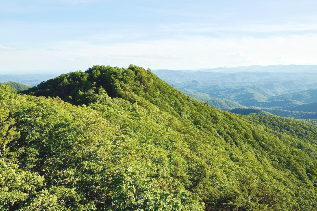
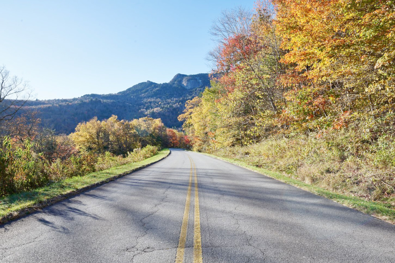
Blue Ridge Mountains
The Blue Ridge Mountains of North Carolina are part of the greater Appalachian Mountain system. The mountains here contain many sub-ranges including the Unaka, Black, Great Balsam, and Great Smoky Mountains. These ranges constitute the greatest masses of mountains in the eastern half of the United States, and about thirty peaks exceed 6,000 feet (1,800 m), the highest being Mount Mitchell in the Black Mountains. As a rule the mountain slopes are rounded and subdued, but a few are steep, rugged and rocky. In the mountains, and in the Piedmont Plateau, the rivers have numerous waterfalls and rapids and the rivers have carved deep narrow gorges that are much admired for their scenery.
What is the nature of North Carolina like?
North Carolina is one of the most varied states east of the Rockies: there are many species common to sub-tropical regions and many common to temperate regions. In the lowland marshes are the bald cypress, the white cedar and the live oak, usually draped in southern long moss; south of Cape Fear River are palmettos, magnolias, prickly ash, the American olive and mock orange; along streams in the Coastal Plain are the sour gum, the sweet bay and several species of oak. Predominant throughout the upland portion of this region is the long-leaf pine.
In the Piedmont Plateau region oaks, hickories and elms are common, whereas in the Mountain Region at the bases of the mountains are oaks, hickories, chestnuts and white poplars: above these are hemlocks, beeches, birches, elms, ashes, maples and limes; and still higher up are spruce, white pine and balsam. Nearly all of the species of pine, magnolia, oak, hickory, spruce, indigenous to the United States, are found in North Carolina. On the dome-like tops of such mountains as are too high for trees are large clusters of rhododendrons and patches of grasses fringed with flowers. The forests throughout most of the State have a luxuriant undergrowth consisting of a great variety of shrubs, flowering plants, grasses, ferns and mosses, and the display of magnolias, azaleas, kalmias, golden rod, asters, Jessamine's, smilax, ferns and mosses is often one of unusual beauty.
What is the climate of North Carolina like?
North Carolina has a climate which varies from that of the southeast corner, which approaches the subtropical, to that of the Mountain Region, which is continental, except that the summers are cooler and the rainfall is greater. On the eastern slope of some of the mountains the rainfall is exceeded nowhere in the United States, except on the northern Pacific coast. The winds are variable and seldom violent, except along the coast during the sub-tropical storms of late summer and early autumn.
| Climate data for Raleigh, North Carolina (1991–2020) | |||||||||||||
|---|---|---|---|---|---|---|---|---|---|---|---|---|---|
| Month | Jan | Feb | Mar | Apr | May | Jun | Jul | Aug | Sep | Oct | Nov | Dec | Year |
| Average high °F (°C) | 51.9 (11.1) | 55.8 (13.2) | 63.3 (17.4) | 72.7 (22.6) | 80.0 (26.7) | 87.4 (30.8) | 90.8 (32.7) | 88.7 (31.5) | 82.5 (28.1) | 73.0 (22.8) | 63.0 (17.2) | 54.7 (12.6) | 72.0 (22.2) |
| Daily mean °F (°C) | 41.9 (5.5) | 45.0 (7.2) | 51.8 (11.0) | 60.8 (16.0) | 68.8 (20.4) | 76.7 (24.8) | 80.5 (26.9) | 78.8 (26.0) | 72.6 (22.6) | 61.7 (16.5) | 51.5 (10.8) | 44.6 (7.0) | 61.2 (16.2) |
| Average low °F (°C) | 31.8 (−0.1) | 34.2 (1.2) | 40.3 (4.6) | 48.9 (9.4) | 57.7 (14.3) | 66.0 (18.9) | 70.2 (21.2) | 68.9 (20.5) | 62.7 (17.1) | 50.3 (10.2) | 40.0 (4.4) | 34.4 (1.3) | 50.4 (10.2) |
| Average precipitation inches (mm) | 3.43 (87) | 2.78 (71) | 4.10 (104) | 3.53 (90) | 3.58 (91) | 3.89 (99) | 5.02 (128) | 4.71 (120) | 5.15 (131) | 3.37 (86) | 3.32 (84) | 3.39 (86) | 46.07 (1,170) |
| Average snowfall inches (cm) | 2.6 (6.6) | 1.4 (3.6) | 0.3 (0.76) | 0.0 (0.0) | 0.0 (0.0) | 0.0 (0.0) | 0.0 (0.0) | 0.0 (0.0) | 0.0 (0.0) | 0.0 (0.0) | 0.1 (0.25) | 0.8 (2.0) | 5.2 (13) |
| Source: NOAA | |||||||||||||
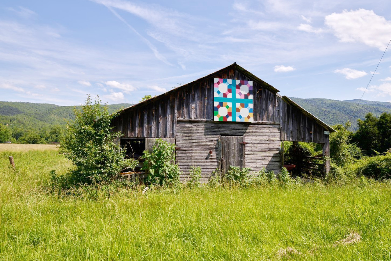 Old "quilt barn" near Marion in McDowell County
The official websites
North Carolina
The Tar Heel State
| Location: | Southeastern United States |
| Coordinates: | 35° 30′ N, 79° 30′ W |
| Size: | • 300 km N-S; 810 km E-W • 185 miles N-S; 505 miles E-W |
| Terrain: | Coastal plain rising to a rolling plateau. Mountains in the west |
| Climate: | Humid and subtropical. Summers are hot and sultry; winters are short. |
| Highest point: | Mount Mitchell 2,037 m / 6,684 ft |
| Forest: | 60% (2016) (source) |
| Population: | 10,488,084 (2019) |
| Population density: | Medium (81/km²) |
| Capital: | Raleigh |
| Languages: | English (91%), Spanish (7%) |
| Human Development Index: | Very High (0.912) |