The Geography of
Texas
Why visit Texas?
Texas is known for its vast open spaces and its deserts. But there are so many other landscapes, ranging from the lush pine forests of the East to the desert canyons of the West. Then there are the arid Staked Plains of the north, and the Gulf Coast resorts of the south, all reached via the vast prairies stretching across the heartland. Big Bend and Guadalupe Mountains national parks too! There is always something new and exciting in this great state.
Contents
Map
 Relief map of Texas
What is the landscape of Texas like?
Throughout the state there is a beautiful transition from the eastern coniferous forest to the desert conditions of the Trans-Pecos, and a similar transition from the low marshes of the gulf coast to the high plains of the Panhandle.
Coastal Plain
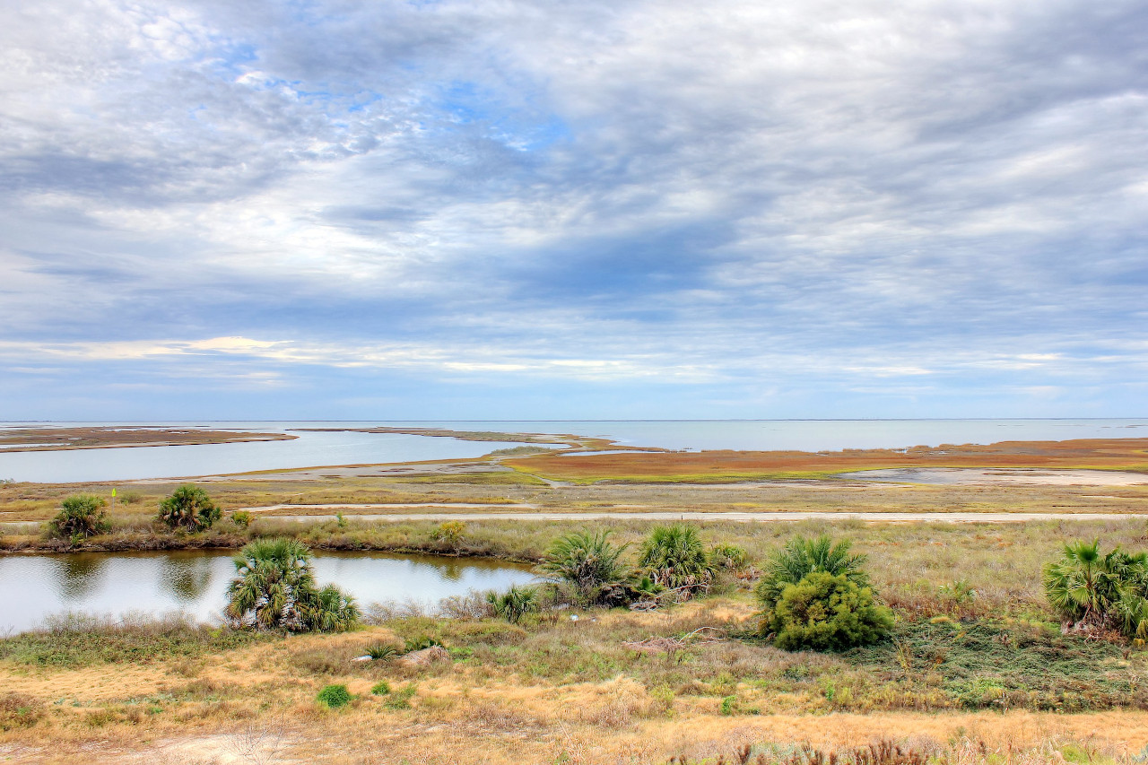
The Coastal Plain is a continuation of the same landscape of the other Gulf States. It runs along the entire length of the Gulf of Mexico for about 400 miles. It extends inland for around 150 miles, and is very flat near the coast becoming somewhat hilly inland. The coast itself is somewhat treeless, instead the vegetation is composed of grassy moisture-loving plants.
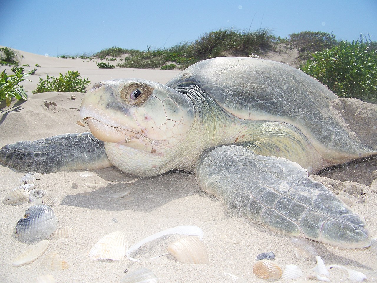
The coast is lined almost throughout its length by lagoons cut off from the sea by long, narrow sand-dune islands. Padre, the longest of these islands, extends northward from the mouth of the Rio Grande more than 100 miles. Here are found desert forms of insects and reptiles, as well as thousands of shore birds. Behind lies the largest and southernmost of the lagoons—the Laguna Madre—whose water is very salty. The northern lagoons generally extend some distance inland in large, irregular bays and estuaries. The principal bays are those of Galveston, Matagorda, San Antonio, and Corpus Christi. The entrance to all these is much obstructed by sand bars at the inlets.
East
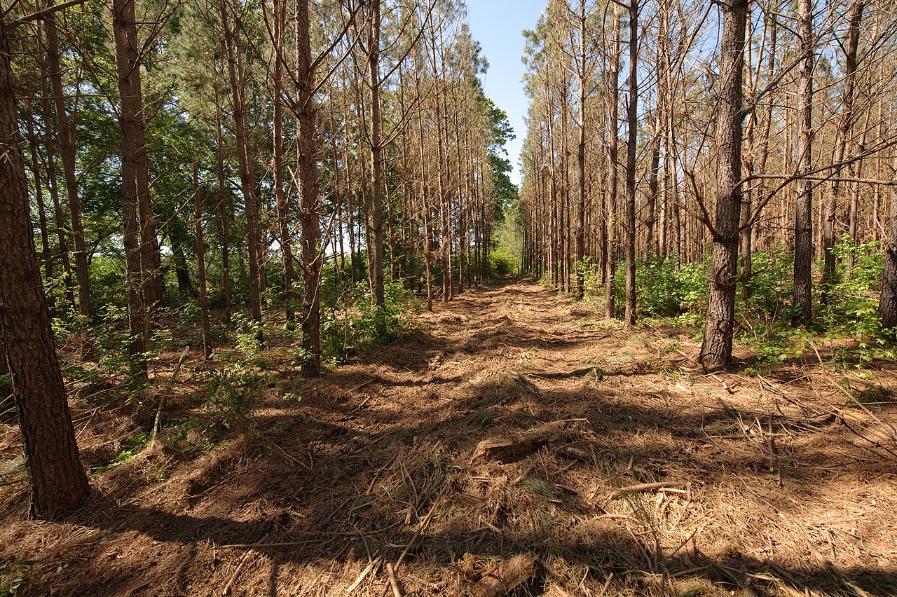
Eastern Texas is the great forested region of the state. The eastern strip, known as Piney Woods, is the western limit of a great band of coniferous forest that extends westward into Texas. It is a region of rolling, sandy hills, with the greatest rainfall in the state. The characteristic tree is the long-leaved pine (Pinus palustris) which in many places gives way to the shortleaf pine (Pinus echinata).
Further west the landscape becomes a mixture of prairie farmland and oak savannah. The most notable belt of prairie here is a belt of rolling country known as the Blackland prairie, around 100 miles wide, running from north to south, and one of the great cotton producing areas. The oak grove savanna is a southern arm of a more extensive northern area, which reaches southward into Texas from the Red River region. The trees are a mixture of live oaks and post oaks. The western limit of this region is a long tract around 30 miles in width called the Cross Timbers, which reaches down from the north to the center of Texas.
Central Plains
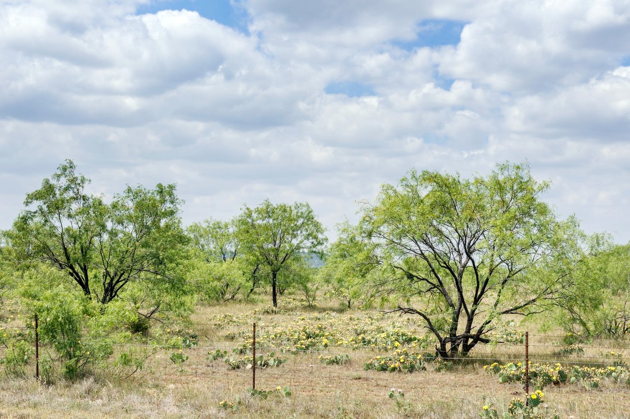
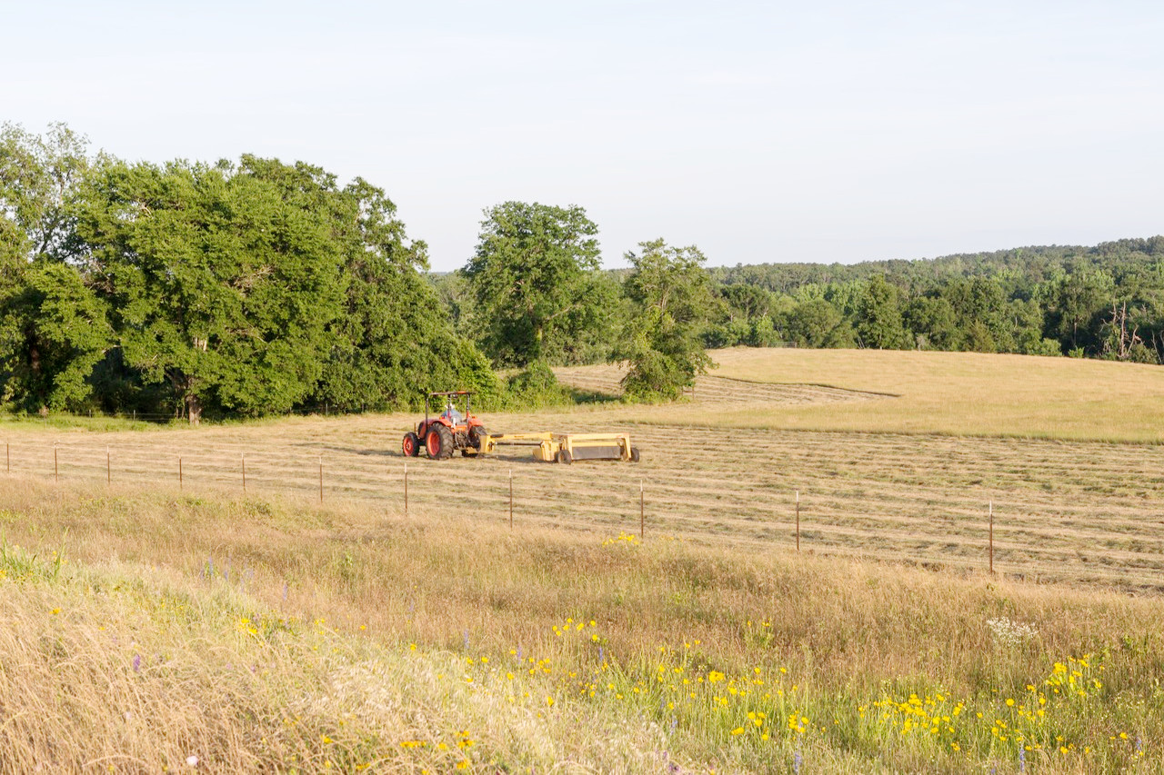
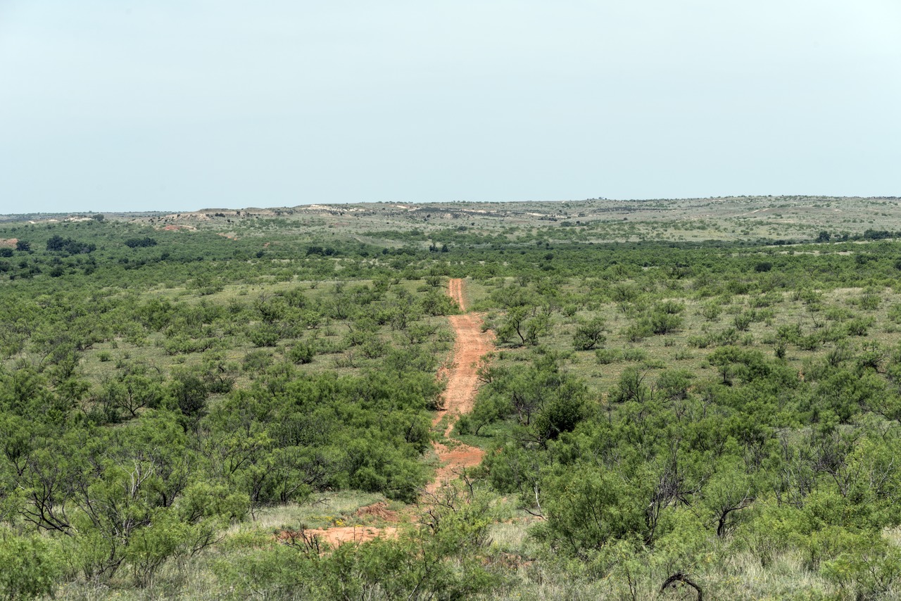
Central Texas is prairie, the great grazing range of the state. This is a region of grassland referred to locally as the "cattle country". It rises abruptly from from the Coastal Plain at a height of 600 feet (180 m) in the east to 3,000 feet (900 m) in the west. It is a hilly region, with ridges, green valleys, isolated tablelands, irregular depressions, and picturesque canyons. The southern portion is known as Texas Hill Country is quite rugged, and from here it rises up to the Great Plains province known as the Edwards Plateau.
It is a region of perennial grassland, but there are is still a considerable amount of woodland especially along the rivers. To the east the region meets with the oak grove savanna, while to the south it merges the semi-desert of the Rio Grande. Here will be found the small shrubby trees native to the southwestern United States, known locally as "mesquite" trees. These are desert specialists with extremely long roots to seek water from very far under ground.
Western High Plains
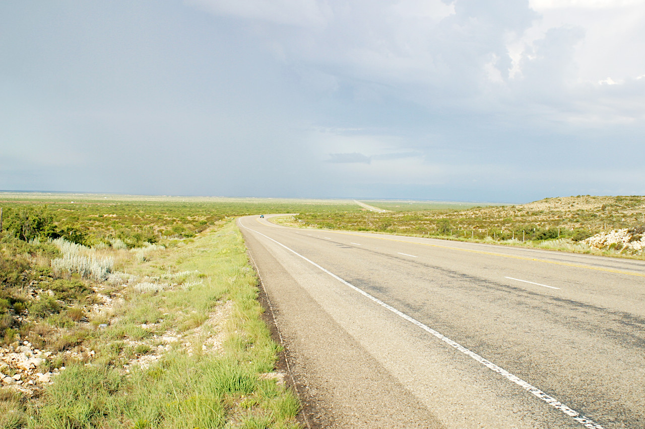
The north 'Panhandle' and West of Texas is a southern continuation of the Great Plains extending from New Mexico into northwestern Texas. South of the Panhandle this forms a large, flat-topped table-land—the Llano Estacado—at an altitude of 4,000 feet (1,200 m). The Llano Estacado or Staked Plain (so named from the great abundance of yucca stems, resembling stakes) is a high, arid, open steppe that is characterized by the almost total absence of trees. The eastern margin of the Llano Estacado is an escarpment dissected by rivers, but the rest of the table land has a notably even surface rising slowly to the northwest. North of the Canadian Valley this region continues as the North Plains.
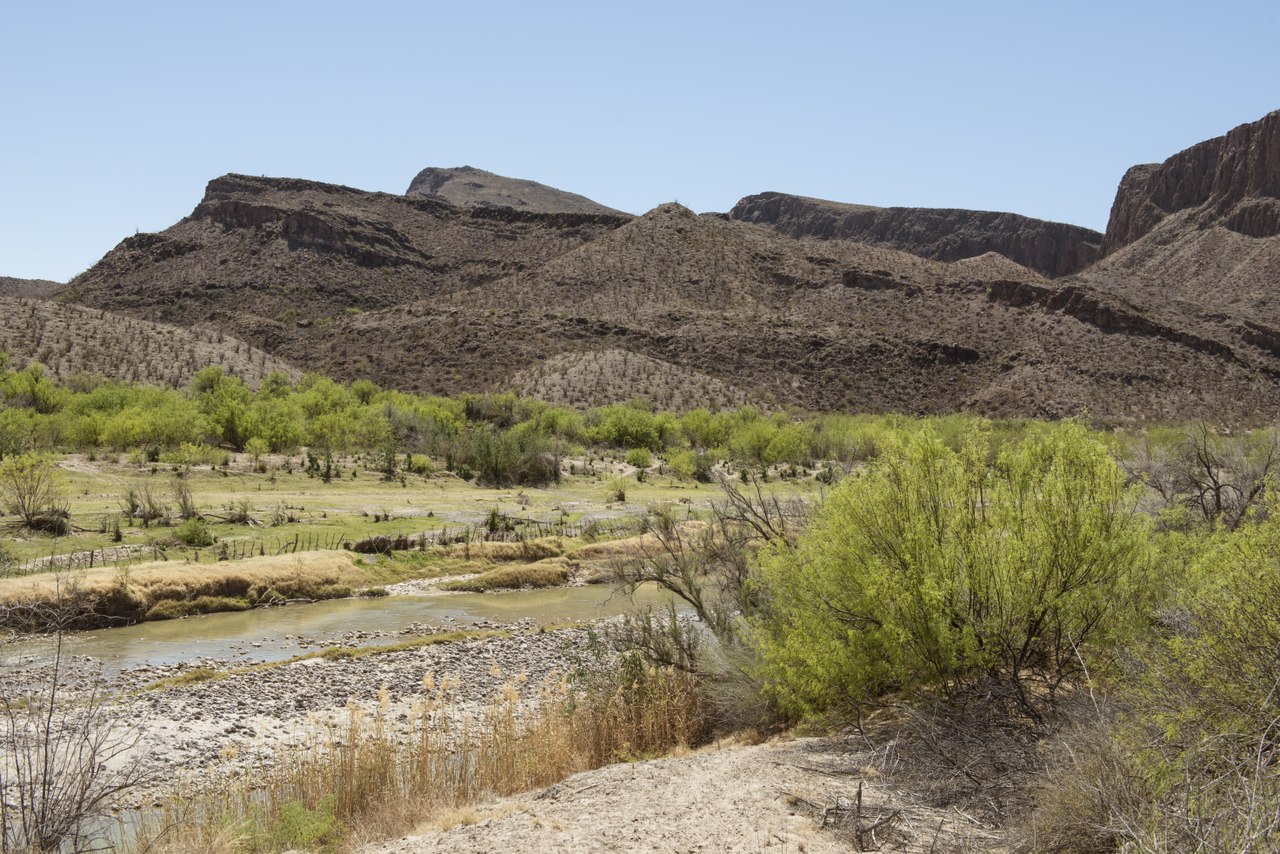
Trans-Pecos
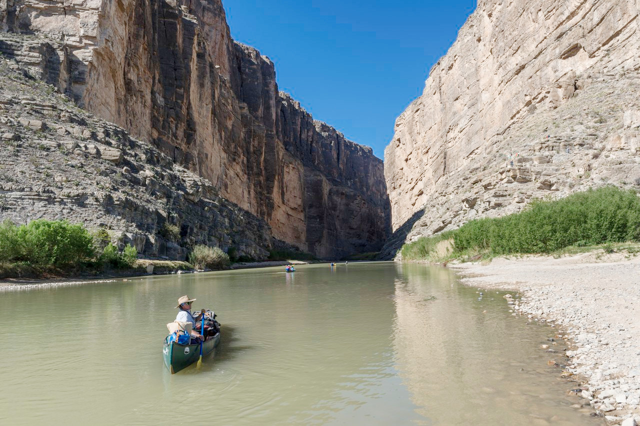
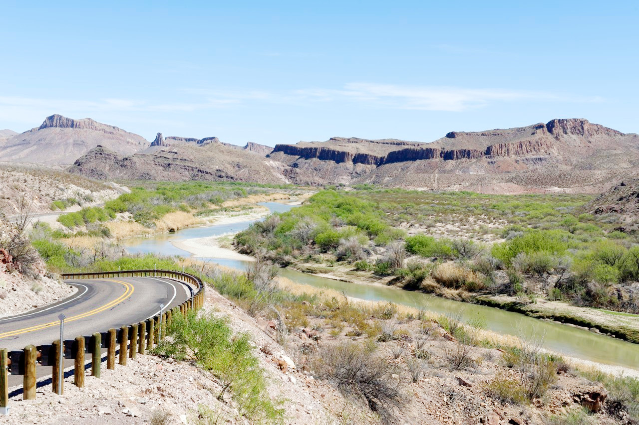
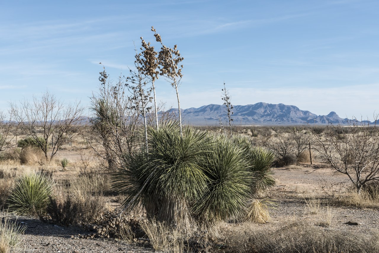
The westernmost part of Texas is the Trans-Pecos region lying beyond the Pecos River in the southwest. This is a rugged mountainous country with a number of high isolated and barren mountain ranges enclosing broad and arid valleys. This is the real desert region of Texas, a continuation of the Chihuahuan Desert of northeast Mexico. The vegetation is scanty, and occurs most thickly not in the valleys but on the arid plateau and the mountain slopes. There are grasslands to the north, where the Llano Estacado plateau reenters Texas, and there is a smaller plain known as the Stockton Plateau in the southeast corner.
The mountains in this barren but scenically attractive section of Texas, are part of the southern extension of the Rockies. The basin valleys are at an altitude of 3,500 to 5,000 feet (1,000–1,500 m), and the peaks range from 6,000 to nearly 9,000 feet (1,800–2,700 m). The highest point in Texas is Guadalupe Peak, with an elevation of 8,751 feet (2,667 meters) above sea level
South
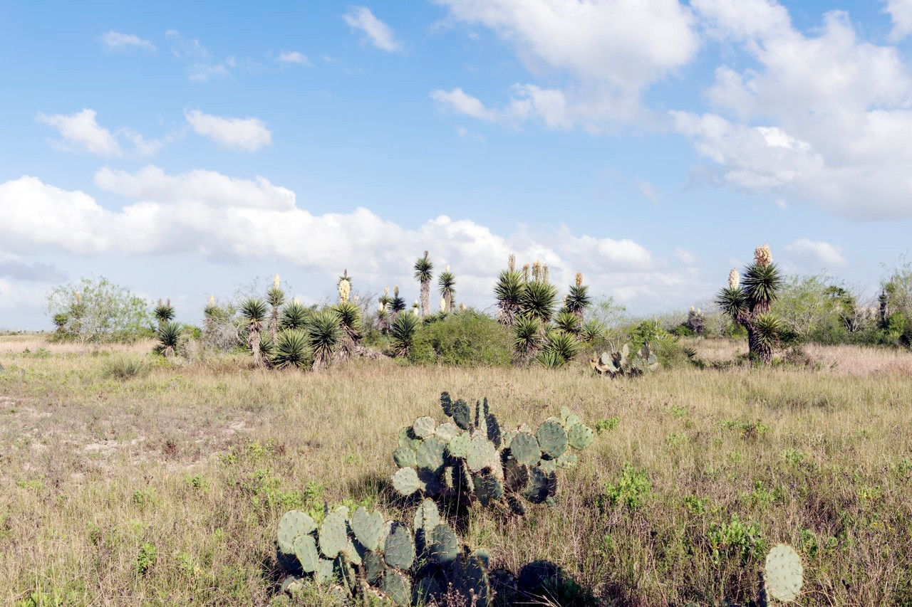
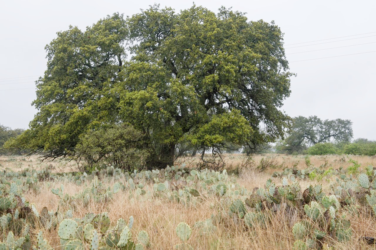
Southern Texas extends from the coast to the broad valley of the Rio Grande. It is a low region reaching its highest elevation at about 1,000 feet (300 m). The rainfall is light, and the terrain can best be described as semi-desert. There are still some grasslands with mesquite trees but much of the region is characterised by cacti of the 'prickly pear' (Opuntia) type.
What is the nature of Texas like?
In the east, Texas is dominated by coniferous forest which in the uplands of the Coastal Plain means the longleaf pine; further inland, and especially in the northeast corner of the state, the shortleaf pine tends to dominate. In many places such woodlands have been replaced by post oak forest, and forests of evergreen oaks tend to dominate as you travel westwards. In many places there are thickets of hawthorn, holly, privet, plane trees and magnolias. Other common trees include hickory, oak (white, post, bur, red), bay, tupelo, haw, holly, ash, hornbeam, and many others.
Central Texas is a region of oak grove savanna which forms a transition between the pine forests in the east and the grasslands to the west. The dominant trees are the post oak, blackjack oak, with a scattering of white oak and black oak. Other trees include pecan, cypress, and cottonwood. To the west, past the Cross Timbers region, the forests thin out and grasslands begin to dominate. There is low growth of the shrubby mesquite trees and similar shrubs as one enters the prairie plains.
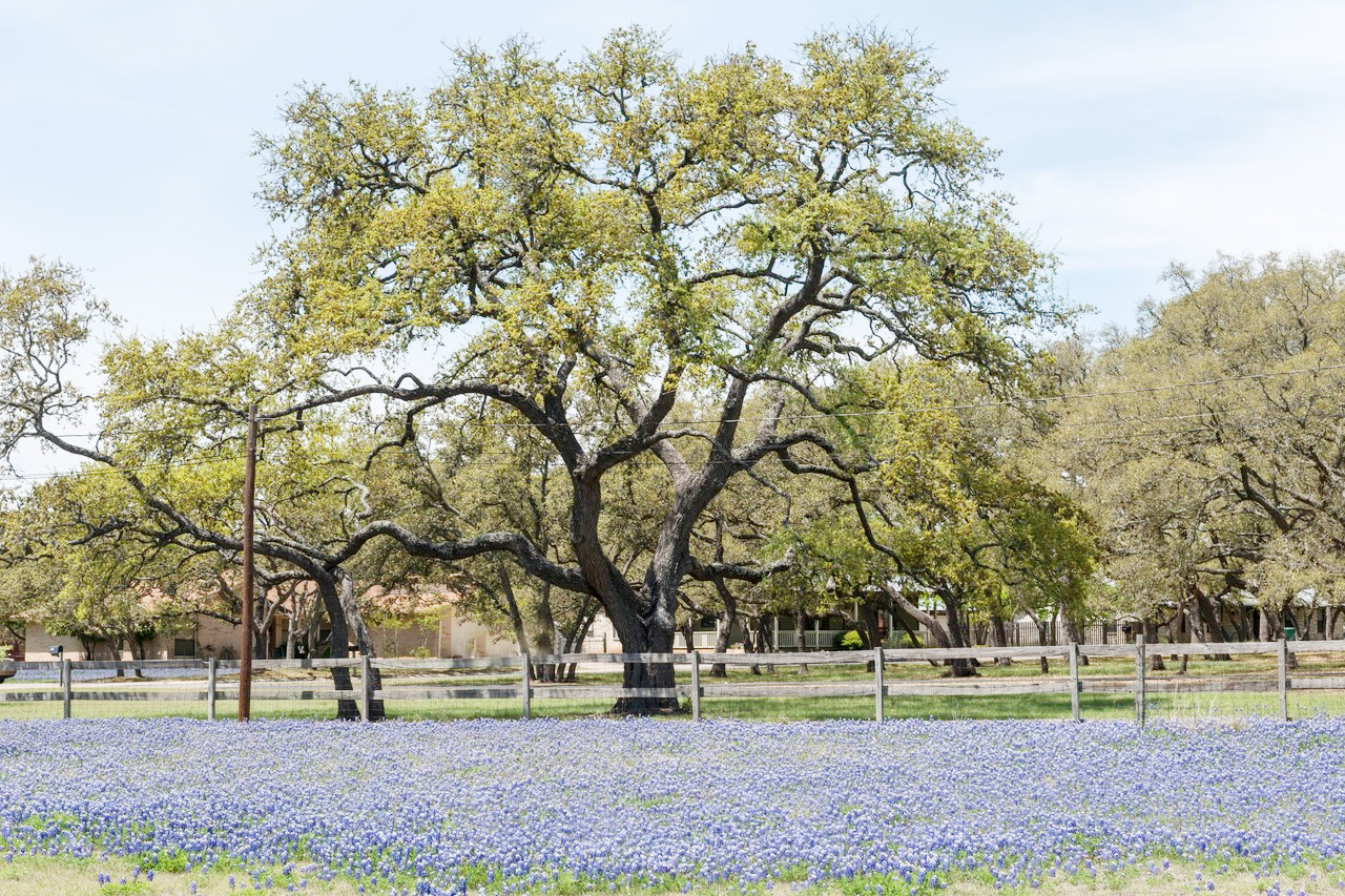
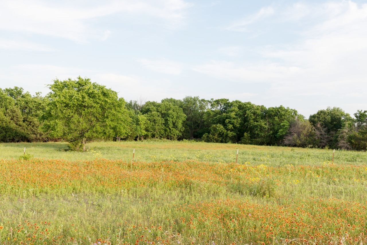
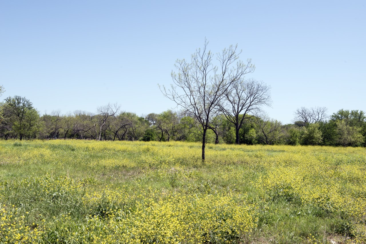
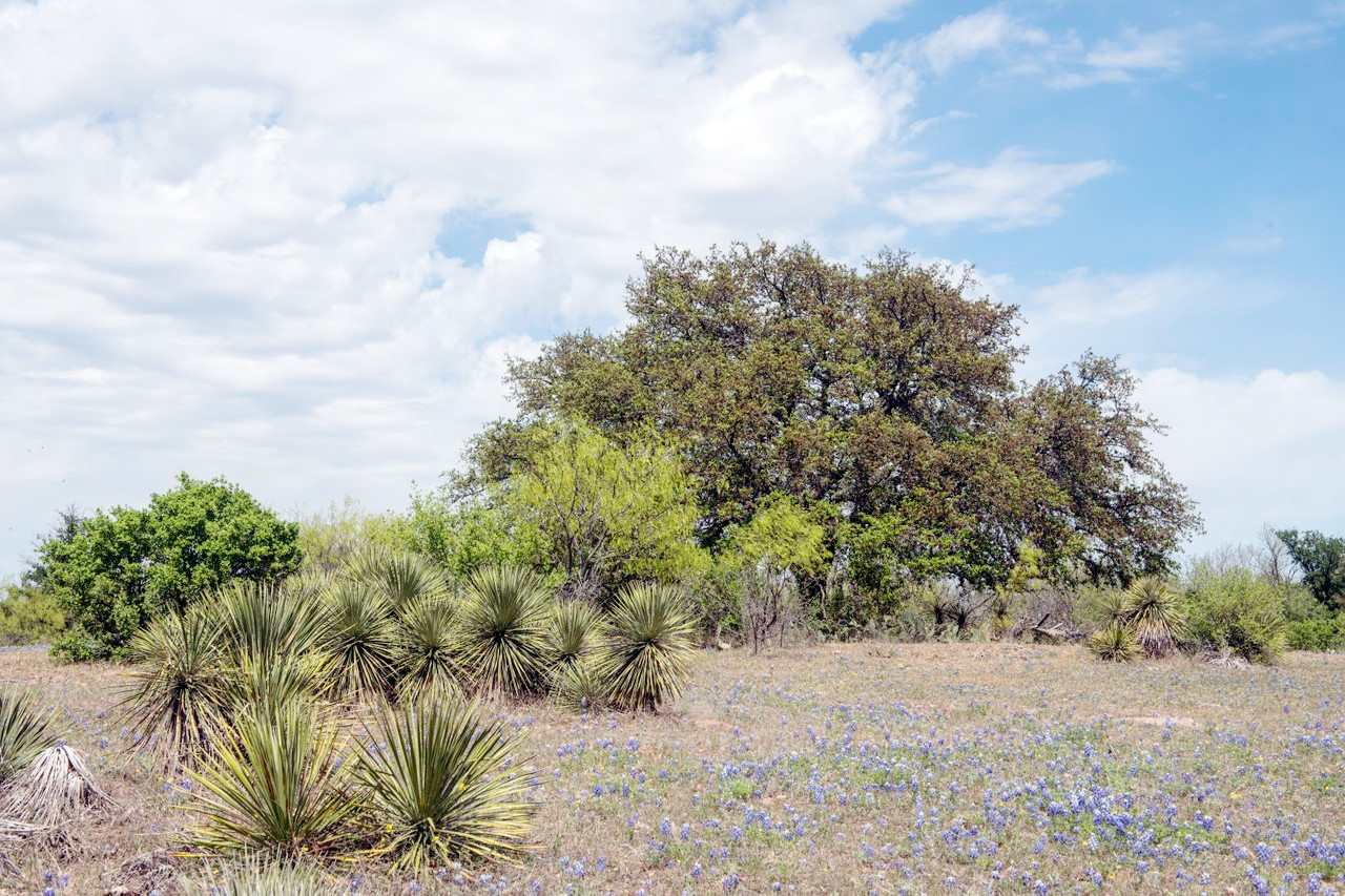
The central prairies are the home of the wild flowers. The rain lily (Zephyranthes), desert willow (Chilopsis), and Texas sage (Leucophyllum frutescens) always bloom after rains. The State flower is the bluebonnet, which may flower as early as February, yet if rains are unseasonal may scarcely bloom at all. The best bluebonnet month is March, and the largest bluebonnet fields are in the south in the vicinity of San Antonio, Austin, Houston, and Corpus Christi. A brilliant wild flower is the verbena, which often covers wide areas with blooms. The brilliant colors of Indian paintbrush and the firewheel can be seen in many places. Phlox grows abundantly, as do primroses of many colors and sizes. There are many varieties of daisies and composites, and milkweed and locoweed grow widely.
The great plains are a region of grassland. They are the southern extension of the vast grasslands lying to the north between the Mississippi valley and the eastern slope of the Rocky mountains, and occupy a vast area in north central Texas. In the river valleys of Edwards Plateau grow pecan, live oak, sycamore, walnut and cypress. Whereas on the hills there can be found scrubby bushes of oak, juniper and cedar. The region is otherwise one of open grassland, but to the south Agave succulents, and the 'prickly pear' Opuntia cacti dominate. Mesquite trees include the honey mesquite (Prosopis glandulosa) and associated with it are other species such as the Texas persimmon, and the creosote bush.
_(f1b41723-09a4-4933-8312-14fedb1c1b81).jpg&oldid=365737187)
.jpg&oldid=308255325)
Trees are scarce in the Trans-Pecos desert, but the upper slopes of some of the mountains are clothed with forests of large pines, cedars and other trees, and smaller trees and shrubs grow further down some mountain slopes. The soil is loose and sandy and the landscape is typically a gray-white color due to the soil cover of eroded limestone, while along the southwestern border stand the pink and purple canyons of the Big Bend. The vegetation is conspicuously sparse and made up of desert species: dwarf shrubs, cacti, yucca/agave plants, rock ferns, and dry plains grasses.
What is the climate of Texas like?
Over most of Texas the climate is warm and pleasant. The summers are very long, and the heat is tempered by the gulf winds which blow far inland. The climate is warm enough for many semi-tropical and some tropical plants. July temperatures average between 75°F (25°C) and 85°F (30°C) across much of the state, although in south, summer temperatures of 95°F (35°C) or more are not uncommon. The winters are not severe except in the high northern parts, where the cold becomes intense. The entire state, except the extreme west, is affected during the winter months by severe and extremely sudden drops of temperature, known locally as "northers," when a drop of 10°F (6°C) or more within a very few minutes is common. The temperature will then continue dropping for some hours by anything up to 50°F (28°C), but will return to normal after a few days.
Rainfall varies greatly across Texas, and has a profound influence on the distribution of plants and animals. There is a general decrease in rainfall from east to west. Thus the forests of the northeast are quite soggy and have an annual rainfall exceeding 50 inches (1,250 mm); this decreases to 24 inches in the southwest near the gulf. In the extreme northwest rainfall is only 16 inches, and at some points between the Pecos and Rio Grande desert conditions prevail and annual rainfall is not more than 8 inches (200 mm). On the whole rainfall is lowest during the winter months, and at its highest in late spring and early autumn. Winter snow mostly affects the high lands of the north and west. Tropical hurricanes from the Gulf rarely strike Texas.
| Climate data for Austin, Texas (1991–2020) | |||||||||||||
|---|---|---|---|---|---|---|---|---|---|---|---|---|---|
| Month | Jan | Feb | Mar | Apr | May | Jun | Jul | Aug | Sep | Oct | Nov | Dec | Year |
| Average high °F (°C) | 62.5 (16.9) | 66.5 (19.2) | 73.3 (22.9) | 80.3 (26.8) | 86.9 (30.5) | 93.2 (34.0) | 96.6 (35.9) | 97.8 (36.6) | 91.4 (33.0) | 82.5 (28.1) | 71.5 (21.9) | 63.9 (17.7) | 80.5 (26.9) |
| Daily mean °F (°C) | 52.2 (11.2) | 56.1 (13.4) | 62.8 (17.1) | 69.6 (20.9) | 76.8 (24.9) | 83.0 (28.3) | 85.8 (29.9) | 86.5 (30.3) | 80.8 (27.1) | 71.6 (22.0) | 61.0 (16.1) | 53.6 (12.0) | 70.0 (21.1) |
| Average low °F (°C) | 41.8 (5.4) | 45.8 (7.7) | 52.2 (11.2) | 58.9 (14.9) | 66.8 (19.3) | 72.9 (22.7) | 75.0 (23.9) | 75.1 (23.9) | 70.1 (21.2) | 60.8 (16.0) | 50.5 (10.3) | 43.4 (6.3) | 59.4 (15.2) |
| Average precipitation inches (mm) | 2.64 (67) | 1.89 (48) | 2.88 (73) | 2.42 (61) | 5.04 (128) | 3.68 (93) | 1.96 (50) | 2.74 (70) | 3.45 (88) | 3.91 (99) | 2.92 (74) | 2.72 (69) | 36.25 (921) |
| Source: NOAA | |||||||||||||
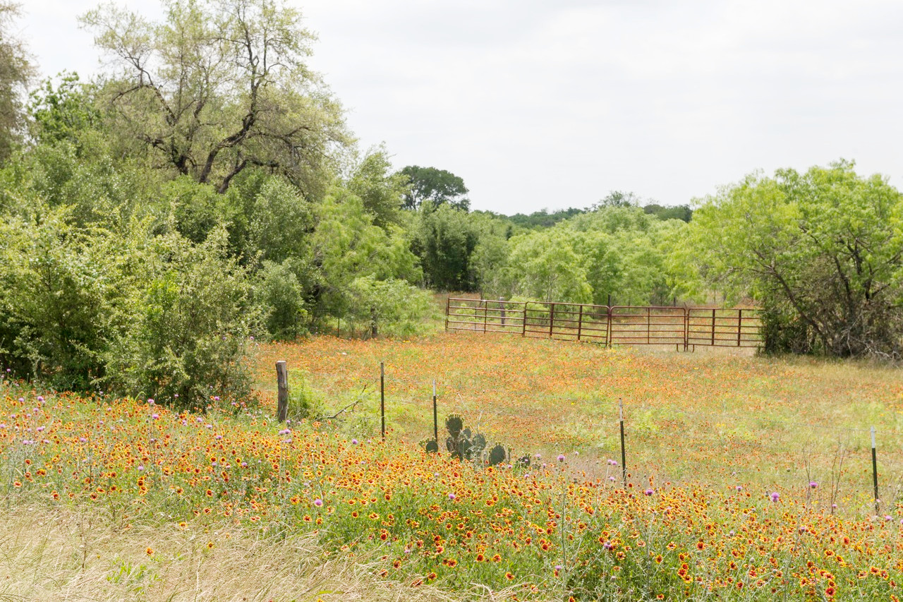 Field of wildflowers in Gonzales County
The official websites
Texas
The Lone Star State
| Location: | West south-central United States, bordering the Gulf of Mexico |
| Coordinates: | 31° 30′ N, 99° 15′ W |
| Size: | • 1245 km N-S; 1290 km E-W • 775 miles N-S; 800 miles E-W |
| Terrain: | Coastal plain in the east and southeast. Upland plain consisting of rolling prairie covering most of central and northern Texas. Mountainous trans-Pecos area in the extreme west. |
| Climate: | Hot summers that can last from April through October and winters from November until March. Maritime climate along the Gulf coast. |
| Highest point: | Guadalupe Peak 2,667 m / 8,751 ft |
| Forest: | 37% (2016) (source) |
| Population: | 29,360,759 (2020) |
| Population density: | Low (40/km²) |
| Capital: | Austin |
| Languages: | English; Spanish |
| Human Development Index: | Very High (0.917) |