.jpeg)
The Geography of
Louisiana
Why visit Louisiana?
Louisiana has beautiful landscapes, rich culture, and friendly people. Louisiana's landscapes varies from uplands of prairie and forest to the alluvial lands and swamps of the Gulf Coast. The State is dominated by the flow of the mighty Mississippi River which empties into the Gulf of Mexico. Otherwise, Louisiana is known for New Orleans French Quarter, jazz, restaurants, Mardi Gras; and the French-influenced 'Cajun country'.
Contents
Map
 Relief map of Louisiana
What is the landscape of Louisiana like?
North and Central
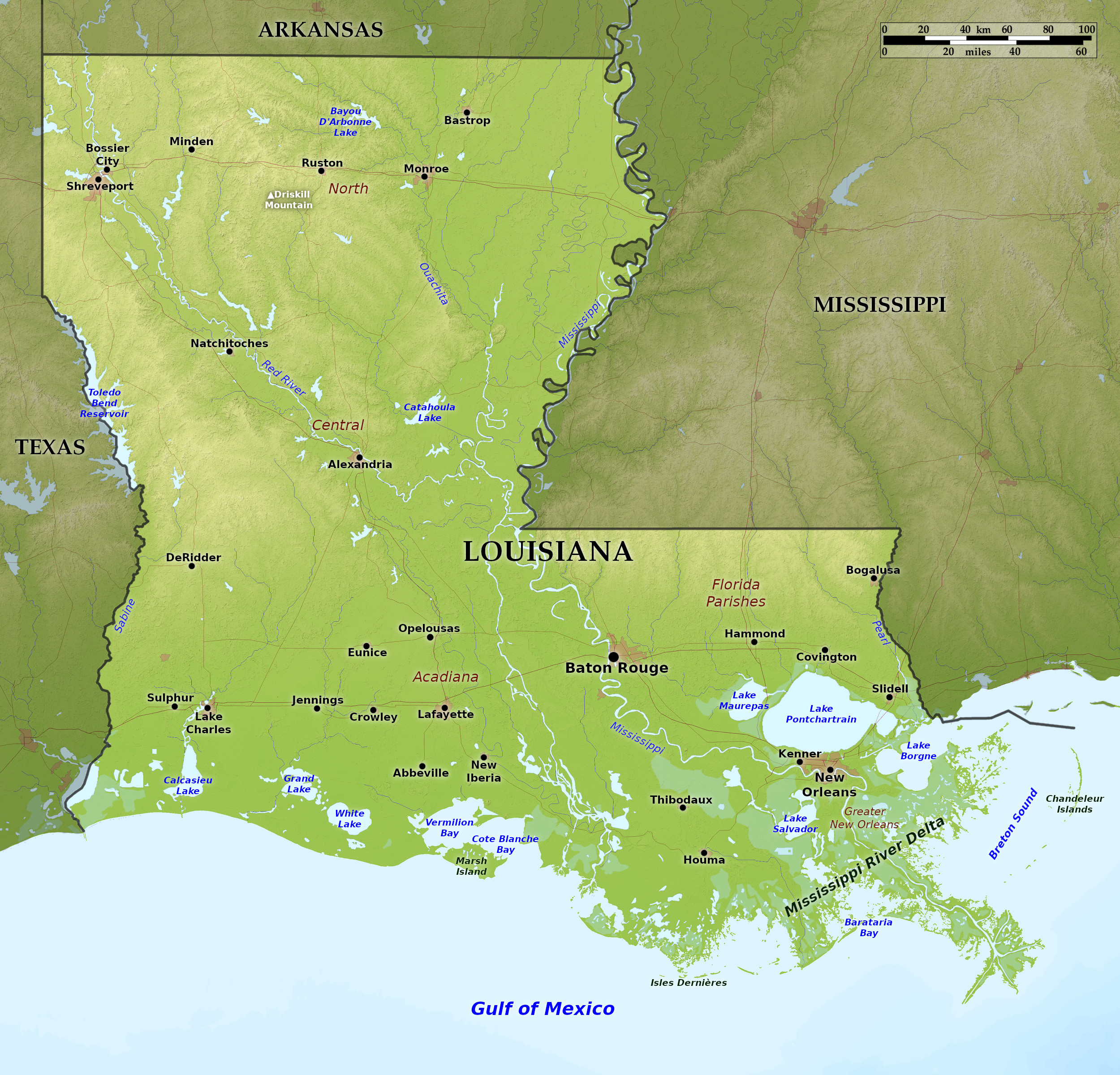
The highest land in Louisiana is in the northwestern and northern regions. Here the landscape is a rolling one with flat-topped hills interspersed with little river valleys. Many cliff-like "bluffs" (remnants of an eroded plain) run through this region. The highest point in the State is Driskill Mountain at 535 feet (163 m).
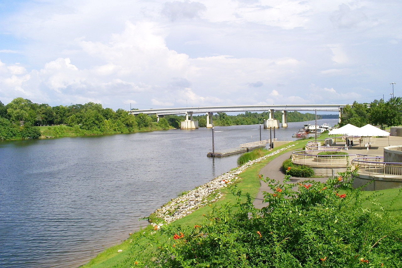
The other major feature of this region are the river plains, especially the Red River and Mississippi River. The Red River enters the state from the northern boundary, and traverses the whole state in a south-easterly direction, emptying itself into the Mississippi. The Mississippi River flows along the east border of the state in the north, and winds upon the summit of a ridge formed by its own deposits. The flood plain along the Mississippi within Louisiana ranges from 10 to 50 or 60 miles wide. Cut-off meanders along the Mississippi and Red rivers form Ox-bow lakes, large in numbers but small in area. On the western border of Louisiana is the Toledo Bend Reservoir, a huge artificial lake on the Sabine River.
Southwest: Acadiana
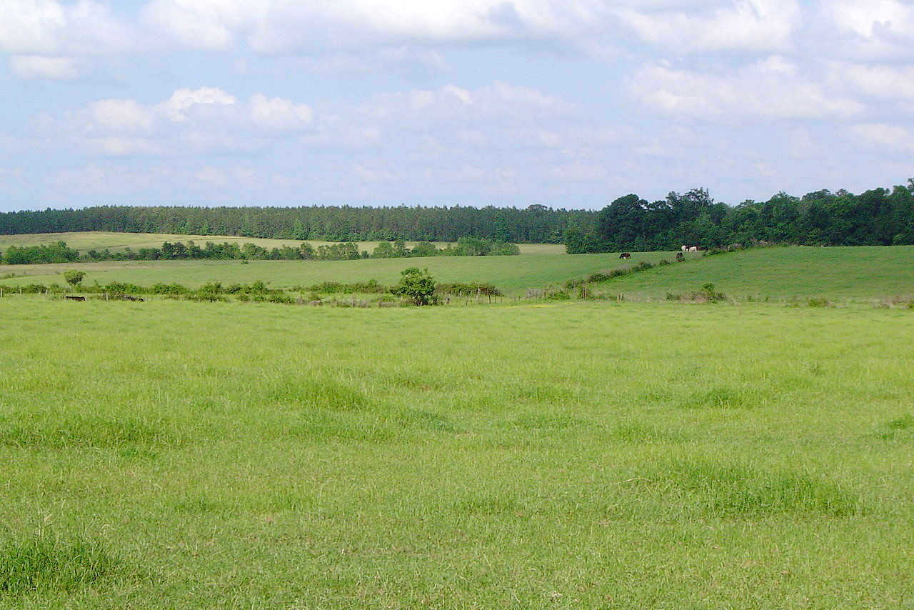
South of the Red River prairie areas become increasingly common, constituting the entire southwest corner of the state. They are usually only 20 to 30 feet (5–10 m) above the sea in this district, often treeless except for woodland along the meandering streams. One of the peculiar features are the sandy circular mounds, 2 to 10 feet high and 20 to 30 or even 50 feet (15 m) in diameter, sometimes surmounted by trees in the midst of a treeless plain.
South: the Coastal Delta
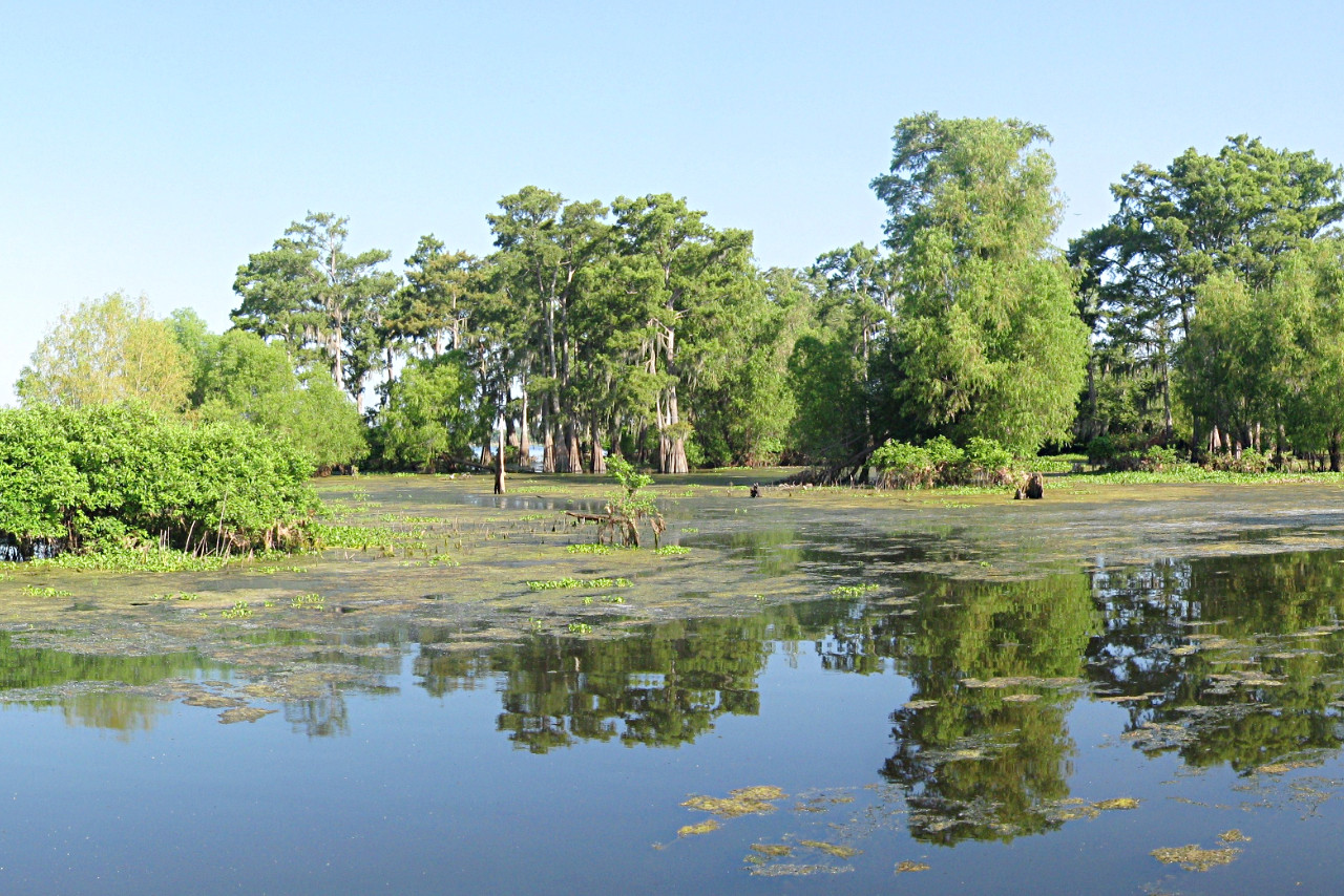
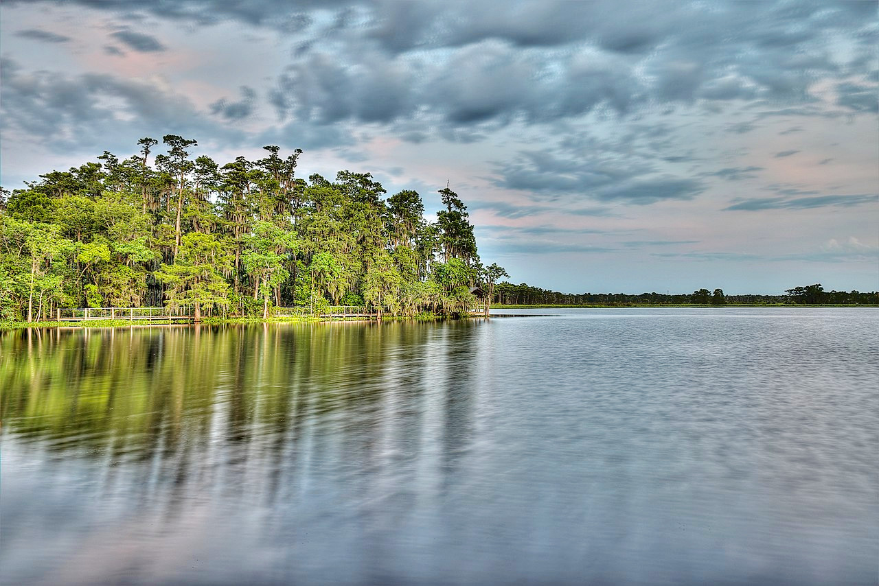
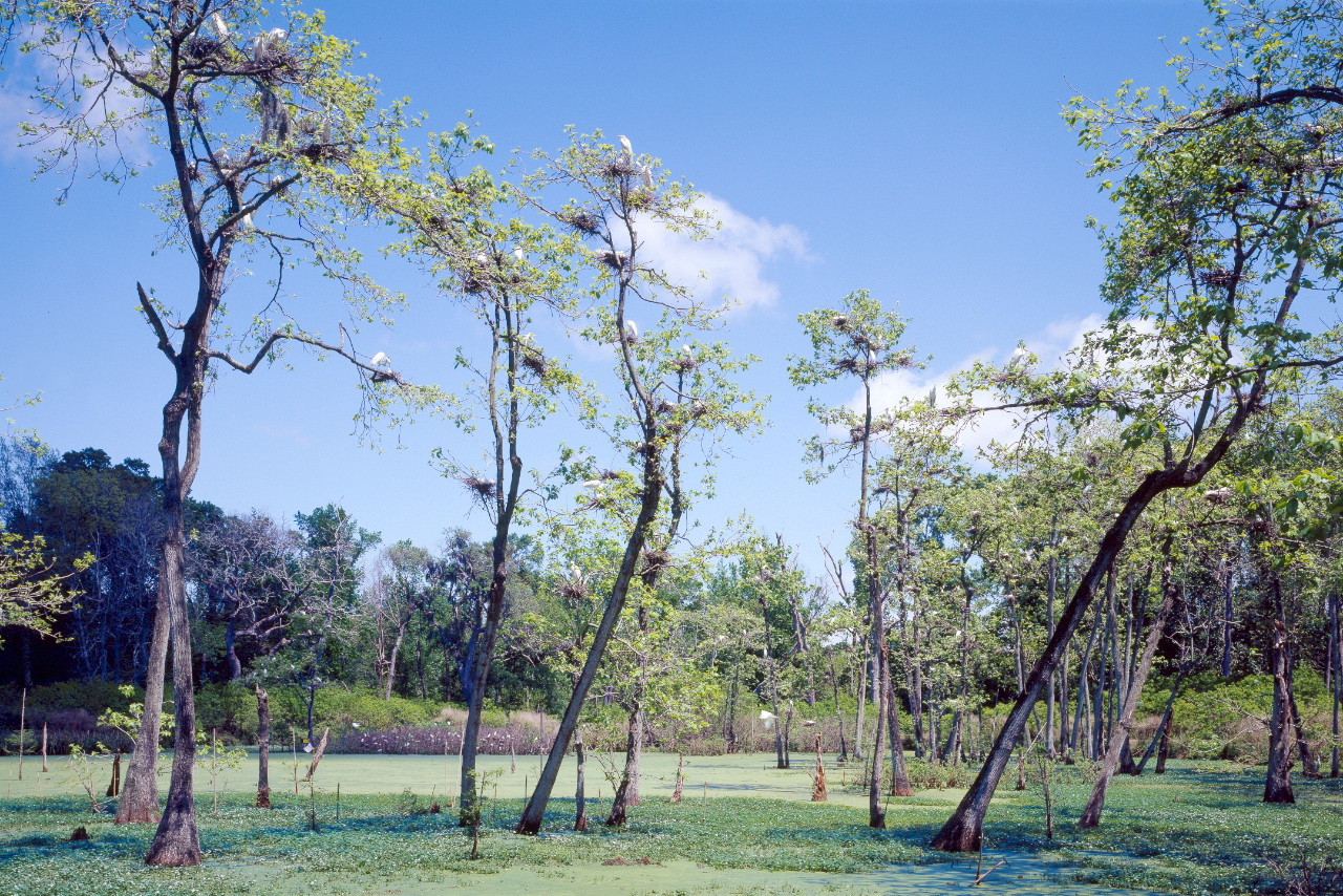
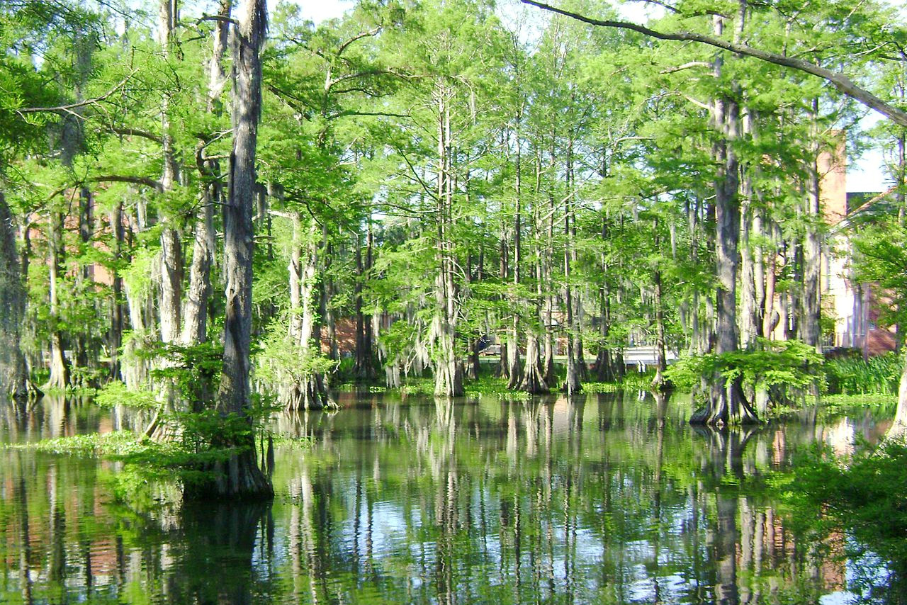
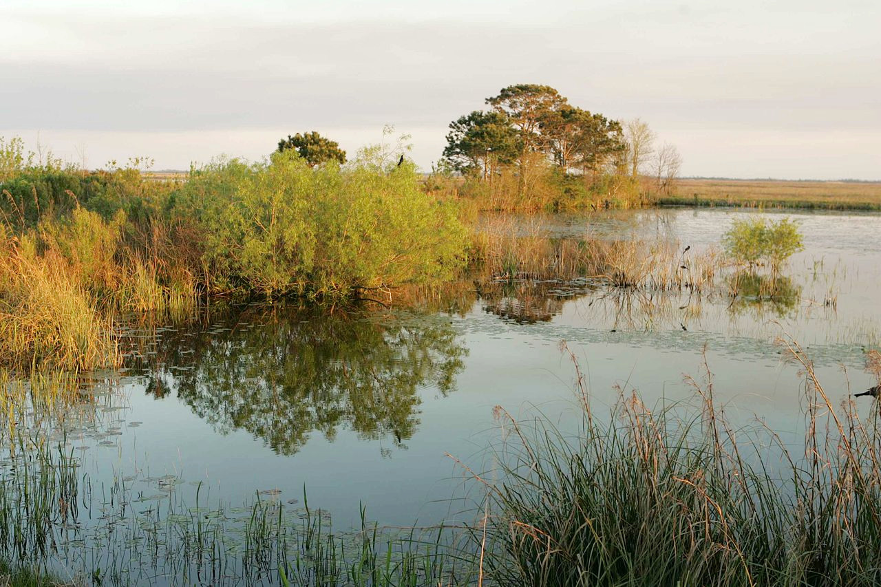
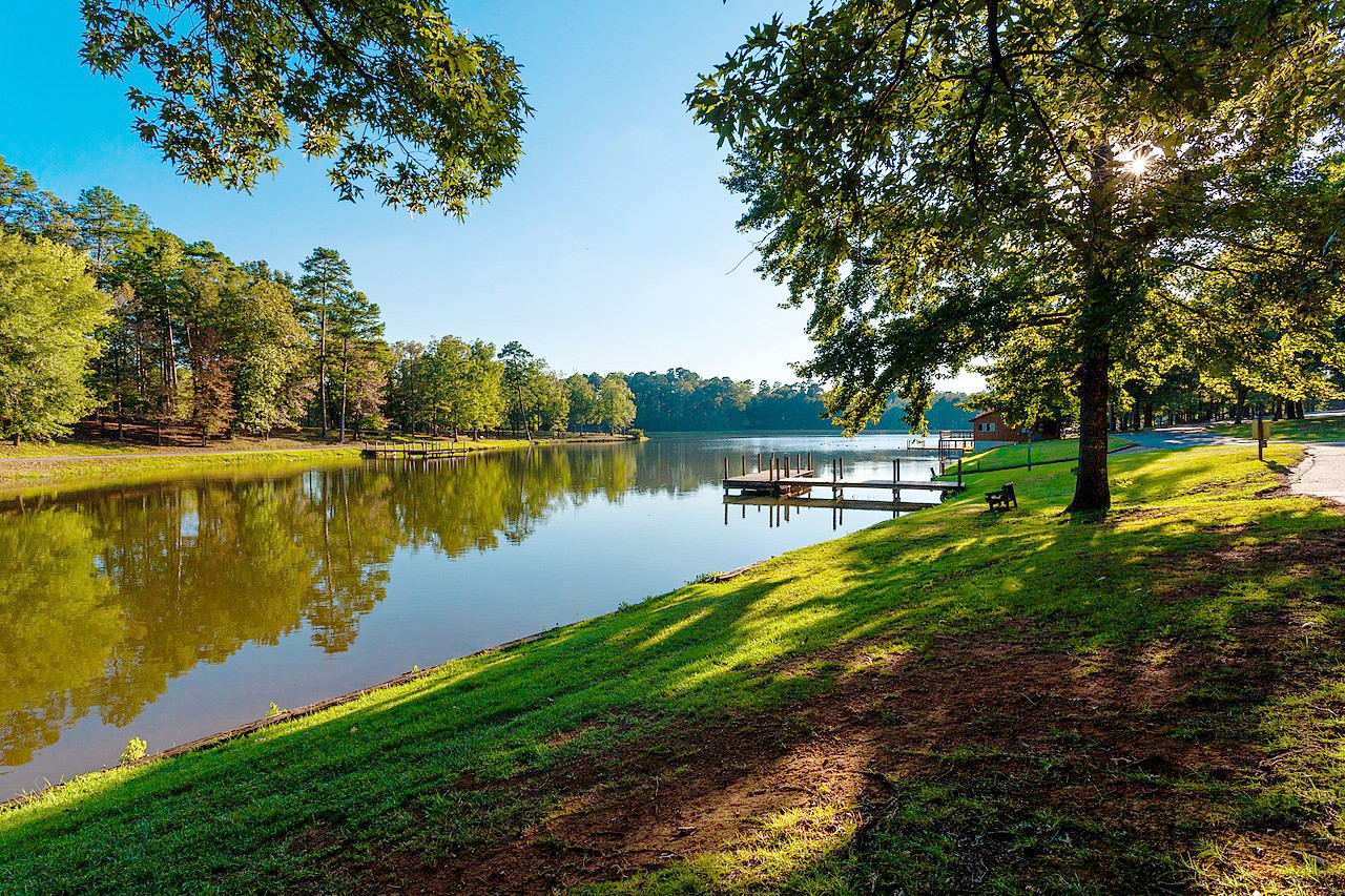
Stretching along the coast, and extending inland from 20 to 50 or even 60 miles, is a low, swampy region known as the Coastal Delta which consists of the Mississippi Delta and the coastal lowlands. Louisiana has the most wetlands—swamps, marshes, and estuaries—in all the United States. These coast marshes are often fringed with wooded swamp and sea marsh or enclosed in a tangle of vegetation and forests. In some places the marsh is open and grassy, flooded only at high tides or in rainy seasons. Large tracts have also been diked and reclaimed for agriculture.
.jpeg)
Almost all the water-courses, particularly if they have sluggish currents, are known as "bayous". Some might well be called lakes, and others rivers. The great river plain of the State, especially below the mouth of the Red River, is an intricate network of these bayous. In timed of flood these often served to carry off the escaping surplus river water. In modern times many of the water courses have been diked—enclosed in over a thousand miles of embankments, locally called levees.
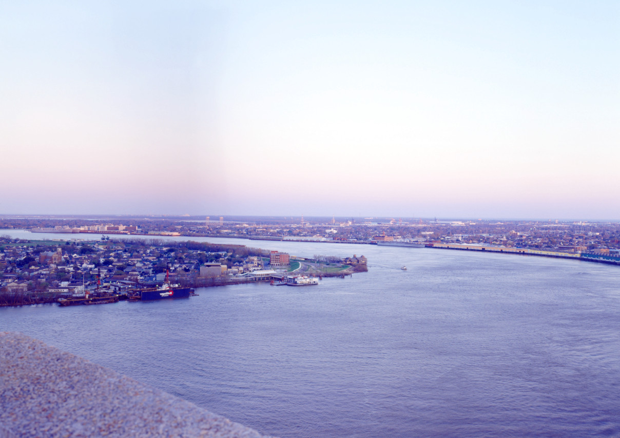
Some of the coast lagoons are merely landlocked salt-water bays, the waters of which rise and fall with the tides. The largest such lagoon is Lake Pontchartrain, with an area of more than 620 sq mi (1,600 sq km). The city of New Orleans sits on the river plain on the south side of Lake Pontchartrain nestled in a bend in the Mississippi River. The city is famous for its 'French Quarter' in which the history, poetry and romance of New Orleans are celebrated.
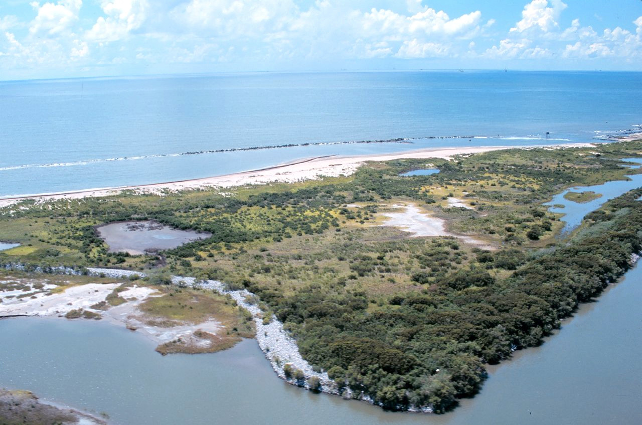
Louisiana has nearly 2,500 coastal islands covering some 2,000 sq mi (5,000 sq km). South of New Orleans lies the main body of the delta proper of the great Mississippi River extends about seventy miles beyond the Gulf coast, this is the great silt outpouring of the Mississippi depositing material into the Gulf of Mexico.
What is the nature of Louisiana like?
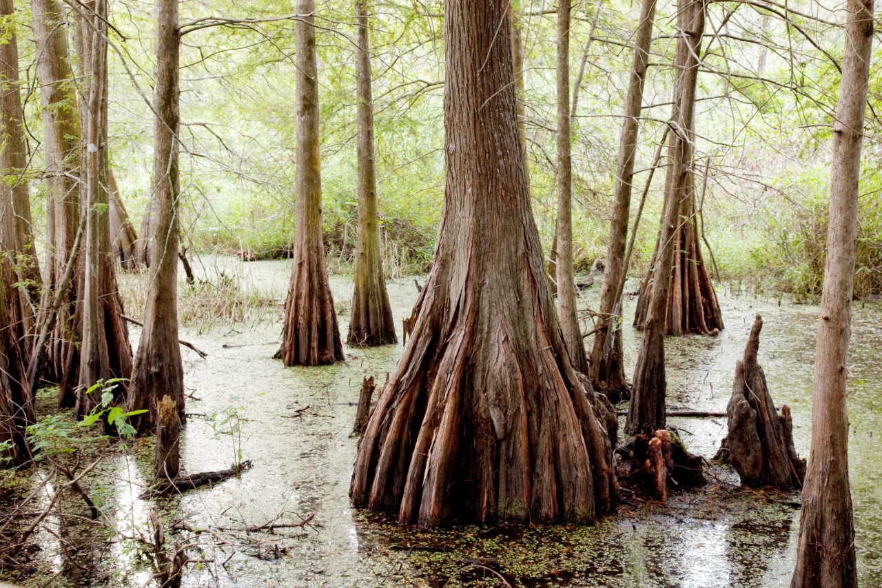
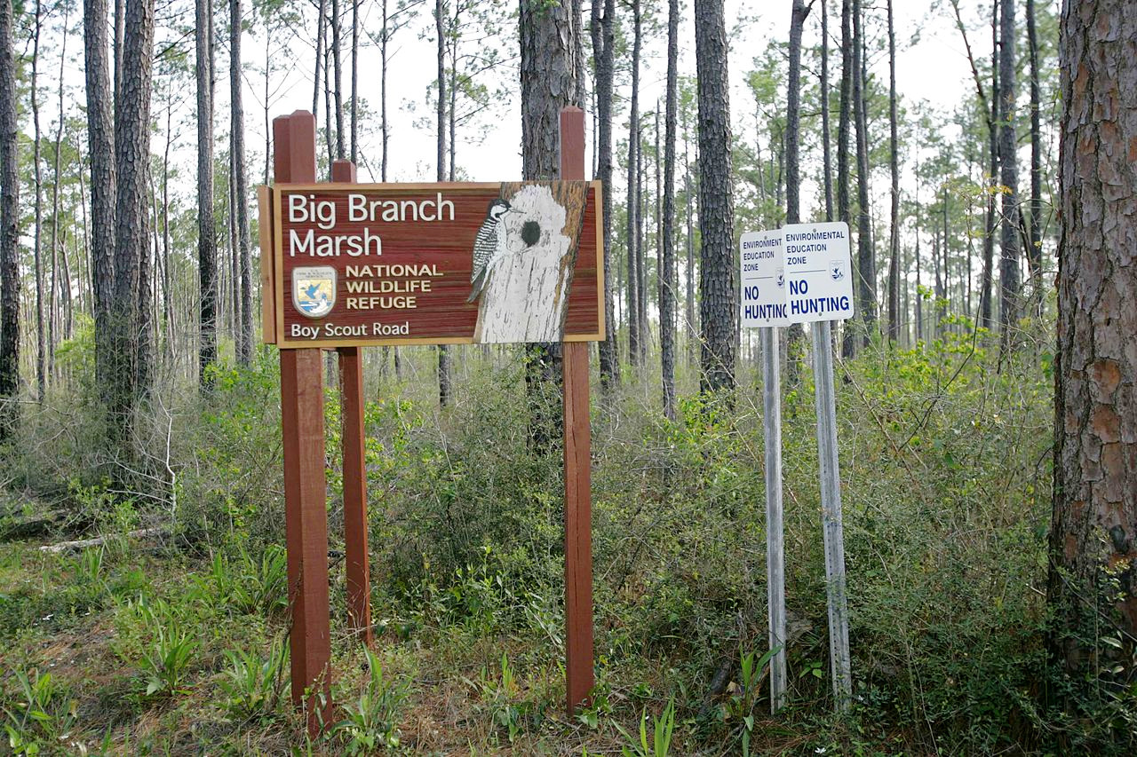
High temperatures, abundant rainfall, and fertile soil cover the greater part of Louisiana, and adorn the state with a luxuriant subtropical vegetation especially in the coastal swamps. The variety of the trees is very great. Much of the river swamp region is covered with cypress trees festooned with Spanish moss. The most common species in the swamps and in the river valleys of the prairies are various oaks, black, sweet and tupelo gum, holly, cotton-wood, poplar, magnolia sweet bay, the tulip tree, catalpa, black walnut, pecans, hickories, ash, beech, and short-leaf pine. On drier and higher ground are the persimmon, sassafras, red maple, elm, black haw, hawthorn, many oak species, and hickory. The uplands have splendid forests of shortleaf pine and longleaf pine.
.jpg&oldid=489526518)
.jpg&oldid=496540557)
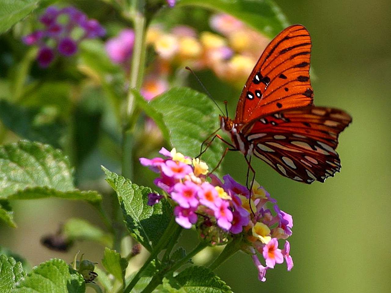
Louisiana is celebrated for the beauty and fragrance of its flowers. Flowers cover the hills and valleys in great profusion. Flowering aquatics include water lilies, water hyacinths, and irises in rich variety which give color to the coastal marshes and bayous. Notable among the flowers are ground orchids, hyacinths, roses, japonicas, hibiscus shrubs of various species, poinsettias, tea olives, crepe myrtle, jasmines, magnolias, camellias, oleanders, chrysanthemums, geraniums and plumbagos.
What is the climate of Louisiana like?
Louisiana's climate is semitropical and very comfortable in most areas. Southerly winds blow from the Gulf of Mexico, bringing sea breezes in summer, while in the winter there is three months of frosty weather, which begins sometimes in November, sometimes in December. This warmth and moisture promote the most luxuriant growth of flowers and semitropical plants. The normal daily temperature in New Orleans is 68°F (20°C), ranging from 52°F (11°C) in January to 82°F (28°C) in July.
Rainfall and humidity decrease, and daily temperature variations increase, with distance from the Gulf of Mexico. More rain falls in summer than in any other season, but in some parts the heaviest rainfall is in the spring and in others in the winter. A light fall of snow is not uncommon in the northern parts, but rare in the southern part of the state. Prevailing winds are from the south or southeast. During the summer and fall, tropical storms and hurricanes sometimes batter the State, especially along the coast.
| Climate data for Baton Rouge, Louisiana (1991–2020) | |||||||||||||
|---|---|---|---|---|---|---|---|---|---|---|---|---|---|
| Month | Jan | Feb | Mar | Apr | May | Jun | Jul | Aug | Sep | Oct | Nov | Dec | Year |
| Average high °F (°C) | 62.3 (16.8) | 66.6 (19.2) | 73.0 (22.8) | 79.1 (26.2) | 85.8 (29.9) | 90.5 (32.5) | 91.9 (33.3) | 92.2 (33.4) | 88.7 (31.5) | 80.9 (27.2) | 71.0 (21.7) | 64.3 (17.9) | 78.9 (26.1) |
| Daily mean °F (°C) | 52.0 (11.1) | 55.9 (13.3) | 62.0 (16.7) | 68.0 (20.0) | 75.5 (24.2) | 81.0 (27.2) | 82.9 (28.3) | 82.8 (28.2) | 78.8 (26.0) | 69.5 (20.8) | 59.4 (15.2) | 53.8 (12.1) | 68.5 (20.3) |
| Average low °F (°C) | 41.6 (5.3) | 45.3 (7.4) | 51.0 (10.6) | 56.9 (13.8) | 65.1 (18.4) | 71.5 (21.9) | 73.8 (23.2) | 73.3 (22.9) | 68.9 (20.5) | 58.1 (14.5) | 47.8 (8.8) | 43.3 (6.3) | 58.0 (14.4) |
| Average precipitation inches (mm) | 6.36 (162) | 4.42 (112) | 4.46 (113) | 5.08 (129) | 5.23 (133) | 6.45 (164) | 5.09 (129) | 6.37 (162) | 4.42 (112) | 4.84 (123) | 3.90 (99) | 5.32 (135) | 61.94 (1,573) |
| Source: NOAA | |||||||||||||
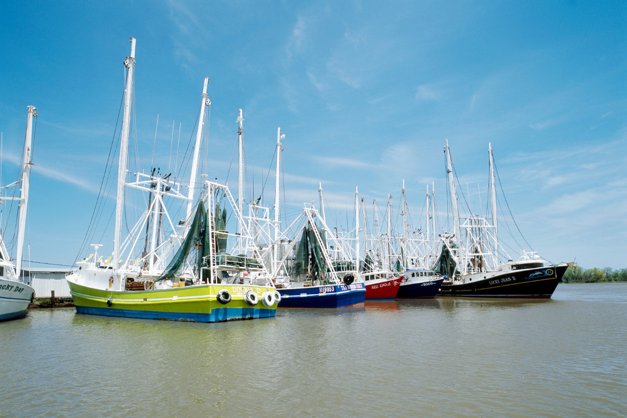 Louisiana shrimp boats, Grand Isle
The official websites
Louisiana
The Pelican State
| Location: | South-central United States on the Gulf of Mexico |
| Coordinates: | 31° 00′ N, 92° 00′ W |
| Size: | • 380 km N-S; 380 km E-W • 235 miles N-S; 235 miles E-W |
| Terrain: | Coast and river plains with low rolling hills in the north |
| Climate: | Semitropical; mild winters; hot summers tempered by sea breezes |
| Highest point: | Driskill Mountain 163 m / 535 ft |
| Forest: | 53% (2016) (source) |
| Population: | 4,648,794 (2019) |
| Population density: | Low (35/km²) |
| Capital: | Baton Rouge |
| Languages: | English (91%); French, incl. Cajun and Creole, (3.5%); Spanish (3.3%) |
| Human Development Index: | Very High (0.893) |