The Geography of
New South Wales
Why visit New South Wales?
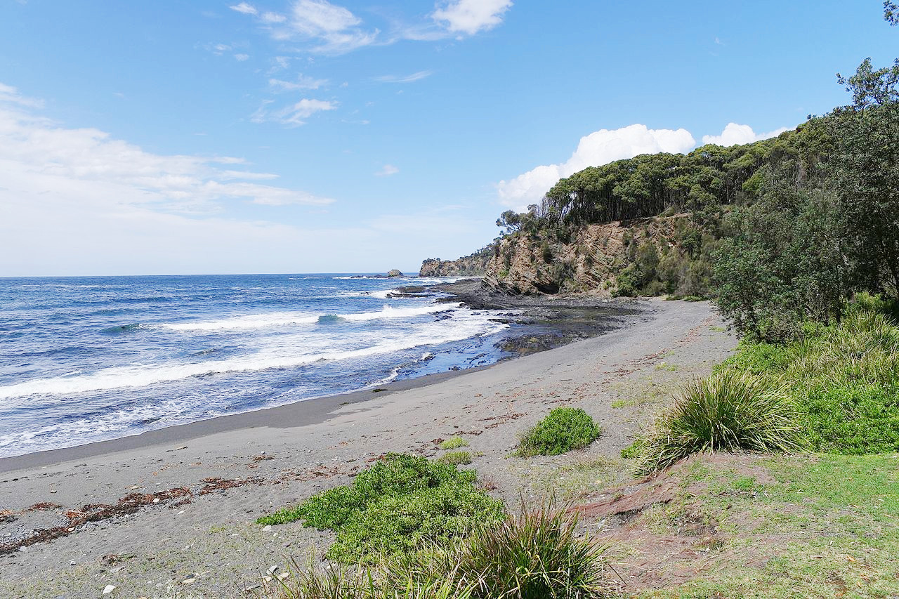
People have always been drawn to New South Wales for its natural beauty and sweeping landscapes. It's a region of vast open spaces and rolling hills, laced with waterways and crisscrossed by rugged mountain ranges. There are also plenty of parks and nature reserves. New South Wales is an amazing place—the landscape is beautiful, the people are friendly, and the climate is perfect.
Map
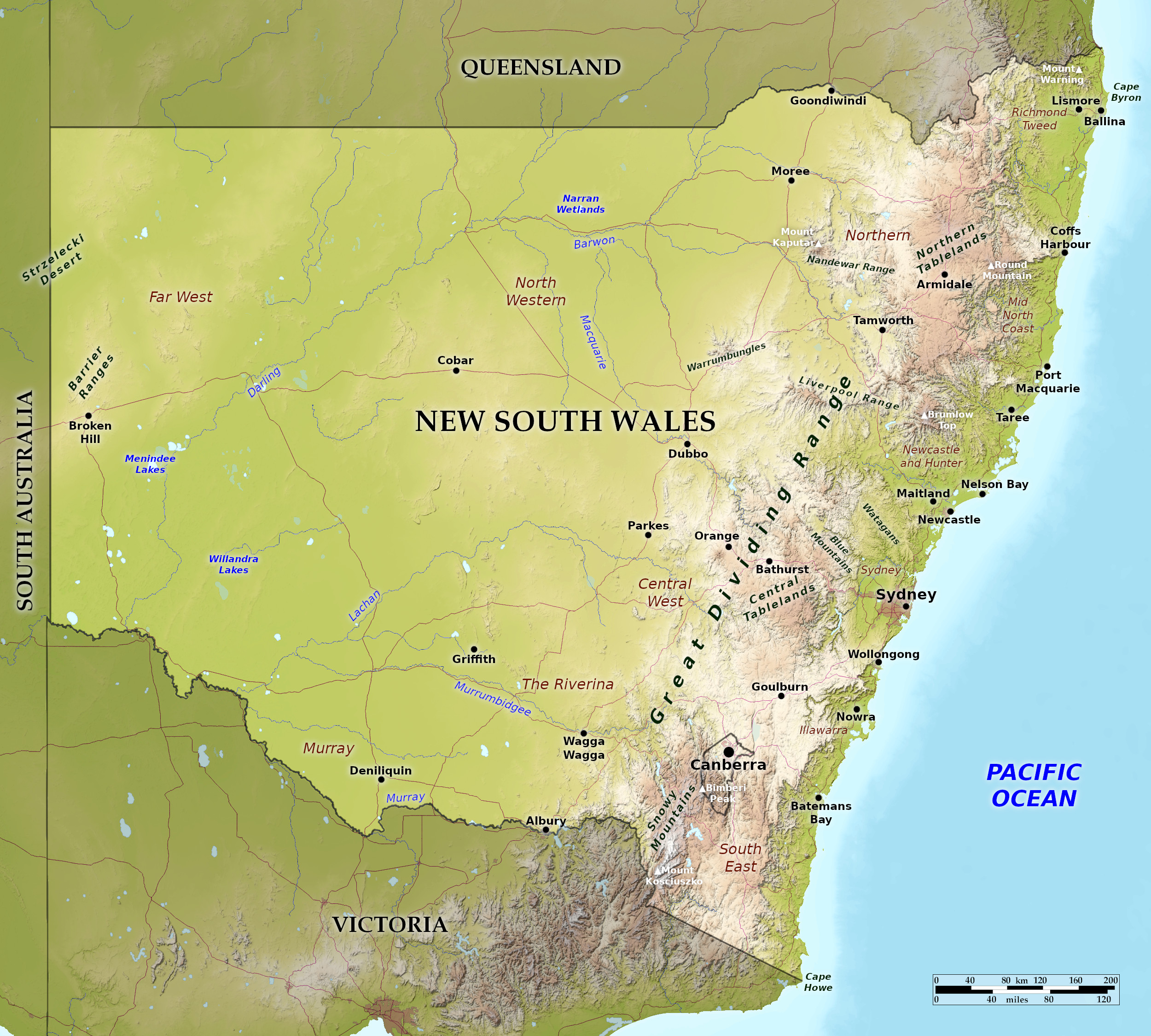 Relief map of New South Wales
What is the landscape of New South Wales like?
New South Wales is situated in the southeastern part of Australia. It is similar in size to Texas. The state is divided naturally into three distinct regions: the mountains defined by the Great Dividing Range running from north to south; the great plain of the interior; and the coastal region.
Mountains
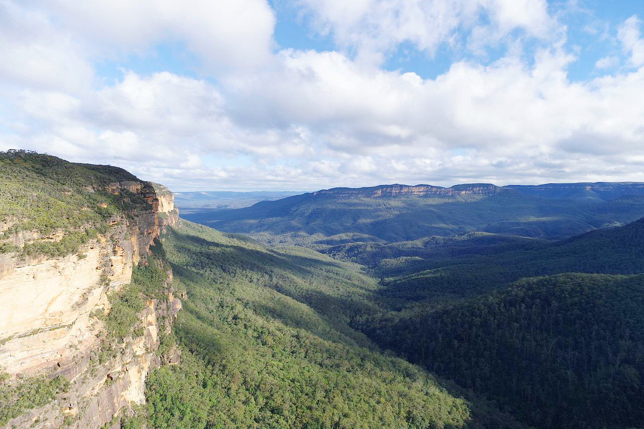
The Great Dividing Range follows the line of the coast, varying from 30 to 140 miles distant, being nearest at the south. The crest of this range is, in some places, narrow; in others it spreads out into a wide tableland. The eastern slopes are, as a rule, rugged and precipitous, but the western side falls gently to plains. The highest part of the Dividing Range is in the southeastern parts of the state, on the borders of Victoria. Here some of the peaks rise to a height of over 2,000 meters (7,000 feet); one of these, Mount Kosciusco, the highest peak in Australia, attains an elevation of 2,228 meters (7,310 feet). The tableland varies greatly in elevation, but nowhere does it fall below 450 meters (1,500 feet), and in places it reaches an average of 1,500 meters (5,000 feet).
Plains
The great plains, lying west of the tableland, is part of a vast basin which extends into Queensland, South Australia and Victoria. The great plains have only a few rivers, whose long and uncertain courses carry their waters to the Murray, and during 1,250 miles of its course forms the boundary between the states of New South Wales and Victoria. The Murray has a very tortuous course. The chief tributaries of the Murray are the Darling and the Murrumbidgee. The Murray and the Murrumbidgee are permanent rivers, but the Darling occasionally ceases to run in part of its course. In its upper course the Darling receives numerous tributaries. Those on the right bank all come from Queensland and bring down enormous volumes of water in flood time. Here and there along the course of the western rivers are found lagoons. These are commonly called lakes, but are in reality shallow depressions receiving water from the overflow of the rivers in times of flood.
Coast
The coastal belt differs greatly from the other parts of the state. The main range gives rise to many rivers flowing eastward to the Pacific Ocean. Almost everywhere between the main range and the sea the country is hilly, more particularly in the southern parts of the state. In the Illawarra district, 50 miles south of Sydney, the mountains skirt the very edge of the coast, but farther north there is a wider coast land, with greater stretches of open country. Along the coast are many headlands or capes and about a score of bays or inlets. Port Jackson, on which is situated the city of Sydney, is one of the greatest harbours of the world.
What is the nature of New South Wales like?
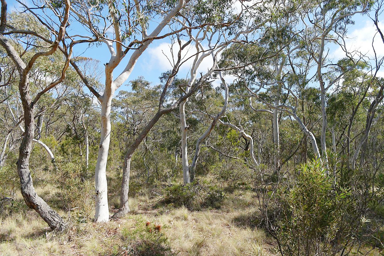
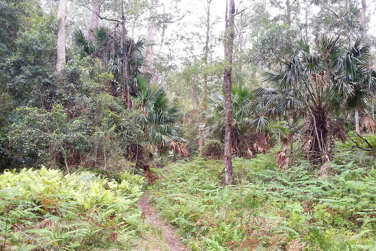
The uplands and the eastern portion of the great plains are covered with open forests of eucalyptus trees. Denser forests grow in the valleys of the very fertile coastal districts. The arid western plains are covered only with stunted bushes and shrubs.
What is the climate of New South Wales like?
The climate New South Wales is in general warm, becoming subtropical toward the north. Sydney has hot summers and mild winters. Rainfall is greatest on the coast, diminishing inland; the fall also diminishes from north to south. The mountains have a distinct climate: the summers are as mild as those of London or Paris, while the winters are much less severe. In the west, on the great plains, severe heat is experienced throughout the summer. Winters are warm and accompanied by clear skies, making the season very refreshing. Rainfall in large areas of the west is very low.
| Climate data for Sydney (1991–2020) | |||||||||||||
|---|---|---|---|---|---|---|---|---|---|---|---|---|---|
| Month | Jan | Feb | Mar | Apr | May | Jun | Jul | Aug | Sep | Oct | Nov | Dec | Year |
| Average high °C (°F) | 27.0 (80.6) | 26.8 (80.2) | 25.7 (78.3) | 23.6 (74.5) | 20.9 (69.6) | 18.3 (64.9) | 17.9 (64.2) | 19.3 (66.7) | 21.6 (70.9) | 23.2 (73.8) | 24.2 (75.6) | 25.7 (78.3) | 22.8 (73.0) |
| Daily mean °C (°F) | 23.5 (74.3) | 23.4 (74.1) | 22.1 (71.8) | 19.5 (67.1) | 16.6 (61.9) | 14.2 (57.6) | 13.4 (56.1) | 14.5 (58.1) | 17.0 (62.6) | 18.9 (66.0) | 20.4 (68.7) | 22.1 (71.8) | 18.8 (65.8) |
| Average low °C (°F) | 20.0 (68.0) | 19.9 (67.8) | 18.4 (65.1) | 15.3 (59.5) | 12.3 (54.1) | 10.0 (50.0) | 8.9 (48.0) | 9.7 (49.5) | 12.3 (54.1) | 14.6 (58.3) | 16.6 (61.9) | 18.4 (65.1) | 14.7 (58.5) |
| Average rainfall mm (inches) | 91.1 (3.59) | 131.5 (5.18) | 117.5 (4.63) | 114.1 (4.49) | 100.8 (3.97) | 142.0 (5.59) | 80.3 (3.16) | 75.1 (2.96) | 63.4 (2.50) | 67.7 (2.67) | 90.6 (3.57) | 73.0 (2.87) | 1,149.7 (45.26) |
| Source: Australian Bureau of Meteorology | |||||||||||||
The official websites
New South Wales
The Premier State
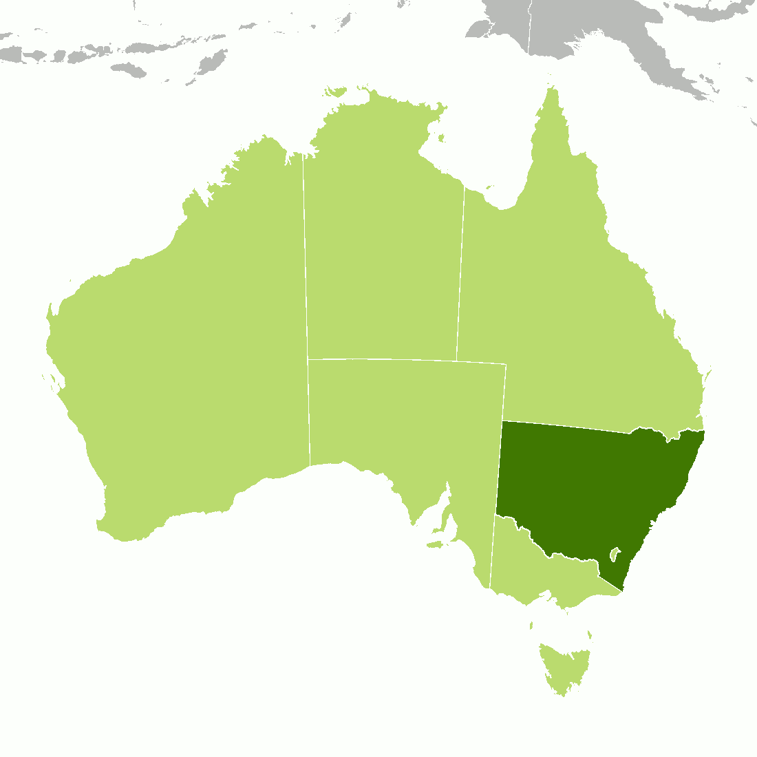
| Location: | Southeast Australia |
| Coordinates: | 33° 00′ S, 146° 45′ E |
| Size: | • 1060 km N-S; 1200 km E-W • 660 miles N-S; 745 miles E-W |
| Terrain: | Hill and mountain ranges separate a narrow coastal plain from an interior plateau |
| Climate: | Temperate to mediterranean climate on the coasts and in the hills. Semi-desert climate inland |
| Highest point: | Mount Kosciuszko 2,228 m / 7,310 ft |
| Forest: | 25% (2018) (source) |
| Population: | 8,176,368 (2021) |
| Population density: | Low (10/km²) |
| Capital: | Sydney |
| Languages: | English |
| Human Development Index: | Very High (0.945) |
