The Geography of
Queensland
Why visit Queensland?
Queensland is a beautiful region with many natural attractions. Queensland's diverse landscape ranges from tropical rainforest to rugged outback, making it the perfect place to explore all year round. The state is home to some of Australia's most iconic landmarks including the Great Barrier Reef, and the cities of Cairns, and Brisbane. It is a great place to visit if you love nature—rainforest, deserted beaches, rolling hills and seaside towns.
Contents
Map
 Relief map of Queensland
What is the landscape of Queensland like?
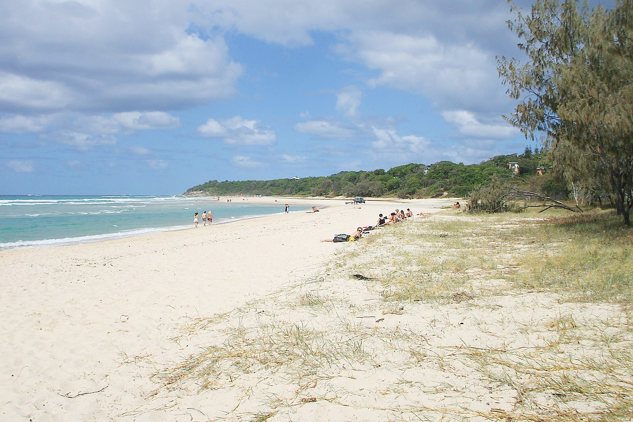
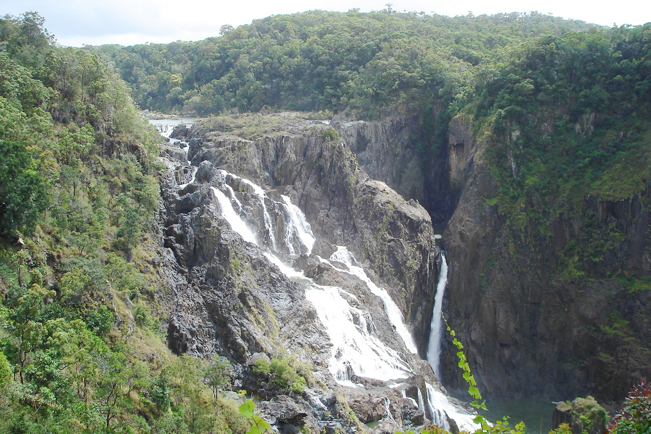
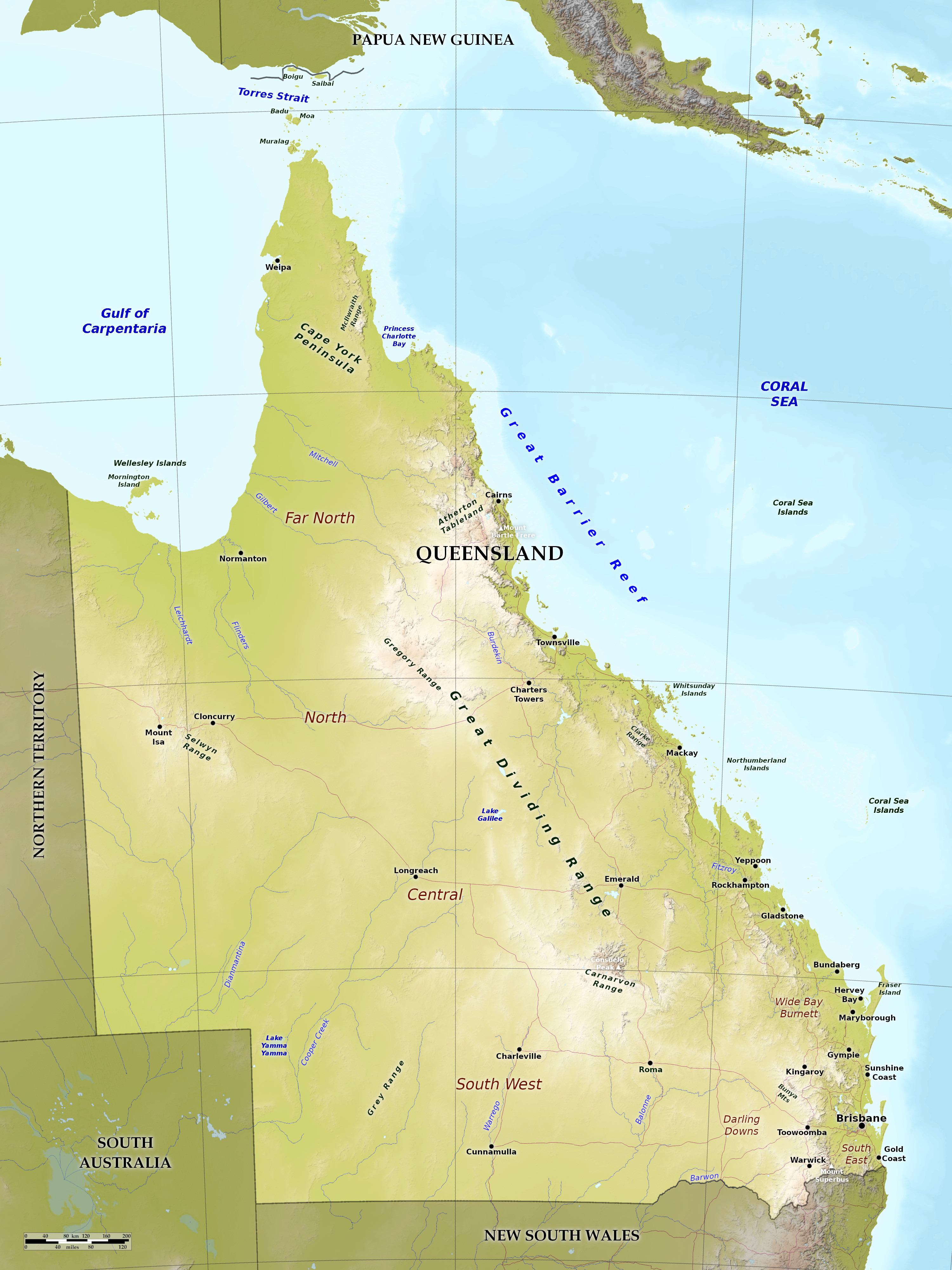
Queensland is a state occupying the whole of the northeastern portion of the Australia, and comprising also the islands in Torres Strait. The coastline is around 2230 miles long. The eastern coast has numerous small bays, with several good harbors, such as Moreton Bay, the harbor of Brisbane. This coast is lined, at a distance away of 20 to 150 miles, by the immense coral reef—the Great Barrier Reef, which is about 1000 miles long and encloses a broad sheet of quiet water filled with many islands.
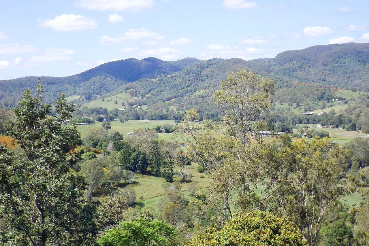
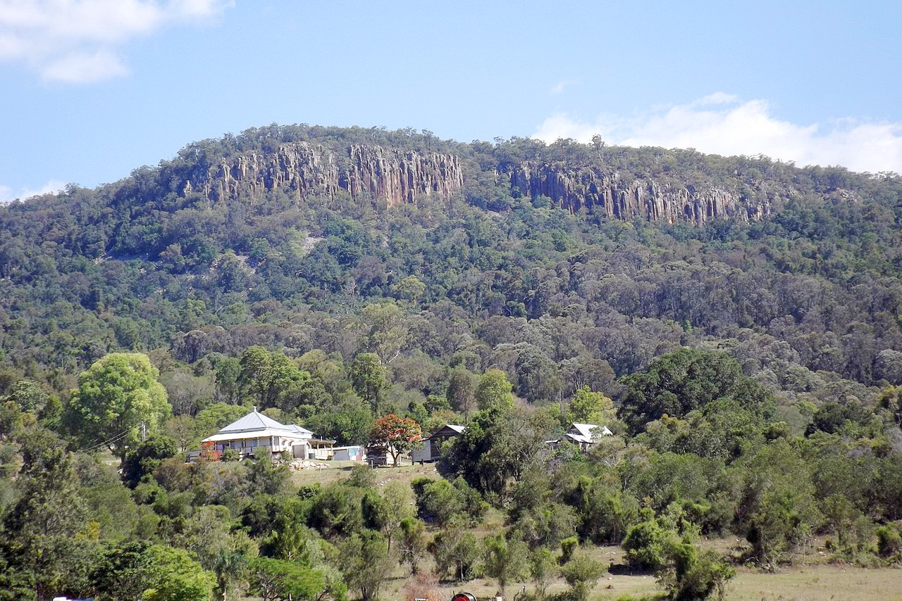
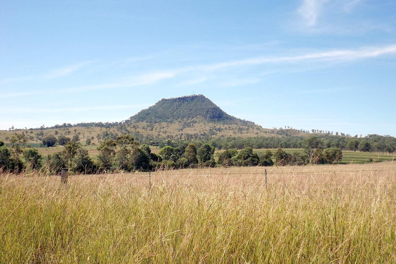
A broad plateau, from 500 to 1,500 meters (2,000–5,000 feet) in height, extends from north to south, at around 20 to 100 miles from the coast, forming the Great Dividing Range. It sends out a number of spurs, and divides into parallel coast ranges, so that the whole eastern part of the State for 300 miles from the coast is rugged and mountainous.
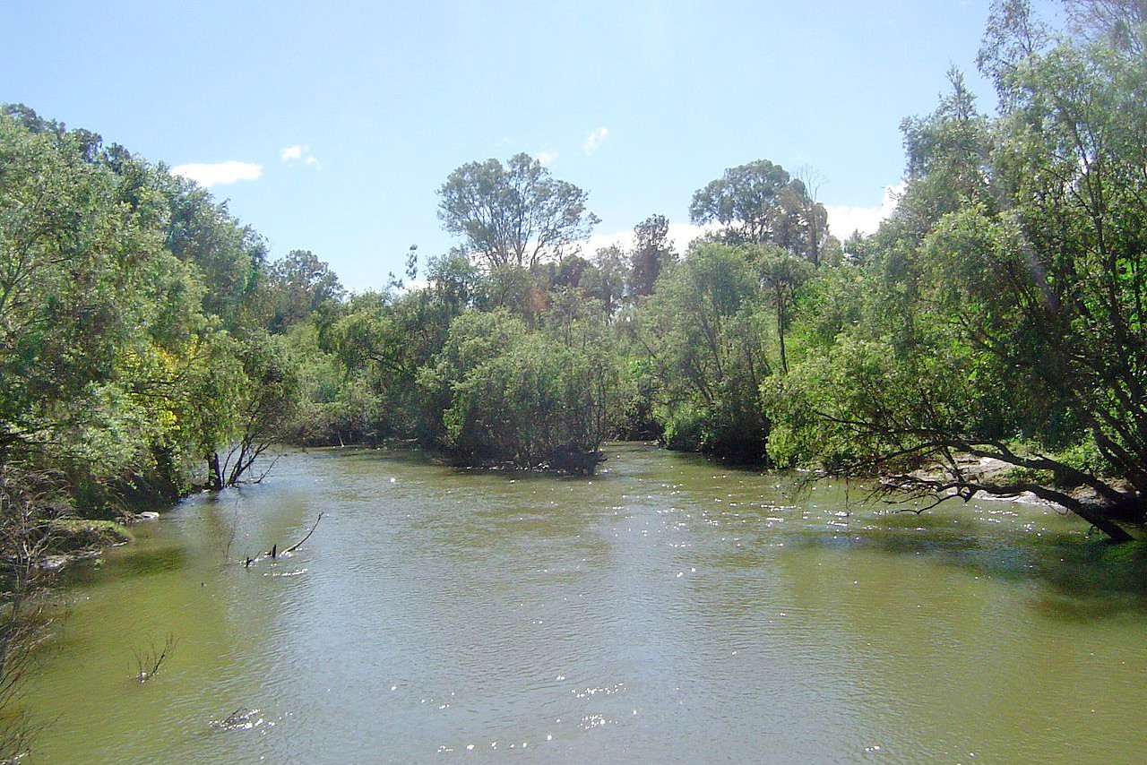
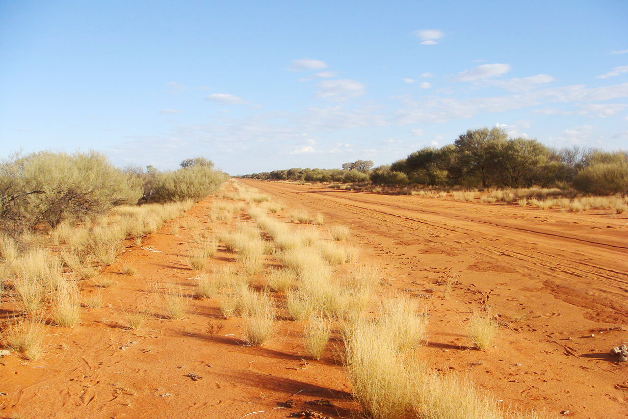
Queensland is better watered than many of the other Australian states. The Great Dividing Range sends many short rivers to the Pacific, and a few long ones southwestward, lost into the ground or shallow lakes, unless feeding the river Darling. A plateau goes westward from the Great Dividing Range, and the western half of Queensland is a great dry undulating plain.
What is the nature of Queensland like?
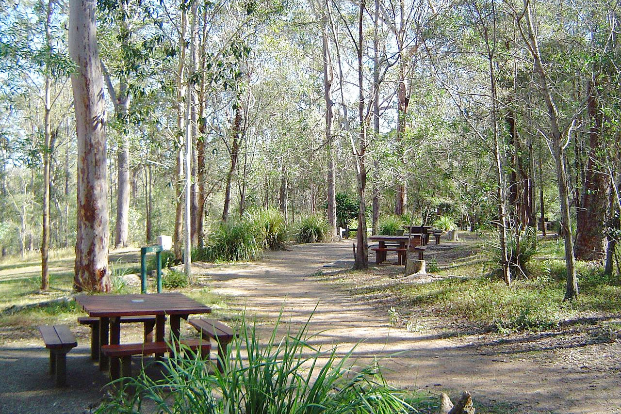
The great western plains are generally treeless, though covered with grass and shrubs. The valleys along the coast are very fertile, and here we find a luxuriant tropical forest growth. Though the predominating species are Australian types. such as Eucalyptus and Acacia, the flora of Queensland is intermixed with southeast Asian species, notably among the cycads and palms. Here grow the screw-pines (Pandanus) and the Araucarias, while the coasts and tidal streams are lined with mangrove thickets.
What is the climate of Queensland like?
Though lying to a great extent within the tropics, Queensland enjoys a comparatively moderate climate. The temperatures in the southeast are typically temperate to sub-tropical, becoing hotter in the arid western plains. The rainfall though is very uneven. The east coast is humid, and there is usually plenty of rain as you go north from Brisbane. Rainfall decreases very rapidly toward the interior, especially west of the mountains.
| Climate data for Brisbane (1999–2020) | |||||||||||||
|---|---|---|---|---|---|---|---|---|---|---|---|---|---|
| Month | Jan | Feb | Mar | Apr | May | Jun | Jul | Aug | Sep | Oct | Nov | Dec | Year |
| Average high °C (°F) | 30.5 (86.9) | 30.2 (86.4) | 29.1 (84.4) | 27.1 (80.8) | 24.6 (76.3) | 22.0 (71.6) | 22.1 (71.8) | 23.4 (74.1) | 25.7 (78.3) | 27.0 (80.6) | 28.3 (82.9) | 29.6 (85.3) | 26.6 (79.9) |
| Daily mean °C (°F) | 26.1 (79.0) | 25.8 (78.4) | 24.7 (76.5) | 22.2 (72.0) | 19.2 (66.6) | 16.9 (62.4) | 16.2 (61.2) | 17.1 (62.8) | 19.7 (67.5) | 21.7 (71.1) | 23.5 (74.3) | 25.0 (77.0) | 20.7 (69.3) |
| Average low °C (°F) | 21.7 (71.1) | 21.4 (70.5) | 20.2 (68.4) | 17.4 (63.3) | 13.8 (56.8) | 11.9 (53.4) | 10.3 (50.5) | 10.8 (51.4) | 13.8 (56.8) | 16.4 (61.5) | 18.8 (65.8) | 20.4 (68.7) | 16.4 (61.5) |
| Average precipitation mm (inches) | 140 (5.5) | 150 (5.9) | 115 (4.5) | 61 (2.4) | 62 (2.4) | 67 (2.6) | 25 (1.0) | 36 (1.4) | 28 (1.1) | 78 (3.1) | 91 (3.6) | 129 (5.1) | 1,011 (39.8) |
| Source: Australian Bureau of Meteorology | |||||||||||||
.jpg) Street scene at The Lakes, Cairns
Street scene at The Lakes, Cairns
.jpg&oldid=498722298)
The official websites
Queensland
The Sunshine State
| Location: | Northeastern Australia |
| Coordinates: | 21° 30′ S, 145° 30′ E |
| Size: | • 2160 km N-S; 1660 km E-W • 1340 miles N-S; 1030 miles E-W |
| Terrain: | Interior desert plateau separated from a coastal plain by eastern highlands |
| Climate: | The coasts have a subtropical climate with hot summers. The interior is arid desert |
| Highest point: | Mount Bartle Frere 1,622 m / 5,322 ft |
| Forest: | 30% (2018) (source) |
| Population: | 5,206,400 (2020) |
| Population density: | Very low (2.8/km²) |
| Capital: | Brisbane |
| Languages: | English |
| Human Development Index: | Very High (0.937) |