.jpg)
The Geography of
Botswana
Why visit Botswana?
Botswana is a beautiful country. The landscape ranges from the Okavango Delta to the Kalahari Desert, and it contains an abundance of wildlife, from lions and elephants to giraffes and zebras. The scenery is incredibly picturesque and the people are friendly and welcoming. Botswana offers a variety of fascinating activities, such as the country's famous safari tours.
Contents
Map
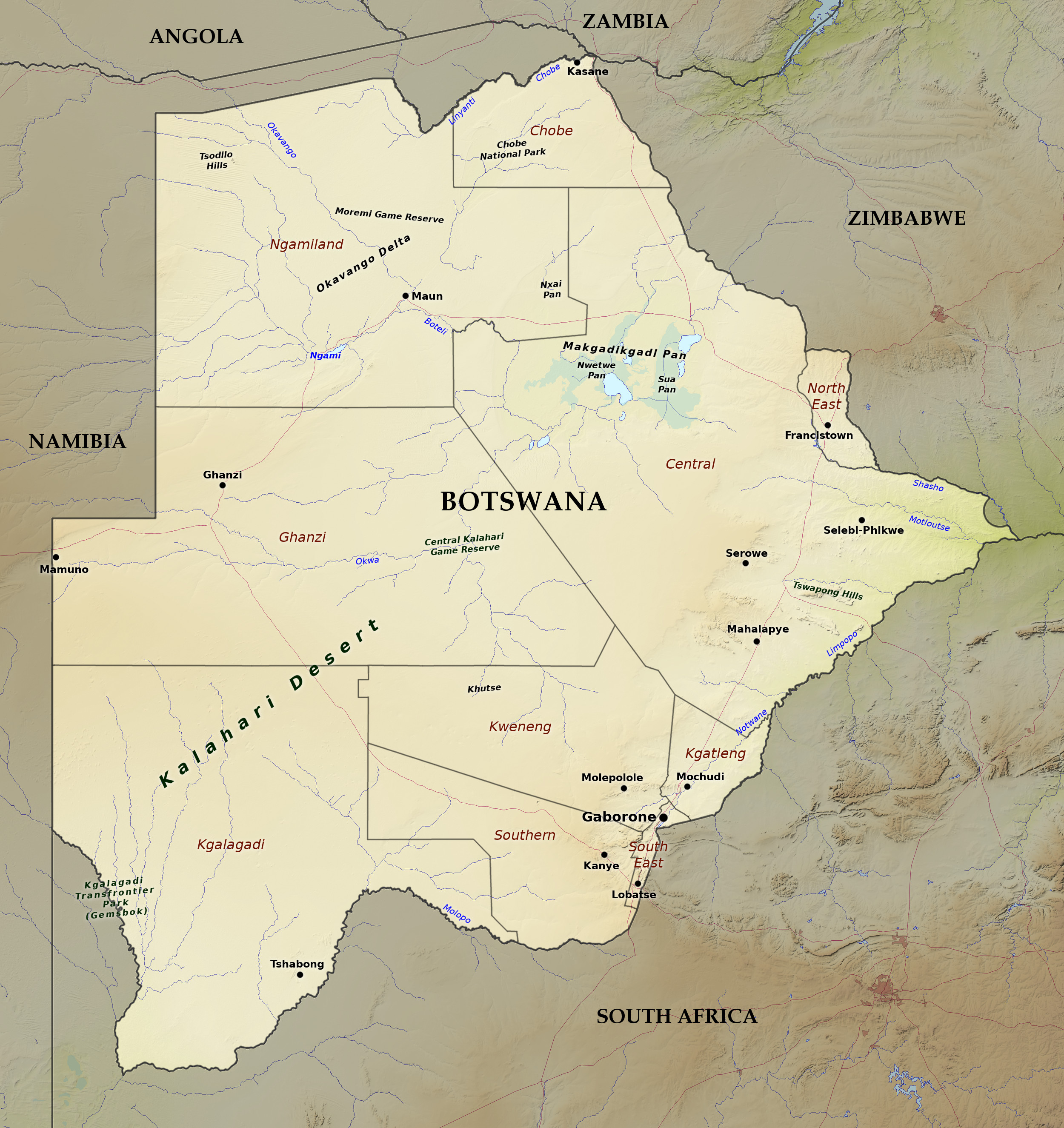 Relief map of Botswana
What is the landscape of Botswana like?
Botswana is a vast plateau at an altitude of around 1,000 meters (3,300 feet). A large part of the country is covered with grass or shrub, chiefly acacia.
Southeast
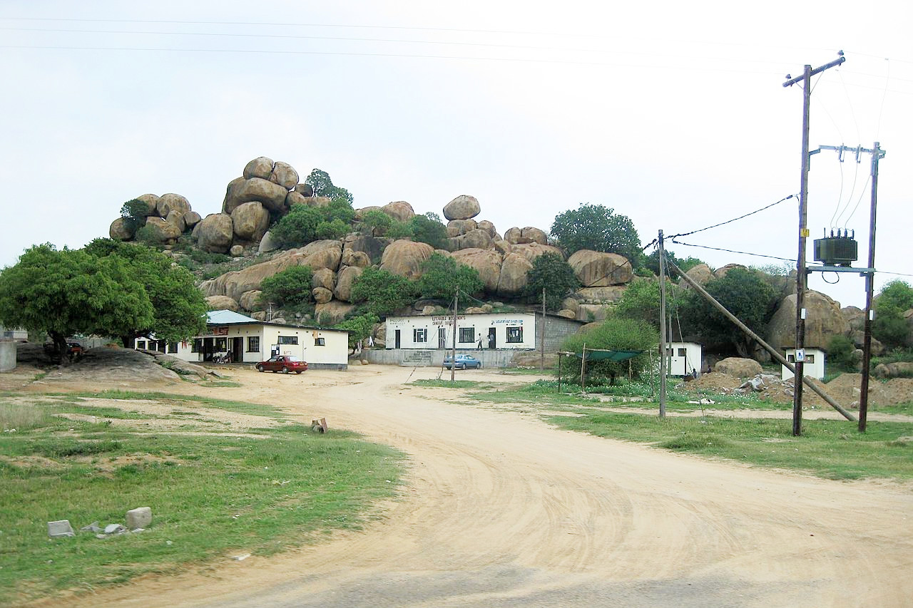
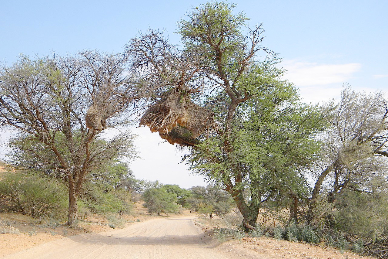
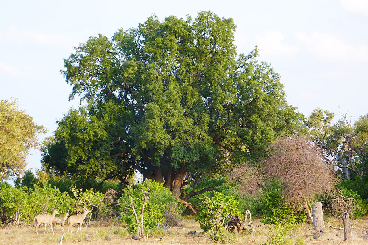
The east and southeast portion of the country is where the large proportion of the population live, inhabiting small towns within 100 miles of the border with South Africa. This region has the most pleasant hill scenery in Botswana, with a series of rocky hills along the border reaching nearly 1,500 meters (4,900 feet). Elsewhere the region is largely undulating plains rich in grasses, shrubs and trees supporting a large amount of wildlife. Some of the rivers of this region, such as the Notwane and the Motloutse, both tributaries of the Limpopo, flow only during the annual rains.
Northeast
In the northern part of Central District is the great Makgadikgadi salt pan, which drains a vast area. The permanent marsh land covers a region 60 miles from south to north and from 30 to 60 miles east to west. In the rainy season it receives a large volume of water, and the marsh then becomes a great lake, the water surface stretching beyond the horizon.
North (Chobe)
The Chobe District, in the far north of the country, is also notable for its scenic beauty especially along the Linyanti-Chobe River, which flows into the Zambesi 60 miles west of the Victoria Falls (in Zambia and Zimbabwe). The Chobe National Park is a region of great natural beauty, and is home to very large numbers of big game animals which tend to concentrate towards the Chobe River during the dry season.
Northwest (Ngamiland)
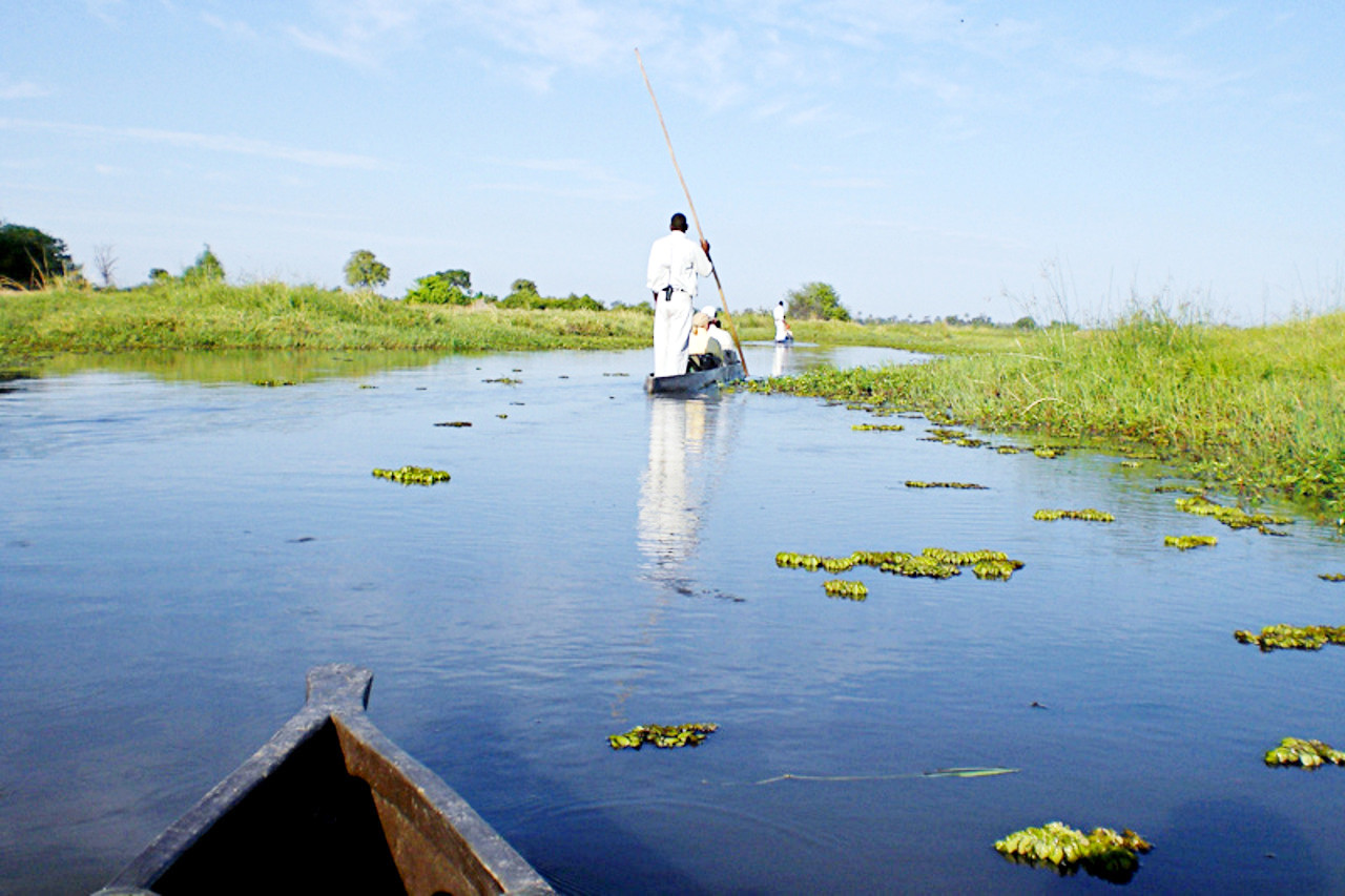
The North-West District or Ngamiland is known for its beautiful scenery, especially in the Okovango Delta into which the great Okovango River, flowing inland from the northwest, pours its flood waters in the rainy season. The Okovango river spreads over a great inland delta forming the Ngami Swamps, and this is a land of lush vegetation and tortuous watercourses, about 180 miles across. The overflow spills into Lake Ngami during the rains and from there heads eastwards to the Botletle river and the great Makgadikgadi salt pan.
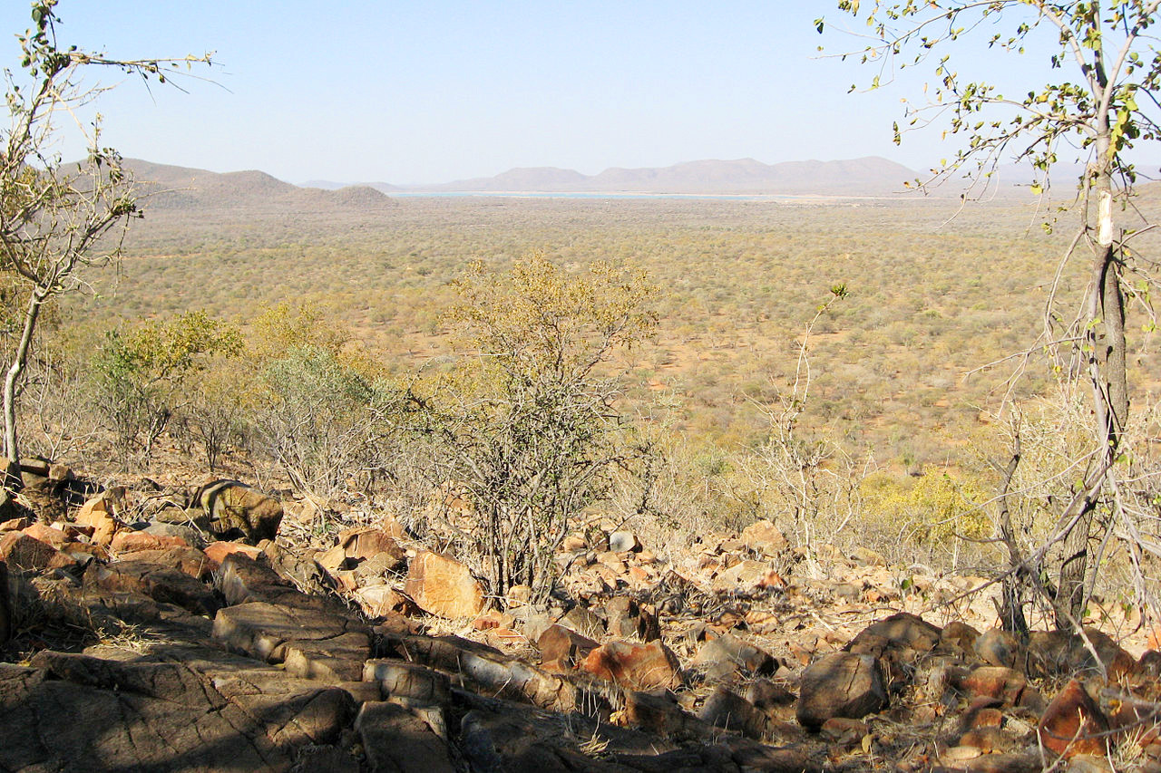
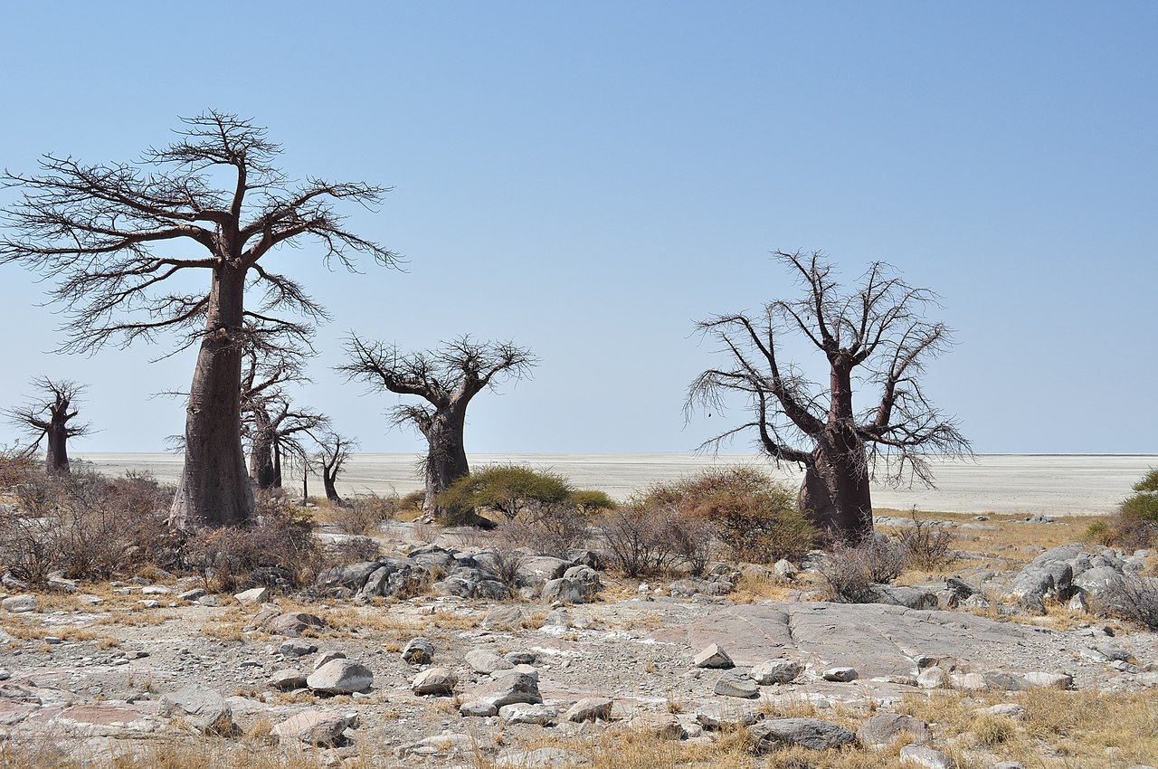
Southwest (Kalahari Desert)
Extending over most of the western areas south of Ngamiland is the Kalahari Desert, a level tract extending over 300 miles and bounded by the Botletle River and the Makgadikgadi Salt Pans in the north. This is not a desert in the usual sense of the word, but consists of vast expanses of undulating grasslands on sandy soil with outcrops of limestone here and there and many acacia-thorn trees. In large areas there is dense bush or stands of taller trees. The only truly desert country is found in parts of the extreme south-west corner, where there is little vegetation of any kind and sand dunes occur. To the north and east, the Kalahari Desert gradually merges into the northern and eastern bush-veld.
What is the nature of Botswana like?
Plants
In the eastern portion of the country are stretches of grassland, rich shrubs and trees. Along the eastern border of Botswana and extending across the Central District there is a relatively dense bush with mopane trees. Other parts are covered in African bush consisting of tufts of tall coarse grass, berry-yielding bushes, thorny acacias, with the ground between bare or covered with small creepers and tubers. Even the so-called desert consists in the most part of grass and acacia-thorn scrub.
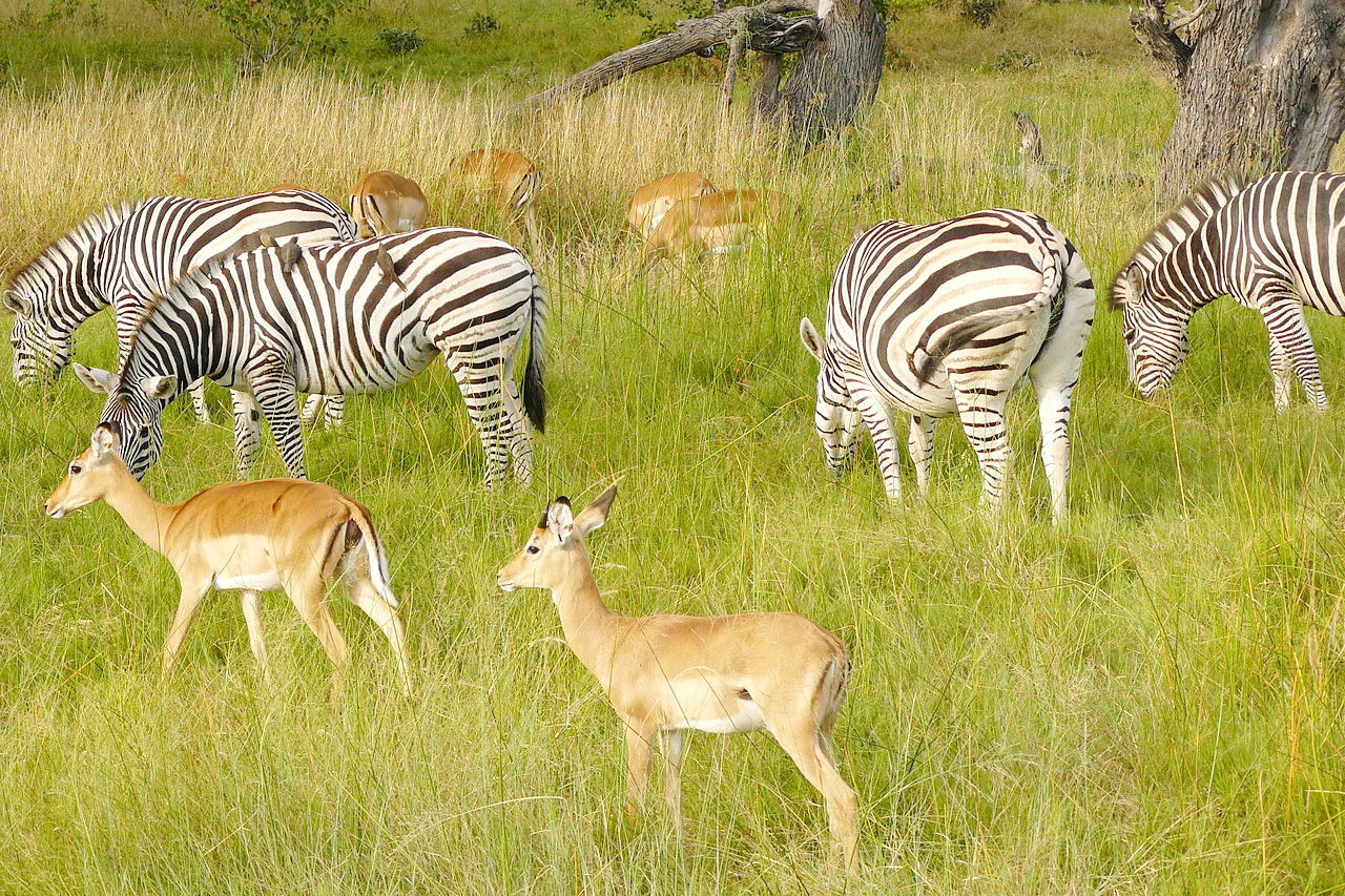
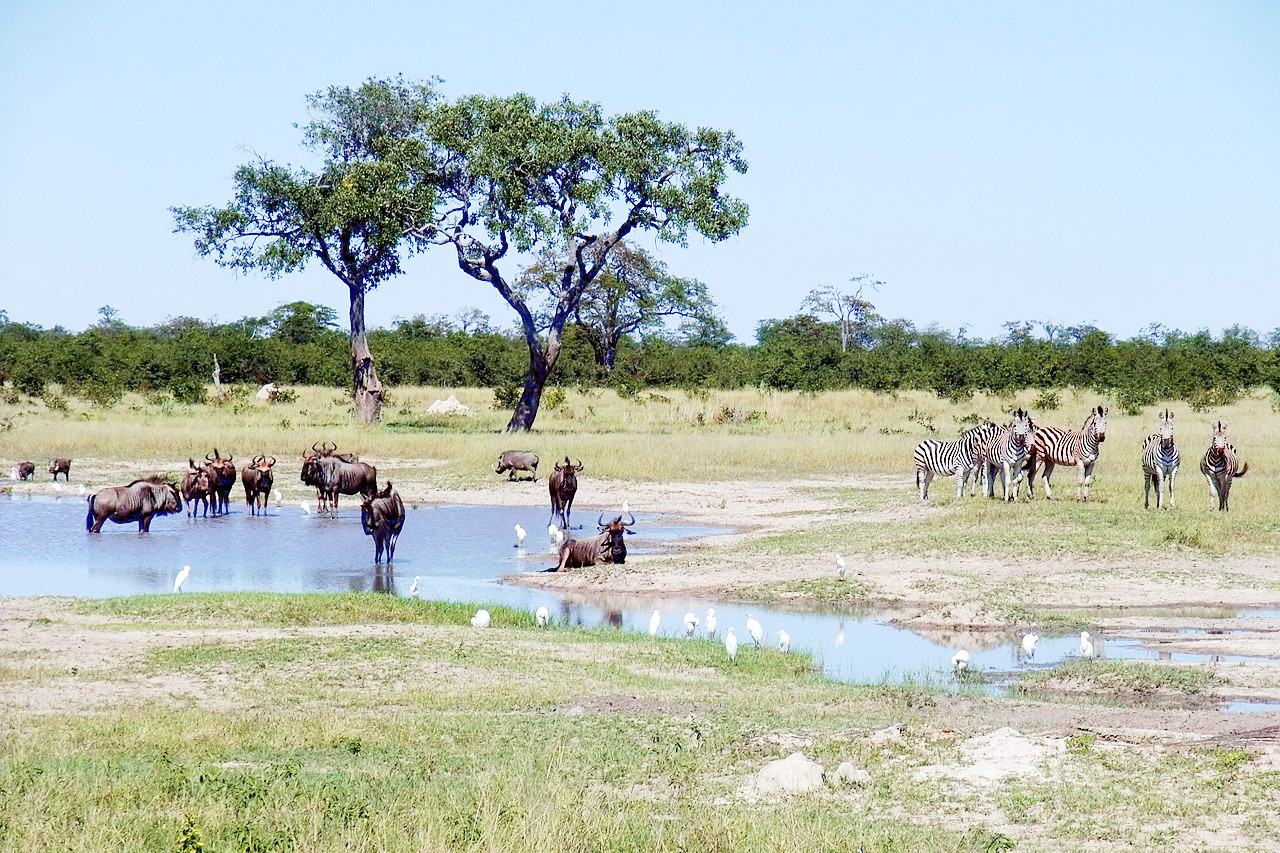
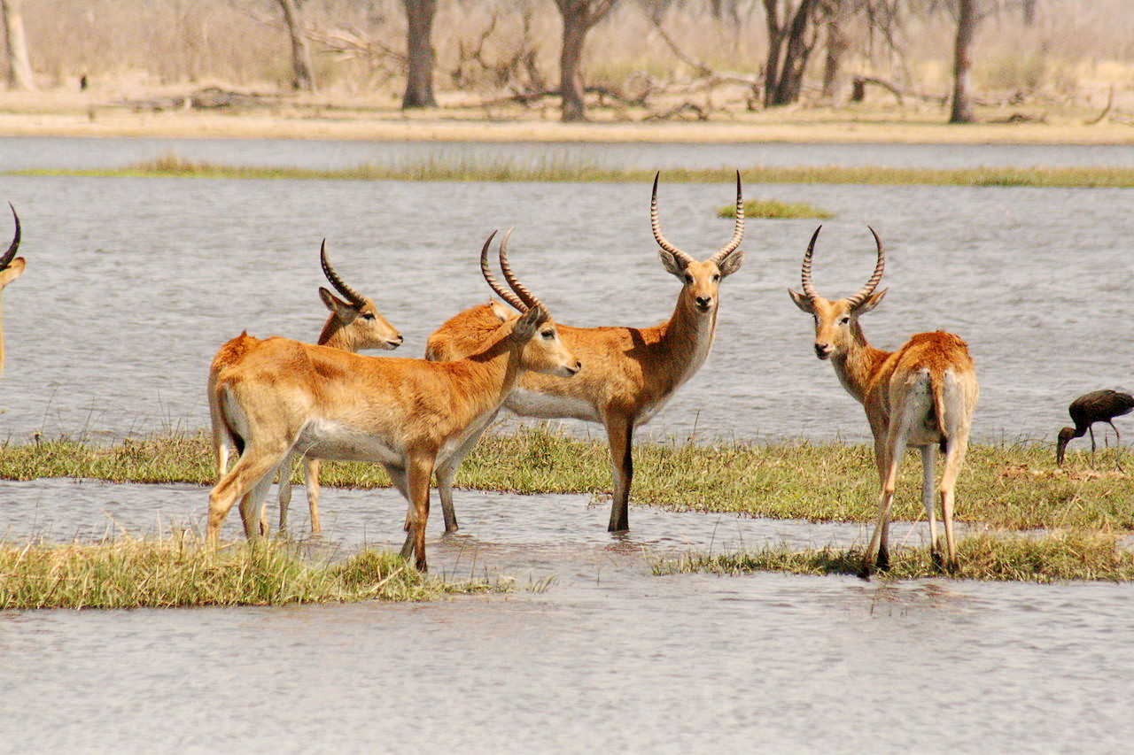
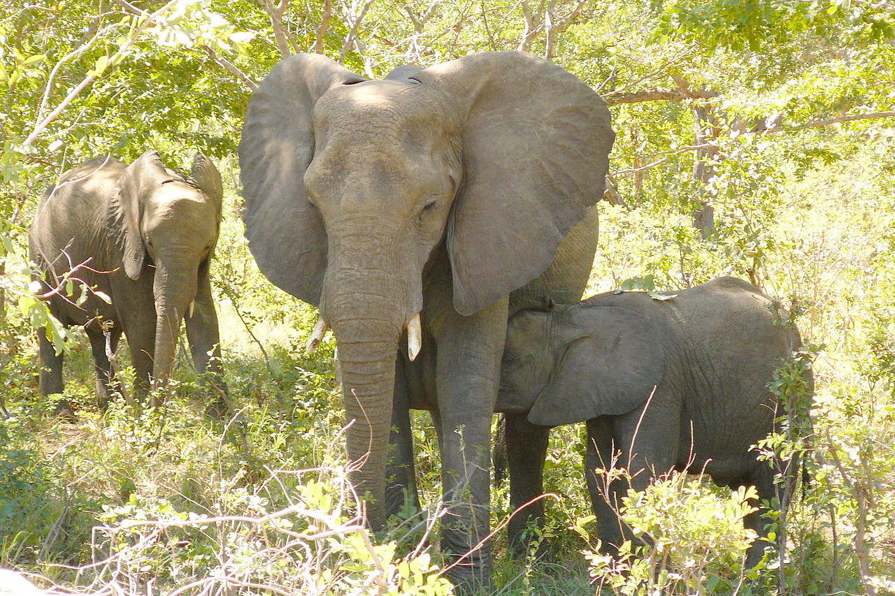
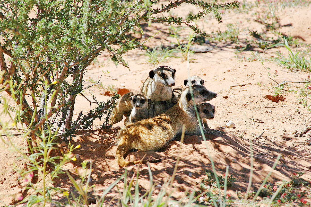
Animals
.jpg&oldid=609369824)
.jpg&oldid=381129966)
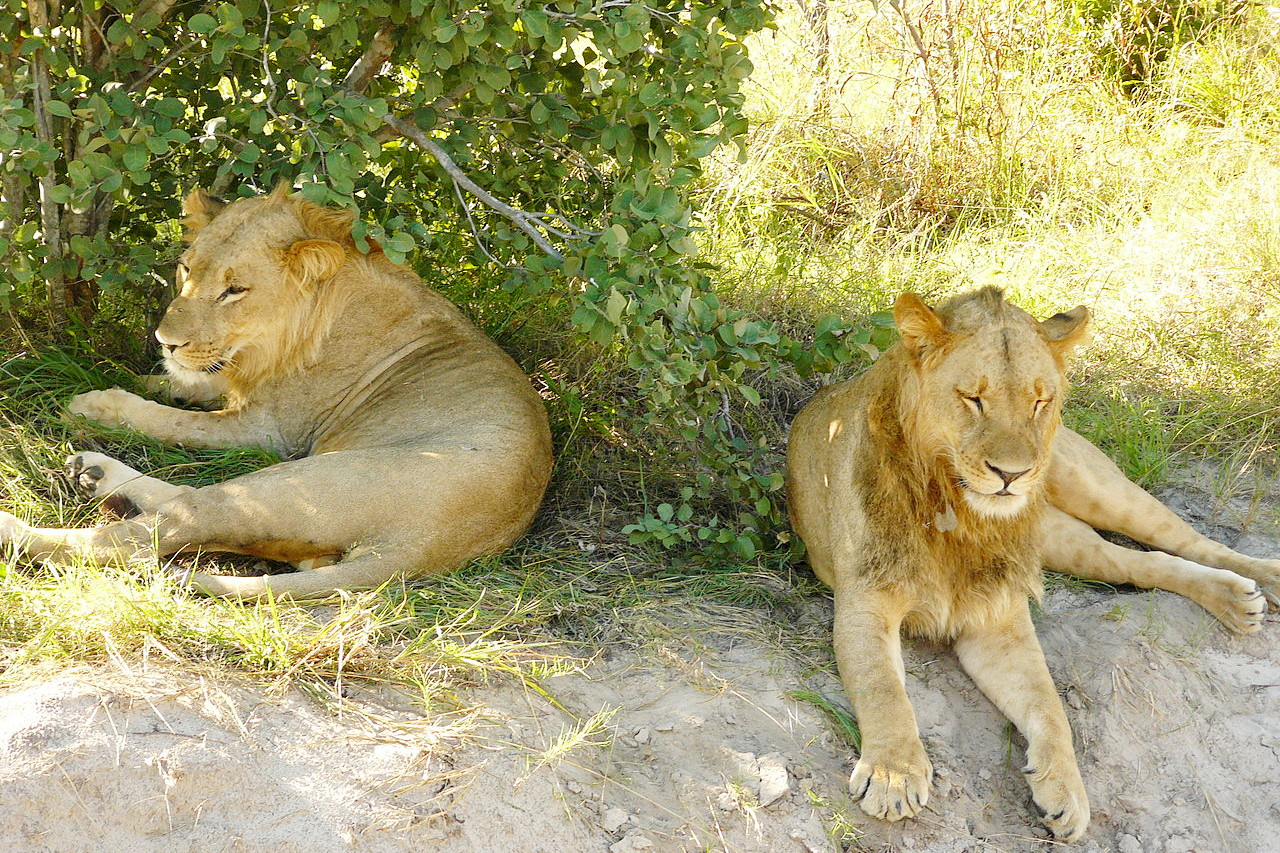
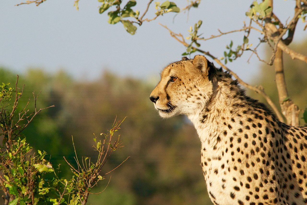
For the wide variety of its animals, Botswana is a major attraction to tourists. Large animal reserves have been formed around the Kalahari Desert and in the north. Botswana is still the home of the lion, leopard, hyena, jackal, elephant, hippopotamus, rhinoceros, buffalo, ostrich, and the giraffe. Of the many species of antelope there are eland, roan, sable, gemsbok, lechwe, sitatunga, kudu, hartebeest, and bushbuck. The crocodile is found in some of the rivers. Many of the rivers are well stocked with fish—in those containing water in the rainy season only, the fish survive when the bed is dry by burrowing deeply in the ooze before it hardens.
What is the climate of Botswana like?
See our main article: The Climate of Botswana
The climate of Botswana is generally sub-tropical. In the hilly areas of the southeast the summer (October to April) is hot, but is tempered by a prevailing north-east breeze which generally springs up in the late evening. During the winter (May to September) the days are pleasantly warm and the nights cool with occasional frosts. In other parts of the country, winter is pleasantly warm by day and comfortably cool at night, but in summer, the days are very hot and the nights very warm. In August the annual seasonal winds from the West Coast begin, and with every drop of humidity extracted during the Kalahari crossing, sweep across the country carrying volumes of sand and dust.
The summer months are the rainy season, usually beginning in October and ending in April. The completely dry months are normally May to September. Rainfall is moderate in the east of the country (500 mm, 20 inches), but to the west, in the Kalahari Desert, it is erratic, localised, and highly variable.
| Climate data for Gaborone (1981–2010) | |||||||||||||
|---|---|---|---|---|---|---|---|---|---|---|---|---|---|
| Month | Jan | Feb | Mar | Apr | May | Jun | Jul | Aug | Sep | Oct | Nov | Dec | Year |
| Average high °C (°F) | 32.7 (90.9) | 32.1 (89.8) | 30.8 (87.4) | 28.4 (83.1) | 25.6 (78.1) | 23.1 (73.6) | 22.9 (73.2) | 26.2 (79.2) | 30.0 (86.0) | 32.0 (89.6) | 32.3 (90.1) | 32.5 (90.5) | 29.1 (84.4) |
| Daily mean °C (°F) | 25.7 (78.3) | 25.2 (77.4) | 23.7 (74.7) | 20.6 (69.1) | 16.8 (62.2) | 13.7 (56.7) | 13.5 (56.3) | 16.9 (62.4) | 21.2 (70.2) | 24.0 (75.2) | 24.7 (76.5) | 25.3 (77.5) | 20.9 (69.6) |
| Average low °C (°F) | 19.7 (67.5) | 19.3 (66.7) | 17.4 (63.3) | 13.5 (56.3) | 8.3 (46.9) | 5.0 (41.0) | 4.4 (39.9) | 7.5 (45.5) | 12.3 (54.1) | 16.3 (61.3) | 17.7 (63.9) | 18.8 (65.8) | 13.4 (56.1) |
| Average precipitation mm (inches) | 143 (5.6) | 82 (3.2) | 74 (2.9) | 30 (1.2) | 8.3 (0.33) | 7.5 (0.30) | 1 (0.0) | 0.9 (0.04) | 5.8 (0.23) | 5.8 (0.23) | 58 (2.3) | 71 (2.8) | 487.3 (19.13) |
| Source: African Regional Climate Centre | |||||||||||||
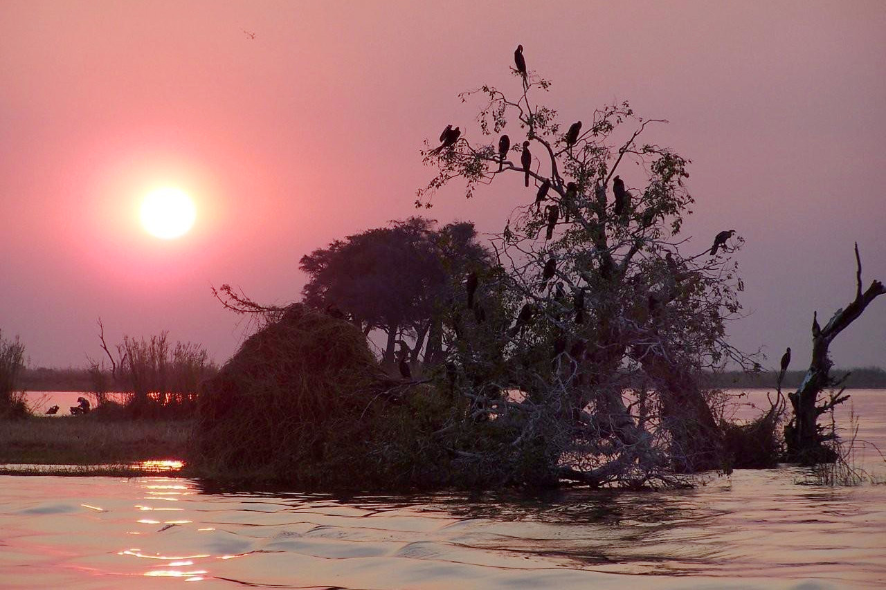 Sunset, Chobe River
The official websites
Botswana
Africa's finest. Naturally
| Location: | Southern Africa, north of South Africa |
| Coordinates: | 22° 00′ S, 24° 00′ E |
| Size: | • 1,100 km N-S; 960 km E-W • 690 miles N-S; 600 miles E-W |
| Terrain: | Predominantly flat to gently rolling tableland; Kalahari Desert in southwest |
| Climate: | Semiarid; warm winters and hot summers |
| Highest point: | Monalanong Hill 1,494 m / 4,902 ft |
| Forest: | 19.8% (2011 est.) |
| Population: | 2,317,233 (July 2020 est.) |
| Population density: | Very Low (3.7/km²) |
| Capital: | Gaborone |
| Languages: | Setswana 77.3%, Sekalanga 7.4%, Shekgalagadi 3.4%, English (official) 2.8%, Zezuru/Shona 2%, Other: Sesarwa, Sembukushu, Ndebele |
| Human Development Index: | High (0.735) |
| Currency: | Pula |