The Geography of
Tanzania
Why visit Tanzania?
Tanzania is a beautiful country with diverse landscapes and cultures. The landscape is extremely varied, changing from coastal mangrove swamps to tropical rain forests and from rolling savannahs and high arid plateaus to mountain ranges culminating at Mount Kilimanjaro, and all bounded to the west by the immense faults of the Great Rift Valley. With over fifty ethnic groups and scores of languages spoken, Tanzania offers something for everyone. There are many wonderful places to visit. The wildlife of the Serengeti is an incredible experience, and Dar-es-Salaam is an interesting city with a rich cultural heritage. Zanzibar is a lively city with a fascinating history and unique neighborhoods.
Contents
Map
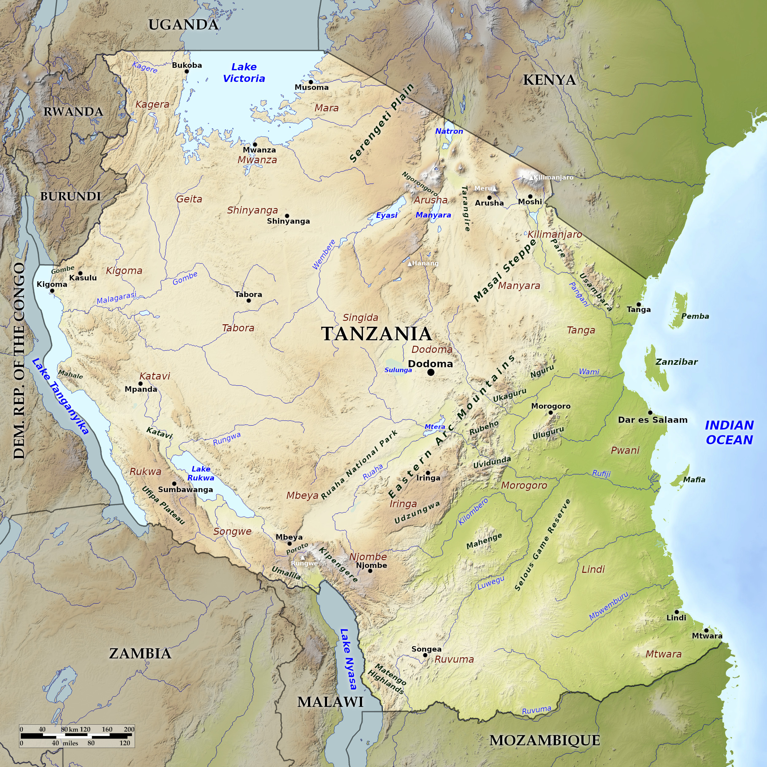 Relief map of Tanzania
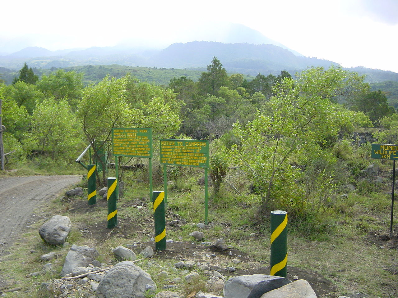
What is the landscape of Tanzania like?
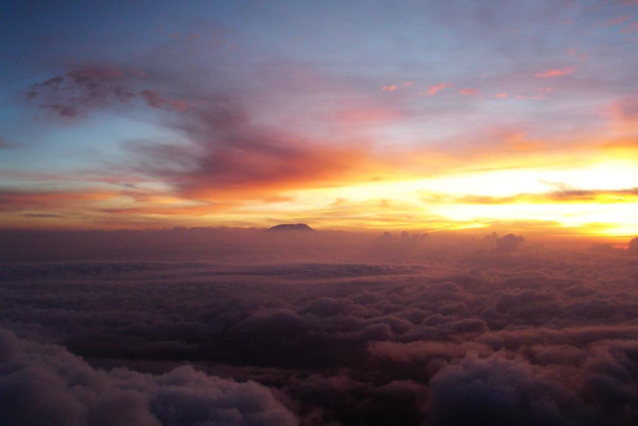
Tanzania has a huge variety of scenery. The coast has beaches of white coral sand, and the interior is a high arid plateau; but the highlands are cool, temperate and fertile, and the country has the highest mountain in Africa, (Mount Kilimanjaro, 5,895 meters or 19,341 feet) as well as several other huge mountains to the north and south.
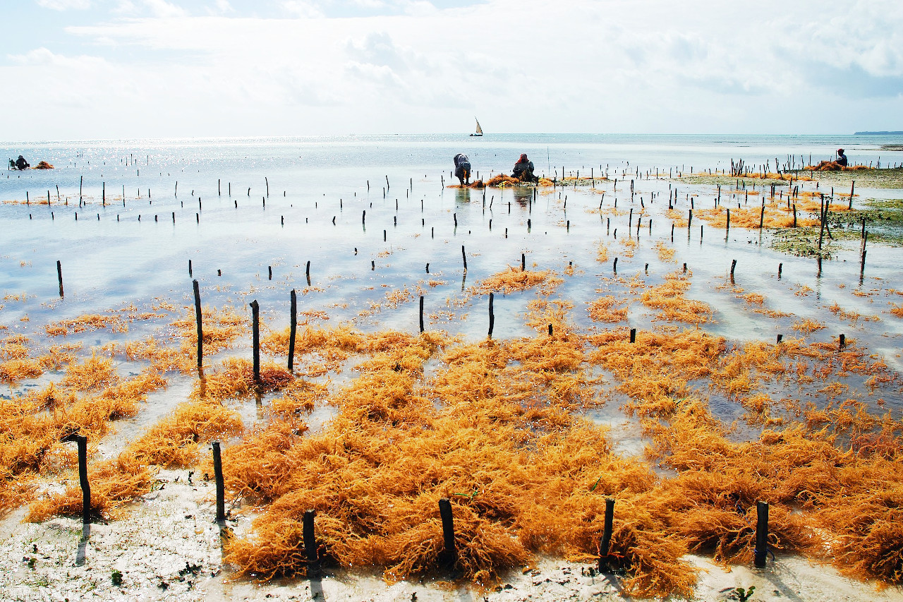
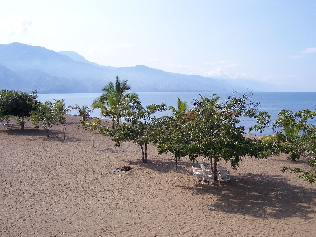
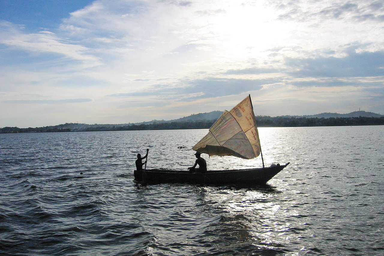
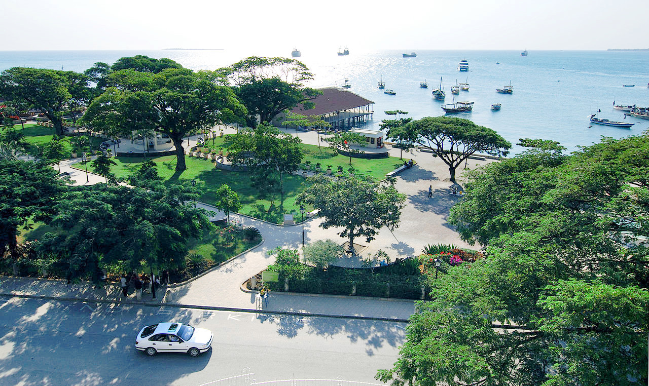
Coast and islands
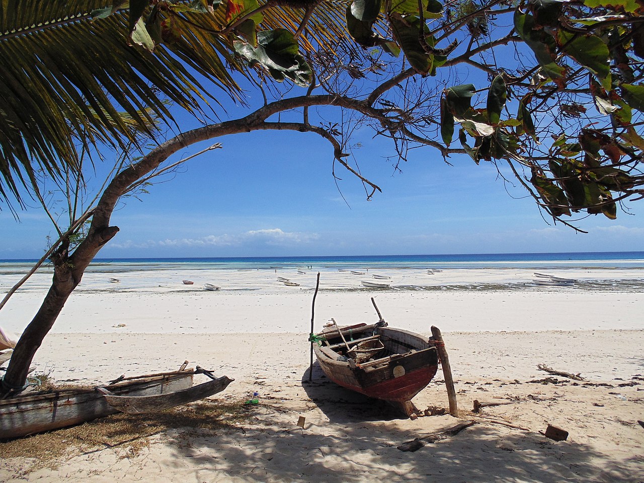
Tanzania has a coast plain which is from 10 to 30 miles wide and 620 miles long. The coast (often known as the Swahili coast) is generally low, partly sandy, and covered with dense bush or mangroves. The beaches are chiefly composed of white coral sands. Coco palms and mango trees grow around the settlements.
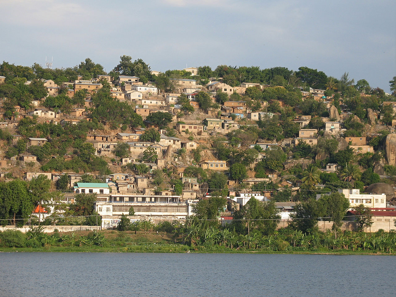
Around twenty miles from the coast are three large islands, Pemba, Zanzibar, and Mafia. These islands, constitute a sort of outer coastline resting on a foundation of coral reefs. They are separated by shallow waters mostly under 50 meters (160 feet) and strewn with numerous reefs. Zanzibar, the most important island, is 47 miles long and 20 miles wide. In times past the island was of great commercial importance. Its geographical position has made it the center of trade between the African continent, India, Arabia and the Persian Gulf, as well as Madagascar and Mauritius.
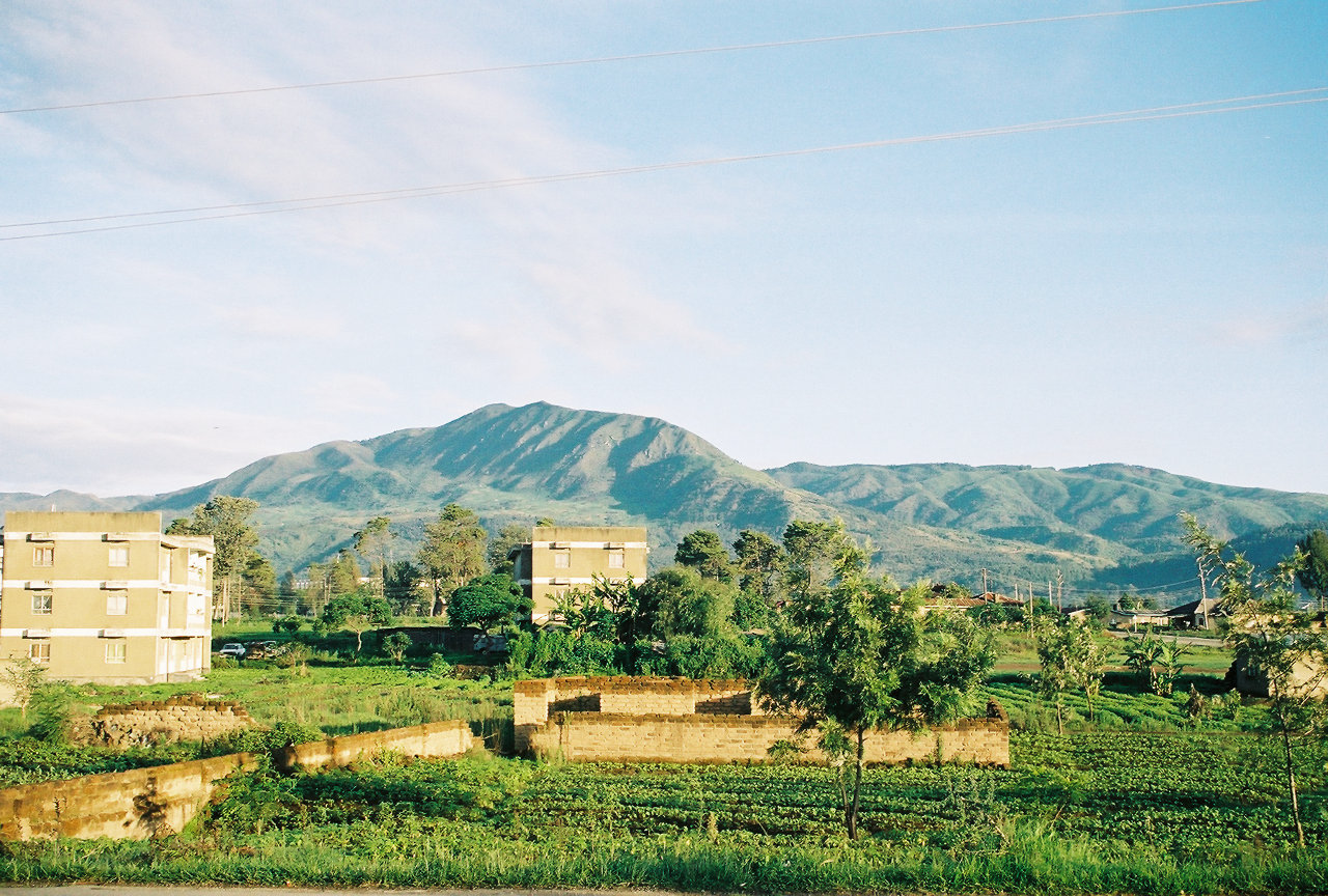
Eastern mountains
As you head inland, the land steadily rises. There is a wide broad elevated plain with moderate hills in the south, and a rather narrower one in the south. This is bordered by the precipitous Eastern Arc Mountains which lift you up onto the interior plateau of Central Africa. In the north, and closest to the coast, are the Usambara highlands and the Pare mountains, with peaks between 2,000 to 2,500 meters (6,500–8,200 feet) high. To the south, and on the eastern edge of the plateau, are the mountainous ranges of Nguru, Ukaguru, Rubeho, Uluguru, Uvidunda, and Udzungwa; these generally have high points between 2,000 to 2,700 meters (6,500–8,850 feet). These chains present great irregularities in their general outlines; in many places they throw off transverse spurs amid a chaos of crests. Somewhat separated from these are the Uluguru mountains in the center, and the Matengo highlands in the far south.
In southwest Tanzania lies the Kipengere Range, also known as the Livingstone Mountains. This is a high plateau forming the eastern border of the Rift Valley of Lake Nyasa at the northern end of the lake. They form a comparatively narrow belt of country, which falls sharply to the east as well as to the west. The northern end is marked by an escarpment falling to the Ruaha valley, which is regarded as a north-eastern branch of the main Rift Valley. Mount Rungwe, an inactive volcano, reaches an altitude of 2,981 meters (9,780 ft). The uplands are generally clothed in rich grass, forest occurring principally in the hollows, while the slopes towards the lake are covered with scrub.
The East African Rift, the great continental rift zone in East Africa, passes up from the south through Lake Nyasa here. It divides into two branches when it reaches Tanzania. The western branch runs via Lake Rukwa and then to Lake Tanganyika. The eastern branch heads up the Ruaha valley, and then traverses the northern plateau spreading into several side valleys.
Northern mountains
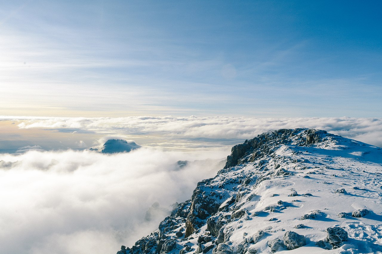
On the northern border, to the east of the African Rift rises the extinct volcano Kilimanjaro, the highest mountain in Africa at 5,895 meters (19,341 feet). Though completely isolated it is but one of several mountains which crown the eastern edge of the great plateau of equatorial Africa. On it rise the two principal summits, Kibo in the west, Mawenzi in the east. Kibo, the higher, is a truncated cone with a nearly perfect extinct crater, and marks a comparatively recent volcanic period; while Mawenzi (5,149 meters or 16,893 feet) is the very ancient core of a former summit of which the crater walls have eroded. The two peaks, about 7 miles apart, are connected by a saddle or plateau, about 4,250 meters (14,000 feet) in altitude, below which the vast mass slopes with the form of a typical volcano to the plains below. The lava slopes of the Kibo peak are covered to a depth of some 60 meters (200 feet) with an ice-cap, which, where ravines occur, takes the form of genuine glaciers.
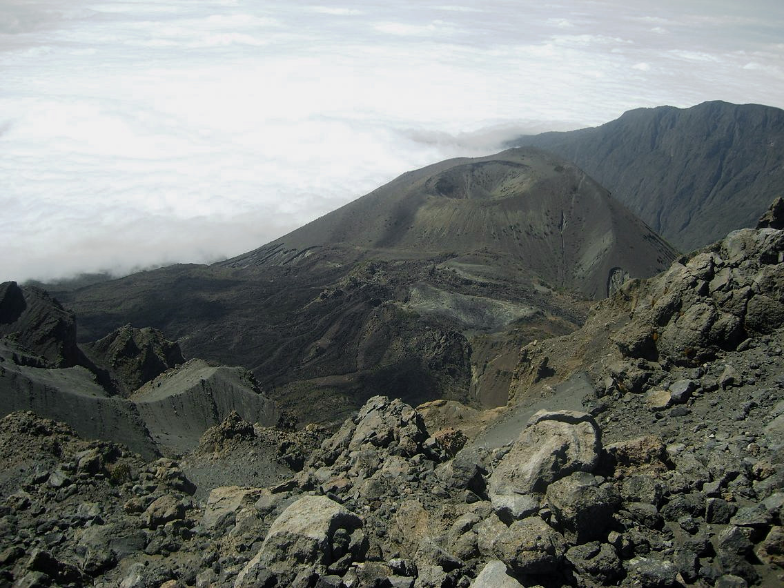
About 40 miles west of Kilimanjaro is Mount Meru (4,562 meters / 14,968 feet), another volcanic peak, with a double crater. The greater steepness of its sides makes Meru in some aspects a more striking object than its taller neighbour. North-west of these two volcanos is a sheet of water known as Lake Natron, a lake of concentrated caustic alkaline brine.
Center
The interior plateau of Tanzania is a vast region of semi-arid savanna—the east winds that bring the rain-charged clouds from the sea being stopped by the mountain ranges. There are short rainy seasons which are often erratic, with fairly widespread drought in one year out of four. To the dryness of the air are added the sultry heat of the day and cool nights. Whirlwinds of dust are often developed on the elevated plains, sweeping furiously over the land.
Great Lakes
In the southwest of Tanzania, Lake Rukwa, a shallow lake lying 800 meters (2,600 feet) above the sea, is part of the northwest continuation of the rift-valley. The sides of the valley here run in steep parallel walls 30 to 40 miles apart from southeast to northwest. Its extent varies with the rainfall of each year.
Lake Tanganyika is a vast lake, the longest freshwater lake in the world, measuring just over 400 miles with a general breadth varying from 30 to 45 miles. It lies at an altitude of about 800 meters (2,600 feet) above the sea, and occupies the western valley of the great central rift-valley. The lake is fed by a number of rivers and small streams which descend from the surrounding highlands. The lake is subject to occasional storms, especially from the south, which produce heavy waves. The cloud and thunder and lightning effects are very impressive, and the scenery of the lake and its shores are stunning.
Vegetation is generally luxuriant, and forest clothes portions of the mountain slopes. The lake lies on the dividing line between the floral regions of East and West Africa, and oil-palms are found on its shores. The Kalambo river, a comparatively small river flows into the southern end of Tanganyika; not far from its mouth there are the magnificent Kalambo Falls, a large volume of water falling 772-foot (235 m) sheer over a rocky ledge of horse-shoe shape.
In the northern part of Tanzania is Victoria Nyanza, the largest lake in Africa. Its greatest length, north to south is 250 miles, its greatest breadth 200 miles. It fills a depression in the central part of the great plateau and has an elevation of about 1,100 meters (3,700 feet) above the sea. It contains many groups of islands, the majority being near the coast-line. The lake is full of reefs, many just below the surface of the water, which is clear and very fresh. Victoria Nyanza is also remarkable for the severe and sudden storms which sweep across it.
What is the nature of Tanzania like?
Plants
On the coastal plains, which are well-watered, there is a rich tropical bush of shrubs and trees, with mangrove along the coasts. Elsewhere the trees are rarer and often grouped in picturesque copses on the plains of coarse tall grass. In marshy areas the reeds and tall grasses grow to a height of 3.6 to 4.2 meters (12–14 feet), forming a dense jungle. Hyphaene palms are frequent, as well as various kinds of mimosas. Coco-palms, mango trees, and bananas have been planted in great numbers.
The highlands are covered especially with acacias and other plants of low growth interspersed with gigantic tamarinds, sycamore figs, or calabash trees. The slopes of the highlands which face the coastal rains are in some places covered with thick forest. The cotton tree (Bombax ceiba), miombo, tamarisk, and copal are common, besides banyan trees and fan palms. The interior plateau is partly grassland without bush and forest, partly steppe covered with stunted drought-resisting trees and thorn-shrubs. Nevertheless, in these regions some large trees are still met, a few calabashes or a solitary baobab or gigantic euphorbia.
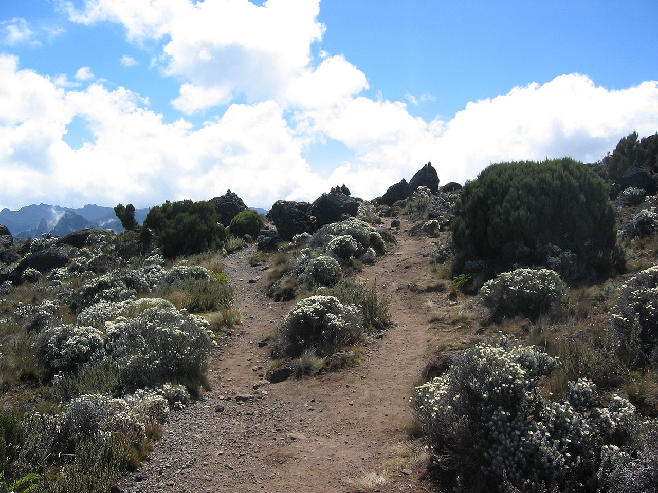
Mountain forests occur chiefly between 1,500 and 3,000 meters (5,000–10,000 feet) on Kilimanjaro, Meru, and in the Usambara, Udzungwa, and the Kipengere mountains. The vegetation which encircles Kilimanjaro and its neighbouring peaks can seem all the more beautiful in contrast to the arid plains below. The lovely tree-ferns, which are intermingled with the vegetation of the lower slopes, ascend as high as 2,400 meters (8,000 feet). Higher up they are mostly replaced by giant heaths growing to the size of tallish trees; and here also the stems and branches of the trees are densely hung with mosses, orchilla-lichen, or delicate epiphytic ferns. Farther up still the flowering vegetation is represented only by some low plants, such as dwarf heathers, beyond which nothing is seen except red or green lichens, yellowish sands, rocks, and snowfields.
Animals
.jpg&oldid=274939703)
.jpg&oldid=334455755)
.jpg&oldid=379792895)
.jpg)
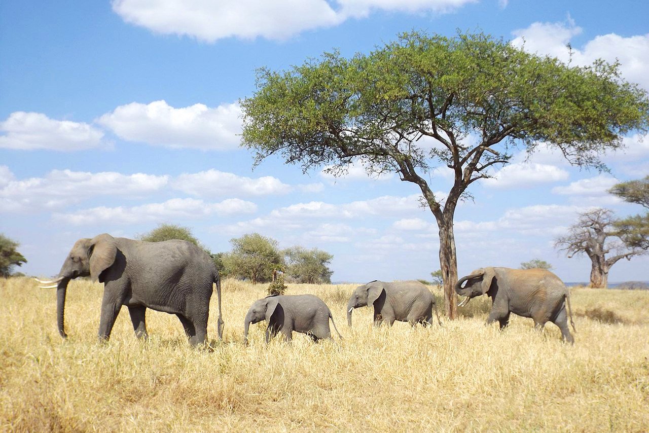
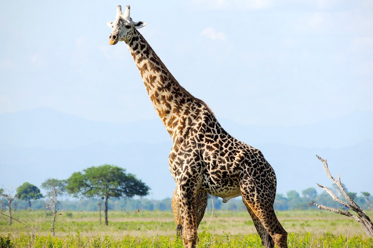
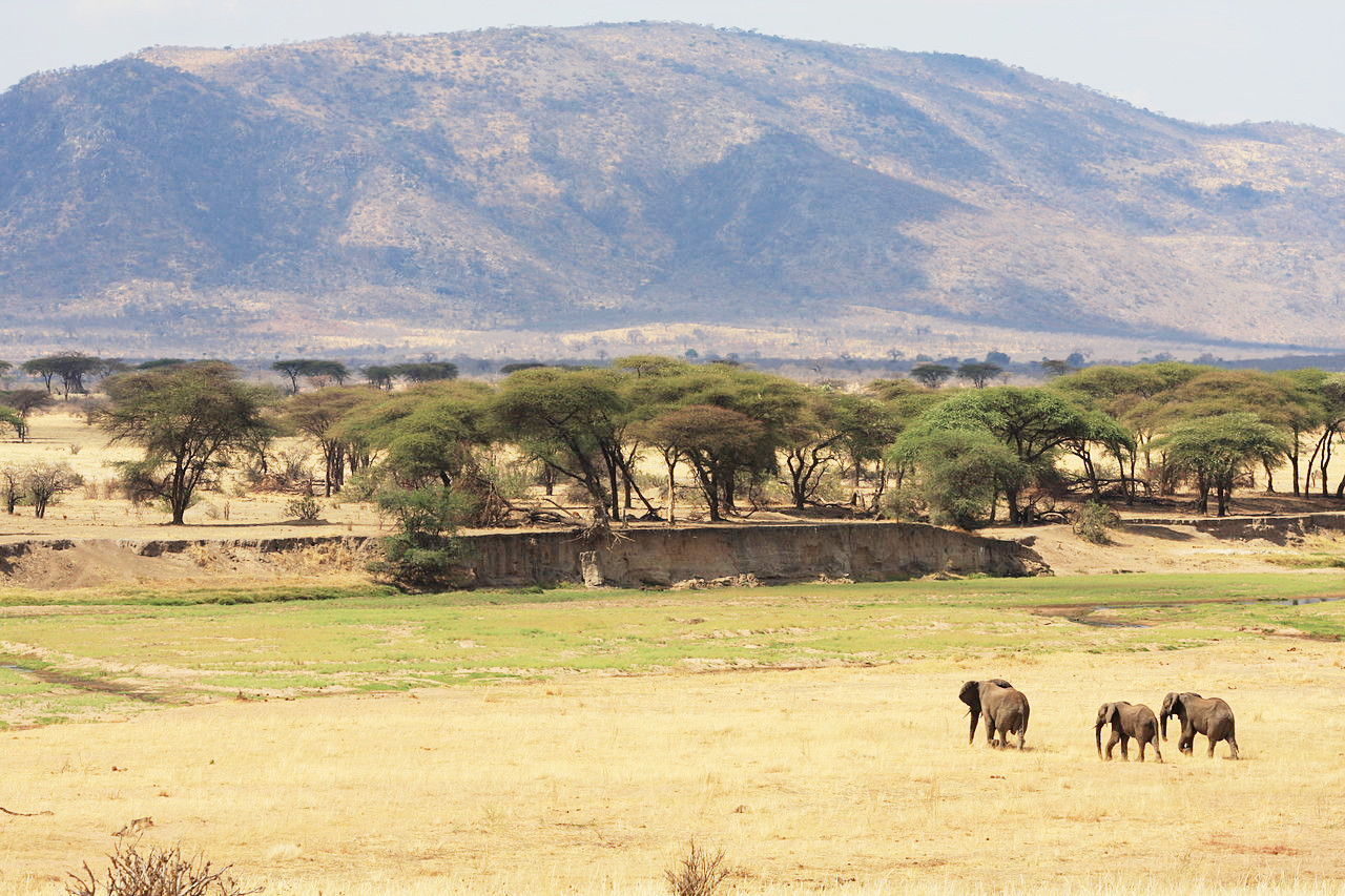
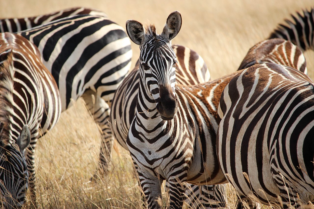
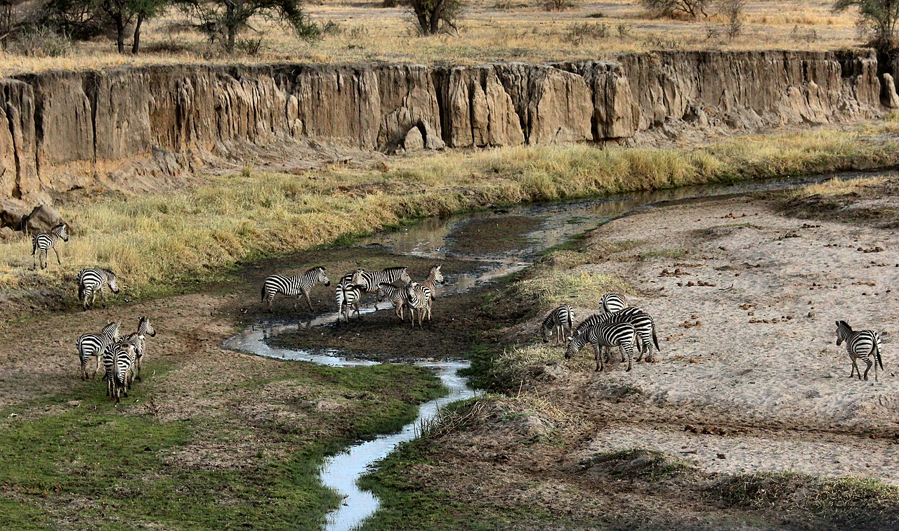
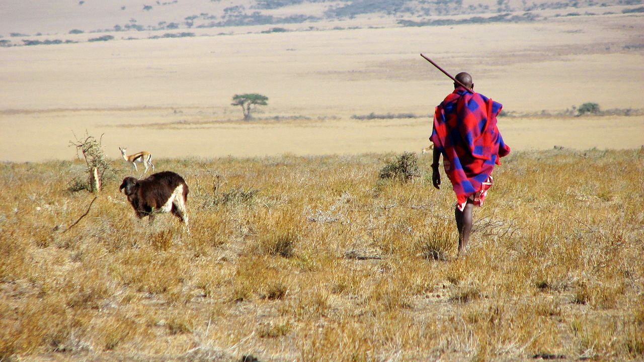
Tanzania is rich in all kinds of large animals, especially in the wildlife reserves. There are all kinds of antelope, and the elephant, giraffe, and hippopotamus are still plentiful in parts. Buffaloes and zebras occur in two or three varieties. The chief carnivores are lion, leopard and cheetah. This wealth of animal life is a huge attraction for tourists. Various types of monkey are plentiful, but the other great attraction of Tanzania, the chimpanzees are confined to national parks in the extreme west.
Of birds there are comparatively few on the steppe, but countless birds are found by rivers, lakes and swamps. Birds comprise about 1,000 species ranging in size from ostrich downwards to the minute sun-birds and warblers.
What is the climate of Tanzania like?
See our main article: The Climate of Tanzania
Tanzania has a tropical climate influenced by the warm currents from the Indian Ocean which bring both rain and heat. Most of the country experiences hot temperatures all year round, being warmest period being between November and February (25–31°C or 77–88°F) and coolest between May and August (15–20°C or 59–68°F). In the highlands though, the climate is temperate, temperatures range between 10°C and 20°C (50°F and 68°F) during cold and hot seasons respectively, and the nights can sometimes be quite cold. Kilimanjaro has a climate of its own; the west and south sides of the mountain receive the greatest rainfall, while the east and north sides are dry nearly all the year.
In the north and east of Tanzania the rainy season is divided into two parts: the short rains (or "Vuli") and the long rains (or "Masika"). The former falls in the months of October, November, December; the latter from March to May when the heaviest downpours occur. September is the driest month, although even then occasional showers occur. In the interior there is generally one rainy season, the rain beginning in November and ending in April or May; the rest of the year is dry. In many interior districts the rainy season sometimes passes without bringing any regular heavy rains and this causes severe droughts.
| Climate data for Dodoma | |||||||||||||
|---|---|---|---|---|---|---|---|---|---|---|---|---|---|
| Month | Jan | Feb | Mar | Apr | May | Jun | Jul | Aug | Sep | Oct | Nov | Dec | Year |
| Average high °C (°F) | 29.4 (84.9) | 29.4 (84.9) | 29.0 (84.2) | 28.7 (83.7) | 28.0 (82.4) | 27.1 (80.8) | 26.5 (79.7) | 27.3 (81.1) | 29.0 (84.2) | 30.5 (86.9) | 30.1 (86.2) | 30.4 (86.7) | 28.8 (83.8) |
| Daily mean °C (°F) | 24.0 (75.2) | 24.0 (75.2) | 23.7 (74.7) | 23.3 (73.9) | 22.3 (72.1) | 20.8 (69.4) | 20.1 (68.2) | 20.8 (69.4) | 22.2 (72.0) | 23.7 (74.7) | 24.2 (75.6) | 24.6 (76.3) | 22.7 (72.9) |
| Average low °C (°F) | 18.6 (65.5) | 18.6 (65.5) | 18.3 (64.9) | 17.9 (64.2) | 16.5 (61.7) | 14.4 (57.9) | 13.6 (56.5) | 14.2 (57.6) | 15.3 (59.5) | 16.9 (62.4) | 18.3 (64.9) | 18.8 (65.8) | 16.5 (61.7) |
| Average precipitation mm (inches) | 133.7 (5.26) | 144.5 (5.69) | 113.9 (4.48) | 57.8 (2.28) | 5.3 (0.21) | 0.1 (0.00) | 0.03 (0.00) | 0.01 (0.00) | 0.01 (0.00) | 2.08 (0.08) | 26.25 (1.03) | 123.28 (4.85) | 606.96 (23.90) |
| Source: World Meteorological Organization | |||||||||||||
 Eastern Serengeti
The official websites
Tanzania
Unsurpassed Africa
| Location: | Eastern Africa, bordering the Indian Ocean, between Kenya and Mozambique |
| Coordinates: | 6° 00′ S, 35° 00′ E |
| Size: | • 1185 km N-S; 1220 km E-W • 735 miles N-S; 755 miles E-W |
| Climate: | Varies from tropical along coast to temperate in highlands |
| Highest point: | Kilimanjaro 5,895 m / 19341 ft |
| Forest: | 37.3% (2011 est.) |
| Population: | 58,552,845 (July 2020 est.) |
| Population density: | Low-to-Medium (48/km²) |
| Capital: | Dodoma |
| Languages: | Kiswahili or Swahili (official), Kiunguja (name for Swahili in Zanzibar), English (official), Arabic (widely spoken in Zanzibar), many local languages |
| Human Development Index: | Low (0.529) |
| Currency: | Tanzanian shilling |