The Geography of
Kenya
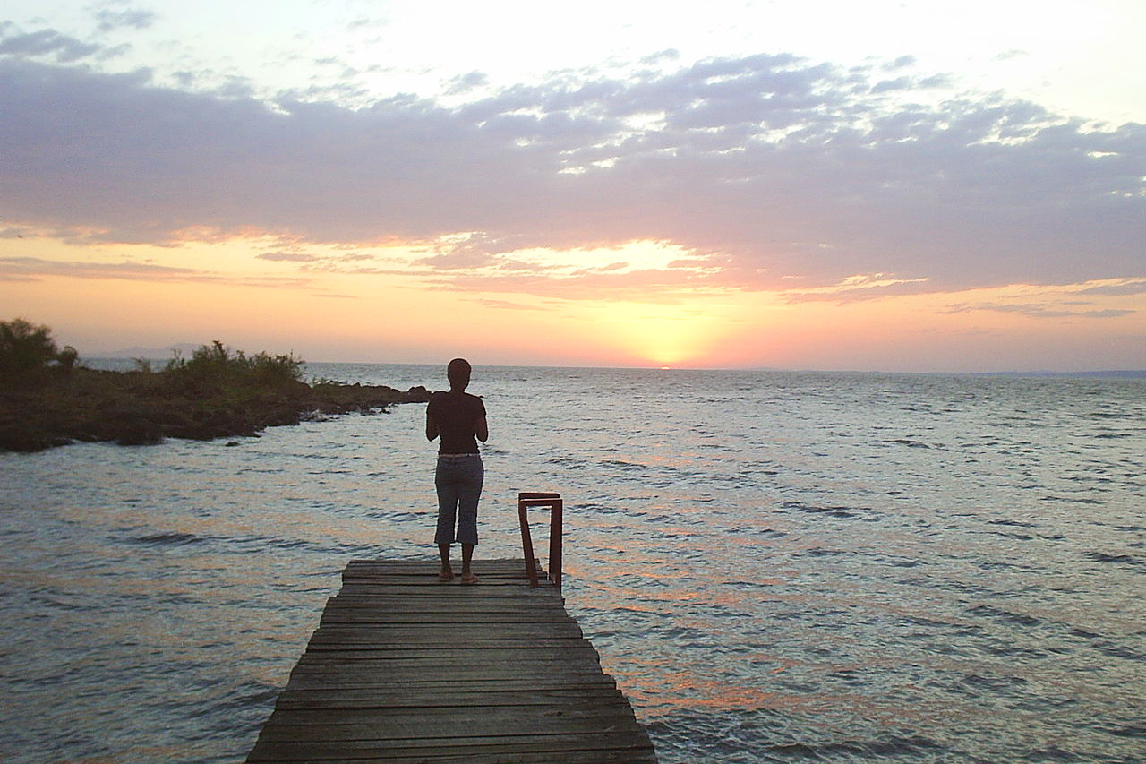
Why visit Kenya?
The natural beauty of Kenya is unrivaled, with mountains, forests and lakes that are all breathtakingly gorgeous to behold. Almost anything that one could want to see is available in Kenya, from the Serengeti to the Rift Valley as well as the internationally renowned National Parks. Kenya also boasts some world-famous safari areas such as the Masai Mara and Amboseli National Parks where you’ll see herds of elephants roaming freely or watch lions hunt their prey in open plains. The people are friendly and welcoming, and the culture is rich and diverse. There are many different ethnic groups in Kenya, and each group has its own traditions and customs.
Contents
Map
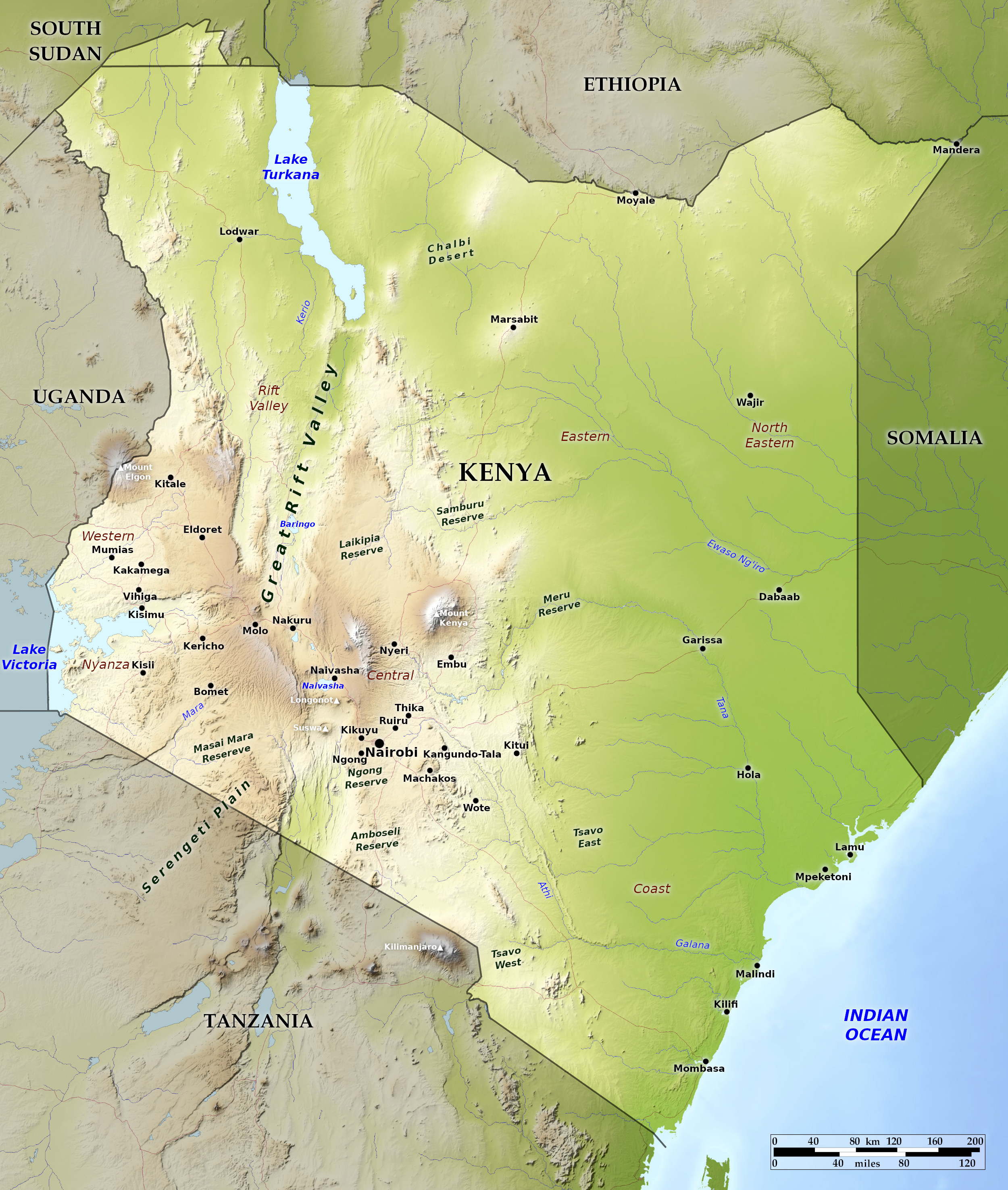 Relief map of Kenya
What is the landscape of Kenya like?
Kenya is dominated by the East Africa plateau, varying from 1,500 to 3,000 meters (5,000 to 10,000 feet) high, situated between the sea and the great lakes. These Kenya Highlands, which are divided by the Great Rift Valley, have well-watered valleys, deep soil and grasslands rich in African wildlife.
Coastal Zone
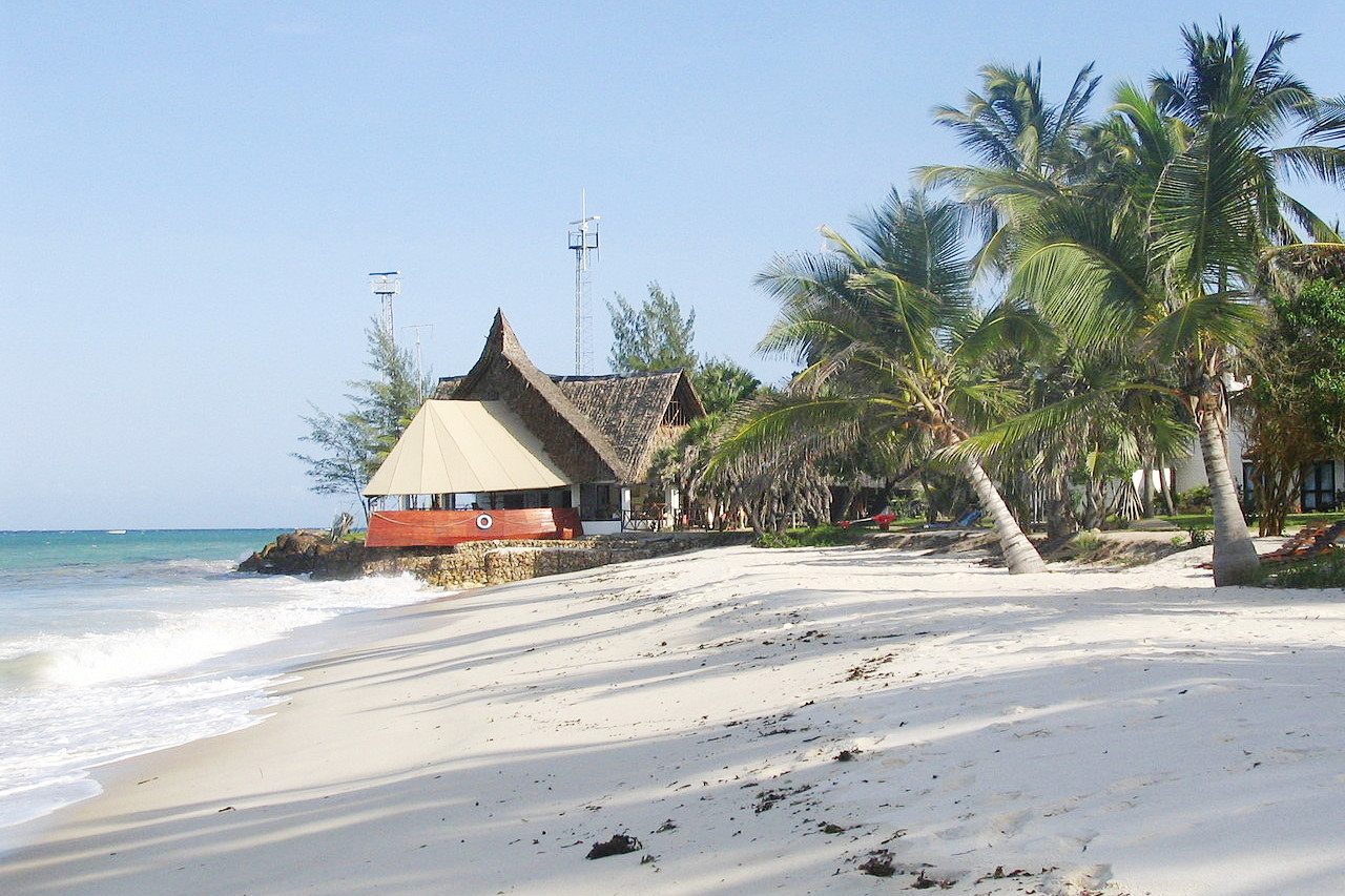
The Coastal Strip runs right along Kenya's coastline from Tanzania to Somalia. In the south, there is a coastal lowland about 15 miles broad, with outcrops, mostly of sandstone, rising in ridges towards the interior high plains. To the north and extending over the eastern section of the Northeastern Province there is an extensive plain below 300 meters (1,000 feet).
The coastline is formed chiefly of raised coral rocks and cemented coral sand, and is covered by sand dunes, raised beaches, and red sandy soil. The shore line is broken by bays and branching creeks, often cutting off islands from the mainland. This includes the old city of Mombasa which is centred on Mombasa Island.
Southeast Uplands
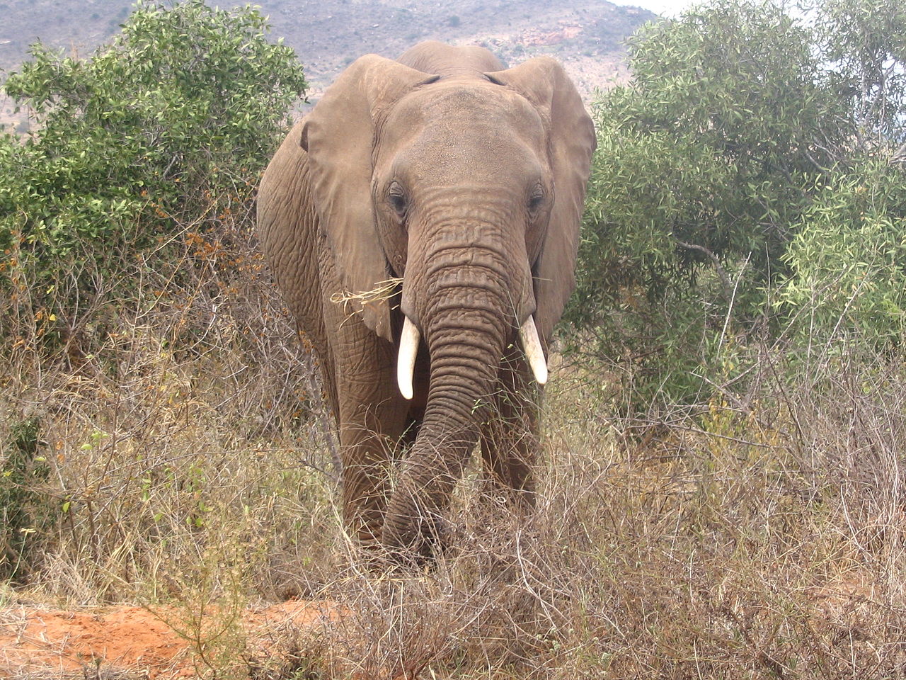
Beyond the coast plain the country rises in a generally well defined step or steps to an altitude of some 240 meters (800 feet), forming the wide level uplands (sometime called "Nyika"—a Swahili word meaning "hinterland"). These are sandy steppes mostly consisting of vast level plains which separate the interior mountains from the sea. The soil in red and sandy, and water is scarce except in the rainy season; but it supports a thick vegetation, and the land responds with a wonderful outburst of green and flowers to every rain shower. The region is home to the Tsavo National Park which supports a wide variety of wildlife, such as leopard, lion, elephant, black rhinoceros, hippopotamus, and Cape buffalo.
Northern Plains
The vast northern plains account for half of the land area of Kenya. It is made up of a series of arid plains supporting only semi-desert vegetation, and is thus one the least visited parts of the country. Annual rainfall is low—below 250 millimeters (10 inches) and droughts are common. East of Lake Turkana lies the small Chalbi Desert—Kenya's one true desert. In the far north is dry steppe, mainly volcanic in character, from which rise uplands and mountains.
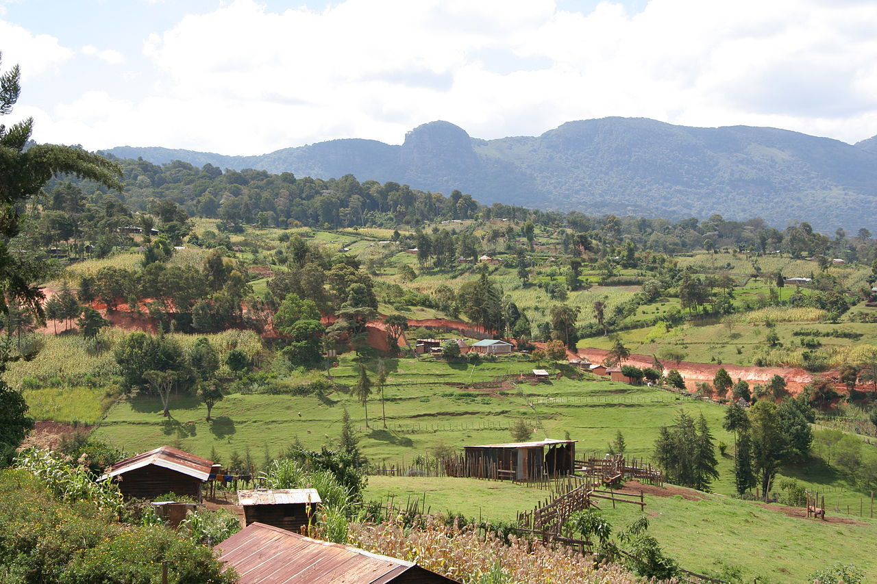
Kenya Highlands
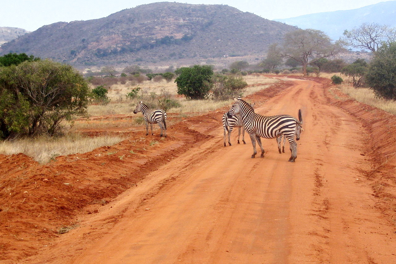
The Kenya Highlands is a huge volcanic plateau, with a height varying from 1,500 to 2,400 meters (5,000–8,000 feet) above sea-level. The region is divided down the middle by the depression known as the Great Rift Valley that runs north-south. The traveller who has made the 250 mile journey from the coast will be astonished at the change in scenery. The air is clear and cool and the grass dewy. On either side extend prairies covered at most seasons of the year by herds of zebra and antelope, and dotted with large trees.
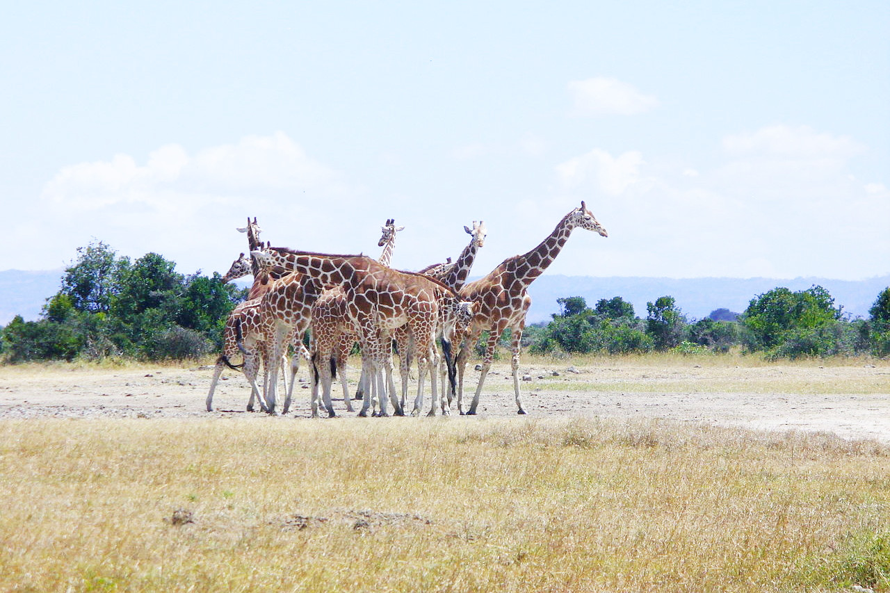
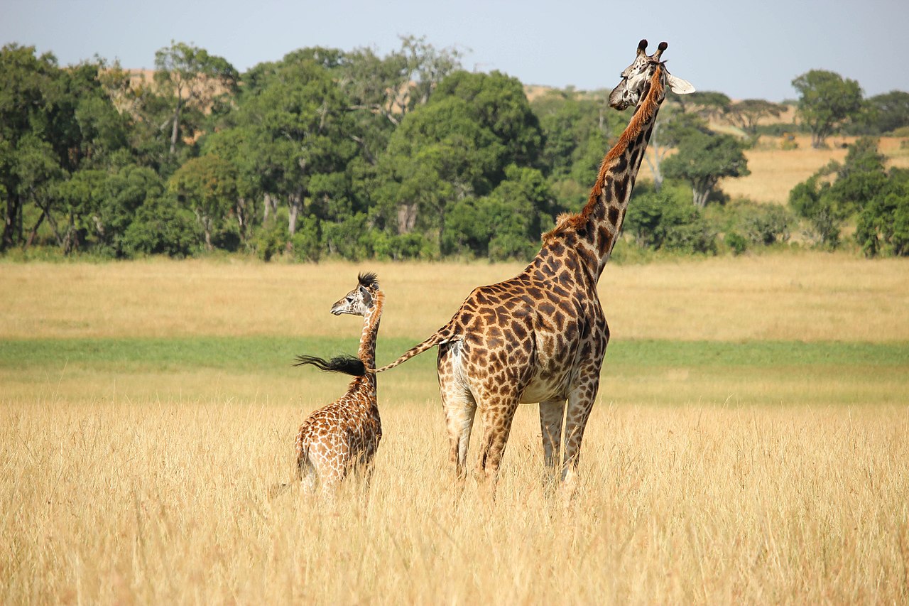
A little further on, near Kenya's capital Nairobi, the plains become undulating, treeless expanses, but here there is a certain amount of scattered vegetation and abrupt, grassy hills. The reserves provide the most extraordinary spectacle of wildlife: the commonest animals are zebras, hartebeest (antelopes), and two very graceful smaller antelopes known as Grant's and Thomson's gazelle. Ostriches are also abundant and conspicuous, and with luck one may get a sight of giraffe, lion, or rhinoceros, especially early in the morning. There is probably no place in the world which can show an even approximately similar display of animals.
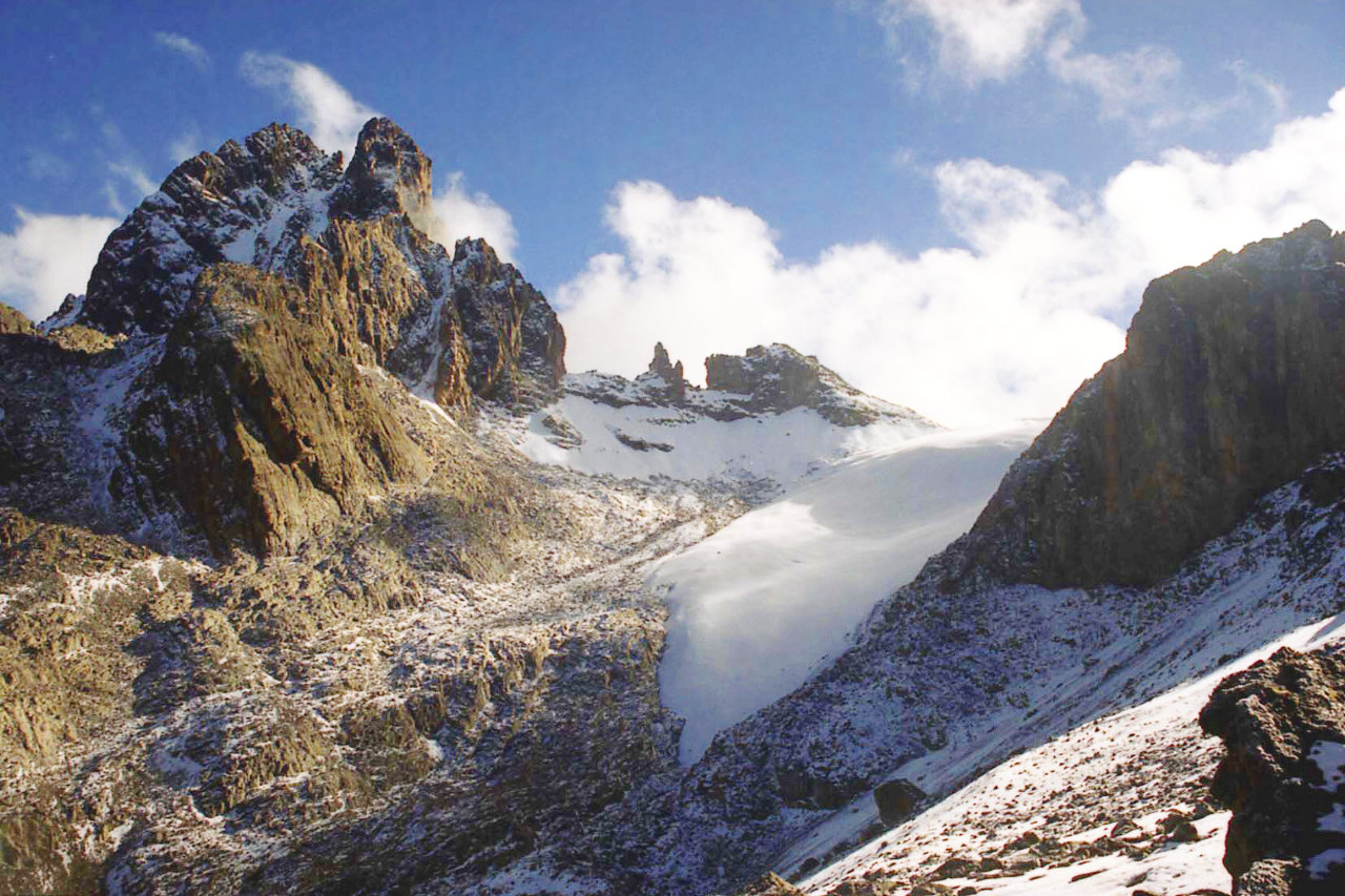
This zone contains the highest elevations in Kenya, including the volcanic pile of Mount Kenya 5,199 meters (17,057 feet) high. This is a snow-capped mountain rivalling Kilimanjaro. Like Kilimanjaro, Mount Kenya is frequently wrapped in fogs, being usually shrouded in mists during the greater part of the day, unrobing itself only in the evening at the hour of the setting sun, or else at dawn when struck by the first solar rays. North of Nairobi is the Aberdare Range, a 100 mile (160 km) long mountain range of upland, with an average elevation of 3,500 metres (11,480 ft). Farther inland grassy uplands extend to the eastern edge of the rift-valley, though varied with cultivated ground and forest.
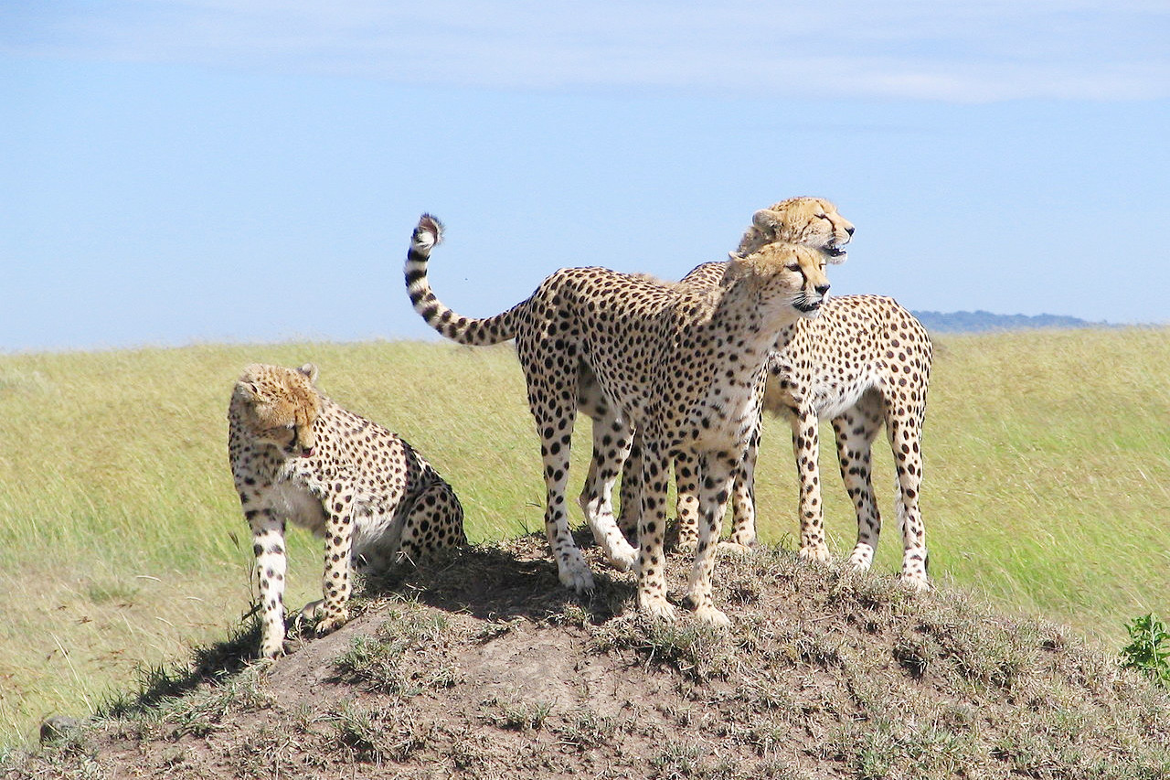
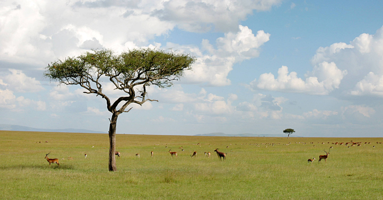 Savanna of the Masai Mara
Great Rift Valley
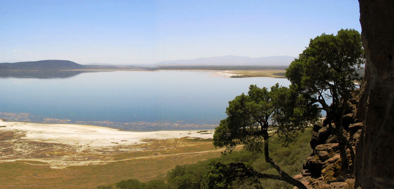
The Great Rift Valley is a region which, though some thousand feet lower than the surrounding heights, shares their temperate climate. Here the scenery is dramatic: a wild, wind-swept valley, bounded by strange volcanic mountains. The rift-valley, though with a generally level floor, is divided by transverse ridges into a series of basins, each containing a lake without outlet. In the south rise the extinct volcanoes of Suswa (2,356 m / 7,730 ft) and Longonot (2,776 m / 9,108 ft). Although the volcanoes are inactive, steam vents and hot springs are numerous.
The Valley is dotted with lakes, often visited by flamingoes. Lake Naivasha, a fresh-water lake, 1,884 m (6,181 ft) above the sea, measures some 10 miles across, and lies at the highest elevation of the Kenyan Rift valley. To the north is Lake Baringo, dominated by the elevated heights which rise above both sides of the great volcanic fault. In the far north lies the much larger Lake Turkana, the valley here takes the form of the wide shallow trough and becomes somewhat less defined.
The Rift valley is most impressive in the south, here it is about 40 miles across and is bounded by towering cliffs. Opposite Lake Naivasha, the Mau Escarpment rises over 1,000 meters (3,300 feet) above the floor of the Rift Valley. On the other side there are the even greater heights of the Aberdare Mountains, north of Nairobi, which rise to nearly 4,000 meters (13,000 feet) above sea-level.
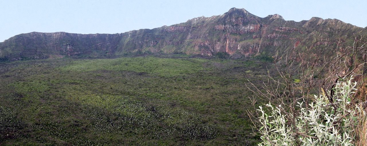 Interior crater of Mount Longonot
Western Plateau
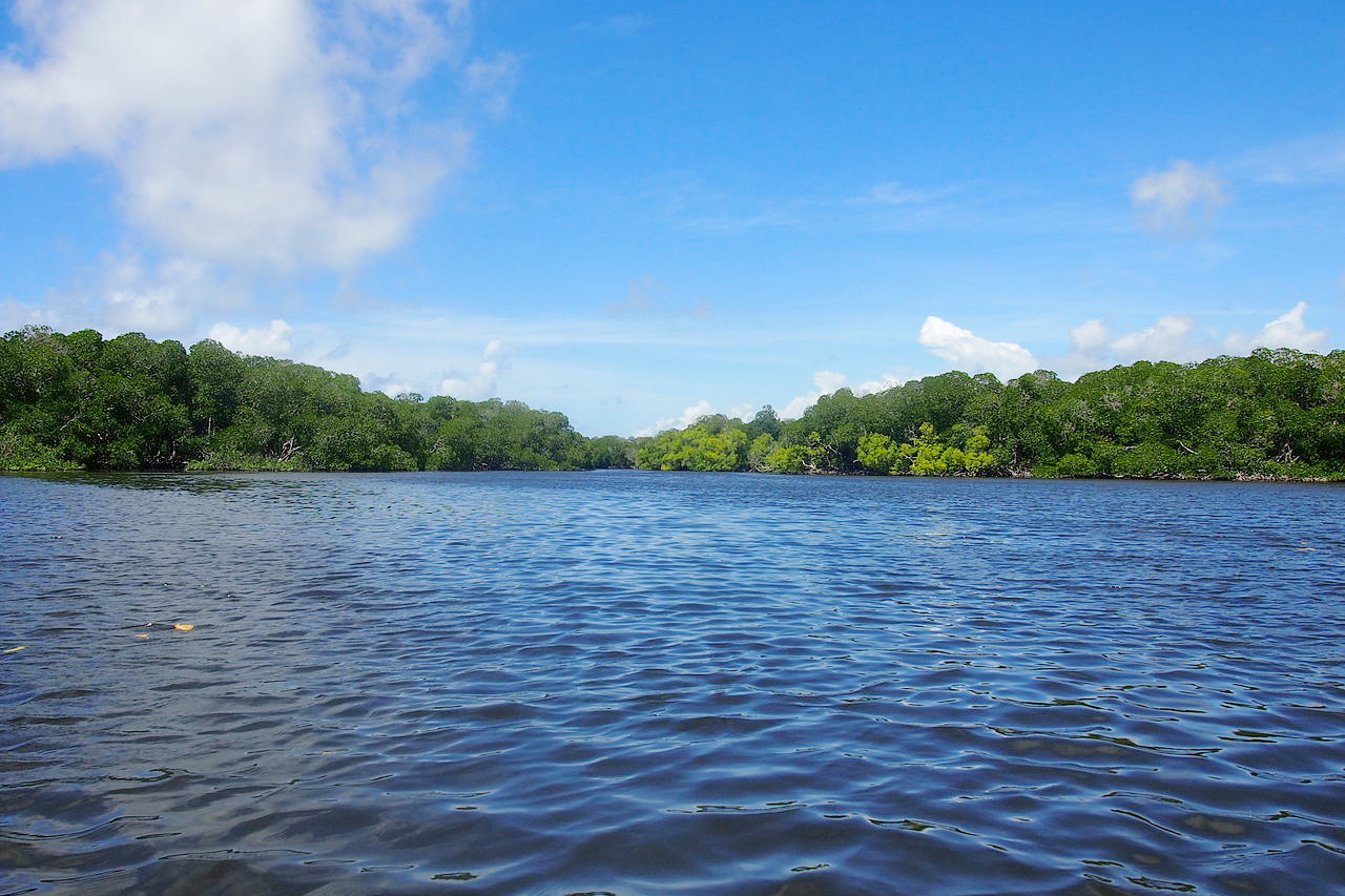
The Western Plateau Region includes the extensive basin around Lake Victoria Nyanza. From the heights of the Mau Escarpment, the land descends gently, broken by a series of wooded escarpments, to the lakeshore. This is a fertile region, and the area around Lake Victoria is one of the more heavily populated parts of the country. To the north of this is the great volcanic mountain of Elgon (4,321 m / 14,177 ft) on the border with Uganda.
What is the nature of Kenya like?
Plants
Kenya supports an enormous range of plant life. The coast regions have mangroves and remnants of the old forests, but elsewhere coconut palms are cultivated. The northern plains, being very dry, have desert scrub of low bushes separated by bare soil. Some areas in the south are also arid, and this includes the plains to the north of Kilimanjaro, where the scenery is one of tangled bushes, giving way near the highlands to open grassland dotted with acacia trees. During the dry season, this bush/grass country is dominated by leafless, tangled bush, but in the rains this alters completely and the bushes become buried beneath tall grass and flowers.
Further west though the plains are interrupted by the highlands which intercept the rain-bearing clouds. The running waters descending from these uplands support a growth of forests winding in green belts across the country. Mountain slopes support forests of conifers and juniper, and at higher altitudes there is also bamboo. In several regions there are dense forests of great trees whose lowest branches are 50 feet from the ground. High altitude grasslands are also found, and the higher mountains preserve distinct plant species—the surviving remnants of plants of a cooler era.
Animals
.jpg&oldid=333667716)
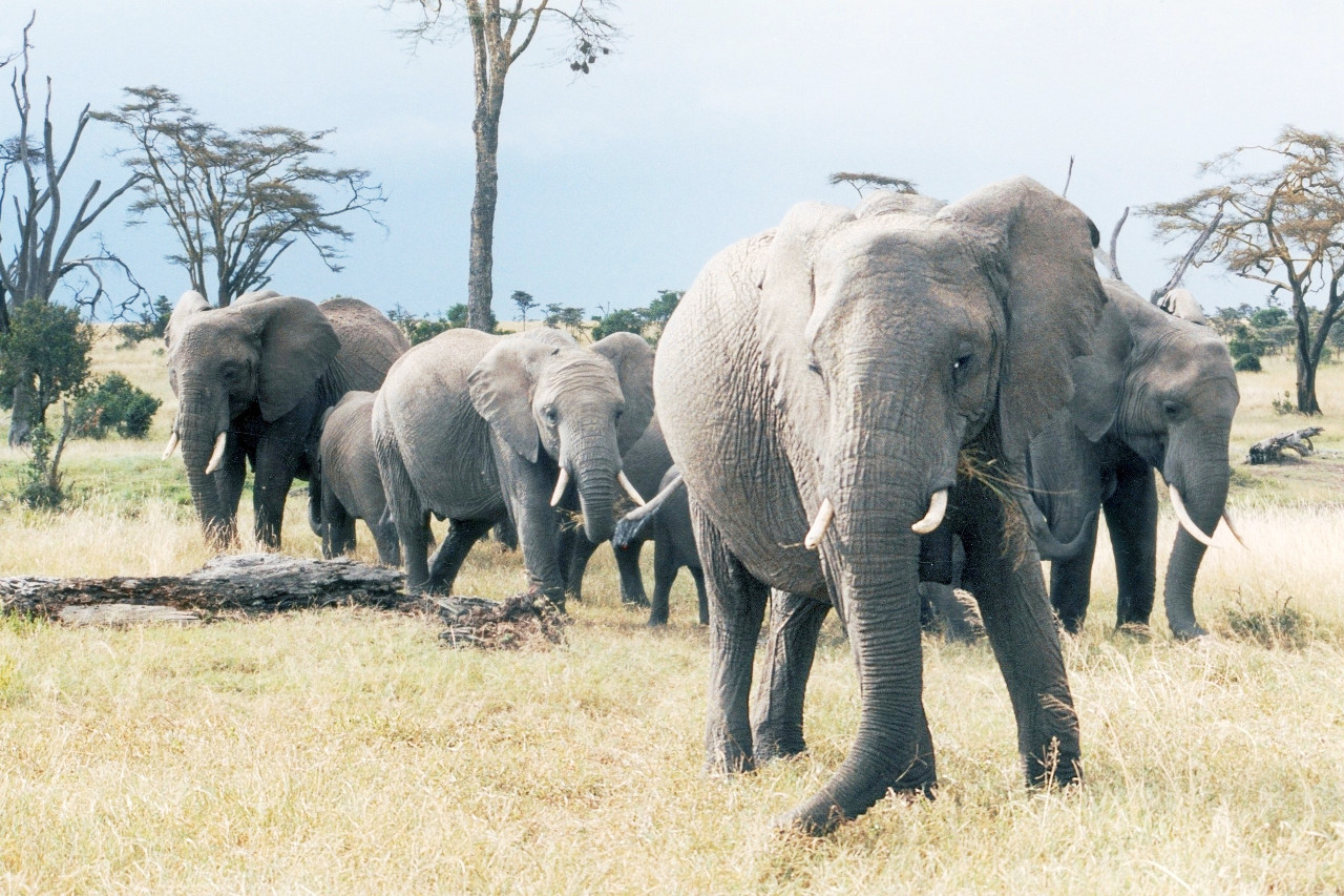
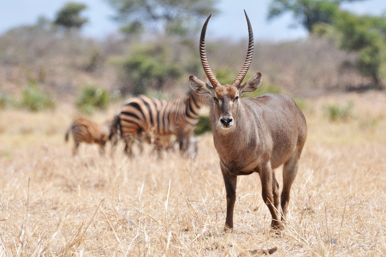
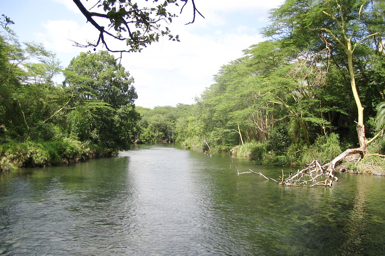
The bush grassland is the home of the large mammals which occupy, in great numbers, vast tracts of almost unpopulated country. Their number in any one locality varies greatly as they migrate over the long distances, following the seasonal grazing. They include the elephant, buffalo, many kinds of antelope, zebra, giraffe, hippopotamus, lion and other carnivores. The rhinoceros, once abundant, is now endangered. Crocodiles are common in the larger rivers and in Victoria Nyanza. There are many monkeys.
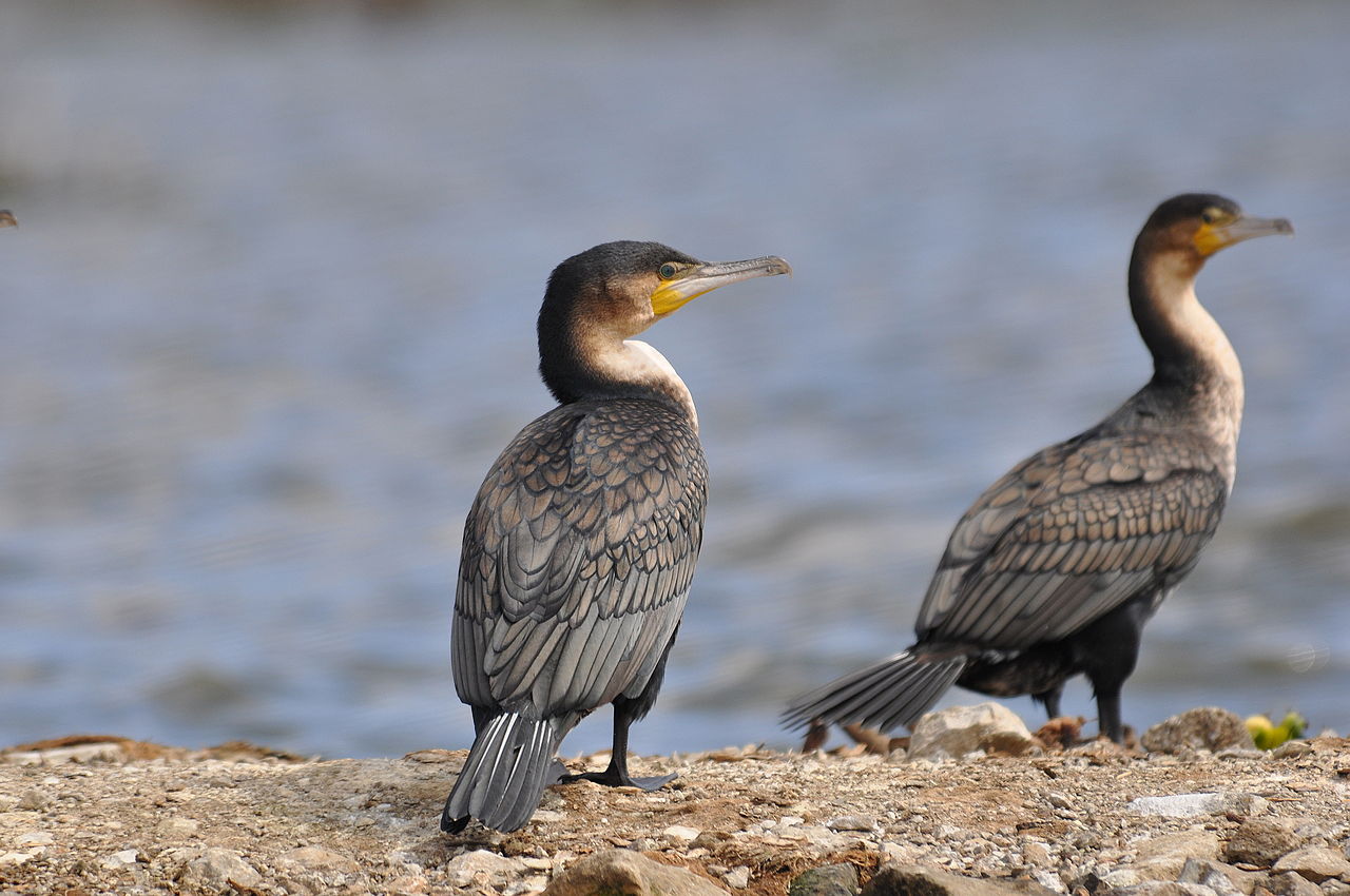
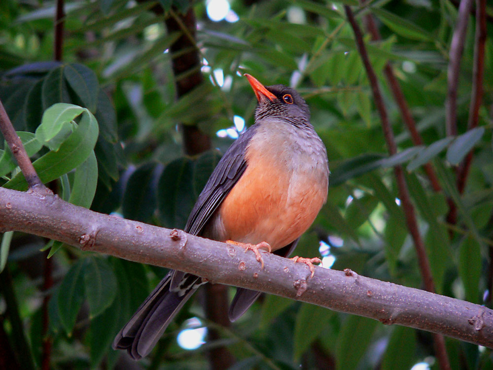
The birds include the ostrich, stork, bustard and secretary-bird among the larger varieties, the guinea fowl, various kinds of spur fowl, and the lesser bustard, the wild pigeon, weaver and hornbill. By the banks of lakes and rivers are to be seen thousands of cranes, pelicans and flamingoes.
What is the climate of Kenya like?
See our main article: The Climate of Kenya
The coastal region of Kenya is hot all year round, but does receive constant breeze from the Indian Ocean. The succeeding plains and the outer plateaus are more arid, but the Highlands (all districts over 1,500 meters / 5,000 feet) have rather pleasant temperatures, the average being about 19°C (66°F) in the cool season (July to September) and 23°C (73°F) in the hot season (December to April). Over 2,000 meters (7,000 feet) the climate becomes distinctly colder and frosts are experienced.
The coast receives most rainfall from the southeast monsoon between April and July and has a pronounced dry season in January and February. Inland, the plateaux and the eastern highlands experience two rainy periods: the "long rains" between March and May and the "short rains" between October and December. To the west of the Rift Valley, rain is concentrated in the period March to September, except around the Masai Mara where the rains are from December to May. Lake Victoria generally receives some rain all the year round.
| Climate data for Nairobi | |||||||||||||
|---|---|---|---|---|---|---|---|---|---|---|---|---|---|
| Month | Jan | Feb | Mar | Apr | May | Jun | Jul | Aug | Sep | Oct | Nov | Dec | Year |
| Average high °C (°F) | 24.5 (76.1) | 25.6 (78.1) | 25.6 (78.1) | 24.1 (75.4) | 22.6 (72.7) | 21.5 (70.7) | 20.6 (69.1) | 21.4 (70.5) | 23.7 (74.7) | 24.7 (76.5) | 23.1 (73.6) | 23.4 (74.1) | 23.4 (74.1) |
| Daily mean °C (°F) | 18.0 (64.4) | 18.6 (65.5) | 19.4 (66.9) | 19.1 (66.4) | 17.9 (64.2) | 16.3 (61.3) | 15.4 (59.7) | 15.8 (60.4) | 17.1 (62.8) | 18.6 (65.5) | 18.1 (64.6) | 18.0 (64.4) | 17.7 (63.9) |
| Average low °C (°F) | 11.5 (52.7) | 11.6 (52.9) | 13.1 (55.6) | 14.0 (57.2) | 13.2 (55.8) | 11.0 (51.8) | 10.1 (50.2) | 10.2 (50.4) | 10.5 (50.9) | 12.5 (54.5) | 13.1 (55.6) | 12.6 (54.7) | 12.0 (53.6) |
| Average precipitation mm (inches) | 64.1 (2.52) | 56.5 (2.22) | 92.8 (3.65) | 219.4 (8.64) | 176.6 (6.95) | 35.0 (1.38) | 17.5 (0.69) | 23.5 (0.93) | 28.3 (1.11) | 55.3 (2.18) | 154.2 (6.07) | 101.0 (3.98) | 1,024.2 (40.32) |
| Source: World Meteorological Organization | |||||||||||||
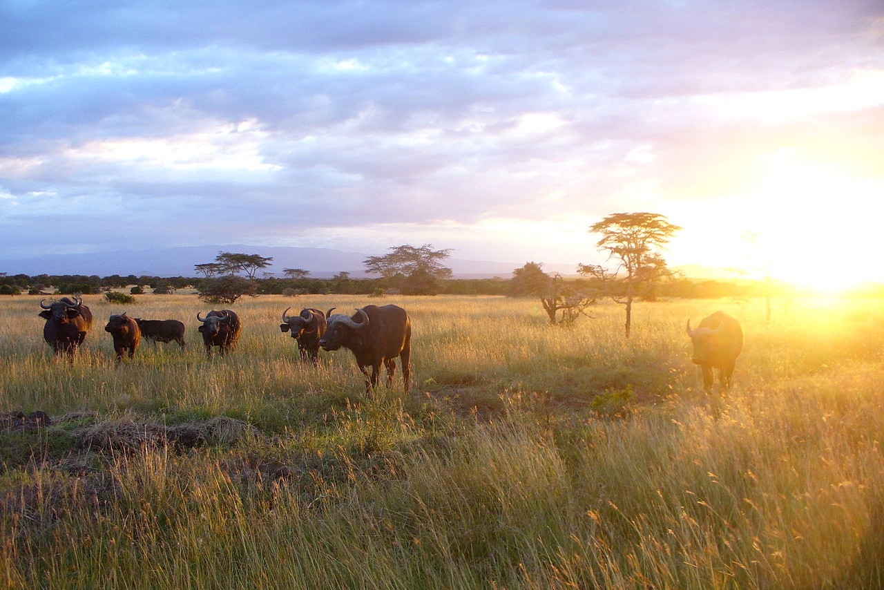 African buffalo at sunset, Nanyuki
Kenya
Magical Kenya
| Location: | Eastern Africa, bordering the Indian Ocean, between Somalia and Tanzania |
| Coordinates: | 1° 00′ N, 38° 00′ E |
| Size: | • 1070 km N-S; 880 km E-W • 670 miles N-S; 550 miles E-W |
| Climate: | Varies from tropical along coast to arid in interior. Temperate in the Highlands. |
| Highest point: | Mount Kenya 5,199 m / 17057 ft |
| Forest: | 6.1% (2011 est.) |
| Population: | 53,527,936 (July 2020 est.) |
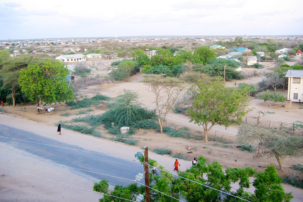
| Population density: | Medium (78/km²) |
| Capital: | Nairobi |
| Languages: | English (official), Kiswahili (official), numerous local languages |
| Human Development Index: | Medium (0.601) |
| Currency: | Kenyan shilling |