.jpg)
.jpg&oldid=570354667)

The Geography of
Nova Scotia
Why visit Nova Scotia?
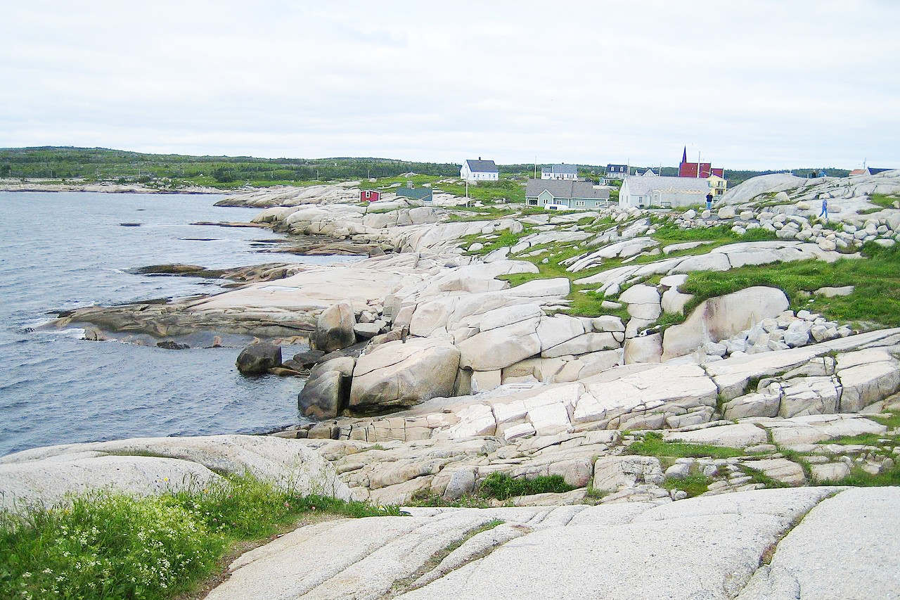
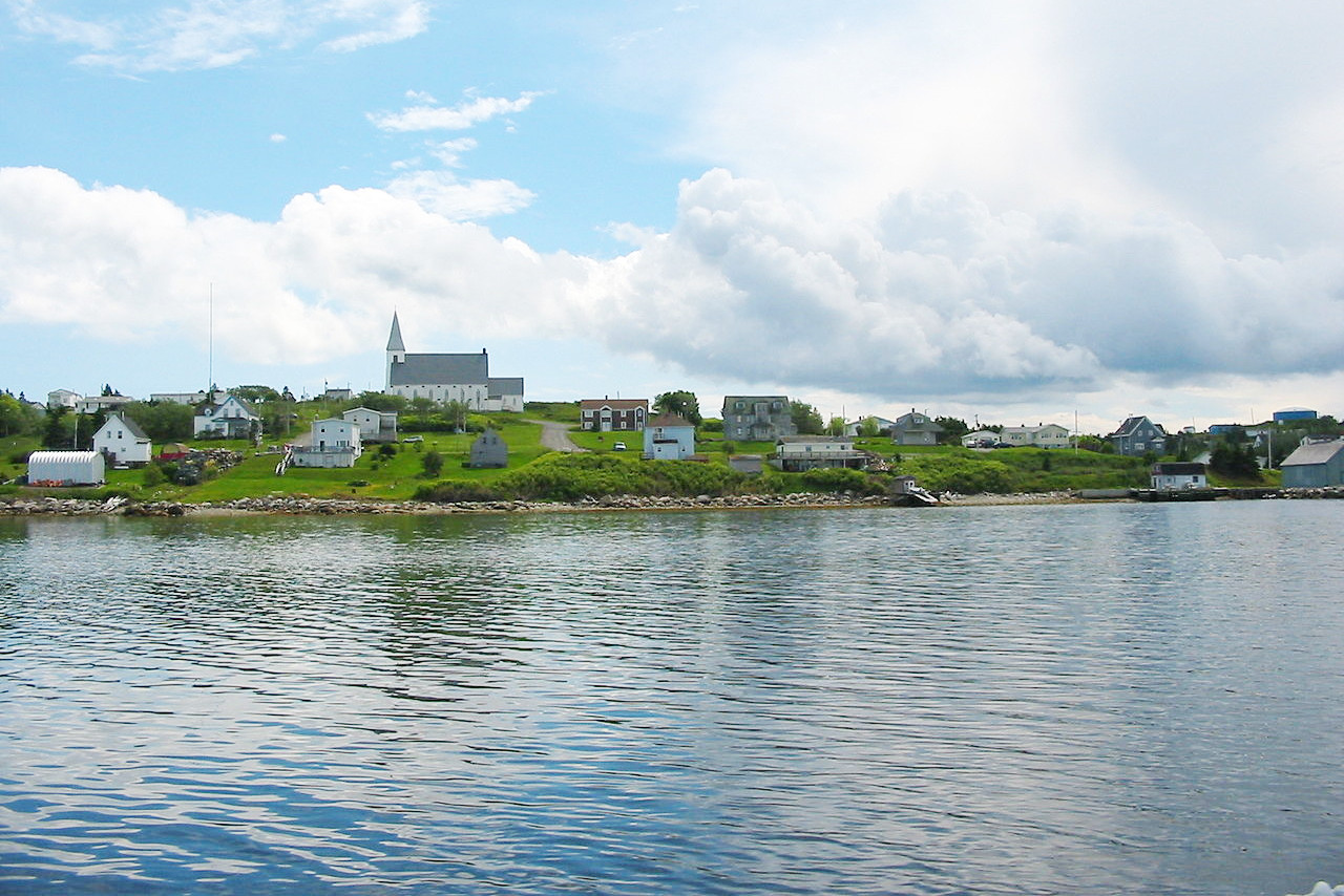
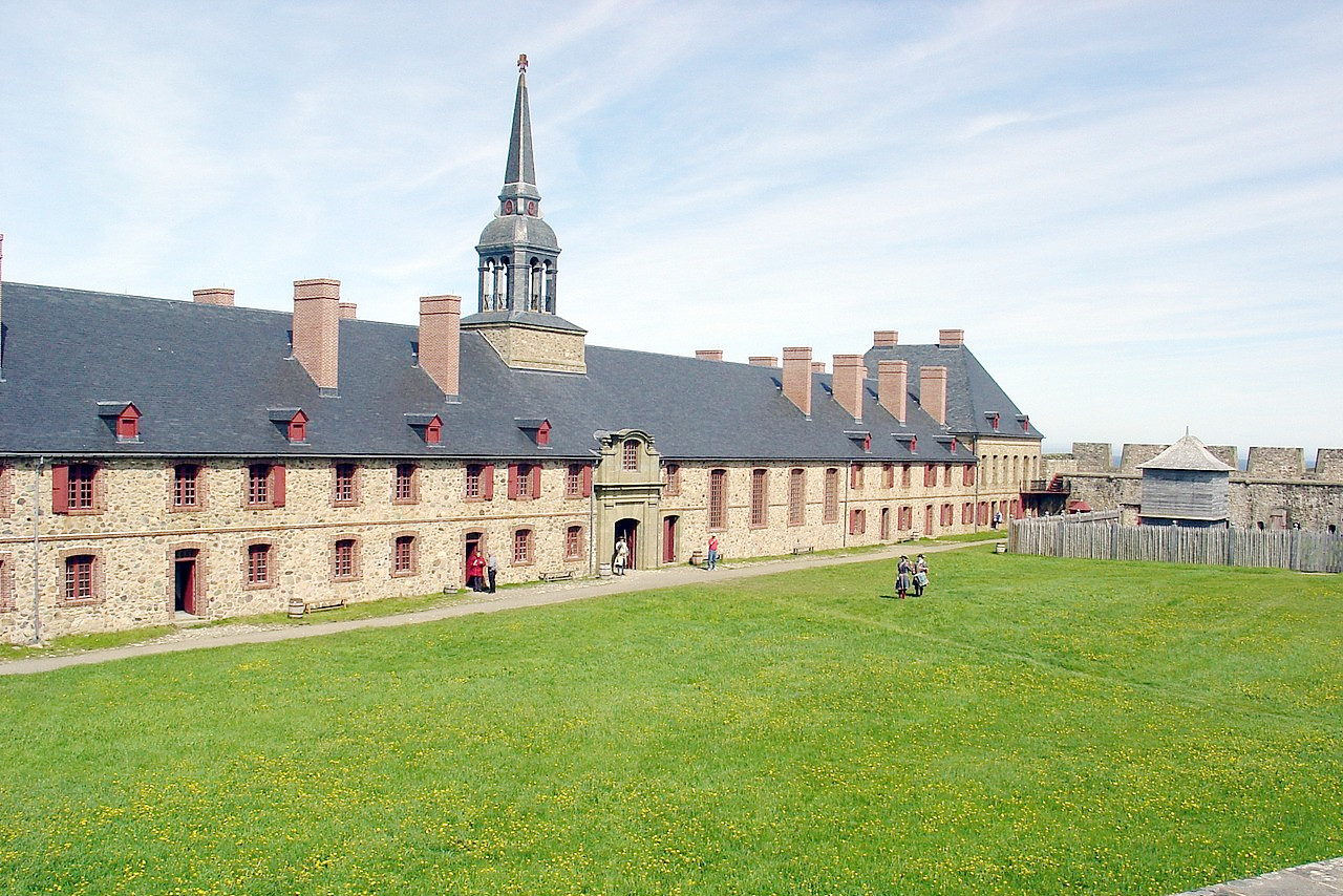
Nova Scotia comprises a peninsula with a highly indented coastline extending into the Atlantic Ocean, and Cape Breton Island which is linked to the mainland by a causeway. The province is well-known for its forests, lakes and rivers. The coastline of Nova Scotia is beautiful and is home to many fishing villages. The natural beauty of Nova Scotia is something that can't be missed when visiting the province.
Contents
Map
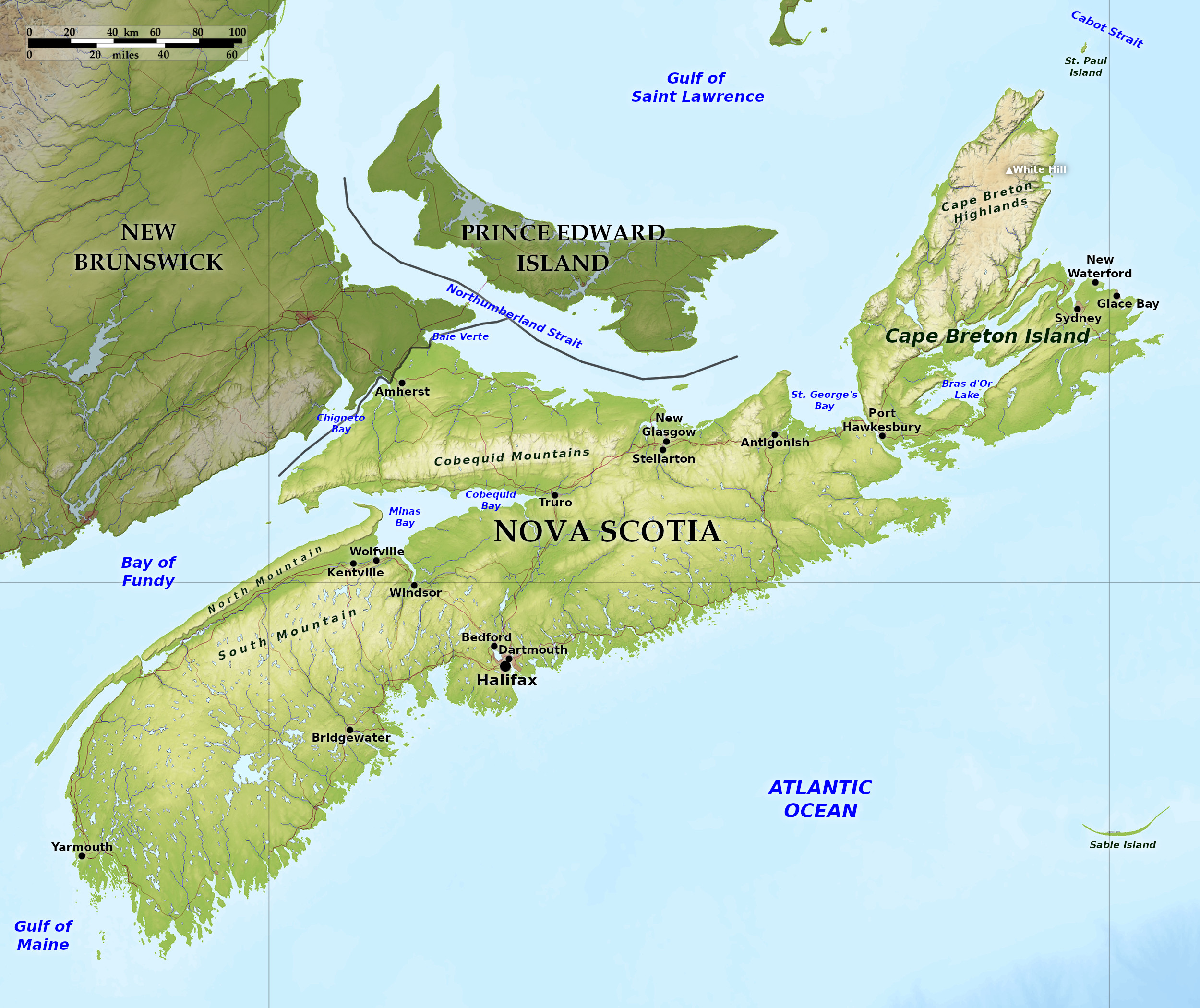 Relief map of Nova Scotia
What is the landscape of Nova Scotia like?
The province of Nova Scotia has two parts: Nova Scotia proper (a large peninsula connected to New Brunswick) and the island of Cape Breton.
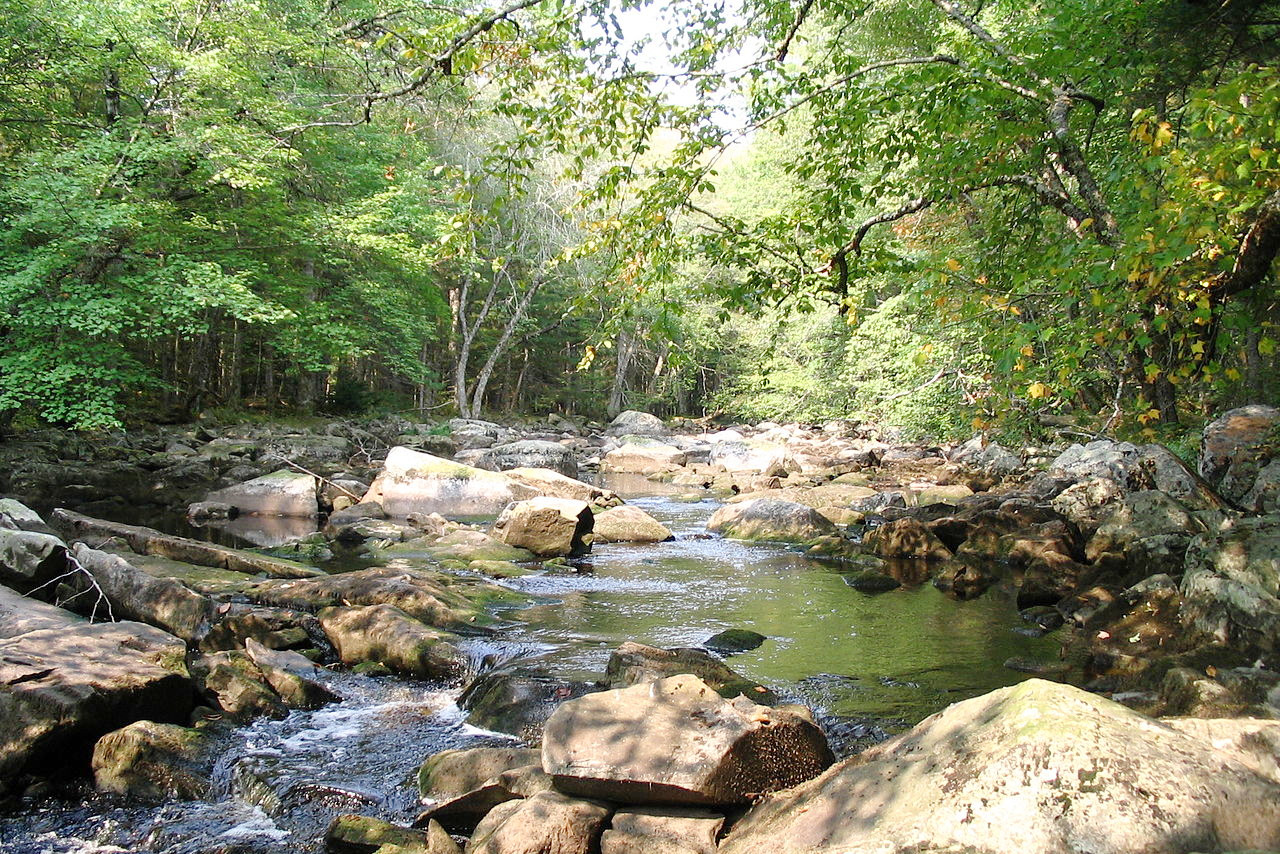
The peninsula of Nova Scotia, about 280 miles in length, and from 50 to 100 miles broad, extends in a northeast and southwest direction. It has an undulating terrain intersected by chains of hills. The highlands of the Nova Scotia constitute the backbone of the peninsula, not more than 200 to 300 meters (600–1,000 feet) high; they form a wide plateau narrowing to the northeast. To the north, the Cobequid Mountains, stretching from east to west form a high ridge; and there is another narrow ridge on the coast of the Bay of Fundy, separated from the main plateau by the valley of the Annapolis River—the garden of Nova Scotia. Small lakes are common; Lake Rossignol, more than 20 miles long, being the largest on the peninsula.
The Atlantic coast is high and bold, containing many harbours, of which Halifax is the chief. The north shore is typically low, with hills some distance from the coast. Of the inlets the most remarkable is Minas Bay, the eastern arm of the Bay of Fundy; it penetrates some 60 miles inland, and terminates in Cobequid Bay, where the tides rise sometimes as high as 16 meters (53 feet); while on the opposite coast, the spring tides scarcely exceed 2 meters (7 feet).
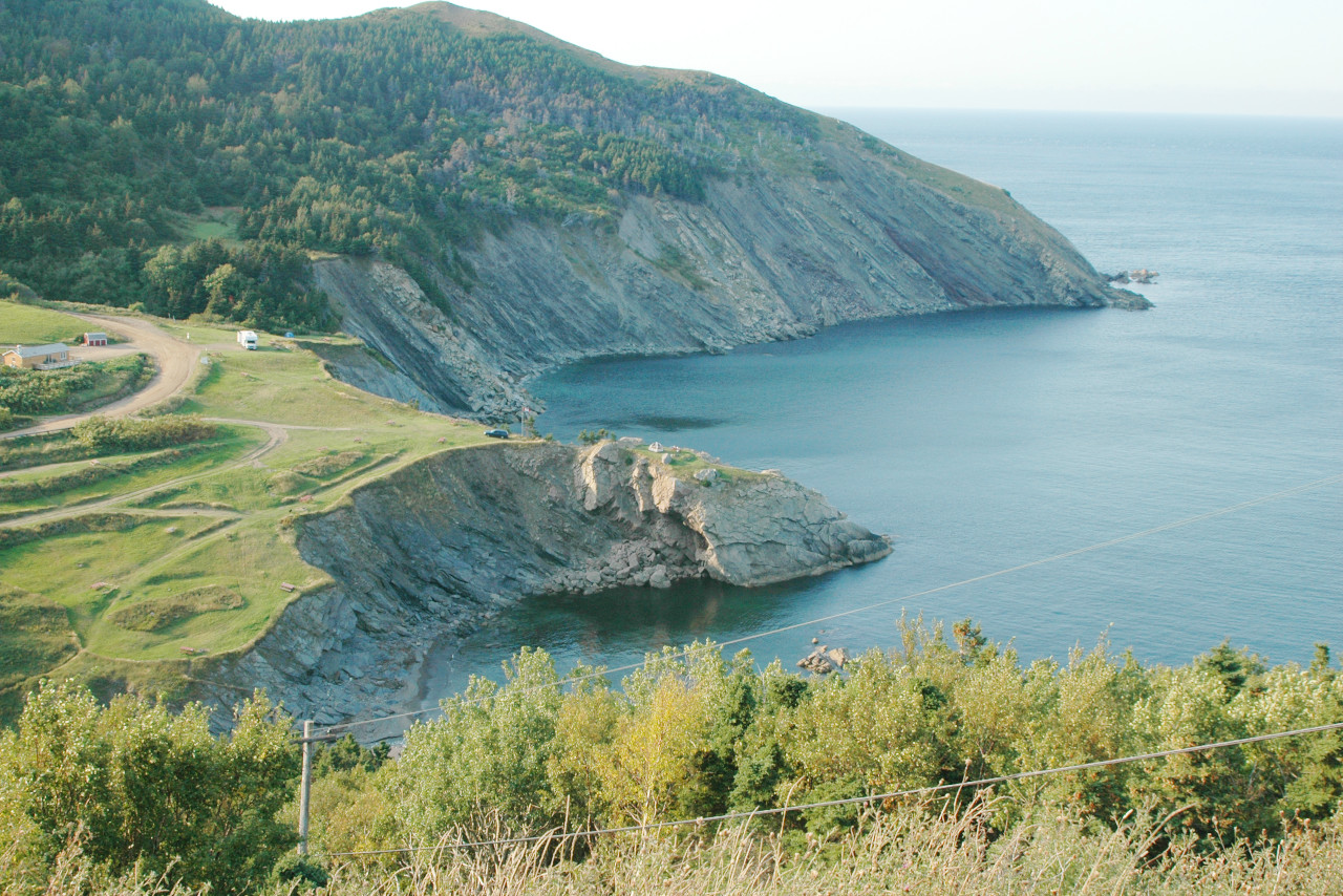
Cape Breton Island lies northeast of Nova Scotia proper, and is separated from it by a narrow strait called the Cut of Canso. It is a rocky island of irregular shape, 100 miles long by 85 miles broad. It is practically divided in two by the land-locked Bras d'Or Lakes. Its picturesque scenery, containing numerous beautiful glens and gorges, are a great attraction for tourists. The northern promontory consists of a plateau, rising at Cape North to a height of 535 meters (1,755 feet).
Many smaller islands occur along the coast, particularly to the southeast; the most famous is Sable Island. This island, about 20 miles in length and 1 mile wide is composed of shifting sand, with dangerous sandbars which have caused many shipwrecks. Wild ducks, gulls, and other birds nest in large numbers, and a native breed of ponies has long flourished.
What is the nature of Nova Scotia like?
Nova Scotia is covered in forests, and the varieties of trees being well divided between the hardwood (beech, maple, elm, walnut, etc.) and softwood (tamarack, spruce, balsam, etc.) species, the former being more common in the protected valleys. The sweet-smelling mayflower, or trailing arbutus (Epigaea repens), grows extensively, and has long been the floral emblem of Nova Scotia.
What is the climate of Nova Scotia like?
The climate of Nova Scotia is more temperate than that of New Brunswick, and more even than that of the inland provinces, though not so dry. Spring and winter begin about a fortnight later than in Ontario. Nova Scotia is not subject to great extremes of heat and cold, but has a fair amount of cloudy and foggy weather. The presence of the sea lessens the severity of the winters, and the interior portions of the province are greatly protected by the ranges of hills which border the coasts.
| Climate data for Halifax (1981–2010) | |||||||||||||
|---|---|---|---|---|---|---|---|---|---|---|---|---|---|
| Month | Jan | Feb | Mar | Apr | May | Jun | Jul | Aug | Sep | Oct | Nov | Dec | Year |
| Average high °C (°F) | −0.1 (31.8) | 0.4 (32.7) | 3.6 (38.5) | 8.7 (47.7) | 14.4 (57.9) | 19.6 (67.3) | 23.1 (73.6) | 23.1 (73.6) | 19.3 (66.7) | 13.4 (56.1) | 8.1 (46.6) | 2.8 (37.0) | 11.4 (52.5) |
| Daily mean °C (°F) | −4.1 (24.6) | −3.6 (25.5) | −0.2 (31.6) | 4.9 (40.8) | 10.1 (50.2) | 15.2 (59.4) | 18.8 (65.8) | 19.1 (66.4) | 15.5 (59.9) | 9.9 (49.8) | 4.8 (40.6) | −0.8 (30.6) | 7.5 (45.5) |
| Average low °C (°F) | −8.2 (17.2) | −7.5 (18.5) | −3.9 (25.0) | 1.0 (33.8) | 5.8 (42.4) | 10.7 (51.3) | 14.4 (57.9) | 15.1 (59.2) | 11.8 (53.2) | 6.4 (43.5) | 1.5 (34.7) | −4.3 (24.3) | 3.6 (38.5) |
| Average precipitation mm (inches) | 139.7 (5.50) | 110.1 (4.33) | 132.5 (5.22) | 118.3 (4.66) | 119.1 (4.69) | 111.8 (4.40) | 110.3 (4.34) | 96.4 (3.80) | 108.9 (4.29) | 124.3 (4.89) | 151.4 (5.96) | 145.1 (5.71) | 1,468.1 (57.80) |
| Average snowfall cm (inches) | 43.1 (17.0) | 35.0 (13.8) | 31.2 (12.3) | 7.0 (2.8) | 0.8 (0.3) | 0.0 (0.0) | 0.0 (0.0) | 0.0 (0.0) | 0.0 (0.0) | 0.1 (0.0) | 7.8 (3.1) | 29.2 (11.5) | 154.2 (60.7) |
| Source: Environment and Climate Change Canada | |||||||||||||
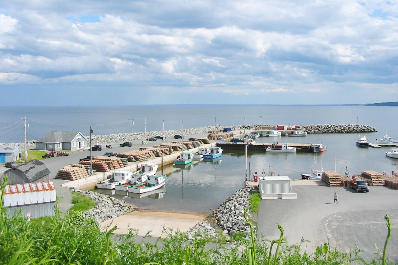
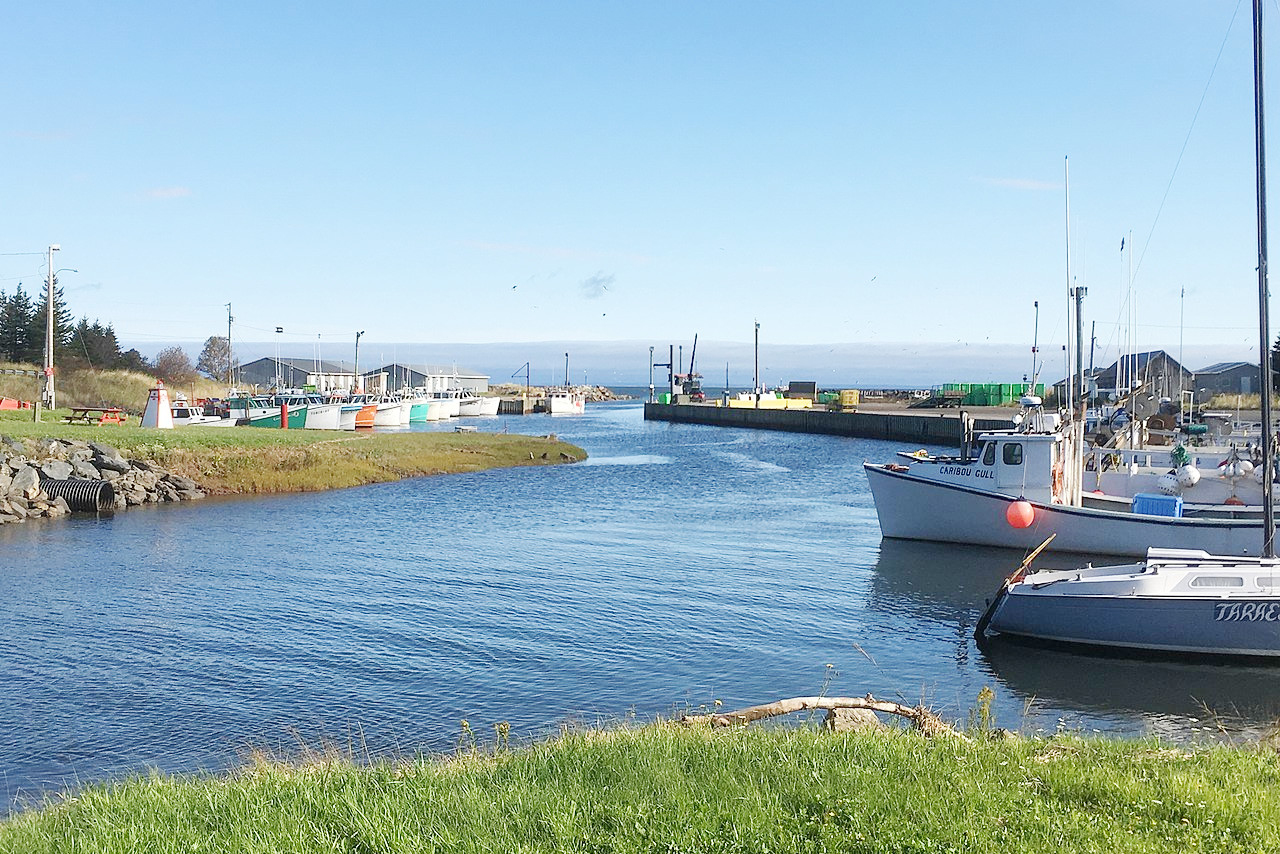 Toney River Harbor
The official websites
Nova Scotia
Canada's Ocean Playground
| Location: | Southeastern Canada |
| Coordinates: | 45° 00′ N, 63° 00′ W |
| Size: | • 420 km N-S; 530 km E-W • 260 miles N-S; 330 miles E-W |
| Terrain: | Peninsula with rolling hills intersected by lakes, rivers, and valleys |
| Climate: | Somewhat continental climate but without extreme temperatures. Warm summers and cool winters |
| Highest point: | White Hill 535 m / 1,755 ft |
| Forest: | 83% (2010) (source) |
| Population: | 979,449 (2021) |
| Population density: | Low (18/km²) |
| Capital: | Halifax |
| Languages: | English (93%); French (4%) |
| Human Development Index: | Very High (0.903) |