The Geography of
El Salvador
Why visit El Salvador?
El Salvador is a warm, lush and beautiful country. The smallest of the seven countries that make up Central America, there is beautiful mountain scenery, relaxing towns, Maya ruins, and many beautiful beaches all within an hour of any location.
Contents
Map
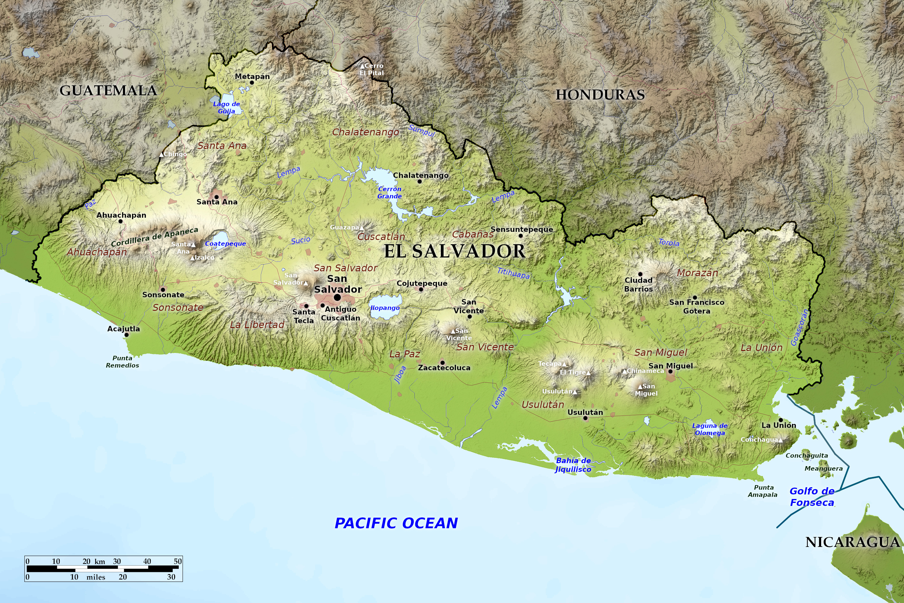 Relief map of El Salvador
What is the landscape of El Salvador like?
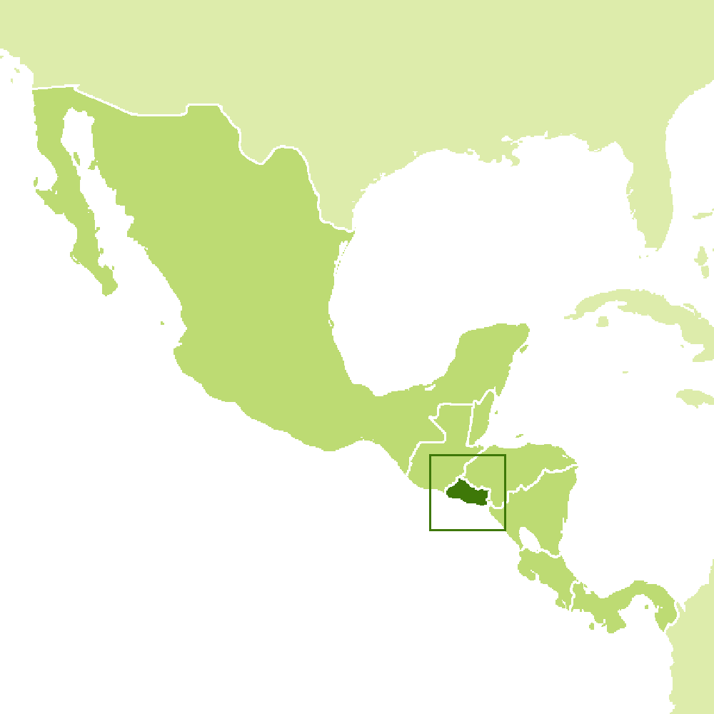
El Salvador is on the western side of the Central American Isthmus. It is roughly rectangular in shape with 300 kilometers (190 miles) of coastline on the Pacific Ocean. El Salvador is bordered by Guatemala to the west and Honduras to the north and east, and is separated from Nicaragua to the southeast by the Gulf of Fonseca.
El Salvador is one of the most seismologically active regions on earth and lies on three of the great tectonic plates. The movement of these plates causes the earthquake and volcanic activity of the region. Two parallel mountain ranges criss-cross El Salvador from east to west with a central plateau in between and a narrow coastal plain hugging the Pacific. These physical features divide the country into two regions. The mountain ranges and central plateau that cover 85 percent of the country make up the interior highlands. The remaining coastal plains are referred to as the Pacific lowlands.
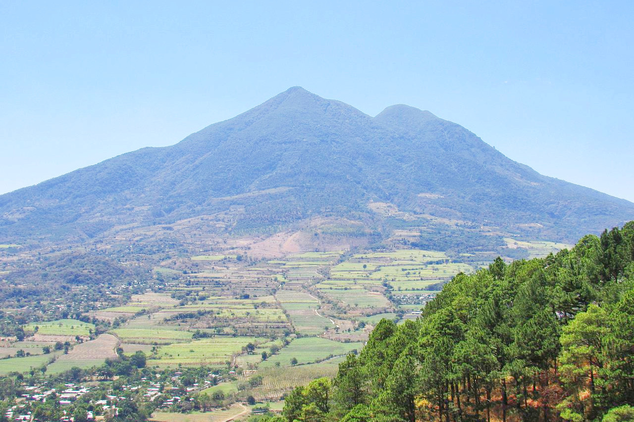
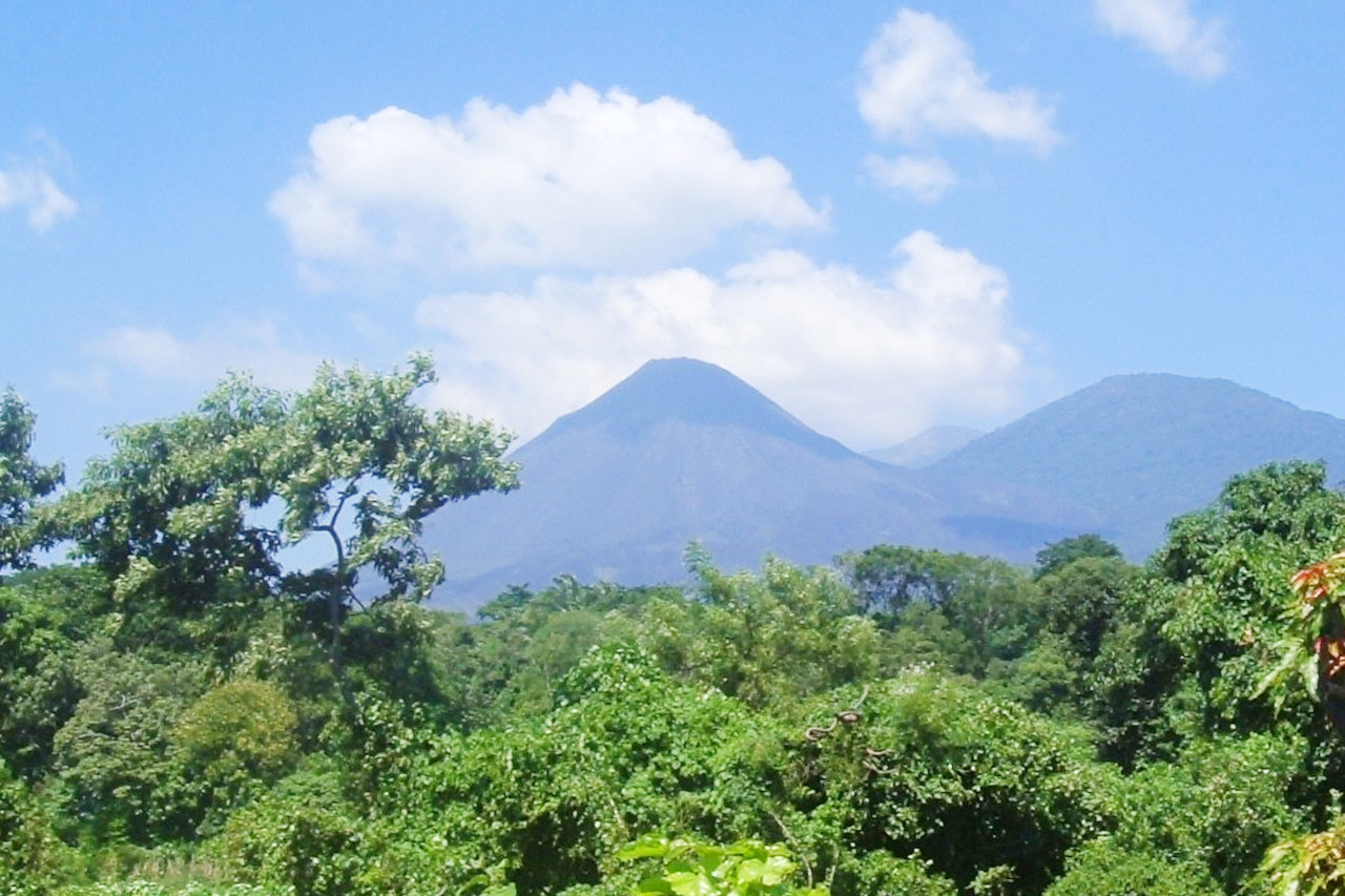
The northern mountain range, the Sierra Madre, forms a continuous chain along the border with Honduras. Altitudes in this region range from 1,600 to 2,200 meters (5,250–7,220 feet). The area was once heavily forested, but over-exploitation has led to severe erosion and it has become semi-barren. This makes it the most sparsely populated area in the country. The Southern Mountain Range is actually a discontinuous chain of more than twenty volcanoes grouped into five groups. The westernmost group near the Guatemalan border includes Izalco and Santa Ana, which at 2,381 meters (7,812 feet) is the highest volcano in El Salvador. Between the cones lie alluvial basins and rolling hills eroded by ash deposits. The volcanic soil is fertile and much of El Salvador's coffee is grown on these slopes.
The Central Plateau accounts for only 25 percent of the country's land area, but is home to the country's most dense population and largest cities. This plain is about 50 kilometers (30 miles) wide and has an average elevation of 600 meters (2,000 feet). The terrain here is hilly, with occasional escarpments, lava fields and geysers.
A narrow plain stretches from the volcanic coastline to the Pacific Ocean. This region ranges in width from one to thirty-two kilometers (20 miles), with the widest section lying to the east next to the Golfo de Fonseca. At La Libertad, on the other hand, the slopes of the volcanoes flow directly into the sea. The land surface in the Pacific lowlands is generally flat or gently undulating.
El Salvador has over 300 rivers, the most important of which is the Rio Lempa. The Rio Lempa rises in Guatemala, traverses the northern mountain range, flows along much of the central plateau, and finally bisects the southern volcanic range to empty into the Pacific Ocean. It is El Salvador's only navigable river and, together with its tributaries, drains about half of the country. Other rivers are generally short, draining the Pacific lowlands or flowing from the central plateau through gaps in the southern mountain range to the Pacific.
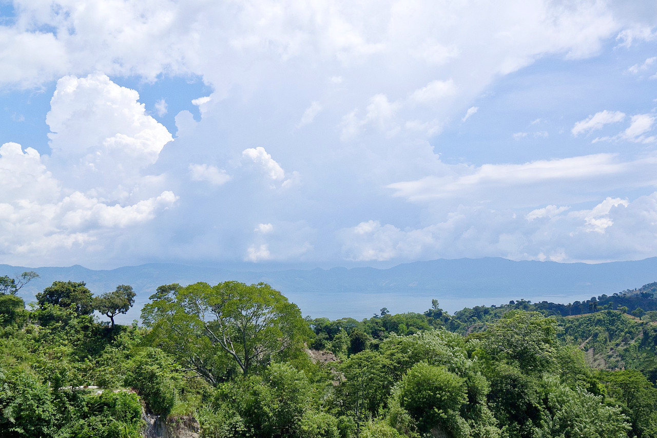
Numerous lakes of volcanic origin are found in the interior highlands; Many of these lakes are surrounded by mountains and have high, steep banks. The largest lake, Lago de Ilopango, is just east of the capital. Other large lakes are Lago de Coatepeque to the west and Lago de Güija on the Guatemalan border. The Cerron Grande Dam on the Rio Lempa created a large reservoir, the Embalse Cerron Grande, in northern El Salvador.
What is the nature of El Salvador like?
Indigenous trees include the mangrove, rubber, dogwood, mahogany, cedar, and walnut; pine and oak are found in the northern mountainous region. Some of the country's most spectacular forests are in the mountain regions. In the northwest corner, at the junction of El Salvador, Guatemala, and Honduras, is Montecristo National Park. The National Park is perpetually covered in clouds and mist. It is a spectacular rainforest, an increasingly rare type of ecosystem. Within the boundary of the park are giant ferns, air plants, and areas near the ground that never receive sunlight, since the foliage is so dense. Near the southwest coast, near the border with Guatemala, is the Impossible Forest (Bosque El Imposible) National Park. The park is home to four hundred species of trees and nearly three hundred species of birds, as well as to hundreds of species of butterfly. Three extinct volcanoes are located within the park boundaries, which is described as one of the last examples of coastal rainforest.
Native fauna of El Salvador (greatly reduced in recent decades) include endangered jaguars, jungle foxes, tree-dwelling spider monkeys, and opossums. There are also varieties of coyote, tapir, and armadillo, along with several kinds of parrots and various migratory birds. Fish, both freshwater and saltwater, turtles, iguanas, crocodiles, and alligators abound.
What is the climate of El Salvador like?
See our main article: The Climate of El Salvador
Located in the tropics, temperatures vary more with altitude than with season. The average temperature in the central highlands is 24°C (75°F) year round. But along the coast and at lower altitudes, the temperatures tend to be hotter.
There are two distinct seasons: the dry season, from November to April, and the wet season, from May to October.
| Climate data for San Salvador (1981-2010) | |||||||||||||
|---|---|---|---|---|---|---|---|---|---|---|---|---|---|
| Month | Jan | Feb | Mar | Apr | May | Jun | Jul | Aug | Sep | Oct | Nov | Dec | Year |
| Average high °C (°F) | 30.8 (87.4) | 32.0 (89.6) | 32.7 (90.9) | 32.7 (90.9) | 31.1 (88.0) | 30.1 (86.2) | 30.3 (86.5) | 30.5 (86.9) | 29.5 (85.1) | 29.5 (85.1) | 29.9 (85.8) | 30.2 (86.4) | 30.8 (87.4) |
| Daily mean °C (°F) | 22.8 (73.0) | 23.6 (74.5) | 24.2 (75.6) | 25.0 (77.0) | 24.6 (76.3) | 23.9 (75.0) | 23.9 (75.0) | 23.9 (75.0) | 23.3 (73.9) | 23.3 (73.9) | 23.0 (73.4) | 22.8 (73.0) | 23.7 (74.7) |
| Average low °C (°F) | 16.9 (62.4) | 17.6 (63.7) | 18.4 (65.1) | 19.8 (67.6) | 20.4 (68.7) | 20.0 (68.0) | 19.5 (67.1) | 19.7 (67.5) | 19.6 (67.3) | 19.3 (66.7) | 18.4 (65.1) | 17.5 (63.5) | 18.9 (66.0) |
| Average precipitation mm (inches) | 1 (0.0) | 2 (0.1) | 10 (0.4) | 36 (1.4) | 176 (6.9) | 279 (11.0) | 355 (14.0) | 319 (12.6) | 338 (13.3) | 208 (8.2) | 53 (2.1) | 9 (0.4) | 1,786 (70.4) |
| Source: Ministerio de Medio Ambiente y Recursos Naturales | |||||||||||||
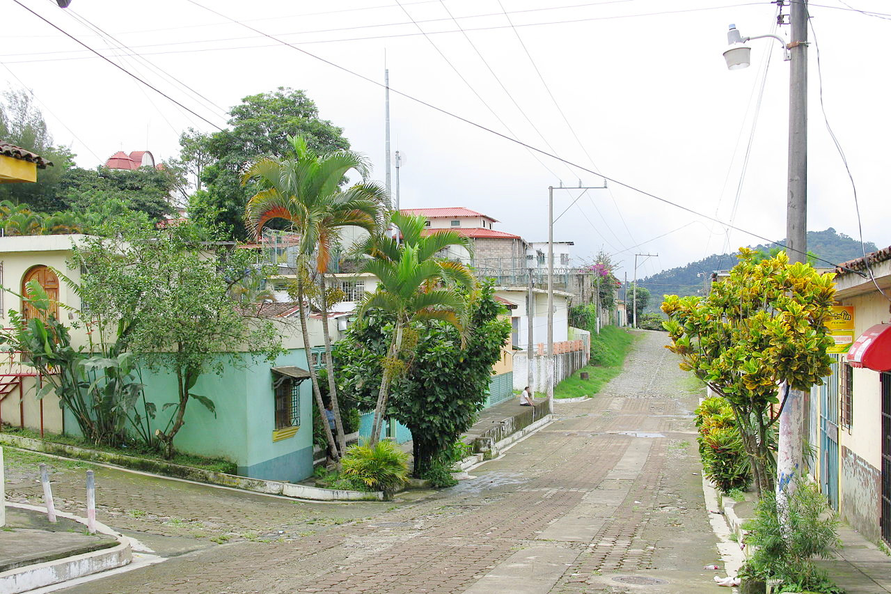
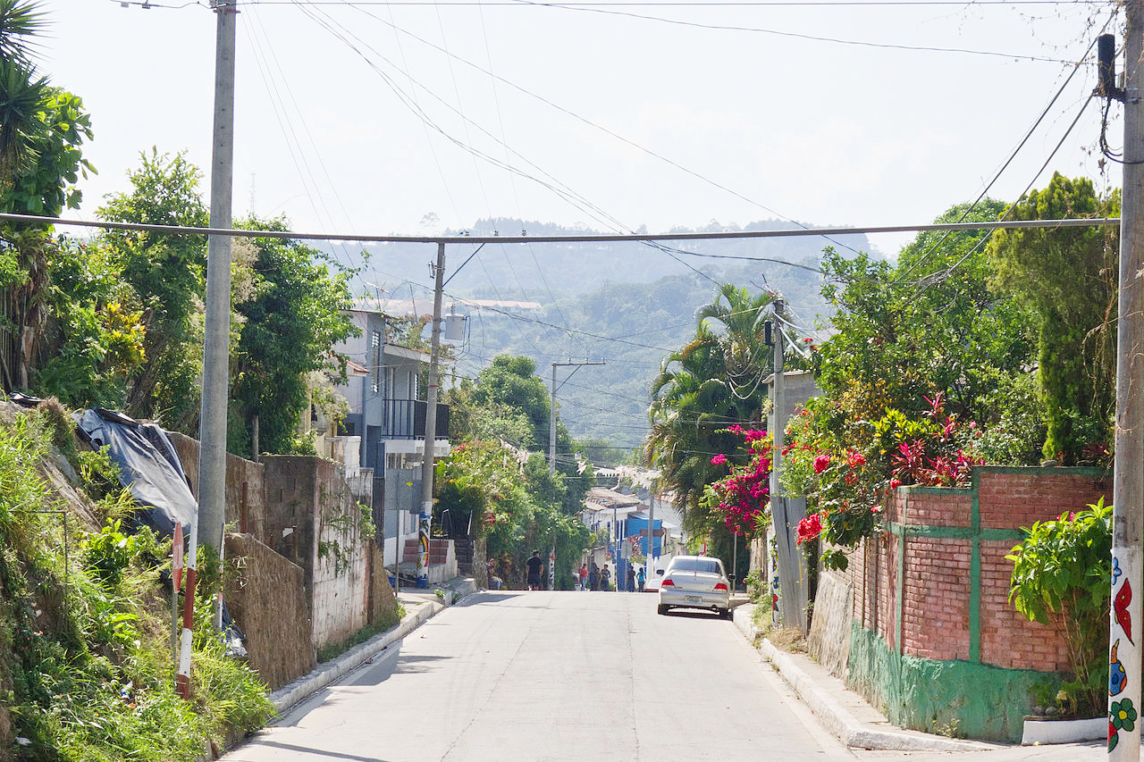
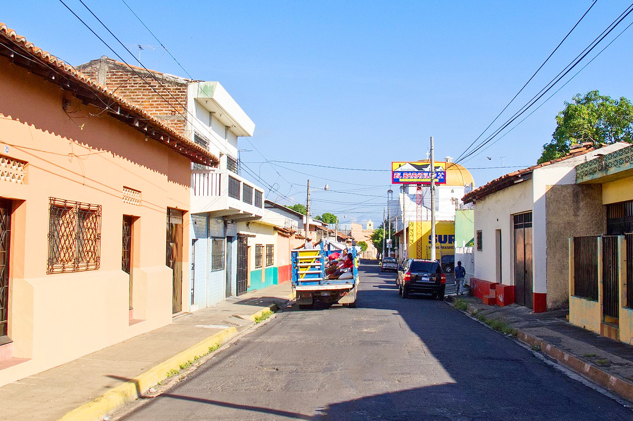 Street view in San Miguel
The official websites
El Salvador
The 45 Minute Country
| Location: | Central America, bordering the Pacific Ocean, between Guatemala and Honduras |
| Coordinates: | 13° 50′ N, 88° 55′ W |
| Size: | • 145 km N-S; 260 km E-W • 90 miles N-S; 160 miles E-W |
| Terrain: | Mostly mountains with narrow coastal belt and central plateau |
| Climate: | Tropical; rainy season (May to October); dry season (November to April); tropical on coast; temperate in uplands |
| Highest point: | Cerro El Pital 2,730 m / 8,960 ft |
| Forest: | 14% (2018 est.) |
| Population: | 6,568,745 (2022 est.) |
| Population density: | High (324/km²) |
| Capital: | San Salvador |
| Languages: | Spanish (official), Nawat (among some Amerindians) |
| Human Development Index: | Medium (0.675) |
