The Geography of
Arizona
Why visit Arizona?
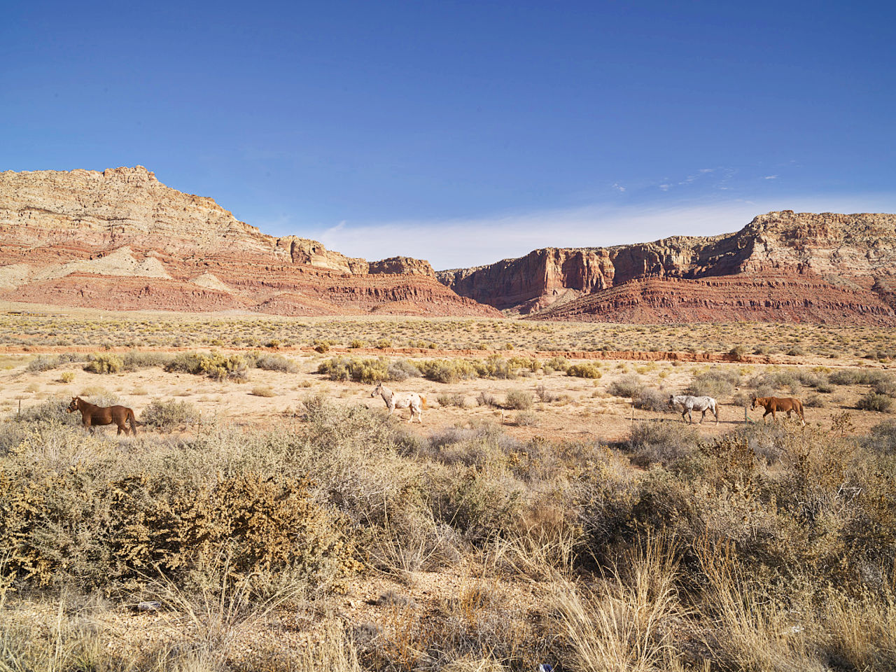
Arizona has many world-renowned sites such as the Grand Canyon or the ancient ruins in Tucson. Arizona is always very beautiful, with stunning landscapes that change with the weather. Parts of the State have enough rainfall to support large forests, while other portions is desert with colorful mesas of sandstone with scarped and pinnacled sides. The Colorado River runs through the Grand Canyon, one of the mightiest chasms in the world.
Contents
Map
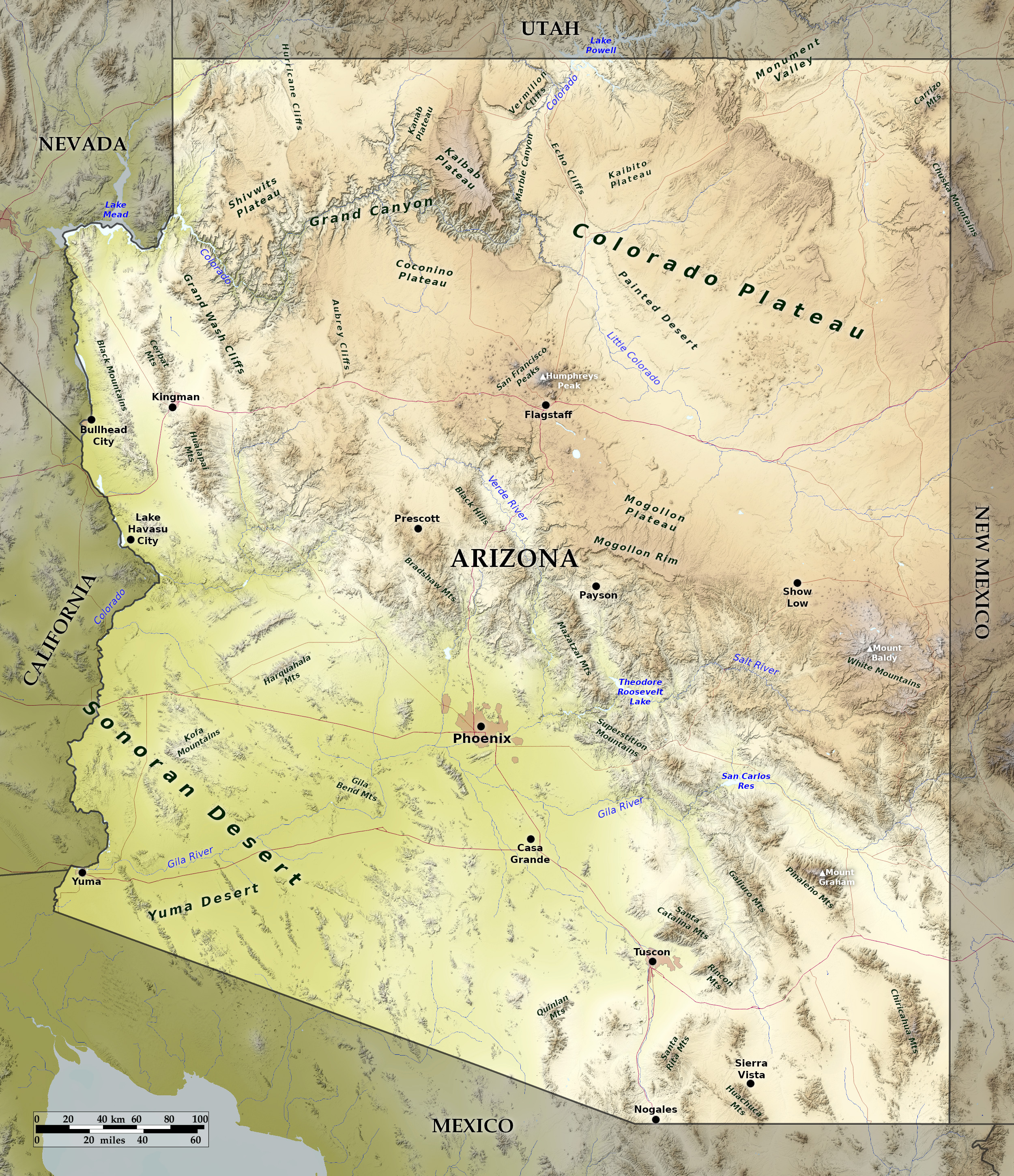 Relief map of Arizona
What is the landscape of Arizona like?
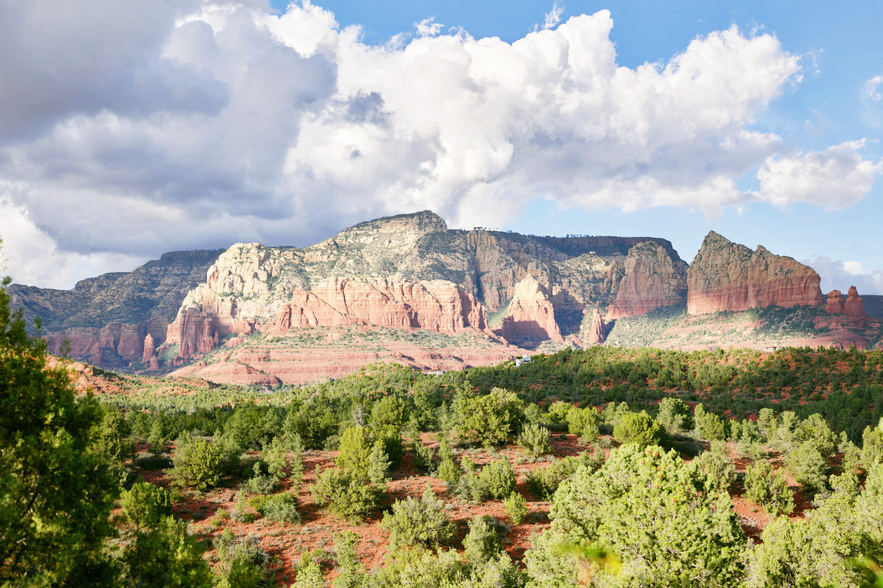
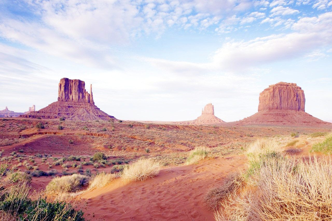
Arizona has three distinct regions: the great Colorado Plateau crossing the northern half of the State; a broad zone of mountain ranges running from northwest to southeast; and lastly a region of desert plains, occupying the southwest quarter of the state.
Colorado Plateau
The Colorado Plateau is the great northern plateau ranging in altitude from 5,000 to 8,000 feet (1,500–2,400 m). The plateau is not a plain—it is dominated by high mountains, divided by deep river canyons, scarred with dry gullies and the beds of intermittent streams, and varied with great shallow basins, sunken deserts, bold buttes, picturesque mesas, forests and only the occasional green valley.
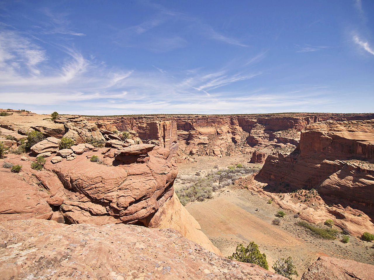
Dotting the plains are great isolated mesas of sandstone with scarped and pinnacled sides, often more than 1,000 feet (300 m) in sheer height. The northeast consists of a broken, canyon-cut, hill-studded, arid table-land, the average altitude of which is over 5,000 feet (1,500 m) above the sea, with many large areas from 6,500 to 8,000 feet (2,000–2,400 m). The few, and often intermittent rivers, which drain this arid region, run in deep narrow canyons.
The whole scenery of the northwest is that of a rough, rocky, dry region, interrupted by steep-sided gorges and scarp-fronted mesas and barren mountains, more or less covered with bunch-grass and scattered, stunted trees. The surface in general is rolling, with a gentle slope northward, and drains through the Little Colorado and other rivers into the Grand Canyon.
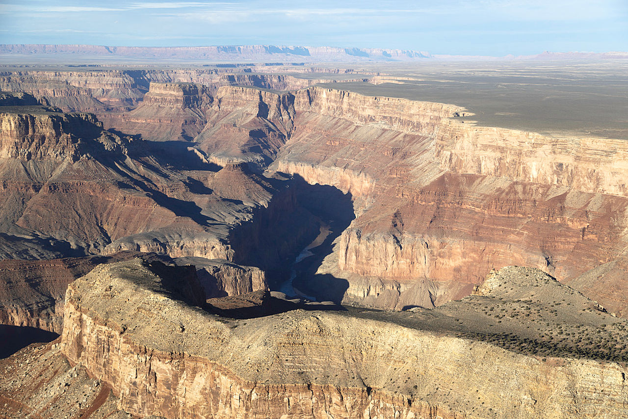
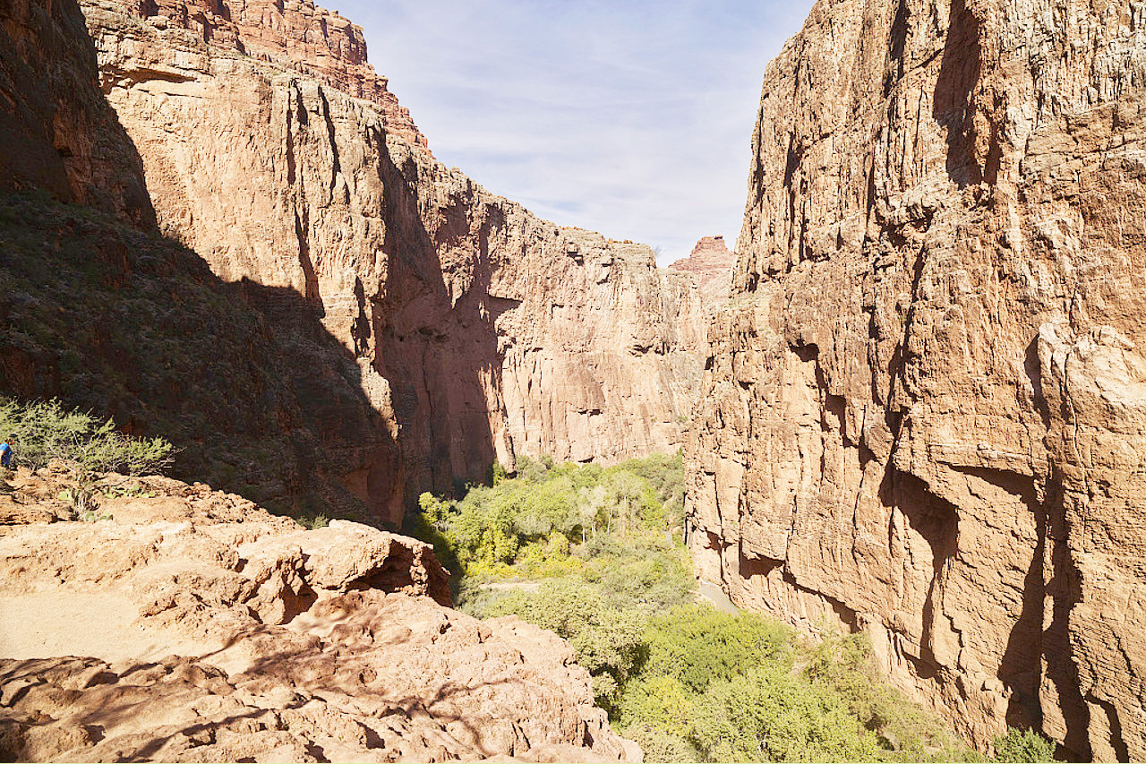
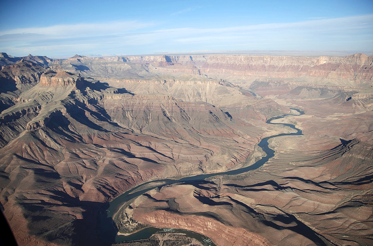
In the Grand Canyon the deep and narrow Colorado River flows between massive walls that rise to a perpendicular height of nearly 7,000 feet (2,100 m) above the river. It begins in the Marble Canyon, 66 miles long, and continues to the Grand Canyon which extends for a distance of 217 miles with a width of 4½ to 12 miles. It thus forms one of the most remarkable gorges in the world, the whole length being nearly 300 miles.
The Grand Canyon is unequalled in grandeur—innumerable side gorges have cut it to right and left; and weathering has etched out the cliffs and crags and helped to paint it in the colored bands that stretch before the eye. There are alcoves, cliffs, ledges, crags and side-canyons, each with its characteristic color and form. Into all these recesses the beds of rock with their various colors, run like broad ribbons, marvelously beautiful even at a distance of ten or twelve miles. And the vast space these walls enclose is crowded with gigantic architectural rock forms gorgeously colored and adorned with towers and spires like works of art.
 Aerial view of the Grand Canyon
South of this plateau is the valley of the Little Colorado, which joins the Colorado, while further south the ground rises into another plateau, the main portion of which is known as the Mogollon Plateau. In this district the country is beautiful and fertile, the mountains covered with pine-trees, and the valleys clothed with rich grama grass.
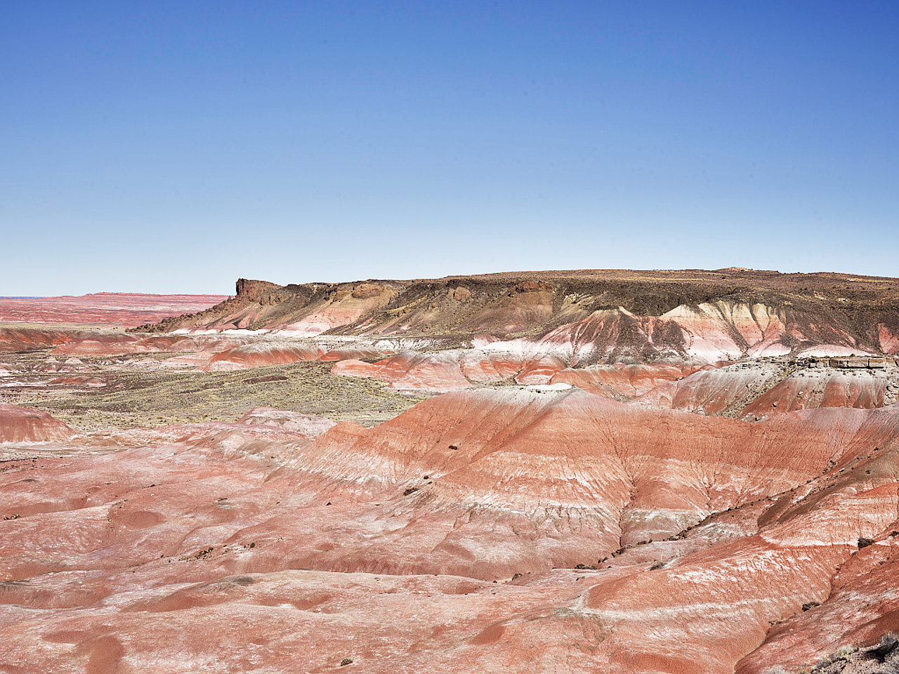
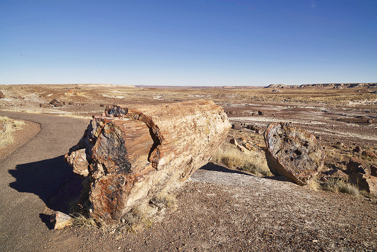
Towards the east is the Painted Desert, remarkable for the bright colours—red, brown, blue, purple, yellow and white—of its sandstones, shales and clays. Within the desert is a petrified forest, the most remarkable in the United States. This is a wonderful fossilized forest, with prostrate trunks four feet thick, cracked into exquisitely colored blocks. Blocks and logs of agate, chalcedony, jasper, opal and other silicate deposits lie in hundreds across this National Reserve.
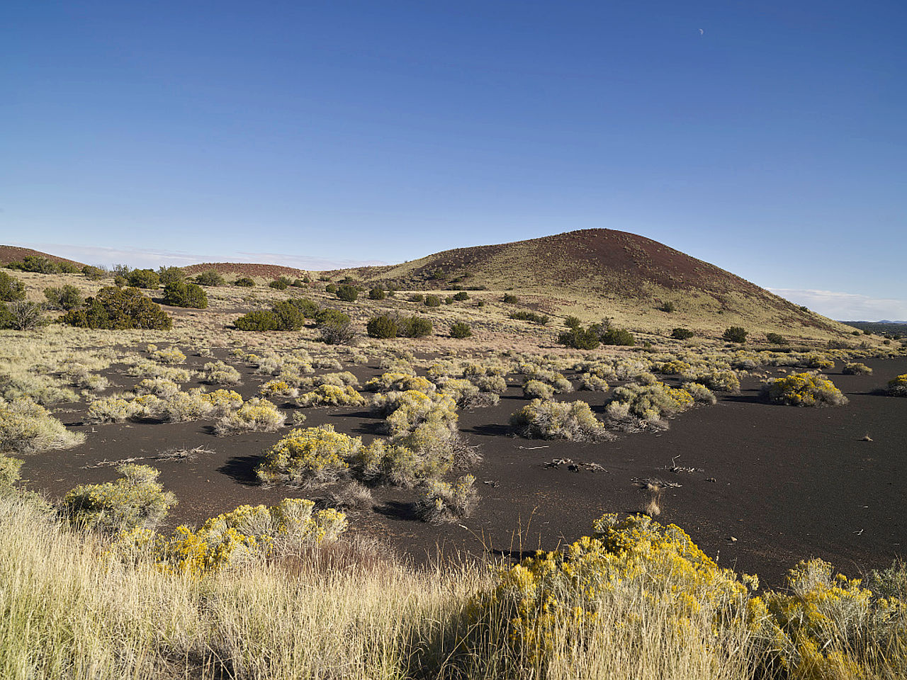
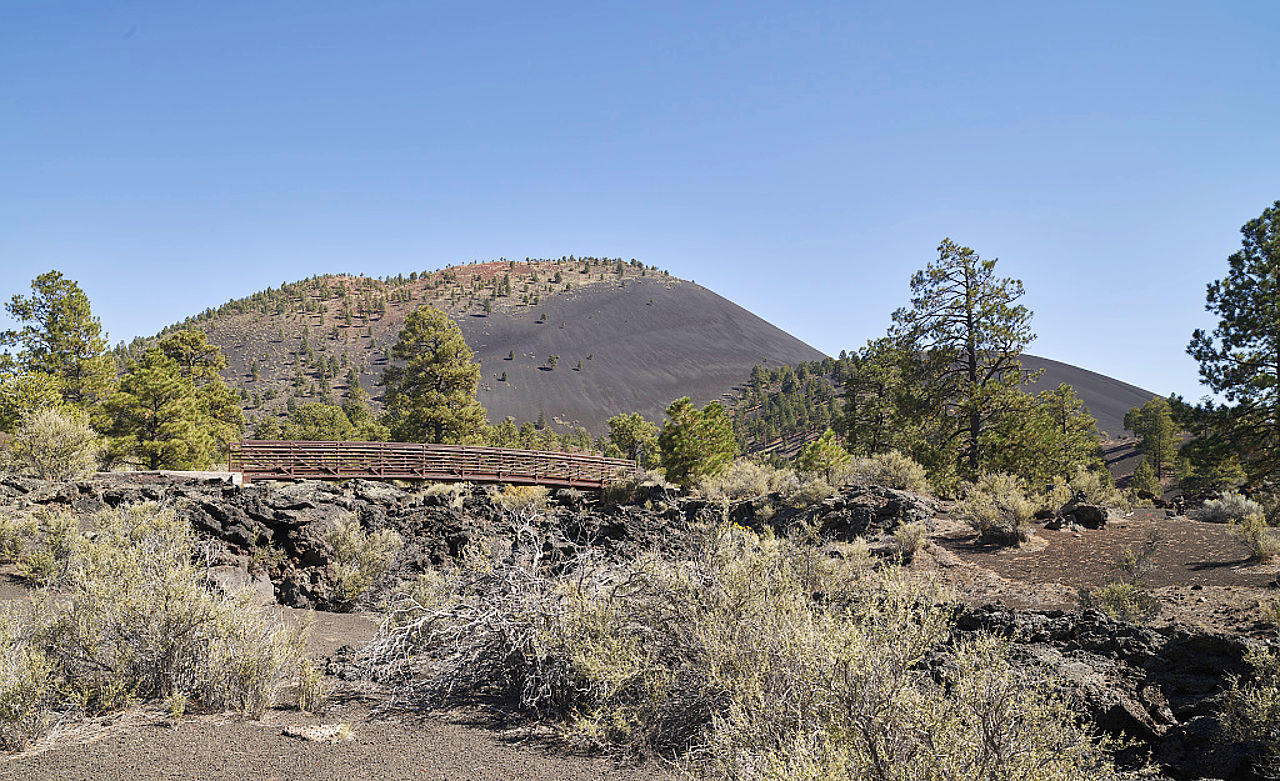
South and southeast of the the Grand Canyon, an immense mesa, increasing in altitude toward the north, extends for hundreds of miles. Everywhere there is evidence of water and wind erosion, of desiccation and weathering. These mesas are the most characteristic scenic feature of the highlands. The marks of volcanic action, particularly lava-flows, are also abundant and widely scattered.
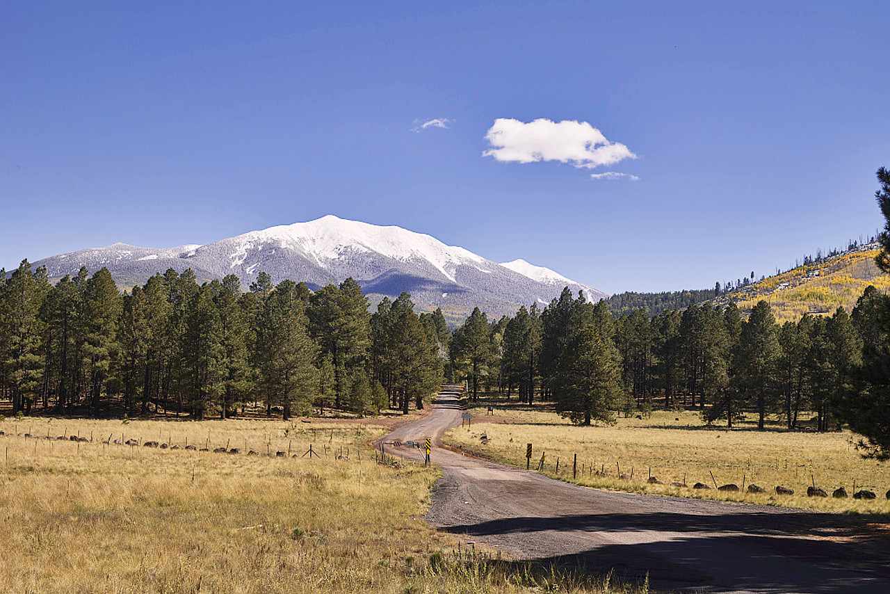
The highest mountains in Arizona are in the isolated San Francisco Peaks, north of Flagstaff. Six peaks rise from 11,460 to 12,637 feet (3,493–3,852 m); all are the remnants of extinct volcanoes. The highest of all is Humphreys Peak, a grand volcanic cone.
Mountain region
The mountain region is a band which extends northwest to southeast across the State. This region, which has a width of 70 to 150 miles, is filled with parallel mountain ranges which form long valleys. There are many of these mountain ranges and they have a general northwest and southeast trend, with intermediate broad valleys often 20 to 30 miles wide.
Separating the mountain region from the Colorado Plateau is an abrupt slope, often deeply eroded, crossing much of the State. In places the slope is a true escarpment falling 150 and even 250 feet (75 m) per mile. In the Aubrey Cliffs and along the Mogollon Rim, it often has an elevation of 1,000 to 2,000 feet (300–600 m), and the ascent is difficult through long distances except to the most experienced climber.
The Black Mountains and the Cerbat Mountains, in the northwest part of Arizona, extend very nearly north to south. In central Arizona the Bradshaw Mountains, Black Hills, and the Mazatzal Mountains send foot hills out in every direction, and their flanks sink gradually to the mesas or table lands sloping toward the southwest. The height of the town of Prescott is over 6,000 feet (1,800 m) above sea level, while the hills east and northeast of Prescott, reach an altitude of from 8,000 to 9,000 feet (2,400–2,700 m). In the east of Arizona, the White Mountains form a high plateau stretching beyond Arizona into New Mexico.
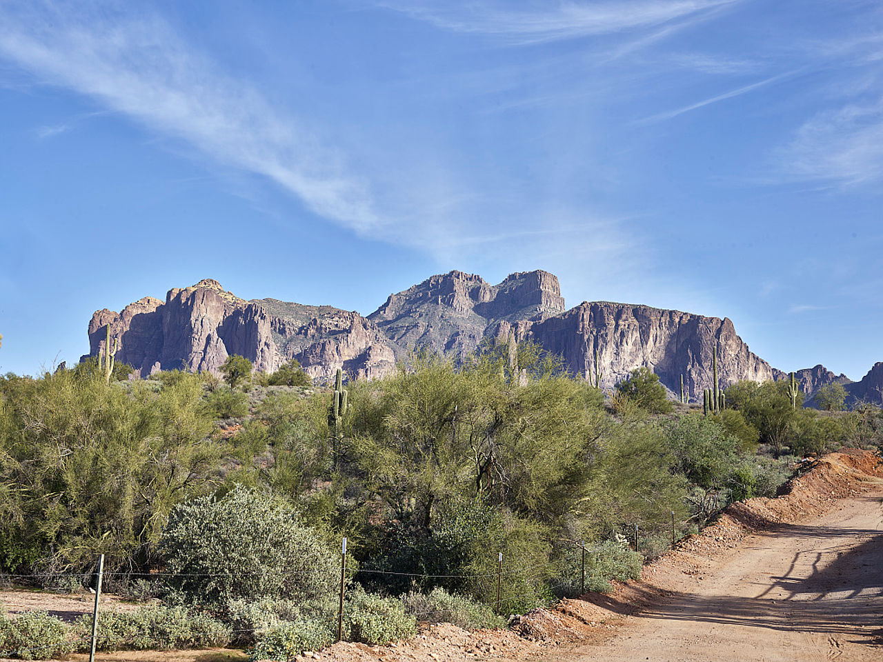 The Superstition Mountains, east of Pheonix
In the southeast corner of Arizona the mountain ranges are much broken down and obscured by erosion and lava deposits. This is a region of greatly eroded ranges and gentle aggraded valleys.
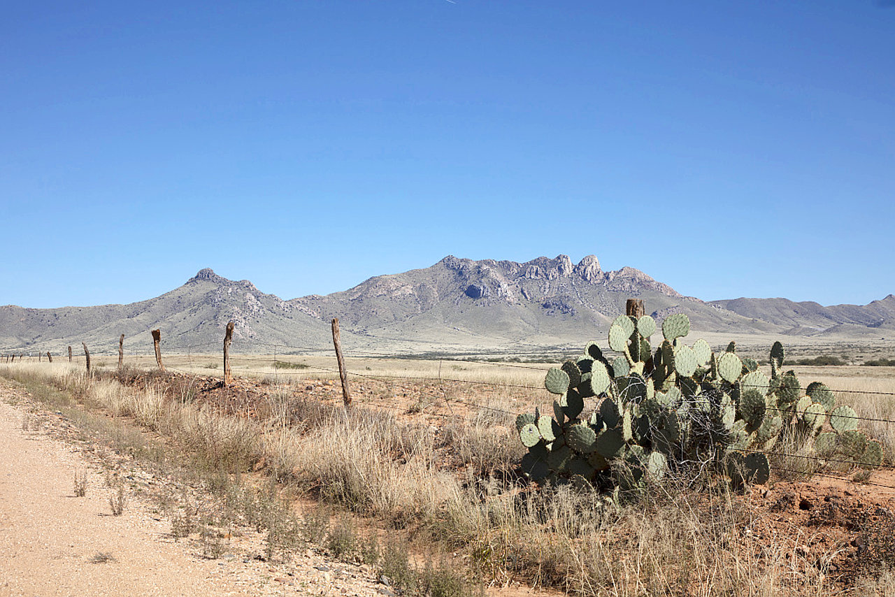
Desert plains
The southwest of Arizona is made up of the Desert Plains, the third or desert region of the state. The plains near the mountain region slope toward the southwest across wide valleys separated by isolated mountain ranges, then across broad desert stretches traversed by rocky ridges and terraced mesas. From this plain isolated mountains and mountain ranges rise abruptly, although they are generally lower than the mountains to the north. The city of Phoenix lies in a great plain, in the centre of a region of pastures, gardens and orchards, a large and beautiful farming district.
This southern part of the State is, on the whole, very desert-like, and all the water-courses (most of which are dry except for a short time after rains) lead downward to the Gila River, a broad, shallow river flowing into the Colorado River near its mouth. This is a great desert plain, only little above sea-level, cut by gullied stream-beds. Parts of the Yuma Desert near the border with Mexico are shifting sand.
What is the nature of Arizona like?
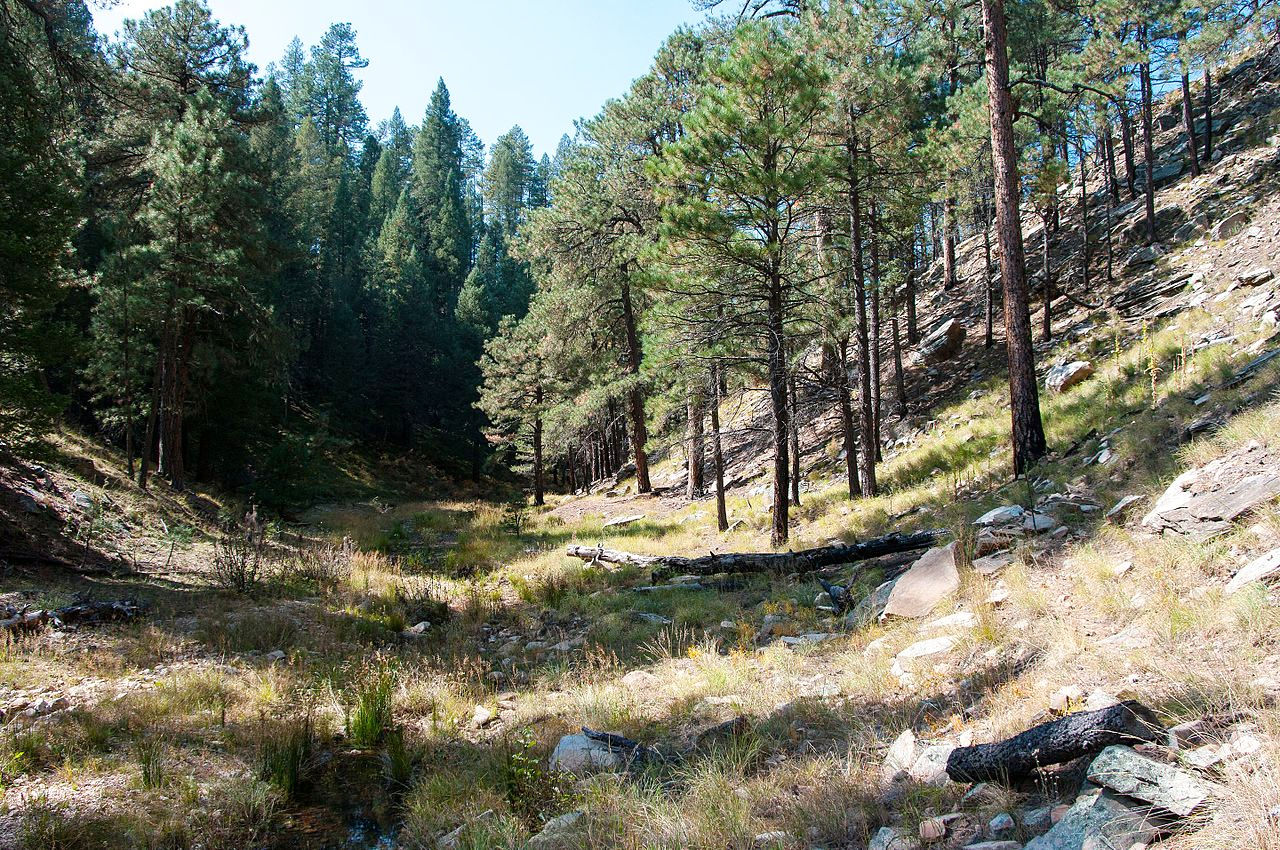
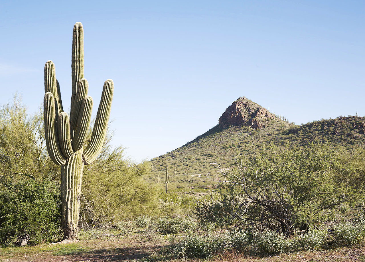
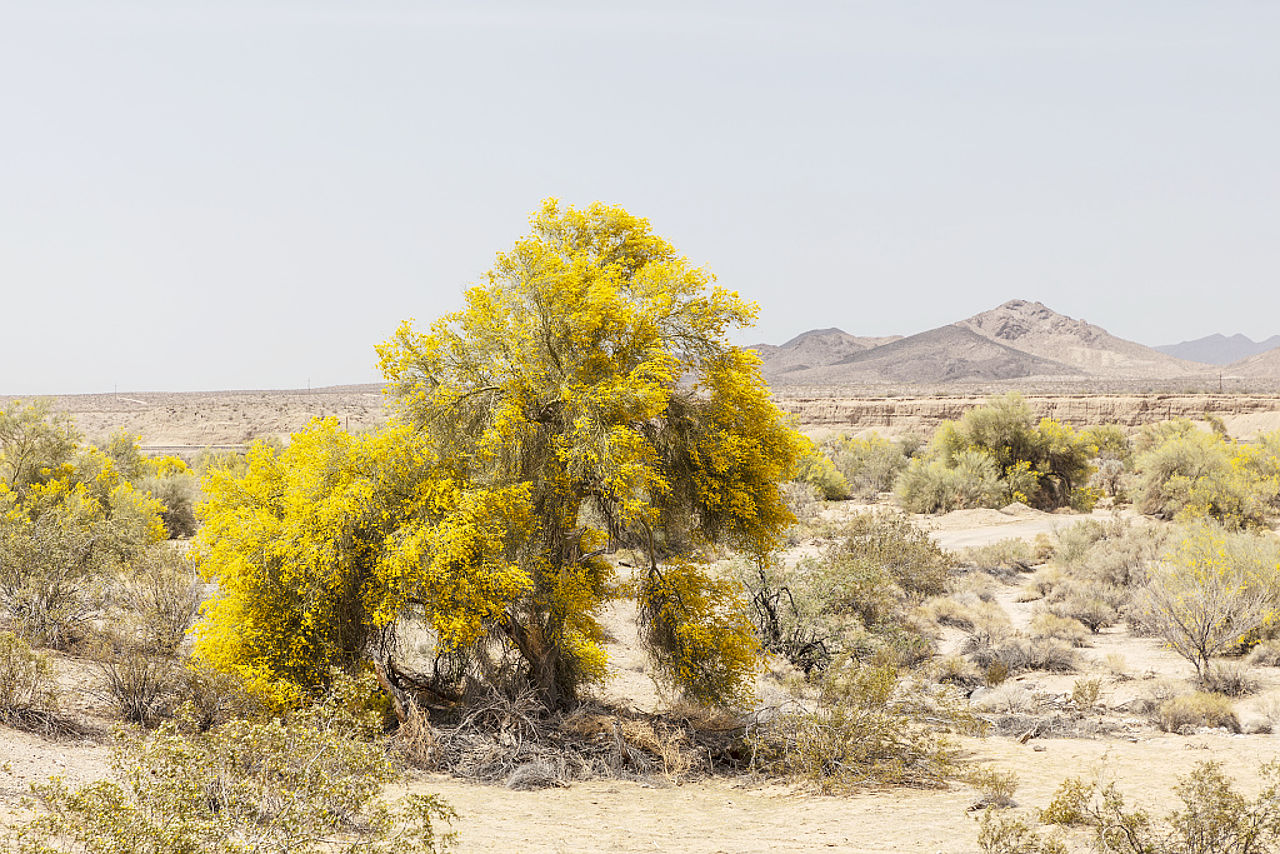
Arizona supports a huge variety of plants from upper mountain forest to desert vegetation. The mountain areas of Arizona are covered with forests of pine and other trees, while the cottonwood follows every stream. The high mountains have forests of white fir, Douglas fir, Engelmann spruce, and quaking aspen, whereas the lower slopes have the ponderosa pine and the Arizona pine. Characteristic trees of the plateaus and plains in central and northern Arizona are the junipers, pinyons, and evergreen oaks. There are many shrubs, the sagebrush is universally conspicuous, and a very large number of different grasses form a diverse vegetation.
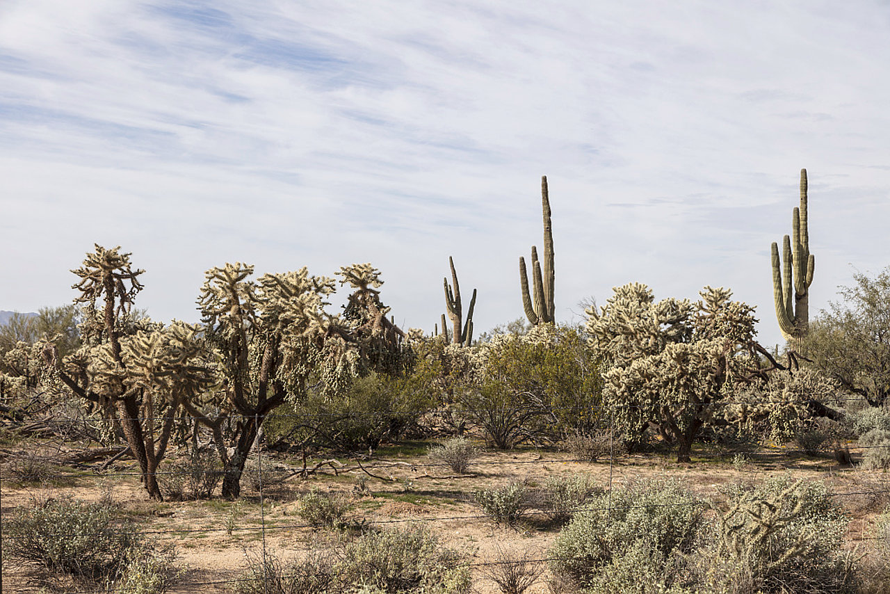
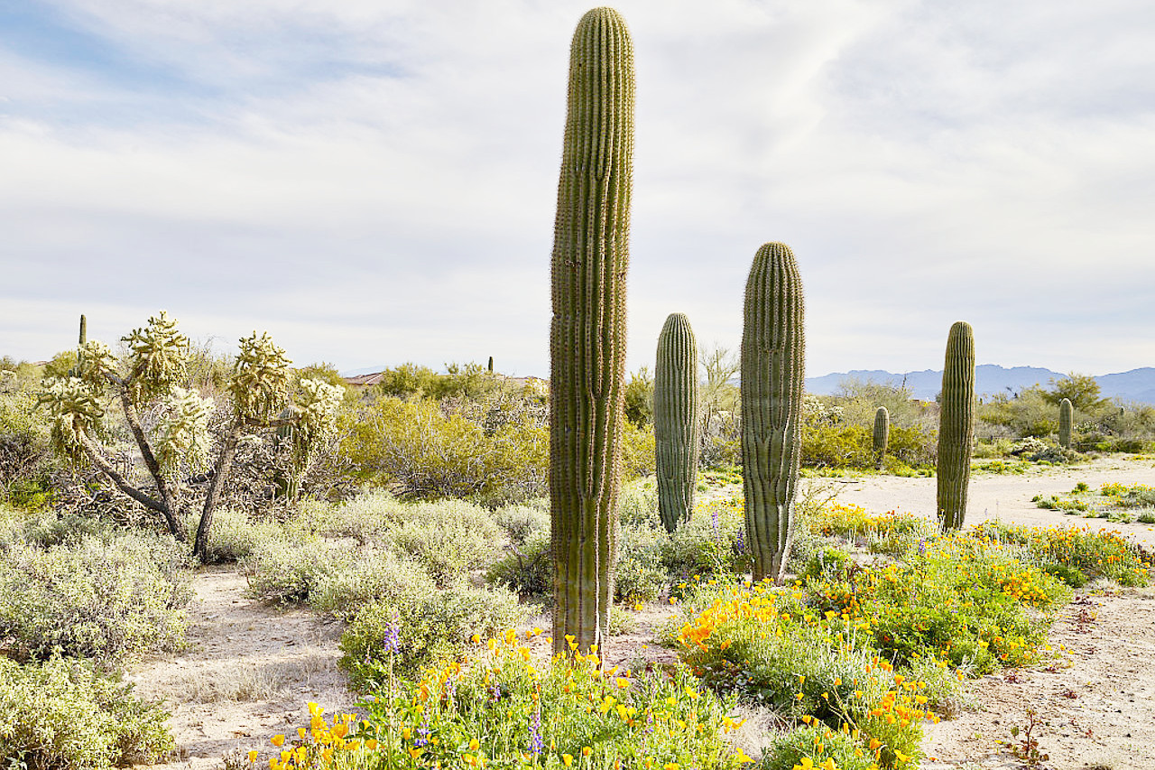
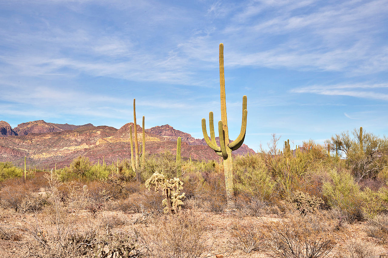
In the regions of desert and semi-desert, there are soapweed, acacias, agaves, yuccas and dasylirions; the creosote bush, mesquite tree, and many species of cactus. In places giant cacti grow in groves, attaining a height of 40 and even 50 feet (15 m). The mesquite trees vary in size from a tangled thorny shrub to a spreading tree up to 50 feet (15 m) high. Enduring great extremes of heat and moisture, it is throughout the arid southwest the most important native tree.
It is easy to exaggerate the barrenness of the desert. There are indigenous grasses that spring up over the mesas after the summer rains. In the driest regions there is green growth in the rainy season, and a rich display of small wildflowers, as well as the enormous flower clusters of the yucca, and blooms in pink and orange, crimson, yellow and scarlet of the giant cactus.
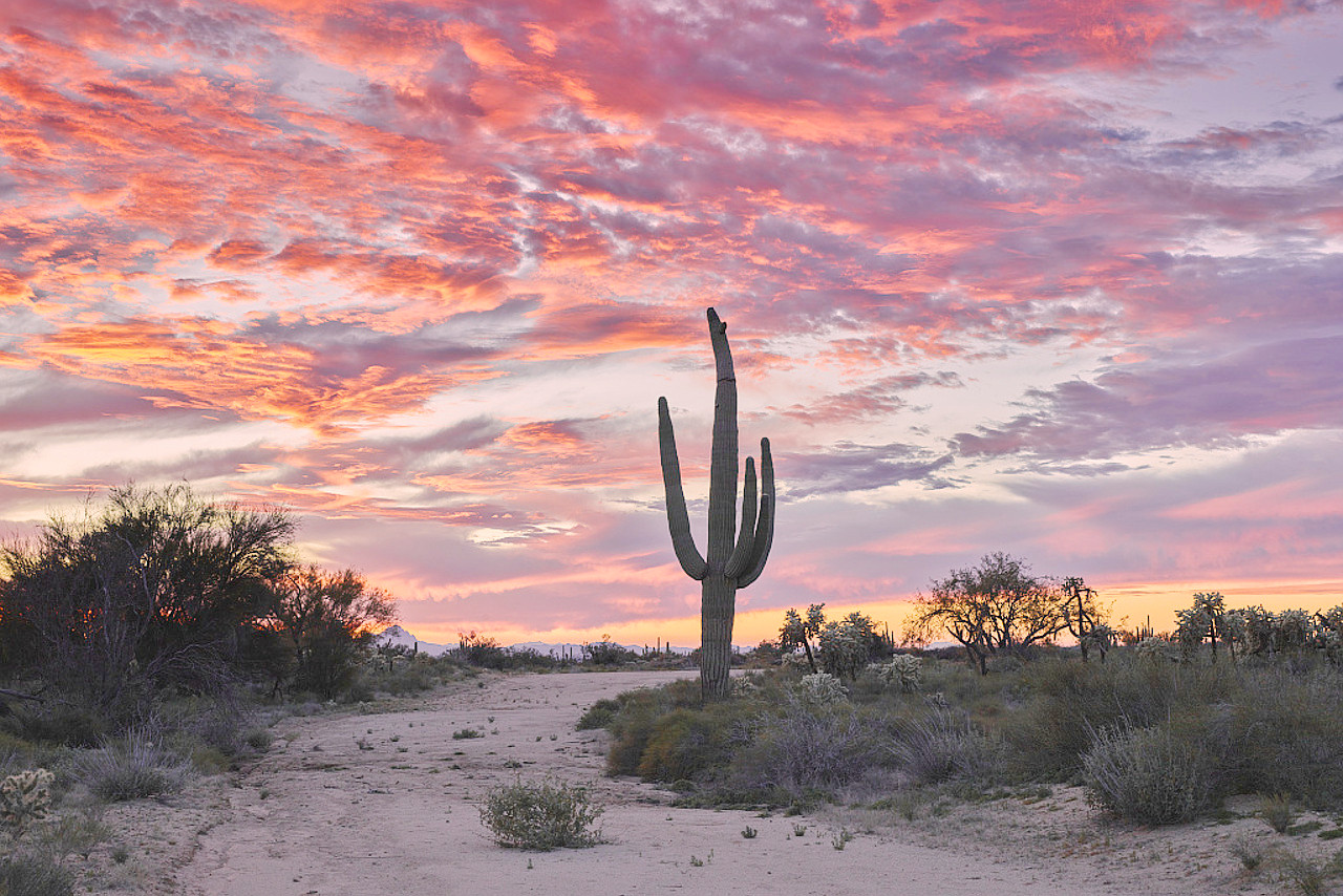 Sunset silhouettes a saguaro cactus in the desert north of Tucson
What is the climate of Arizona like?
.jpg&oldid=323412126)
Arizona experiences a wide range in temperature, from temperate temperatures in the mountains on the plateau to warm heat in the foothills to semi-tropic heat in the lower valleys of the southwest. Generally speaking, during two-thirds of the year the temperature is really delightful; the nights are cool, the mornings bracing, the days mild though splendid. Intense heat prevails in July, August and September. But even in the sandy region around Yuma, the hottest district, the dry atmosphere keeps the summer's heat from being very oppressive and makes the winter climate delightful.
Arizona also experiences a wide variation in rainfall. Flagstaff gets a good amount of rainfall, but Yuma is very dry. Rainfall is generally highest from July to September and continues to April, but May and June are very dry. Sometimes no rain falls over the greatest part of Arizona for many months. Many rivers that are turned in spring or by summer cloud-bursts into torrents are normally dry gulches. Winter snow occurs in the mountainous country of the north and sharp frosts are frequent even in the Salt and Gila valleys; but nowhere are the mountains perpetually snow-capped.
| Climate data for Phoenix, Arizona (1991–2020) | |||||||||||||
|---|---|---|---|---|---|---|---|---|---|---|---|---|---|
| Month | Jan | Feb | Mar | Apr | May | Jun | Jul | Aug | Sep | Oct | Nov | Dec | Year |
| Average high °F (°C) | 67.6 (19.8) | 70.8 (21.6) | 78.1 (25.6) | 85.5 (29.7) | 94.5 (34.7) | 104.2 (40.1) | 106.5 (41.4) | 105.1 (40.6) | 100.4 (38.0) | 89.2 (31.8) | 76.5 (24.7) | 66.2 (19.0) | 87.1 (30.6) |
| Daily mean °F (°C) | 56.8 (13.8) | 59.9 (15.5) | 66.3 (19.1) | 73.2 (22.9) | 82.0 (27.8) | 91.4 (33.0) | 95.5 (35.3) | 94.4 (34.7) | 89.2 (31.8) | 77.4 (25.2) | 65.1 (18.4) | 55.8 (13.2) | 75.6 (24.2) |
| Average low °F (°C) | 46.0 (7.8) | 49.0 (9.4) | 54.5 (12.5) | 60.8 (16.0) | 69.5 (20.8) | 78.6 (25.9) | 84.5 (29.2) | 83.6 (28.7) | 78.1 (25.6) | 65.6 (18.7) | 53.7 (12.1) | 45.3 (7.4) | 64.1 (17.8) |
| Average precipitation inches (mm) | 0.87 (22) | 0.87 (22) | 0.83 (21) | 0.22 (5.6) | 0.13 (3.3) | 0.02 (0.51) | 0.91 (23) | 0.93 (24) | 0.57 (14) | 0.56 (14) | 0.57 (14) | 0.74 (19) | 7.22 (183) |
| Source: NOAA | |||||||||||||
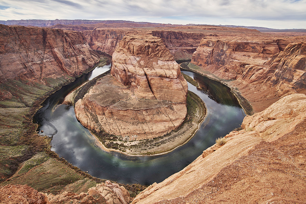 Horseshoe Bend on the Colorado River
The official websites
Arizona
The Grand Canyon State
| Location: | Rocky Mountains region of the southwestern United States |
| Coordinates: | 34° 15′ N, 111° 45′ W |
| Size: | • 635 km N-S; 545 km E-W • 395 miles N-S; 340 miles E-W |
| Terrain: | Arid upland region, known as the Colorado Plateau, characterized by deep canyons including the Grand Canyon. Sonora Desert in the southwest |
| Climate: | Hot and dry. Hot summers and mild winters |
| Highest point: | Humphreys Peak 3,852 m / 12,637 ft |
| Forest: | 26% (2016) (source) |
| Population: | 7,278,717 (2019) |
| Population density: | Low (23/km²) |
| Capital: | Phoenix |
| Languages: | English; Spanish; Navaho; other Native American languages |
| Human Development Index: | Very High (0.913) |