The Geography of
Utah
Why visit Utah?
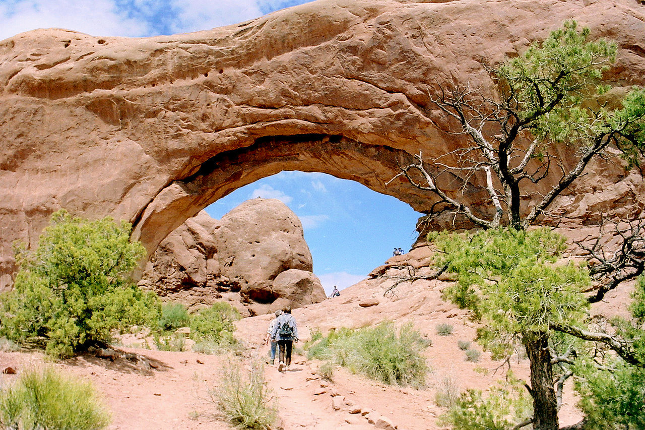
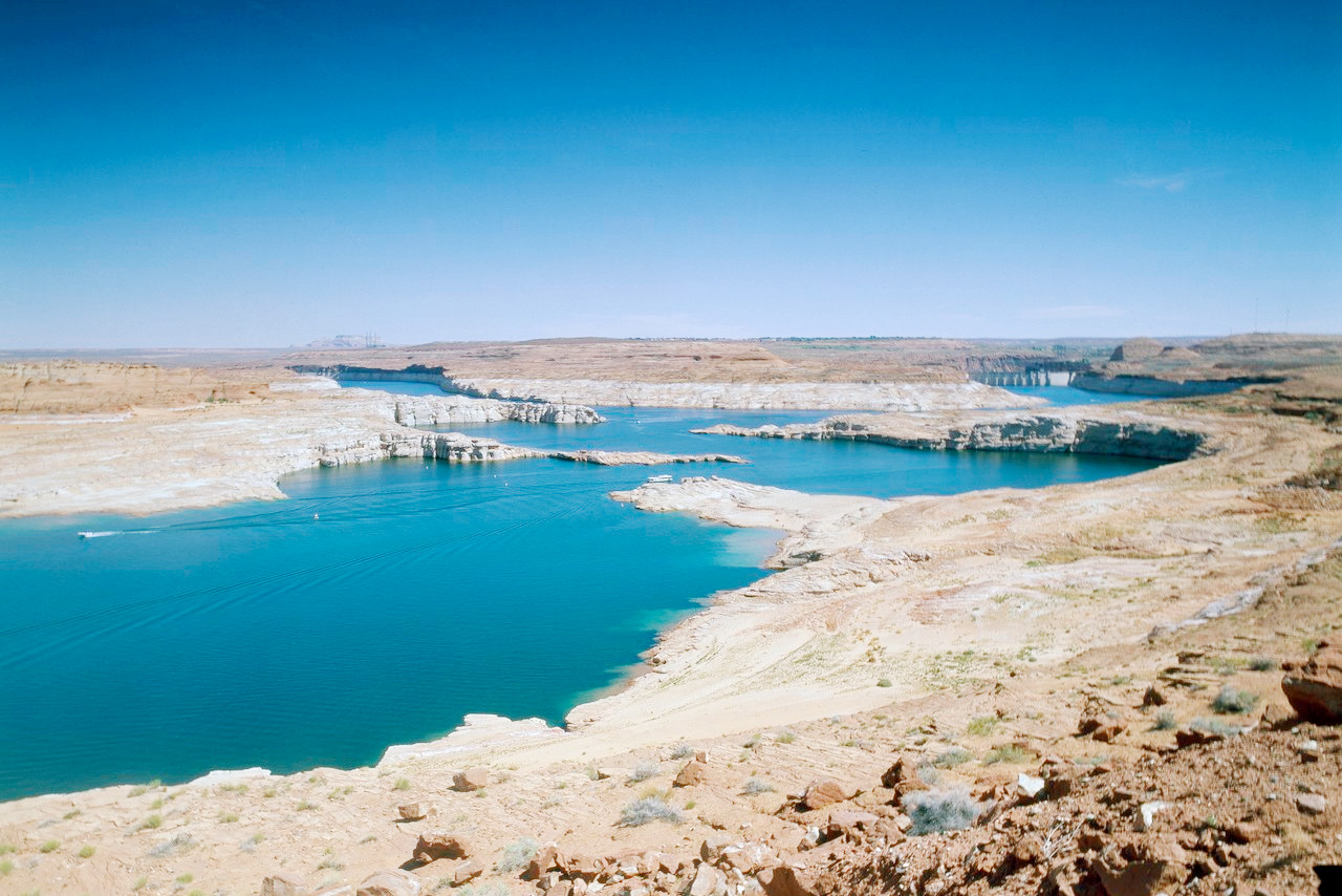
Utah has stunning landscapes, from the natural canyons and valleys, to the vast expanses of wilderness and the huge array of parks. Some of the beautiful places in Utah include the Wasatch Mountains, Zion National Park, Arches National Park, Bryce Canyon National Park, Lake Powell, and the Great Salt Lake. This makes Utah one of the top outdoor destinations in the United States.
Map
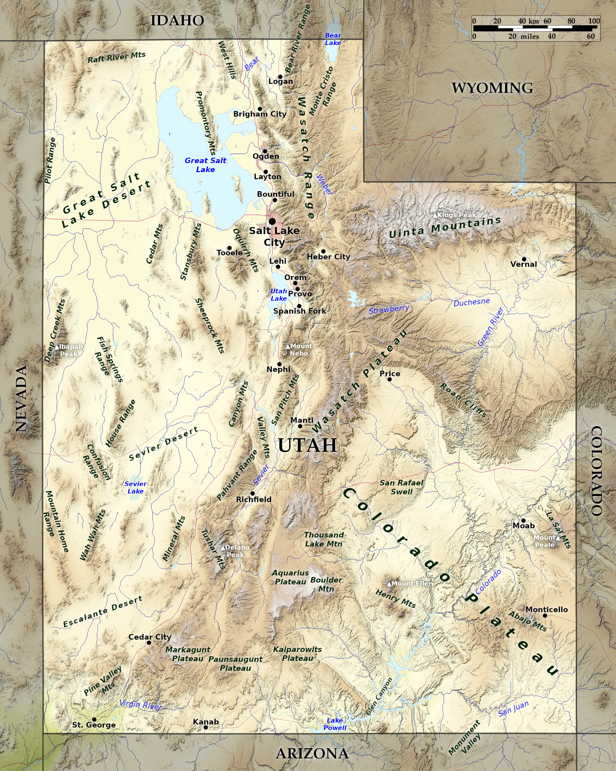 Relief map of Utah
What is the landscape of Utah like?
Broadly speaking, Utah can be thought of as the Colorado Plateau to the east, mountains in middle, and the Great Basin to the west with the Great Salt Lake
Eastern Utah
.jpg)
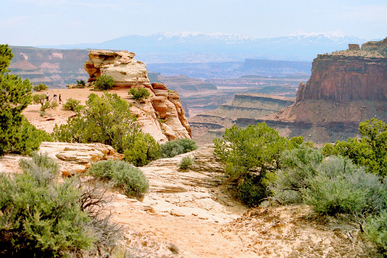
The eastern part of Utah consists of high plateaus, and constitutes a part of the Colorado Plateau. The high plateaus consist of great blocks of the earth's crust which are separated from each other by fault-lines. Erosion has developed deep and sometimes broad valleys along the fault-lines and elsewhere, so that many of the blocks and portions of blocks are isolated from their neighbours. The plateau summits rise to elevations of 9,000 to 11,000 feet (2,700–3,350 m), are generally forested. The people live along the rivers in the valleys between the plateaus. By far the greater part of the Colorado Plateau is drained by the Colorado river and its tributaries, the most important of which are the Green, Grand and San Juan, portions of whose courses lie in canyons of remarkable grandeur.
The northernmost member of the high plateaus is a broad east-west trending arch known as the Uinta Mountains. Local glaciation has carved the higher levels of this range into a maze of amphitheatres containing lakes, separated from each other by arêtes and alpine peaks. Among the peaks is Kings Peak at 13,528 feet (4,123 m), the highest point in the State.
.JPG)
In the southern part of the state the high plateaus are terminated by a series of giant terraces which descend to the general level of the Grand Canyon Platform in northern Arizona. The terraces represent the out-cropping edges of hard sandstone layers and are named according to the colour of the rock exposed in the south-facing escarpments, the Pink Cliffs (highest), White Cliffs and Vermilion Cliffs which afford magnificent scenery.
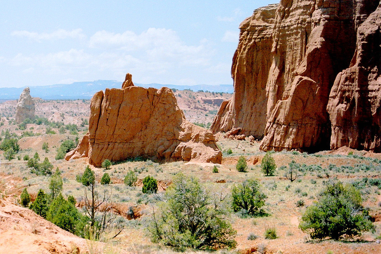
In the southeastern part of Utah are lower desert plateaus, and several other mountain groups. The Henry Mountains are formed by the intrusion of molten igneous rock between the layers of sediments causing the overlying layers to arch up into dome mountains. Erosion has dissected these domes far enough to give a rugged topography. The highest peaks exceed 11,000 feet (3,350 m).
Western Utah
Western Utah belongs in the Great Basin province, and is characterized by north-south mountain ranges separated by desert basins. Western Utah is separated from the Colorado Plateau by a series of great fault scarps, by which one descends abruptly to a level of but 5,000 or 6,000 feet (1,500–1,800 m) above sea-level. The floor of the Great Basin is formed of alluvium washed from the high plateaus and mountain ranges giving gently sloping or level desert plains, from which isolated mountain ranges rise like islands from the sea.
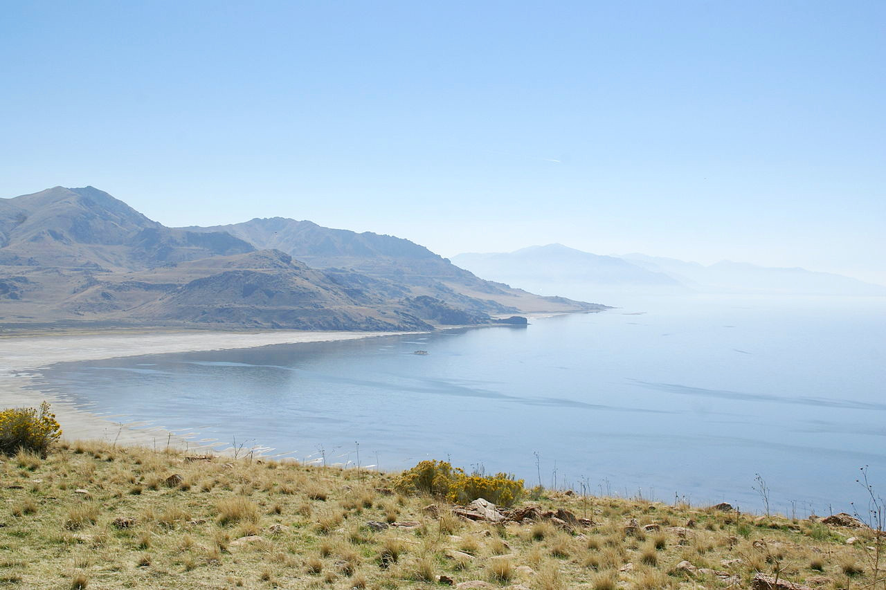
The barren "mud flats," frequently found on the desert floor have resulted from the drying up of temporary shallow lakes, or playas. Great Salt Lake, a shallow body of highly concentrated brine in northwest Utah, is a shrunken remnant of a once much greater lake known as Lake Bonneville whose old shore-lines are plainly visible on many mountain slopes. The mountain ranges of the Basin Region have been carved by erosion into rugged shapes. Oquirrh, Sheeprock, House, and Mineral Mountains are typical examples of these north-south "basin ranges," which rise abruptly from the desert plains and are themselves partial deserts.
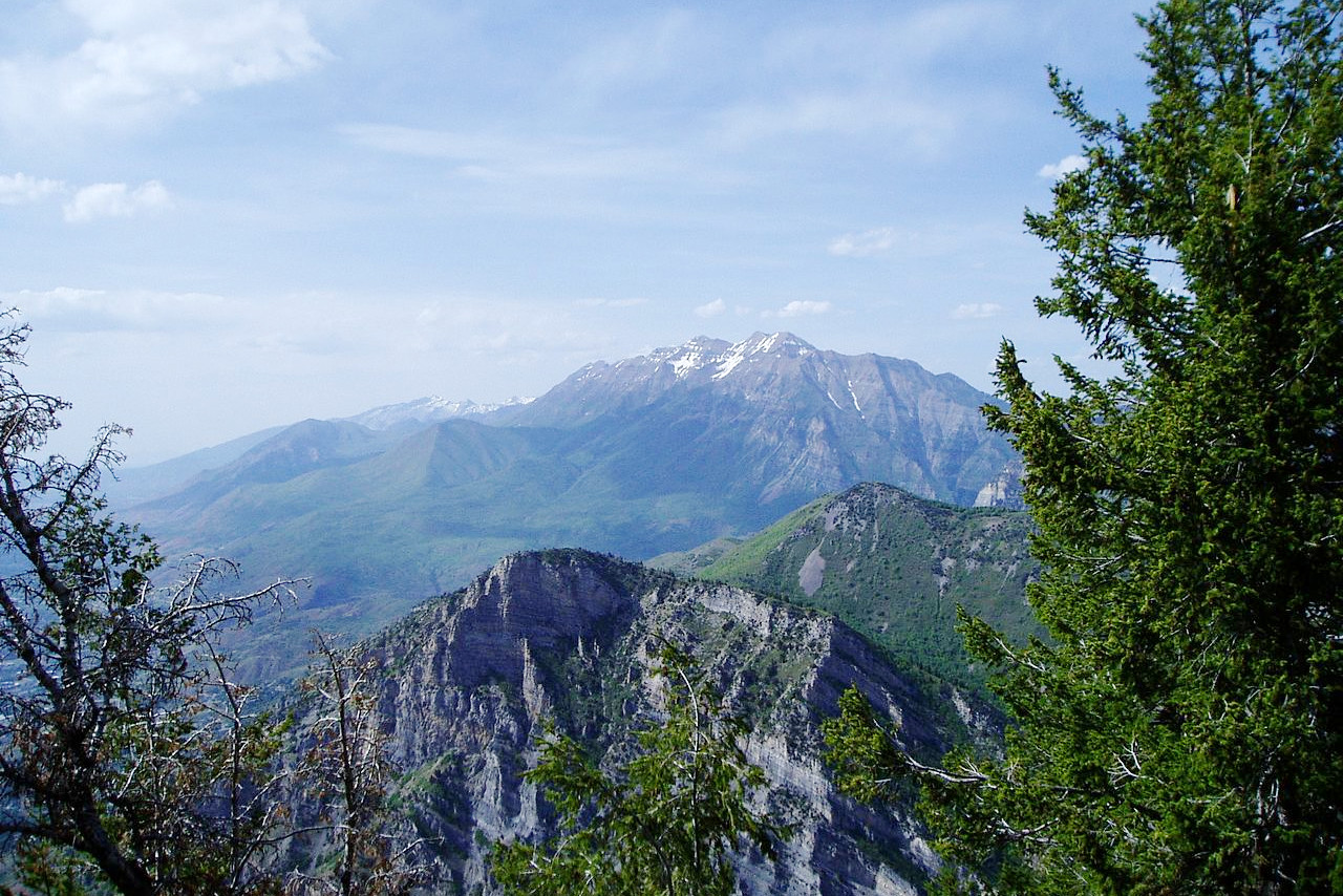
The Wasatch Mountain range constitutes the eastern margin of the Great Basin in central and northern Utah. Its steep fault scarp faces west, and rises from 4,000 to 6,000 feet (1,200–1,800 m) above the basin floor; the eastern slope is more gentle, but both slopes are much scored by deep canyons. Its highest summit is Mount Nebo at 11,933 feet (3,637 m). At the western base of the Wasatch are Salt Lake City, Ogden, Provo and other smaller cities, situated where rivers issue from the mountains soon to disappear on the desert plains.
What is the nature of Utah like?
.jpg)
.jpg&oldid=679523797)
.JPG&oldid=621939791)
.jpg&oldid=697606956)
Western Utah and vast areas along the Colorado river in the east and south-east are practically treeless. The lower plateaus and many of the basin ranges, as well as the basins themselves, are deserts. The higher plateaus, the Uinta and Wasatch mountains, bear forests of fir, spruce and pine, and the lower slopes are dotted with pinyon, juniper, and scrub cedar. On the slopes of mountain valleys grow cedars, dwarf maples and occasional oaks. Willows and cottonwoods grow along streams. Bunch grass is abundant on the hillsides the year round. Among other plants common to Utah are the elder, wild hop, dwarf sunflower, and several species of greasewood and cacti. Extreme desert conditions occur in southwestern Utah—this is a small-leafed shrub desert in which the creosote bush is the dominant species.
What is the climate of Utah like?
Utah has a wide range of climate due to its high mountains. Extremely cold weather may occur on the lofty plateaus and mountain ranges, while the intervening valleys and basins have a hotter climate. In general Utah has continental climate, although the presence of Great Salt Lake has a modifying effect on the climate in the northwest. Frosts occur early in September and as late as the end of May, and in the higher valleys they may occur at any time. Rainfall is low, and the greater part of it occurs in the form of snow in the winter months, summer being the dry season.
| Climate data for Salt Lake City (1991–2020) | |||||||||||||
|---|---|---|---|---|---|---|---|---|---|---|---|---|---|
| Month | Jan | Feb | Mar | Apr | May | Jun | Jul | Aug | Sep | Oct | Nov | Dec | Year |
| Average high °F (°C) | 38.6 (3.7) | 44.7 (7.1) | 55.3 (12.9) | 61.9 (16.6) | 72.6 (22.6) | 84.1 (28.9) | 94.0 (34.4) | 91.7 (33.2) | 80.6 (27.0) | 65.5 (18.6) | 50.7 (10.4) | 39.0 (3.9) | 64.9 (18.3) |
| Average low °F (°C) | 24.2 (−4.3) | 28.6 (−1.9) | 36.3 (2.4) | 41.8 (5.4) | 50.4 (10.2) | 59.1 (15.1) | 68.2 (20.1) | 66.6 (19.2) | 56.3 (13.5) | 43.6 (6.4) | 32.8 (0.4) | 25.3 (−3.7) | 44.4 (6.9) |
| Average precipitation inches (mm) | 1.43 (36) | 1.30 (33) | 1.75 (44) | 2.16 (55) | 1.82 (46) | 0.95 (24) | 0.49 (12) | 0.58 (15) | 1.06 (27) | 1.26 (32) | 1.32 (34) | 1.40 (36) | 15.52 (394) |
| Average snowfall inches (cm) | 12.6 (32) | 10.6 (27) | 5.9 (15) | 2.8 (7.1) | 0.1 (0.25) | 0 (0) | 0 (0) | 0 (0) | 0 (0) | 0.5 (1.3) | 7.1 (18) | 11.7 (30) | 51.4 (131) |
| Source: NOAA | |||||||||||||
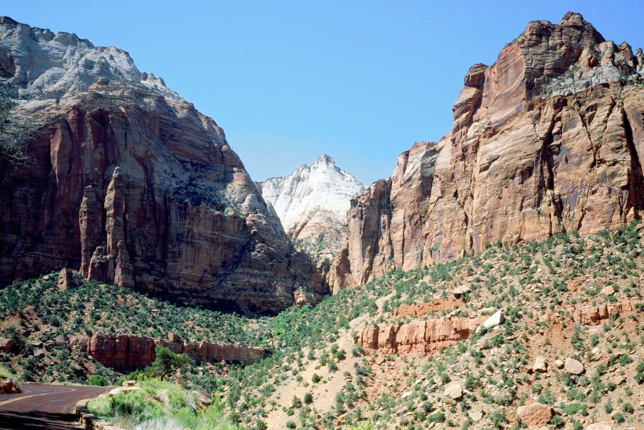
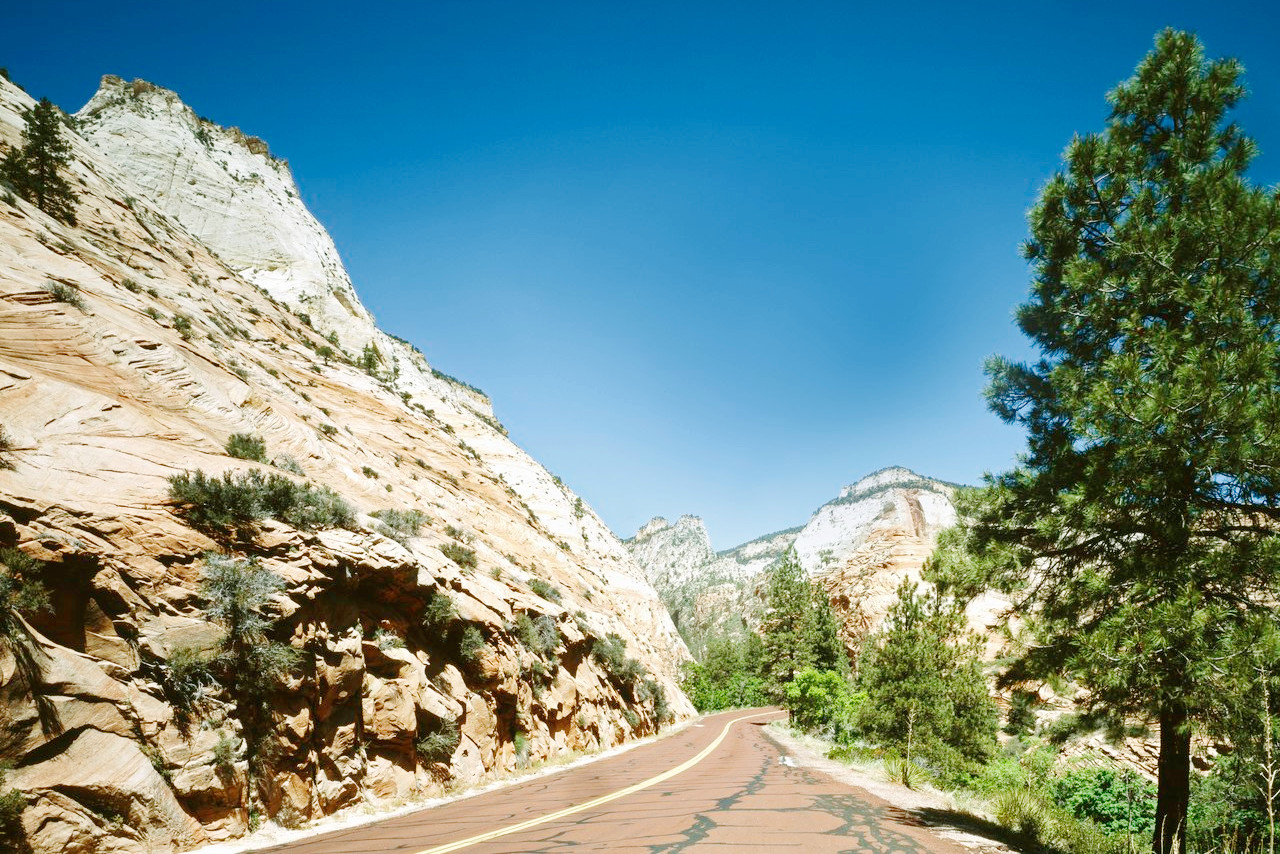 Red Road through Zion National Park
The official websites
Utah
The Beehive State
| Location: | Western central United States |
| Coordinates: | 39° 30′ N, 111° 30′ W |
| Size: | • 445 km N-S; 555 km E-W • 345 miles N-S; 275 miles E-W |
| Terrain: | The east and south is plateau characterized by canyons, buttes, and mesas. High mountains in the north and center. The arid Great Basin dominates the west including the Great Salt Lake |
| Climate: | Very dry with hot summers and mild winters. Some snow in the mountains |
| Highest point: | Kings Peak 4,123 m / 13,528 ft |
| Forest: | 34% (2016) (source) |
| Population: | 3,271,616 (2020) |
| Population density: | Low (14/km²) |
| Capital: | Salt Lake City |
| Languages: | English (88%); Spanish (7%) |
| Human Development Index: | Very High (0.935) |