_in_Audubon_County,_Iowa_2016630039_39221v.jpg)
The Geography of
Iowa
Why visit Iowa?
Iowa is absolutely beautiful. It is one of the great prairie states of America, famed for its fertile farmland and glacier-made lakes. Among its many attractions are thw 'Little Switzerland' region in the northeast, overlooking the Mississippi River; and the Effigy Mounds National Monument, near Marquette, a prehistoric Indian burial site.
Contents
Map
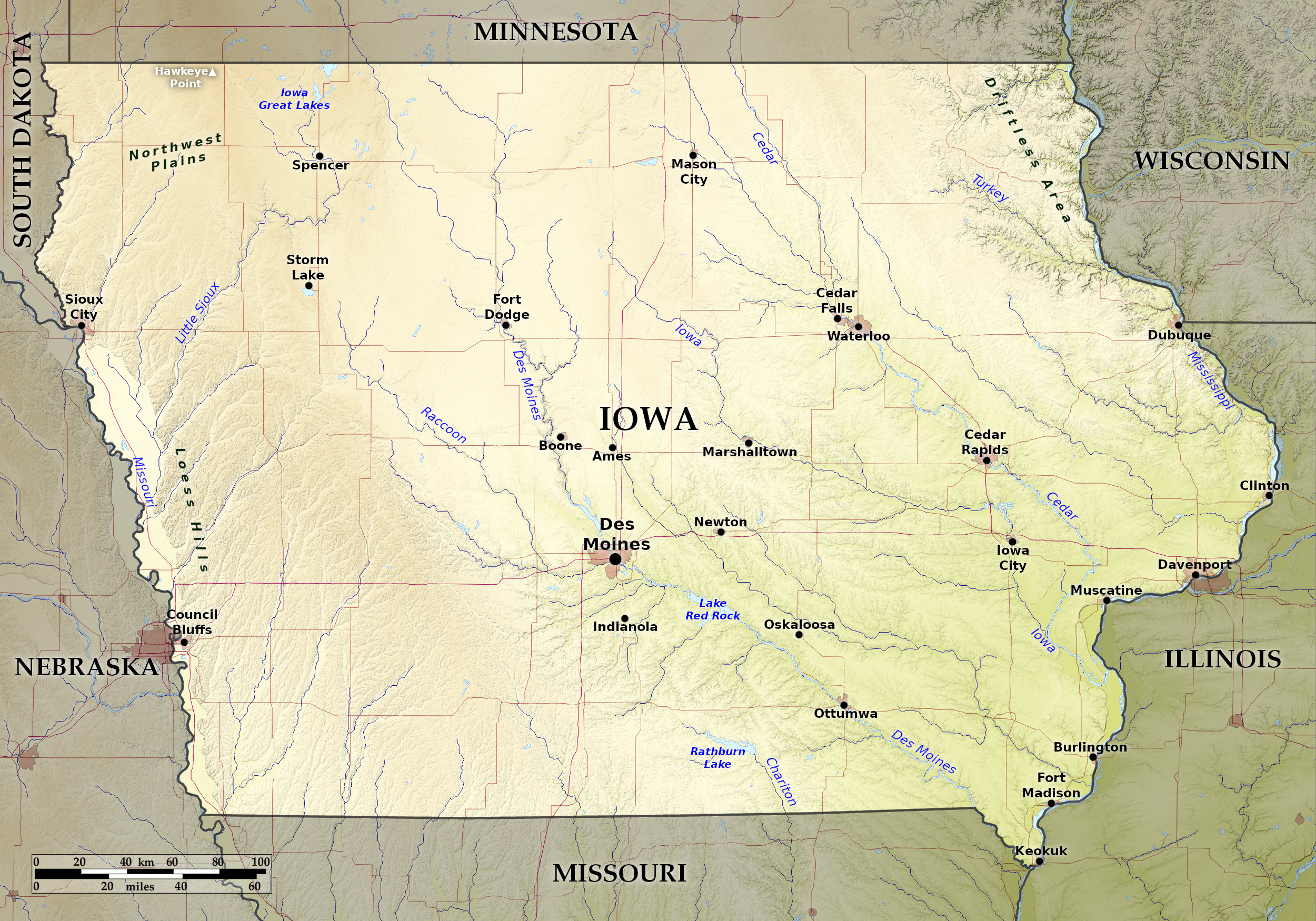 Relief map of Iowa
What is the landscape of Iowa like?
Central and Southern Iowa
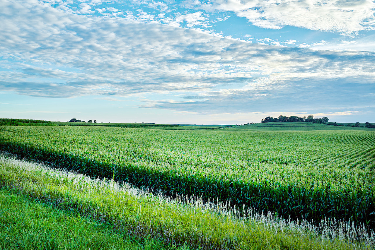
Iowa lies entirely in the great central prairie belt of the United States. Much of the State is a gently rolling plain that slopes from northwest-to-southeast to the mouth of the Des Moines River. The current landscape was molded by the ice sheets of the last Ice Age. Although not perfectly level, a greater part of Iowa is so free from natural obstructions that the country roads are laid out in squares, crossing at right angles with the absolute regularity of a chessboard.
The major rivers in the center and east of the State, such as the Des Moines River, the Iowa River, and the Cedar River, flow through valleys broad at their sources, which gently slope in the middle of their courses, but becoming narrower and deeper towards their mouths on the Mississippi River which forms the eastern border of the Iowa. The south of Iowa is very uniform, but it abounds with fertile plains interspersed with meandering streams which intersect the larger rivers.
Northern Iowa
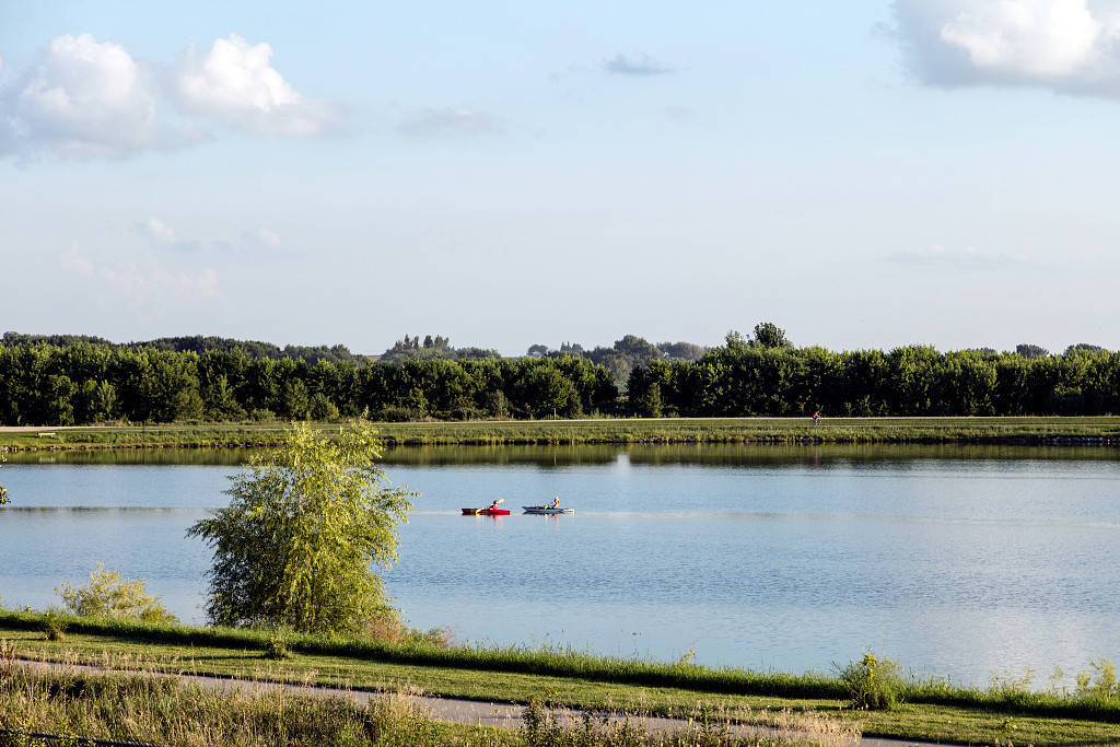
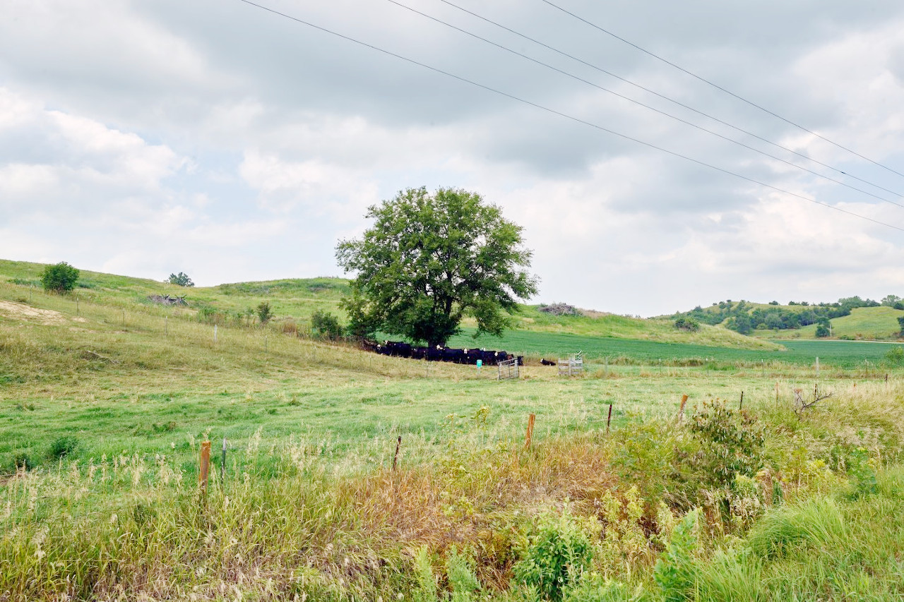
The northern half of Iowa is somewhat broken and irregular; rounded hills mingle with depressions sometimes occupied by small shallow lakes or ponds. The largest lakes are Spirit Lake (9 mi/14 km long) and West Okoboji Lake (6 mi/10 km long), are found in Iowa's 'Great Lakes' region both near the State's northwest border. These are clear, pebbly lakes in glacier-scoured beds.
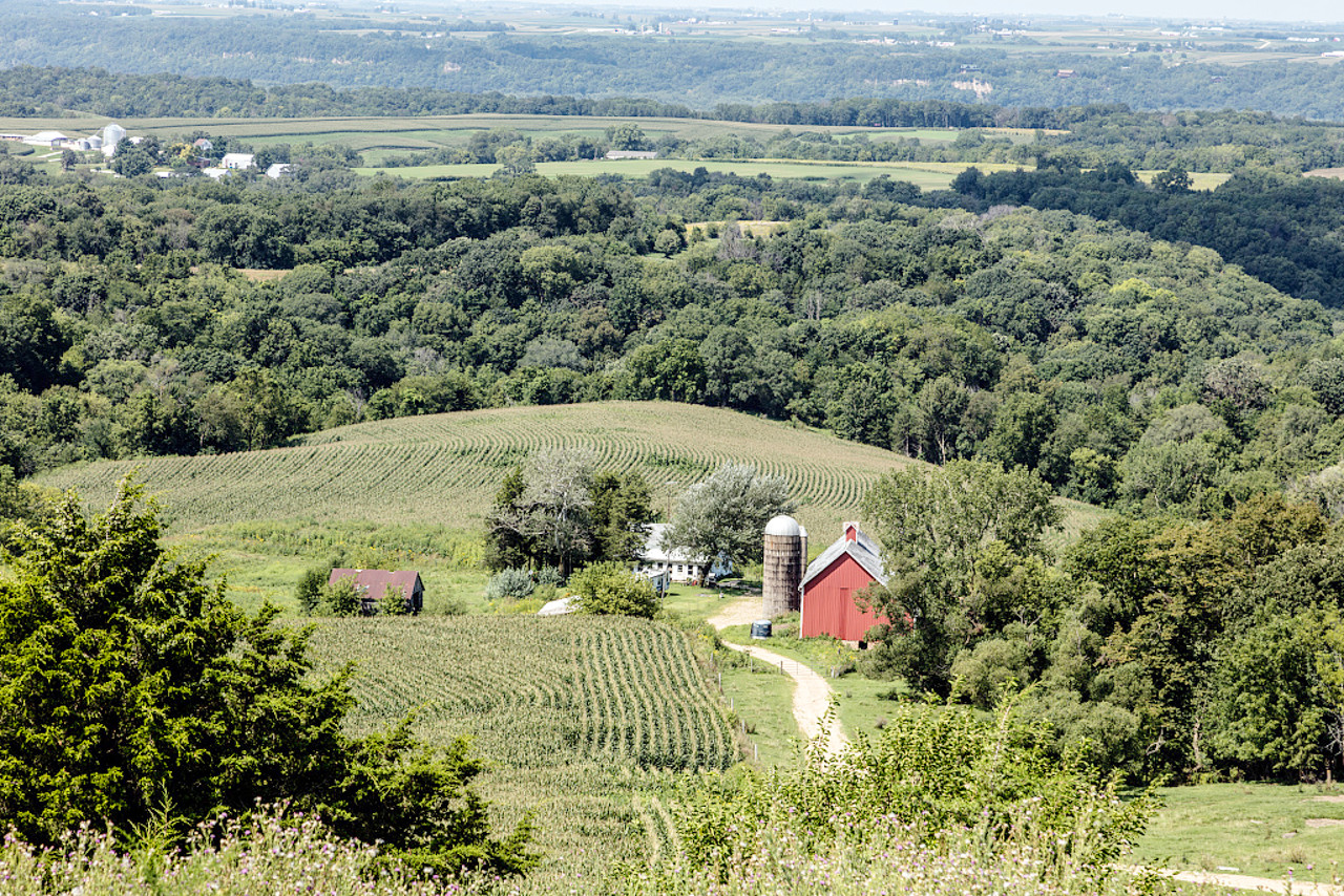
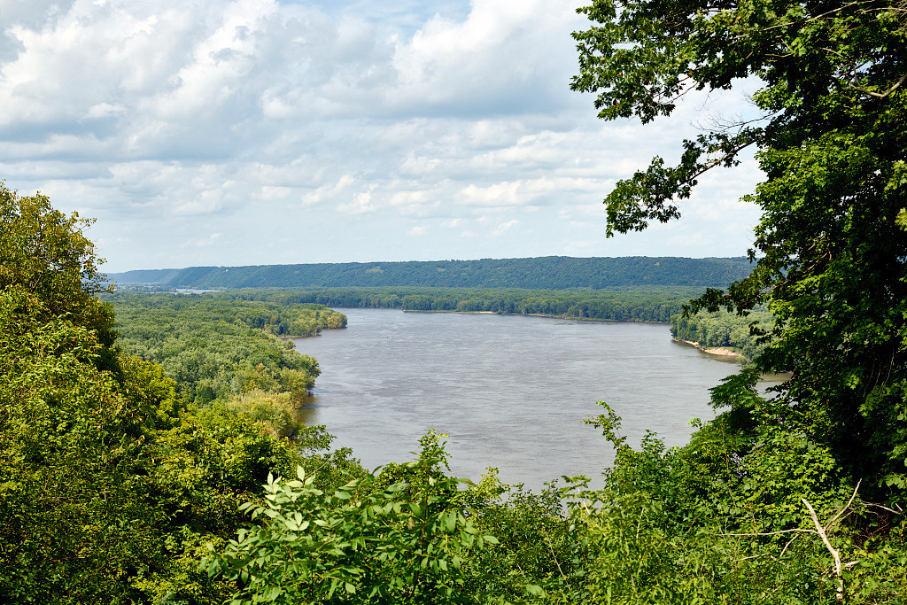
The northeast of the State is known as the Driftless Area. Here cliffs frequently rise almost vertically from the banks of the rivers to a height of 300 to 400 feet (90–120 m). Between the river valleys are little rounded hills often topped with trees. The countless streams flow circuitously between steep if not vertical cliffs or in deep craggy ravines overlooked by distant hills. These picturesque ravines and bold rocky bluffs lend to this portion of the Mississippi River a striking beauty all its own.
Western Iowa
The western part of Iowa is drained by the Missouri River and its tributaries. Here extends a line of mound-like bluffs—Loess Hills— usually free from rocks, but rising abruptly from the flood plain of the Missouri River to a height varying from 100 to 300 feet (30–90 m). The streams which flow down to the Missouri have steep but grassy banks 200 feet (60 m) in height or more.
What is the nature of Iowa like?
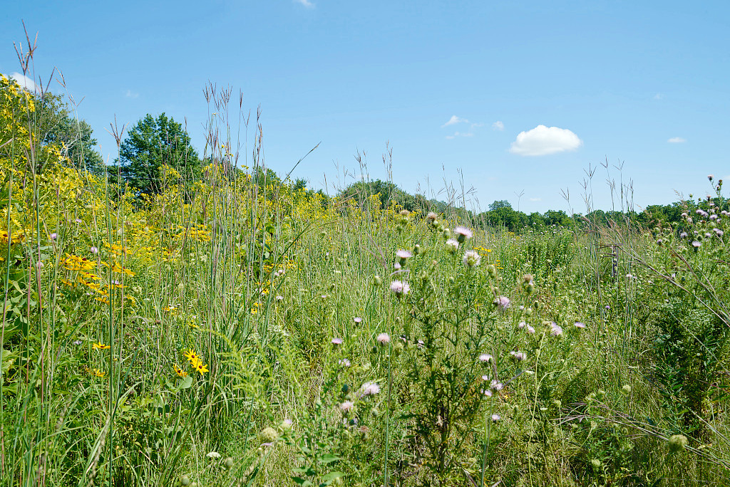
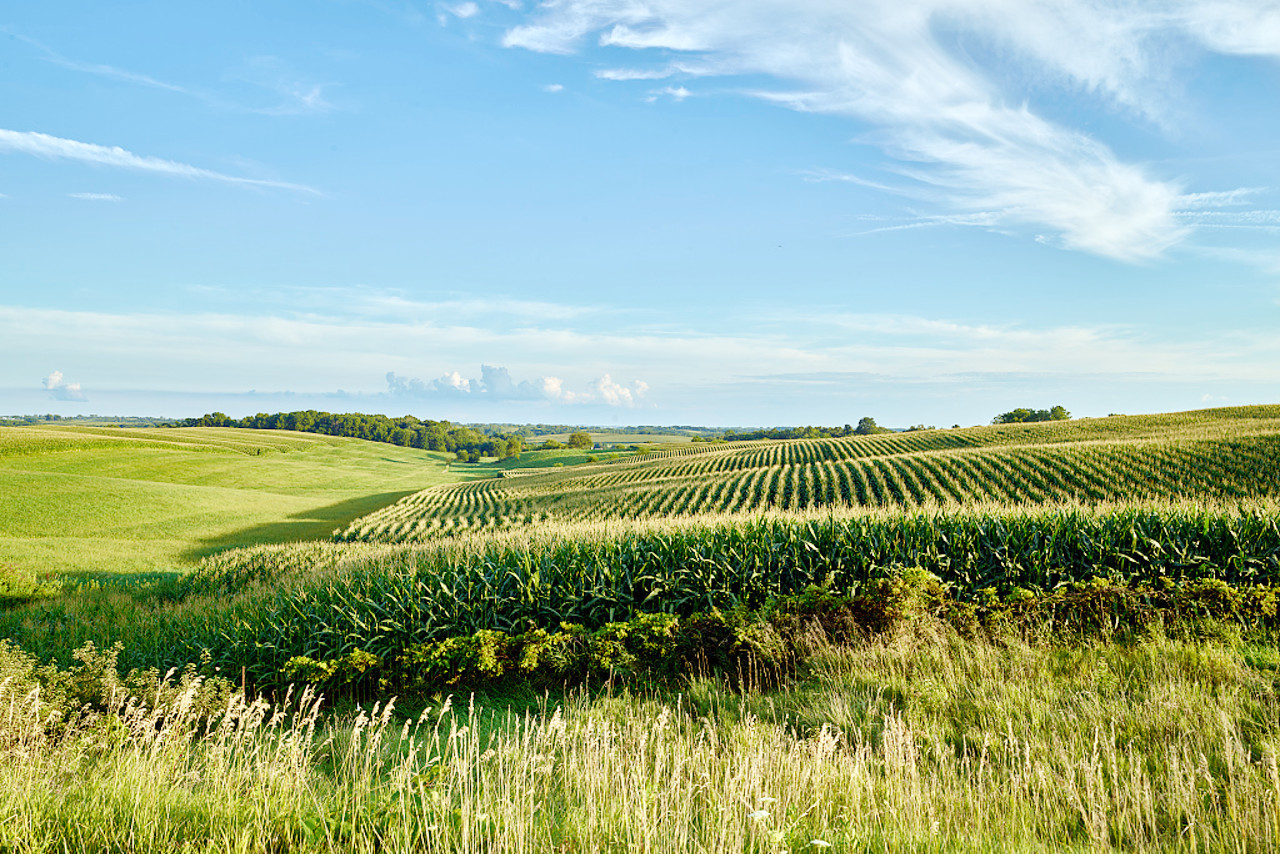
The prairies of Iowa are its distinguishing feature. Much of it is now, of course, farmland, but the natural meadows, where they occur, have a rich coating of coarse grass, interspersed with hazel thickets and fragrant shrubs, and decorated with with wildflowers such as honeysuckles, jessamines, wild roses, and violets. Other notable plants are tumblegrass, western beard-tongue, and prickly pear cactus in the northeast, pink lady's slipper and twinleaf in the eastern woodlands, arrowgrass in the northwest, and erect dryflower and royal and cinnamon ferns in sandy regions.
The native forests can be found in the valleys of the rivers and the bordering bluffs, although small woodland groves can be seen in all parts of the state. The trees include the cottonwood, ash, maple, hickory, black walnut, poplar, box elder, cedar, and varieties of oak. Scanty forests of pine and cedar are found on some of the bluffs.
What is the climate of Iowa like?
Iowa has a continental climate with hot summers, cold winters, and wet springs. Des Moines, in the central part of the state, has a normal daily maximum temperature of 86°F (30°C) in July and a normal daily minimum of 14°F (–10°C) in January.
Two thirds of the rain falls from April to October, and this fact, together with high temperatures during the summer makes Iowa very lush and fertile.
| Climate data for Des Moines (1991–2020) | |||||||||||||
|---|---|---|---|---|---|---|---|---|---|---|---|---|---|
| Month | Jan | Feb | Mar | Apr | May | Jun | Jul | Aug | Sep | Oct | Nov | Dec | Year |
| Average high °F (°C) | 30.9 (−0.6) | 35.7 (2.1) | 49.2 (9.6) | 62.0 (16.7) | 72.4 (22.4) | 81.9 (27.7) | 85.6 (29.8) | 83.6 (28.7) | 76.9 (24.9) | 63.4 (17.4) | 48.3 (9.1) | 35.9 (2.2) | 60.5 (15.8) |
| Daily mean °F (°C) | 22.3 (−5.4) | 26.9 (−2.8) | 39.4 (4.1) | 51.3 (10.7) | 62.4 (16.9) | 72.2 (22.3) | 76.0 (24.4) | 73.9 (23.3) | 66.2 (19.0) | 53.2 (11.8) | 39.3 (4.1) | 27.7 (−2.4) | 50.9 (10.5) |
| Average low °F (°C) | 13.8 (−10.1) | 18.0 (−7.8) | 29.6 (−1.3) | 40.6 (4.8) | 52.3 (11.3) | 62.4 (16.9) | 66.4 (19.1) | 64.2 (17.9) | 55.4 (13.0) | 42.9 (6.1) | 30.2 (−1.0) | 19.5 (−6.9) | 41.3 (5.2) |
| Average precipitation inches (mm) | 1.08 (27) | 1.34 (34) | 2.17 (55) | 4.02 (102) | 5.24 (133) | 5.26 (134) | 3.82 (97) | 4.17 (106) | 3.18 (81) | 2.78 (71) | 1.91 (49) | 1.58 (40) | 36.55 (928) |
| Average snowfall inches (cm) | 9.4 (24) | 10.2 (26) | 4.4 (11) | 1.2 (3.0) | 0.2 (0.51) | 0.0 (0.0) | 0.0 (0.0) | 0.0 (0.0) | 0.0 (0.0) | 0.5 (1.3) | 2.7 (6.9) | 7.9 (20) | 36.5 (93) |
| Source: NOAA | |||||||||||||
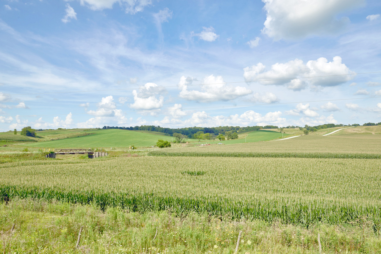
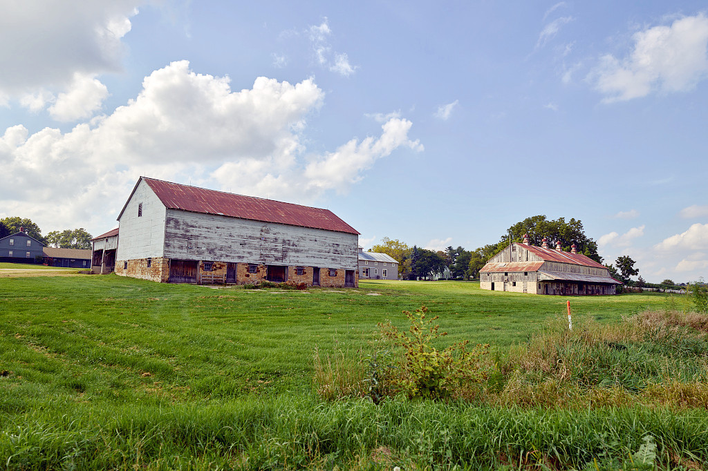
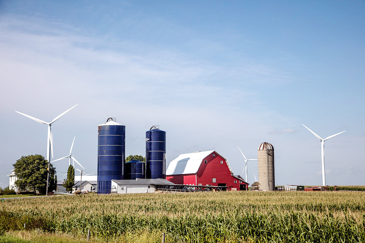 Farm scene in Hardin County
The official websites
Iowa
The Hawkeye State
| Location: | Western north-central United States |
| Coordinates: | 42° 00′ N, 93° 30′ W |
| Size: | • 500 km N-S; 320 km E-W • 310 miles N-S; 240 miles E-W |
| Terrain: | Gently rolling plain that slopes from the northwest to the southeast |
| Climate: | Humid, continental climate with hot summers, cold winters, and wet springs |
| Highest point: | Hawkeye Point 510 m / 1,670 ft |
| Forest: | 8.4% (2016) (source) |
| Population: | 3,155,070 (2019) |
| Population density: | Low (22/km²) |
| Capital: | Des Moines |
| Languages: | English |
| Human Development Index: | Very High (0.935) |