.jpeg)
.JPG)
.jpg)
.JPG)
The Geography of
Kansas
Why visit Kansas?
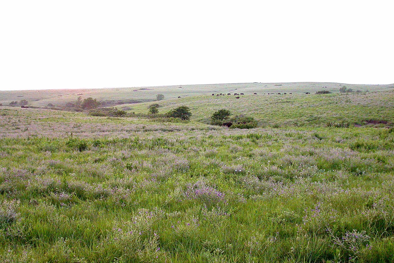
The rolling hills and prairies make Kansas a great place to explore. The prairies in Kansas are beautiful—they are so vast and open, and the sky is always clear. You can see for miles, and it is always a pleasure to look out at the natural beauty. Kansas was once America's frontier—Dodge City was the 'cowboy capital of the world'.
Contents
Map
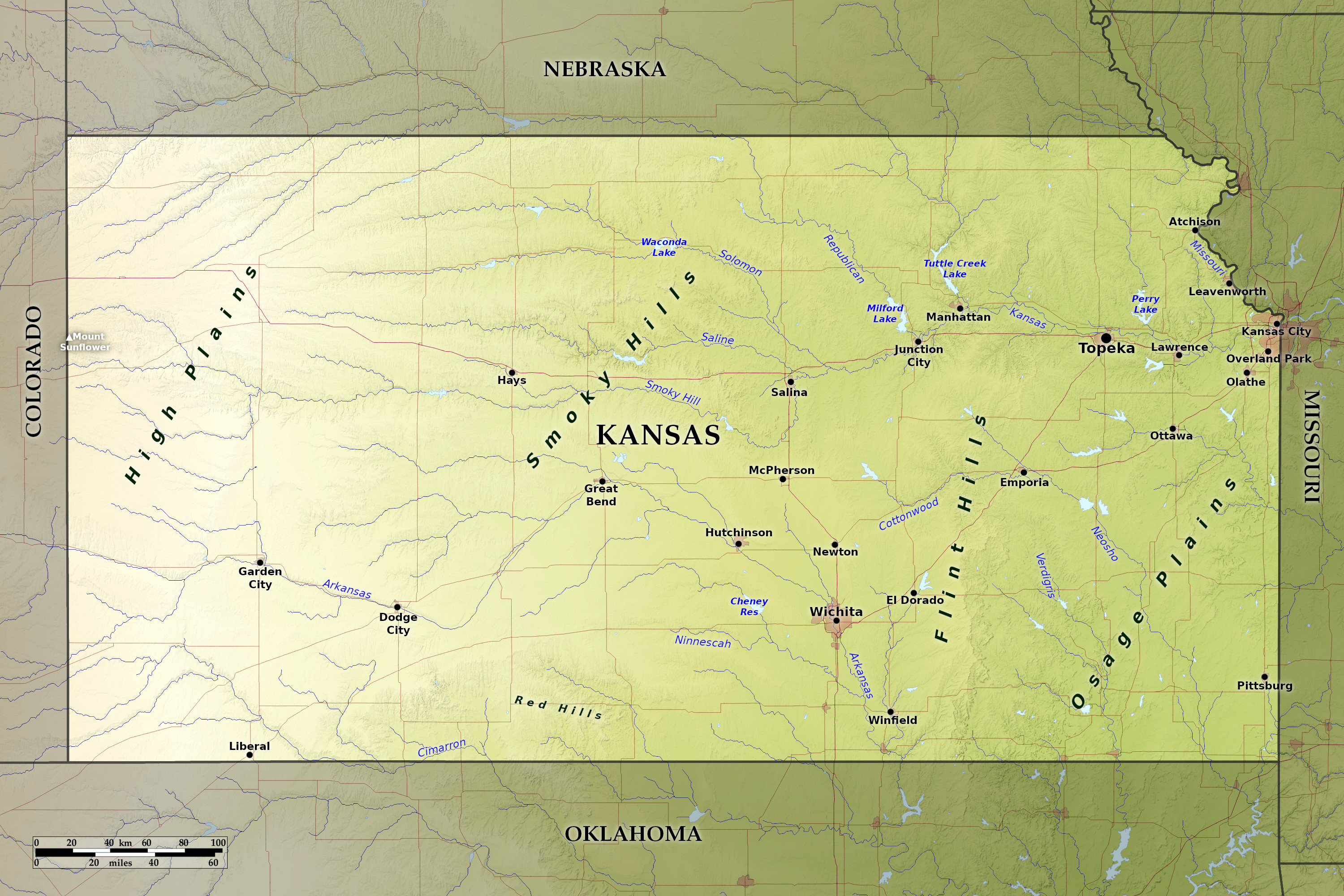 Relief map of Kansas
What is the landscape of Kansas like?
Although part of the Great Plains, Kansas is neither flat nor monotonous, instead it is a gently rolling prairie, interspersed with low hills and rivers flowing through wide valleys of their own making. Three main regions define the state.
Eastern Kansas
.jpg)
The eastern part of Kansas consists of the Osage Plains, Flint Hills, and Arkansas River Lowlands. In the northeast, the Missouri River forms nearly 75 miles of the State's boundary. The broad bottom-lands of the Missouri are lined with bluffs 200 feet (60 m) high, and similar but smaller bluffs are found along many other rivers, especially in the northern half of the State; in some places these bluffs form even canyon-like gorges.
The landscape of eastern Kansas is chiefly undulating, and presents a succession of rich prairies, grass-covered hills, and tree-lined valleys. Southeastern Kansas is marked with a system of ridges, or low-lying mountains and hills—a small portion of the Ozark hills.
Central Kansas
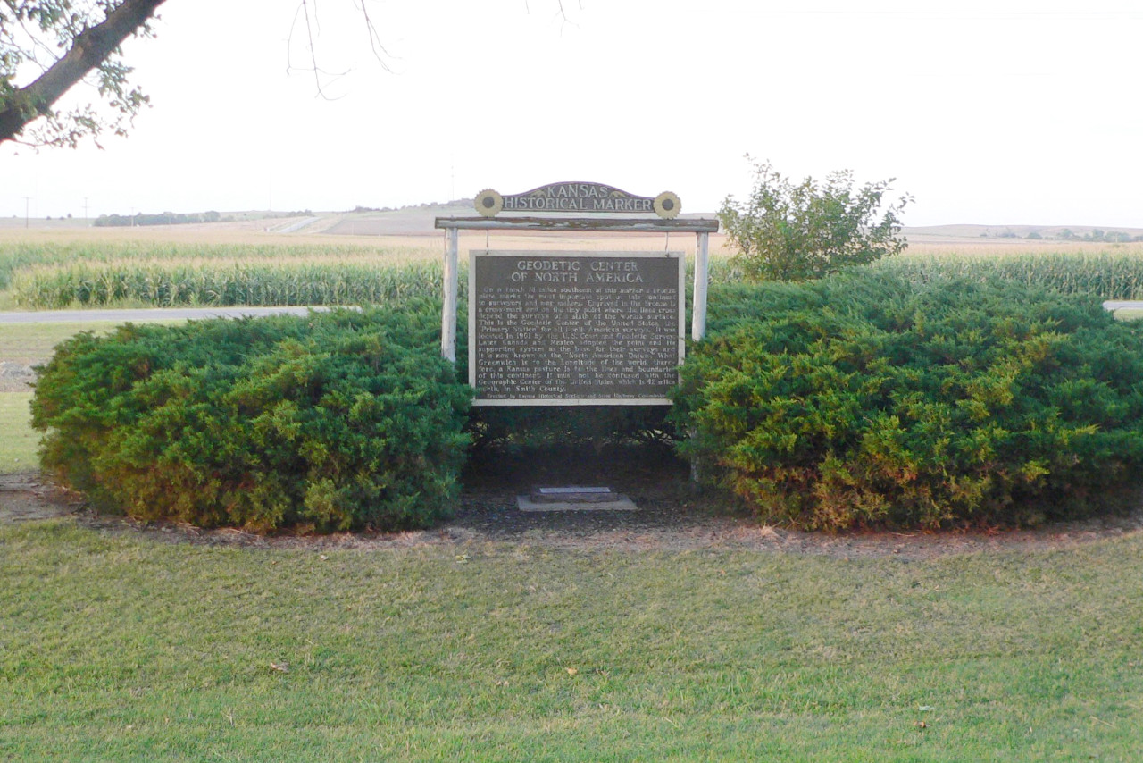
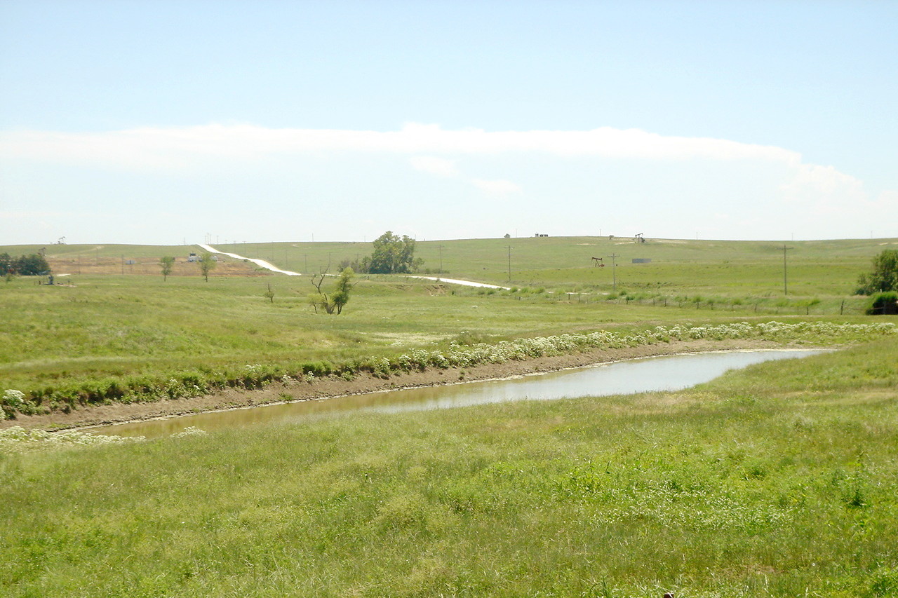
The central third of Kansas comprises the Smoky Hills to the north and several lowland regions to the south. This is the geographic center of the continental United States (specifically in Smith County in north-central Kansas). The great central valley of this region is traversed by the Kansas River, which together with its tributaries, the Smoky Hill, Saline, and Solomon rivers, extends the two-thirds the length of the state from east-to-west. The other great river is the Arkansas River, which runs through the city of Wichita and is enriched by a network of tributaries.
Western Kansas
The western third of Kansas is not so diverse in its scenery, but it has a rolling and varied landscape, and the northwest is distinctively hilly. Here, the land rises gradually to about 4,000 feet (1,200 m) on the western border. This is the Great Plains proper, a region known as the High Plains where water is less abundant.
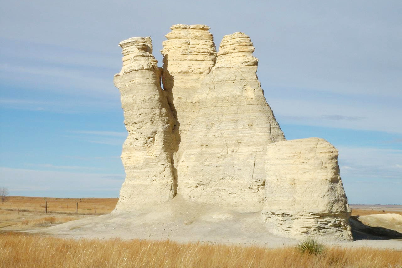
The highest point is reached at Mount Sunflower (a mountain in name only) at 4,039 feet (1,231 m) on the Colorado border. In the southwestern corner, south of the Arkansas River, is a stretch of shifting sand-dunes about 100 miles long and several miles wide. The valley of the Cimarron River, in the south, has deep cuts, almost gorges. On the plains of west-central Kansas, erosion caused by water and windblown sand have sculpted remarkable rock formations.
.jpeg) Cimarron Prairie landscape, Konza Prairie Preserve
Cimarron Prairie landscape, Konza Prairie Preserve
What is the nature of Kansas like?
(NRCS_Photo_Gallery).jpeg)
.jpg&oldid=479332054)
.JPG&oldid=564300147)
.jpg&oldid=622239529)
.JPG&oldid=564131017)
.jpg&oldid=621626267)
.jpg&oldid=475786270)
(NRCS_Photo_Gallery).jpg&oldid=439996948)
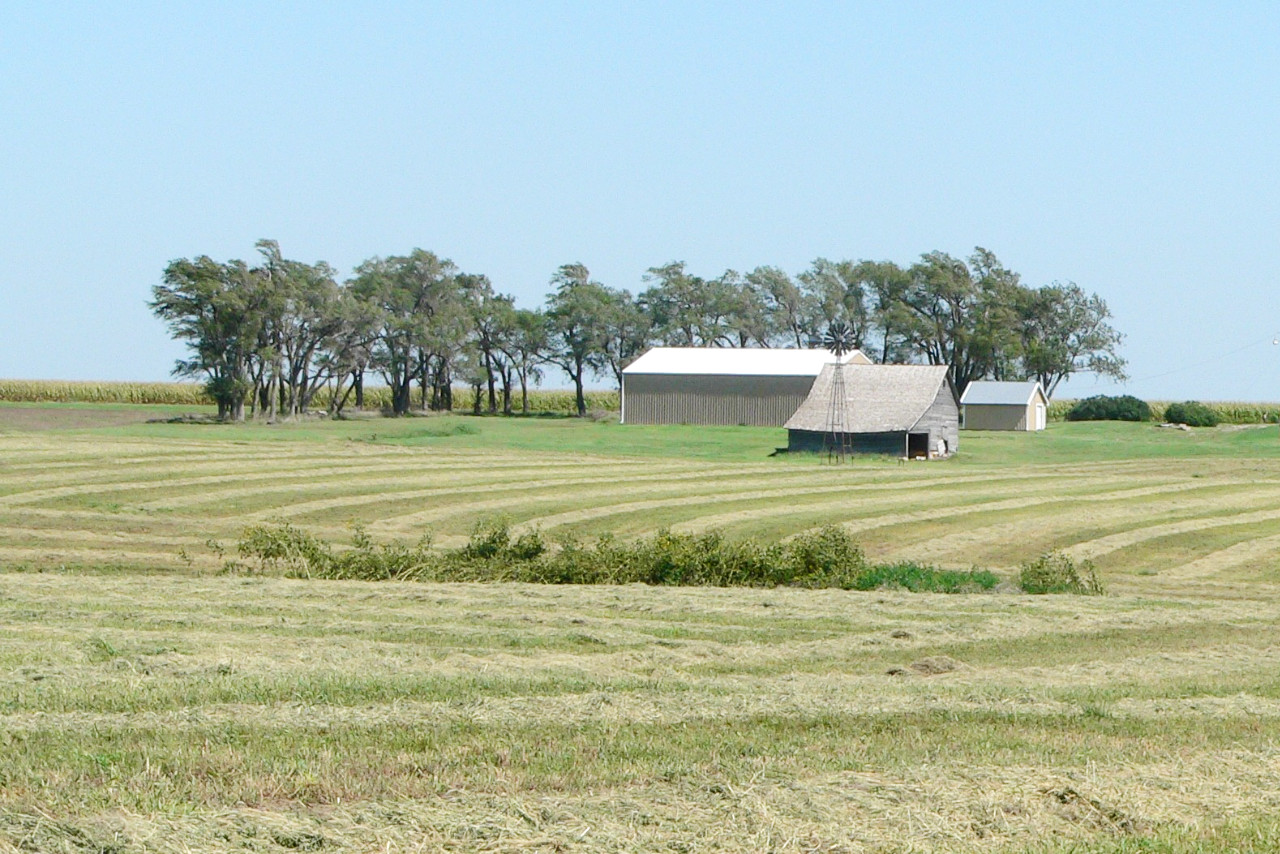
Forests make up just five percent of Kansas, mostly located in the east as well as along the river valleys. Thin wind-break rows of trees are a feature of the prairies, and there are trees in and around the cities. Hackberry, black walnut, and sycamore grow in the east while box elder and cottonwood predominate in western Kansas. One native conifer, eastern red cedar, is found generally throughout the state.
Grasses include bluestem, buffalo grass, blue and hairy gramas, and alkali sacaton. Characteristic wildflowers include wild daisy, ivy-leaved morning glory, and smallflower verbena. The hardy and ubiquitous sunflower is the state flower. Cactus and yucca occur in the west.
.jpeg) Greater prairie-chickens in the Flint Hills
Greater prairie-chickens in the Flint Hills
.jpg&oldid=494920066)
What is the climate of Kansas like?
Kansas has a continental climate but without tropical heat or arctic cold. Extremes of heat and cold occur, but as a rule the winters are cold but dry, while the summer heat is tempered by the perpetual prairie breezes. The air is clear and dry, sunny days predominate, and the summer nights are usually cool and refreshing. Temperatures average 30°F (-1°C) in January and 79°F (26°C) in the July.
Rainfall diminishes towards the west, and droughts sometimes occur in the western region. Rain is often frequent in the early summer when the plants are most in need of it. On average, Kansas receives 27 inches (69 cm) of snow each winter, but the eastern prairies can receive up to 40 inches (102 cm), with the western plains receiving an average of 17 inches (43 cm).
| Climate data for Topeka, Kansas (1981−2010) | |||||||||||||
|---|---|---|---|---|---|---|---|---|---|---|---|---|---|
| Month | Jan | Feb | Mar | Apr | May | Jun | Jul | Aug | Sep | Oct | Nov | Dec | Year |
| Average high °F (°C) | 39.9 (4.4) | 45.0 (7.2) | 56.4 (13.6) | 66.7 (19.3) | 75.9 (24.4) | 84.7 (29.3) | 89.5 (31.9) | 88.6 (31.4) | 80.4 (26.9) | 68.4 (20.2) | 54.6 (12.6) | 41.7 (5.4) | 66.1 (18.9) |
| Daily mean °F (°C) | 29.7 (−1.3) | 34.4 (1.3) | 44.8 (7.1) | 55.1 (12.8) | 65.0 (18.3) | 74.2 (23.4) | 79.0 (26.1) | 77.4 (25.2) | 68.4 (20.2) | 56.6 (13.7) | 43.8 (6.6) | 32.0 (0.0) | 55.0 (12.8) |
| Average low °F (°C) | 19.6 (−6.9) | 23.8 (−4.6) | 33.3 (0.7) | 43.5 (6.4) | 54.2 (12.3) | 63.7 (17.6) | 68.4 (20.2) | 66.2 (19.0) | 56.3 (13.5) | 44.7 (7.1) | 33.0 (0.6) | 22.3 (−5.4) | 44.2 (6.8) |
| Average precipitation inches (mm) | 0.86 (22) | 1.32 (34) | 2.49 (63) | 3.53 (90) | 4.91 (125) | 5.40 (137) | 3.82 (97) | 4.24 (108) | 3.66 (93) | 3.03 (77) | 1.85 (47) | 1.35 (34) | 36.46 (926) |
| Average snowfall inches (cm) | 4.9 (12) | 4.5 (11) | 1.6 (4.1) | 0.3 (0.76) | 0 (0) | 0 (0) | 0 (0) | 0 (0) | 0 (0) | 0.3 (0.76) | 1.0 (2.5) | 5.2 (13) | 17.8 (45) |
| Source: NOAA | |||||||||||||
_on_the_California,_Oregon,_and_Pony_Express_National_Historic_Trails_(2003).jpeg) Pony express station, Washington County
Pony express station, Washington County
_on_the_California,_Oregon,_and_Pony_Express_National_Historic_Trails_(2003)_(84784730-017b-4418-9f41-ac3d010bb4f4).JPG&oldid=423873647)
The official websites
Kansas
The Sunflower State
| Location: | Central United States |
| Coordinates: | 38° 30′ N, 98° 30′ W |
| Size: | • 335 km N-S; 660 km E-W • 210 miles N-S; 410 miles E-W |
| Terrain: | Rolling prairie plains rising towards the west |
| Climate: | Continental climate. Hot summers; cold winters; occasional drought |
| Highest point: | Mount Sunflower 1,231 m / 4,039 ft |
| Forest: | 4.8% (2016) (source) |
| Population: | 2,913,314 (2019) |
| Population density: | Low (13.5/km²) |
| Capital: | Topeka |
| Languages: | English 91%; Spanish 5.5% |
| Human Development Index: | Very High (0.927) |