.jpg)
.jpg)
.jpg)
.jpg)
.jpg)
The Geography of
Missouri
Why visit Missouri?
Missouri is a beautiful state bounded by mighty rivers that shaped its landscape—the Missouri to the northwest and the Mississippi to the east. Missouri has many small towns and a rich heritage. The state is filled with attractions like the Ozark Mountains; Mark Twain and Ozark state parks; the Lewis and Clark Trail; the Pony Express Museum at St Joseph; and even the birthplace of Jesse James.
Map
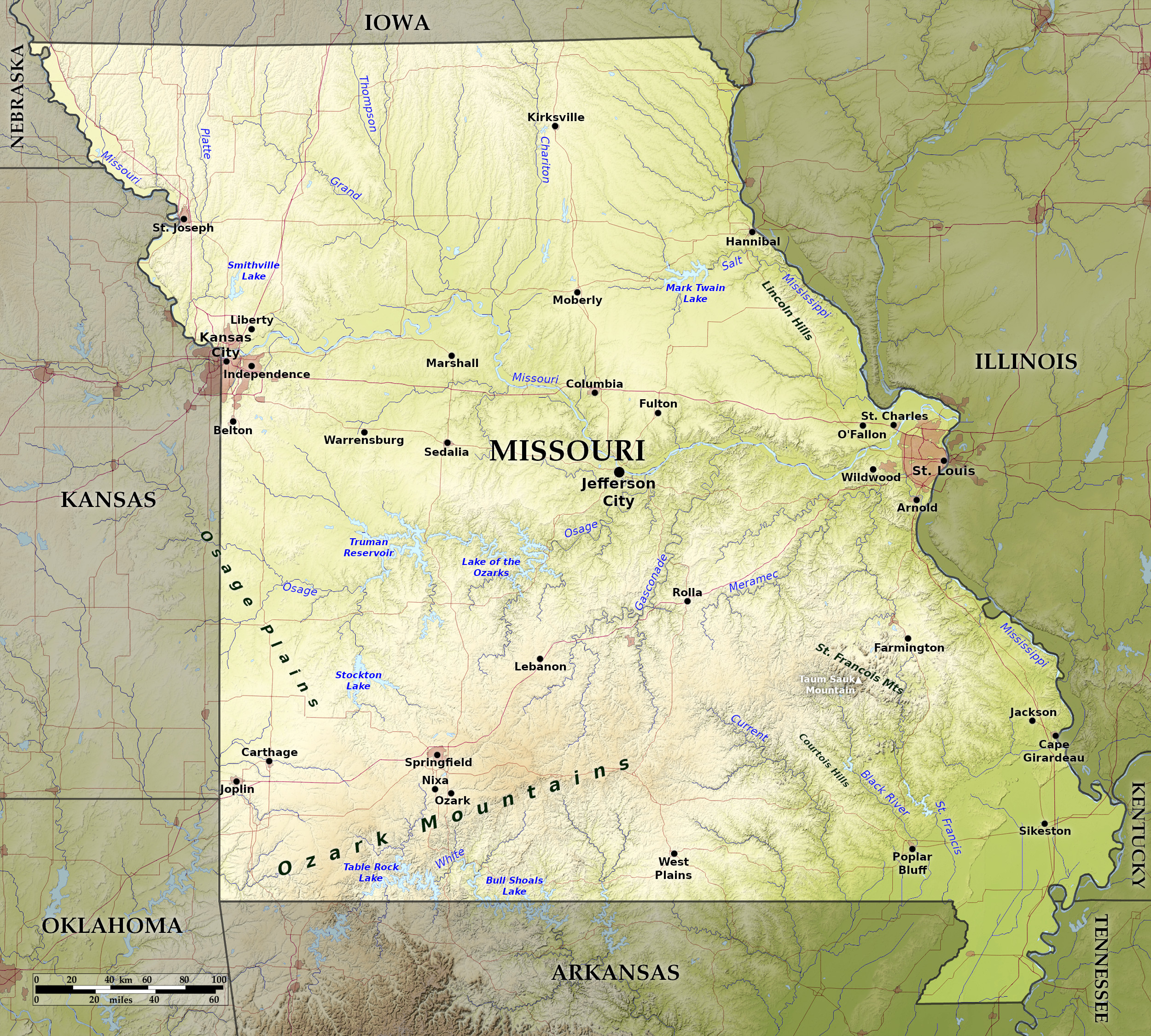 Relief map of Missouri
What is the landscape of Missouri like?
North
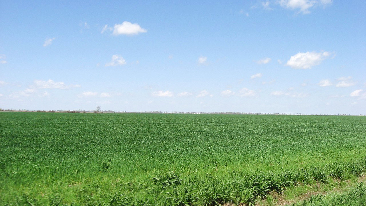
The prairie region which embraces northern Missouri, is part of the Northern Plains that stretch into Iowa, Nebraska, and Kansas. It is a beautiful, rolling country, with a great abundance of rivers lines with trees. The northern region is more hilly and broken in its western half, where it rises to about 1,000 feet (300 m) above sea-level in the northwestern corner of the state.
The two largest rivers are the Mississippi and the Missouri River, which connect the two largest metros of Kansas City and St. Louis. The Missouri River follows the western boundary of the state as far south as Kansas City; then turning east, it flows across the state and empties itself into the Mississippi about twelve miles above St. Louis.
South
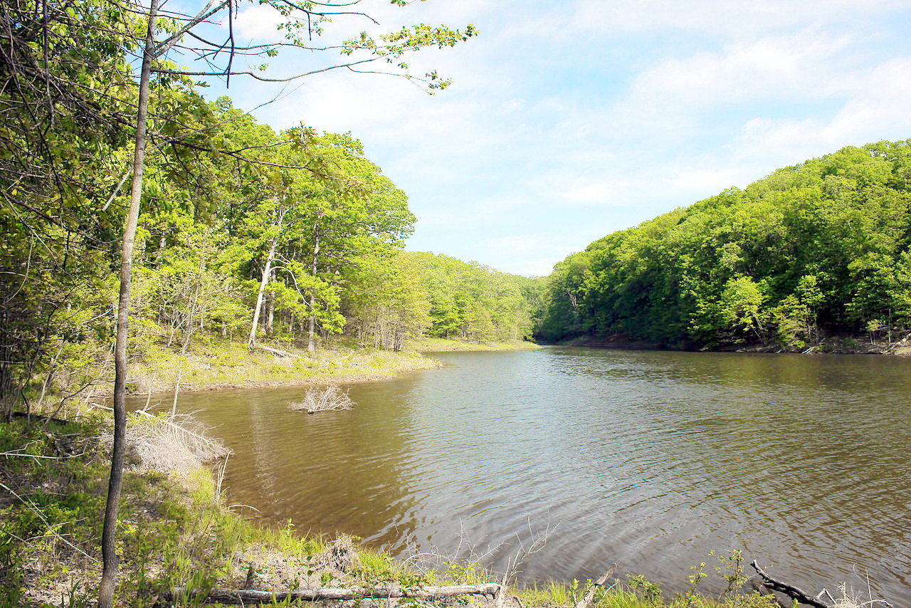
The hilly Ozark region has broad, smooth valleys, well rounded hills, and—despite some escarpments—generally smooth slopes and sky-lines. This is one of the least populous sections of the State, and it is exceedingly beautiful. There are an exceptional number of caves, many miles long, with hidden lakes and streams and great halls and galleries, adorned with stalactites. The highest point in the State are Tom Sauk Mountain (more than 1,800 feet / 550 m), in the Ozarks. On the Mississippi River, high rocky bluffs rise, sometimes to a height of 150 feet (50 m) or so above the water.
Southeast
The southeastern part of Missouri is known as the Missouri Bootheel region, and is part of the Mississippi lowlands. It is an undulating country, for the most part well drained, but swampy in its lowest portions. The Mississippi River is skirted with lagoons and lakes to the Arkansas border.
What is the nature of Missouri like?
.jpg)
.jpg&oldid=455043817)
.jpg&oldid=494291335)
.jpg&oldid=616238007)
.jpg&oldid=622144459)
.jpg&oldid=475721643)
.jpg&oldid=471015449)
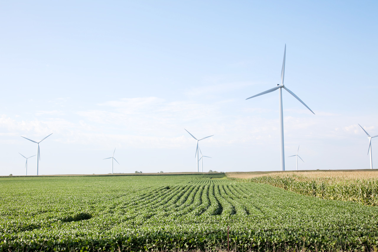
The north is essentially a rolling prairie with woodland mostly in the river valleys. The south is normally a forest area, thinning out westward, being occupied most largely by mixed hardwood trees—forests of oak, hickory, elm, maple, ash, locust, willow, persimmon, pecan, chestnut, and cherry trees, with cypress dominating in the Mississippi bottom lands at the southeast. Various types of wild grasses proliferate in the northern plains region. Missouri’s state flower is the hawthorn blossom.
What is the climate of Missouri like?
Missouri has a continental climate, with cool winters and hot, humid summers. In the southeast the climate can be subtropical, but summer temperatues are milder in the Ozark hills. Winds from the north and west are generally dry, cool, clear and invigorating; winds from the south and east bring warm rainfall from the Gulf of Mexico. The southeast winds blow from the arid lands and carry rising temperatures across the state; while winter winds from the northwest bring the low temperatures.
| Climate data for Jefferson City, Missouri (1991–2020) | |||||||||||||
|---|---|---|---|---|---|---|---|---|---|---|---|---|---|
| Month | Jan | Feb | Mar | Apr | May | Jun | Jul | Aug | Sep | Oct | Nov | Dec | Year |
| Average high °F (°C) | 39.6 (4.2) | 45.1 (7.3) | 55.5 (13.1) | 66.6 (19.2) | 75.2 (24.0) | 83.9 (28.8) | 88.0 (31.1) | 87.2 (30.7) | 79.9 (26.6) | 68.5 (20.3) | 55.1 (12.8) | 44.0 (6.7) | 65.7 (18.7) |
| Daily mean °F (°C) | 30.3 (−0.9) | 34.9 (1.6) | 44.6 (7.0) | 55.2 (12.9) | 64.9 (18.3) | 74.1 (23.4) | 78.3 (25.7) | 76.9 (24.9) | 69.0 (20.6) | 57.2 (14.0) | 45.0 (7.2) | 34.9 (1.6) | 55.4 (13.0) |
| Average low °F (°C) | 21.0 (−6.1) | 24.7 (−4.1) | 33.7 (0.9) | 43.8 (6.6) | 54.6 (12.6) | 64.3 (17.9) | 68.6 (20.3) | 66.6 (19.2) | 58.1 (14.5) | 45.8 (7.7) | 34.8 (1.6) | 25.7 (−3.5) | 45.1 (7.3) |
| Average precipitation inches (mm) | 2.21 (56) | 2.30 (58) | 3.24 (82) | 4.78 (121) | 5.17 (131) | 4.20 (107) | 4.35 (110) | 4.13 (105) | 4.24 (108) | 3.44 (87) | 3.24 (82) | 2.30 (58) | 43.60 (1,107) |
| Average snowfall inches (cm) | 2.9 (7.4) | 2.9 (7.4) | 0.4 (1.0) | 0.0 (0.0) | 0.0 (0.0) | 0.0 (0.0) | 0.0 (0.0) | 0.0 (0.0) | 0.0 (0.0) | 0.0 (0.0) | 0.2 (0.51) | 2.5 (6.4) | 8.9 (23) |
| Source: NOAA | |||||||||||||
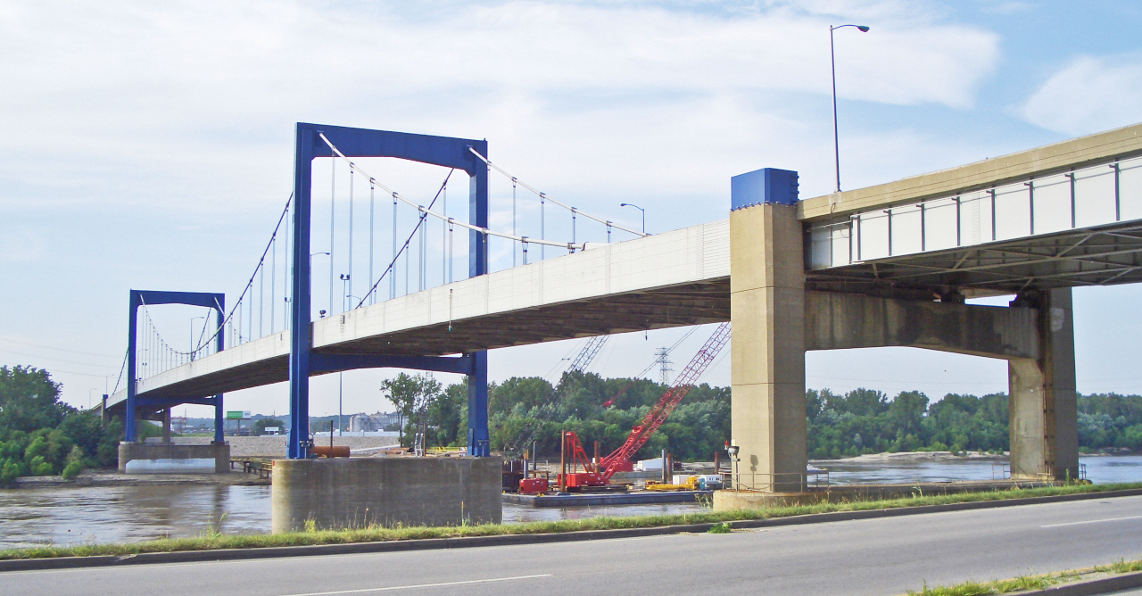
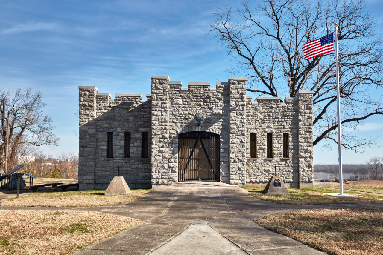 Fort on the Mississippi River, Cape Girardeau, southeast Missouri
The official websites
Missouri
The Show-Me State
| Location: | East-central United States |
| Coordinates: | 38° 15′ N, 92° 30′ W |
| Size: | • 495 km N-S; 460 km E-W • 310 miles N-S; 285 miles E-W |
| Terrain: | Rolling hills, fertile flatlands, and well-watered-prairie. Low mountains in the southwest. |
| Climate: | Continental climate. Long, warm, and humid summers. Cool winters with moderate snowfall |
| Highest point: | Taum Sauk Mountain 540 m / 1,772 ft |
| Forest: | 35% (2016) (source) |
| Population: | 6,151,548 (2019) |
| Population density: | Low (34/km²) |
| Capital: | Jefferson City |
| Languages: | English (94%) |
| Human Development Index: | Very High (0.913) |